The best hikes from bus stations around Bischofsheim an der Rhön
4.6
(5460)
20,827
hikers
208
hikes
Bus station hiking trails around Bischofsheim an der Rhön are situated within the Rhön Mountains, a low mountain range characterized by varied terrain including gentle hills, open plateaus, and distinct natural features. The region, often called the "Land of Open Distances," offers expansive panoramic views from its treeless heights. Notable physical features include the Kreuzberg mountain, various moors like Schwarzes Moor and Rotes Moor, and the Kaskadenschlucht gorge. This diverse landscape provides a range of hiking experiences accessible by public…
Last updated: July 11, 2026
4.8
(447)
1,668
hikers
Moderate hike. Good fitness required. Easily-accessible paths. Suitable for all skill levels.
4.8
(180)
663
hikers
Moderate hike. Good fitness required. Easily-accessible paths. Suitable for all skill levels.

Sign up for free
4.8
(430)
1,406
hikers
Moderate hike. Good fitness required. Easily-accessible paths. Suitable for all skill levels.
4.7
(50)
207
hikers
Easy hike. Great for any fitness level. Easily-accessible paths. Suitable for all skill levels.
4.9
(53)
180
hikers
Moderate hike. Good fitness required. Easily-accessible paths. Suitable for all skill levels.
Get access to more routes and recommendations from other explorers.
Sign up for free
Already have an account?
Our route recommendations are based on thousands of hikes, rides, and runs completed by other people on komoot.
Start today with a free account
Your next adventure awaits.
Login or Signup
Popular around Bischofsheim an der Rhön

Stages of the HOCHRHÖNER Premium Hiking Trail

Extra tours South - Excellent premium hiking trails of the Rhön

Wonderful Green Band

Hike Germany’s Rhön Mountains on the Hochrhöner Trail
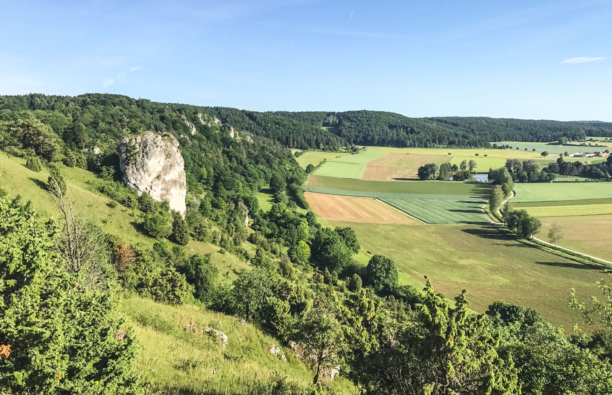
Between Altmühltal & Spruce Mountains – hiking in Franconia
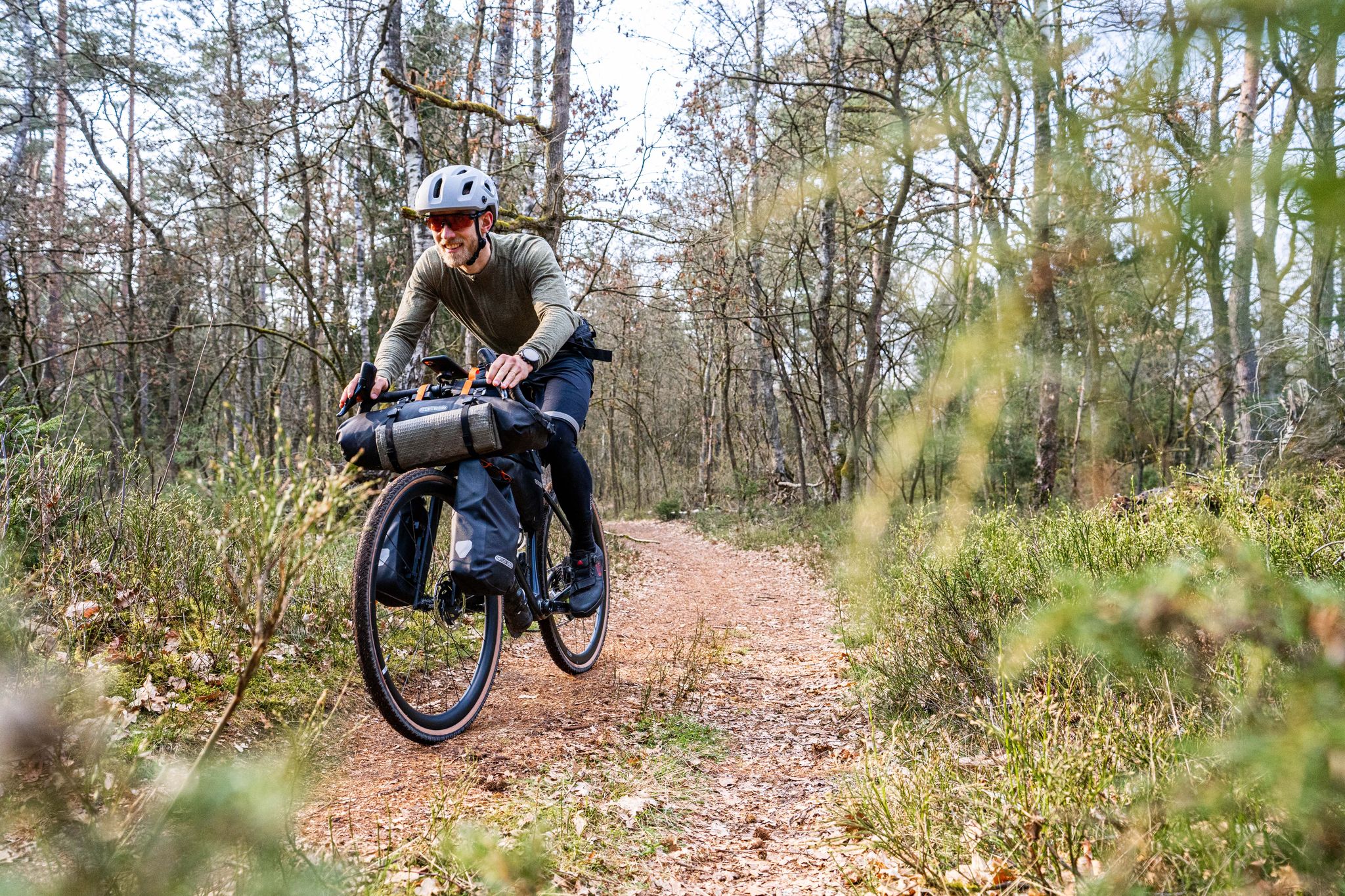
Gravel bikepacking from Hamburg to Munich
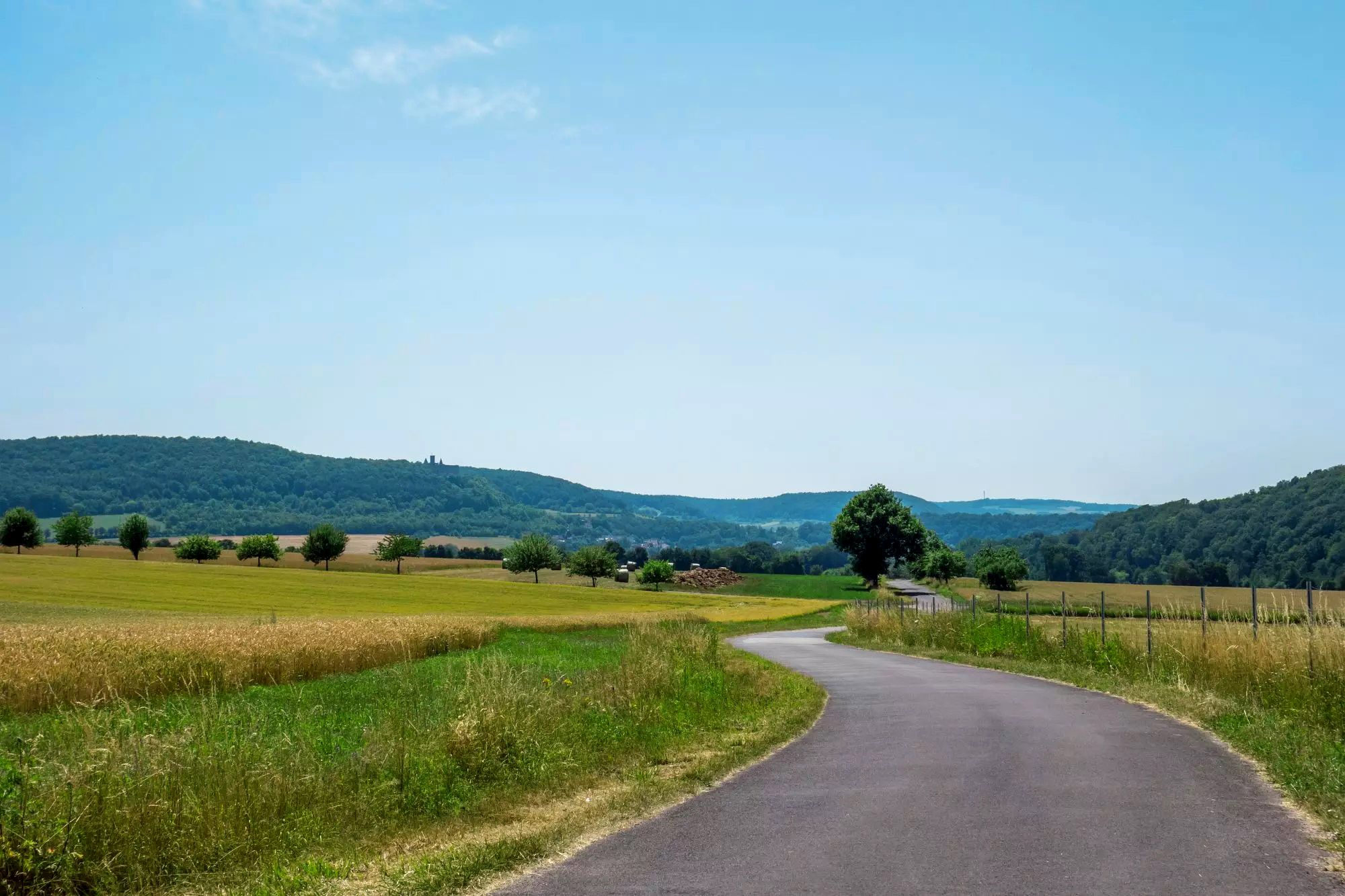
Rhön Cycleway in Germany – Cycling in the Land of Open Distances
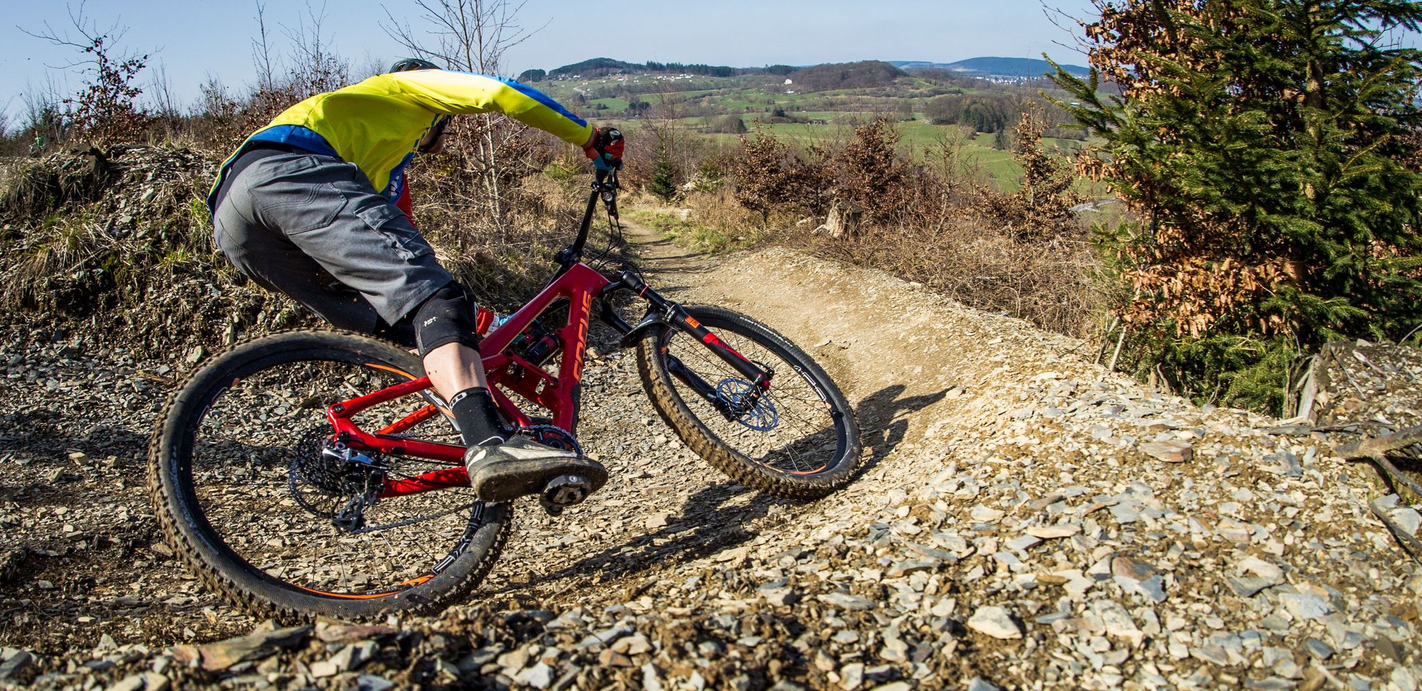
Flow Rider — trail fun for everyone
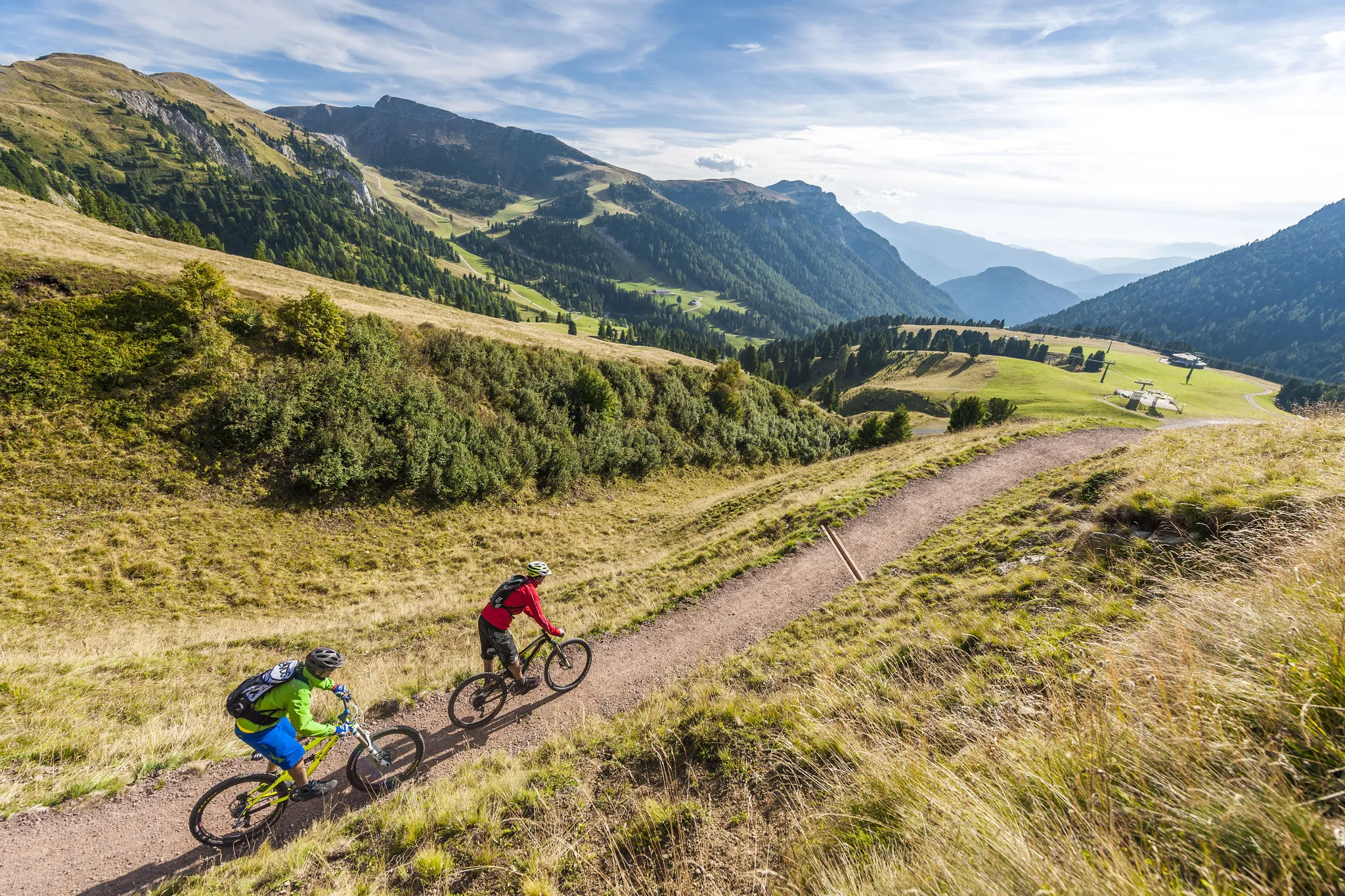
Supertrails — the long way down
Other adventures around Bischofsheim an der Rhön


Tips from the Community

On the mountain of the Franks, in the monastery there is everything for body and soul.
0
0

The Kreuzberg is the biggest visitor magnet in the Bavarian Rhön. All year round, the Franciscan monastery Kreuzberg with its monastery beer attracts holidaymakers from near and far to the Holy Mountain of the Franconians. After a strengthening meal in the monastery tavern, the ascent to the summit of the Kreuzberg can be managed, from where you get a magnificent view into the Southern Rhön, the Hessian Rhön and the Thuringian Forest. Quelle: https://www.biosphaerenreservat-rhoen.de/mensch/tourismus-gastronomie-und-erholung/schaetze-der-rhoen/der-kreuzberg
1
0

Great stone embankment, made by nature :)
0
0

Nice rest area with barefoot path 👌🏼
0
0

Many beautiful hiking trails lead to the Holy Mountain. Beautiful views of the Rhön Mountains can be found from the crosses.
1
0

Yep. Beautiful, but steep. As the end of the circular trail, it's quite demanding. So make sure you're in shape!
0
0
Strenuous, even though it's "only" 14 km. If you do the loop so that you end up at the monastery (which makes sense, since you can stop for a bite to eat there and it's only a few hundred meters to the parking lot), then you'll have to make up all the elevation gain you lost in the first few kilometers in the last 3 km. That requires a certain level of "final" fitness, even if the hike itself isn't difficult.
0
0

Frequently Asked Questions
How many bus station hiking trails are available around Bischofsheim an der Rhön?
There are over 190 bus-accessible hiking routes around Bischofsheim an der Rhön. This includes a wide variety of trails, from easy strolls to more challenging ascents, ensuring there's something for every hiker.
What is the best time of year for bus-accessible hikes in Bischofsheim an der Rhön?
The best seasons for hiking in Bischofsheim an der Rhön are spring and autumn. During these times, the landscape is particularly vibrant, with blooming flowers in spring and rich autumn colors. The weather is generally pleasant for outdoor activities.
What do other hikers say about the bus-accessible trails in Bischofsheim an der Rhön?
The bus-accessible trails in Bischofsheim an der Rhön are highly rated by the komoot community, with an average score of 4.6 stars from over 5,200 ratings. Hikers frequently praise the diverse landscapes, well-maintained paths, and the stunning panoramic views characteristic of the Rhön Mountains.
Are there easy or beginner-friendly bus-accessible hiking routes?
Yes, there are plenty of easy options. Approximately 95 of the bus-accessible routes are classified as easy, making them perfect for beginners, families, or those looking for a relaxed walk. An example is the Rothsee parking lot – Fisherman's Hut at Rothsee loop, which is an easy 6.1 km hike.
Can I find challenging bus-accessible hikes in the region?
Absolutely. For those seeking a more demanding experience, there are 17 difficult bus-accessible routes. These trails often feature significant elevation changes and cover longer distances, offering a rewarding challenge amidst the Rhön's rugged beauty.
Are there circular hiking routes starting from bus stations?
Yes, many bus-accessible routes are circular, allowing you to start and end your hike at the same point, often conveniently near a bus stop. An example is the Kreuzberg Monastery – View of Sandberg loop, which offers a moderate 9 km circular hike.
Are there bus-accessible hikes that feature waterfalls or gorges?
Yes, the region offers trails that lead to impressive natural water features. You can explore the Cascade Gorge near Sandberg, known for its adventurous route with water flowing over sandstone. Other highlights include the Eisgraben Waterfall and the Devil's Mill Waterfall.
What kind of natural landscapes can I expect to see on these bus-accessible trails?
The bus-accessible trails in Bischofsheim an der Rhön traverse the diverse Rhön Mountains, often called the "Land of Open Distances." You'll encounter varied terrain, from gentle hills to steep rock formations, expansive treeless heights offering panoramic views, and unique natural areas like the mystical Schwarzes Moor (Black Moor) and the accessible Rotes Moor (Red Moor) with its boardwalk trail.
Are there any routes that offer panoramic views?
Many trails in the Rhön region are renowned for their breathtaking panoramic views. The treeless heights of the "Land of Open Distances" provide expansive vistas. Routes leading towards Kreuzberg, Wasserkuppe, or Himmeldunk often feature magnificent viewpoints across the landscape.
Are there family-friendly bus-accessible hiking options?
Yes, the region offers several family-friendly options. Many easy routes are suitable for families, and the Rothsee parking lot – Fisherman's Hut at Rothsee loop is a good example of an easy, shorter trail. The Milseburgradweg, though primarily for cycling, also offers a unique, flat experience suitable for walking with children along a disused railway line.
Can I bring my dog on these bus-accessible hiking trails?
Generally, dogs are welcome on hiking trails in the Rhön. However, it's always advisable to keep them on a leash, especially in nature reserves, near livestock, or in areas with wildlife. Check local regulations for specific trails or protected areas.
Are there places to eat or rest along the bus-accessible hiking trails?
Yes, some routes offer opportunities for refreshments. For instance, trails leading to the historic Kreuzberg mountain often pass by the Kreuzberg monastery, where you can enjoy local beers from its brewery and hearty regional cuisine. Other routes might have traditional inns or cafes in nearby villages.
What is the typical length and duration of bus-accessible hikes?
The lengths and durations vary significantly. You can find shorter, easy routes like the Rothsee parking lot – Fisherman's Hut at Rothsee loop at 6.1 km (approx. 1h 45m). Moderate trails, such as the Gemündener Hut – Kreuzberg Monastery loop, can be around 9.2 km (approx. 2h 57m). Longer and more challenging options can extend for many kilometers and several hours.
Most popular routes around Bischofsheim an der Rhön
Most popular attractions around Bischofsheim an der Rhön

Get inspired with the komoot mobile app


Explore more
Browse the best Hikes in other regions.
