The best walks and hikes around Bischofsheim an der Rhön
4.6
(5779)
20,980
hikers
335
hikes
Hiking trails around Bischofsheim an der Rhön are situated within the UNESCO Biosphere Reserve Rhön, at the base of the Kreuzberg mountain. The region features diverse natural landscapes, including picturesque hill ranges, forests, and rivers, characterized by its "Land of Open Distances" topography. This area encompasses rhön-typical hedge landscapes, vast open spaces, high moors, and basalt rock formations, providing varied terrain for outdoor activities.
Best hiking trails around Bischofsheim an der Rhön
- The most popular hiking route is Extratour Kreuzbergtour…
Last updated: October 11, 2026
4.7
(863)
2,928
hikers
13.3km
04:01
450m
450m
Moderate hike. Good fitness required. Mostly accessible paths. Sure-footedness required.
4.7
(473)
1,679
hikers
Moderate hike. Good fitness required. Easily-accessible paths. Suitable for all skill levels.

4.7
(223)
717
hikers
Moderate hike. Good fitness required. Easily-accessible paths. Suitable for all skill levels.
4.7
(166)
496
hikers
Easy hike. Great for any fitness level. Easily-accessible paths. Suitable for all skill levels.
4.7
(190)
689
hikers
Moderate hike. Good fitness required. Easily-accessible paths. Suitable for all skill levels.
Get access to more routes and recommendations from other explorers.
Already have an account?
Our route recommendations are based on thousands of hikes, rides, and runs completed by other people on komoot.
Start today with a free account
Your next adventure awaits.
Popular around Bischofsheim an der Rhön

Stages of the HOCHRHÖNER Premium Hiking Trail

Extra tours South - Excellent premium hiking trails of the Rhön

Wonderful Green Band

Hike Germany’s Rhön Mountains on the Hochrhöner Trail
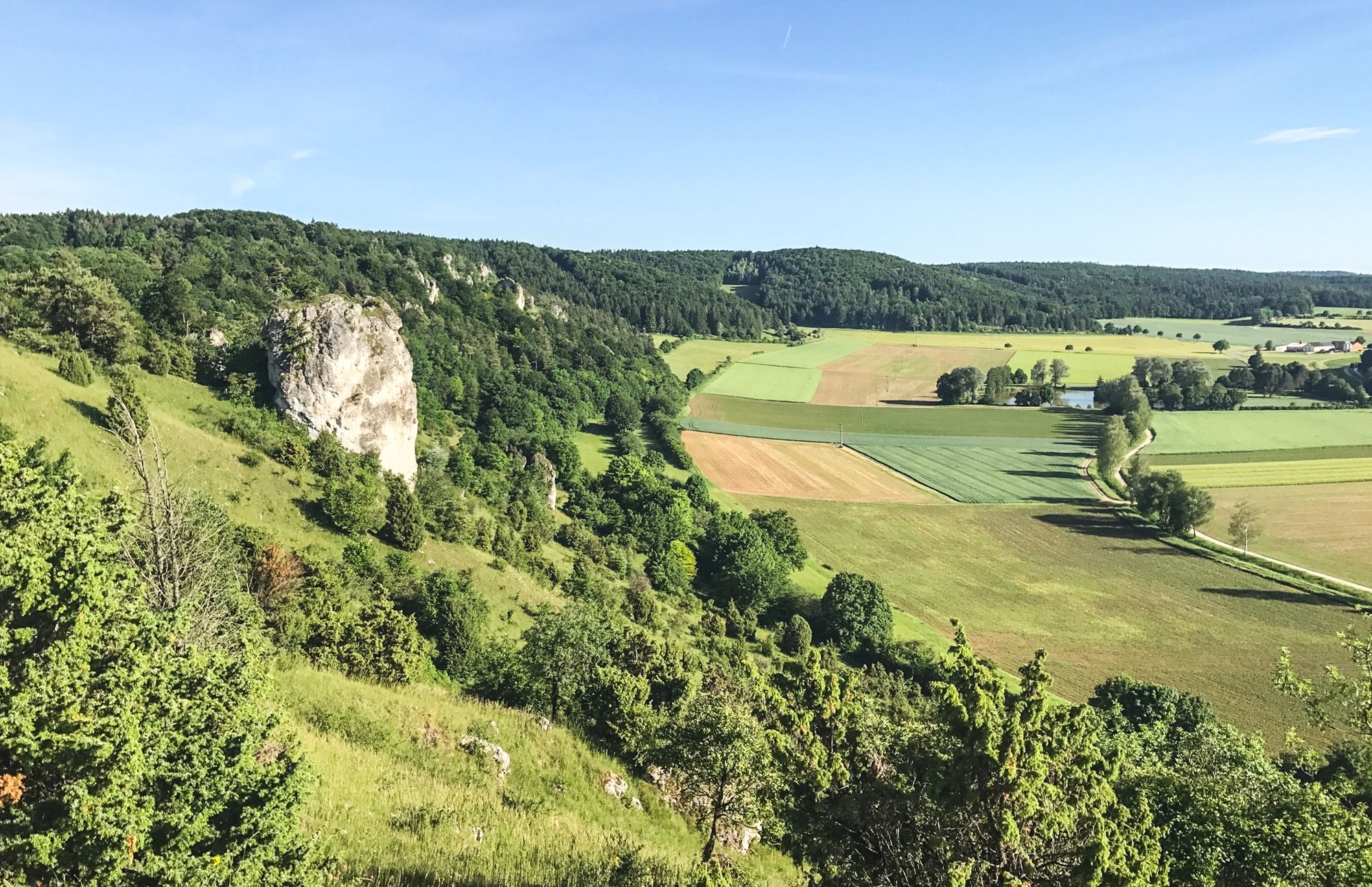
Between Altmühltal & Spruce Mountains – hiking in Franconia
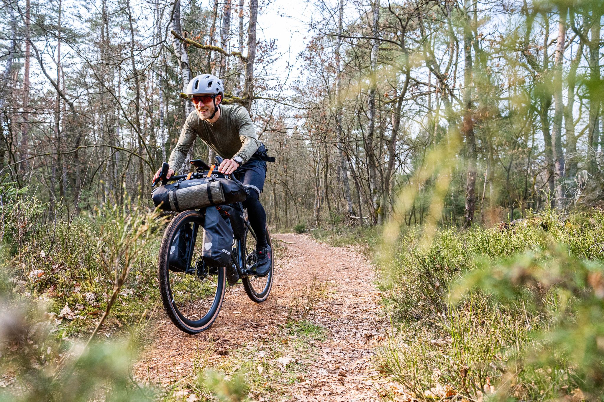
Gravel bikepacking from Hamburg to Munich
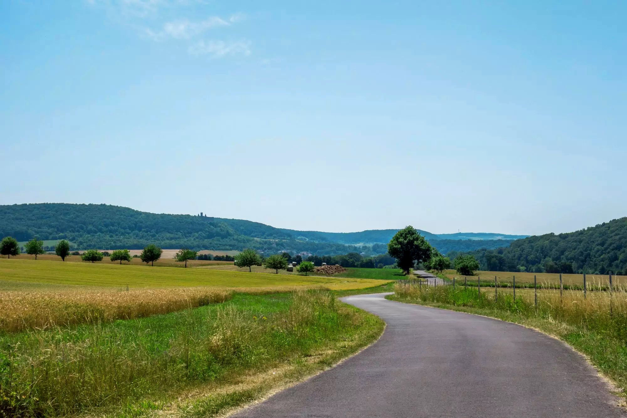
Rhön Cycleway in Germany – Cycling in the Land of Open Distances
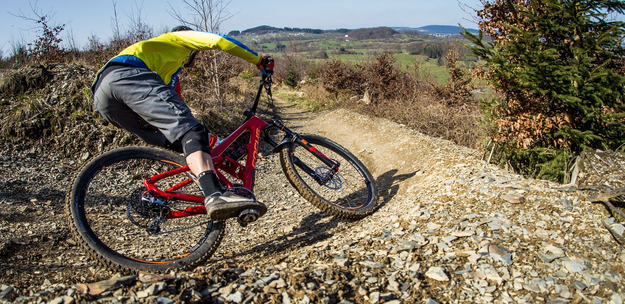
Flow Rider — trail fun for everyone
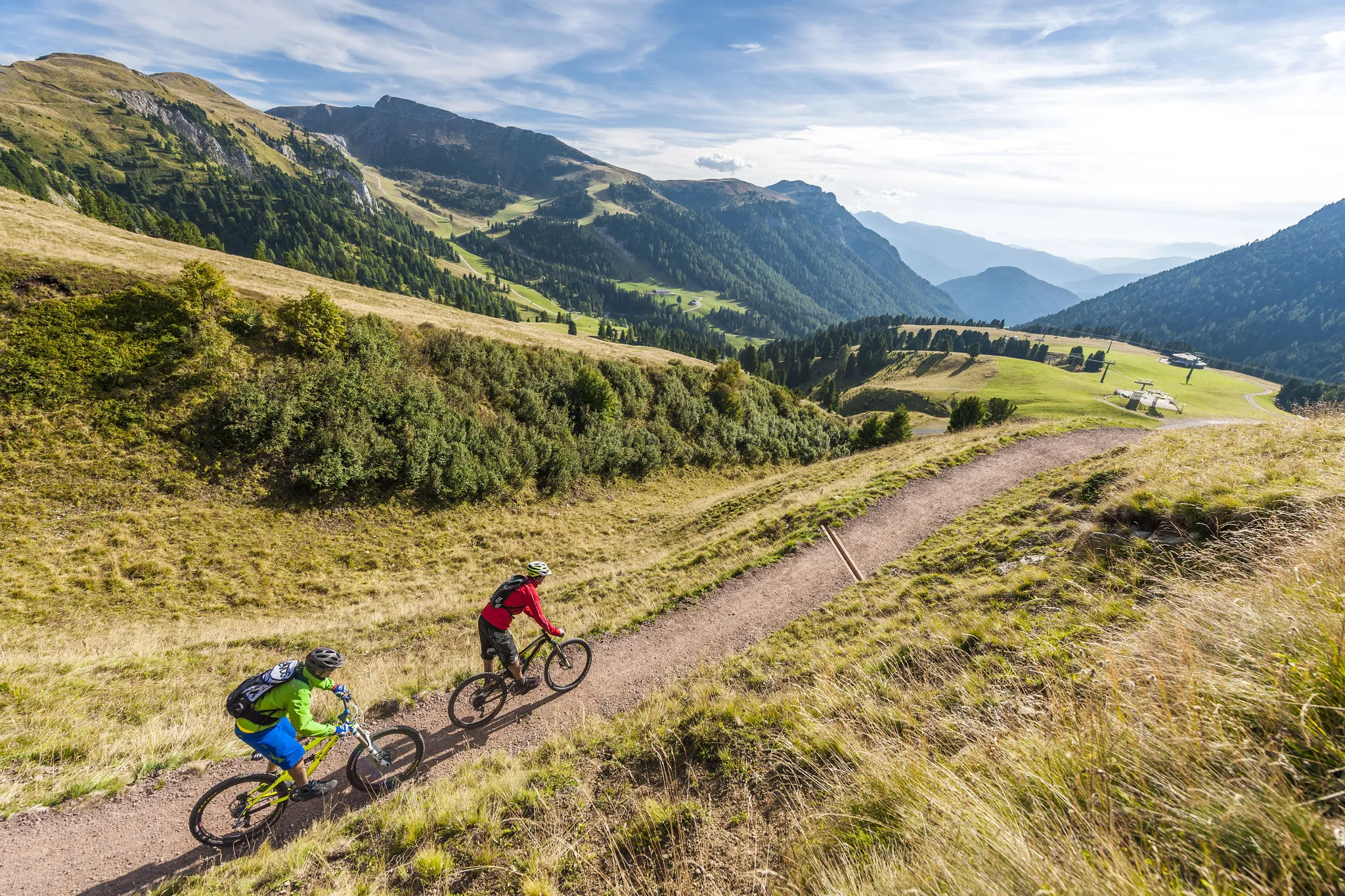
Supertrails — the long way down
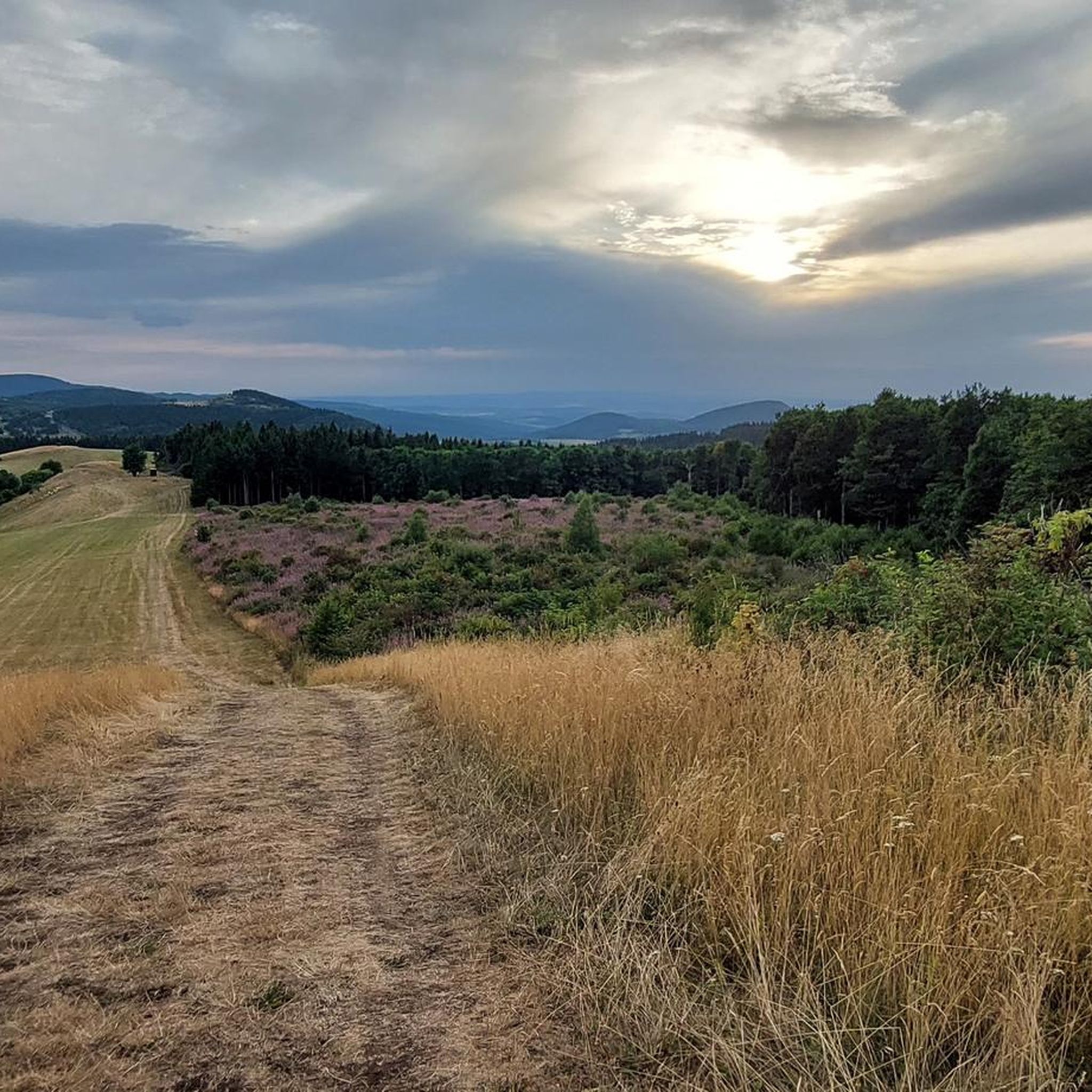
MTB Trails around Bischofsheim an der Rhön
Other adventures around Bischofsheim an der Rhön


Tips from the Community

The Kreuzberg is considered the "Holy Mountain of the Franconians". The highest elevation in the Bavarian Rhön at 928 meters is known not only as a pilgrimage site but also for the world-famous Kreuzberg beer, which is produced in the monastery brewery located on the mountain and can be enjoyed in the cozy monastery tavern with all sorts of regional delicacies.
0
0

did nature itself shape and set this up?
0
0

Beautiful panoramic view of Bischofsheim and the Wasserkuppe. A spur path leads to this viewpoint with seating.
1
0

On the mountain of the Franks, in the monastery there is everything for body and soul.
0
0
The Arnsberg is located northwest of the Kreuzberg in the Bavarian Rhön. It is a striking and widely visible mountain, 842 m high, which belongs to the natural area of the Hohe Rhön. To the northwest, there is a steep slope that is sparsely vegetated. The last stretch to the summit forms a small, steep knoll. At the top, you will find a pile of piled-up basalt boulders and one of the most beautiful viewing benches in the Rhön with a magnificent view of the Kreuzberg and the Himmeldunk. On the calcareous grasslands of the Arnsberg, numerous protected silver thistles can be found in autumn. The steep slope is popular with paragliders and model aircraft flyers. Source: https://www.touren-rhoen.de/de/poi/berggipfel/arnsberg/37406535/
1
0
View halfway to the Osterburg on the beautiful town of Bischofsheim.
1
0
The Kreuzberg is the biggest visitor magnet in the Bavarian Rhön. All year round, the Franciscan monastery Kreuzberg with its monastery beer attracts holidaymakers from near and far to the Holy Mountain of the Franconians. After a strengthening meal in the monastery tavern, the ascent to the summit of the Kreuzberg can be managed, from where you get a magnificent view into the Southern Rhön, the Hessian Rhön and the Thuringian Forest. Quelle: https://www.biosphaerenreservat-rhoen.de/mensch/tourismus-gastronomie-und-erholung/schaetze-der-rhoen/der-kreuzberg
1
0

Great stone embankment, made by nature :)
0
0
Frequently Asked Questions
How many hiking trails are available around Bischofsheim an der Rhön?
Bischofsheim an der Rhön offers an extensive network of over 340 hiking trails. These routes cater to various difficulty levels, from easy walks to more challenging ascents, all within the UNESCO Biosphere Reserve Rhön.
What kind of landscapes can I expect to see while hiking in the Rhön?
The Rhön, often called the 'Land of Open Distances,' features diverse natural landscapes. You'll encounter picturesque hill ranges, dense forests, and rivers. The region is characterized by rhön-typical hedge landscapes, vast open spaces, high moors like the Rotes Moor with its boardwalk trail, and unique basalt rock formations.
Are there easy hiking trails suitable for beginners or families?
Yes, there are numerous easy trails perfect for beginners or families. For example, the Rothsee parking lot – Fisherman's Hut at Rothsee loop is an easy 6.2 km (3.8 miles) route that takes about 2 hours to complete, offering a pleasant walk around the Rothsee.
Can I find challenging or advanced hiking routes in this area?
Absolutely. The region offers 27 difficult routes for experienced hikers. Many of these are part of the renowned 'Hochrhöner' premium hiking trail and its 'Extratouren,' traversing demanding sections over peaks like the Kreuzberg, Arnsberg, and Himmeldunkberg.
Are there any notable natural attractions or landmarks to visit during a hike?
Yes, the area is rich in natural attractions and landmarks. You can explore the unique moorland ecosystem at the Rotes Moor, or visit the picturesque Guckaisee for swimming. Nearby, you'll find charming waterfalls such as the Eisgraben Waterfall and the Devil's Mill Waterfall. The Golgotha group (Three Crosses) on the Kreuzberg is also a significant landmark.
Are the hiking trails around Bischofsheim an der Rhön dog-friendly?
Many trails in the Rhön Biosphere Reserve are dog-friendly, allowing you to enjoy the natural beauty with your canine companion. It's always recommended to keep dogs on a leash, especially in nature reserves, and to check specific trail regulations beforehand.
Are there good options for circular hikes?
Yes, circular hikes are a popular option in Bischofsheim an der Rhön. A great example is the View of Bischofsheim – View of Arnsberg loop, a 15.5 km (9.6 miles) trail that offers varied terrain and takes about 4 hours 45 minutes to complete.
What is the best time of year to go hiking in Bischofsheim an der Rhön?
The Rhön is beautiful year-round, but spring to autumn (April to October) generally offers the most pleasant hiking conditions with mild temperatures and vibrant landscapes. During these months, all trails are typically accessible, and the weather is ideal for enjoying the open distances and panoramic views.
Is it possible to hike in the Rhön during winter?
Yes, the Rhön transforms into a winter wonderland. While some trails might be challenging, the region offers opportunities for winter hiking, cross-country skiing, and tobogganing. Always check weather conditions and trail accessibility before heading out in winter.
Where can I find parking for hiking trails in Bischofsheim an der Rhön?
Bischofsheim an der Rhön is well-equipped for hikers, and many trailheads offer designated parking areas. For instance, routes like the Rothsee parking lot loop start directly from a parking facility, making access convenient.
How accessible are the hiking trails by public transport?
Bischofsheim an der Rhön has public transport connections, and some trailheads are accessible via bus services. For detailed information on routes and schedules, it's advisable to consult local public transport websites or the tourist information center in Bischofsheim.
What do other hikers say about the trails in Bischofsheim an der Rhön?
The hiking trails in Bischofsheim an der Rhön are highly rated by the komoot community, with an average score of 4.6 stars from over 5,300 reviews. Hikers often praise the well-maintained paths, the diverse landscapes, and the stunning panoramic views, especially from prominent points like the Kreuzberg.
Are there any places to stop for refreshments along the trails?
Yes, the region offers several opportunities for refreshments. The historic Kreuzberg monastery, for example, is a popular stop, known for brewing its famous Kreuzberg beer since 1731. Many routes also pass through or near charming villages with cafes and pubs.
What makes the Kreuzberg mountain special for hikers?
The Kreuzberg, known as the 'Holy Mountain of Franconia,' is a central feature for hikers. It offers spectacular panoramic views of the surrounding Rhön landscape, extending to the Thuringian Forest and Spessart. It's also home to the historic monastery, providing a unique cultural and culinary experience.
Are there any specific trails that offer panoramic views?
Many trails in the region boast incredible panoramic views. The Extratour Kreuzbergtour - Bischofsheim - Rhön, for instance, offers excellent views of the Kreuzberg and the expansive Rhön landscape. The Kreuzberg summit itself is renowned for its far-reaching vistas.
Most popular routes around Bischofsheim an der Rhön
Most popular attractions around Bischofsheim an der Rhön

Get inspired with the komoot mobile app


Explore more
Browse the best Hikes in other regions.
