The best hikes from bus stations around Bad Brückenau
4.5
(1541)
6,140
hikers
90
hikes
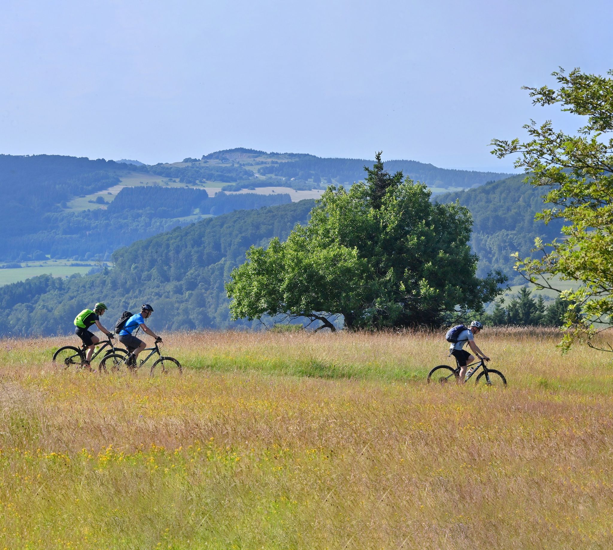
Bus station hiking trails around Bad Brückenau are situated within the Bavarian Rhön Nature Park and the UNESCO Rhön Biosphere Reserve, offering a diverse natural landscape. The region features dense forests, rolling hills, and the picturesque Sinntal (Sinn Valley) with the Sinn River. Hikers can expect trails that traverse lush meadows, forested mountains, and areas with volcanic basalt kuppen, providing varied terrain and scenic views.
Best bus station hiking trails around Bad Brückenau
- The most popular bus station hiking route…
Last updated: July 11, 2026
4.5
(122)
567
hikers
Easy hike. Great for any fitness level. Easily-accessible paths. Suitable for all skill levels.
4.5
(73)
294
hikers
7.04km
02:13
170m
170m
Moderate hike. Good fitness required. Mostly accessible paths. Sure-footedness required.

Sign up for free
4.7
(54)
208
hikers
Moderate hike. Good fitness required. Mostly accessible paths. Sure-footedness required.
4.7
(11)
54
hikers
Moderate hike. Good fitness required. Easily-accessible paths. Suitable for all skill levels.
4.8
(23)
85
hikers
11.7km
03:28
320m
320m
Moderate hike. Good fitness required. Easily-accessible paths. Suitable for all skill levels.
Get access to more routes and recommendations from other explorers.
Sign up for free
Already have an account?
Our route recommendations are based on thousands of hikes, rides, and runs completed by other people on komoot.
Start today with a free account
Your next adventure awaits.
Login or Signup


Other adventures around Bad Brückenau


Tips from the Community

Very nice path through mighty trees.
0
0

The approximately 70 km long Sinn is the largest tributary of the Fränkische Saale in the German states of Bavaria and Hesse. It rises in the Rhön and flows predominantly southwards. Its confluence with the Fränkische Saale is shortly before its confluence with the Main. Source: Wikipedia
1
0
The Sinn, approximately 70 km long, is the largest tributary of the Fränkische Saale in the German states of Bavaria and Hesse. It originates in the Rhön and flows predominantly southwards. Its confluence with the Fränkische Saale is shortly before its confluence with the Main. Source: Wikipedia
1
0

This pergola has grown beautifully.
6
0

These monstrous stones are a phenomenal sight.
0
0

Very friendly service and super delicious food. I highly recommend the cordon bleu. So, it's a great place for a bite to eat.
0
0

Beautiful view of the Rhön and surrounding area.
0
0
Short steep climb, especially at the beginning.
0
0
Frequently Asked Questions
How many bus-accessible hiking trails are there around Bad Brückenau?
There are nearly 90 hiking trails around Bad Brückenau that are easily accessible by bus, offering a wide range of experiences for all skill levels. You'll find everything from gentle strolls along the Sinn River to more challenging routes through the Rhön hills.
Are there easy, family-friendly hikes accessible by bus in Bad Brückenau?
Yes, Bad Brückenau offers several easy and family-friendly routes accessible by bus. A great option is the Beaver Water World on the Sinn – Beaver Platform Sinnaue loop from Staatsbad Brückenau. This easy path follows the Sinn River, offering chances to observe natural river environments and beaver platforms, perfect for a relaxed outing with children.
What kind of landscapes can I expect on bus-accessible hikes in Bad Brückenau?
The bus-accessible hikes around Bad Brückenau showcase the diverse beauty of the Bavarian Rhön Nature Park. You can expect trails winding through dense forests, over gentle rolling hills, and along the picturesque Sinntal (Sinn Valley). The region is also known for its unique volcanic basalt kuppen and lush meadows, providing varied and engaging scenery.
Are there any circular hiking routes that start from a bus station?
Absolutely. Many routes are designed as circular walks, allowing you to return to your starting point without needing additional transport. For instance, the Elisabethenhof, Bad Brückenau – Bad Brückenau Spa Park loop from Staatsbad Brückenau is a moderate circular route that takes you through varied terrain and past the historic Spa Park.
What are some interesting natural features or landmarks I can see on these trails?
The trails offer many natural and historical points of interest. You might encounter the unique basalt lake Tintenfass, explore the beautiful Sinntal with its beaver platforms, or enjoy panoramic views from various points. The Platzer Kuppe summit and the Mottener Haube Observation Tower are notable viewpoints in the broader region, accessible via connecting trails.
What do other hikers enjoy most about hiking in Bad Brückenau?
The komoot community highly rates the hiking experiences around Bad Brückenau, with an average score of 4.6 stars. Hikers often praise the tranquil atmosphere of the extensive woodlands, the well-maintained paths, and the scenic beauty of the Sinn Valley. The accessibility of trails via public transport is also frequently highlighted as a major benefit.
Are there any moderate difficulty hikes accessible by bus?
Yes, there are plenty of moderate hikes available. The Ruheforst Rhön – Beaver Platform Sinnaue loop from Züntersbach is a great example, offering a slightly longer and more varied terrain experience than the easier routes, while still being easily reachable by bus.
Can I find trails that lead to historical sites or cultural attractions?
Many trails incorporate historical and cultural elements. The Elisabethenhof, Bad Brückenau – Bad Brückenau Spa Park loop from Staatsbad Brückenau, for instance, takes you past the historic Bad Brückenau Spa Park, a natural monument with buildings once favored by King Ludwig I. You might also find trails passing by old mills or other local heritage sites.
What is the typical duration for these bus-accessible hikes?
The duration of bus-accessible hikes varies significantly. Easy routes like the Beaver Water World on the Sinn loop can be completed in just over an hour, while moderate trails such as the Ruins of Disbachsmühle – Sinntal Bridge loop from Römershag might take around 2.5 to 3 hours, allowing for a half-day adventure.
Are there any longer, more challenging bus-accessible routes for experienced hikers?
While many routes are easy to moderate, the region is part of the larger Rhön area, which includes sections of the 190-kilometer Der Hochrhöner Premium Hiking Trail. Some bus-accessible routes can connect to parts of this longer trail, offering more challenging sections and extended hiking opportunities for experienced individuals looking to explore the full diversity of the Rhön landscape.
Most popular routes around Bad Brückenau
Most popular attractions around Bad Brückenau

Get inspired with the komoot mobile app


Explore more
Browse the best Hikes in other regions.
