Easy hikes and walks around Bad Brückenau
4.5
(1610)
6,292
hikers
162
hikes
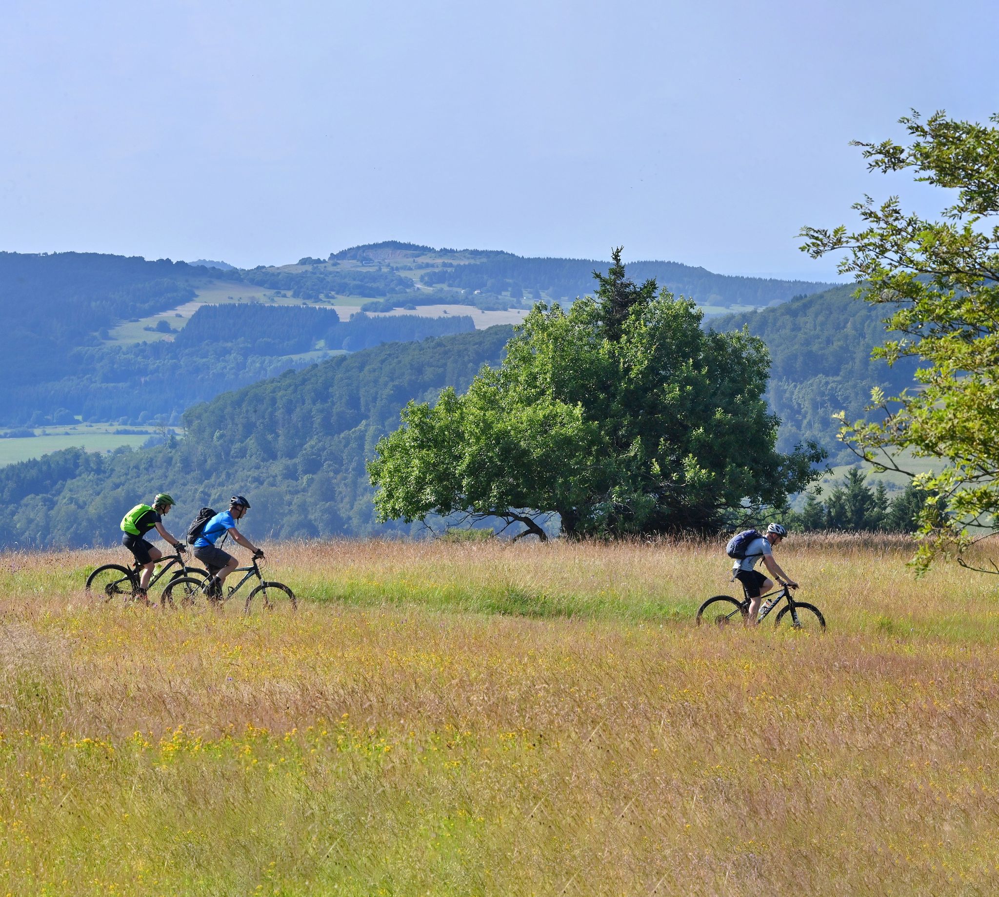
Easy hiking trails around Bad Brückenau are situated within the Rhön Biosphere Reserve, characterized by a diverse landscape of lush meadows, extensive forests, and volcanic mountains. The region features the Sinn River valley, offering natural river landscapes and varied terrain. Elevations are generally moderate, with hills providing panoramic views across the area. The area is part of the UNESCO Rhön Biosphere Reserve, known for its well-preserved natural environment.
Best easy hiking trails around Bad Brückenau
- The most popular easy hiking…
Last updated: October 9, 2026
4.5
(123)
579
hikers
Easy hike. Great for any fitness level. Easily-accessible paths. Suitable for all skill levels.
3.9
(45)
235
hikers
Easy hike. Great for any fitness level. Easily-accessible paths. Suitable for all skill levels.

4.6
(19)
89
hikers
5.86km
01:39
130m
130m
Easy hike. Great for any fitness level. Easily-accessible paths. Suitable for all skill levels.
4.5
(20)
100
hikers
4.64km
01:21
120m
120m
Easy hike. Great for any fitness level. Easily-accessible paths. Suitable for all skill levels.
4.6
(7)
44
hikers
6.64km
01:48
90m
90m
Easy hike. Great for any fitness level. Easily-accessible paths. Suitable for all skill levels.
Get access to more routes and recommendations from other explorers.
Already have an account?
Our route recommendations are based on thousands of hikes, rides, and runs completed by other people on komoot.
Start today with a free account
Your next adventure awaits.


Other adventures around Bad Brückenau


Tips from the Community

The approximately 70 km long Sinn is the largest tributary of the Fränkische Saale in the German states of Bavaria and Hesse. It rises in the Rhön and flows predominantly southwards. Its confluence with the Fränkische Saale is shortly before its confluence with the Main. Source: Wikipedia
1
0
The Sinn, approximately 70 km long, is the largest tributary of the Fränkische Saale in the German states of Bavaria and Hesse. It originates in the Rhön and flows predominantly southwards. Its confluence with the Fränkische Saale is shortly before its confluence with the Main. Source: Wikipedia
1
0
The approximately 70 km long Sinn is the largest tributary of the Fränkische Saale in the German states of Bavaria and Hesse. It originates in the Rhön and flows predominantly south. Its confluence with the Fränkische Saale is shortly before its confluence with the Main. Source: Wikipedia
1
0
Wernarz was mentioned in 1454 as a settlement of a man named Wernher. In 1939, the until then independent municipality of Wernarz was incorporated into Brückenau. Source: Wikipedia
2
0

High above the village of Volkers stands the former Volkersberg Monastery. A pilgrimage site existed here as early as 1378. A Franciscan monastery was founded to care for the pilgrims; it existed from 1658 to 1966. Today, it houses an educational center of the Diocese of Würzburg. The pilgrimage church of the Holy Cross was built starting in 1664 and had already been endowed with a relic of the True Cross in 1659. Its furnishings, including three altars, are Baroque. The former monastery church is now the parish church of Volkers.
6
0
This pergola has grown beautifully.
6
0

Interesting Calvaries and Stations of the Cross.
0
0

Frequently Asked Questions
How many easy hiking trails are there in Bad Brückenau?
Bad Brückenau offers a wide selection of easy hiking trails. There are over 60 easy routes available, making it an ideal destination for relaxed walks and gentle explorations within the Rhön Biosphere Reserve.
What kind of landscape can I expect on easy hikes around Bad Brückenau?
Easy hikes around Bad Brückenau traverse the diverse landscapes of the Rhön Biosphere Reserve. You can expect lush meadows, extensive forests, and gentle volcanic hills offering panoramic views. Many trails also follow the natural river landscape of the Sinn Valley, providing a tranquil experience.
Are there easy circular hiking routes in Bad Brückenau?
Yes, Bad Brückenau features several easy circular hiking routes. For example, the Kursaal Building, Bad Brückenau – State Spa Bad Brückenau loop is a popular 4.3 km trail starting from the historic Staatsbad Brückenau. Another option is the Elisabethenhof, Bad Brückenau – Beaver Water World on the Sinn loop, which follows the Sinn River for 6.9 km.
What do other hikers enjoy most about hiking in Bad Brückenau?
The easy hiking trails in Bad Brückenau are highly rated by the komoot community, with an average score of 4.6 stars from over 1,400 reviews. Hikers often praise the well-maintained paths, the serene natural beauty of the Rhön Biosphere Reserve, and the varied scenery that includes forests, meadows, and river views.
Are there family-friendly easy walks in Bad Brückenau?
Absolutely. The region is well-suited for families. Beyond the easy trails, you can find attractions like the Sinntal Adventure Forest, which offers a tree-top trail and a barefoot path, or the Klaushof Wildlife Park to see native animals up close. Many easy routes are suitable for all ages.
Can I bring my dog on easy hiking trails in Bad Brückenau?
Yes, many easy hiking trails in Bad Brückenau are dog-friendly. The natural environment of the Rhön Biosphere Reserve provides ample space for you and your dog to enjoy. Always remember to keep your dog on a leash where required, especially in nature protection areas, and to clean up after them.
Are there easy trails with scenic views in Bad Brückenau?
Yes, the volcanic formations and varied terrain around Bad Brückenau offer numerous easy trails with scenic views. The View of Bad Brückenau – View of Brückenau loop is a great example, providing lovely vistas of the town and surrounding landscape. The largely woodless volcanic mountains in the Rhön also provide magnificent panoramic views.
What interesting sights or attractions can I find near the easy hiking trails?
While hiking, you can explore several interesting sights. The historic Staatsbad Bad Brückenau itself, with its baroque park and old trees, is a beautiful starting point. You might also encounter historic mills along the Sinn River. For specific attractions, consider visiting Ramholz Castle or the Ruins of Steckelberg Castle, which are nearby.
Are there cafes or refreshment stops along the easy hiking routes?
Yes, many hiking trails in the Bad Brückenau region pass through charming villages or near establishments where you can find refreshment. The Witch's Cottage Café – Cappucciner Pavilion loop, for instance, suggests a route that includes a cafe. The Würzburger Karl-Straub-Haus also serves as an ideal stop for hikers.
What is the best season for easy hikes in Bad Brückenau?
Bad Brückenau is beautiful year-round for easy hikes. Spring brings blooming meadows, summer offers lush green forests, and autumn transforms the landscape with vibrant colors. Even in winter, with appropriate gear, you can enjoy the tranquil, snow-covered scenery. The region's natural beauty changes with each season.
Are there any easy trails accessible by public transport in Bad Brückenau?
Bad Brückenau is well-connected, and many trails are accessible from the town center or the Staatsbad, which can be reached by local public transport. It's advisable to check local bus schedules for specific starting points further afield, but several routes begin directly from easily accessible locations.
Where can I find parking for easy hiking trails in Bad Brückenau?
Parking is generally available at key starting points for hiking trails, particularly around the Staatsbad Bad Brückenau and in the town center. Many routes are designed to be accessible, and you'll find designated parking areas for hikers. Always look for local signage for specific parking instructions.
Most popular routes around Bad Brückenau
Most popular attractions around Bad Brückenau

Get inspired with the komoot mobile app


Explore more
Browse the best Hikes in other regions.
