The best hikes from bus stations around Gehlberg
4.7
(4031)
14,055
hikers
83
hikes
Hiking around Gehlberg offers access to a diverse landscape within the Thuringian Forest, characterized by high peaks, dense spruce forests, and romantic valleys with mountain streams. The region is situated at altitudes between 545 and 983 meters, featuring significant elevations such as Großer Beerberg (983 m) and Schneekopf (978 m). This terrain provides a network of well-signposted trails, ranging from gentle paths through moist meadows to steep inclines leading to panoramic viewpoints.
Best bus station hiking trails around Gehlberg
- The…
Last updated: June 27, 2026
4.8
(356)
1,145
hikers
Moderate hike. Good fitness required. Mostly accessible paths. Sure-footedness required.
4.8
(231)
763
hikers
Easy hike. Great for any fitness level. Easily-accessible paths. Suitable for all skill levels.

Sign up for free
4.8
(380)
1,308
hikers
Hard hike. Very good fitness required. Mostly accessible paths. Sure-footedness required.
4.8
(248)
767
hikers
Easy hike. Great for any fitness level. Easily-accessible paths. Suitable for all skill levels.
4.8
(90)
304
hikers
Hard hike. Very good fitness required. Mostly accessible paths. Sure-footedness required.
Get access to more routes and recommendations from other explorers.
Sign up for free
Already have an account?
Our route recommendations are based on thousands of hikes, rides, and runs completed by other people on komoot.
Start today with a free account
Your next adventure awaits.
Login or Signup




Tips from the Community

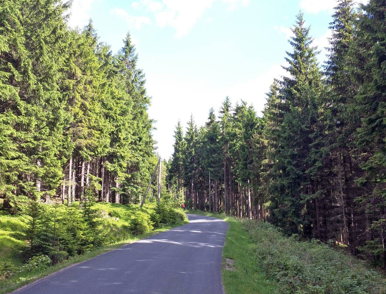
Very nice forest path on the way to Schneekopf
0
0

Delicious food and a beautiful view
1
0


Beautiful view from here whatever the weather.
0
0

The Kickelhahnblick is a lookout point near the Kickelhahn, an 861-meter-high mountain in the Thuringian Forest. From there, you have impressive views of the surrounding landscape, especially Ilmenau and the region's forested hills. The Kickelhahn itself is known for its historic observation tower and the Goethehäuschen (Goethe House), where Johann Wolfgang von Goethe once wrote his famous poem "Wanderer's Night Song."
1
0

Historical boundary stone and information board about the boundary stones on the Rennsteig and Rosenkopf at 938 m.
8
0
Beautiful hiking trail over many roots, which leads directly to the Teufelskanzel or in the other direction to the Schneekopf.
7
0
Frequently Asked Questions
How many bus station hiking trails are available around Gehlberg?
There are over 80 hiking trails accessible from bus stations around Gehlberg, offering a wide range of options for different fitness levels and interests. You'll find everything from easy strolls to more challenging long-distance routes.
What is the best time of year to hike from Gehlberg's bus stations?
Gehlberg offers excellent hiking opportunities throughout the year. Spring and autumn provide pleasant temperatures and beautiful scenery with blooming flowers or vibrant fall foliage. Summer is ideal for enjoying the lush forests and clear mountain streams. In winter, the region transforms into a snowy paradise, perfect for winter hiking on dedicated paths, though some trails may require appropriate gear.
What kind of terrain can I expect on bus-accessible hikes in Gehlberg?
The terrain around Gehlberg is diverse, ranging from well-maintained forest paths to steeper inclines, especially as you approach the higher peaks like Schneekopf and Großer Beerberg. You'll traverse dark spruce forests, moist meadows, and romantic valleys with mountain streams. Some routes, like the Fichtenkopf (944 m) – View of Schmiedefeld loop from Gehlberg, involve significant elevation changes.
Are there easy hiking trails accessible from Gehlberg's bus stops?
Yes, there are many easy hiking trails accessible from Gehlberg's bus stops. Approximately 25 routes are rated as easy, perfect for a relaxed outing. An example is the Teufelskanzel (Devil's Pulpit) Viewpoint – Gera Valley Viewpoint loop from Kernzone Schneekopfmoor, which offers scenic views without demanding climbs.
Are there family-friendly hiking routes from Gehlberg's bus stops?
Absolutely. Many trails are suitable for families, especially those with interactive elements. The Waldaktivpfad zum Schneekopf, for instance, offers engaging activities about local flora and fauna. While not directly listed in the routes, the View of Oberhof – Teufelskanzel (Devil's Pulpit) Viewpoint loop from Gehlberg is an easy option that could be enjoyable for families.
Can I find circular hiking routes that start and end at a bus station in Gehlberg?
Yes, many of the trails around Gehlberg are designed as circular routes, allowing you to start and end your hike conveniently at the same bus stop. For example, the View of Oberhof loop from Naturpark Thüringer Wald is a moderate circular hike that offers beautiful vistas.
What scenic viewpoints or natural features can I discover on these bus-accessible trails?
The region is rich in natural beauty. You can reach the observation tower on Schneekopf (978 m), offering panoramic views. The Großer Beerberg (983 m) is the highest peak in Thuringia. Trails also lead to viewpoints like the Teufelskanzel (Devil's Pulpit). You'll encounter dark spruce forests, clear mountain streams, and lush meadows throughout your hikes.
Are there any waterfalls or gorges along the bus-accessible hiking trails?
Yes, the Gehlberg area features several impressive gorges and natural water features. You can explore the Finsteres Loch Gorge and discover the Finsteres Loch Wooden Bridge and Waterfall, which is also a Touringen Stamp Station.
Are dogs allowed on the hiking trails accessible by bus in Gehlberg?
Generally, dogs are welcome on hiking trails in the Thuringian Forest, including those around Gehlberg. However, it's always advisable to keep them on a leash, especially in nature reserves or near wildlife, and to respect local signage. Please ensure you carry water for your dog and clean up after them.
Can I find a place to eat or drink along the bus-accessible hiking routes?
Yes, there are options for refreshments. The Neue Gehlberger Hütte on Schneekopf offers a cozy hiking hostel and traditional Thuringian cuisine, making it a great stop on routes that pass through the area. You may also find other inns or cafes in Gehlberg itself or nearby villages accessible by bus.
What do other hikers enjoy most about the trails around Gehlberg?
The hiking trails around Gehlberg are highly rated by the komoot community, with an average score of 4.7 out of 5 stars from over 3,800 ratings. Reviewers often praise the stunning natural landscapes, the extensive and well-signposted trail network, and the breathtaking views from peaks like Schneekopf. The variety of routes, from easy to challenging, is also frequently highlighted.
Are there any unique cultural or historical points of interest near the bus station trails?
Yes, Gehlberg has a rich history reflected in its attractions. The Thuringian Museum Park Gehlberg in the village center houses a Glass Museum and a Poacher's Museum (Wilderermuseum). Some themed trails, like the Alter Schmücker Weg and the Wildererpfad, also feature informational panels detailing local history and legends, offering insights into the region's past.
Most popular routes around Gehlberg
Most popular attractions around Gehlberg

Get inspired with the komoot mobile app


Explore more
Browse the best Hikes in other regions.
