The best gravel rides around Gehlberg
4.7
(126)
709
riders
101
rides
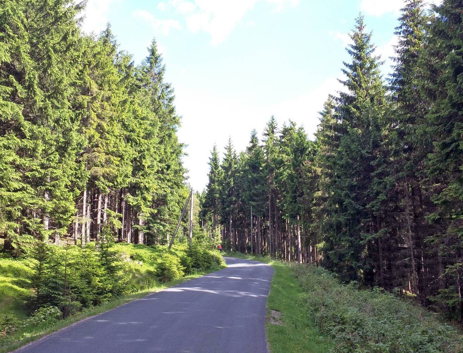
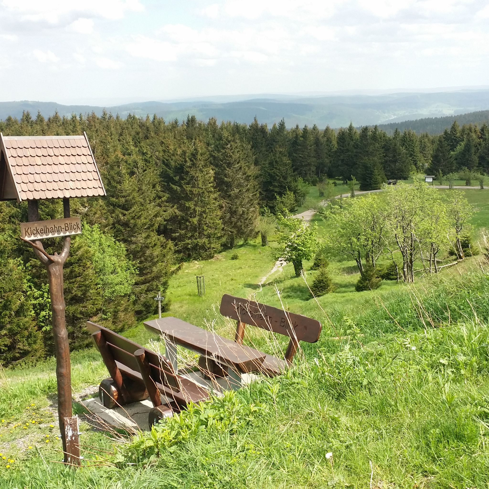
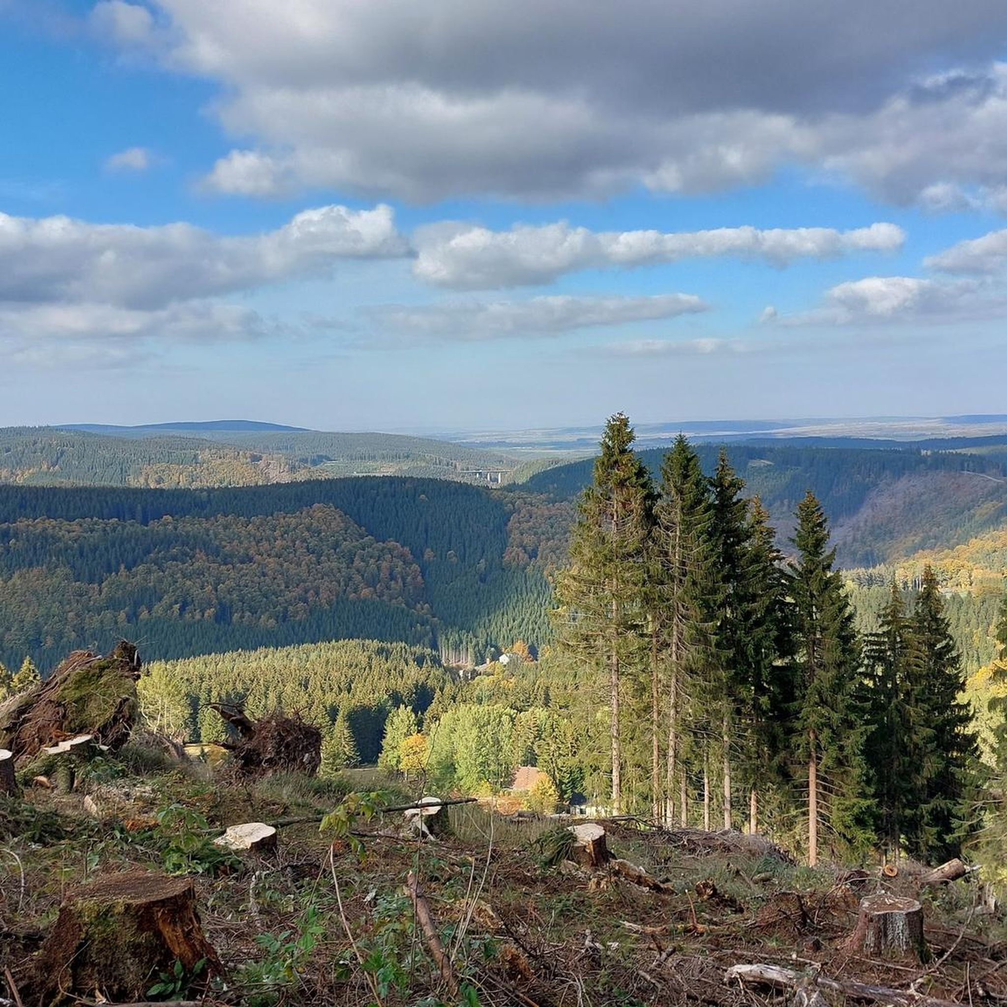
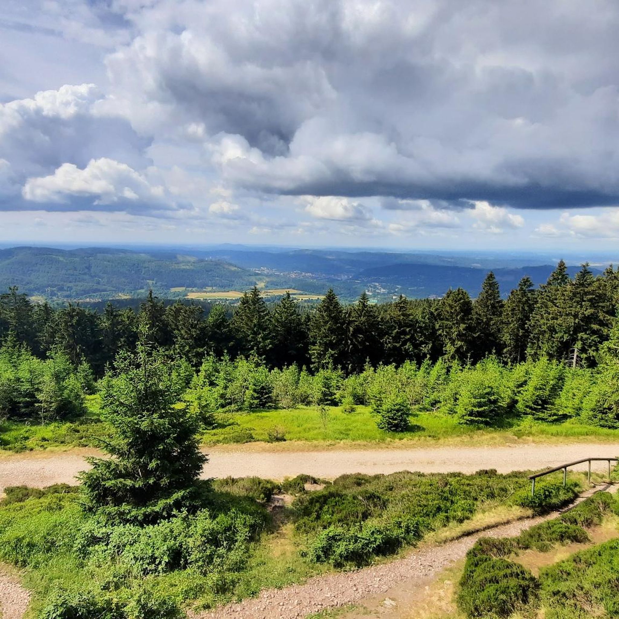
Gravel biking around Gehlberg offers varied terrain within the Thuringian Forest, characterized by dense woodlands, rolling hills, and elevated ridges. The region features a network of firm forest roads and natural paths suitable for gravel bikes, often following historical routes and leading to scenic viewpoints. Elevations vary, providing both challenging climbs and more gradual sections through the UNESCO Biosphere Reserve. This area is known for its natural landscapes and well-maintained forest trails.
Best gravel bike trails around Gehlberg
- The most popular gravel bike trail is Ohra Dam – Ohra Reservoir loop from Oberhof, a 22.3 miles (35.9 km) trail that takes 2 hours 33 minutes to complete. This trail circumnavigates the Ohra Reservoir, providing scenic waterside sections and forest paths.
- Another top favourite among local gravel bikers is Ebertswiese Mountain Meadow – Great Inselsberg loop from Gehlberg, a difficult 57.7 miles (92.8 km) path. This route leads through mountain meadows and past significant sports facilities.
- Local gravel bikers also love the Schönbrunn Reservoir – View of the Schönbrunn Reservoir loop from Stützerbach, a 20.8 miles (33.4 km) trail leading through dense forests and offering reservoir views, often completed in about 2 hours 10 minutes.
- Gravel biking around Gehlberg is defined by dense forests, reservoirs, and mountain meadows. The network offers options for easy gravel bike trails as well as more advanced gravel bike routes, catering to different ability levels.
- The routes in Gehlberg are highly rated by the komoot community with an average score of 4.6 stars from over 120 reviews. More than 680 gravel bikers have used komoot to explore Gehlberg's varied terrain.
Last updated: July 2, 2026
4.5
(2)
19
riders
35.9km
02:34
730m
730m
Hard gravel ride. Very good fitness required. Mostly paved surfaces. Suitable for all skill levels.
5.0
(5)
28
riders
92.7km
06:18
1,580m
1,580m
Hard gravel ride. Very good fitness required. You may need to push your bike for some segments of this route.

Sign up for free
5.0
(1)
14
riders
Hard gravel ride. Very good fitness required. Mostly paved surfaces. Suitable for all skill levels.
4
riders
67.2km
04:44
1,070m
1,070m
Hard gravel ride. Very good fitness required. Mostly paved surfaces. Suitable for all skill levels.
5.0
(2)
10
riders
Hard gravel ride. Very good fitness required. Mostly paved surfaces. Suitable for all skill levels.
Get access to more routes and recommendations from other explorers.
Sign up for free
Already have an account?
Our route recommendations are based on thousands of hikes, rides, and runs completed by other people on komoot.
Start today with a free account
Your next adventure awaits.
Login or Signup
Popular around Gehlberg

Long distance hiking trails in the Thuringian Forest

Lowest to Highest (L2H) in Germany
From Rennsteig to Unstrut - the Gera cycle path in 2 stages
Hiking around Gehlberg
MTB Trails around Gehlberg
Running Trails around Gehlberg
Cycling around Gehlberg
Road Cycling Routes around Gehlberg
Mountain Hikes around Gehlberg


Tips from the Community

Particularly scenic at sunset.
0
0

It's a great place for hiking.
0
0

Just before Ilmenau, on the section of the Ilm Cycle Path along the former Langewiesen railway line, this rest area with a covered picnic hut invites you to take a relaxing break. Benches and a table are available here – ideal for a quick snack in the shade before heading into town. A perfect stopover for cyclists and hikers looking to enjoy the last few meters to Ilmenau.
0
0


Fore-dam of the Schönbrunn drinking water reservoir 🙂
0
0

Interesting to experience the arena at a different time of year and to cycle parts of it 😂👍
1
0

Frequently Asked Questions
How many gravel bike trails are available around Gehlberg?
Gehlberg and its surrounding area offer a wide selection of gravel biking opportunities, with over 110 routes available. These trails navigate the dense woodlands and rolling hills of the Thuringian Forest, providing varied terrain for all skill levels.
Are there easy gravel bike trails suitable for beginners in Gehlberg?
While many routes in Gehlberg are rated as moderate to difficult, there is at least one easy gravel bike trail available. For those new to gravel biking or looking for a more relaxed ride, consider exploring the less challenging sections of the extensive forest path network. Always check the route details on komoot for specific difficulty ratings.
What are some challenging gravel bike routes for experienced riders?
Experienced gravel bikers will find plenty of challenging routes around Gehlberg. For a demanding ride with significant elevation, try the Grenzadler Biathlon Arena – Ebertswiese Mountain Meadow loop from Gehlberg, which covers over 90 km and features substantial climbs. Another option is the Highest Point of the Rennsteig – Plänckner's Viewpoint loop from Oberhof, offering expansive views along the Rennsteig ridge.
Are there any circular gravel bike routes in the Gehlberg area?
Yes, many of the gravel bike routes around Gehlberg are designed as loops, allowing you to start and end at the same point. For example, the Ohra Dam – Ohra Reservoir loop from Oberhof offers a scenic circular path around the reservoir. The Schönbrunn Reservoir – View of the Schönbrunn Reservoir loop from Stützerbach is another excellent circular option.
What kind of scenic viewpoints can I expect on gravel bike trails near Gehlberg?
The gravel bike trails in Gehlberg often lead to stunning viewpoints across the Thuringian Forest. Routes along the Rennsteig ridge, such as the one passing Plänckner's Viewpoint, offer expansive vistas. You'll also find picturesque waterside sections around reservoirs like the Ohra Dam and Schönbrunn Reservoir, providing beautiful natural scenery.
What is the best time of year for gravel biking in Gehlberg?
The Thuringian Forest is beautiful year-round, but spring through autumn generally offers the most favorable conditions for gravel biking in Gehlberg. During these seasons, the forest trails are typically dry and well-maintained, and the weather is pleasant. Winter can be challenging due to snow and ice, though some routes might be accessible depending on conditions.
Are there family-friendly gravel biking options around Gehlberg?
While many routes are rated difficult, the extensive network of forest paths means there are sections suitable for families. Look for routes with less elevation gain and smoother surfaces. It's advisable to check the specific route details on komoot for difficulty and terrain to ensure it aligns with your family's abilities.
Where can I find parking access for gravel bike routes in Gehlberg?
Many gravel bike routes around Gehlberg start from towns like Oberhof or Gehlberg, where public parking is generally available. Specific trailheads often have designated parking areas, especially near popular starting points or attractions. It's recommended to check the route description on komoot for details on parking at the start of your chosen tour.
What attractions or landmarks can I see along the gravel bike trails?
The trails often pass by significant points of interest. You might cycle past the Oberhof Winter Sports Center, a hub for winter sports, or enjoy views of various lakes and dams like the Ohra Dam or Lütsche Dam. The region is rich in natural and sporting landmarks.
What do other gravel bikers enjoy most about the Gehlberg area?
The komoot community highly rates gravel biking in Gehlberg, with an average score of 4.7 stars from over 150 reviews. Riders frequently praise the varied terrain, the dense woodlands, and the well-maintained forest trails that characterize the Thuringian Forest. The region's natural landscapes and the network of paths catering to different abilities are also often highlighted.
Are there any shorter gravel bike routes for a quick ride?
Yes, if you're looking for a shorter ride, the Oberhof Winter Sports Center – Oberhof loop from Oberhof is a good option. It's approximately 24 km long and can be completed in under 1.5 hours, offering a compact experience of the local terrain.
Can I reach the gravel bike trails in Gehlberg using public transport?
Gehlberg and nearby towns like Oberhof are connected by public transport, primarily buses. While some routes might start directly from bus stops, accessing specific trailheads might require a short ride or walk. It's advisable to check local bus schedules and routes in advance to plan your journey to the starting points of the gravel bike trails.
Most popular routes around Gehlberg
Most popular attractions around Gehlberg

Get inspired with the komoot mobile app


Explore more
Browse the best Gravel rides in other regions.
