The best traffic-free bike rides in Australia
4.5
(2034)
133,488
riders
465
rides
No traffic road cycling routes in Australia traverse a continent characterized by diverse landscapes, from extensive coastlines and alpine regions to serene vineyard areas and lush national parks. The country offers varied terrains suitable for different cycling preferences and skill levels. Road cyclists can explore routes along iconic coastal stretches, through challenging mountainous areas, or within picturesque wine regions. This geographical variety provides a wide range of no traffic road cycling experiences across Australia.
Best no traffic road cycling routes…
Last updated: July 10, 2026
5.0
(3)
441
riders
71.3km
03:37
1,050m
1,050m
Hard road ride. Very good fitness required. Mostly well-paved surfaces and easy to ride.
5.0
(1)
419
riders
64.2km
03:34
1,350m
1,350m
Hard road ride. Very good fitness required. Some segments of this route may be unpaved and difficult to ride.

Sign up for free
5.0
(6)
349
riders
Easy road ride. Great for any fitness level. Mostly well-paved surfaces and easy to ride.
4.6
(5)
328
riders
35.5km
01:38
110m
110m
Easy road ride. Great for any fitness level. Mostly well-paved surfaces and easy to ride.
4.8
(14)
312
riders
23.8km
01:04
120m
120m
Easy road ride. Great for any fitness level. Mostly well-paved surfaces and easy to ride.
Get access to more routes and recommendations from other explorers.
Sign up for free
Already have an account?
Our route recommendations are based on thousands of hikes, rides, and runs completed by other people on komoot.
Start today with a free account
Your next adventure awaits.
Login or Signup
Popular around Australia
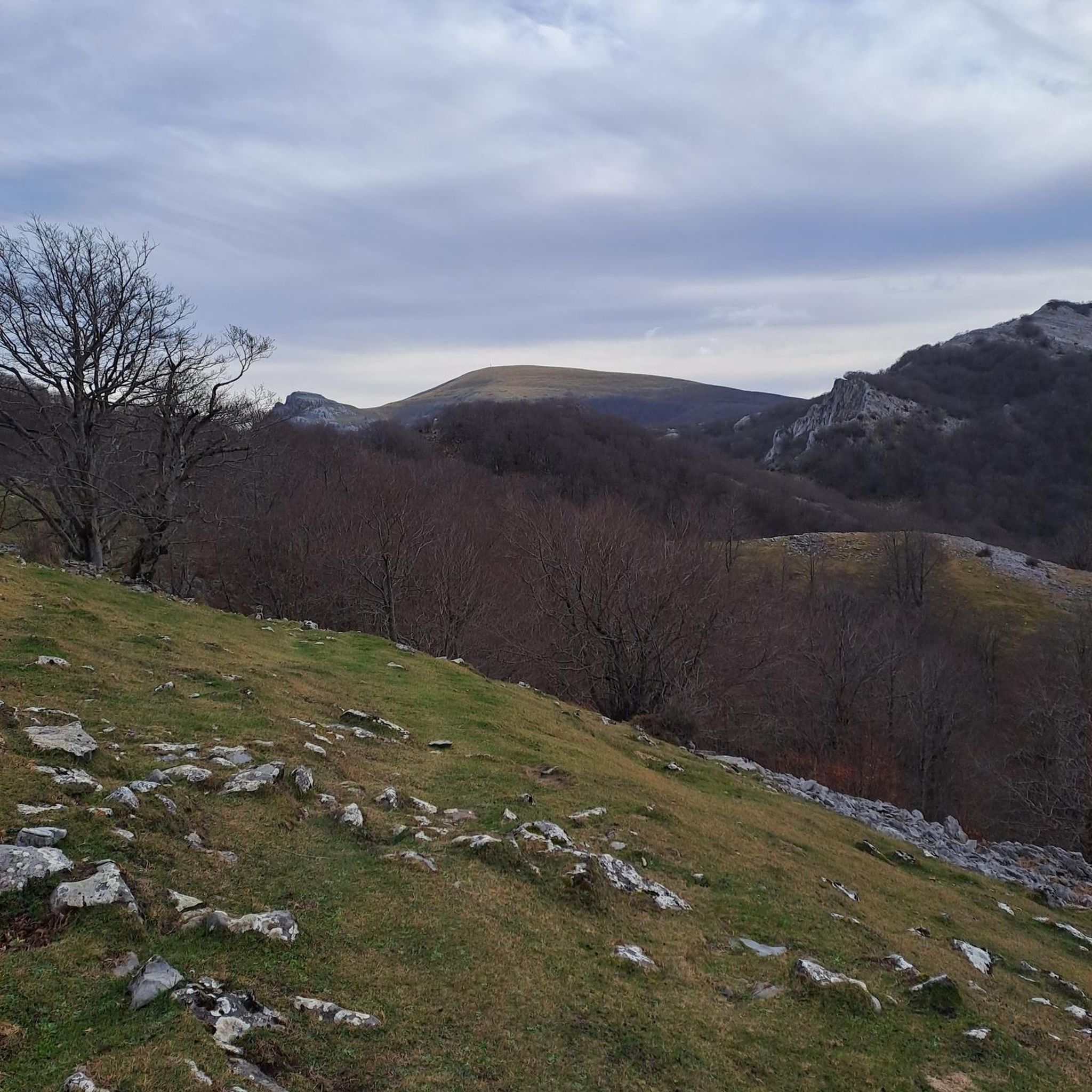
Traffic-free bike rides in Queensland
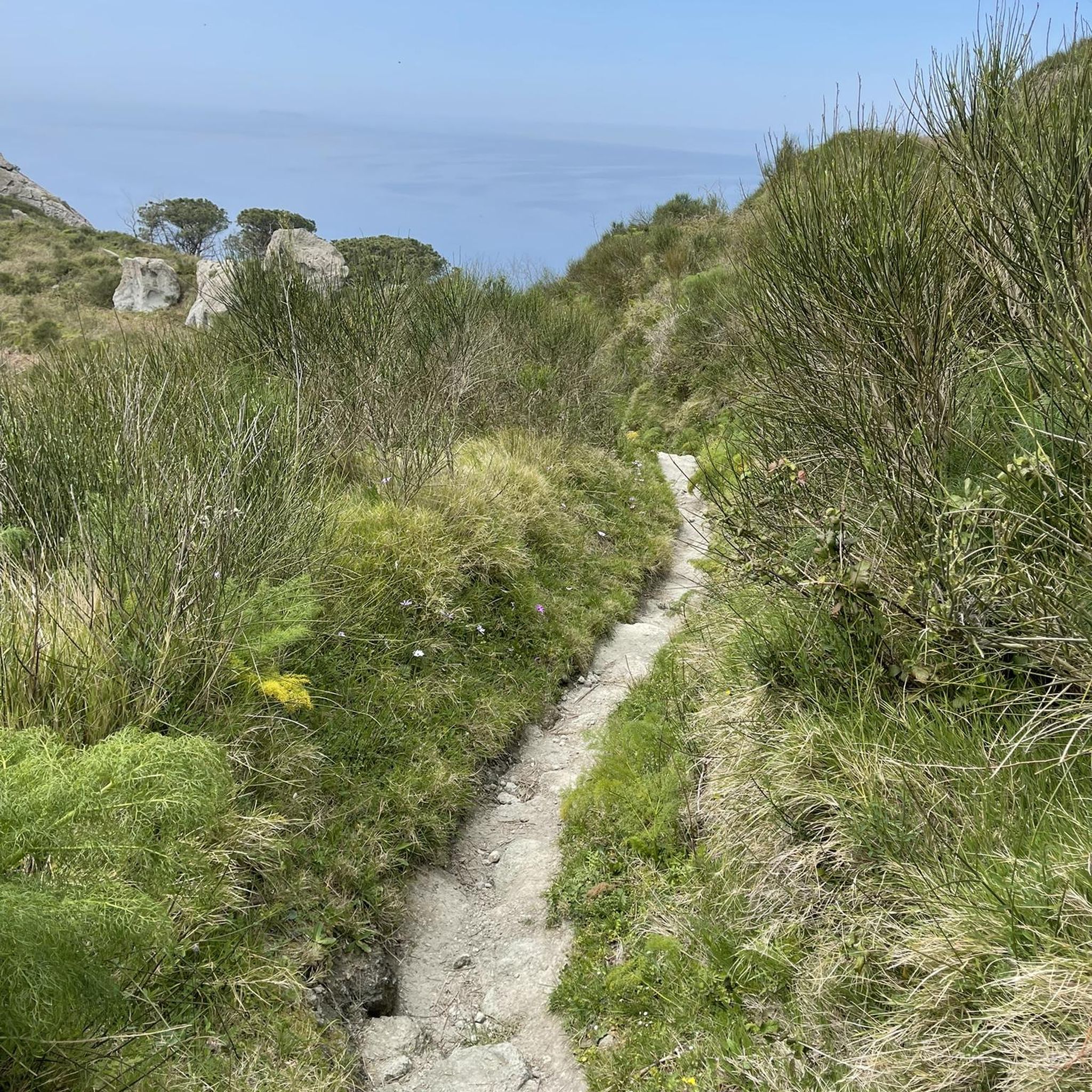
Traffic-free bike rides in Victoria
Traffic-free bike rides in South Australia

Traffic-free bike rides in New South Wales

Traffic-free bike rides in Western Australia

Traffic-free bike rides in Lane Cove National Park
Traffic-free bike rides in Sydney Harbour National Park
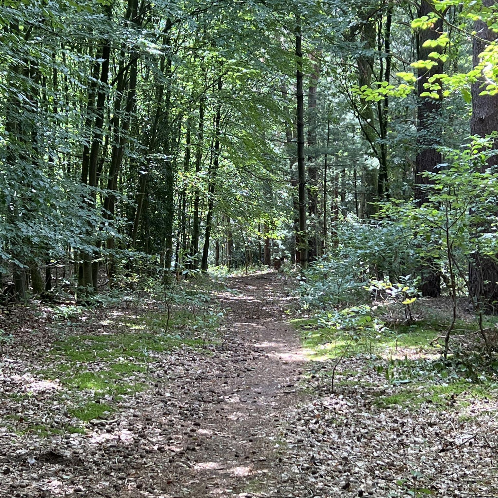
Traffic-free bike rides in Bidjigal Reserve

Traffic-free bike rides in Berowra Valley National Park

Traffic-free bike rides in Berowra Valley Regional Park
Other adventures in Australia


Tips from the Community

The UQ St Lucia Ferry Terminal is part of the CityCat ferry service along the Brisbane River. All ferries in the fleet have wheelchair and pram access, toilet facilities onboard, and open decks for enjoying fresh air. Bikes are allowed on ferries, and nearby the dock is the Alumni Teaching Garden, easy to access only a few meters away. Check out the St Vladimir Monument in the park and take a break under the shady trees.
0
0

W.E.P. Harris Oval is a large open sports field on the University of Queensland’s St Lucia campus that sits right along the Brisbane River. The oval is used for cricket, rugby and other field sports, and the surrounding open space and nearby paths make it a popular area for walking, running and informal recreation.
0
0
Parramatta Valley Cycleway is a mostly flat shared walking and cycling route that follows the Parramatta River through western Sydney, connecting Parramatta Park with several riverside reserves, wetlands, and Sydney Olympic Park. The route is a lovely combination of dedicated paths, boardwalks, and quiet foreshore sections, with plenty of views across the river and surrounding parklands. The riverside scenery, native vegetation, and mix of urban and natural landscapes make it a picturesque and accessible way to explore the Parramatta region by bike or on foot.
0
0

Brisbane River runs through the city and surrounding suburbs, forming a wide, slow-moving waterway that shapes much of Brisbane’s landscape. In this section near Graceville, the river feels more suburban, with tree-lined banks and fewer built-up edges.
0
0
Running alongside the Brisbane River, this shared path follows the edge of the water through the Graceville parklands. The route stays close to the river for most of the way, with open views across the water and sections of tree shade along the path. It’s flat and easy to follow, used by walkers, runners, and cyclists.
0
0

Tunks Creek Bridge is a historic truss road bridge spanning its namesake creek in Galston Gorge. The bridge was built between 1893-94 and spans 20 metres across the creek. It was added to the on the New South Wales State Heritage Register in June of 2000.
0
0
Schulz Canal is an engineered waterway designed for drainage and flood management. It runs through open, low-lying land, with grass-lined banks and wide, unobstructed views along its length. Water levels can vary depending on rainfall and tidal influence, with slower-moving sections and occasional birdlife along the edges.
0
0
This quiet stretch of shoreline sits beside mangroves, mudflats, and the southern edge of Boondall Wetlands. The area is known for birdlife, especially around high tide and along the boardwalks through the mangroves. Facilities include picnic areas, barbecues, playgrounds, dog park, toilets, boat access, and a waterfront shared path linking into the wider bikeway network. Water is shallow and tidal, with large mudflat areas exposed at low tide.
0
0
Frequently Asked Questions
How many no-traffic road cycling routes are available in Australia on komoot?
Komoot features over 500 no-traffic road cycling routes across Australia, catering to various skill levels and preferences. You'll find a wide selection, from leisurely rides to more challenging ascents.
What types of landscapes can I expect on these traffic-free road cycling routes in Australia?
Australia's diverse landscapes offer an incredible variety for traffic-free road cycling. You can experience everything from scenic coastal paths like those near the Great Ocean Road, challenging alpine climbs in regions such as Kosciuszko National Park, serene vineyard trails, and routes through lush forests and national parks. Even urban areas like Melbourne and Canberra offer excellent low-traffic options.
Are there easy, family-friendly no-traffic road cycling routes available?
Yes, there are plenty of easy and family-friendly options. Komoot lists over 240 easy routes that are perfect for beginners or families looking for a relaxed ride away from traffic. These often feature flatter terrain and well-maintained surfaces, allowing everyone to enjoy the scenery safely.
Can I find challenging no-traffic road cycling routes for experienced riders?
Absolutely. For experienced cyclists seeking a challenge, Australia offers numerous demanding routes. You'll find over 30 difficult routes with significant elevation gains, such as the Kennet River – View of the Undulating Hills loop from Birregurra, which features substantial climbing and covers a long distance. These routes often traverse alpine regions or hilly coastal areas.
What do other cyclists enjoy most about the no-traffic road cycling routes in Australia?
The komoot community highly rates these routes, with an average score of 4.5 out of 5 stars from nearly 2,000 ratings. Cyclists frequently praise the stunning natural beauty, the peace and quiet of car-free roads, and the diverse terrain that keeps rides interesting. Many appreciate the opportunity to explore iconic Australian landscapes without vehicle interruptions.
Are there loop routes available for no-traffic road cycling?
Yes, many of the no-traffic road cycling routes are designed as loops, allowing you to start and finish at the same point. Examples include the Outlook Hill – Anderson Street Climb loop from South Yarra in Victoria or the View of Telstra Tower – Scrivener Dam loop from Deakin in Canberra, offering convenient circular journeys.
What kind of attractions or points of interest can I see along these routes?
Many routes pass by or near significant attractions. You might cycle past stunning viewpoints like Pinnacle Lookout or Mount Coot-tha Lookout, or even iconic natural monuments such as Uluru (Ayers Rock). Coastal routes often feature beautiful beaches like Tamarama Beach and Bondi Beach, while others might lead through historic towns or vineyard regions.
Are there specific no-traffic routes near major cities like Melbourne or Sydney?
Yes, major cities offer excellent options. Near Melbourne, you can find routes like the Bridge in the nature reserve – Top ice cream shop loop from West Footscray. For Sydney, the John Whitton Bridge – Parramatta Valley Cycleway loop from Olympic Park provides a great traffic-free experience. These routes often utilize dedicated cycle paths or quiet suburban roads.
What is the best time of year for no-traffic road cycling in Australia?
Australia's vastness means the best time varies by region. Generally, spring (September-November) and autumn (March-May) offer pleasant temperatures across most of the country, ideal for cycling. In southern states, summer (December-February) can be hot, but alpine regions become accessible. Winter (June-August) is milder in the northern states, while southern areas might be cooler but still offer great riding days, especially in sunnier periods.
Are there cafes or places to stop for refreshments along these routes?
Many routes, especially those near urban centers or popular tourist areas, will have cafes, bakeries, or small shops where you can stop for refreshments. Routes through vineyard regions or coastal towns are particularly good for finding charming spots to refuel. For more remote routes, it's always advisable to carry sufficient water and snacks.
How can I find parking at the trailheads for these routes?
Parking availability varies by route and location. For routes starting in or near urban areas, public parking lots or street parking might be available. National parks and popular recreational areas often have designated parking facilities. It's recommended to check the route details on komoot or local council websites for specific parking information before you head out.
Most popular routes in Australia
Most popular attractions in Australia

Get inspired with the komoot mobile app


Didn’t find what you were looking for?
Check out more Road cycling routes throughout Australia below and find the perfect route in your destination.
