The best traffic-free bike rides around Flattach
4.7
(1149)
7,899
riders
41
rides
No traffic touring cycling routes around Flattach are set within the Möll valley, nestled between the Goldberg and Kreuzeck groups of the Hohe Tauern mountain range in Carinthia, Austria. The region features diverse landscapes, from the relatively flat valley floor along the Möll River to the surrounding alpine terrain with significant elevation changes. Natural highlights include deep gorges like Raggaschlucht and Groppenstein Gorge, and views of the Mölltal Glacier and the Hohe Tauern peaks. This varied topography provides a range of cycling experiences, from gentle valley rides to challenging mountain ascents.
Best no traffic touring cycling routes around Flattach
- The most popular no traffic touring cycling route is Water Wheel at Hatzhof – Gößnitz Bicycle Bridge loop from Groppenstein Castle, a 37.9 miles (61.0 km) trail that takes 4 hours 9 minutes to complete. This difficult route offers varied terrain and scenic views of the surrounding alpine landscape.
- Another top favourite among local touring cyclists is Gößnitz Bicycle Bridge – View of the Goldberg Group loop from Flattach, a moderate 21.2 miles (34.1 km) path. This route winds through the valley with views of the Hohe Tauern mountain range.
- Local touring cyclists also love the Entrance to Groppenstein Gorge – Obervellach Town Center loop from Flattach, a 16.2 miles (26.1 km) trail leading through Groppenstein Gorge and the Möll valley, often completed in about 2 hours 34 minutes.
- Touring cycling around Flattach is defined by the Möll valley, the Hohe Tauern mountain range, and impressive gorges. The network offers options for different ability levels, from moderate valley rides to difficult alpine ascents.
- The routes in Flattach are highly rated by the komoot community with an average score of 4.7 stars from over 800 reviews. More than 5,000 touring cyclists have used komoot to explore Flattach's varied terrain.
Last updated: June 27, 2026
4.9
(38)
220
riders
Hard bike ride. Very good fitness required. Mostly paved surfaces. Suitable for all skill levels.
4.8
(12)
58
riders
34.1km
02:22
410m
410m
Moderate bike ride. Good fitness required. Mostly paved surfaces. Suitable for all skill levels.

Sign up for free
5.0
(2)
39
riders
Hard bike ride. Very good fitness required. Mostly paved surfaces. Suitable for all skill levels.
4.4
(5)
29
riders
16.0km
01:06
150m
150m
Moderate bike ride. Good fitness required. Mostly paved surfaces. Suitable for all skill levels.
17
riders
19.9km
02:13
1,180m
1,180m
Hard bike ride. Very good fitness required. Mostly paved surfaces. Suitable for all skill levels.
Get access to more routes and recommendations from other explorers.
Sign up for free
Already have an account?
Our route recommendations are based on thousands of hikes, rides, and runs completed by other people on komoot.
Start today with a free account
Your next adventure awaits.
Login or Signup
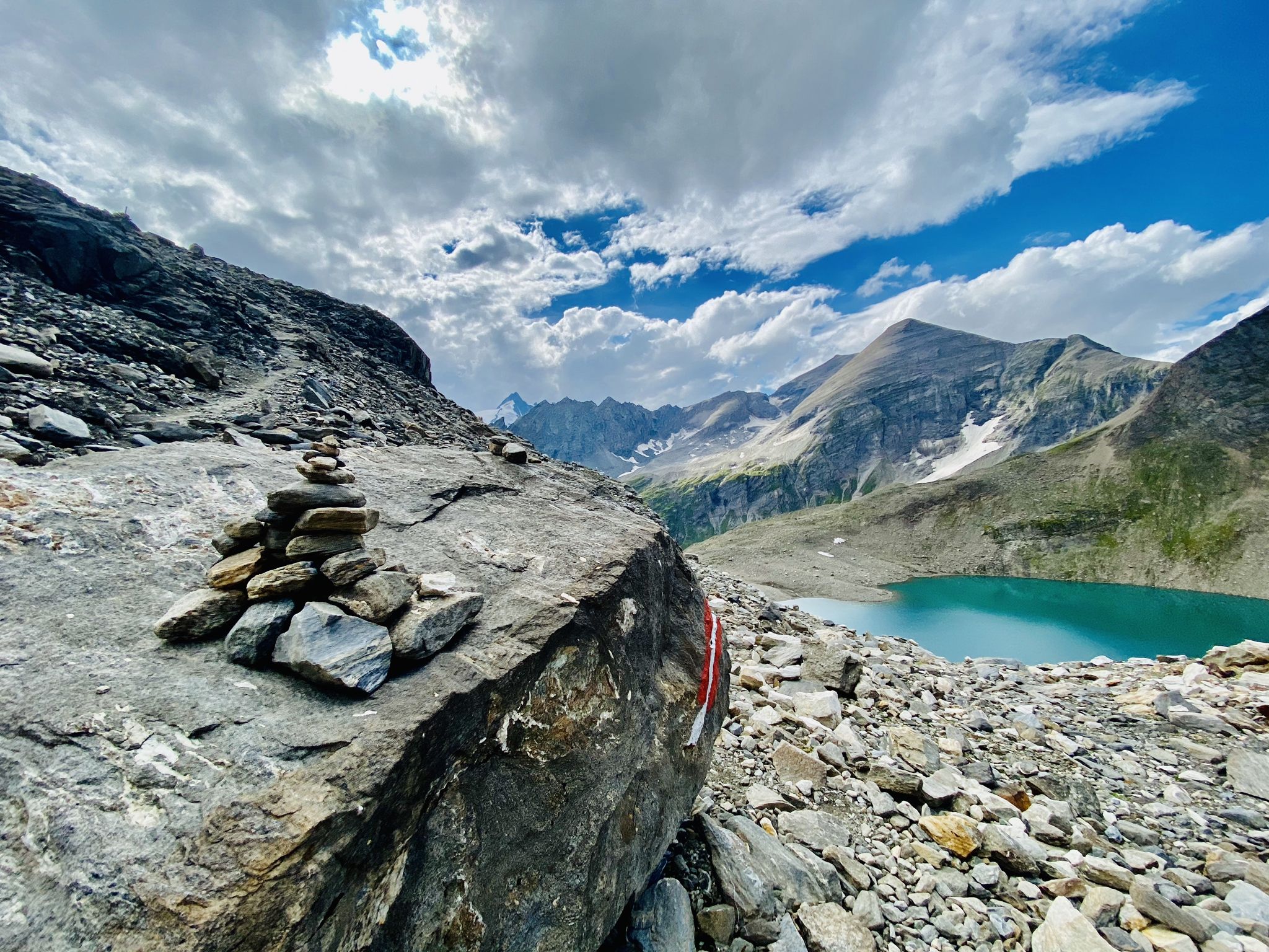

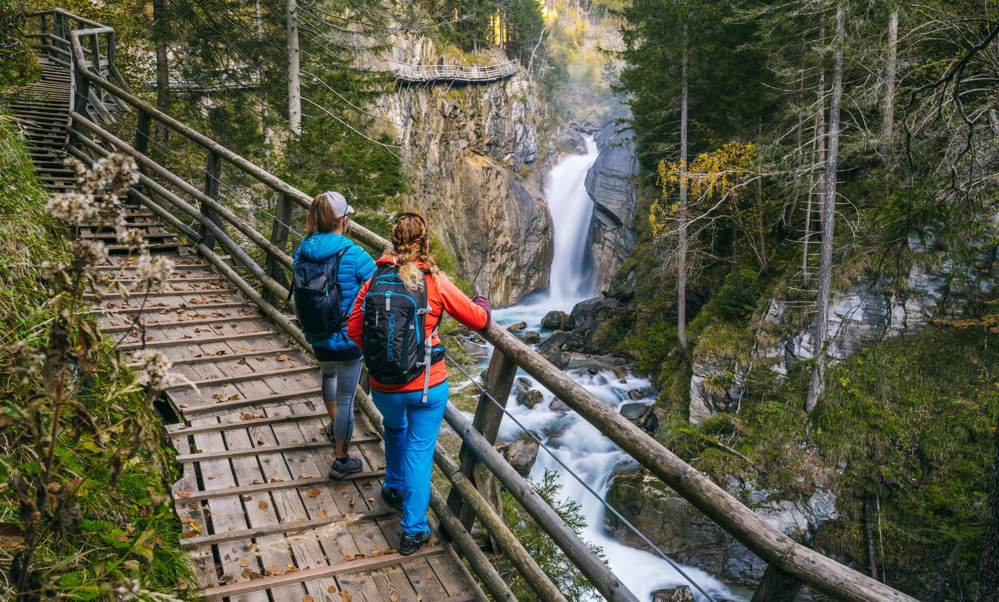

Other adventures around Flattach


Tips from the Community

…a nice little place with a pretty center 👀
2
0


What a struggle to get up here, but the joy is even greater when you have made it and are standing at the top of the pass. Great panorama.
0
0

wonderful view of the Mölltal and delicious food
1
0

In good weather good view of the valley
1
0

Start or end of the road to Mallnitz. Nice little town with restaurants.
12
0

Beautiful gorge, sturdy shoes required!
2
0
Frequently Asked Questions
How many no-traffic touring cycling routes are available around Flattach?
There are over 40 dedicated no-traffic touring cycling routes around Flattach, offering a wide range of experiences. These include 7 easy routes, 12 moderate routes, and 21 difficult routes, ensuring options for various skill levels.
What kind of terrain can I expect on these no-traffic touring cycling routes in Flattach?
The terrain around Flattach is diverse, ranging from the relatively flat valley floors along the Möll River to more challenging ascents into the surrounding Hohe Tauern mountain range. You'll find routes with significant elevation gain, such as the Oschenik Reservoir loop from Innerfragant Hotel Badmeister, which climbs over 1180 meters, as well as gentler options like the View of the Goldberg Group – Gößnitz Bicycle Bridge loop from Flattach with about 150 meters of ascent.
Are there any circular no-traffic touring cycling routes in the Flattach area?
Yes, many of the no-traffic touring cycling routes around Flattach are designed as loops, allowing you to start and end at the same point. Examples include the challenging Water Wheel at Hatzhof – Gößnitz Bicycle Bridge loop from Groppenstein Castle or the moderate Gößnitz Bicycle Bridge – View of the Goldberg Group loop from Flattach.
What do other cyclists say about the no-traffic touring routes in Flattach?
The komoot community highly rates the touring cycling experience in Flattach, with an average score of 4.7 out of 5 stars. Cyclists often praise the stunning natural beauty, the quiet roads, and the variety of routes that cater to different fitness levels, from scenic valley rides to challenging alpine climbs.
Is it possible to reach these routes using public transport with a bicycle?
Flattach is situated in the Möll valley, and public transport options, including buses, often serve the main towns. While specific bike transport availability can vary, regional buses in Carinthia sometimes offer bike racks or allow bikes during off-peak hours. It's advisable to check with local transport providers for their current bicycle carriage policies before planning your trip.
Where can I find parking for these traffic-free cycling routes in Flattach?
Parking is generally available in and around Flattach, especially near popular starting points for outdoor activities. For example, there is parking available for visitors to the Raggaschlucht gorge, which can serve as a convenient base for some routes. Many villages and attractions in the region also offer designated parking areas for tourists.
What is the best time of year for no-traffic touring cycling in Flattach?
The best time for touring cycling in Flattach is typically from late spring (May) through early autumn (October). During these months, the weather is generally mild, and the mountain passes are clear of snow. Summer offers the warmest temperatures, while spring and autumn provide vibrant scenery and fewer crowds. Always check local weather conditions before heading out, especially for higher elevation routes.
Are there any family-friendly no-traffic cycling routes in Flattach?
While many routes offer a challenge, the Möll River valley provides flatter sections that are more suitable for families. Look for routes with lower elevation gains and shorter distances. The region's focus on outdoor activities means there are often well-maintained paths that are safe for all ages, though specific 'family-friendly' designations should be checked for individual routes.
Can I bring my dog on these no-traffic touring cycling routes?
Many outdoor paths in Austria are dog-friendly, provided dogs are kept on a leash and owners clean up after them. However, specific rules can vary depending on the route and whether it passes through protected areas or private land. Always ensure your dog is well-behaved and accustomed to cycling alongside you. It's recommended to check local regulations for specific paths or national park areas.
What natural attractions can I see along the no-traffic touring cycling routes?
Flattach is rich in natural wonders. You can cycle past impressive gorges like the Ragga gorge and waterfalls or the Entrance to Groppenstein Gorge, where you can often hear the thundering water. The region also features beautiful lakes such as Stappitzer Lake and offers stunning views of the Hohe Tauern mountain range and the Möll River valley.
Are there any cafes or restaurants along the no-traffic cycling routes in Flattach?
Yes, as Flattach is a popular tourist destination, you'll find various cafes, restaurants, and guesthouses in the main village and surrounding areas. Many routes pass through or near small towns and villages where you can stop for refreshments or a meal. It's always a good idea to check opening hours, especially during off-peak seasons.
Most popular attractions around Flattach

Get inspired with the komoot mobile app


Explore more
Browse the best Cycling routes in other regions.
