The best hikes from bus stations in Steibis
4.6
(26605)
124,275
hikers
65
hikes
Hiking in Steibis, located within the Nagelfluhkette Nature Park, offers a diverse landscape of dense forests, cascading waterfalls, and prominent mountain features. The region is characterized by three parallel mountain ridges, including the Hochgrat, providing varied terrain from gentle alpine pastures to more challenging ascents. Numerous bus station hiking trails in Steibis allow access to these natural features, including viewpoints over the Allgäu Alps and the Kojen valley. The area's geology supports a rich environment with rivers, lakes, and gorges,…
Last updated: June 27, 2026
4.7
(750)
2,490
hikers
6.50km
01:53
150m
150m
Moderate hike. Great for any fitness level. Mostly accessible paths. Sure-footedness required.
4.7
(406)
2,025
hikers
20.3km
07:42
1,120m
1,120m
Hard hike. Very good fitness required. Sure-footedness, sturdy shoes and alpine experience required.

Sign up for free
4.6
(109)
493
hikers
11.9km
03:51
510m
510m
Moderate hike. Good fitness required. Easily-accessible paths. Suitable for all skill levels.
4.7
(112)
496
hikers
Easy hike. Great for any fitness level. Easily-accessible paths. Suitable for all skill levels.
4.8
(121)
494
hikers
13.4km
04:28
560m
560m
Hard hike. Good fitness required. Sure-footedness, sturdy shoes and alpine experience required.
Get access to more routes and recommendations from other explorers.
Sign up for free
Already have an account?
Our route recommendations are based on thousands of hikes, rides, and runs completed by other people on komoot.
Start today with a free account
Your next adventure awaits.
Login or Signup
Popular around Steibis

Detectives and summit baggers – family hikes around Oberstaufen
Westallgäuer Wasserwege
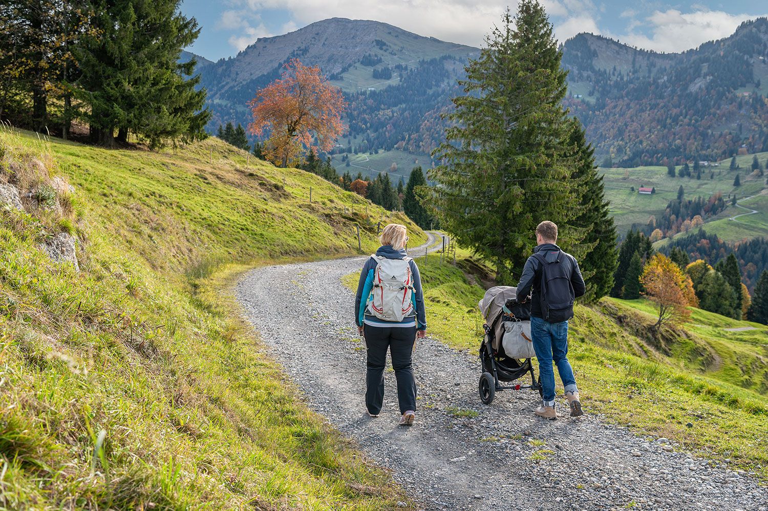
Die Kleinsten ganz oben - Kinderwagentaugliche Touren rund um Oberstaufen
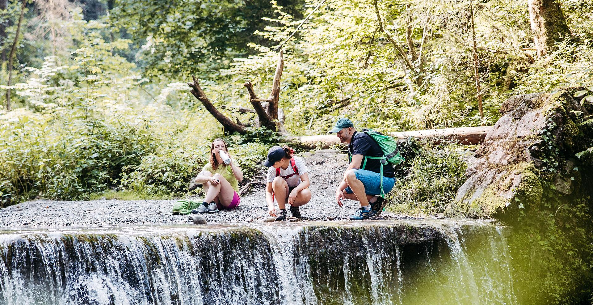
Sanft plätschernd bis tosend wild – erfrischende Wanderungen rund um Oberstaufen
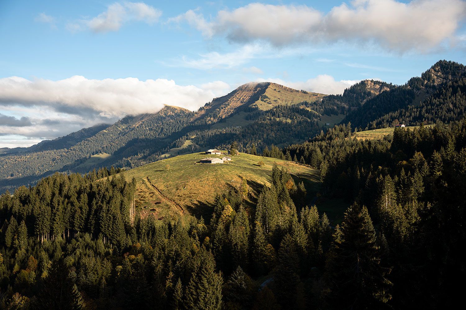
Die Natur zu Fuß erkunden – die 10 schönsten Wanderungen rund um Oberstaufen
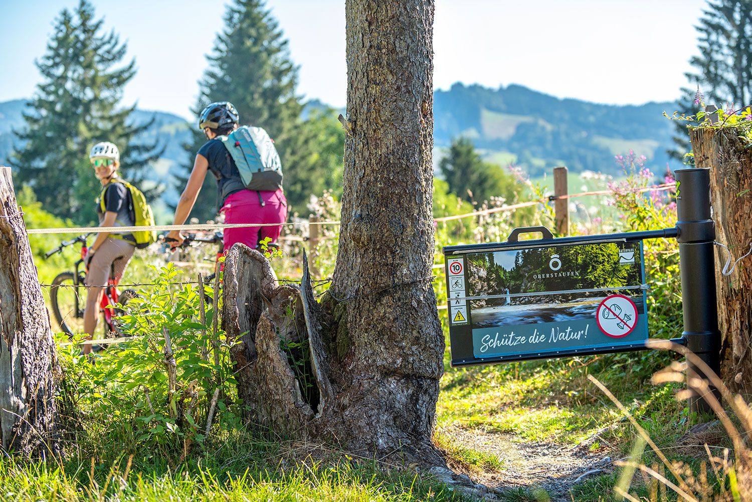
Mit Profil raus in die Natur – MTB-Touren Oberstaufen
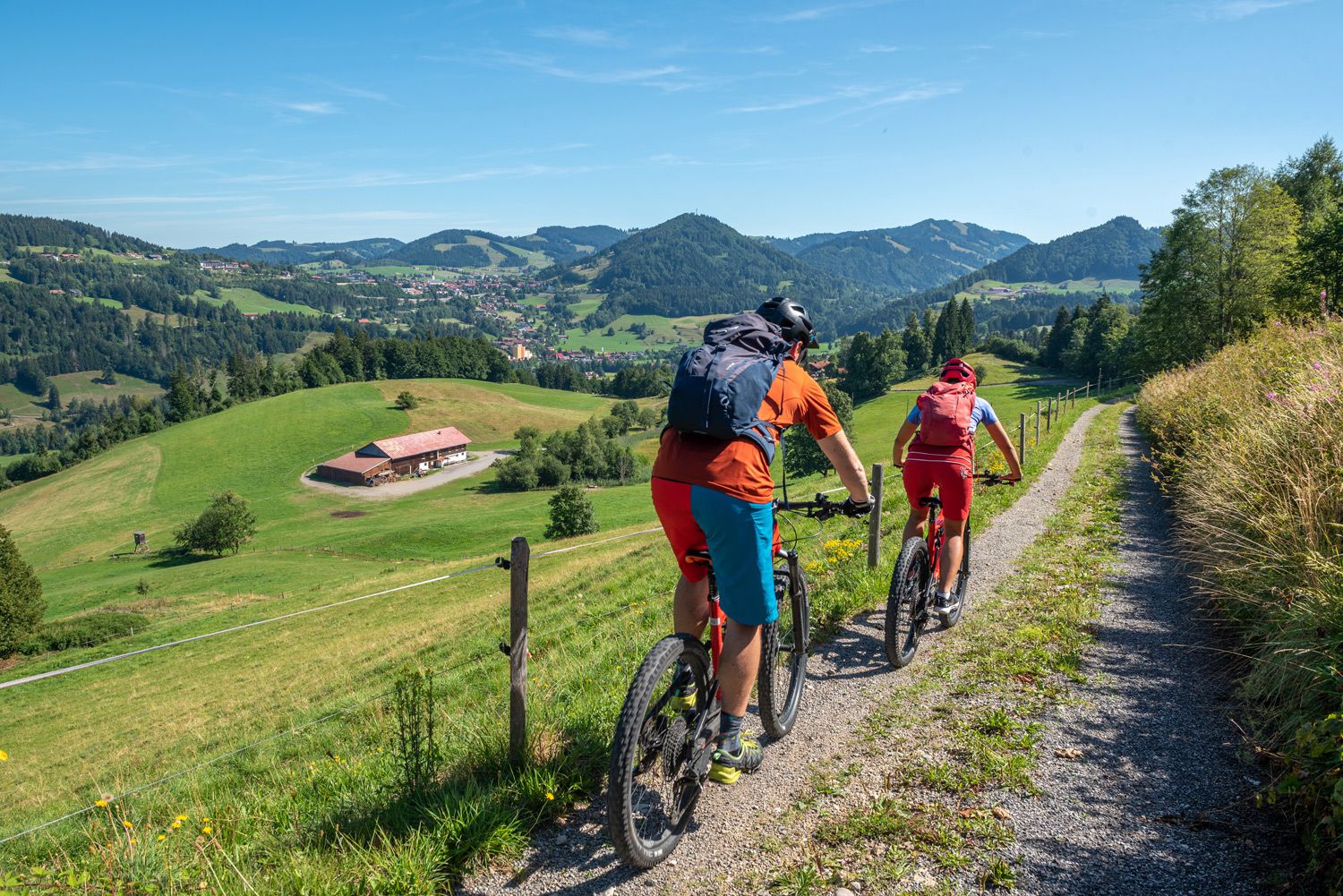
Mit Unterstützung geht es leichter – E-Bike-Touren Oberstaufen
Other adventures in Steibis


Tips from the Community

Along the Alpine Adventure Trail, the "Soil Structure in the Valley" station explains what's happening beneath your feet – from humus and roots to stones and watercourses. Informative panels and models show why healthy soil is so important for alpine meadows, forests, and the entire valley. It's the perfect place for a short learning break before continuing your hike through the mountain landscape.
2
0
From here, a wide view opens up into the Lanzenbach valley with its meadows, farms, and gently rising slopes all around. On clear days, you can follow the valley for a considerable distance and clearly see the staggered hills. Ideal for a short panoramic stop to catch your breath, take photos, and get your bearings.
2
0

Great, quiet area to relax. 😘
4
0

Nagelfluh on the Hochgrat: Striking peaks and rocky ridges characterize the mountain range that stretches from the Mittagberg near Immenstadt across the Hochgrat to the Bregenz Forest. The rocks, which have been "baked" into conglomerate from scree, look as if nails had been driven deep into them, leaving only the heads visible, which is why they are also called "Nagelfluh."
0
0

With a bit of luck you can find arnica directly on the Hochgrat, a rare sight.
6
0
The Hochgrat and the Seelekopf are two peaks in the Allgäu Alps. The Seelekopf is a neighboring mountain of the Hochgrat at 1663 meters. The Seelekopf can be reached via a ridge hike from the Hochgratbahn mountain station and offers a rewarding view, but requires surefootedness and is secured with rope-secured sections. The Hochgrat is the highest mountain in Oberstaufen and offers breathtaking views of the Allgäu Alps. The Seelekopf opposite is 1663 meters high and lies in the Allgäu Nagelfluh ridges. The combination makes a great hike.
5
0

Hiking trail along the Lanzenbach is suitable for strollers
2
0

The path from the Gasthof Auwinkel to the Imberg is a bit steep but manageable; once you reach the top, the panoramic view is truly impressive! On the circular route back to the Auwinkel, the Brandner Alpe is a must for cheese lovers; home-made cheese is simply delicious.
0
0
Frequently Asked Questions
How many hiking trails accessible from bus stations are there in Steibis?
Steibis offers a wide selection of routes accessible directly from bus stations, with over 60 hiking trails available. These range from easy strolls to challenging mountain ascents, ensuring there's something for every hiker.
Are there easy hiking trails from bus stops in Steibis suitable for families?
Yes, Steibis has several easy trails perfect for families, many of which are accessible by bus. For instance, the View of the Nagelfluhkette – View of the Alm loop from Wald-Wild-Schongebiet Hohenegg is an easy option that offers scenic views without significant difficulty. The Alpine Adventure Trail on the Imberg, mentioned in the region research, is also known for being family-friendly.
Can I bring my dog on the bus-accessible hiking trails in Steibis?
Many trails in Steibis are dog-friendly, allowing you to enjoy the beautiful scenery with your canine companion. However, it's always advisable to keep dogs on a leash, especially in nature protection areas or near grazing livestock. Always check local regulations for specific routes.
What kind of natural features or viewpoints can I expect to see on these trails?
The bus-accessible trails in Steibis lead to a variety of stunning natural features and viewpoints. You can discover the impressive Buchenegg waterfalls, enjoy panoramic vistas from the Imberg and Hochgrat mountains, or visit viewpoints like View of Großer Alpsee from Naturpark Nagelfluhkette. The region is part of the Nagelfluhkette Nature Park, known for its diverse landscapes including forests, alpine pastures, and unique rock formations.
Are there any circular hiking routes that start and end at a bus stop in Steibis?
Yes, Steibis offers several circular routes that are convenient for public transport users. For example, the View of Hochgrat – View of the Nagelfluhkette loop from Steibis is a moderate circular hike that allows you to return to your starting point without needing additional transport.
What is the best time of year to hike in Steibis, especially from bus stations?
The best time to hike in Steibis is generally from late spring through early autumn (May to October), when the weather is mild and trails are clear of snow. During these months, bus services are typically more frequent, and you can fully enjoy the lush alpine meadows and clear mountain views. Winter hiking is possible, but some higher-altitude routes may be closed or require special equipment.
What do other hikers enjoy the most about hiking in Steibis?
The hiking trails in Steibis are highly regarded by the komoot community, boasting an average rating of 4.6 stars from over 24,000 reviews. Hikers frequently praise the diverse landscapes, from cascading waterfalls to panoramic mountain views, and the excellent accessibility of many trails via public transport.
Are there any challenging routes accessible by bus for experienced hikers?
Absolutely. For experienced hikers seeking a challenge, the Hochgrat Summit Cross – Hochgrat Summit loop from Steibis is a difficult route that covers over 20 km with significant elevation gain, offering breathtaking views from the highest mountain in Oberstaufen. This trail, like others, can be reached using local bus services.
Can I find refreshments or places to rest along the bus-accessible hiking trails?
Many hiking routes in Steibis, particularly those in the alpine areas, feature traditional mountain huts (Alpen) where you can stop for refreshments and a rest. For example, the Alpe Hörmoos is a highlight along some trails, offering a chance to experience authentic Allgäu hospitality. It's always a good idea to carry sufficient water and snacks, especially on longer routes.
Are there any waterfalls accessible via bus-friendly hiking trails in Steibis?
Yes, the impressive Buchenegg Waterfalls are a key natural attraction in Steibis and are accessible via a popular moderate hiking route. The Steibis – Buchenegg waterfalls tour is a great example of a trail that takes you directly to these beautiful cascades, starting conveniently from Steibis.
What is the typical terrain like on bus-accessible hikes in Steibis?
The terrain on bus-accessible hikes in Steibis is quite varied, reflecting the region's diverse landscape. You can expect well-maintained forest paths, gravel tracks, and sometimes steeper, rocky sections, especially on routes leading to higher peaks like the Hochgrat. Trails often traverse lush alpine meadows and offer a mix of shaded and open areas.
Most popular attractions in Steibis

Get inspired with the komoot mobile app


Explore more
Browse the best Hikes in other regions.
