The best hikes from bus stations around Treuchtlingen
4.5
(984)
3,358
hikers
154
hikes
Bus station hiking trails around Treuchtlingen offer access to the diverse landscapes of the Altmühltal Nature Park. The region is characterized by the picturesque Altmühl valley, limestone cliffs, juniper slopes, and varied geological formations. Hikers can explore river valleys, plateaus, and forests, with routes often featuring historical sites.
Best bus station hiking trails around Treuchtlingen
- The most popular bus station hiking route is Patrichberg – Patrichberg Quarry loop from Treuchtlingen, a 6.4 miles (10.4 km) moderate trail that takes…
Last updated: June 27, 2026
4.4
(18)
60
hikers
10.3km
02:58
250m
250m
Moderate hike. Good fitness required. Easily-accessible paths. Suitable for all skill levels.
4.4
(16)
64
hikers
Moderate hike. Good fitness required. Easily-accessible paths. Suitable for all skill levels.

Sign up for free
4.6
(13)
35
hikers
11.0km
02:55
120m
120m
Moderate hike. Good fitness required. Easily-accessible paths. Suitable for all skill levels.
5.0
(10)
41
hikers
6.65km
01:50
120m
120m
Easy hike. Great for any fitness level. Easily-accessible paths. Suitable for all skill levels.
4.3
(8)
35
hikers
Moderate hike. Good fitness required. Easily-accessible paths. Suitable for all skill levels.
Get access to more routes and recommendations from other explorers.
Sign up for free
Already have an account?
Our route recommendations are based on thousands of hikes, rides, and runs completed by other people on komoot.
Start today with a free account
Your next adventure awaits.
Login or Signup
Popular around Treuchtlingen
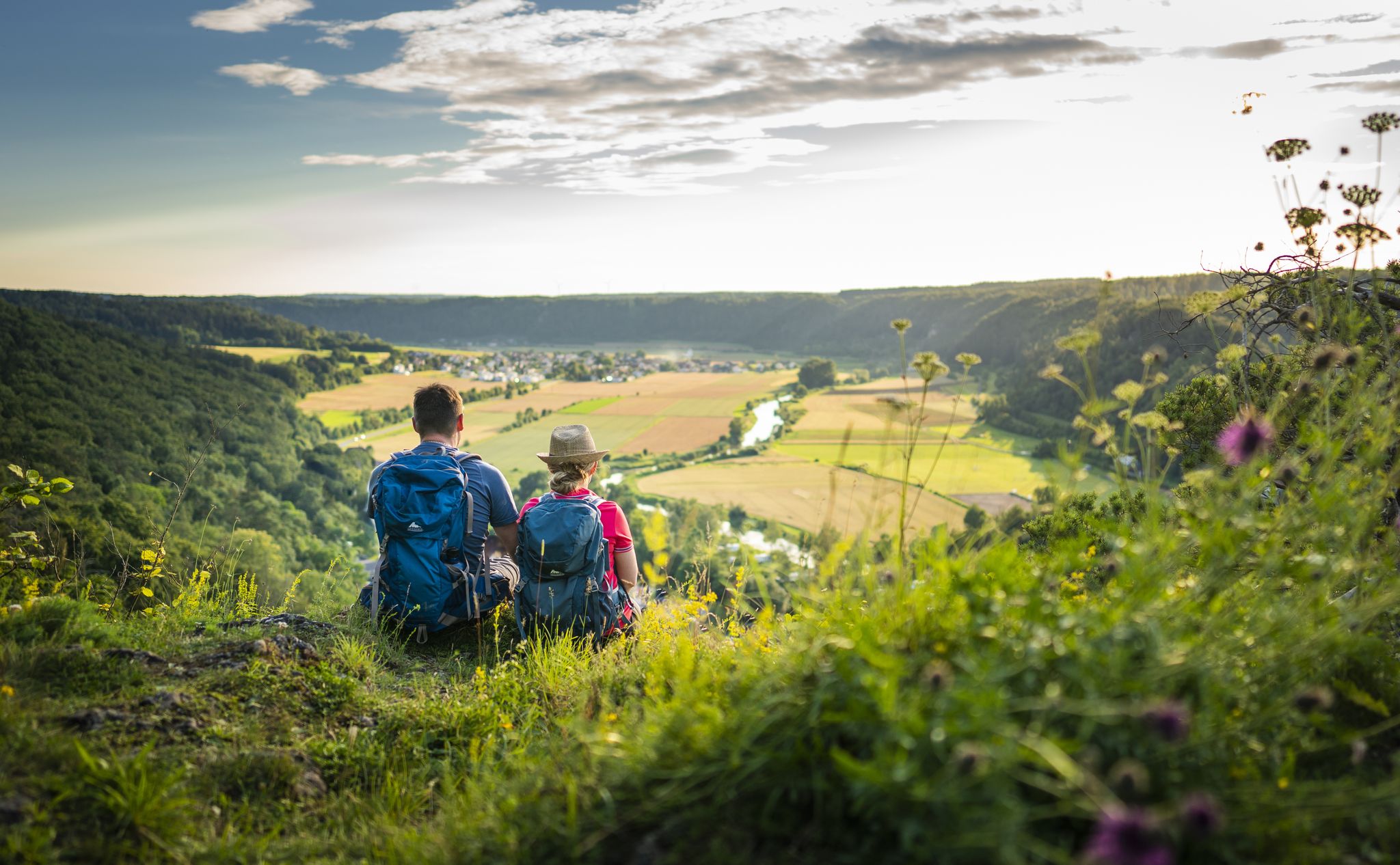
Sunny hiking loops – glorious autumn in the Altmühltal Nature Park

The Franconian Trail – A Diverse Hiking Dream Across 24 Stages
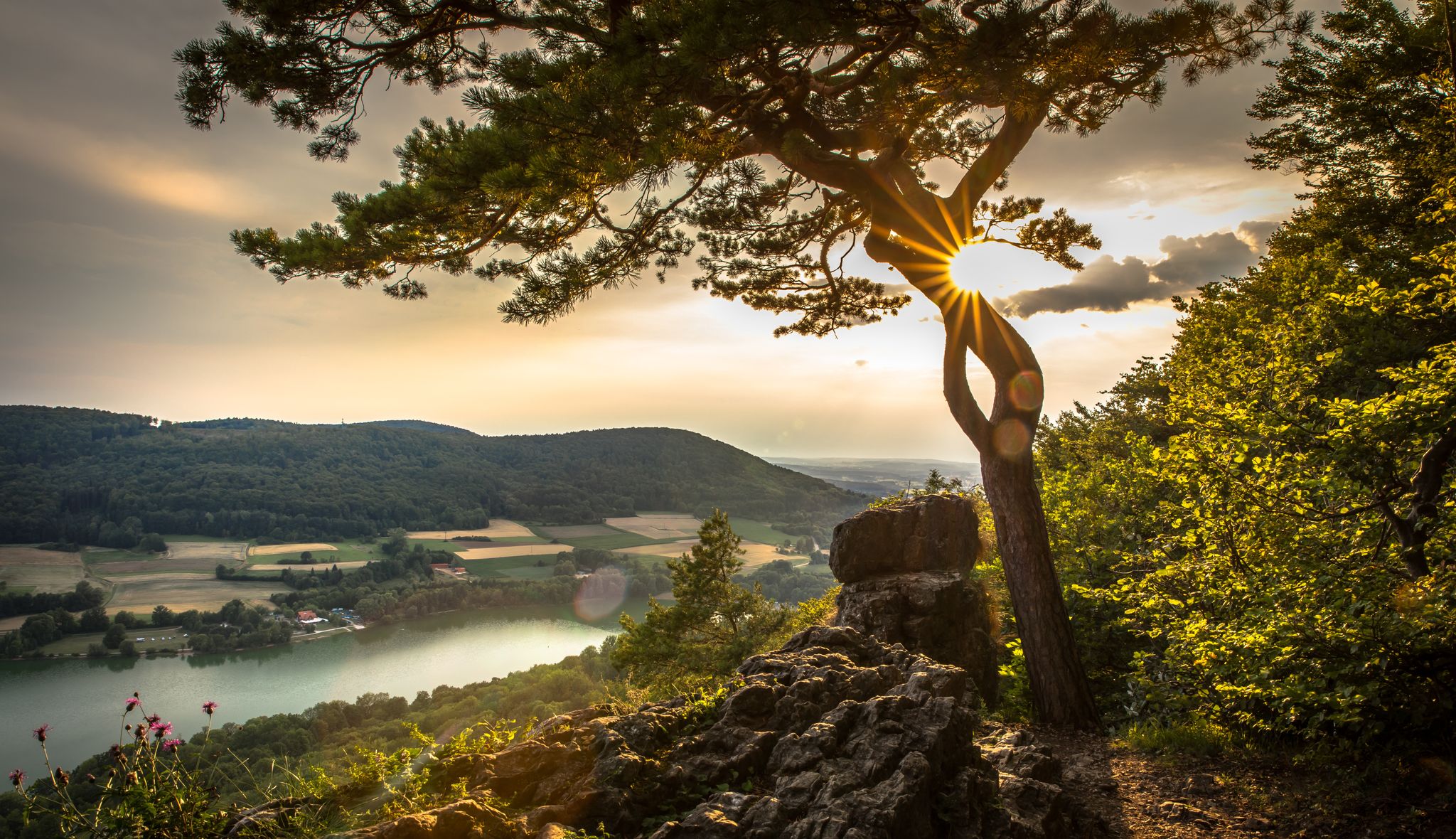
Start the adventure – your VGN summer train
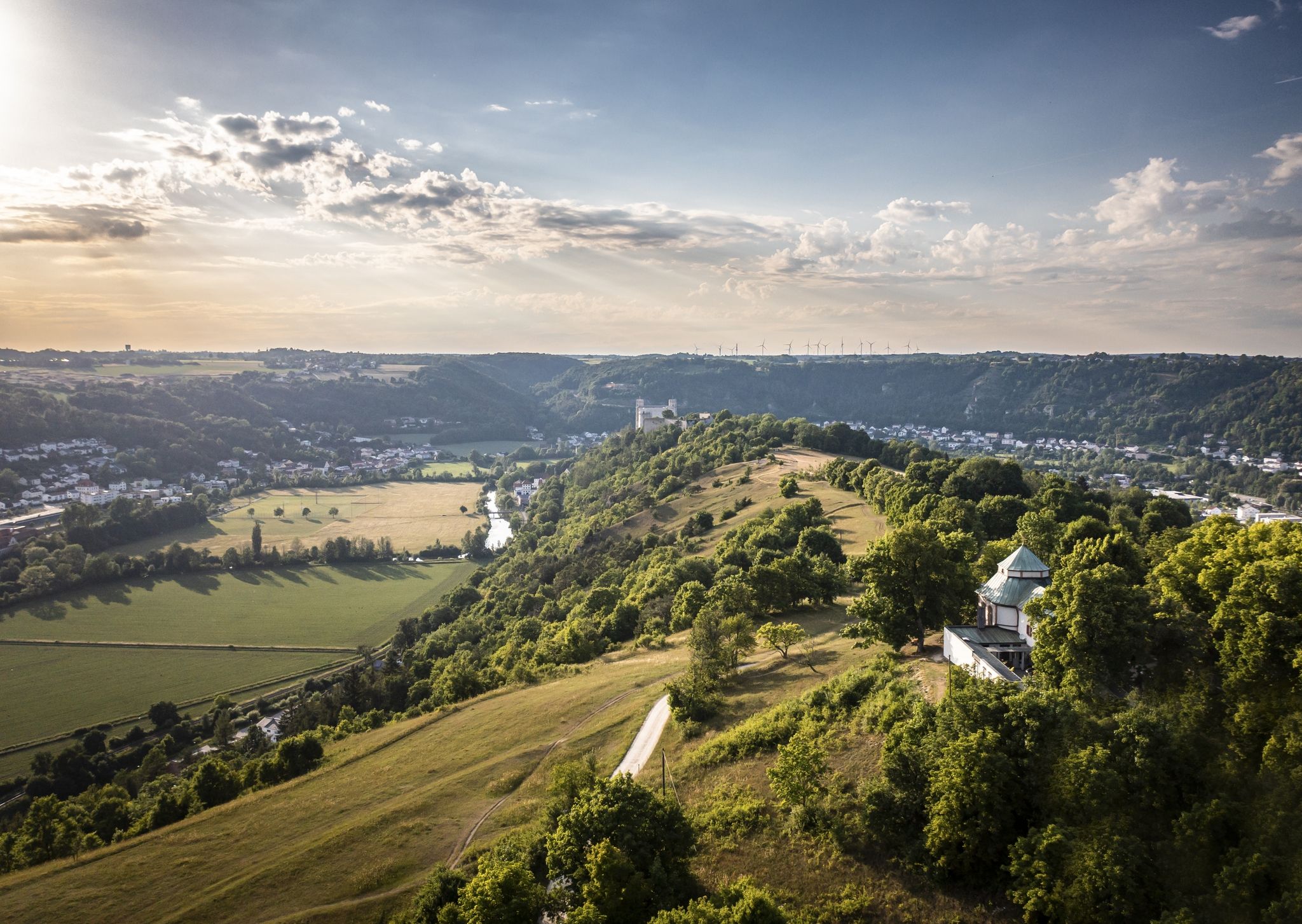
Altmühltal Panorama Trail – Altmühlsee to the Danube
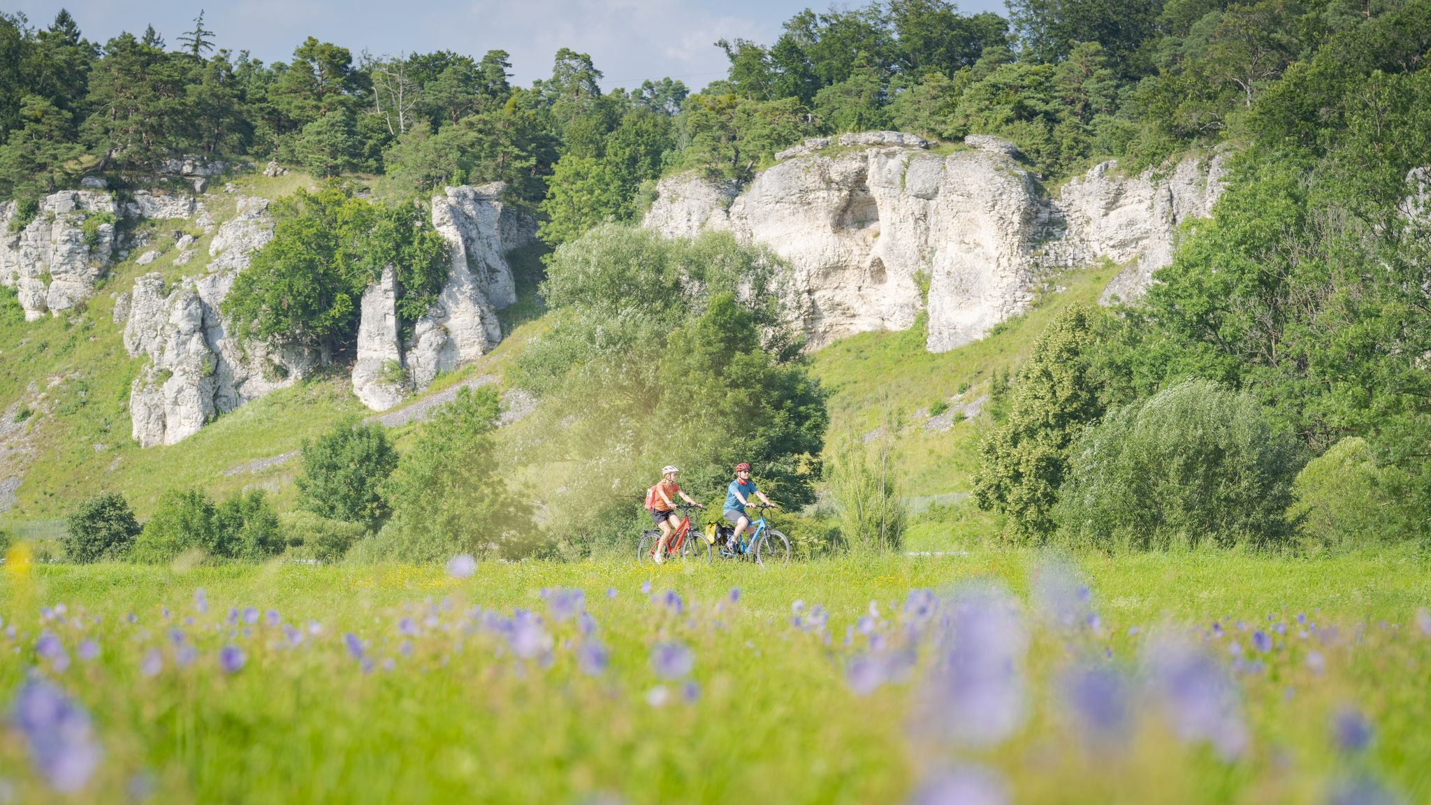
Altmühltal Geo cycle path – into the heart of the Earth's history
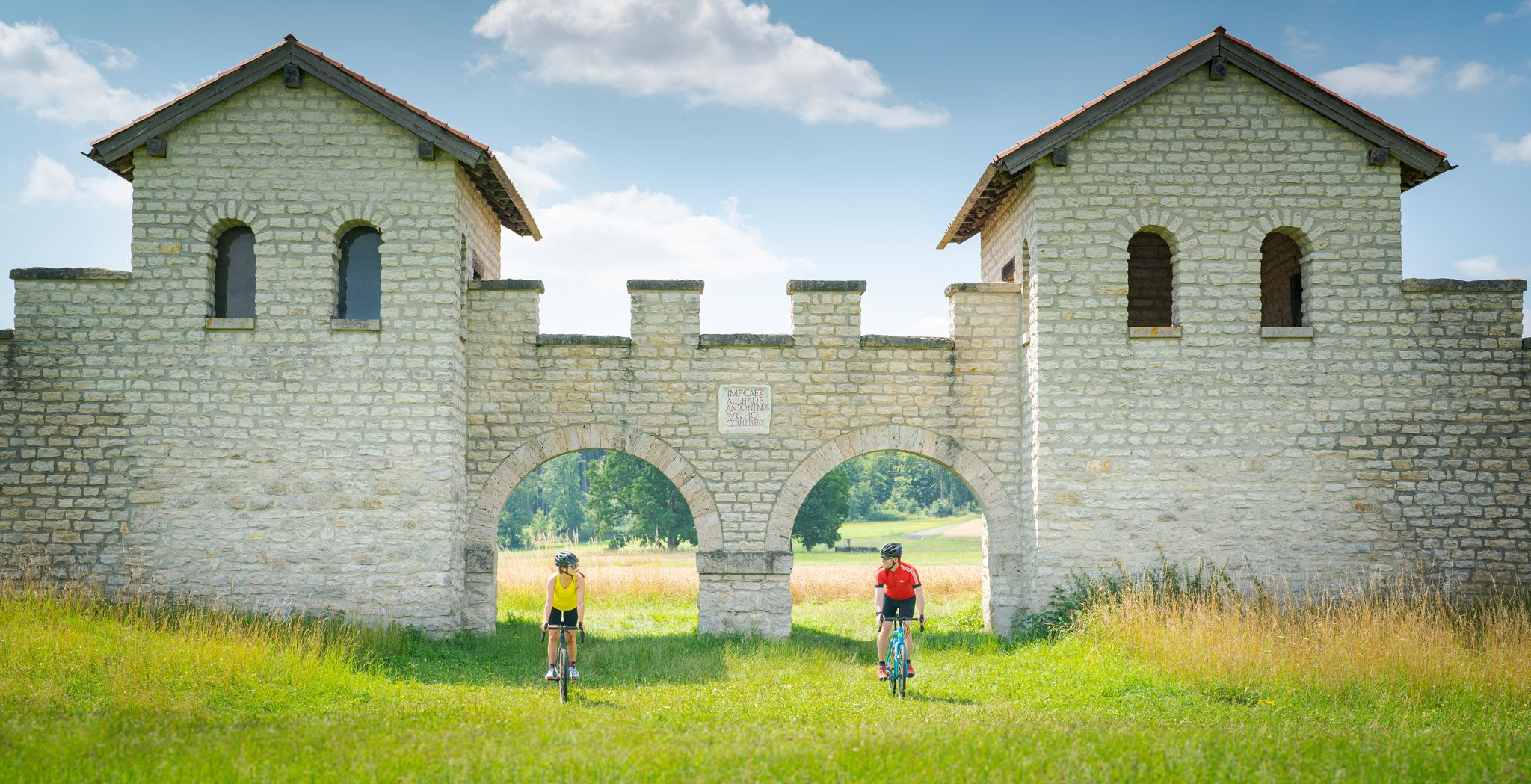
River valleys to plateaus – gravel cycling in Altmühltal Nature Park
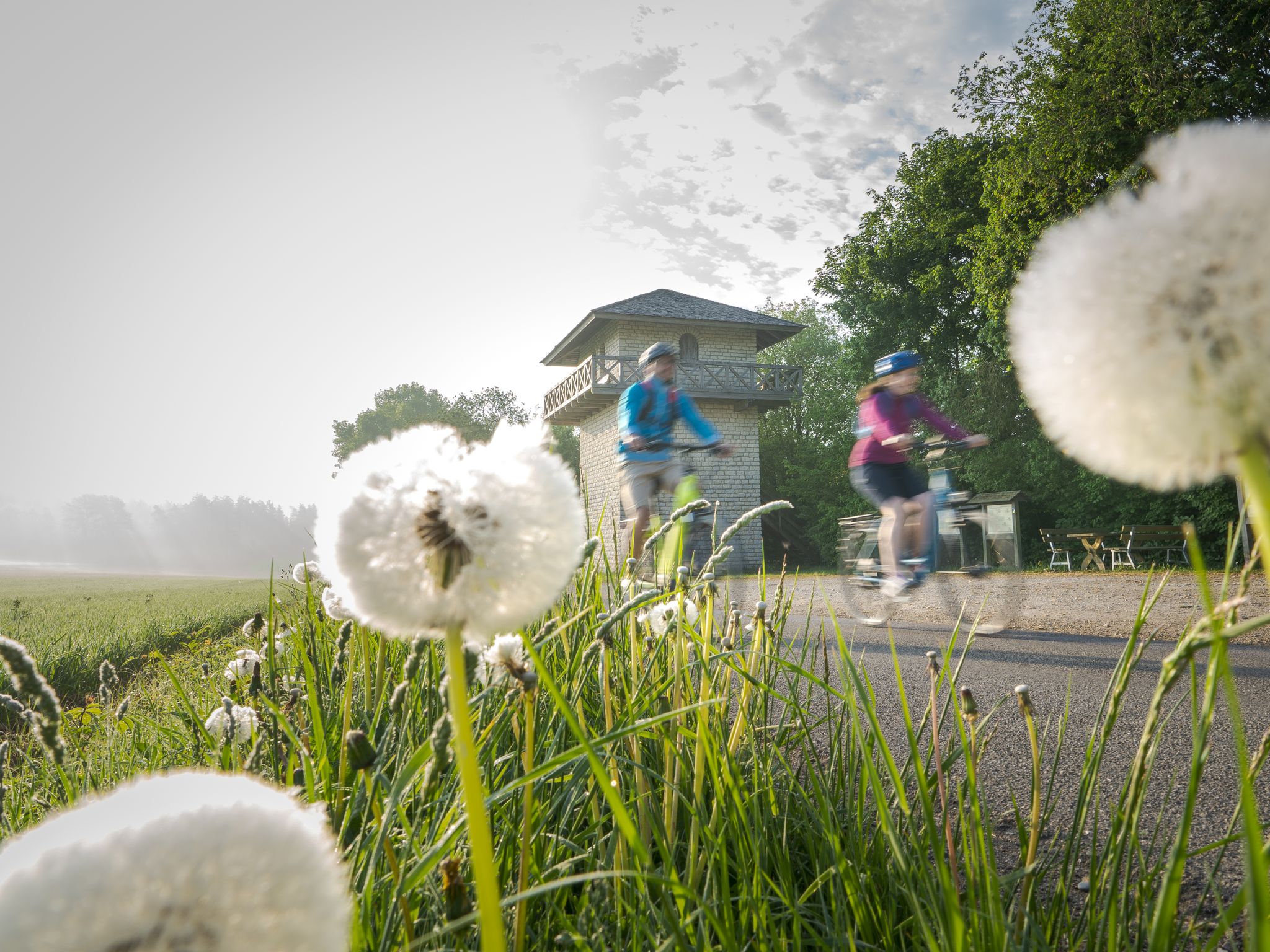
Culinary, Romans and Castles - Bike Tours in the Altmühltal Nature Park
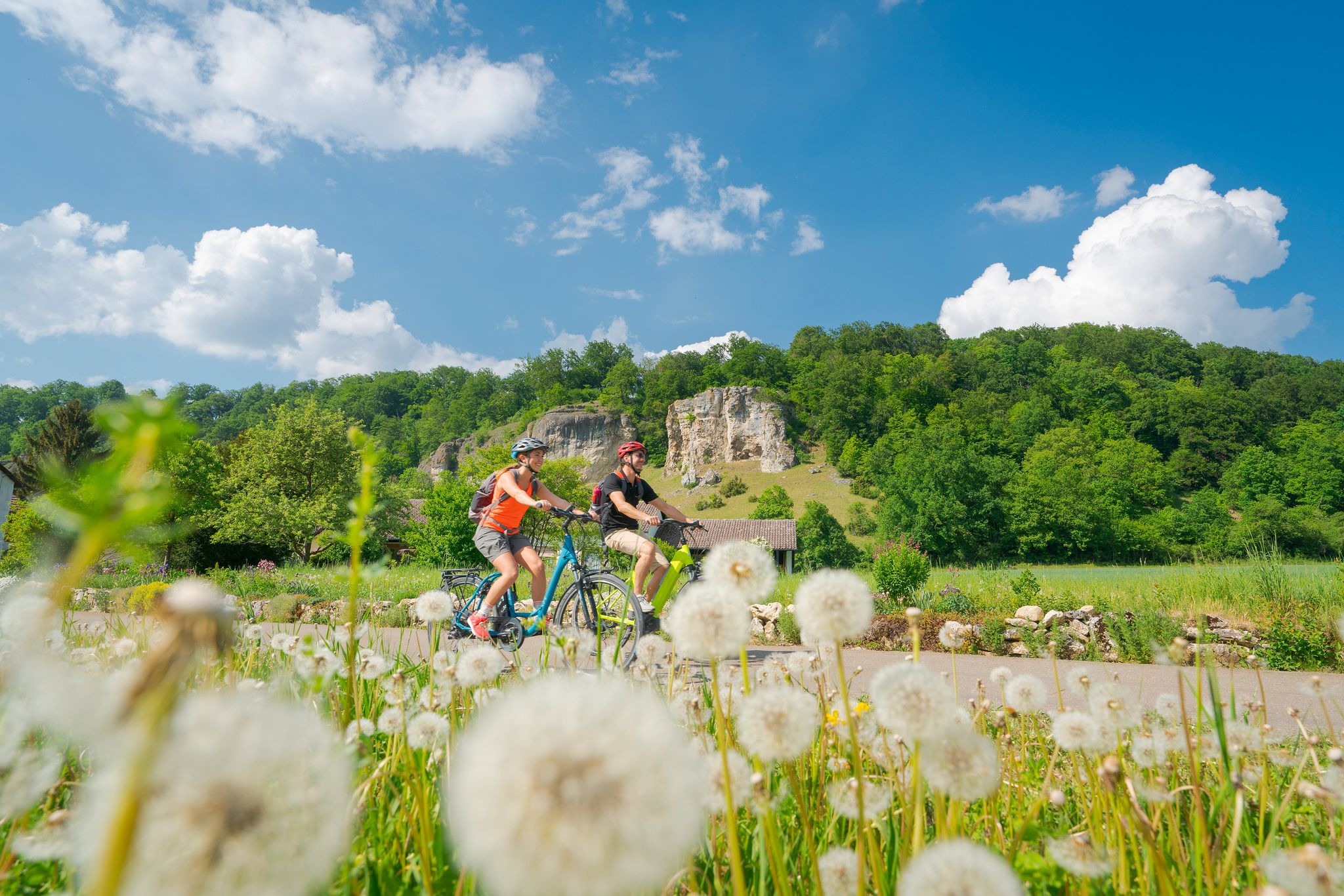
Discover the green heart of Bavaria – Altmühltal Nature Park by bike
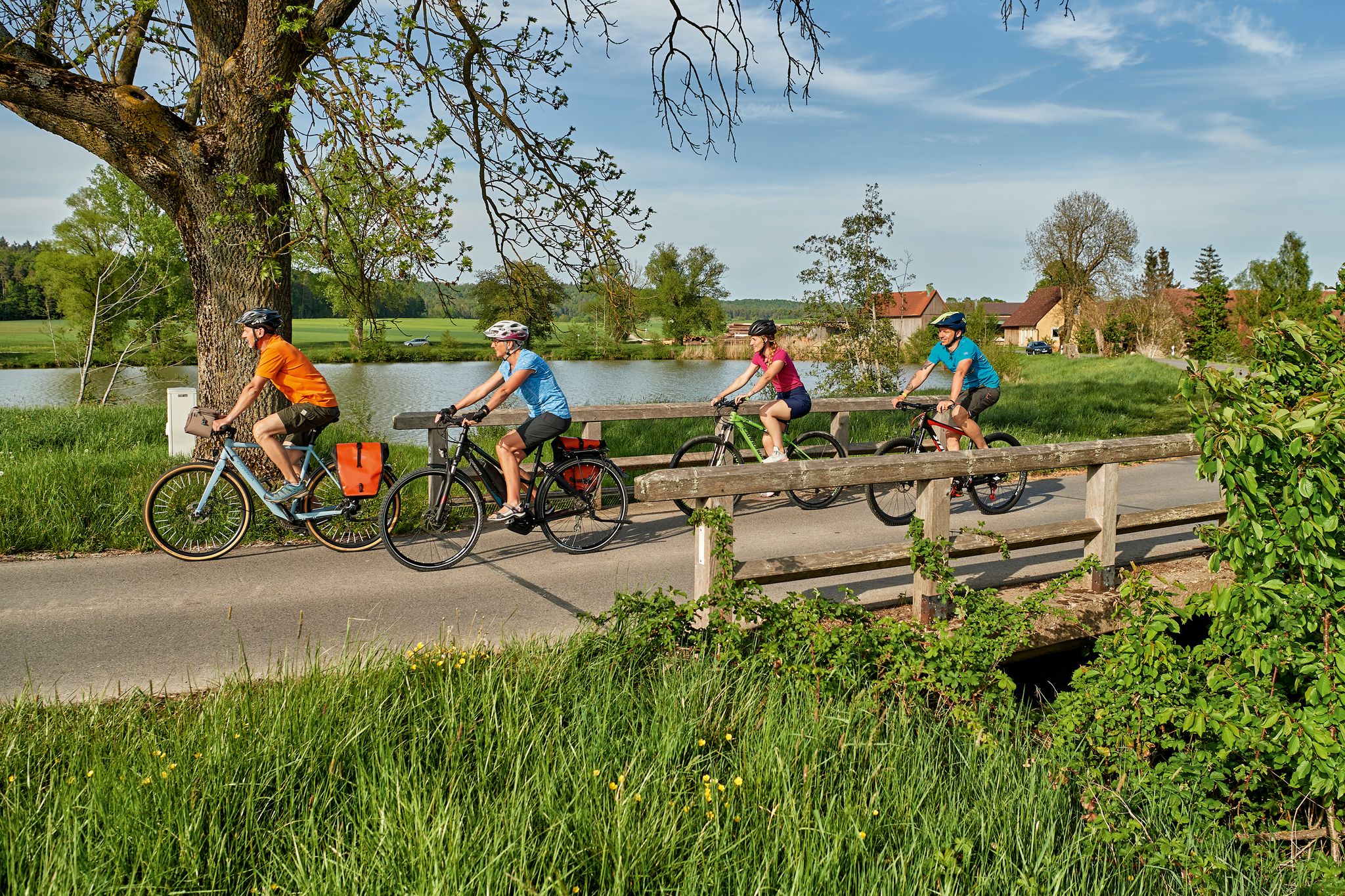
The Tauber Altmühl cycle path - cycling along two picturesque rivers
From A(ugsburg) to B(rodowin) – Cycling across Germany
Other adventures around Treuchtlingen


Tips from the Community

Great view of the town Wettelsheim in the Altmühltal
0
0

Nice little, well-kept church
0
0

Insert here if you want to paddle up the Altmühl and back, e.g. because you don't have a pick-up service. It's a beautiful section!
0
0

The Treuchtlingen City Castle is a Renaissance castle in Treuchtlingen in the Middle Franconian district of Weißenburg-Gunzenhausen. The City Castle is also historically referred to as Niedere Veste, in reference to the Obere Veste located further above. The building is registered in the Bavarian Monument List as a historical monument under the monument number D-5-77-173-23.[1] The address is Heinrich-Aurnhammer-Straße 3 and 5. The castle is the birthplace of Gottfried Heinrich zu Pappenheim, a cavalry general of the Thirty Years' War. The quote from Friedrich von Schiller's drama "Wallenstein's Death" is attributed to him: "Daran erkenn’ ich meine Pappenheimer" (By this I recognize my Pappenheimers). Today, the castle houses, among other things, the Museum of the City of Treuchtlingen.
1
0

Very beautiful little castle with a small park, definitely worth a visit if you are in Treuchtlingen.
1
0


Places like this make you think about how much human suffering has been caused by other people.
0
0

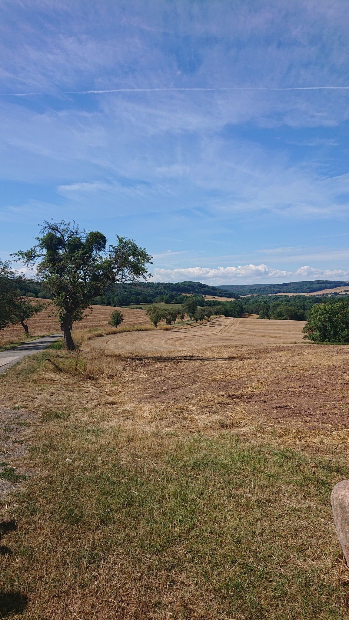
Panoramic view of the Altmühltal with Wettelsheim (left), Bubenheim, Graben (far right) from the foot of the Patrichberg
1
0
Frequently Asked Questions
How many hiking trails are accessible from bus stations around Treuchtlingen?
There are over 150 hiking trails around Treuchtlingen that are easily accessible from various bus stations. These routes cater to different fitness levels, ranging from easy strolls to more challenging treks through the diverse landscapes of the Altmühltal Nature Park.
Are there any easy or family-friendly hiking routes starting from a bus stop in Treuchtlingen?
Yes, Treuchtlingen offers several easy and family-friendly options. For example, the Jewish Cemetery, Treuchtlingen – Treuchtlingen Jewish Cemetery loop from Treuchtlingen is an easy route covering about 6.8 km, perfect for a relaxed outing. Many local circular trails also feature gentle terrain suitable for families.
What kind of landscapes can I expect to see on bus-accessible hikes near Treuchtlingen?
The region around Treuchtlingen, part of the Altmühltal Nature Park, offers a rich variety of landscapes. You can expect picturesque river valleys along the Altmühl, dense forests, juniper slopes, and striking geological formations like limestone cliffs. Many routes provide scenic views over the valley and its unique natural features.
Are there any circular hiking routes that I can start and end at a bus station?
Yes, many of the trails around Treuchtlingen are designed as circular routes, making them convenient for public transport users. An example is the Patrichberg – Patrichberg Quarry loop from Treuchtlingen, a moderate 10.3 km route that brings you back to your starting point.
What are some notable natural attractions or landmarks I can see along these bus-accessible trails?
Hikers can discover several significant natural and historical landmarks. A highlight is the impressive Twelve Apostles Rock Formation, a unique geological feature. You might also encounter sections of the historic Fossa Carolina (Karlsgraben) or enjoy views of Pappenheim Castle on certain routes.
Can I bring my dog on the hiking trails around Treuchtlingen?
Generally, dogs are welcome on most hiking trails in the Altmühltal Nature Park. It's always advisable to keep your dog on a leash, especially in nature protection areas, near wildlife, or when passing through agricultural land. Remember to carry water for your pet and dispose of waste properly.
What is the best time of year to go hiking from Treuchtlingen's bus stations?
Spring, summer, and autumn are ideal for hiking in Treuchtlingen. Spring brings blooming wildflowers, summer offers lush greenery, and autumn transforms the landscape with vibrant colors. While winter hiking is possible, some trails might be icy or muddy, so check conditions and dress appropriately.
Are there any moderate or challenging routes accessible by bus for more experienced hikers?
Absolutely. For those seeking a more challenging experience, routes like the St. Gunthildis Chapel – Micheltal Spring loop from Schambachried offer moderate difficulty with varied terrain and elevation changes. Many trails in the region feature ascents to plateaus, providing rewarding views.
What do other hikers enjoy most about the trails around Treuchtlingen?
The area is highly rated by the komoot community, with an average score of 4.47 stars. Reviewers often praise the well-maintained trails, the diverse natural beauty of the Altmühl valley, and the historical points of interest that add cultural depth to the hikes. The accessibility by public transport is also frequently highlighted as a major convenience.
Where can I find more information about bus schedules for accessing these trailheads?
For detailed information on bus schedules and public transport connections to the trailheads around Treuchtlingen, it is best to consult the local public transport provider's website or the official tourism website for Treuchtlingen. You can find general information about the region's offerings at tourismus-treuchtlingen.de.
Are there any routes that pass by historical sites or Roman remains?
Yes, the region has a rich history. Some routes may lead you past Roman forts or sections of the Fossa Carolina (Karlsgraben), an early medieval canal project. These historical elements offer a unique cultural dimension to your hike through the natural landscape.
Most popular routes around Treuchtlingen
Most popular attractions around Treuchtlingen

Get inspired with the komoot mobile app


Explore more
Browse the best Hikes in other regions.
