The best traffic-free bike rides around Crailsheim
4.5
(1363)
7,821
riders
187
rides
No traffic touring cycling routes around Crailsheim traverse a landscape characterized by rolling hills, picturesque valleys, and extensive forests. The region, nestled in Baden-Württemberg, Germany, features the idyllic Jagst Valley with its river paths and dense woodlands. Cyclists can explore the natural beauty of the Frankenhöhe Nature Park and the serene forests of the Ellwanger Berge. This diverse terrain offers varied experiences for touring cyclists seeking routes away from traffic.
Best no traffic touring cycling routes around Crailsheim
- The most…
Last updated: July 10, 2026
4.9
(55)
221
riders
62.1km
03:58
460m
460m
Hard bike ride. Very good fitness required. Mostly paved surfaces. Suitable for all skill levels.
4.8
(14)
76
riders
58.4km
03:36
390m
390m
Moderate bike ride. Good fitness required. Mostly paved surfaces. Suitable for all skill levels.

Sign up for free
4.7
(20)
90
riders
30.7km
01:51
180m
180m
Moderate bike ride. Good fitness required. Mostly paved surfaces. Suitable for all skill levels.
4.9
(17)
64
riders
44.9km
02:56
270m
270m
Moderate bike ride. Good fitness required. Mostly paved surfaces. Suitable for all skill levels.
4.4
(42)
170
riders
Moderate bike ride. Good fitness required. Mostly paved surfaces. Suitable for all skill levels.
Get access to more routes and recommendations from other explorers.
Sign up for free
Already have an account?
Our route recommendations are based on thousands of hikes, rides, and runs completed by other people on komoot.
Start today with a free account
Your next adventure awaits.
Login or Signup
Popular around Crailsheim

Germany's Hohenlohe-Ostalb Cycle Route – From idyllic valleys to the Swabian Alb
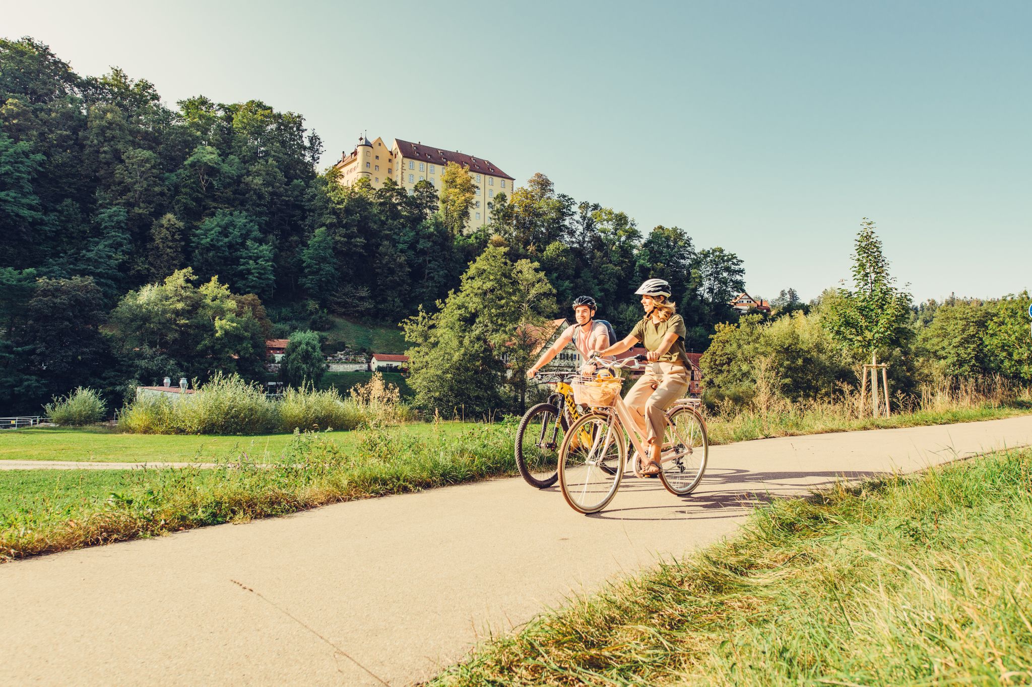
6 stages on the Kocher-Jagst cycle path through southern Germany
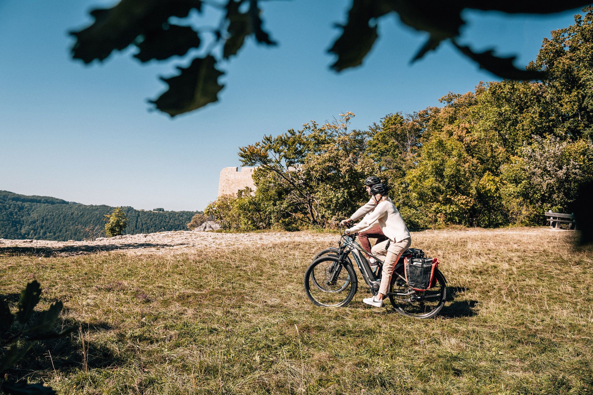
Breathe in the mountain air – long-distance cycle paths in the Swabian Alb
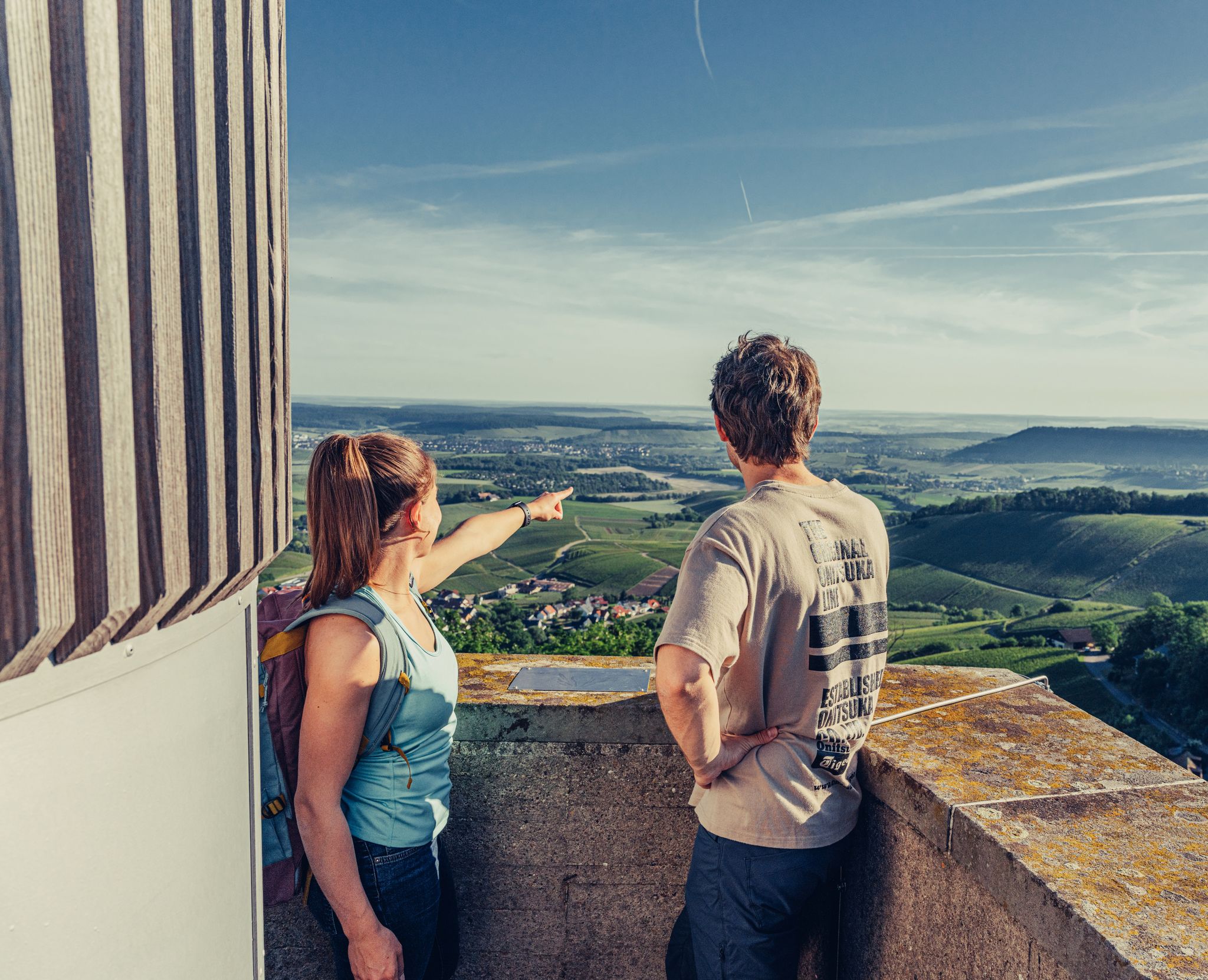
Ride to the most beautiful viewpoints in northern Baden-Württemberg
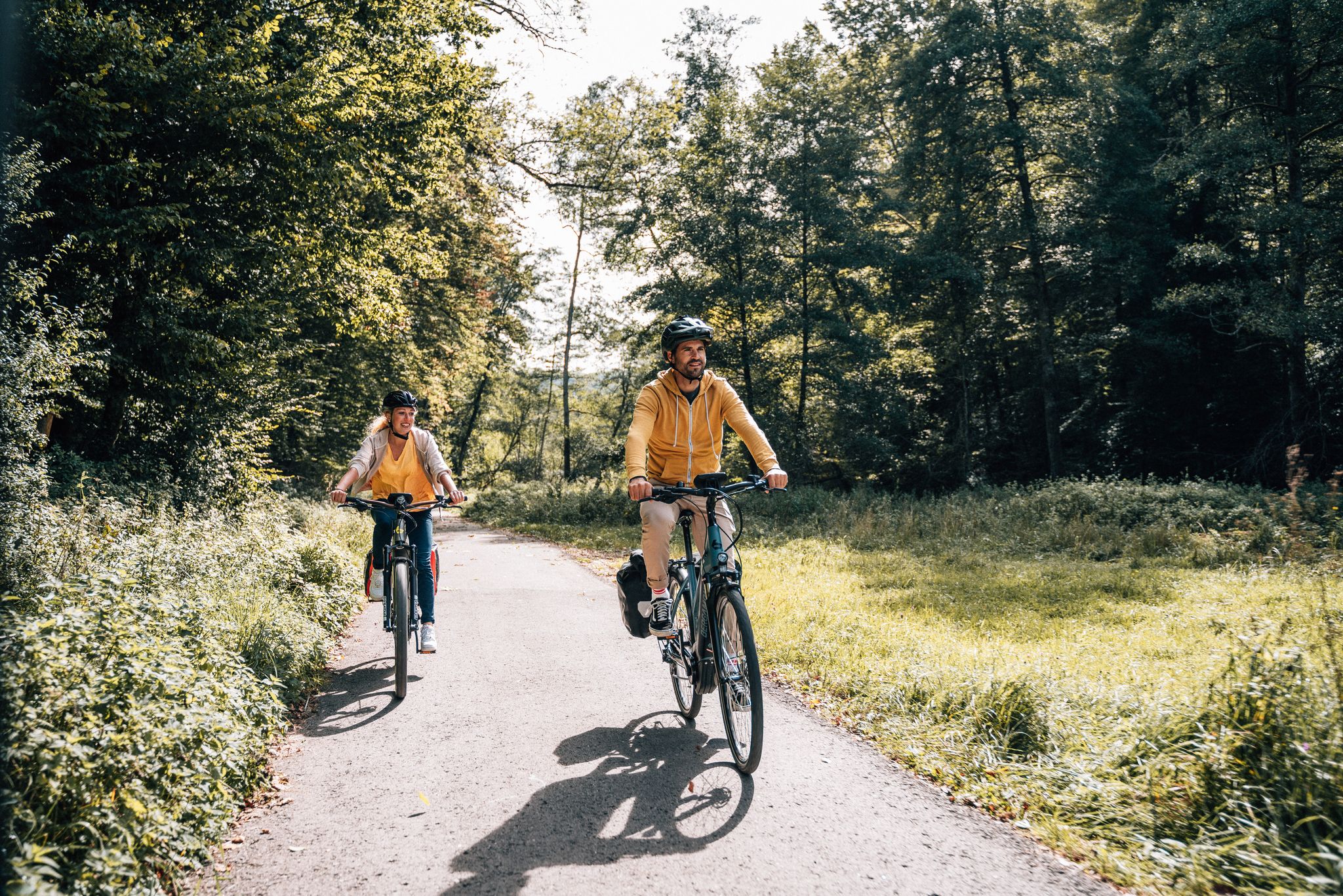
Cycle touring trio in the Swabian Alb
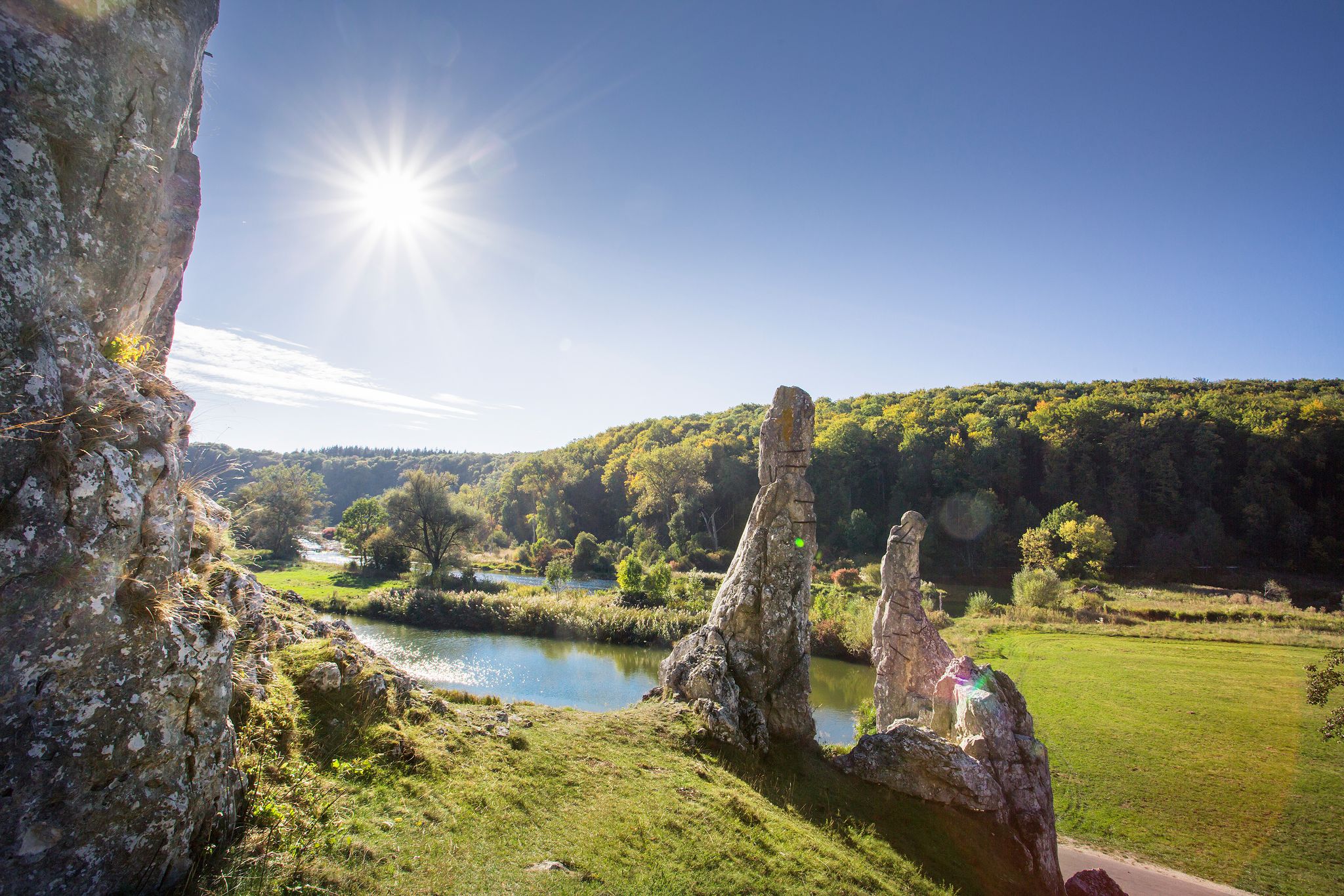
Picturesque valleys on Germany’s Württemberg Valley Cycle Path
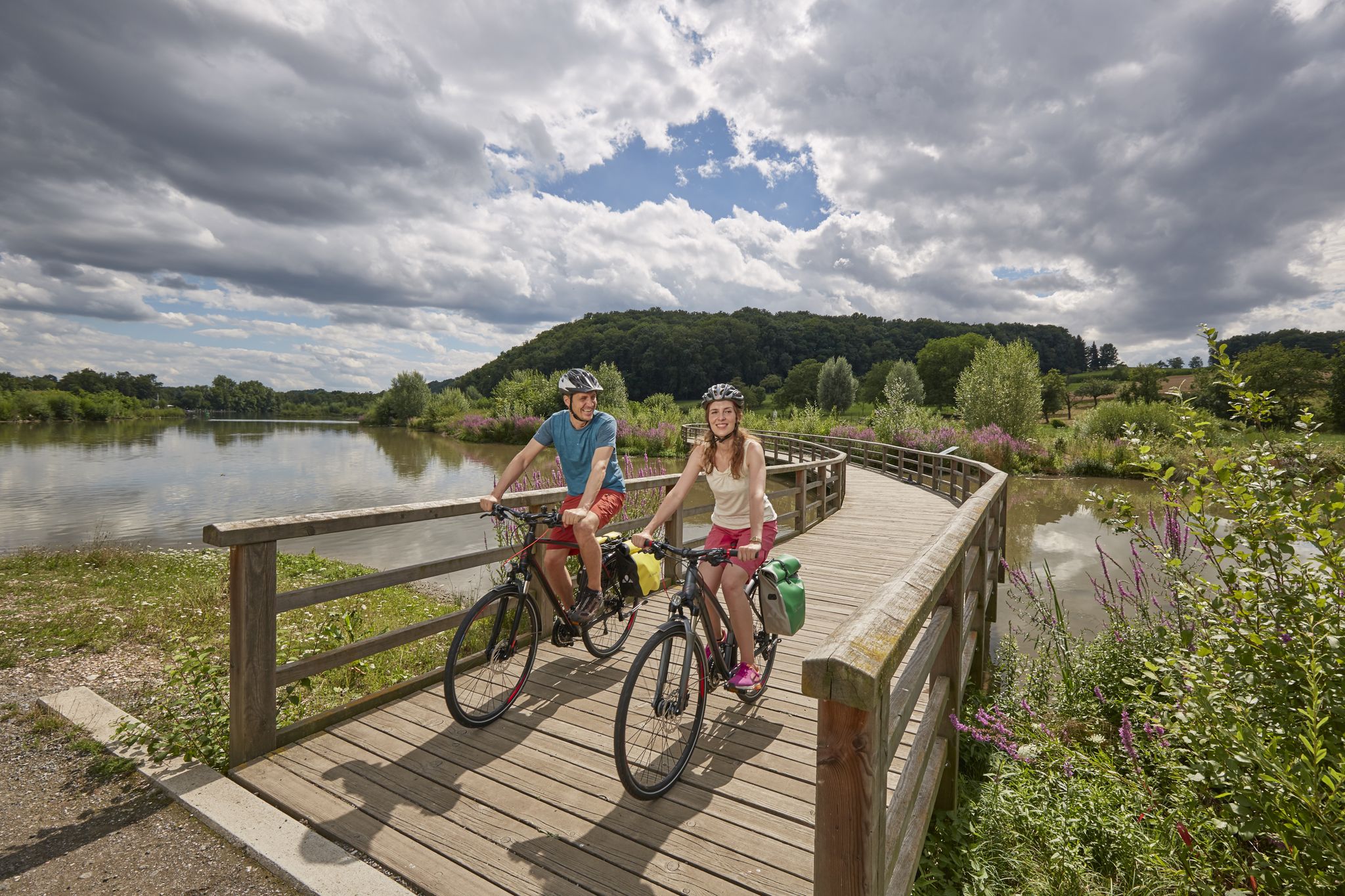
Long-distance cycle routes in Baden-Württemberg – endless rivers and lakes
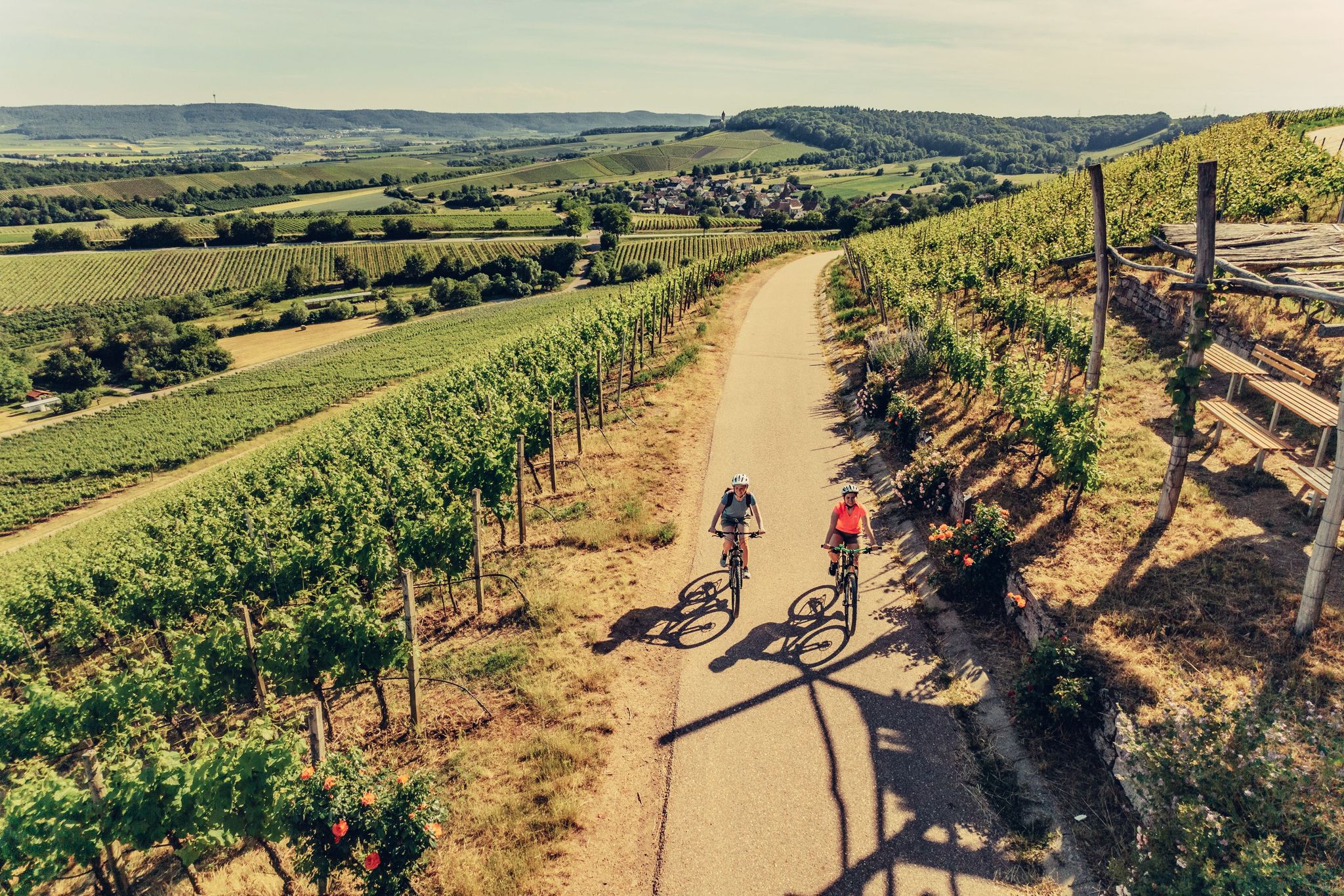
E-bike day Tours along the Tauber, Kocher, Jagst and Neckar rivers
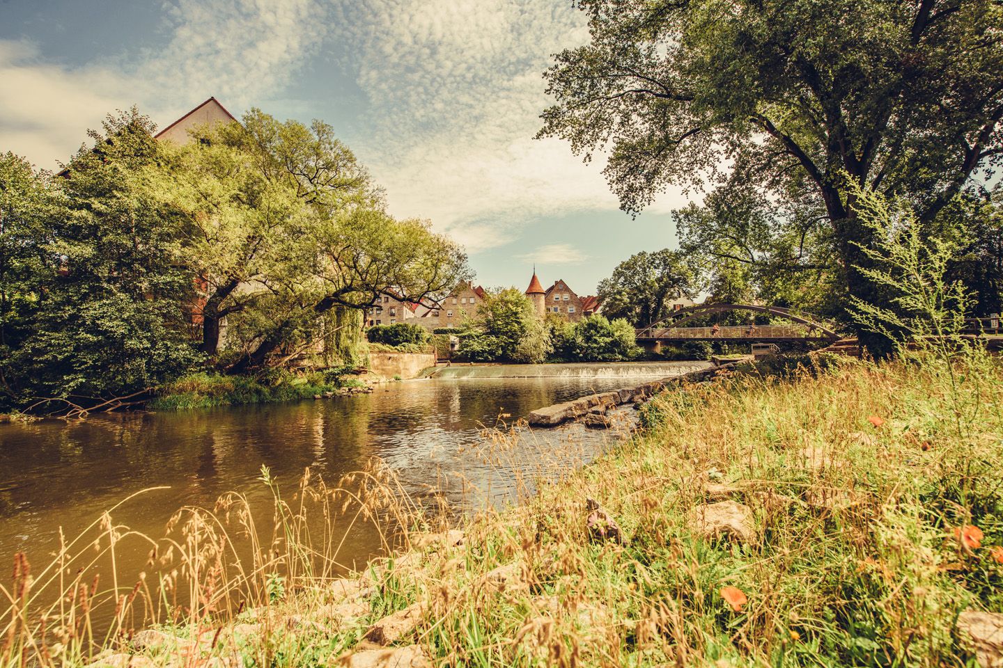
Relaxed river riding in Germany – Kocher-Jagst Cycle Path

Main-Danube-Lake Constance Trail – Along iconic waters
Other adventures around Crailsheim


Tips from the Community

The Bottomless Hole is a summit karst spring
0
0

The **Jewish Cemetery Michelbach an der Lücke** is an important historical memorial site in the district of Schwäbisch Hall. ### History The cemetery was established **around 1840/41**, as the Jewish community previously had to bury their dead in distant Schopfloch. The **first burial took place in 1841**, the **last in 1939**. It served not only Michelbach but also surrounding communities without their own cemetery. ### Appearance The site covers approximately **2,300 m²** and comprises around **270 gravestones**. It is surrounded by a wall and divided by paths. As is customary in Jewish cemeteries, the graves are preserved permanently and are not reused. ### Significance The cemetery is a central testament to the once large Jewish community in Michelbach. After its destruction during the Nazi era, it remained as a silent place of remembrance. ### Conclusion Today, the cemetery commemorates Jewish life in the region and holds great cultural and historical significance.
0
0

Exciting legend🧜 💦 In sunshine, you can see to the bottom along the edges of the "Bottomless Hole" and observe the water plants and small fish 🐟. Only approx. 100m from the cycle path that leads to Rothenburg, and therefore a clear recommendation for everyone who hikes 🥾 or cycles 🚵🏽♀️🙃 nearby.
0
0

Nice resting place before the gates of Eckartshausen
1
0

Central Square at the Cathedral
0
0
One of several beautiful and well-preserved old fountains
0
0
A classic photo in summer and winter
1
0

A very beautiful old town to explore.
0
0
Frequently Asked Questions
How many no-traffic touring cycling routes are available around Crailsheim?
There are over 170 dedicated touring cycling routes around Crailsheim that prioritize low or no traffic, perfect for a peaceful ride. These routes cater to various skill levels, with 61 easy, 84 moderate, and 29 difficult options.
What is the best time of year for traffic-free touring cycling in Crailsheim?
The best seasons for touring cycling in Crailsheim are spring and summer. During these months, the weather is generally pleasant, and nature is in full bloom, offering optimal conditions to explore the region's trails and routes along the Jagst Valley and through the Frankenhöhe Nature Park.
Are there any circular no-traffic touring bike trails in Crailsheim?
Yes, many of the no-traffic touring routes around Crailsheim are circular, allowing you to start and end at the same point. An example is the moderate route, Marienbrunnen on the Burgberg – View of Burgberg loop from Crailsheim, which offers a scenic 33 km ride.
What attractions can I see along the no-traffic touring cycling routes?
Crailsheim's no-traffic routes often pass by interesting historical and natural sights. You can discover the Ockenauer Steg Covered Wooden Bridge, explore the Historic Old Town of Kirchberg an der Jagst, or enjoy the serene views of Orrotsee. Many routes also feature charming villages and picturesque river courses.
Are there family-friendly no-traffic touring bike trails near Crailsheim?
Yes, Crailsheim offers several easy and moderate no-traffic routes suitable for families. These trails often follow the idyllic river paths of the Jagst Valley, providing a safe and enjoyable environment away from car traffic. Look for routes with lower elevation gains and shorter distances for younger riders.
Can I find routes that pass by lakes or rivers?
Absolutely. The region is characterized by its beautiful river courses, especially the Jagst Valley, and numerous lakes and ponds. Many no-traffic touring routes, such as the Cycle Path to Orrotsee – Orrotsee loop from Crailsheim, will take you along these scenic waterways, offering tranquil views and opportunities for breaks by the water.
What do other touring cyclists enjoy most about cycling in Crailsheim?
The komoot community highly rates touring cycling in Crailsheim, with an average score of 4.5 stars from over 1200 ratings. Reviewers often praise the region's diverse landscapes, the well-developed cycling infrastructure, and the peaceful, traffic-free nature of many routes, especially those winding through the Jagst Valley and the Ellwanger Berge forests.
Are there any longer, more challenging no-traffic touring routes for experienced cyclists?
Yes, for experienced touring cyclists seeking a longer, traffic-free challenge, Crailsheim offers several options. The Cycle Path to Orrotsee – Orrotsee loop from Crailsheim is a difficult 62 km route with over 450 meters of elevation gain, providing a rewarding experience through varied terrain.
Can I combine a no-traffic touring bike route with a visit to a historic town?
Many routes around Crailsheim allow for cultural stops. For instance, the moderate Dinkelsbühl Old Town – Rothenburger Gate loop from Wacholderberg - Geigerswasen takes you near the charming historic town of Dinkelsbühl, known for its well-preserved medieval architecture, offering a perfect blend of cycling and sightseeing.
Are there any routes that explore the natural parks around Crailsheim?
Crailsheim provides excellent access to natural parks. Many no-traffic routes extend into the beautiful Frankenhöhe Nature Park, offering scenic rides through forests and open landscapes. You can immerse yourself in nature and enjoy the tranquility of these protected areas on two wheels.
What kind of terrain can I expect on the no-traffic touring routes?
The terrain around Crailsheim is diverse, ranging from idyllic river paths along the Jagst Valley to rolling hills and extensive forests in areas like the Ellwanger Berge. You can expect a mix of paved cycle paths, gravel tracks, and quiet country roads, all designed to keep you away from heavy traffic.
Are there any routes that offer views of significant landmarks or viewpoints?
Yes, several routes are designed to showcase the region's beauty. The moderate Marienbrunnen on the Burgberg – View of Burgberg loop from Crailsheim, for example, provides excellent views from the Burgberg, allowing you to appreciate the picturesque countryside around Crailsheim.
Most popular routes around Crailsheim
Most popular attractions around Crailsheim

Get inspired with the komoot mobile app


Explore more
Browse the best Cycling routes in other regions.
