The best hikes from bus stations around Crailsheim
4.6
(4008)
16,241
hikers
267
hikes
Hiking around Crailsheim offers diverse landscapes, situated in the Jagst river valley and bordering the Frankenhöhe Nature Park. The region is characterized by rolling hills, picturesque valleys, and extensive forests, providing a scenic backdrop for various trails. Key natural features include the Jagst river, which carves idyllic valleys, and the geological Muschelkalk pyramid, showcasing local rock formations. These bus station hiking trails provide access to a mix of natural and cultural attractions.
Best bus station hiking trails around Crailsheim
- The…
Last updated: June 26, 2026
4.8
(69)
227
hikers
Moderate hike. Good fitness required. Easily-accessible paths. Suitable for all skill levels.
4.7
(20)
84
hikers
Moderate hike. Good fitness required. Easily-accessible paths. Suitable for all skill levels.

Sign up for free
4.8
(21)
61
hikers
Hard hike. Very good fitness required. Easily-accessible paths. Suitable for all skill levels.
4.6
(15)
61
hikers
7.25km
02:00
130m
130m
Moderate hike. Good fitness required. Easily-accessible paths. Suitable for all skill levels.
4.9
(19)
71
hikers
Easy hike. Great for any fitness level. Easily-accessible paths. Suitable for all skill levels.
Get access to more routes and recommendations from other explorers.
Sign up for free
Already have an account?
Our route recommendations are based on thousands of hikes, rides, and runs completed by other people on komoot.
Start today with a free account
Your next adventure awaits.
Login or Signup
Popular around Crailsheim

Main-Danube-Lake Constance Trail – Along iconic waters

Germany's Hohenlohe-Ostalb Cycle Route – From idyllic valleys to the Swabian Alb
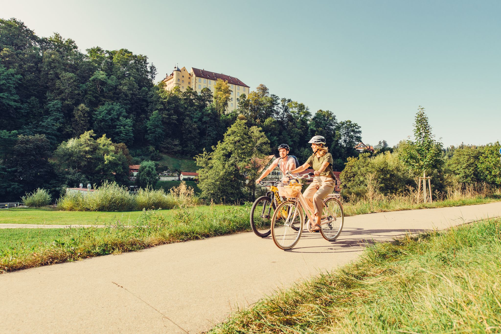
6 stages on the Kocher-Jagst cycle path through southern Germany
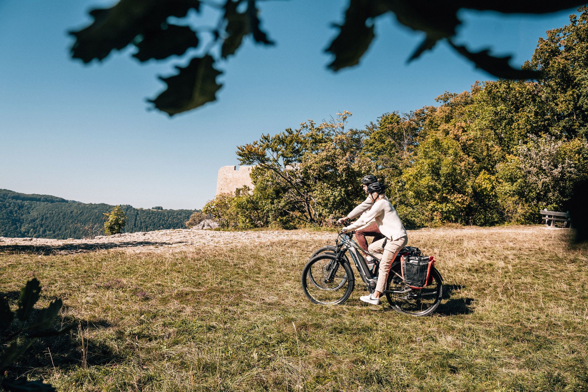
Breathe in the mountain air – long-distance cycle paths in the Swabian Alb
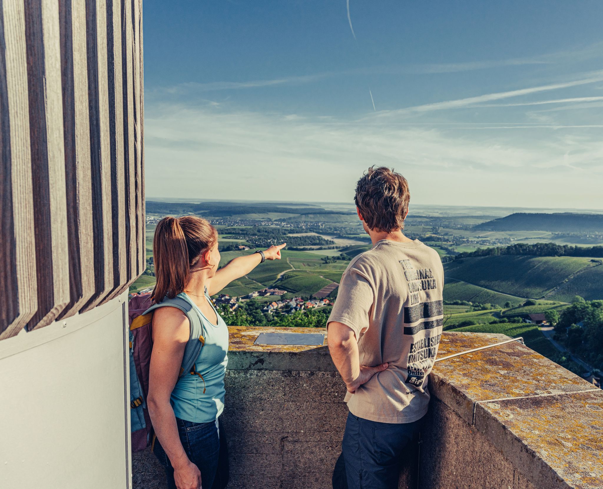
Ride to the most beautiful viewpoints in northern Baden-Württemberg
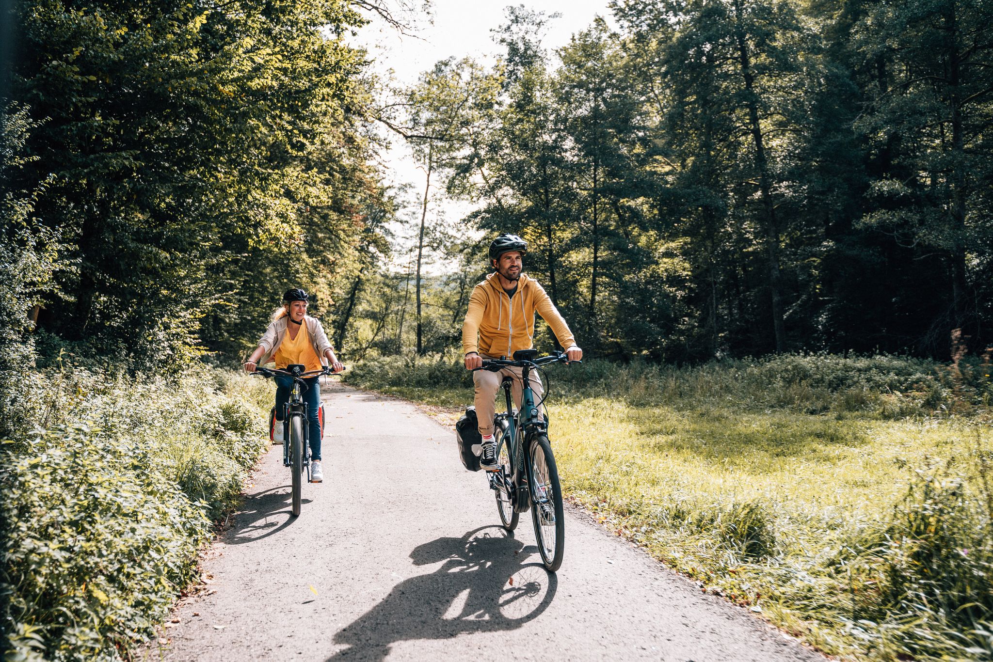
Cycle touring trio in the Swabian Alb
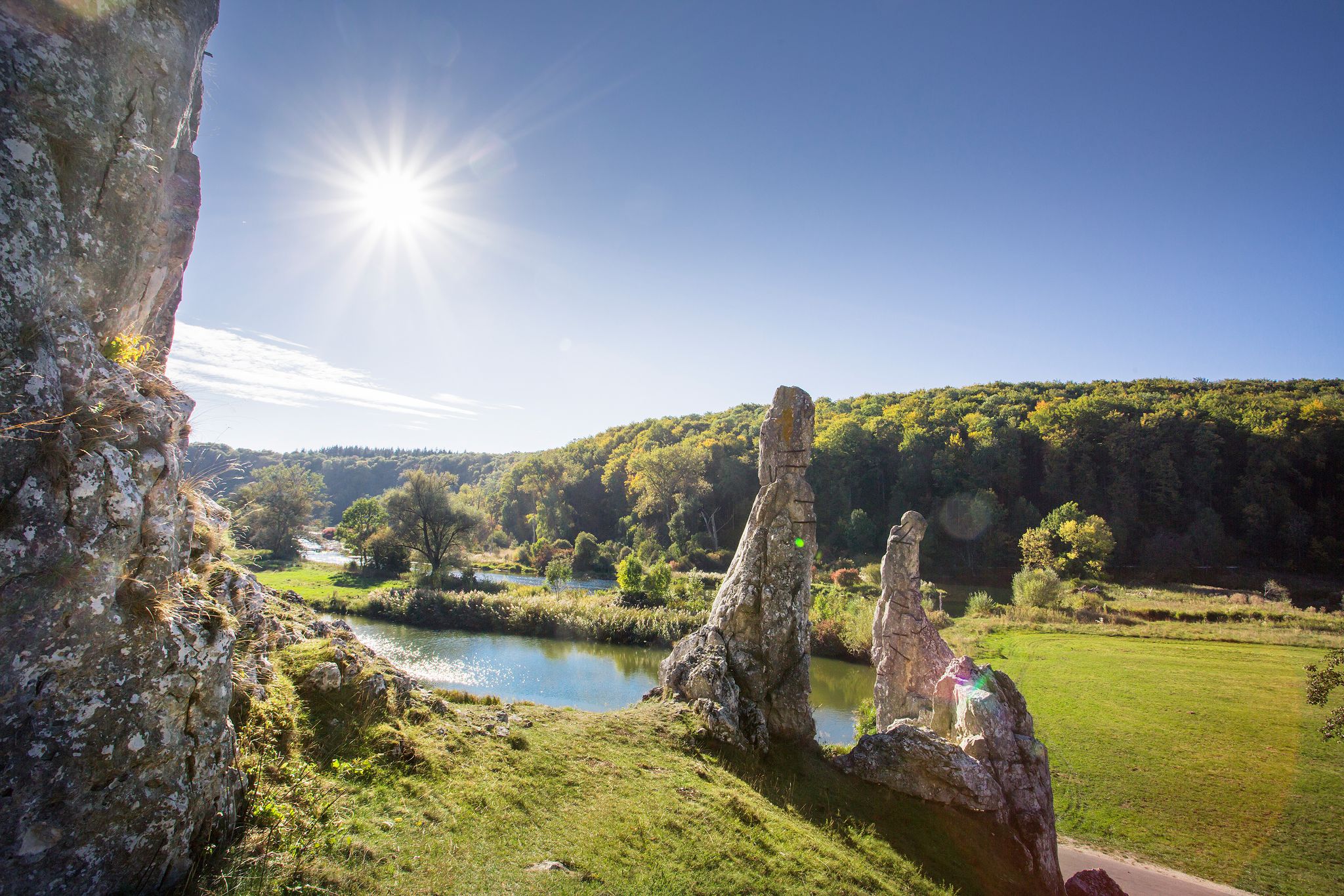
Picturesque valleys on Germany’s Württemberg Valley Cycle Path
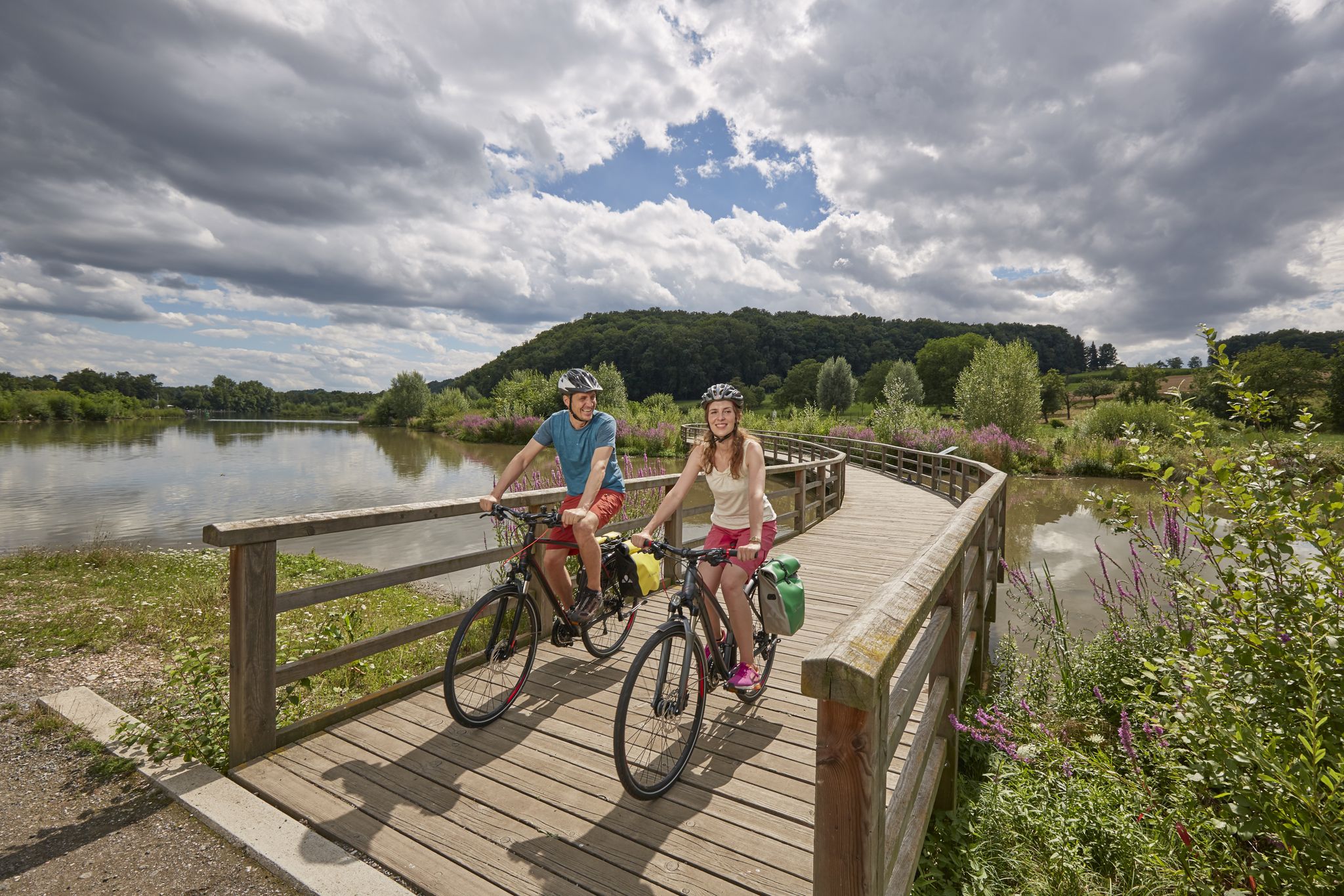
Long-distance cycle routes in Baden-Württemberg – endless rivers and lakes
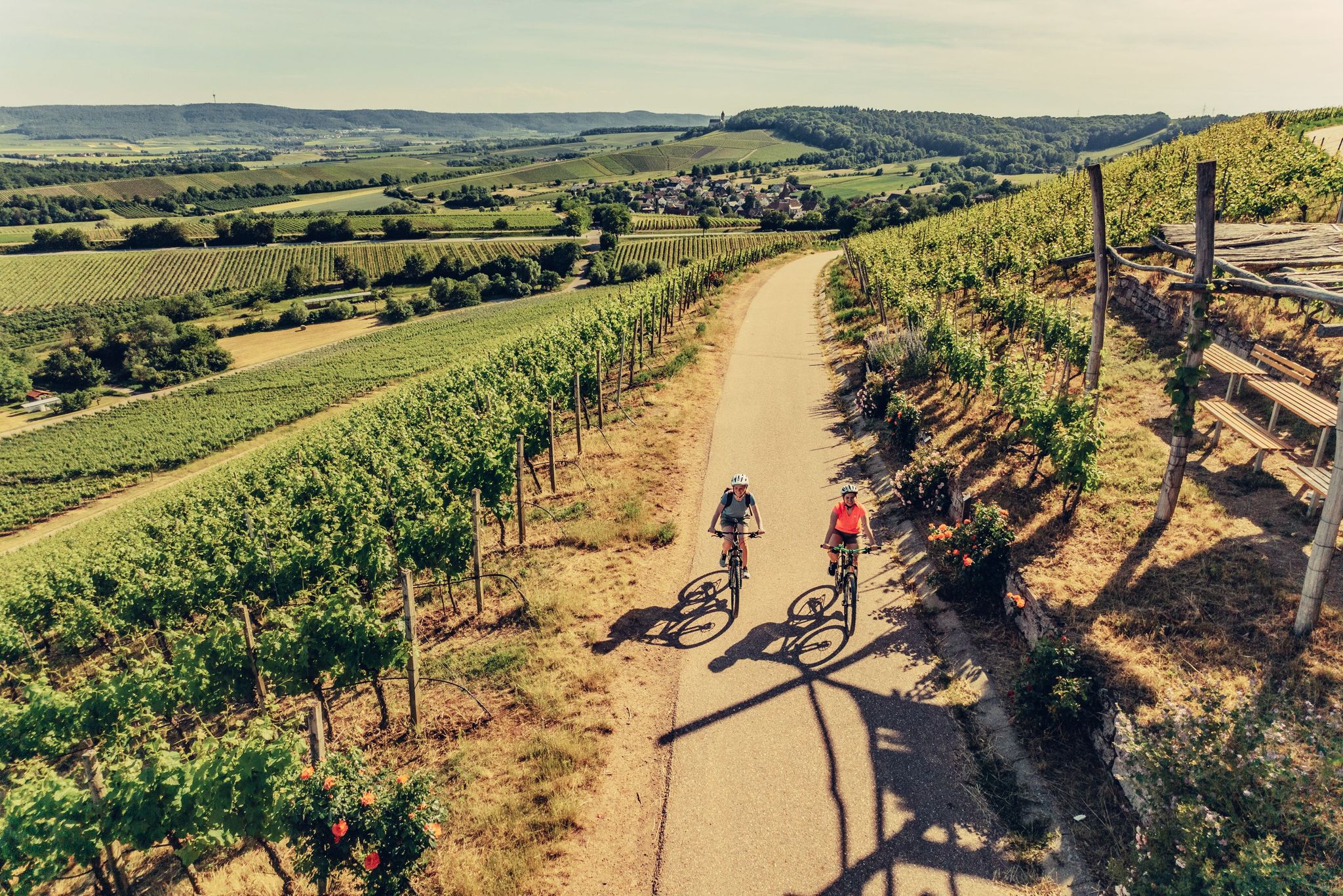
E-bike day Tours along the Tauber, Kocher, Jagst and Neckar rivers
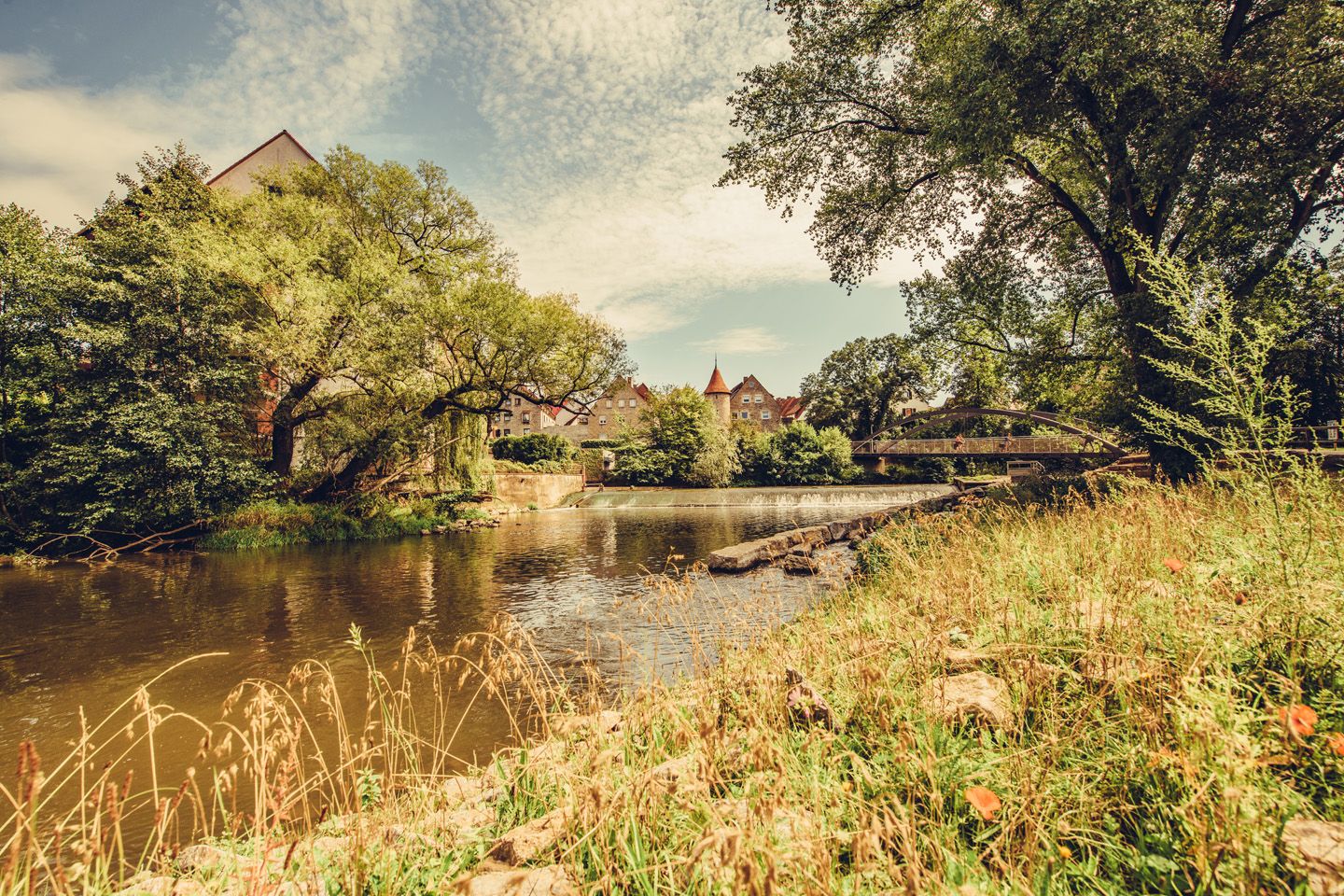
Relaxed river riding in Germany – Kocher-Jagst Cycle Path
Other adventures around Crailsheim


Tips from the Community

Great destination. Drinks, some food and a great view. Clear recommendation!
0
0

A beautiful castle, worth a visit. There's also a restaurant and a café there.
4
0

Always worth a visit in good weather. Delicious iced coffee included.
2
0

wonderful flower avenue at the end of Crailsheim towards Goldbach
0
0

absolutely gorgeous when the wild garlic blooms
0
0
Be sure to bring your own snacks and drinks, as there are hardly any opportunities to stop for refreshments
0
0

To commemorate the 25th anniversary of the reign of King Wilhelm II of Württemberg (reigned 1891-1918), a bust was erected here on the Burgberg tower.
0
0
Frequently Asked Questions
How many bus-accessible hiking trails are there around Crailsheim?
There are over 270 hiking trails around Crailsheim that are easily accessible by bus, offering a wide range of options for all skill levels. You'll find everything from easy strolls to more challenging routes.
Are there easy hiking trails accessible by bus in Crailsheim?
Yes, Crailsheim offers many easy hiking trails that are perfect for a relaxed outing and can be reached by bus. One excellent option is the Crailsheim Planetary Trail, which is suitable for all fitness levels and provides beautiful views of the town. There are over 150 easy routes available.
What kind of natural features can I expect to see on bus-accessible hikes in the Crailsheim region?
The Crailsheim region, situated in the Jagst river valley and near the Frankenhöhe Nature Park, boasts diverse natural features. You can explore the idyllic Jagsttal with its unspoiled river landscapes, extensive forests like the Eichwald and Kappelwald, and picturesque meadows. Keep an eye out for unique geological formations such as the Muschelkalk pyramid. Many trails also offer panoramic views, for instance, from the Wilhelmshöhe or Igelshof.
Are there any family-friendly hiking trails accessible by bus?
Absolutely! The region has several family-friendly options. While not explicitly listed in the routes provided, the Crailsheim Planetary Trail is known to be an easy hike suitable for all ages. The broader region also features trails like the Märchenweg (Fairy Tale Trail), designed with interactive stations to engage younger hikers, which are often accessible via local bus routes.
Can I bring my dog on these bus-accessible hiking trails?
Generally, dogs are welcome on hiking trails around Crailsheim. However, it's always recommended to keep your dog on a leash, especially in nature protection areas, near wildlife, or when passing through agricultural land. When using public transport, please check the specific bus operator's rules regarding pets.
What are some notable viewpoints or landmarks along bus-accessible routes?
Many bus-accessible routes offer fantastic viewpoints and lead past interesting landmarks. For instance, the Markgraf Oak – Burgberg Tower loop takes you to the Burgberg Tower, offering great views. You can also enjoy views of historic sites like Ruins of St. Bartholomäus Church, Anhausen, or explore the natural beauty of Orrotsee and Degenbachsee, which are often near bus stops.
What is the best season for hiking from bus stations in Crailsheim?
The best seasons for hiking in Crailsheim are typically spring and autumn. During these times, the mild temperatures and vibrant natural displays, such as blooming meadows in spring or colorful foliage in autumn, greatly enhance the hiking experience. However, many trails are also enjoyable in summer and winter, depending on weather conditions.
Are there any longer or more challenging bus-accessible hikes available?
Yes, for those seeking a greater challenge, there are moderate and difficult routes accessible by bus. An example of a more demanding route is the Ockenauer Steg Covered Wooden Bridge loop, which covers over 23 km with significant elevation changes. The region offers 109 moderate and 11 difficult routes.
What do other hikers enjoy most about the bus-accessible trails in Crailsheim?
The bus-accessible trails in Crailsheim are highly rated by the komoot community, with an average score of 4.58 stars from over 3,700 ratings. Reviewers often praise the diverse landscapes, the tranquility of the forests and river valleys, and the convenience of reaching trailheads via public transport.
Are there circular hiking routes that can be started from a bus station?
Yes, many of the hiking routes accessible by bus around Crailsheim are circular, allowing you to start and end your hike at the same bus stop. This makes planning your trip very convenient. Examples include the Kirchberg Castle on the Jagst loop or the Bat shelter in the Jagst Valley loop, both offering scenic circular experiences.
Most popular routes around Crailsheim
Most popular attractions around Crailsheim

Get inspired with the komoot mobile app


Explore more
Browse the best Hikes in other regions.
