The best hikes from bus stations around Bensheim
4.7
(6762)
27,797
hikers
265
hikes
Bus station hiking trails around Bensheim offer access to a diverse landscape at the transition between the Bergstrasse and Odenwald mountains. The region features rolling hills, extensive vineyards, and dense forests. Hikers can explore unique geological formations like the Felsenmeer and enjoy expansive views across the Rhine plain. This area provides varied terrain for outdoor activities, from gentle walks to more challenging ascents.
Best bus station hiking trails around Bensheim
- The most popular bus station hiking route is View over…
Last updated: June 26, 2026
4.8
(230)
883
hikers
16.8km
05:05
560m
560m
Hard hike. Very good fitness required. Easily-accessible paths. Suitable for all skill levels.
4.8
(202)
1,015
hikers
5.42km
01:33
130m
130m
Easy hike. Great for any fitness level. Easily-accessible paths. Suitable for all skill levels.

Sign up for free
4.5
(93)
287
hikers
5.76km
01:48
210m
210m
Moderate hike. Great for any fitness level. Mostly accessible paths. Sure-footedness required.
4.7
(65)
269
hikers
10.4km
03:01
270m
270m
Moderate hike. Good fitness required. Easily-accessible paths. Suitable for all skill levels.
4.9
(29)
179
hikers
5.16km
01:29
130m
130m
Easy hike. Great for any fitness level. Easily-accessible paths. Suitable for all skill levels.
Get access to more routes and recommendations from other explorers.
Sign up for free
Already have an account?
Our route recommendations are based on thousands of hikes, rides, and runs completed by other people on komoot.
Start today with a free account
Your next adventure awaits.
Login or Signup
Popular around Bensheim
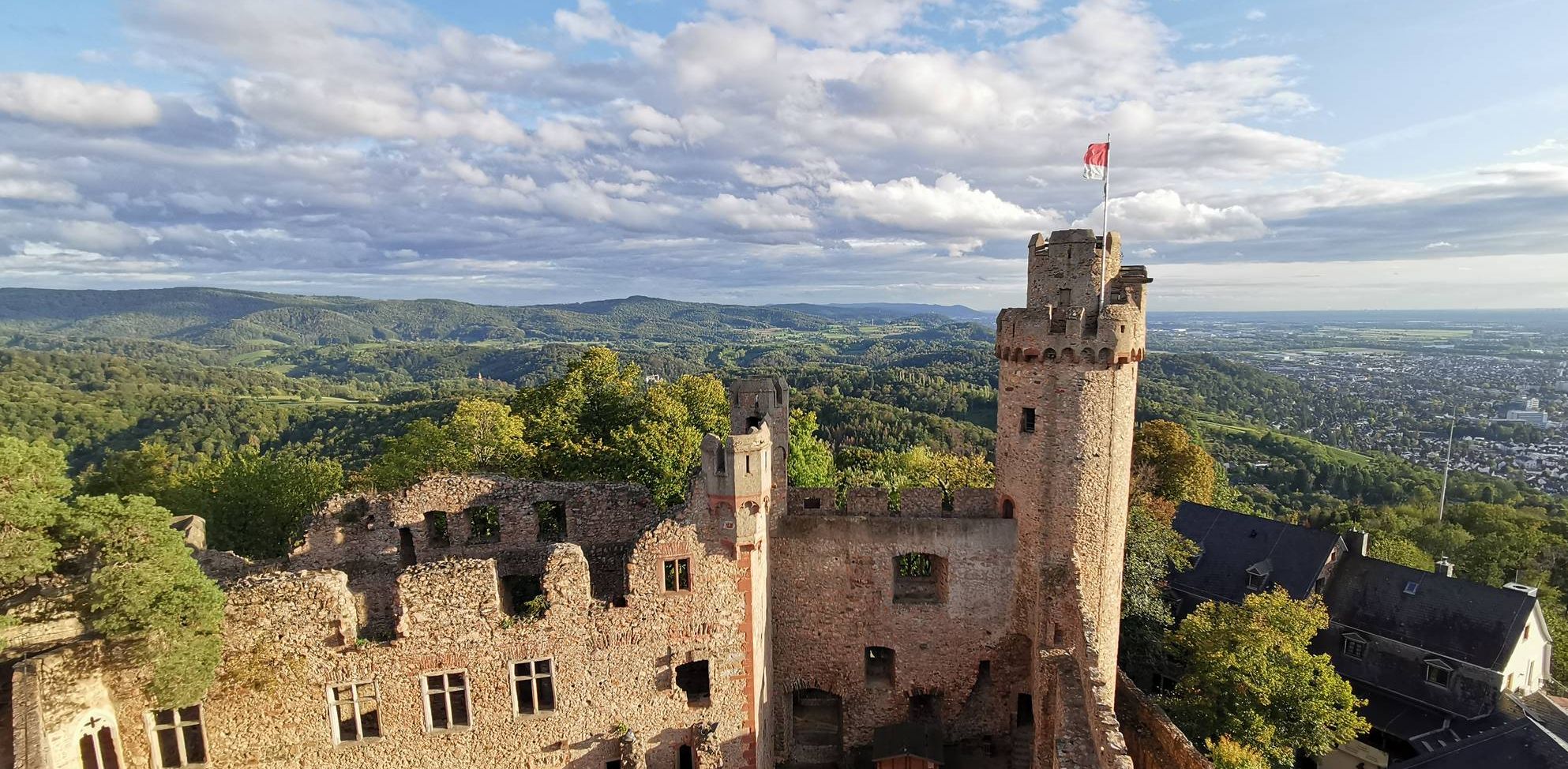
Burgensteig Bergstraße – In the footsteps of knights, hiking in 9 stages
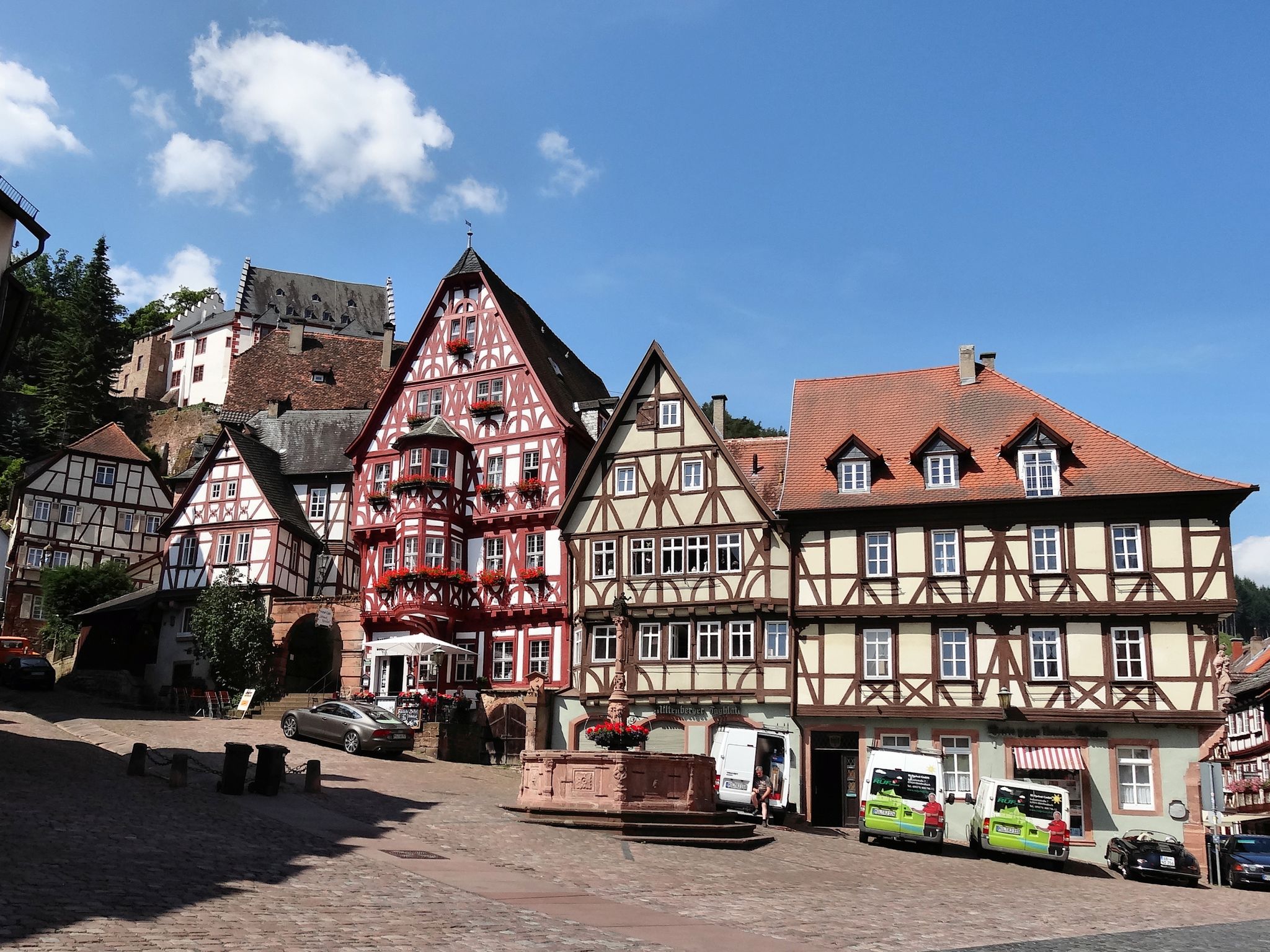
Give me four! - The Four-Country-Way

#GoFurther – discover the views of Germany!
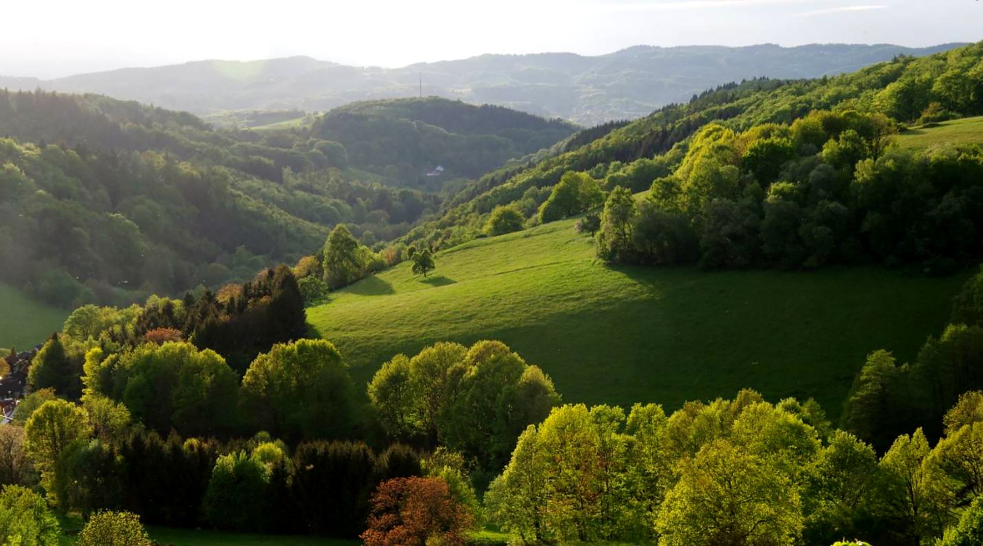
Breathtaking landscapes – a double dose of adventure on the Trans Odenwald
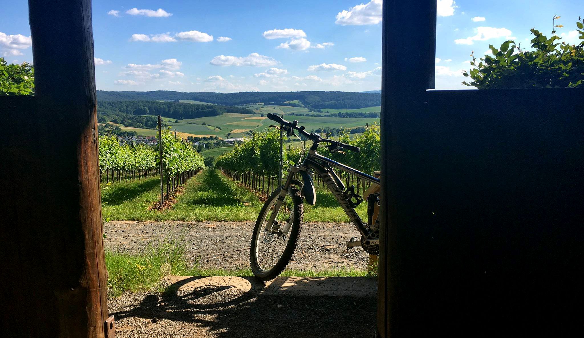
Twelve undiscovered mountain bike gems in the Odenwald and on the Bergstrasse
Other adventures around Bensheim


Tips from the Community

Great panoramic view of the Odenwald and the Hessian Ried.
0
0
A pleasant walk, it leads into the Knodener Höhenweg (Knoden High Trail).
0
0

Here you can see what awaits you and what you can see…
1
0

Beautiful view over the vineyards and towards Starkenburg
0
0
From here you also have a beautiful view of Heppenheim
0
0
One of the great buildings in the Prince's Camp
0
0
From here you can also see the Starkenburg
0
1
A beautiful path to walk in any season
0
0
Frequently Asked Questions
How many bus-accessible hiking trails are there around Bensheim?
There are over 270 hiking routes around Bensheim that are easily accessible from bus stations, offering a wide range of experiences for all skill levels.
Are there easy hiking trails accessible by bus from Bensheim?
Yes, Bensheim offers a significant number of easy hiking trails accessible by bus. With over 190 routes classified as easy, you'll find plenty of options for relaxed walks. A great example is the Fürstenlager State Park loop from Bensheim, which is an easy 5.4 km route perfect for a leisurely stroll.
What kind of landscapes can I expect on bus-accessible hikes near Bensheim?
Hikes accessible by bus around Bensheim offer diverse landscapes. You can expect picturesque routes through extensive vineyards, especially along the 'Hessian Bergstraße', dense forests of the Odenwald, and trails with expansive views across the Rhine plain. The region's mild climate, often called the 'German Riviera', enhances the outdoor experience.
Are there any family-friendly hiking trails accessible by bus?
Absolutely. Many trails are suitable for families. The unique geological formation of the Felsenmeer (Sea of Rocks) near Reichenbach is a popular spot for both adults and children, with a dedicated 'Felsenmeer-Rundweg' and an adventure playground. While not directly listed in the routes, local bus services can connect you to this area for a memorable family outing.
What historical sites or landmarks can I see on these bus-accessible hikes?
The region is rich in history. Many routes lead past historic sites like Auerbach Castle. For example, the Auerbach Castle loop from Bensheim is a moderate 5.7 km hike that takes you past this impressive landmark. You might also encounter the Bismarck Tower on the Hemsberg or the Blue Tower. For stunning views, consider visiting the View over the Rhine Plain from Melibokus, which can be incorporated into longer routes like the Auerbach Castle – Melibokus Observation Tower loop.
Are there circular hiking routes that start and end at a bus station?
Yes, many of the bus-accessible routes around Bensheim are circular, allowing you to start and end your hike conveniently at the same bus stop. This is ideal for exploring without needing to arrange return transport. The Schönberg Cross – View of the Odenwald Hills loop from Bensheim is a moderate 10.3 km circular route that offers scenic views.
What is the best time of year to go hiking in Bensheim?
Bensheim's mild climate makes it suitable for hiking for much of the year. Spring is beautiful with wildflowers, and autumn offers vibrant foliage in the vineyards and forests. The 'German Riviera' climate means pleasant conditions often extend into late autumn. Even in winter, some trails are accessible, especially the easier, lower-elevation routes.
Are dogs allowed on the hiking trails accessible by bus?
Generally, dogs are welcome on hiking trails in the Bensheim region. However, it's always recommended to keep them on a leash, especially in nature reserves, near wildlife, or in agricultural areas like vineyards. Specific rules may apply in certain parks or protected areas, so always look for local signage.
What do other hikers enjoy most about hiking in Bensheim?
The area is highly rated by the komoot community, with an average score of 4.7 stars from over 6,300 ratings. Reviewers often praise the diverse scenery, from vineyard views to dense forests, the well-maintained paths, and the accessibility of many trails by public transport, making it easy to explore the Bergstraße and Odenwald regions.
Are there places to eat or drink near the bus-accessible hiking trails?
Yes, you'll find various options for refreshments. Many towns and villages along the bus routes have cafes, restaurants, and traditional 'Straußwirtschaften' (seasonal wine taverns) in the vineyard areas. For example, the Kirchberg Hut, Bensheim is a popular spot that can be reached on several local hikes.
Can I find challenging hikes accessible by bus from Bensheim?
While many routes are easy or moderate, there are also more challenging options. For instance, the View over Heppenheim – Starkenburg loop from Kreis Bergstraße is a difficult 17.2 km hike with significant elevation gain, offering a more strenuous experience and rewarding views. These longer, more demanding trails often connect to regional bus networks.
Most popular routes around Bensheim
Most popular attractions around Bensheim

Get inspired with the komoot mobile app


Explore more
Browse the best Hikes in other regions.
