The best hikes from bus stations in Lichtenfels
4.6
(17138)
59,969
hikers
1,172
hikes
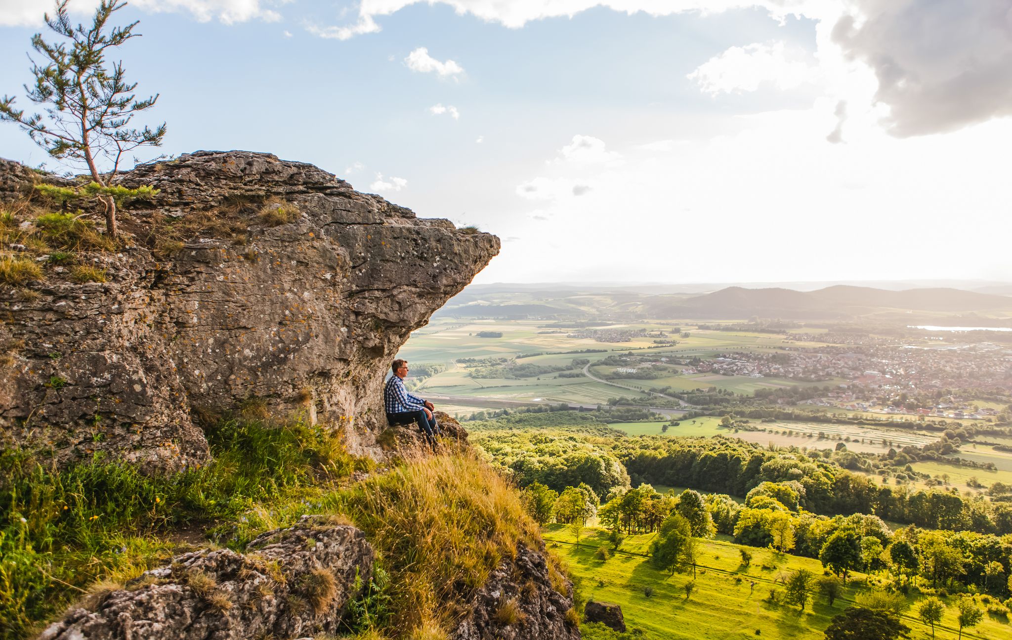
Bus station hiking trails in Lichtenfels offer access to a diverse landscape in Upper Franconia, Bavaria. The region is characterized by rolling hills, dense forests, and the scenic Main Valley. A prominent feature is the Staffelberg, an outlier hill providing expansive views. The area also includes rugged rock formations and serves as a gateway to the Franconian Switzerland-Veldenstein Forest Nature Park.
Best bus station hiking trails in Lichtenfels
- The most popular bus station hiking route is Staffelsteiner Kreuz – Staffelberg loop from Romansthal, a 6.9 miles (11.2 km) trail that takes 3 hours 12 minutes to complete. This moderate route ascends the prominent Staffelberg hill, offering panoramic views.
- Another top favourite among local hikers is View of the Riedsee – View of Staffelberg loop from Bad Staffelstein, an easy 4.1 miles (6.6 km) path. This route provides views of both the Riedsee and the Staffelberg.
- Local hikers also love the Millstream – 🍺 Schrepfersmühle loop from Stadelhofen, a 5.1 miles (8.2 km) trail leading through varied forest landscapes and past a millstream, often completed in about 2 hours 16 minutes.
- Hiking in Lichtenfels is defined by rolling hills, dense forests, and the scenic Main Valley. The network offers options for different ability levels, from easy riverside paths to moderate ascents of local hills.
- The routes in Lichtenfels are highly rated by the komoot community with an average score of 4.6 stars from over 16,000 reviews. More than 59,000 hikers have used komoot to explore Lichtenfels's varied terrain.
Last updated: June 26, 2026
4.6
(202)
624
hikers
Easy hike. Great for any fitness level. Easily-accessible paths. Suitable for all skill levels.
4.8
(686)
2,481
hikers
11.2km
03:12
250m
240m
Moderate hike. Good fitness required. Mostly accessible paths. Sure-footedness required.

Sign up for free
4.8
(113)
386
hikers
8.18km
02:16
140m
140m
Moderate hike. Good fitness required. Easily-accessible paths. Suitable for all skill levels.
4.8
(130)
438
hikers
16.2km
04:31
300m
300m
Moderate hike. Good fitness required. Easily-accessible paths. Suitable for all skill levels.
4.8
(94)
348
hikers
7.15km
01:58
110m
120m
Easy hike. Great for any fitness level. Easily-accessible paths. Suitable for all skill levels.
Get access to more routes and recommendations from other explorers.
Sign up for free
Already have an account?
Our route recommendations are based on thousands of hikes, rides, and runs completed by other people on komoot.
Start today with a free account
Your next adventure awaits.
Login or Signup
Popular around Lichtenfels
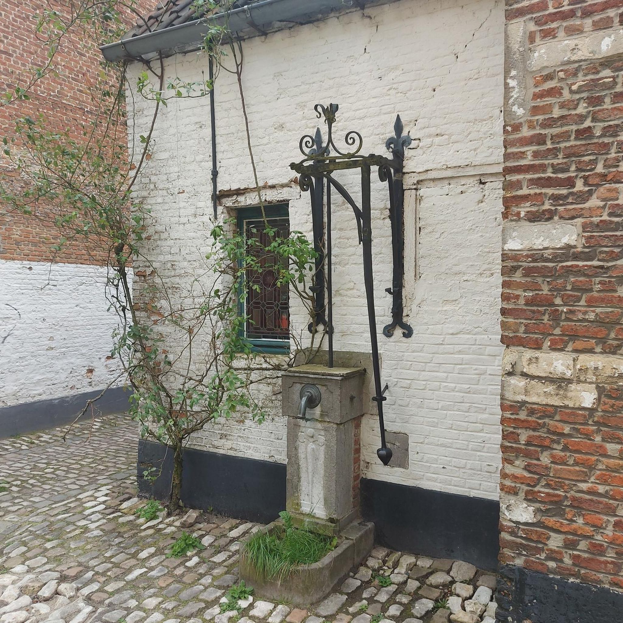
Hikes from bus stations around Bad Staffelstein

Hikes from bus stations around Banzer Wald
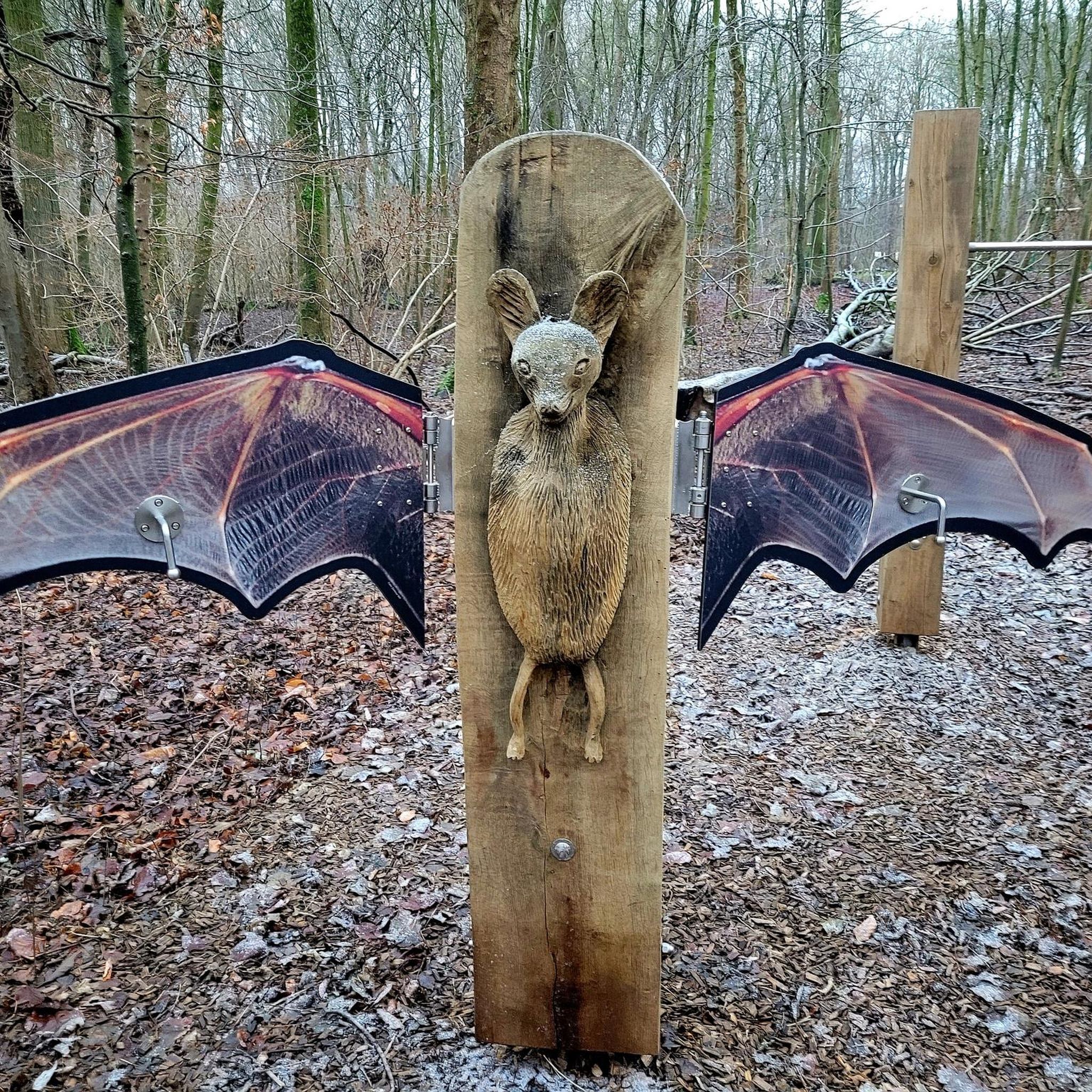
Hikes from bus stations in Trockenrasen, Wiesen Und Wälder Um Weismain

Hikes from bus stations in Bucher Forst
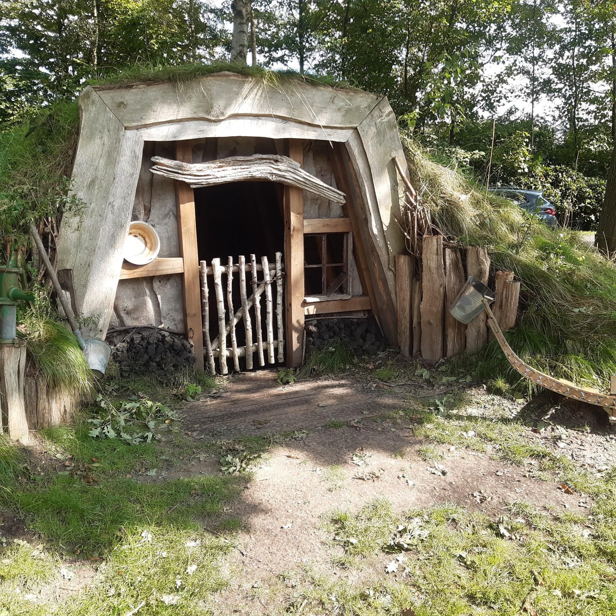
Hikes from bus stations around Neuensorger Forst
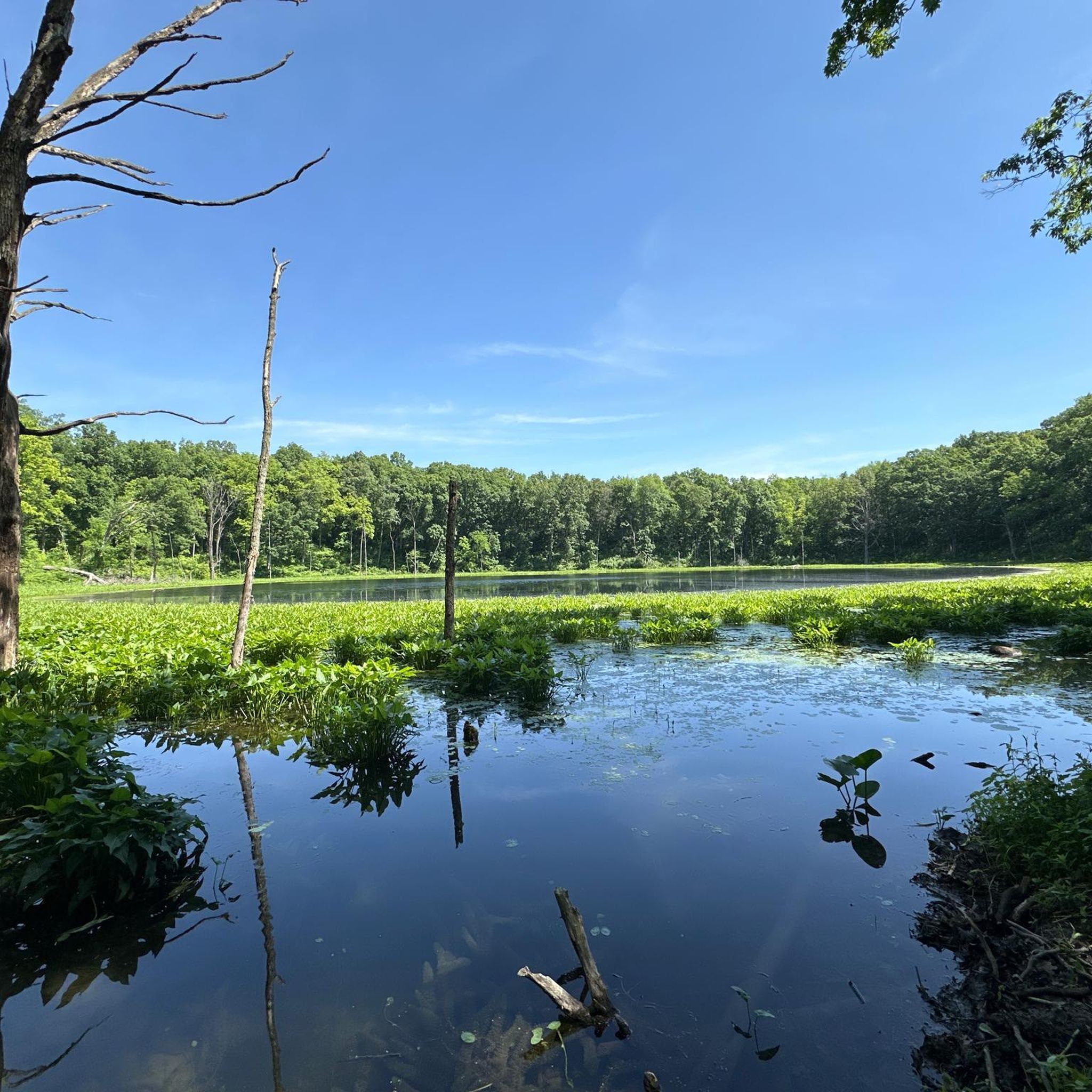
Hikes from bus stations in Itztal Von Coburg Bis Baunach

The Franconian Trail – A Diverse Hiking Dream Across 24 Stages

Wine, woods & walking trails — Best of VGN hiking tips
Our 10 favourite Tours through Upper Main’s Garden of Eden
Wine, woods & walking trails — VGN hiking tips for 2020
Other adventures in Lichtenfels


Tips from the Community

You can do everything here. Whether hiking, jogging, biking, fishing or swimming. The lake can be easily circled and you can also find a quiet spot to relax.
11
0

very nice path along the juniper heath
0
0

There are many signposted hiking trails on and around the Staffelberg.
0
0

This is where you will pass by as part of the HINTERINDIEN.DE tour no. 110.
1
3

Beautiful scenery, relaxing hiking trail.
0
0

A truly beautiful spot with a wonderful view. The hermitage is a lovely place to linger. Unfortunately, I didn't enjoy the sausages, which I was looking forward to.
13
0


For several centuries, the Horsdorf residents have been called "Federbloser" (feather blowers). The exact origin of the name is unknown, but it goes back to the technique of slitting feathers, which was used to create a kind of fake down. Until the mid-20th century, the women of the village would gather and cut the hard quills from the feathers. Since the remaining feathers were then blown off the table, this may be where the name comes from.
1
0
Frequently Asked Questions
How many hiking trails are accessible from bus stations in Lichtenfels?
There are over 1200 hiking routes in the Lichtenfels region that are accessible from bus stations. This includes a wide variety of trails, with approximately 600 easy routes, 500 moderate routes, and around 40 more challenging options.
What kind of landscapes can I expect on bus-accessible hikes around Lichtenfels?
The region around Lichtenfels offers diverse landscapes, from the iconic Staffelberg with its panoramic views of the Upper Main Valley, to scenic river valleys along the Main, and dense forests. You'll find a mix of rolling hills, striking rock formations, and picturesque natural settings.
Are there any easy, family-friendly hikes accessible by bus in Lichtenfels?
Yes, many routes are suitable for families. For an easy and relatively flat option, consider the View of the Riedsee – View of Staffelberg loop from Bad Staffelstein, which is just over 6.5 km long with minimal elevation gain. The region also features trails like the UPla Planet Trail, which is engaging for all ages.
Can I find circular hiking routes that start and end at a bus station?
Absolutely. Many of the trails in Lichtenfels are designed as circular routes, making them ideal for public transport users. For example, the Staffelsteiner Kreuz – Staffelberg loop from Romansthal offers a moderate 11 km circular hike with great views.
What are some notable landmarks or viewpoints I can reach on these hikes?
The most prominent landmark is the Staffelberg, often called the 'Mountain of the Franconians,' offering breathtaking panoramic views. You can also find other viewpoints like the View of the Staffelberg and the Adelgundis Chapel. The region also features natural monuments such as the Ebnether Cellar Rock Labyrinth.
Are there any dog-friendly hiking trails accessible by bus?
Lichtenfels is generally very welcoming to dogs on its hiking trails. Most routes through forests and open landscapes are suitable for walks with your canine companion. Always ensure your dog is on a leash where required and respect local wildlife. The Weismain Riverside Trail – Millstream loop from Wallersberg is an easy option that offers pleasant riverside walking.
What is the best time of year to go hiking in Lichtenfels?
Spring and autumn are considered ideal seasons for hiking in Lichtenfels. During these times, temperatures are mild, and the natural colors are particularly vibrant, offering beautiful scenery. Summer can also be pleasant, especially for shaded forest trails, while winter offers unique, quiet landscapes for those prepared for colder conditions.
Are there any routes that pass by traditional Franconian mills or riverside scenery?
Yes, the region's rivers and streams are often accompanied by charming trails. The Millstream – 🍺 Schrepfersmühle loop from Stadelhofen is a moderate route that takes you past a traditional mill and offers a taste of the local landscape.
What do other hikers say about the trails in Lichtenfels?
The hiking trails in Lichtenfels are highly rated by the komoot community, with an average score of 4.6 stars from over 16,000 ratings. Reviewers often praise the well-maintained paths, the stunning panoramic views from the Staffelberg, and the diverse natural beauty of the Upper Franconian landscape.
Are there longer, more challenging hikes from bus stations for experienced hikers?
Yes, for those seeking a longer and more challenging experience, there are several options. The Staffelberg – Staffelsteiner Kreuz loop from Horsdorf is a moderate 16 km route with over 300 meters of elevation gain, offering a rewarding day out with extensive views.
Most popular routes in Lichtenfels
Most popular attractions in Lichtenfels

Get inspired with the komoot mobile app


Didn’t find what you were looking for?
Check out more Hikes throughout Lichtenfels below and find the perfect route in your destination.
Explore more
Browse the best Hikes in other regions.
