The best road cycling routes in Lichtenfels
4.5
(398)
5,198
riders
374
rides
Road cycling routes in Lichtenfels traverse a landscape characterized by the Main River valley, rolling hills, and the foothills of the Franconian Jura. The region features a mix of open agricultural land, dense woodlands, and historic towns. Road cyclists can expect varied terrain, from flat sections along the river to routes with significant elevation gain in the surrounding uplands. This area provides diverse road cycling opportunities, combining natural scenery with cultural landmarks.
Best road cycling routes in Lichtenfels
- The most…
Last updated: September 23, 2026
5.0
(1)
34
riders
84.1km
04:06
1,090m
1,090m
Hard road ride. Very good fitness required. Mostly well-paved surfaces and easy to ride.
4.8
(33)
141
riders
64.2km
02:40
310m
310m
Moderate road ride. Good fitness required. Mostly well-paved surfaces and easy to ride.

4.0
(2)
126
riders
62.6km
02:37
270m
270m
Moderate road ride. Good fitness required. Some segments of this route may be unpaved and difficult to ride.
4.7
(6)
134
riders
Moderate road ride. Good fitness required. Some segments of this route may be unpaved and difficult to ride.
4.5
(13)
119
riders
64.5km
02:35
230m
230m
Moderate road ride. Good fitness required. Mostly well-paved surfaces and easy to ride.
4.7
(18)
139
riders
Moderate road ride. Good fitness required. Some segments of this route may be unpaved and difficult to ride.
4.3
(3)
88
riders
Moderate road ride. Good fitness required. Mostly well-paved surfaces and easy to ride.
4.7
(21)
253
riders
Moderate road ride. Good fitness required. Some segments of this route may be unpaved and difficult to ride.
4.9
(8)
113
riders
Easy road ride. Great for any fitness level. Mostly well-paved surfaces and easy to ride.
4.0
(5)
64
riders
Easy road ride. Great for any fitness level. Mostly well-paved surfaces and easy to ride.
Get access to more routes and recommendations from other explorers.
Already have an account?
Our route recommendations are based on thousands of hikes, rides, and runs completed by other people on komoot.
Start today with a free account
Your next adventure awaits.
Popular around Lichtenfels
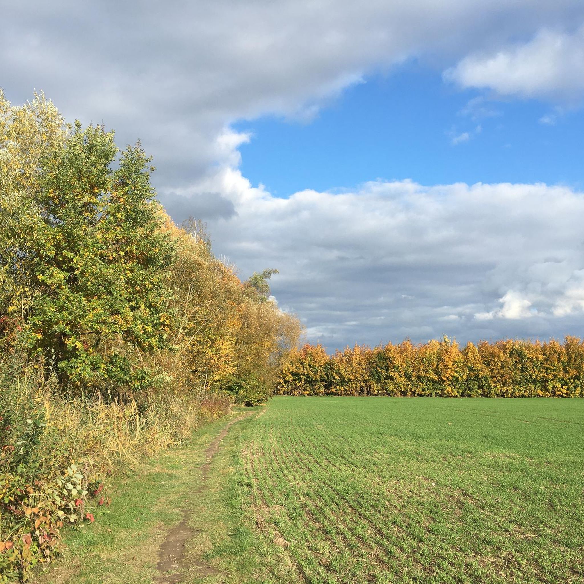
Road Cycling Routes around Redwitz an der Rodach
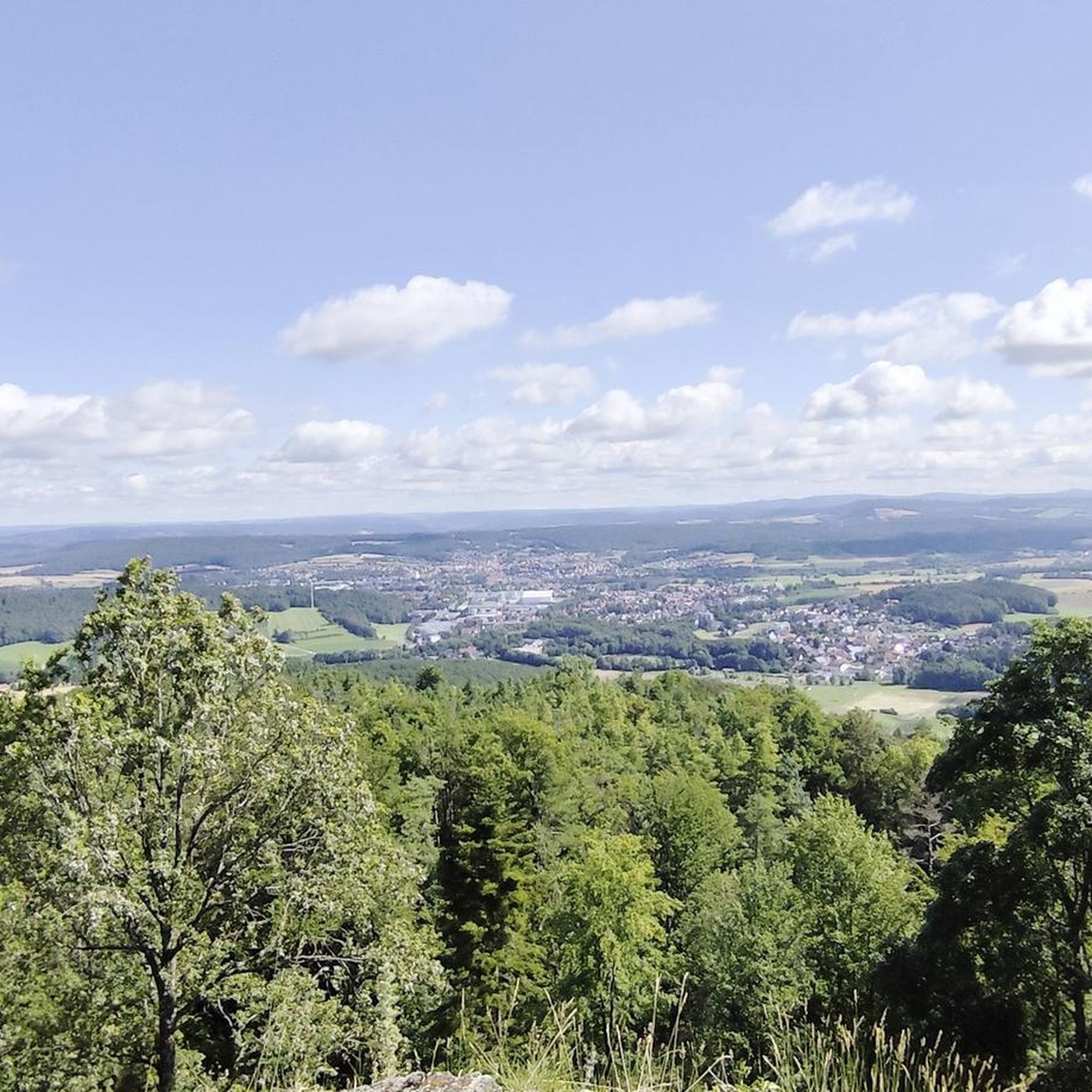
Road Cycling Routes around Altenkunstadt
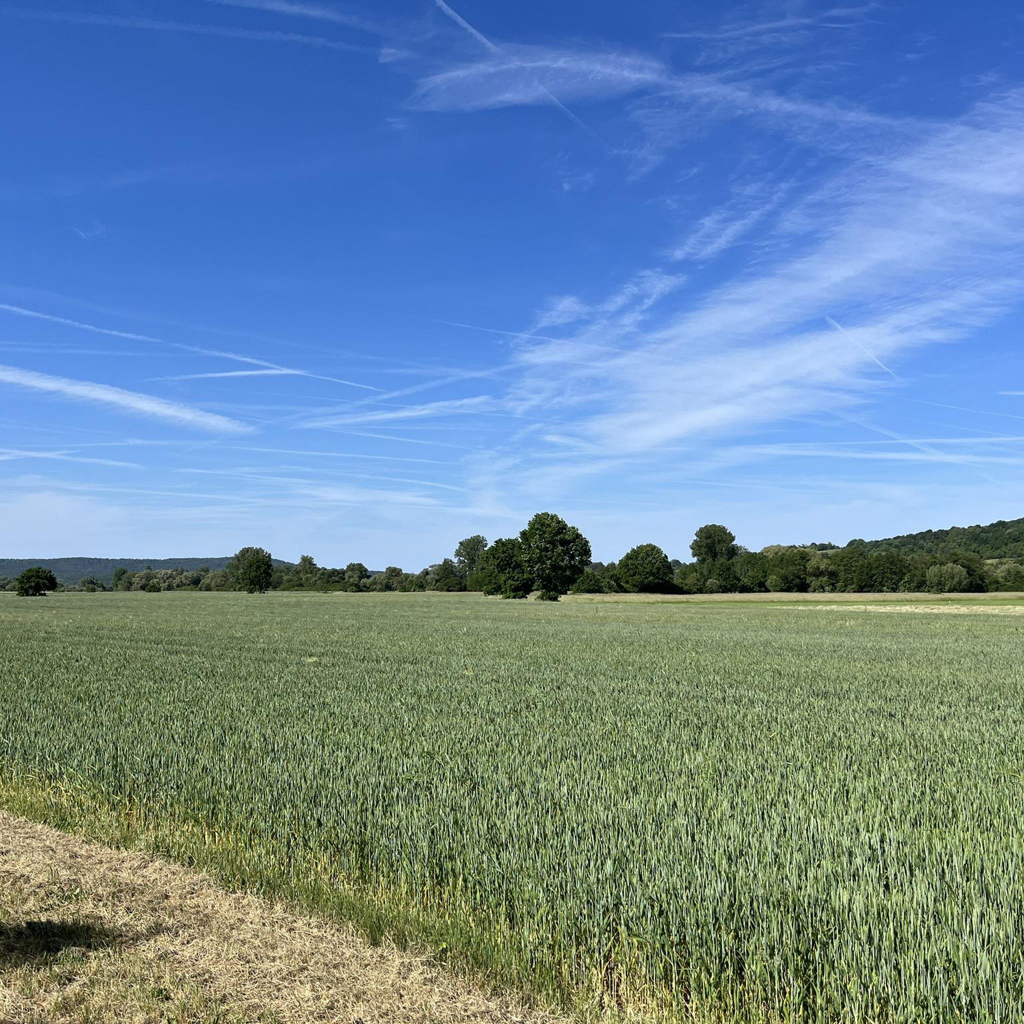
Road Cycling Routes in Itztal Von Coburg Bis Baunach
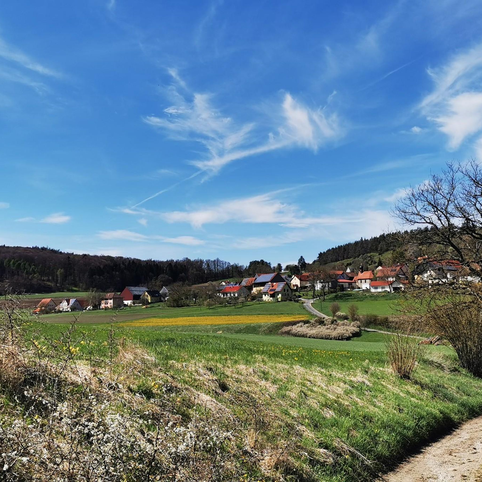
Road Cycling Routes in Trockenrasen, Wiesen Und Wälder Um Weismain
Road Cycling Routes around Bad Staffelstein
Road Cycling Routes around Burgkunstadt
Road Cycling Routes around Breitengüßbacher Forst
Road Cycling Routes in Bucher Forst
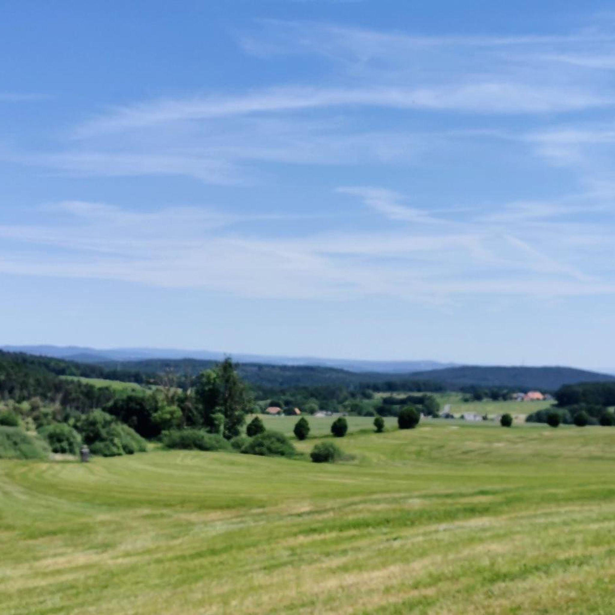
Road Cycling Routes around Banzer Wald
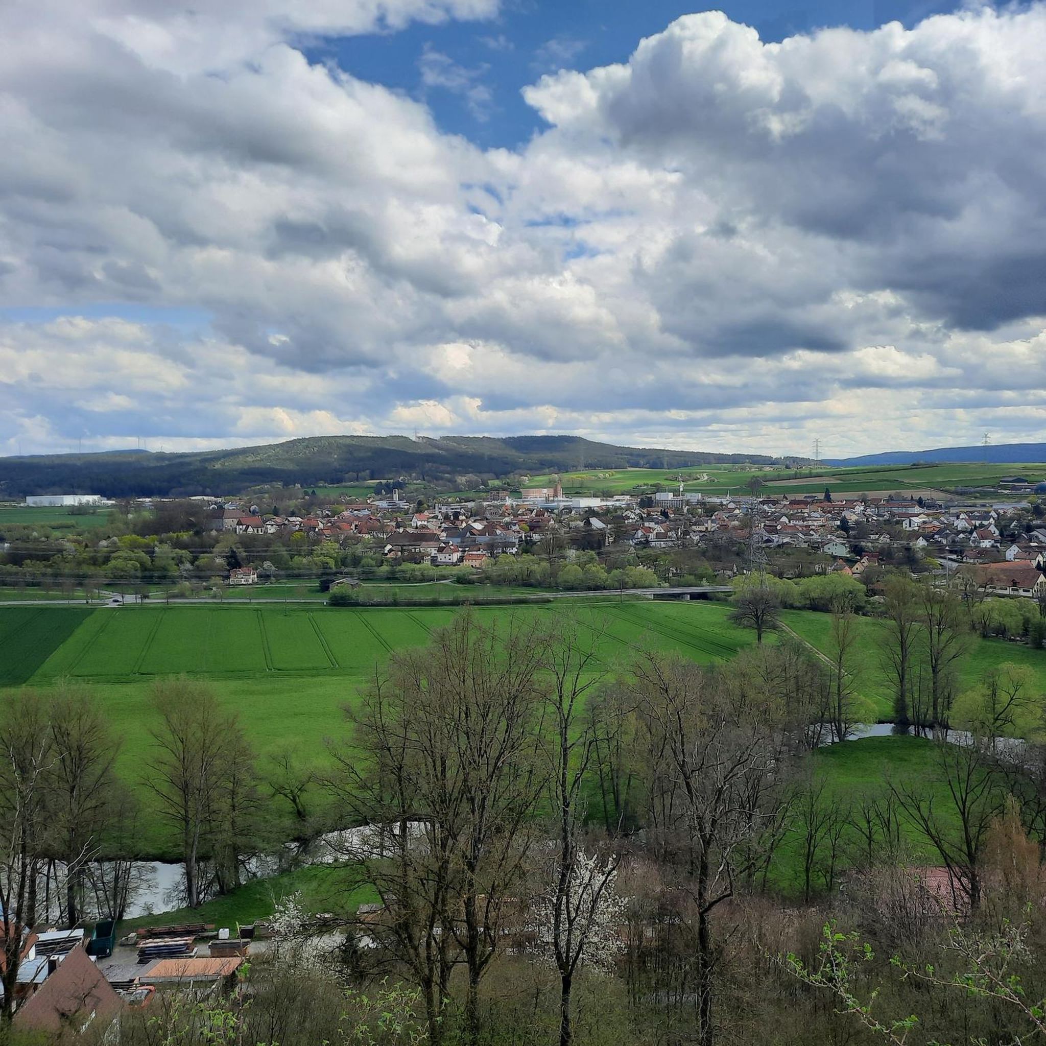
Road Cycling Routes around Marktgraitz
Other adventures in Lichtenfels


Tips from the Community

The Plassenburg is an imposing fortress and castle complex above the Upper Franconian town of Kulmbach. It is one of the most significant Renaissance structures in Germany and is the region's most striking landmark. It serves as a visual orientation point and an architectural highlight of the landscape.
1
0

After the pedestal stood empty for over a year, the knight is back in his place as of September 17, 2026: restored in accordance with monument preservation standards and shining anew.
0
0
It is now historically documented that the knight on the town fountain in Weismain is the original from 1572, created by the Bamberg sculptor Pankraz Wagner. His coat of arms shows the coat of arms of the Prince-Bishopric of Bamberg (striding lion), the coat of arms of the town of Weismain (three fish), and the coat of arms of Prince-Bishop Veit II. von Würtzburg (reigned 1561-1577). In the inner courtyard of the Mitwitz water castle, there is a copy from the historicist period. (More details at Wikipedia: Stadtbrunnen Weismain).
0
0


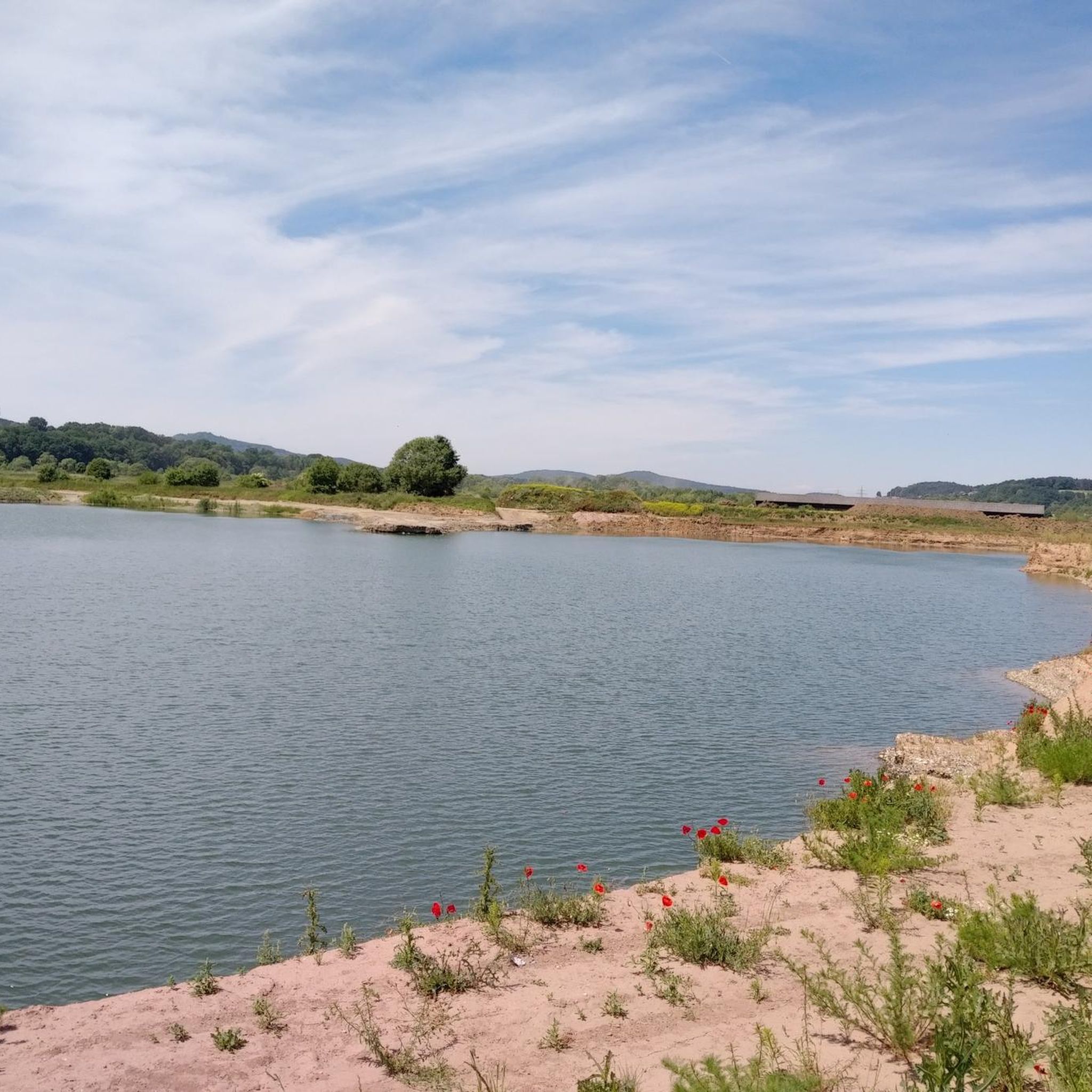
This lake was created very beautifully.
0
0

Since 1130, markets have been permitted in Staffelstein. The corresponding right was granted by King Lothar III to the Georgsbrüder, the capitulars of Bamberg Cathedral. At that time, Staffelstein belonged to the Prince-Bishopric of Bamberg. The market square was laid out after the great fire of 1684 as it presents itself today, dominated by the Franconian half-timbered masterpiece, the town hall.
7
0
The ensemble within the 14th and 15th century fortification ring developed from the earliest mention of the present settlement around 800. The town parish church of St. Kilian was founded centrally within it even before 1007. In 1130, the settlement received market rights, a good 250 years later full jurisdiction. From 1422, the town's fortifications were built. In 1473, the town burned down, including the parish church and the town hall. In the Thirty Years' War, in 1684, almost the entire place fell prey to the flames again. The symbol of the subsequent reconstruction is the town hall from 1686/87. Of particular importance is the cohesive appearance of the buildings, which is shaped by the reconstruction after the town fire of 1684. These typically include two-storey front houses, often with gables facing the street, featuring decorative half-timbering on the upper floor. In addition to wall remnants, the Bamberger Torturm gate tower, dating back to the 16th century in its core, has been preserved from the town's fortifications.
7
0
I like riding this bike path when I go to Lichtenfels
0
0
Frequently Asked Questions
How many road cycling routes are available in Lichtenfels?
Lichtenfels offers a wide selection of road cycling routes, with over 370 routes available on komoot. These routes cater to various skill levels, from easy rides along the Main River to challenging ascents in the Franconian Jura.
What kind of terrain can I expect on road cycling routes in Lichtenfels?
Road cycling in Lichtenfels features diverse terrain. You'll find flat sections along the Main River valley, rolling hills, and more significant climbs in the foothills of the Franconian Jura. The landscape includes open agricultural land, dense woodlands, and historic towns, providing a varied riding experience.
Are there road cycling routes suitable for beginners in Lichtenfels?
Yes, Lichtenfels has numerous routes suitable for beginners. There are 84 easy road cycling routes, often characterized by flatter sections along river valleys. An example is the Rolandsbrunnen Weismain – Weismain historic town centre loop from Weismain, which is an easy 46.8 km ride.
Where can I find challenging road cycling routes with significant elevation gain in Lichtenfels?
For cyclists seeking a challenge, Lichtenfels offers 33 difficult road cycling routes, primarily in the Jura region. A prime example is Collecting altitude meters in Jura, a 84.1 km route with over 1000 meters of elevation gain.
Are there circular road cycling routes in Lichtenfels?
Yes, many road cycling routes in Lichtenfels are designed as circular loops, allowing you to start and end at the same point. For instance, the View of Banz Abbey – Bad Staffelstein Old Town loop from Bad Staffelstein is a popular moderate circular route.
What scenic viewpoints or landmarks can I see along road cycling routes in Lichtenfels?
Many routes offer stunning views and pass by notable landmarks. You might encounter the Staffelberg, the impressive Basilica of the Fourteen Holy Helpers, or the historic Lower Gate in Lichtenfels. Routes often provide glimpses of the Main River and the Franconian Jura landscape.
Are there any historic towns or cultural sites to explore on road cycling routes?
Absolutely. The region is dotted with historic towns and cultural sites. Routes often pass through places like Bad Staffelstein and Weismain, allowing you to experience their charm. The Weismain Old Town – Weismaintal Scenic Road loop from Burgkunstadt is a great example, leading through the scenic Weismaintal and historic Weismain.
What do other road cyclists enjoy most about road cycling in Lichtenfels?
The area is highly rated by the komoot community, with an average score of 4.5 stars from over 340 reviews. Cyclists often praise the varied terrain, combining picturesque river valleys with challenging climbs, and the opportunity to explore historic towns and scenic viewpoints like Banz Abbey.
What is the best time of year for road cycling in Lichtenfels?
The spring and autumn months generally offer the most pleasant conditions for road cycling in Lichtenfels, with milder temperatures and beautiful scenery. Summer can also be enjoyable, though it's advisable to start earlier in the day to avoid the midday heat.
Are there any routes that pass by lakes or water features in Lichtenfels?
Yes, some routes incorporate views of local lakes and the Main River. For example, the Main River Bridge at Unnersdorf – Ebensfeld Lake loop from Kleukheim is an easy route that includes a lake. You can also find highlights like the Rudufersee or the Riedsee (Middle Lake) near Bad Staffelstein.
Can I find road cycling routes that offer views of castles or abbeys?
Yes, the region is rich in historical architecture. Routes often provide views of impressive structures such as Banz Abbey. The View of Banz Abbey – Bad Staffelstein Old Town loop from Bad Staffelstein is a popular route specifically highlighting this iconic abbey.
Are there any hidden gem road cycling routes in Lichtenfels?
While many routes are well-known, exploring some of the less-trafficked paths can reveal hidden gems. Consider the Oberlangenstadt Castle – Oblaten Monastery Kronach loop from Hochstadt-Marktzeuln for a moderate ride that takes you past historical sites away from the busiest areas.
Most popular routes in Lichtenfels
Most popular attractions in Lichtenfels

Get inspired with the komoot mobile app


Didn’t find what you were looking for?
Check out more Road cycling routes throughout Lichtenfels below and find the perfect route in your destination.
Explore more
Browse the best Road cycling routes in other regions.
