The best hikes from bus stations in the Haßberge
4.6
(9256)
35,032
hikers
1,228
hikes
Hiking in the Haßberge region features a diverse landscape of gently rolling hills, picturesque valleys, and dense mixed forests, forming a low mountain range in northern Bavaria. The area is characterized by its unspoiled nature within the Haßberge Nature Park, bordered by the scenic Main River valley. Hikers can explore varied terrain including charming vineyards, meadows, and historic villages, often with views of numerous castles and ruins.
Best bus station hiking trails in the Haßberge
- The most popular bus station…
Last updated: July 9, 2026
4.8
(83)
282
hikers
14.6km
04:05
290m
290m
Moderate hike. Good fitness required. Easily-accessible paths. Suitable for all skill levels.
4.3
(6)
16
hikers
14.5km
04:04
260m
310m
Moderate hike. Good fitness required. Easily-accessible paths. Suitable for all skill levels.

Sign up for free
4.8
(254)
864
hikers
Moderate hike. Good fitness required. Easily-accessible paths. Suitable for all skill levels.
4.7
(150)
548
hikers
Moderate hike. Good fitness required. Easily-accessible paths. Suitable for all skill levels.
4.7
(134)
503
hikers
6.14km
01:47
150m
150m
Moderate hike. Great for any fitness level. Mostly accessible paths. Sure-footedness required.
Get access to more routes and recommendations from other explorers.
Sign up for free
Already have an account?
Our route recommendations are based on thousands of hikes, rides, and runs completed by other people on komoot.
Start today with a free account
Your next adventure awaits.
Login or Signup
Popular around Haßberge

Hikes from bus stations in Naturpark Haßberge
Hikes from bus stations around Knetzgau
Hikes from bus stations in Altmain Und Sandmagerrasen Bei Limbach
Hikes from bus stations in Lsg Innerhalb Des Naturparks Hassberge (Ehemals Schutzzone)
Hikes from bus stations in Maintalhänge Zwischen Stettfeld Und Zeil
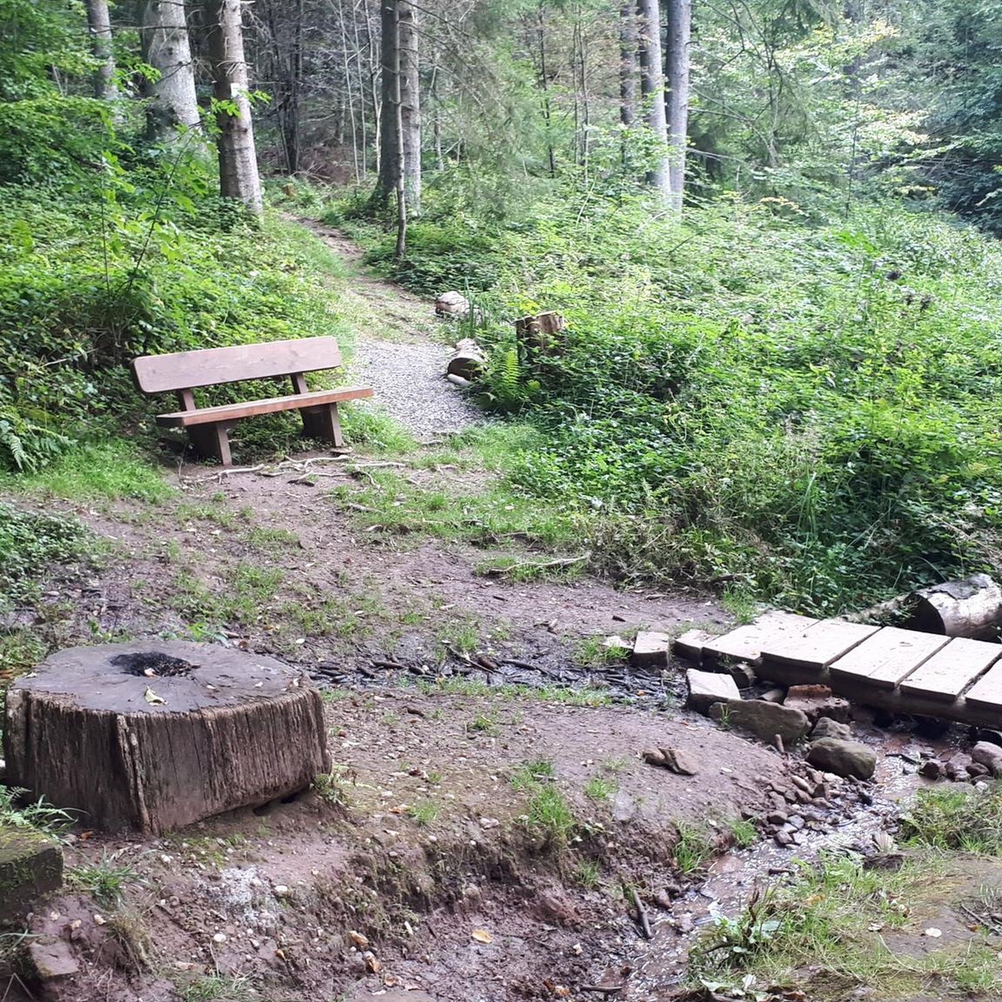
Hikes from bus stations around Eltmann

Hikes from bus stations around Pfarrweisach
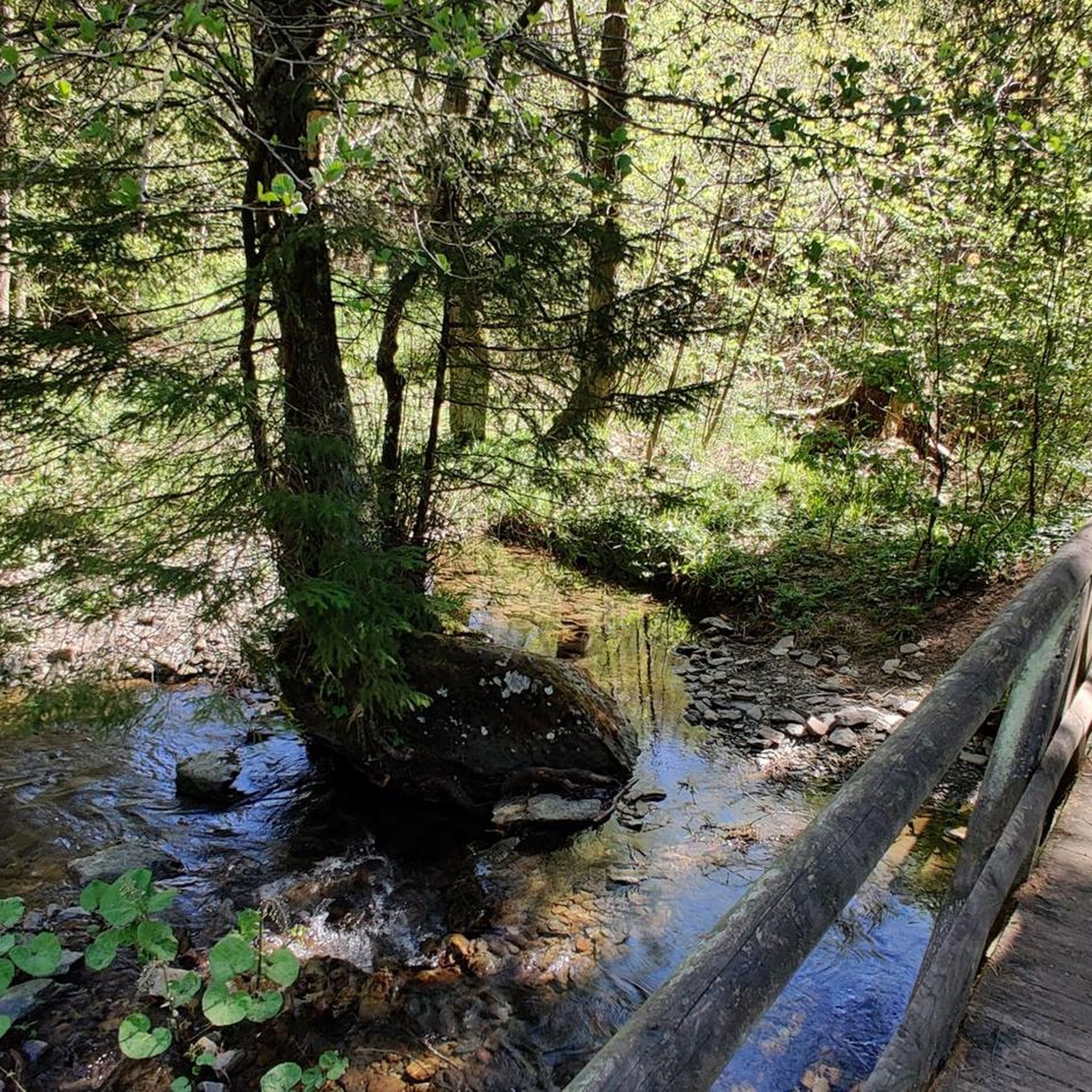
Hikes from bus stations around Ebern
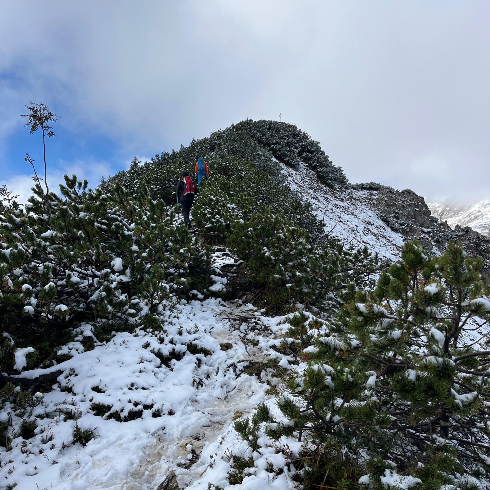
Hikes from bus stations around Zeil am Main

Hikes from bus stations around Rauhenebrach
Other adventures in the Haßberge


Tips from the Community

The church is a beautiful contrast to the impressive castle ruins and rocks in the surrounding area: peace, history and nature combined in a small village.
5
0
The Diebskeller is a beautiful example of how nature and history come together in the Haßbergland region – a place to marvel at and explore.
5
0

The castle, towering 150 meters above the Weisach Valley, is a widely visible symbol of power and history. First documented in 1126, it served as the ancestral seat of the Lords of Stein for centuries. In 1895, it passed to the Barons of Rotenhan and finally to the Haßberge district in 1972. Noteworthy are the mighty double-towered gate and the picturesque remains of the late Gothic chapel. Source and further information: https://www.maroldsweisach.de/burgruine-altenstein
16
1

The Burgstall Rottenstein is hidden on the southern edge of the Haßberge, not far from Schweinfurt, and is an insider tip for anyone who enjoys hiking on historical paths through quiet forests. Between leaves and rocks, you will find the remains of an old castle complex, now overgrown with moss and wood ferns. The atmosphere here is uniquely peaceful, and an information board provides details about this historically significant place.
0
0

The cave radiates a special, fairytale atmosphere and invites you to linger and dream.
1
0
This shelter can be a quiet place to pause, observe, or simply relax. The sounds of the forest, the dim light, and the solitude promote mindfulness and slowing down.
0
0

A brilliant resting place on the beautiful rock.
0
0
The Lichtenstein Rune is always worth a visit. In the entrance area there is a fridge with self-service drinks and a trust box. Great idea!
18
4
Frequently Asked Questions
How many bus-accessible hiking trails are available in the Haßberge region?
The Haßberge region offers a vast network of hiking trails accessible by bus. There are over 1200 routes in total, with more than 580 easy and 580 moderate options, ensuring a suitable path for every hiker.
What kind of landscapes can I expect on bus-accessible hikes in the Haßberge?
Hikes in the Haßberge, even those starting from bus stations, traverse diverse landscapes. You'll encounter gently rolling hills, picturesque valleys, and extensive mixed forests. Many routes offer scenic views of the Main River valley, charming vineyards, and meadows, characteristic of this low mountain range in northern Bavaria.
Are there any family-friendly bus-accessible hikes in the Haßberge?
Yes, the Haßberge region has many family-friendly options. While specific bus-accessible family routes vary, the region is known for trails like the Wichtelpfad (Gnome Trail), which is designed for children to explore nature playfully. Look for shorter, easier routes that are well-marked and have minimal elevation gain.
Can I bring my dog on bus-accessible hiking trails in the Haßberge?
Most hiking trails in the Haßberge are dog-friendly, provided your dog is kept on a leash, especially in nature protection areas or near wildlife. Always check local regulations for specific trails or nature reserves. Ensure your dog is comfortable with public transport if you plan to use buses to reach trailheads.
What are some notable landmarks or attractions along bus-accessible routes?
The Haßberge region is rich in history and natural beauty. Many routes pass by historic castles and ruins. For example, you might encounter the Alte Burg Castle Ruins near Buch or enjoy views from the Birdwatching Tower Mainaue bei Augsfeld. The region also features natural monuments like the Mühlbach Spring.
Are there any circular routes that start and end at a bus station?
Yes, many bus-accessible routes in the Haßberge are designed as circular walks, allowing you to return to your starting point without needing additional transport. An example of a moderate circular route is the Altenstein Castle Ruins – Thieves' Cellar Rock Labyrinth loop from Burg Lichtenstein, which offers historical sights and natural features.
What is the best time of year for hiking in the Haßberge?
The Haßberge region is beautiful year-round, but spring and autumn are particularly recommended. In spring, the blooming plants add vibrant color, while autumn transforms the forests with stunning foliage. Summer offers pleasant temperatures for forest walks, and even winter can be magical with snow, though some paths might be less accessible.
How long do bus-accessible hikes typically take?
The duration of bus-accessible hikes varies greatly depending on the route's length and your pace. For instance, the Viewpoint on Zeilberg – Zeilberg Basalt Quarry loop from Maroldsweisach is a moderate 6.1 km route that takes around 1 hour 45 minutes. Longer routes like the Steigerwald-Runde Three Forests Trail (14.6 km) can take over 4 hours.
What do other hikers enjoy most about the Haßberge trails?
The Haßberge region is highly rated by the komoot community, with an average score of 4.6 stars from over 8,600 ratings. Reviewers often praise the quiet woodlands, the abundance of historic castles and ruins, and the well-marked paths that make navigation straightforward. The diverse landscapes and scenic viewpoints are also frequently highlighted.
Are there any longer, more challenging bus-accessible routes for experienced hikers?
While many routes are moderate, the Haßberge does offer longer options. For example, the VGN Nature Park hike – the Burgenwinkel Express into the Hassberge Hills is a moderate 14.5 km route with significant elevation changes, providing a good challenge. The region also features parts of long-distance trails like the Celtic Experience Trail, which can be accessed via public transport for multi-stage adventures.
Where can I find information about bus schedules to reach trailheads?
For detailed bus schedules and public transport information to reach trailheads in the Haßberge, it is best to consult the local public transport provider's website. Many routes are specifically designed to connect with bus lines, making access convenient. Planning your journey in advance is always recommended.
Are there any routes that offer views of the Main River valley?
Yes, several bus-accessible routes provide excellent views of the Main River valley. The region's topography, with its rolling hills, often allows for panoramic vistas. The Giechburg-Steigerwald-Panoramaweg, for instance, is known for its breathtaking views over the Main valley, and similar viewpoints can be found on other trails throughout the Haßberge.
Most popular routes in the Haßberge
Most popular attractions in the Haßberge

Get inspired with the komoot mobile app


Didn’t find what you were looking for?
Check out more Hikes throughout Haßberge below and find the perfect route in your destination.
Explore more
Browse the best Hikes in other regions.
