The best hikes from bus stations around Basel Stadt
4.5
(1466)
13,863
hikers
314
hikes
Hiking around Basel Stadt offers a unique blend of urban landscapes, accessible green spaces, and proximity to diverse natural features. The region is characterized by the Rhine River, which provides picturesque routes, and numerous urban parks like Lange Erlen, offering natural escapes close to the city. While largely urban, Basel-Stadt also provides access to the nearby Jura Mountains for more challenging excursions and features cross-border trails into France and Germany. This blend allows for varied hiking experiences, from leisurely city…
Last updated: October 19, 2026
4.5
(52)
319
hikers
11.2km
02:52
50m
50m
Moderate hike. Good fitness required. Easily-accessible paths. Suitable for all skill levels.
4.5
(31)
116
hikers
7.62km
02:11
170m
180m
Moderate hike. Good fitness required. Easily-accessible paths. Suitable for all skill levels.

4.6
(16)
48
hikers
6.44km
01:52
160m
160m
Easy hike. Great for any fitness level. Easily-accessible paths. Suitable for all skill levels.
4.7
(10)
119
hikers
4.32km
01:08
30m
30m
Easy hike. Great for any fitness level. Easily-accessible paths. Suitable for all skill levels.
4.4
(34)
159
hikers
5.89km
01:44
170m
170m
Easy hike. Great for any fitness level. Easily-accessible paths. Suitable for all skill levels.
Get access to more routes and recommendations from other explorers.
Already have an account?
Our route recommendations are based on thousands of hikes, rides, and runs completed by other people on komoot.
Start today with a free account
Your next adventure awaits.
Popular around Basel-Stadt
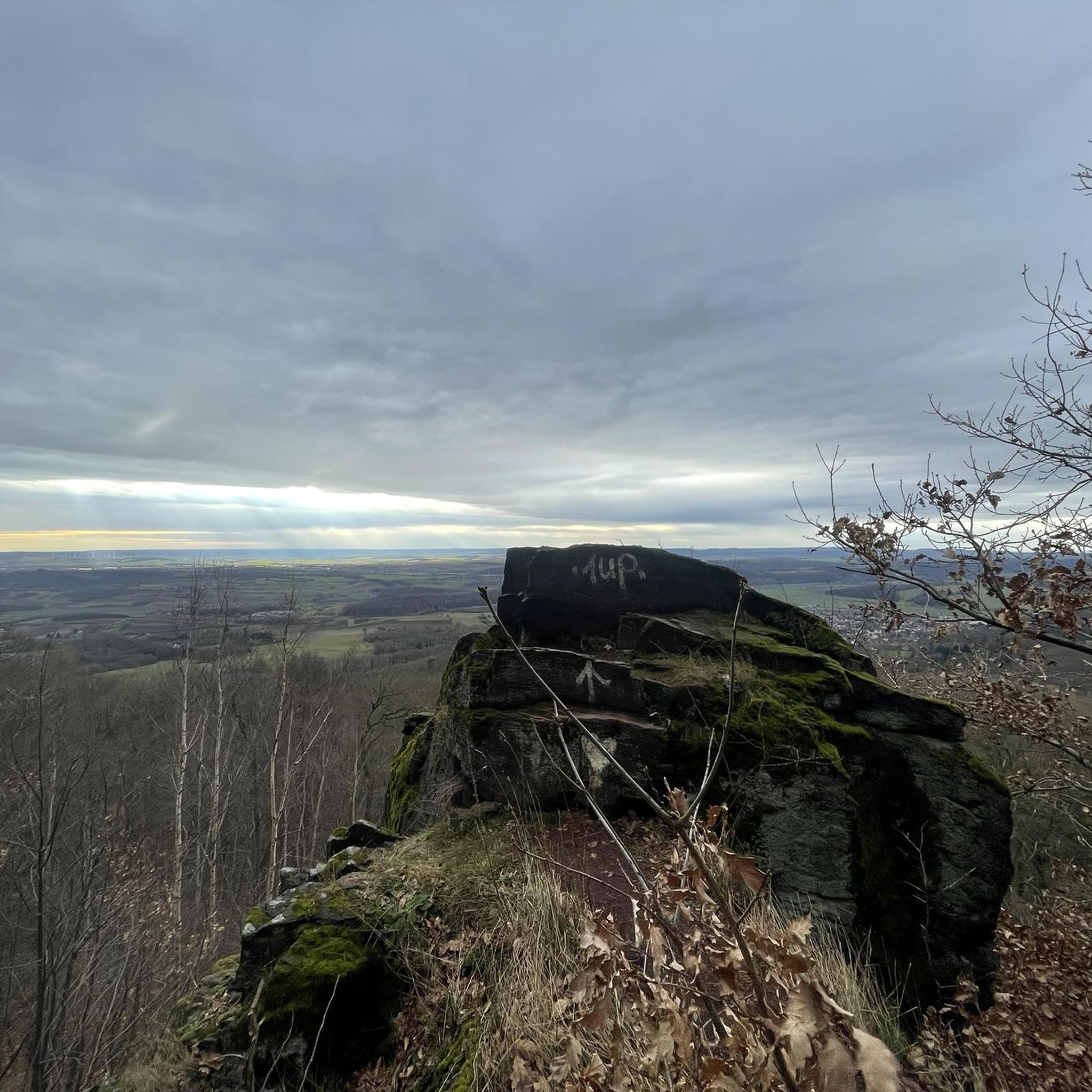
Hikes from bus stations around Bettingen
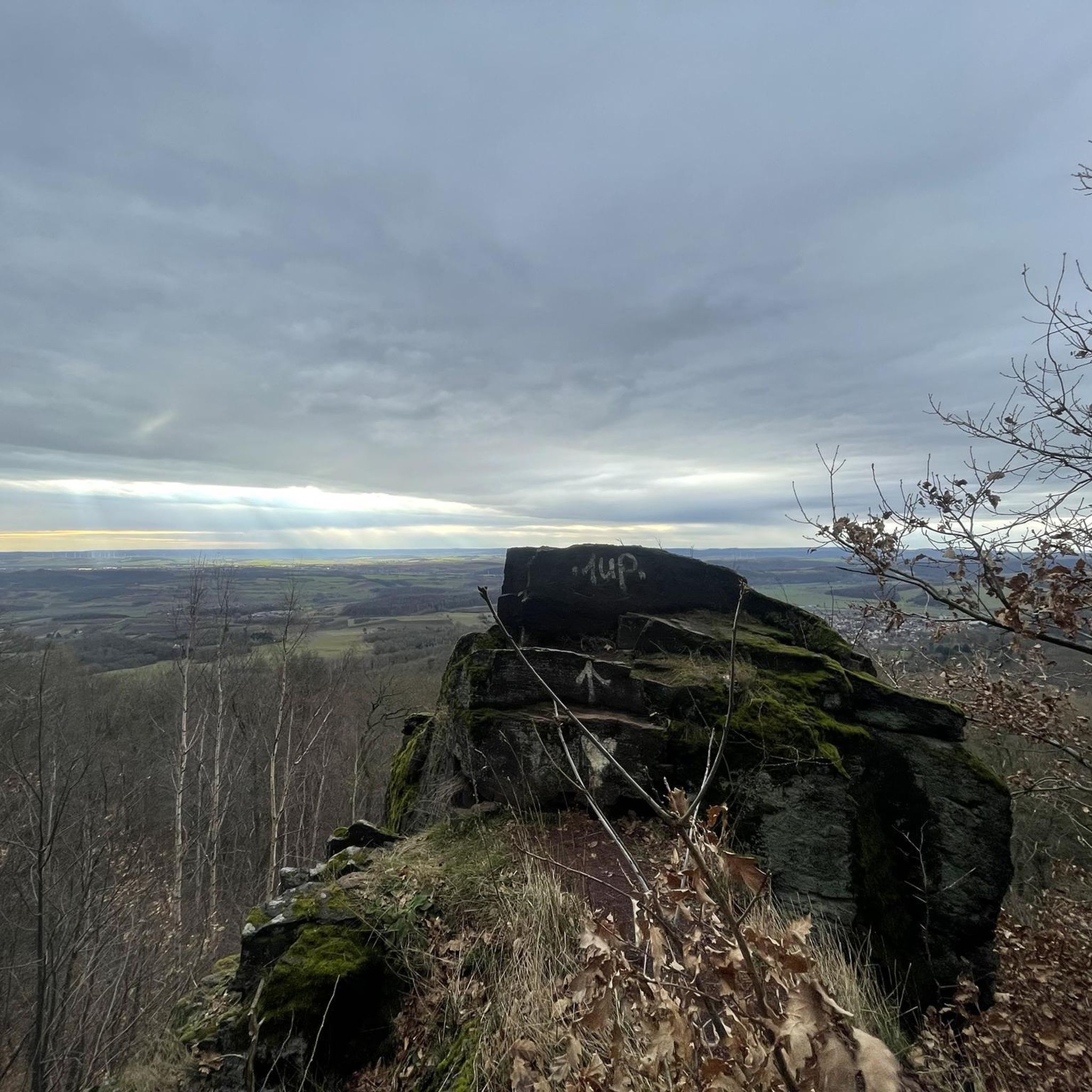
Hikes from bus stations around Riehen
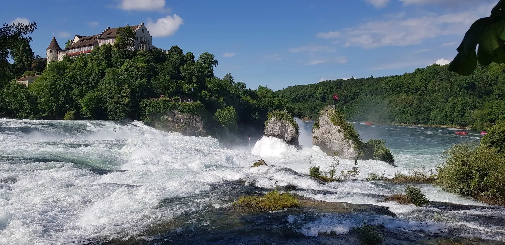
Hochrhein-Höhenweg – Forests and rivers from Germany to Switzerland

Via Gottardo – Following historic trails
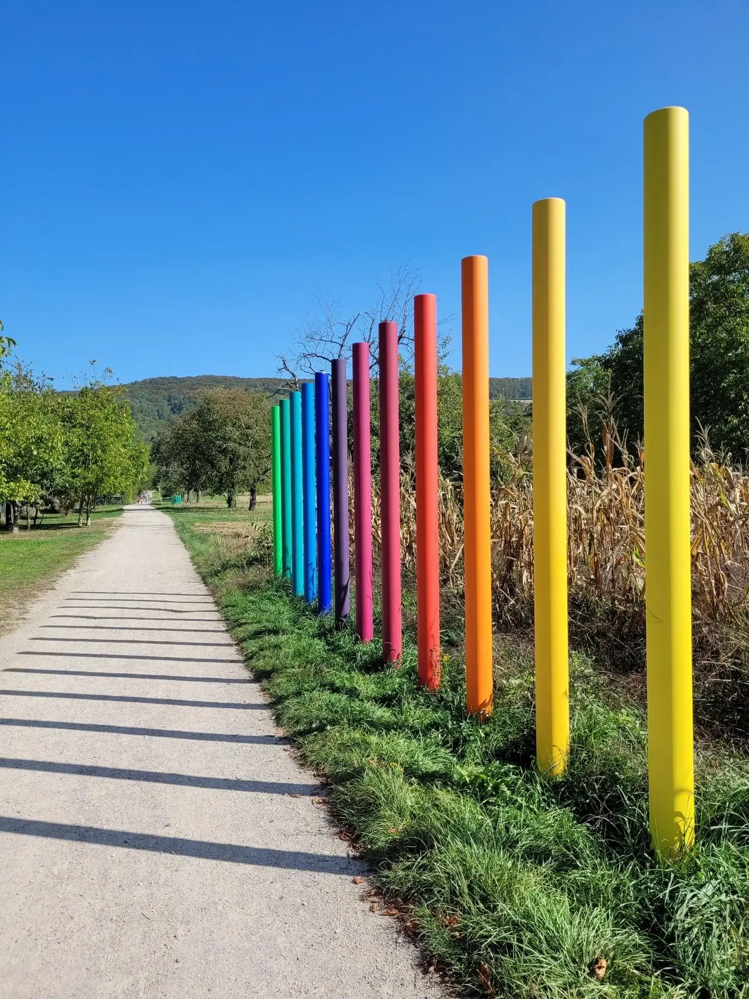
Outdoor Art – art trails in the Black Forest
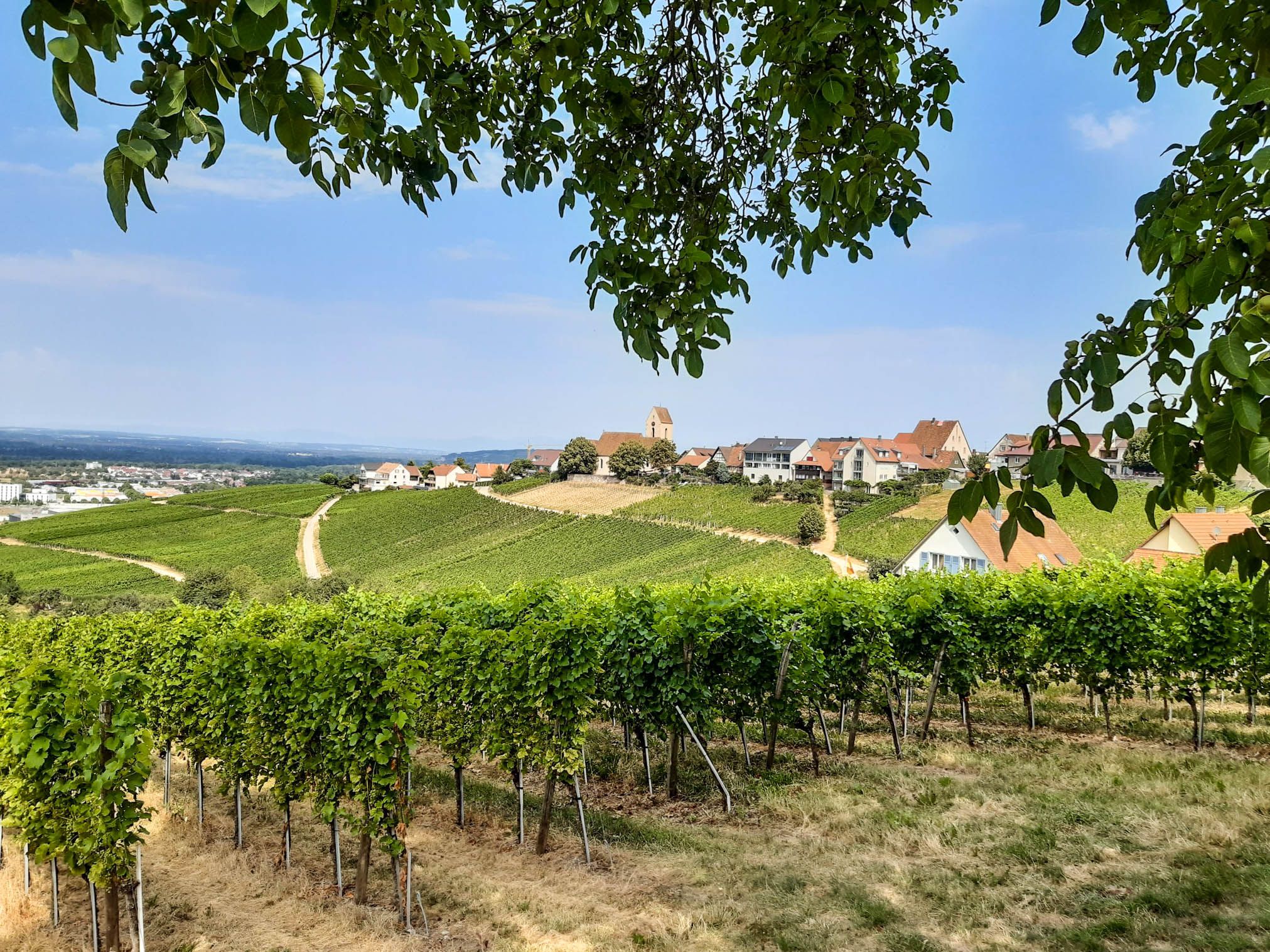
Leave all borders behind you – Three-Country Hiking Trail
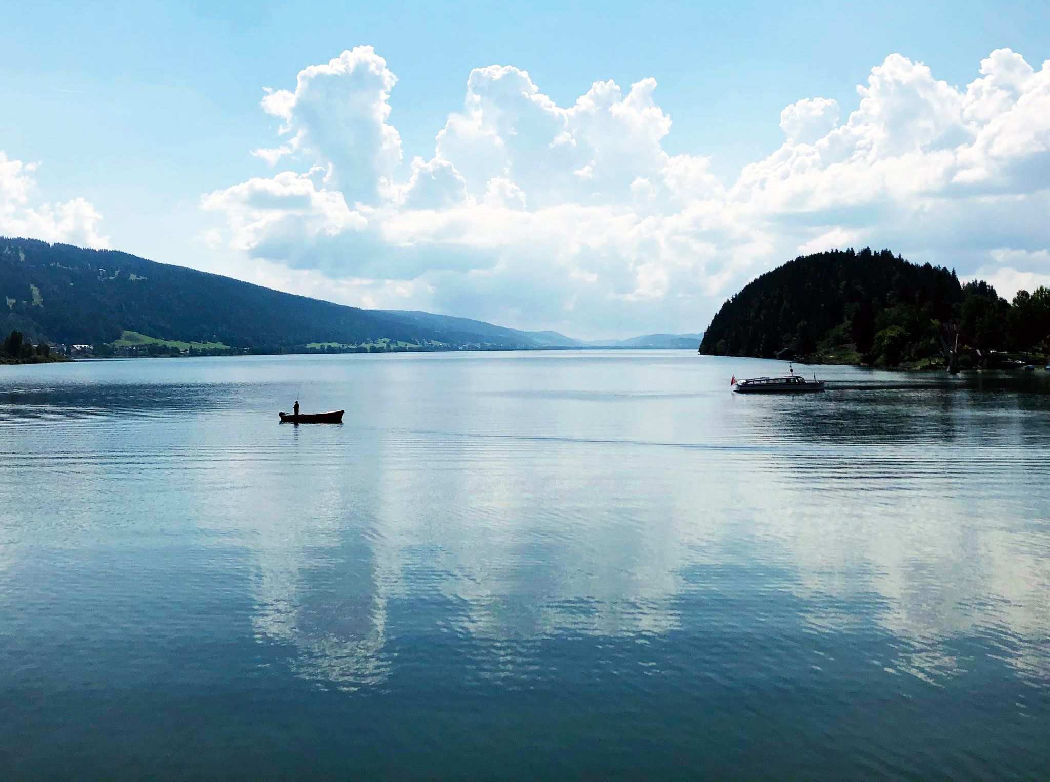
Cycling the Jura from Basel to Lake Geneva in 6 stages

The Rhine Cycle Path — From the source to the North Sea
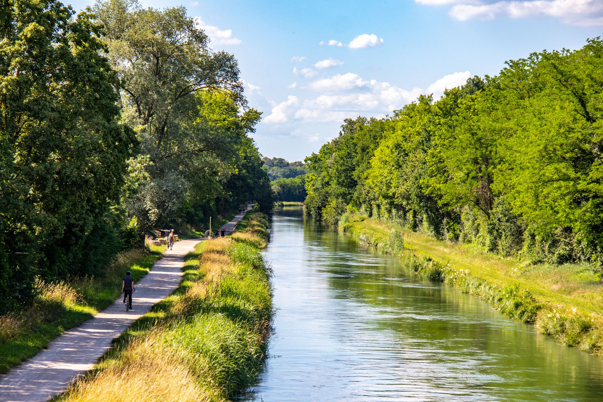
EuroVelo 6 – between the Rhine and the Loire by bike

Every cycling trip is a little holiday – bike to work Challenge 2026
Other adventures around Basel Stadt


Tips from the Community

You can walk along the Rhine promenade to the Kleinhüningen harbour entrance. At the tip of the harbour stands a monument to the Dreiländereck CH-DE-FR, which lies in the middle of the Rhine very close by.
0
0

Beautiful fountain in the old town of Basel
2
0
Small alley in the old town of Basel
1
0
Beautiful place in Münster. Fountain and trees.
1
0

pretty here, very pretty
0
0
super mega beautiful here
2
0
super mega beautiful here
2
0
Frequently Asked Questions
How many bus-accessible hiking trails are available in Basel-Stadt?
There are over 280 hiking routes in Basel-Stadt that are easily accessible from various bus stations. These routes cater to a wide range of preferences, from leisurely strolls to more challenging excursions.
What is the general difficulty level of bus-accessible hikes around Basel-Stadt?
The majority of bus-accessible hikes in Basel-Stadt are considered easy, with over 240 routes falling into this category. There are also 39 moderate routes and a few more challenging options for experienced hikers, ensuring there's something for every fitness level.
What do hikers enjoy most about the bus-accessible trails in Basel-Stadt?
The area is highly rated by the komoot community, with an average score of 4.5 stars from over 1200 ratings. Hikers frequently praise the convenience of public transport access, the diverse landscapes combining urban charm with natural beauty, and the well-maintained paths along the Rhine and through green spaces.
Are there easy hikes accessible by bus from Basel-Stadt for beginners?
Yes, Basel-Stadt offers numerous easy hikes perfect for beginners, many of which are accessible by bus. For example, the Middle Bridge (Mittlere Brücke), Basel – Basel Minster (Basler Münster) loop from Basel is an easy route that combines city sights with riverside paths. Another gentle option is the Wiesenbrücke Am Sohleck – Sluice Gate on the Wiese River loop from Basel, offering a pleasant walk along the Wiese River.
Can I find circular hiking routes easily accessible by bus in Basel-Stadt?
Absolutely. Many of the bus-accessible trails in Basel-Stadt are circular, allowing you to start and end your hike at the same bus stop. A popular choice is the Rhine Promenade Basel – Unterer Rheinweg Promenade loop from Basel, which offers scenic river views and urban exploration.
Are there family-friendly hiking options accessible by bus in Basel-Stadt?
Basel-Stadt is very family-friendly, with many parks and green spaces easily reached by bus. The Lange Erlen plain, accessible via bus, offers trails along the Wiese river and leads to the Lange Erlen Animal Park, which is a great attraction for children. Urban parks like Margarethenpark also provide easy, paved paths suitable for families.
Can I bring my dog on these bus-accessible trails?
Many trails in Basel-Stadt are dog-friendly, especially those in urban parks and along the Rhine. It's always recommended to keep dogs on a leash, especially in populated areas or nature reserves. Public transport in Switzerland generally allows dogs, often requiring a reduced fare ticket for larger dogs.
Are there bus-accessible hikes with good viewpoints in Basel-Stadt?
Yes, you can find several hikes offering excellent views. The View from St. Chrischona – Langmattenhof Farm Shop loop from Inzlingen provides panoramic vistas. The Pfalz viewing terrace behind the Basel Minster, accessible via city walks, also offers stunning views of the Rhine and Kleinbasel. For a more distant perspective, the Gempenturm, a short bus ride away, provides sweeping views of Switzerland, Germany, and France.
What interesting landmarks can I see along bus-accessible hiking trails in Basel-Stadt?
Many trails integrate historical and cultural sights. You can explore the iconic Basel Minster and the Rhine Promenade in Basel. The Tinguely Fountain (Fasnachtsbrunnen) is often part of urban green space loops. The St. Chrischona Television Tower is a prominent landmark visible on some routes, and the Lange Erlen Park and Wiese River offer natural beauty close to the city.
Are there any trails that combine urban exploration with nature in Basel-Stadt?
Basel-Stadt excels at blending urban and natural experiences. Routes often follow the Rhine, offering cityscapes alongside river views, and lead through historical areas like the Old Town. The Middle Bridge (Mittlere Brücke), Basel – Basel Minster (Basler Münster) loop from Basel is a prime example, connecting significant landmarks with scenic riverside paths.
Can I find bus-accessible trails that cross borders into France or Germany from Basel-Stadt?
Yes, Basel-Stadt's unique location allows for cross-border hiking experiences. Some trails can lead into the French countryside near St. Louis, or connect to sections of Germany's Westweg. The Rehberger-Weg, an art trail, also crosses the international border between Germany and Switzerland, offering a cultural and natural blend.
Most popular routes around Basel Stadt
Most popular attractions around Basel Stadt

Get inspired with the komoot mobile app


Didn’t find what you were looking for?
Check out more Hikes throughout Basel-Stadt below and find the perfect route in your destination.
Explore more
Browse the best Hikes in other regions.
