Easy hikes and walks around Basel Stadt
4.5
(1465)
13,798
hikers
509
hikes
Easy hiking trails around Basel Stadt offer a blend of urban and natural landscapes. The region features serene plains, river valleys along the Rhine, Wiese, and Birs, and areas with forests and vineyards. Elevated points provide views of surrounding hills and distant mountain ranges. These trails are generally characterized by gentle gradients and accessible paths.
Best easy hiking trails around Basel Stadt
- The most popular easy hiking route is Middle Bridge (Mittlere Brücke), Basel – Basel Cathedral loop from Basel SBB, a 4.0 miles (6.5 km) trail that takes 1 hour 43 minutes to complete. This route combines historical city sights with riverside paths.
- Another top favourite among local hikers is Tinguely Museum – Rhine Beach, Basel loop from Basel, an easy 4.3 miles (7.0 km) path. It offers views of the Rhine and passes by cultural landmarks.
- Local hikers also love the Middle Bridge (Mittlere Brücke), Basel – Basel Minster (Basler Münster) loop from Basel, a 4.4 miles (7.0 km) trail leading through the city center and along the river, often completed in about 1 hour 50 minutes.
- Hiking around Basel Stadt is defined by river valleys, urban sights, and accessible green spaces. The network offers options for different ability levels.
- The routes in Basel-Stadt are highly rated by the komoot community with an average score of 4.5 stars from over 1,100 reviews. More than 11,500 hikers have used komoot to explore Basel-Stadt's varied terrain.
Last updated: October 6, 2026
4.8
(14)
124
hikers
5.06km
01:21
50m
60m
Easy hike. Great for any fitness level. Easily-accessible paths. Suitable for all skill levels.
4.6
(16)
48
hikers
6.44km
01:52
160m
160m
Easy hike. Great for any fitness level. Easily-accessible paths. Suitable for all skill levels.

4.6
(5)
94
hikers
Easy hike. Great for any fitness level. Easily-accessible paths. Suitable for all skill levels.
4.7
(3)
113
hikers
Easy hike. Great for any fitness level. Easily-accessible paths. Suitable for all skill levels.
4.7
(10)
119
hikers
4.32km
01:08
30m
30m
Easy hike. Great for any fitness level. Easily-accessible paths. Suitable for all skill levels.
4.4
(34)
159
hikers
5.89km
01:44
170m
170m
Easy hike. Great for any fitness level. Easily-accessible paths. Suitable for all skill levels.
5.0
(2)
87
hikers
Easy hike. Great for any fitness level. Easily-accessible paths. Suitable for all skill levels.
3.0
(1)
118
hikers
Easy hike. Great for any fitness level. Easily-accessible paths. Suitable for all skill levels.
4.0
(3)
84
hikers
5.37km
01:22
10m
10m
Easy hike. Great for any fitness level. Easily-accessible paths. Suitable for all skill levels.
3.3
(4)
83
hikers
4.79km
01:13
10m
10m
Easy hike. Great for any fitness level. Easily-accessible paths. Suitable for all skill levels.
Get access to more routes and recommendations from other explorers.
Already have an account?
Our route recommendations are based on thousands of hikes, rides, and runs completed by other people on komoot.
Start today with a free account
Your next adventure awaits.
Popular around Basel-Stadt
Easy hikes around Riehen
Easy hikes around Bettingen
Hochrhein-Höhenweg – Forests and rivers from Germany to Switzerland

Via Gottardo – Following historic trails
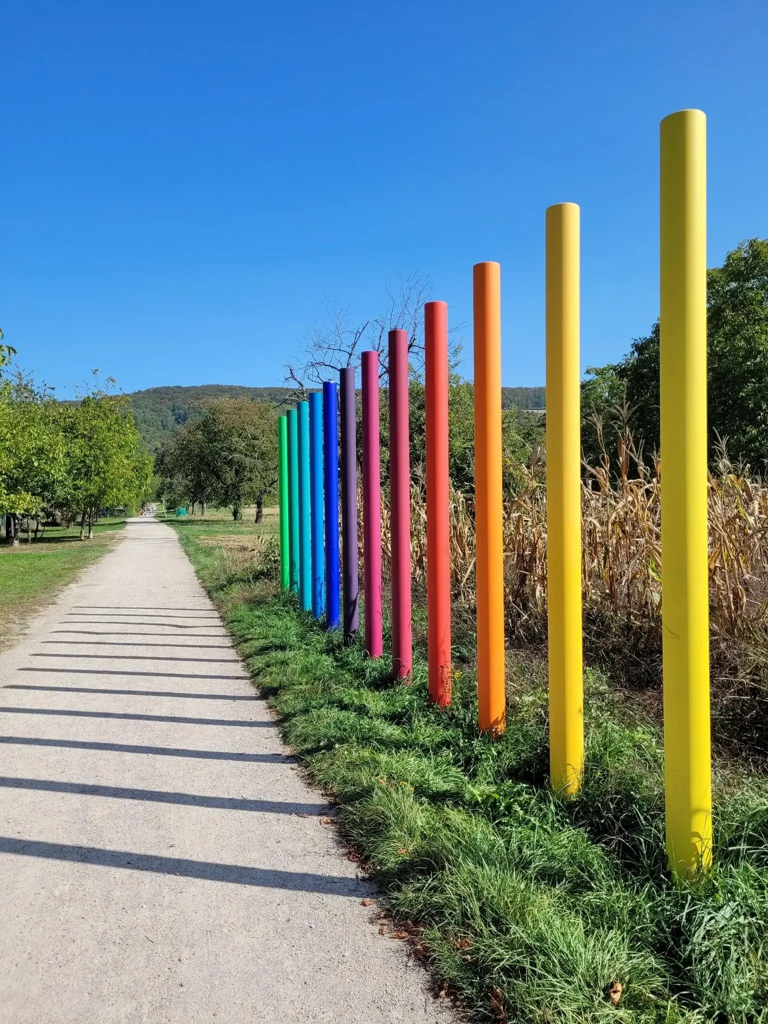
Outdoor Art – art trails in the Black Forest
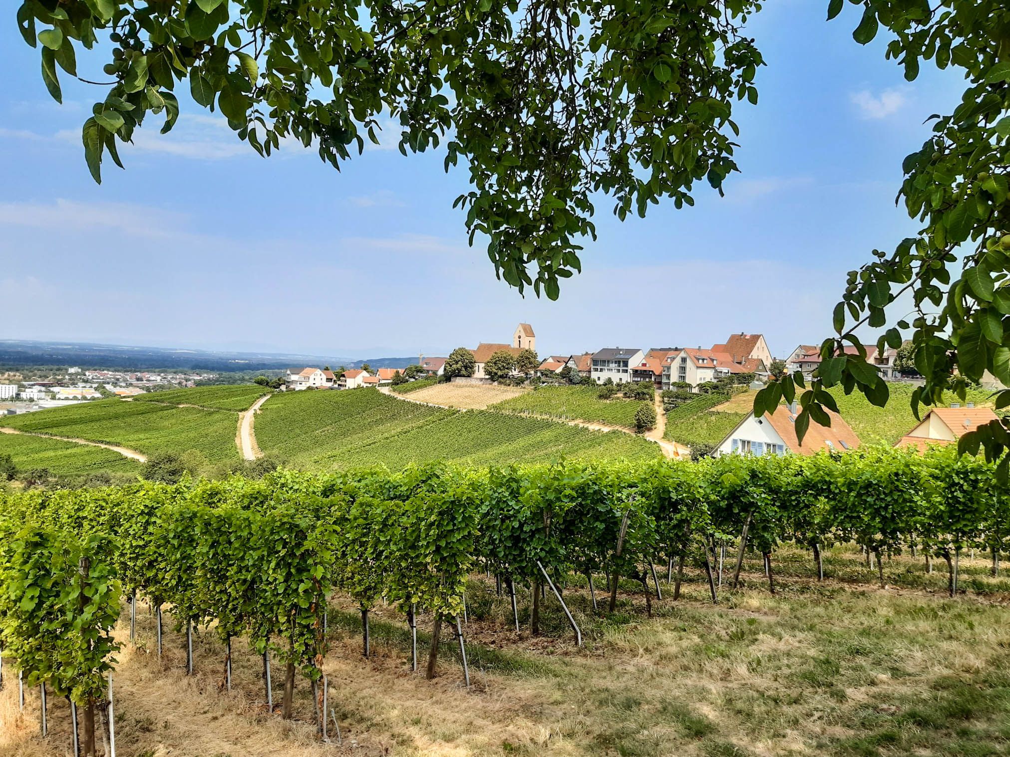
Leave all borders behind you – Three-Country Hiking Trail
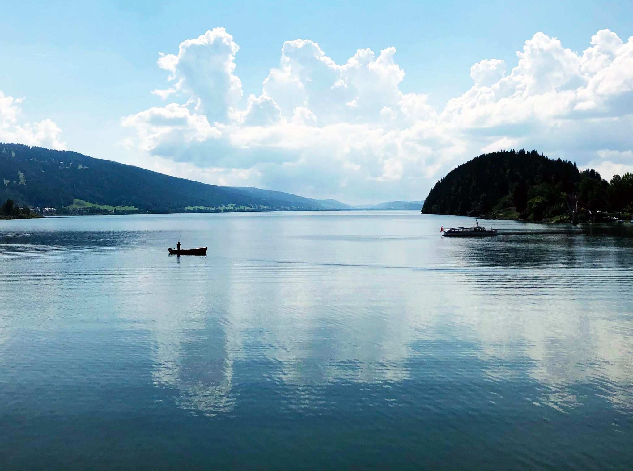
Cycling the Jura from Basel to Lake Geneva in 6 stages

The Rhine Cycle Path — From the source to the North Sea
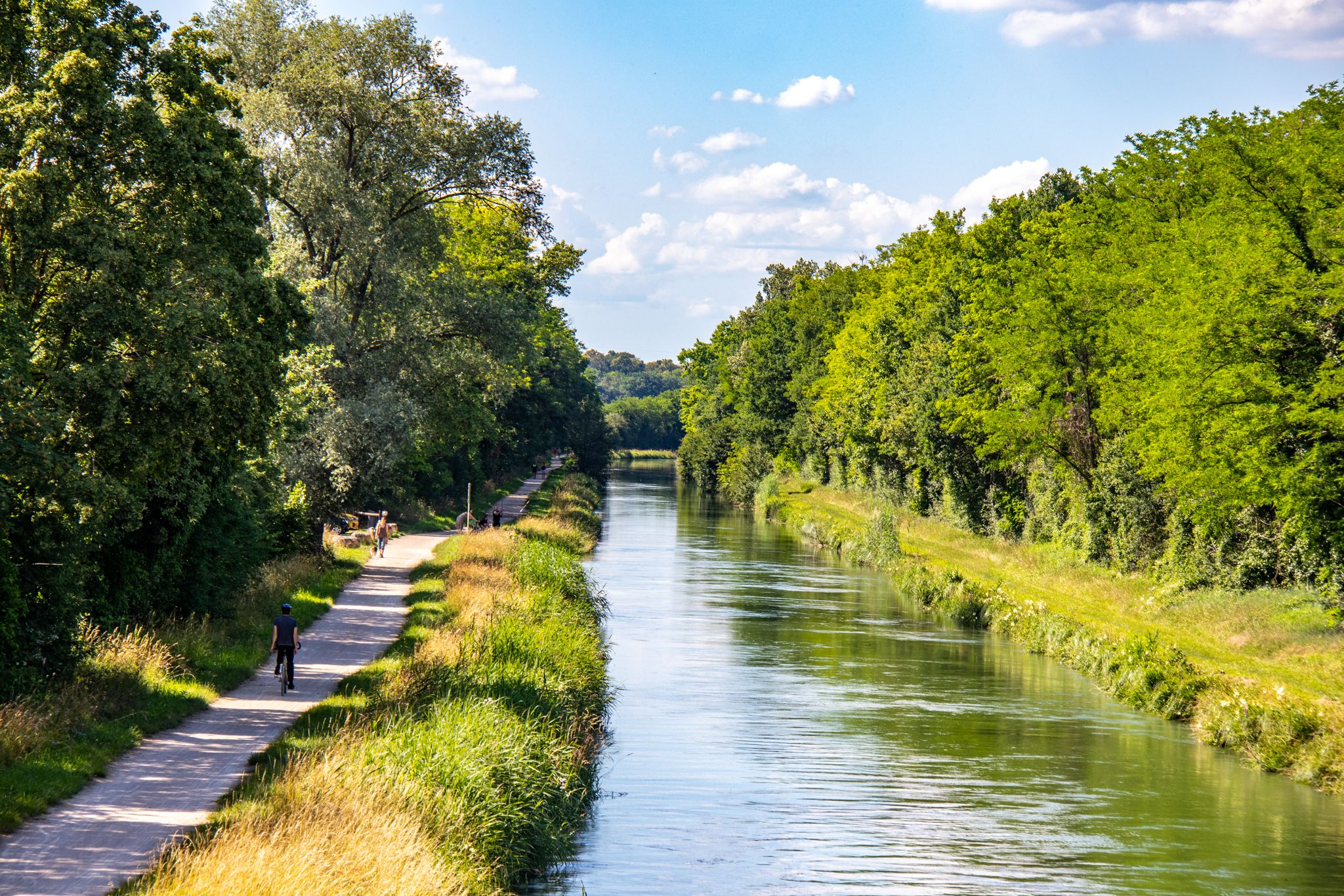
EuroVelo 6 – between the Rhine and the Loire by bike

Every cycling trip is a little holiday – bike to work Challenge 2026
Other adventures around Basel Stadt


Tips from the Community


Beautiful fountain in the old town of Basel
2
0
Small alley in the old town of Basel
1
0
Beautiful place in Münster. Fountain and trees.
1
0
Beautiful old railway viaduct, there are enough new ones.
1
0
Nice cycle path at the animal park.
1
0
Beautiful view of the meadow and the park.
0
0

super mega beautiful here
2
0
Frequently Asked Questions
How many easy hiking trails are available in Basel-Stadt?
Basel-Stadt offers a wide selection of easy hiking trails, with over 360 routes specifically categorized as easy. These trails are designed for gentle gradients and accessible paths, making them suitable for a relaxed outdoor experience.
What kind of terrain can I expect on easy hikes in Basel-Stadt?
Easy hikes in Basel-Stadt feature diverse terrain, including serene plains, picturesque river valleys along the Rhine, Wiese, and Birs, and areas with forests and vineyards. You'll find a harmonious blend of natural beauty and urban sights, with generally gentle gradients.
What do other hikers enjoy most about easy trails in Basel-Stadt?
The easy hiking routes in Basel-Stadt are highly rated by the komoot community, with an average score of 4.5 stars from over 1,100 reviews. Hikers often praise the combination of urban sights with accessible green spaces and river paths, as well as the well-maintained trails.
Are the easy hiking trails in Basel-Stadt accessible by public transport?
Yes, many hiking trails in Basel-Stadt are easily accessible via public transport. The region is well-connected, and visitors staying in Basel often receive a BaselCard, which provides free use of local public transportation, simplifying travel to various starting points.
Are there circular easy hiking routes in Basel-Stadt?
Yes, many easy routes in Basel-Stadt are designed as loops, allowing you to start and end at the same point. Examples include the Middle Bridge (Mittlere Brücke), Basel – Basel Cathedral loop from Basel SBB, which combines historical city sights with riverside paths, and the Tinguely Museum – Rhine Beach, Basel loop from Basel.
Are the easy trails in Basel-Stadt suitable for families with children?
Absolutely. Basel-Stadt offers several family-friendly easy trails. For instance, the five-kilometer route to Lange Erlen Animal Park along the Wiese river is ideal for beginners and families. The Bruderholz Nature Trail also provides an engaging experience with 32 stations offering insights into local nature and farming practices.
Can I bring my dog on easy hikes in Basel-Stadt?
Generally, dogs are welcome on easy hiking trails in Basel-Stadt. It's always recommended to keep your dog on a leash, especially in urban areas, nature reserves, or near wildlife. Please be mindful of local regulations and other hikers.
What natural features can I discover on easy hikes around Basel-Stadt?
Easy hikes in Basel-Stadt allow you to explore diverse natural features. You can walk along the Rhine, Wiese, and Birs river valleys, discover dense forests, and enjoy serene plains. Highlights include the Lange Erlen Park and Wiese River, and the Ruschbach Valley Trail.
Are there historical or cultural landmarks along easy hiking routes in Basel-Stadt?
Yes, Basel-Stadt skillfully integrates its cultural heritage with its outdoor offerings. Easy routes often pass by historical sites like the Middle Bridge (Mittlere Brücke), Basel, the Basel Cathedral, and the Basel Market Square. The Rehberger-Weg also offers a unique art trail experience.
Are there any viewpoints on easy hikes in Basel-Stadt?
While many easy hikes stay within the city or river valleys, elevated points like St. Chrischona (the highest point in the canton) and the Gempenturm offer sweeping panoramic views. You can often see the Vosges Mountains, the Black Forest, the Jura Mountains, and even the distant Swiss Alps on clear days from these higher vantage points, which can be accessed via slightly longer, but still manageable, routes.
What is the typical duration for easy hikes in Basel-Stadt?
Easy hikes in Basel-Stadt typically range from 1 to 2 hours, covering distances of 3 to 7 kilometers. For example, the Tinguely Museum – Birsköpfli loop from Basel is about 3.8 km and takes around 1 hour, while the Wiesenbrücke Am Sohleck – Sluice Gate on the Wiese River loop from Basel is 6.3 km and takes approximately 1 hour 40 minutes.
What is the best time of year for easy hiking in Basel-Stadt?
Basel-Stadt is suitable for easy hiking year-round due to its mild climate and accessible trails. Spring and autumn offer pleasant temperatures and beautiful scenery, while summer is great for riverside walks. Even in winter, many urban and forest paths remain enjoyable for a refreshing stroll.
Are there places to eat or drink near the easy hiking trails?
Yes, given Basel-Stadt's blend of urban and natural environments, you'll find numerous cafes, restaurants, and pubs conveniently located near many easy hiking trails, especially those along the Rhine or within the city. This makes it easy to combine your hike with a refreshment stop.
Most popular routes around Basel Stadt
Most popular attractions around Basel Stadt

Get inspired with the komoot mobile app


Didn’t find what you were looking for?
Check out more Hikes throughout Basel-Stadt below and find the perfect route in your destination.
Explore more
Browse the best Hikes in other regions.
