The best hikes from bus stations in Mainz
4.5
(3679)
22,098
hikers
539
hikes
Bus station hiking trails in Mainz offer access to a diverse landscape shaped by the Rhine River, expansive vineyards, and several forests. The region features varied terrain, from the flat river embankments to rolling hills within the Rheinhessen wine-growing area. Natural features include the Lenneberg Forest, Ober-Olmer Forest, and the unique Mainzer Sand Dunes Nature Reserve. These elements provide a range of hiking experiences for different preferences.
Best bus station hiking trails in Mainz
- The most popular bus station hiking…
Last updated: June 26, 2026
4.7
(390)
2,064
hikers
Moderate hike. Good fitness required. Easily-accessible paths. Suitable for all skill levels.
4.5
(193)
697
hikers
Moderate hike. Good fitness required. Easily-accessible paths. Suitable for all skill levels.

Sign up for free
4.6
(69)
286
hikers
9.72km
02:38
130m
130m
Moderate hike. Good fitness required. Easily-accessible paths. Suitable for all skill levels.
4.7
(73)
275
hikers
Easy hike. Great for any fitness level. Easily-accessible paths. Suitable for all skill levels.
4.4
(60)
231
hikers
Hard hike. Very good fitness required. Easily-accessible paths. Suitable for all skill levels.
Get access to more routes and recommendations from other explorers.
Sign up for free
Already have an account?
Our route recommendations are based on thousands of hikes, rides, and runs completed by other people on komoot.
Start today with a free account
Your next adventure awaits.
Login or Signup
Popular around Mainz

Hikes from bus stations in Nsg Höllenberg
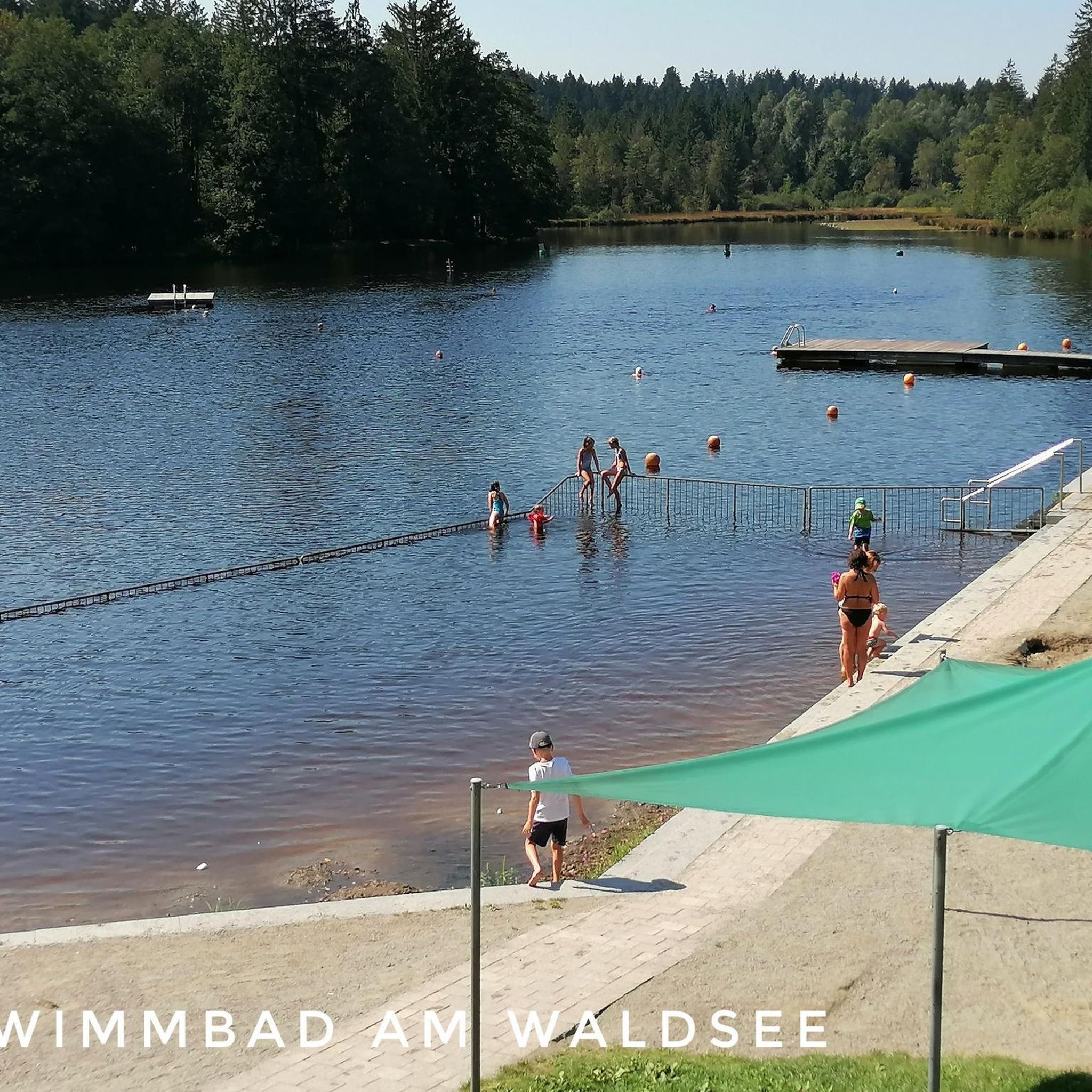
Hikes from bus stations in Nsg Laubenheimer-Bodenheimer Ried

Winter adventures by public transport – hikes for the whole family

On the Bonifatius Route from Mainz to Fulda
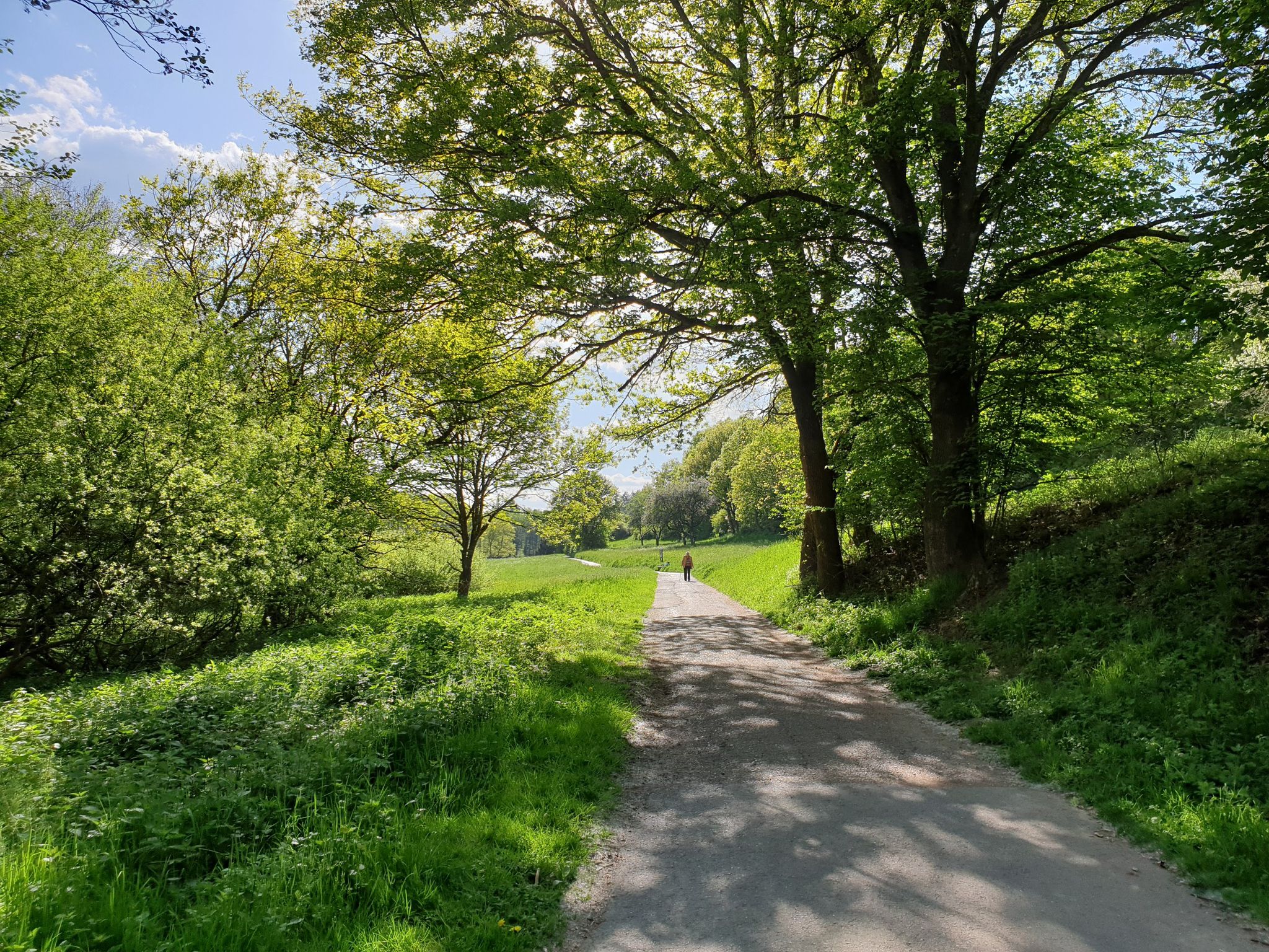
Culture, nature and good food in Hessen – gourmet Tours in the RMV region
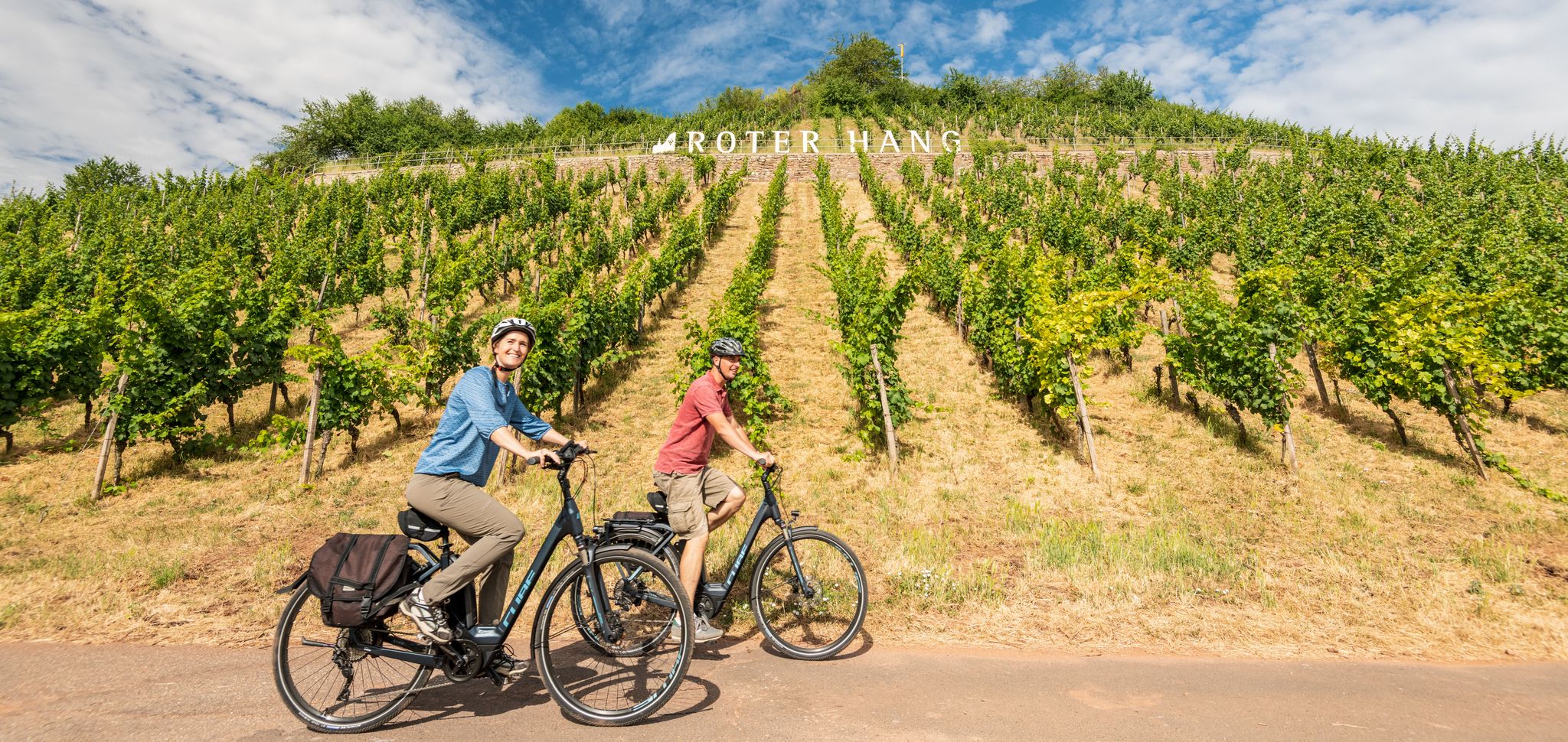
From the city to a sea of vines – cycling Tours in Rheinhessen
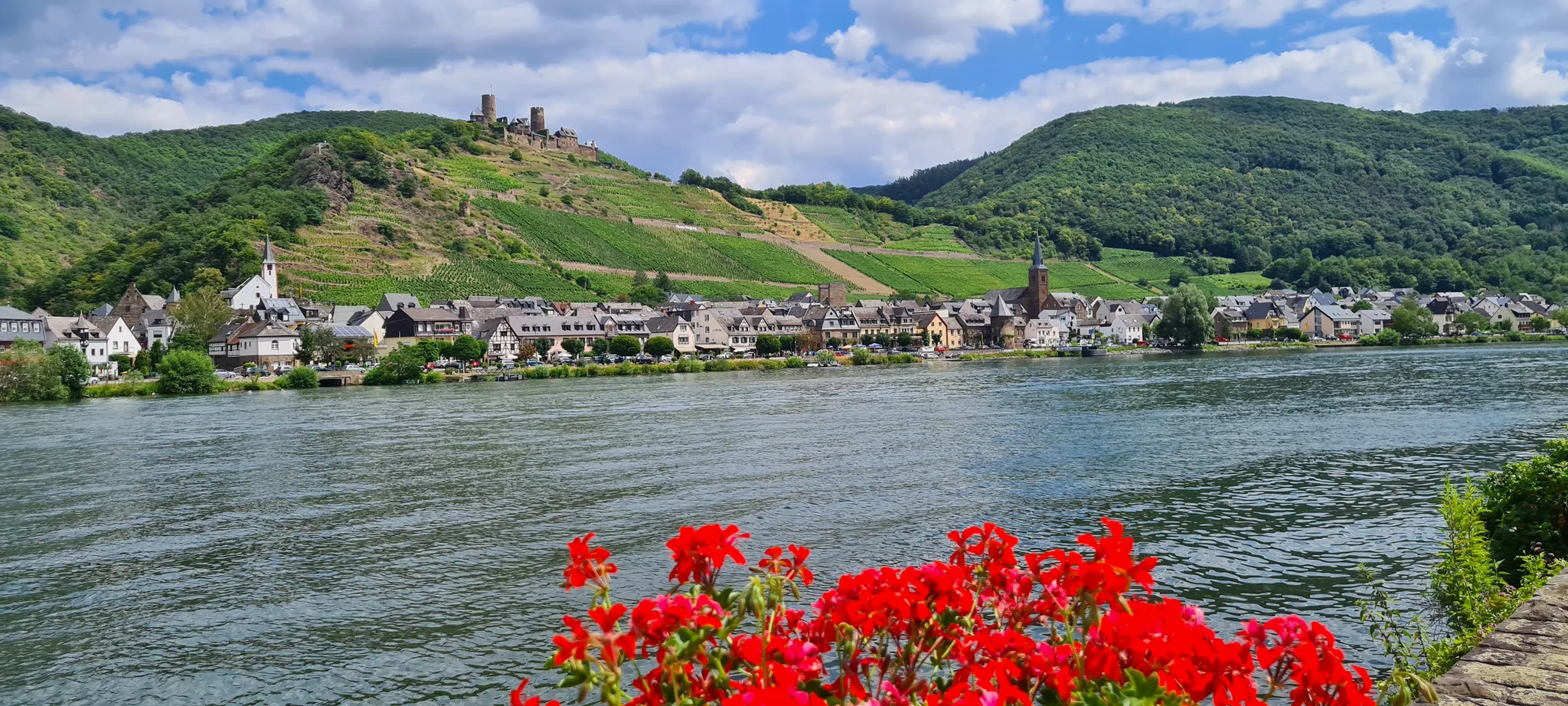
D-Route 5: Saar-Moselle-Main
Einfach durch Wiesbaden, Mainz, Darmstadt und Frankfurt am Main

Rheinhessen mit Aussicht - Die schönsten Panoramatouren in Rheinhessen

Weinerlebnis in der sanften Hügellandschaft in Rheinhessen
Other adventures in Mainz


Tips from the Community

With a total length of around 1,233 kilometers, the Rhine is one of the longest, most historically significant, and economically important rivers in Europe. The river originates in the Swiss Alps, where it is formed from the two headwaters, the Vorder- and Hinterrhein. After flowing through Lake Constance, it plunges down at the Rhine Falls near Schaffhausen and then, as the High Rhine, forms the border between Switzerland and Germany. Further on, as the Upper Rhine, it flows through the Upper Rhine Plain past major cities such as Karlsruhe and Ludwigshafen, as well as directly past the region of Mainz and Wiesbaden. In this area, the river makes a sharp turn west at the so-called "Rhine Knee" (Rheinknie) before reaching the spectacular Middle Rhine. This section between Bingen and Koblenz – known as the Upper Middle Rhine Valley (Obere Mittelrheintal) – has been protected as a UNESCO World Heritage site since 2002 due to its density of castles, historic vineyards, and the legend of the Loreley rock. Via the Lower Rhine (Niederrhein) and the metropolitan regions of Cologne and Düsseldorf, the Rhine finally continues into the Netherlands. There it divides into a widely branched delta and finally flows into the North Sea near Rotterdam. As an international waterway, the Rhine is the logistical backbone of Western Europe. It connects major industrial centers and seaports directly with the hinterland, and is used annually by tens of thousands of cargo ships for the transport of coal, ores, containers, and chemical goods. In addition to its industrial function, the Rhine Valley serves as a lifeline for tourism, as a rich source of energy through hydropower plants, and as a valuable natural and recreational area for millions of people.
8
0

Wall with crenellated corner towers, second half of the 19th century
1
0
The vending machine is located directly at the winery, nestled in the idyllic vineyards above Bodenheim. Here, the Rhine Terrace Trail and the Rhine Heights Trail intersect, as does the starting point of the Bodenheim Wine Trail. Our vending machine offers not only a fine selection of our wines, but also water and seasonal specialties such as mulled wine, sparkling wine, and chilled wine spritzers – available 24/7. Payment is conveniently possible in cash, by card, or contactless. Please have a photo ID or driver's license ready for age verification. Start your wine hike with perfectly chilled drinks – we wish you a pleasant experience!
1
0
Now also with a beautiful, covered viewing platform.
1
0

One of many benches with a beautiful view
0
0
The Hans-Zöller-Kreuz stands at 196 meters on the highest point of the Laubenheimer Höhe.
2
0
Today's Theodor Heuss Bridge connects the Rhineland-Palatinate state capital Mainz with the Mainz-Kastel district of the Hessian state capital Wiesbaden across the Rhine.
19
0
Frequently Asked Questions
How many bus station hiking trails are available in Mainz?
There are over 540 hiking routes in Mainz that are easily accessible from bus stations. This includes a wide variety of trails, from easy strolls to more challenging day hikes, ensuring options for all fitness levels.
What types of landscapes can I expect on bus-accessible hikes in Mainz?
Mainz offers a diverse range of landscapes for bus-accessible hikes. You can explore the scenic Rhine Promenade, wander through expansive vineyards in Rheinhessen, or discover tranquil paths in forests like the Lenneberg Forest. Unique areas like the Mainzer Sand Dunes Nature Reserve also offer distinct natural experiences.
Are there easy, family-friendly hiking options accessible by bus in Mainz?
Yes, Mainz has numerous easy and family-friendly hiking options accessible by bus. Over 400 of the available routes are classified as easy. For example, the Lenneberg Forest – Mainz Quarry Nature Reserve loop is an easy 5.6 km hike perfect for families, offering a pleasant experience in nature.
Can I find circular hiking routes from bus stations in Mainz?
Many of the bus-accessible hiking trails in Mainz are circular routes, allowing you to start and end your journey at the same bus stop without needing to retrace your steps. This is ideal for exploring areas like the Lenneberg Forest or the vineyards around Mainz.
What are some notable attractions or points of interest along these bus-accessible trails?
Along the bus-accessible trails, you can discover various points of interest. Highlights include the historic Mainz Cathedral, the picturesque Rhine Promenade, and the unique Frog Pond and Bird Observation Wagon in Lennebergwald. Many routes also offer views of the Rhine River and surrounding vineyards.
Are there any bus-accessible hikes that offer scenic viewpoints of the Frankfurt skyline?
Yes, some bus-accessible hikes provide stunning panoramic views, including glimpses of the Frankfurt skyline. The Wine educational trail – View of Frankfurt Skyline loop from Weisenau is a moderate 9.7 km route that offers such vistas, particularly from elevated vineyard paths.
What do other hikers enjoy most about hiking in Mainz?
The komoot community highly rates hiking in Mainz, with an average score of 4.5 stars from over 3,400 ratings. Hikers frequently praise the diverse scenery, from riverside paths to tranquil forests and vineyards, as well as the excellent accessibility via public transport.
Are there any longer or more challenging bus-accessible hikes in Mainz?
While many routes are easy or moderate, there are also more challenging options. For instance, the Stiftswingert at the Ritterstift – View of Frankfurt Skyline loop is a difficult 21.3 km hike that offers a longer and more strenuous experience with significant elevation changes, all accessible from a bus station.
Can I find hikes that combine nature with historical sites near bus stops?
Absolutely. Mainz's rich history is often intertwined with its natural landscapes. You can find routes that pass by historical landmarks like the Roman Stones Aqueduct Ruins or offer views of the Mainz Citadel, providing a blend of outdoor activity and cultural exploration, all conveniently reachable by bus.
What is the best time of year to enjoy bus-accessible hikes in Mainz?
Mainz offers enjoyable hiking experiences year-round. Spring brings blooming vineyards and forests, while summer is perfect for riverside walks. Autumn provides spectacular colors in the vineyards and forests, and even winter offers crisp, clear days for exploring, especially along the Rhine or in the Lenneberg Forest.
Are there any bus-accessible routes that lead to unique natural areas like sand dunes?
Yes, Mainz is home to the unique Mainzer Sand Dunes Nature Reserve, a relic of post-ice age steppe landscapes. You can find bus-accessible routes that lead through this area, offering a rare combination of Mediterranean and continental flora. An easy loop through the Mainzer Sand is a great way to experience this special environment.
Most popular routes in Mainz
Most popular attractions in Mainz

Get inspired with the komoot mobile app


Didn’t find what you were looking for?
Check out more Hikes throughout Mainz below and find the perfect route in your destination.
Explore more
Browse the best Hikes in other regions.
