The best traffic-free bike rides in Parco Delle Orobie Valtellinesi
4.5
(949)
38,066
riders
71
rides
No traffic road cycling routes in Parco Delle Orobie Valtellinesi traverse a landscape characterized by deep valleys, high mountain passes, and diverse ecosystems. The region features significant elevation changes, with routes winding through forests, alpine meadows, and historical areas. This area of the Orobie mountain range offers varied and demanding terrain for road cyclists.
Best no traffic road cycling routes in Parco Delle Orobie Valtellinesi
- The most popular no traffic road cycling route is Aprica Town Entrance Arch – Aprica…
Last updated: July 9, 2026
4.5
(2)
83
riders
18.8km
01:14
450m
450m
Moderate road ride. Good fitness required. Some segments of this route may be unpaved and difficult to ride.
18
riders
31.7km
02:13
920m
920m
Hard road ride. Very good fitness required. Mostly well-paved surfaces and easy to ride.

Sign up for free
11
riders
25.2km
01:53
820m
820m
Moderate road ride. Good fitness required. Mostly well-paved surfaces and easy to ride.
4.3
(12)
376
riders
Embark on a moderate road cycling journey along the Sentiero Valtellina from Sondrio to Tirano, covering 38.1 miles (61.3 km) with an elevation gain of 1022 feet (312 metres). This…
5.0
(2)
237
riders
120km
07:18
3,040m
3,040m
Hard road ride. Very good fitness required. Mostly well-paved surfaces and easy to ride.
Get access to more routes and recommendations from other explorers.
Sign up for free
Already have an account?
Our route recommendations are based on thousands of hikes, rides, and runs completed by other people on komoot.
Start today with a free account
Your next adventure awaits.
Login or Signup
Popular around Parco Delle Orobie Valtellinesi

Other adventures in Parco Delle Orobie Valtellinesi


Tips from the Community

Arrival pass of the stage of many international races and above all essential for passing various passes such as Passo Cristina, Passo Mortirolo and Tonale
0
0

Breathtaking view, even when frozen
0
0

Lago di Poschiavo / Puschlav Lake The Lago di Poschiavo, or Puschlav Lake in German, is located in the southern Graubünden municipality of Poschiavo/Puschlav. The natural reservoir is 962 meters above sea level. The lake is approximately 2.5 km long in a north/south direction and one kilometer wide. The Poschiavino river is both an inflow and outflow of the lake, which is up to 80 m deep at most. The Rhaetian Railway line runs along the western shore towards Brusio and Tirano in Italy. The village center of Poschiavo is about five kilometers north of the Puschlav Lake. On the lake itself are the villages of Miralago in the south and Le Prese in the north end. Both villages have Rhaetian Railway stops. The approximately seven-kilometer circular route around the Lago di Poschiavo can be completed in just under two hours. Since 2016, the "Sassalbo" has been a rentable boat on Lake Poschiavo. It is considered the largest passenger ship in the canton of Graubünden. Text / Source: schweizersee.ch https://www.schweizersee.ch/lago_di_poschiavo/
15
0
Poschiavo "Mediterranean lifestyle" Mediterranean lifestyle in the midst of an alpine backdrop. A small town whose townscape is protected because of its historical significance. Poschiavo also stands for culinary delights and cultural wealth. Experience this on a village tour through narrow streets, across the most beautiful village squares or in the important art museum. Text / Source: Switzerland Tourism / Switzerland Tourism https://www.myswitzerland.com/de-ch/reiseziele/poschiavo-im-puschlav/
14
0

Beautiful mountain village, rich in nature and activities that can be done both in winter and summer
0
0

bridge that crosses the Adda and leads to Castello dell'Acqua
0
0

Shadow on the Valtellina trail
1
0

Rest area with several tables, a place to light a fire and right next to the Pian di Gembro car parks. The tables are all in the sun and there is no fountain, so be prepared (although for those who are thirsty there are places on the road or in the flat area on the path a short distance away).
0
0
Frequently Asked Questions
How many no traffic road cycling routes are available in Parco Delle Orobie Valtellinesi?
There are over 60 dedicated no traffic road cycling routes in Parco Delle Orobie Valtellinesi, offering a variety of experiences from easy to difficult. This includes 10 easy routes, 33 moderate routes, and 17 challenging options for experienced cyclists.
What is the best time of year for no traffic road cycling in Parco Delle Orobie Valtellinesi?
The best time for no traffic road cycling in Parco Delle Orobie Valtellinesi is generally from late spring through early autumn (May to October). During these months, the mountain passes are typically clear of snow, and the weather is most favorable for enjoying the scenic roads and alpine meadows.
Are there any easy no traffic road cycling routes suitable for beginners or families?
Yes, Parco Delle Orobie Valtellinesi offers 10 easy no traffic road cycling routes. These routes often feature gentler gradients and allow you to enjoy the stunning landscapes without significant physical demands. While specific family-friendly routes are not detailed, the easier options are a good starting point.
What kind of terrain can I expect on these no traffic road cycling routes?
The terrain on no traffic road cycling routes in Parco Delle Orobie Valtellinesi varies significantly. You can expect challenging ascents and exhilarating descents through deep valleys and high mountain passes. Routes traverse diverse ecosystems, from lush forests at lower elevations to alpine meadows with panoramic views at higher altitudes. The region is known for its significant elevation changes.
What are some notable landmarks or natural features I might see along the no traffic road cycling routes?
Along the no traffic road cycling routes, you can encounter breathtaking natural features and historical sites. Highlights include the majestic Monte Legnone Summit, the historic Dordona Pass, and the impressive Pizzo dei Tre Signori. You might also pass through areas with remnants of the Cadorna Line from WWI, adding a historical dimension to your ride.
Are there any circular no traffic road cycling routes?
Yes, many of the no traffic road cycling routes in Parco Delle Orobie Valtellinesi are designed as loops. For example, you can explore the Aprica Town Entrance Arch – Aprica Pass loop from Aprica, or the Roadbike loop from Ponte in Valtellina, which offers a substantial climb and descent.
What do other road cyclists enjoy most about no traffic cycling in Parco Delle Orobie Valtellinesi?
The no traffic road cycling routes in Parco Delle Orobie Valtellinesi are highly rated by the komoot community, with an average score of 4.5 stars from over 700 reviews. Cyclists frequently praise the stunning panoramic views, the challenging yet rewarding ascents, and the peaceful experience of riding on roads free from heavy vehicle traffic, allowing for a truly immersive natural experience.
Are there places to stop for refreshments or accommodation along these routes?
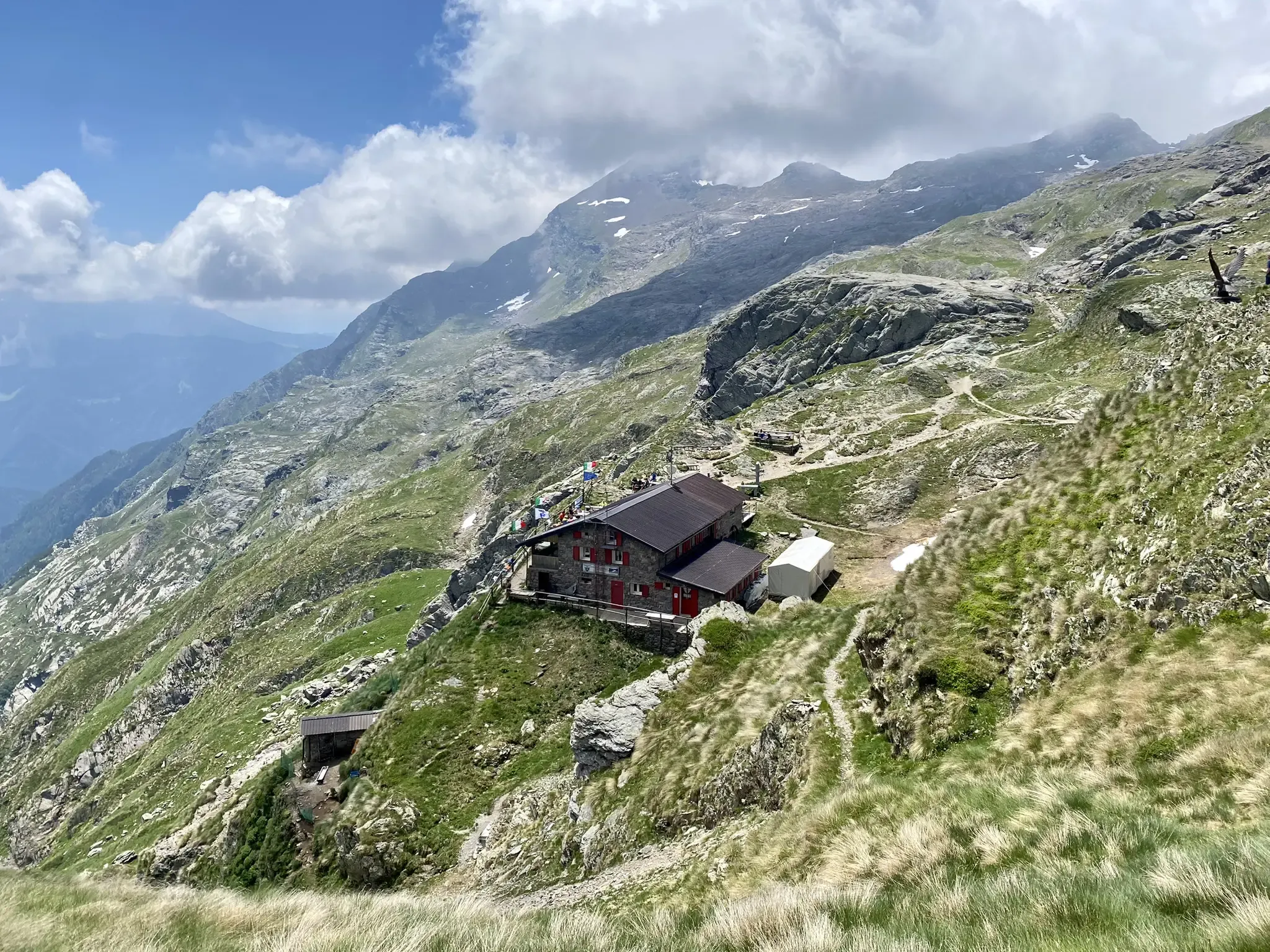
Yes, the region has a network of mountain huts and shelters that can serve as resting points or offer accommodation for multi-day excursions. Notable options include the Cesare Benigni Hut and the Nani Tagliaferri Hut. Many routes also pass through or near villages where cafes and other services are available.
How can I find parking for these no traffic road cycling routes?
Parking availability varies by starting point. For routes like the Rest Area in Tresenda – Via Inferno Climb loop from Ponte in Valtellina, designated rest areas often provide parking. For routes starting in towns like Aprica or Ponte in Valtellina, public parking lots are generally available. It is advisable to check specific route details for recommended parking locations.
Can I access these no traffic road cycling routes using public transport?
Public transport options to reach the starting points of these routes exist, particularly to larger towns within the Valtellina region. Buses and regional trains connect various points, though direct access to every specific trailhead might require some planning. The Sentiero Valtellina, a major cycle path at lower elevations, is well-served by public transport, and some no traffic road routes may connect to it.
Are there any particularly challenging no traffic road cycling routes for experienced riders?
Absolutely. For experienced riders seeking a significant challenge, routes like the Rest Area in Piateda – Via Inferno Climb loop from Ponte in Valtellina offer substantial elevation gains and demanding sections. The park's geography, with peaks reaching over 3000 meters, ensures plenty of formidable climbs and exhilarating descents on its 17 difficult routes.
Most popular routes in Parco Delle Orobie Valtellinesi
Most popular attractions in Parco Delle Orobie Valtellinesi

Get inspired with the komoot mobile app


Explore more
Browse the best Road cycling routes in other regions.
