The best running trails in Parco Delle Orobie Valtellinesi
5.0
(2)
285
runners
21
runs
Jogging routes in Parco Delle Orobie Valtellinesi traverse a varied terrain, from high-altitude crags and alpine meadows to coniferous and deciduous forests. The region is characterized by 14 valleys and peaks reaching over 3000 meters, including Pizzo Coca at 3,052 meters. Streams, small lakes, and bogs crisscross the landscape, adding to the natural features. An extensive network of paths and mule tracks, including sections of the 130 km Gran Via delle Orobie, provides numerous options for running.
Best jogging routes…
Last updated: July 7, 2026
5.0
(2)
30
runners
20.3km
03:21
1,200m
1,200m
Hard run. Very good fitness required. Sure-footedness, sturdy shoes and alpine experience required.
18
runners
16.2km
03:50
1,230m
1,230m
Hard run. Very good fitness required. Sure-footedness, sturdy shoes and alpine experience required.

Sign up for free
14
runners
12.4km
02:18
1,050m
1,050m
Hard run. Very good fitness required. Sure-footedness, sturdy shoes and alpine experience required.
13
runners
13.3km
02:38
890m
890m
Hard run. Very good fitness required. Sure-footedness, sturdy shoes and alpine experience required.
12
runners
10.5km
02:00
740m
750m
Hard run. Very good fitness required. Sure-footedness, sturdy shoes and alpine experience required.
Get access to more routes and recommendations from other explorers.
Sign up for free
Already have an account?
Our route recommendations are based on thousands of hikes, rides, and runs completed by other people on komoot.
Start today with a free account
Your next adventure awaits.
Login or Signup
Popular around Parco Delle Orobie Valtellinesi
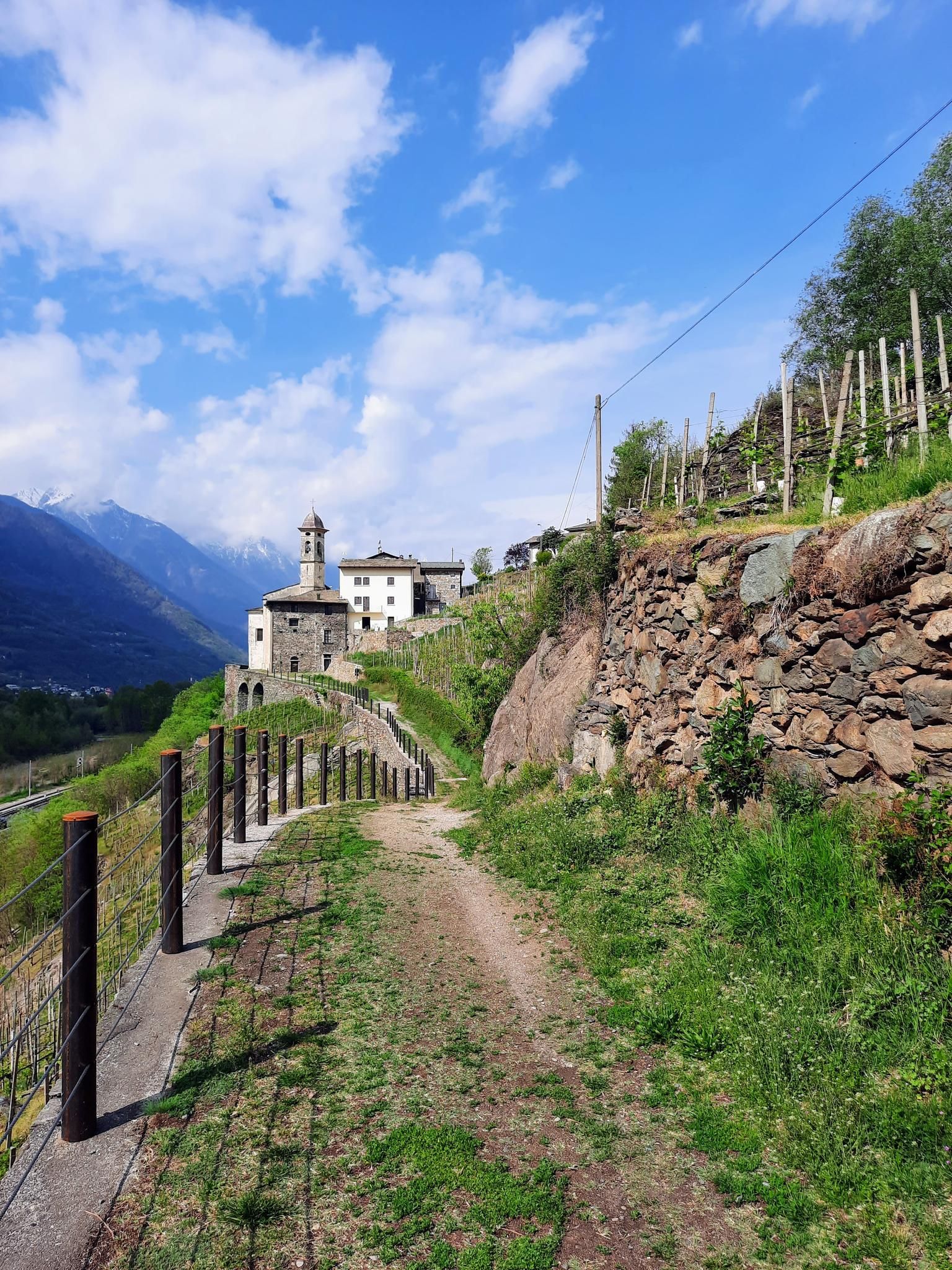
Hike in Valtellina in Italy – CamminaForeste in Lombardy part 5
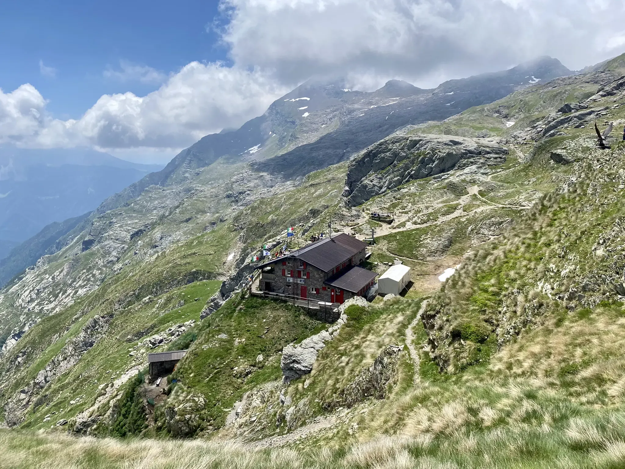
Antonio Curò nature route – two days in the Bergmanesque Alps
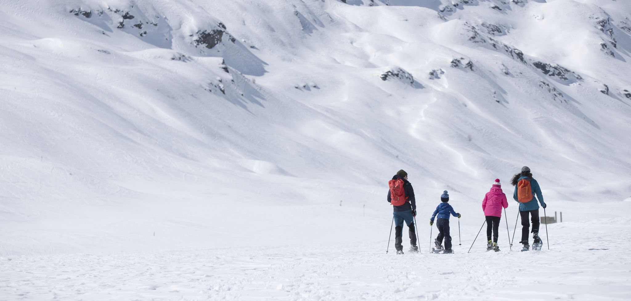
Inverno in Valtellina, a passo lento sulla neve
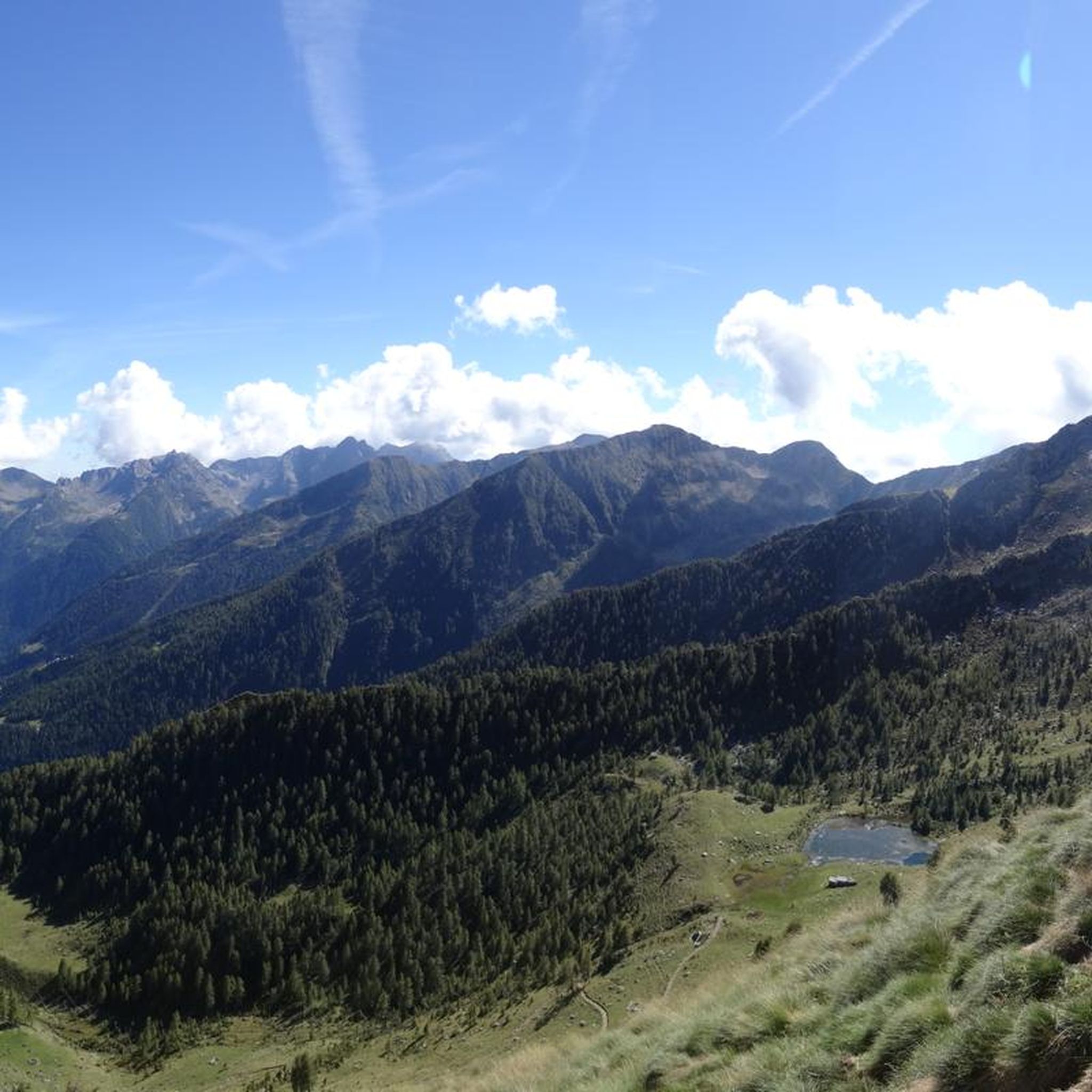
Hiking in Parco Delle Orobie Valtellinesi
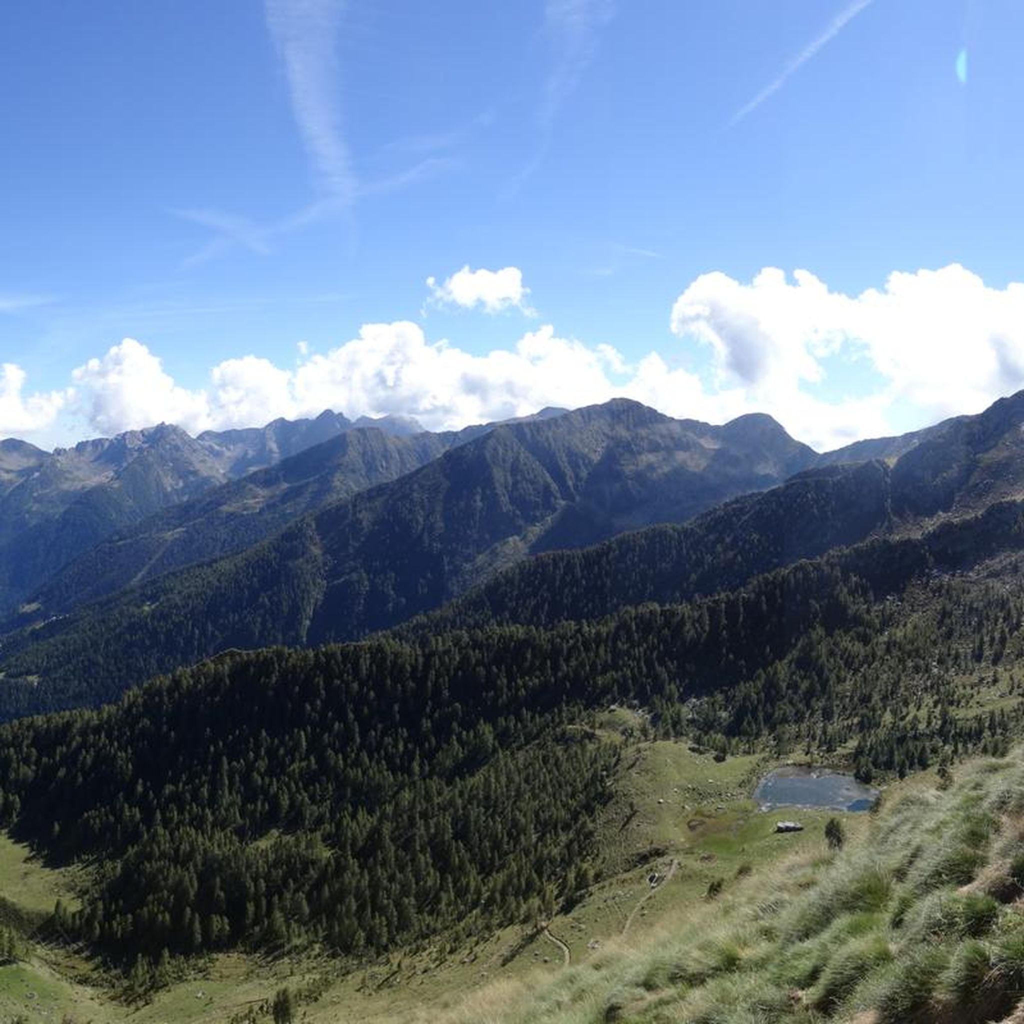
MTB Trails in Parco Delle Orobie Valtellinesi
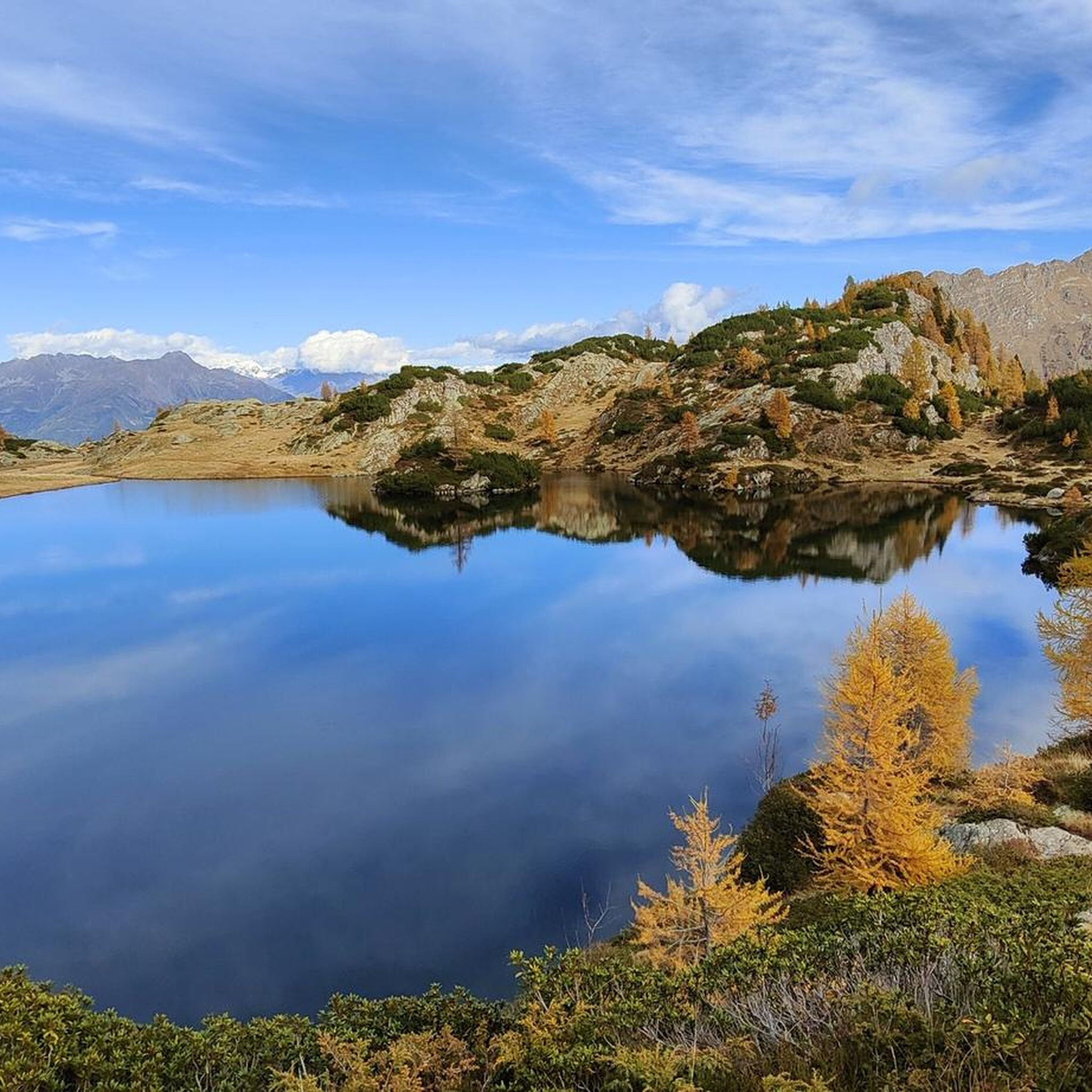
Road Cycling Routes in Parco Delle Orobie Valtellinesi
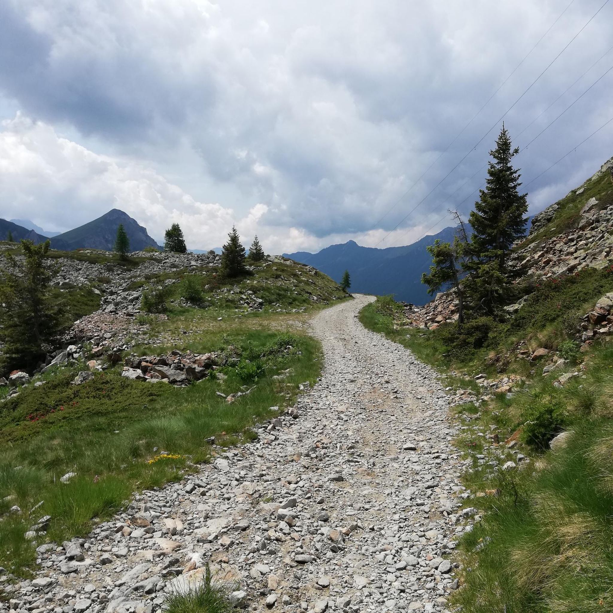
Cycling in Parco Delle Orobie Valtellinesi

Mountain Hikes in Parco Delle Orobie Valtellinesi

Gravel biking in Parco Delle Orobie Valtellinesi
Other adventures in Parco Delle Orobie Valtellinesi


Tips from the Community

The FALC refuge, at 2,120 m, is located in Valvarrone (LC), in the Orobie Alps. It offers beds in two dormitories and a restaurant service. Open from mid-June to the end of August, it can be reached from Premana or Introbio, and is the base for ascents to Pizzo Varrone and Pizzo dei Tre Signori. For more information: https://www.rifugiofalc.it/
1
0

Stunning mountain of the Orobie Alps
0
0
From the summit you can enjoy wonderful views
2
0
Although it is not the highest among the others nearby, from the summit you can enjoy wonderful views.
3
0

It takes a bit of luck to enjoy the great view that can be seen on a nice day.
1
0

Easy to reach summit after a very panoramic walk from Campelli. Panoramic view of the Disgrazia and Bernina groups, of Valmalenco and the adjacent valleys with the Scais and Venina lakes. Magnificent perspective on the Rhaetian Alps, the ridge path that leads to the cross is spectacular!
0
0
the furnace is the caves from which the iron was extracted
1
0
Hell Dam seen from below, the imposing concrete wall always makes an impression
1
0
Frequently Asked Questions
What is the general difficulty level of running routes in Parco Delle Orobie Valtellinesi?
The running routes in Parco Delle Orobie Valtellinesi are generally challenging. All 17 routes listed in this guide are rated as difficult, featuring significant elevation gains and varied terrain. For example, the Tour of the lakes of Pizzo Tre Signori route has over 1200 meters of elevation gain.
What kind of terrain can I expect on the running trails in this park?
Runners can expect a diverse range of terrain, from high-altitude crags and alpine meadows to coniferous and deciduous forests. Many routes, such as the Valtellina Orobie Trail, include natural, alpine, and unpaved sections, providing a true trail running experience. The landscape is also crisscrossed by streams and dotted with small lakes and bogs.
Are there any notable natural features or landmarks to see while running in Parco Delle Orobie Valtellinesi?
Yes, the park offers stunning natural features and landmarks. You can encounter peaks reaching over 3000 meters, including Pizzo Coca, and enjoy scenic lake views on routes like the Tour of the lakes of Pizzo Tre Signori. Other notable points include the Monte Legnone Summit and Pizzo dei Tre Signori. The Gran Via delle Orobie, a long-distance trail, also passes old iron mines and glaciers.
What do other runners say about the trails in Parco Delle Orobie Valtellinesi?
The running routes in Parco Delle Orobie Valtellinesi are highly rated by the komoot community, with an average score of 5.0 stars from 2 reviews. Over 100 runners have used komoot to explore the park's varied terrain, often praising the diverse ecosystems, high-altitude peaks, and extensive trail networks that offer challenging ascents and beautiful alpine meadows.
Are there any circular running routes available in the park?
Yes, several circular running routes are available. A popular option is the Cima Meriggio – loop tour, which is 12.4 km long and takes about 2 hours 18 minutes to complete, leading through beautiful mountain landscapes. Another is the Tour of the lakes of Pizzo Tre Signori, a 16.2 km loop with significant elevation gain.
Can I find places to stay or eat near the running trails?
Yes, the region offers some support infrastructure. The Gran Via delle Orobie trail, which has sections suitable for running, features several alpine refuges and agritourism options. These can provide potential rest stops or overnight accommodation for those undertaking longer runs. For specific locations, you might find options like Cesare Benigni Hut or Nani Tagliaferri Hut.
Are there any running routes that pass by lakes or water features?
Absolutely. The landscape of Parco Delle Orobie Valtellinesi is dotted with small lakes and bogs. The Tour of the lakes of Pizzo Tre Signori is a prime example, offering scenic lake views. Another route, Rifugio FARC and Lago dell'Inferno, specifically highlights a lake, providing refreshing points along your run.
What is the best time of year for running in Parco Delle Orobie Valtellinesi?
Given the high-altitude terrain and potential for snow-filled bowls, the best time for running in Parco Delle Orobie Valtellinesi is typically during the warmer months, from late spring through early autumn. This period ensures more accessible trails and more favorable weather conditions for enjoying the alpine meadows and peaks.
Are there any long-distance running options or multi-day trail running opportunities?
Yes, the park is home to the **Gran Via delle Orobie (GVO)**, a 130 km mountain route. While primarily a multi-day hiking trail, it offers numerous sections suitable for extended jogging or trail running. This extensive network of paths and mule tracks provides opportunities for long-distance challenges and immersive experiences in nature.
What kind of wildlife might I encounter on the trails?
Parco Delle Orobie Valtellinesi is known for its diverse fauna. While running, you might spot chamois, ibex, red deer, mouflons, marmots, and various birds of prey like golden eagles. The western capercaillie is even the park's symbol. The unspoiled nature of the park offers a good chance for wildlife sightings, especially in quieter areas.
Are there any less strenuous running options for beginners or families?
While many routes in this guide are rated as difficult, the park does feature trails suitable for various fitness levels. The diverse ecosystems include alpine meadows and forests, which can offer less strenuous sections. It's advisable to check individual route descriptions for elevation profiles and distances to find options that match your comfort level, as the guide primarily lists challenging routes.
How many running routes are available in Parco Delle Orobie Valtellinesi?
There are 17 running routes available in Parco Delle Orobie Valtellinesi listed in this guide. These routes offer a variety of experiences across the park's diverse terrain, from challenging ascents to scenic paths through alpine meadows.
Are there any specific routes known for their panoramic views?
Many routes in the park offer breathtaking panoramic views due to the high-altitude peaks. The I Laghi di Torena route, for instance, provides stunning vistas of the surrounding mountain landscapes and lakes. The general topography with peaks over 3000 meters ensures numerous opportunities for scenic overlooks.
Most popular routes in Parco Delle Orobie Valtellinesi
Most popular attractions in Parco Delle Orobie Valtellinesi

Get inspired with the komoot mobile app


Explore more
Browse the best Running Trails & Routes in other regions.
