Nationalpark Hunsrück-Hochwald
Nationalpark Hunsrück-Hochwald
The best hikes from bus stations in Nationalpark Hunsrück-Hochwald
4.5
(4074)
15,374
hikers
68
hikes
Bus station hiking trails in Nationalpark Hunsrück-Hochwald traverse a landscape characterized by rolling hills, deep valleys, and extensive beech and oak forests. The park features diverse natural elements, including rare moors, heathlands, and peat bogs. The highest point, Erbeskopf, at 818 meters, offers elevated hiking experiences and views. Tranquil streams and varied habitats contribute to the region's biodiversity.
Best bus station hiking trails in Nationalpark Hunsrück-Hochwald
- The most popular bus station hiking route is Hike around Wildenburg in the Hunsrück – hiking in the footsteps of the wildcat, a 3.4 miles (5.5 km) trail that takes 1 hour 33 minutes to complete. This easy route explores the area around Wildenburg, known for its wildlife.
- Another top favourite among local hikers is View of the Nonnweiler Dam – Nonnweiler Reservoir loop from Nonnweiler, a moderate 8.6 miles (13.9 km) path. This trail offers views of the Nonnweiler Dam and reservoir, winding through the surrounding natural environment.
- Local hikers also love the Hunnenring Spring – King's Square at the Hunnenring loop from Otzenhausen, a 3.4 miles (5.5 km) trail leading through historical landscapes, often completed in about 1 hour 39 minutes.
- Hiking in Nationalpark Hunsrück-Hochwald is defined by dense forests, rolling hills, and varied terrain including moors and valleys. The network offers options for different ability levels, from easy walks to more challenging ascents.
- The routes in Nationalpark Hunsrück-Hochwald are highly rated by the komoot community with an average score of 4.6 stars from more than 3,700 reviews. More than 15,000 hikers have used komoot to explore Nationalpark Hunsrück-Hochwald's varied terrain.
Last updated: July 9, 2026
4.9
(57)
185
hikers
Easy hike. Great for any fitness level. Easily-accessible paths. Suitable for all skill levels.
4.8
(322)
1,084
hikers
13.9km
03:48
210m
210m
Moderate hike. Good fitness required. Easily-accessible paths. Suitable for all skill levels.

Sign up for free
4.8
(52)
232
hikers
5.49km
01:40
170m
170m
Moderate hike. Great for any fitness level. Mostly accessible paths. Sure-footedness required.
4.7
(42)
143
hikers
Moderate hike. Good fitness required. Mostly accessible paths. Sure-footedness required.
4.7
(38)
161
hikers
3.03km
00:59
120m
120m
Moderate hike. Great for any fitness level. Mostly accessible paths. Sure-footedness required.
Get access to more routes and recommendations from other explorers.
Sign up for free
Already have an account?
Our route recommendations are based on thousands of hikes, rides, and runs completed by other people on komoot.
Start today with a free account
Your next adventure awaits.
Login or Signup
Popular around Nationalpark Hunsrück-Hochwald

Saar-Hunsrück Climb – Hike in Germany where culture and nature meet
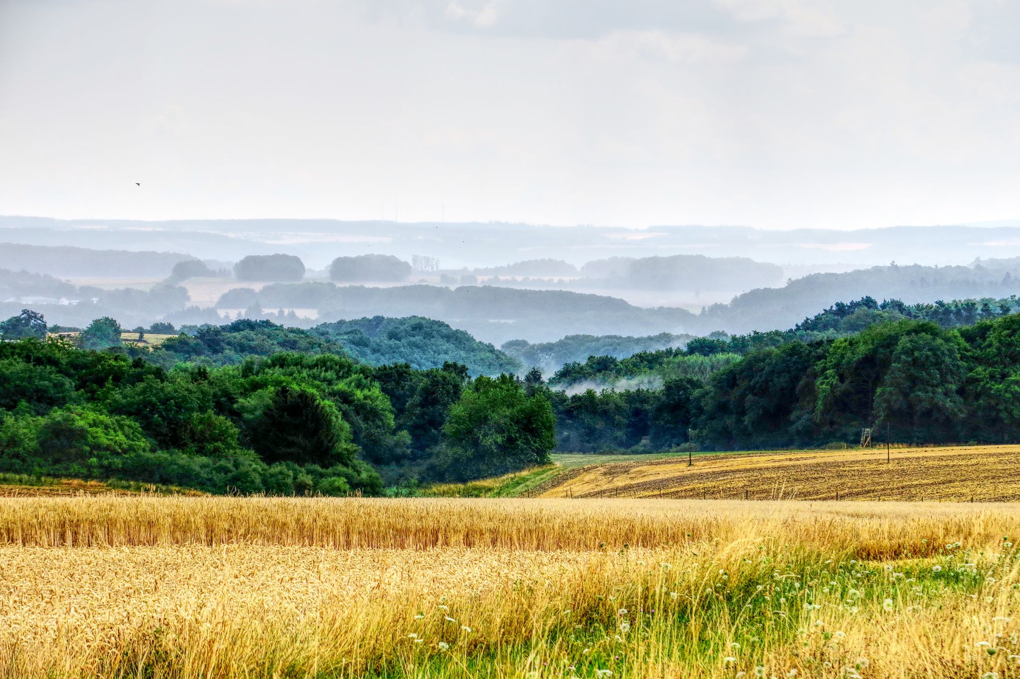
The National Natural Landscapes in Rheinland-Pfalz
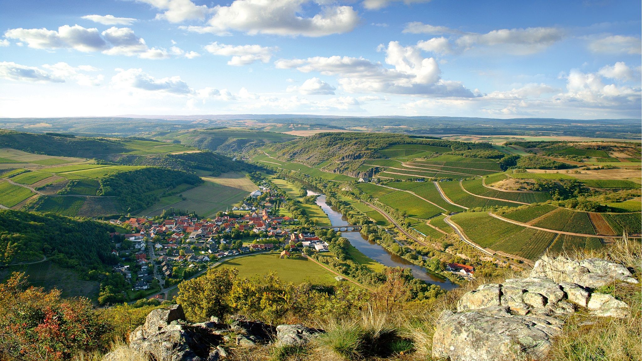
Top 10 hiking loops on the Nahe – Dream Loops and Vitaltours

Hike with BUND on the trail of the European wildcat

Satisfy your Wanderlust – premium hiking trails in Saarland

Lowest to Highest (L2H) in Germany

Countless trails, nature & history – hiking in Saarland
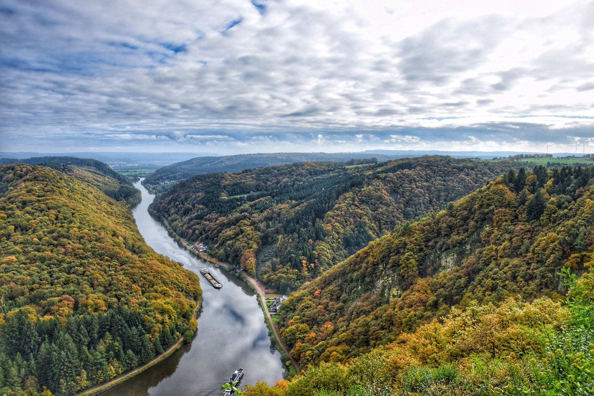
10 enchanting hikes through wild nature in Saarland
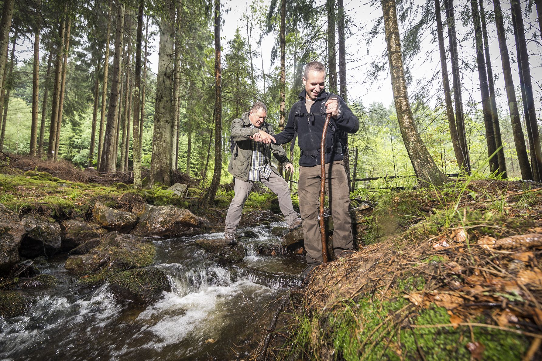
Off to the wild – hiking in the Birkenfelder Land
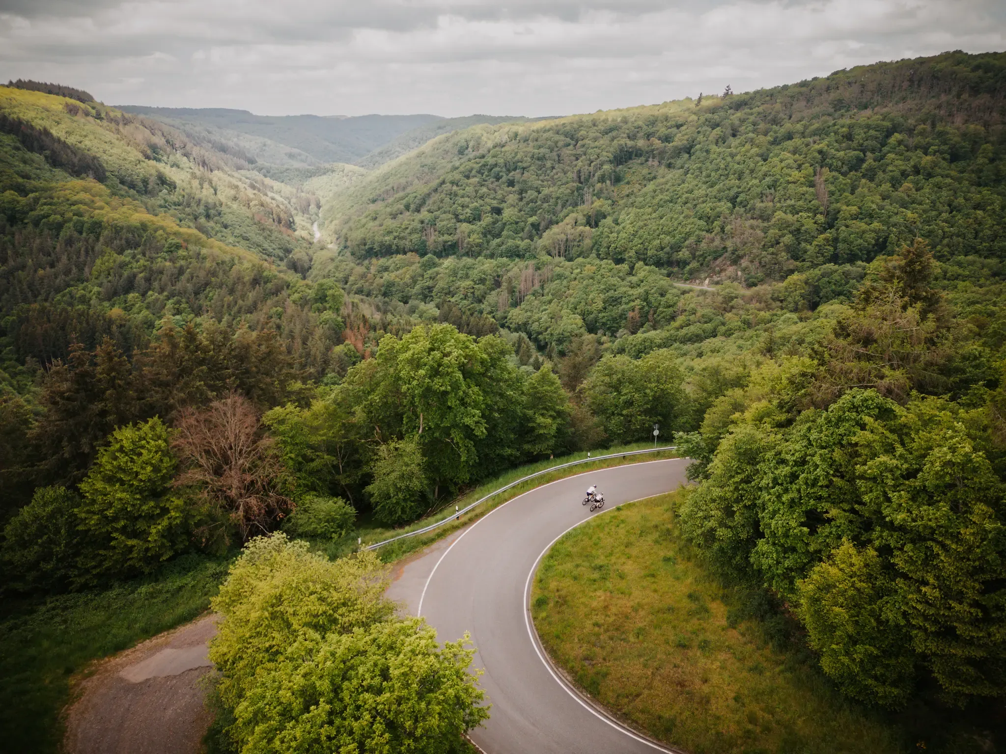
Make your road cycling dreams come true in the Hunsrück-Nahe region
Other adventures in Nationalpark Hunsrück-Hochwald


Tips from the Community

Varied and slightly challenging ascent up to the Celtic ring wall (Hunnenring).
4
0


There is a very nice view of the reservoir from the top of the Hunnenring.
0
0

The Nonnweiler Dam is the largest drinking water reservoir in Saarland and a popular tourist destination. A beautiful circular trail leads directly along the water, offering magnificent views of the reservoir. Especially in summer, the tranquil surroundings invite you to relax and enjoy nature. The clear water and the dense forests surrounding it make this place unique.
3
0

This weathered stone structure acts like a silent sentinel over the snow-covered Hunsrück Forest. Presumably once part of an ancient defensive or viewing position, it now stands solitary and open on the edge of the Burr Plateau – surrounded by ice, rocks, and gnarled branches. An atmospheric place steeped in history and offering a panoramic view. 💡 Tip 🧭 Approach carefully – on a clear day, the view through the walls opens up deep into the Nahe Valley.
1
1

We planned to refill our water supplies here for our overnight stay at the "Keltenlager" trekking site on May 1, 2025. Unfortunately, the spring had dried up, and we had to walk to the dam further downstream for water. Here, we found a bubbling spring just above the trail.
2
0
📍 Along the Hubertusrunde There's a bench there – well-placed with a view of the valley. But today: fog, a gray horizon, no visibility. And yet – or perhaps because of that – it was a special moment. The silence, the damp air, the wide view into nothingness. You sit, hear nothing – and think a lot. 💡 Tip: Whether it's sunny or foggy, this bench invites you to pause. On a clear day, there's a panorama – on a foggy day, a very special kind of expanse.
1
1
The tower was unfortunately closed during our visit, but it's still a striking landmark on the tour. Even from below, it looks impressive and fits perfectly into the landscape. 💡 Tip: It's worth a quick stop even without climbing it—the area around it is a great place to linger.
0
1
Frequently Asked Questions
How many bus-accessible hiking trails are available in Nationalpark Hunsrück-Hochwald?
There are over 70 hiking routes in Nationalpark Hunsrück-Hochwald that are accessible from bus stations, offering a wide range of experiences for all skill levels.
What is the general difficulty level of bus-accessible hikes in the park?
The majority of bus-accessible hikes in Nationalpark Hunsrück-Hochwald are considered easy to moderate. Approximately 30 routes are easy, 37 are moderate, and a few are more challenging, ensuring options for every hiker.
What natural features or landmarks can I expect to see on bus-accessible hikes?
Many bus-accessible routes lead to significant natural and historical sites. You can explore the impressive Celtic Ring Wall (Hunnenring), enjoy views of the Nonnweiler Dam and Nonnweiler Reservoir, or discover the unique Mannfels Rock Formation. The park is also known for its extensive beech and oak forests, rare moors, and tranquil streams.
Are there any family-friendly bus-accessible hikes in Nationalpark Hunsrück-Hochwald?
Yes, the park offers several family-friendly options. The area around the Wildenburg National Park Gate is particularly popular, featuring a wildlife enclosure. An easy route like the Hike around Wildenburg in the Hunsrück is a great choice for families, offering a shorter distance and minimal elevation gain.
Can I bring my dog on bus-accessible hiking trails in the park?
Generally, dogs are welcome on trails in Nationalpark Hunsrück-Hochwald, but they must be kept on a leash to protect wildlife. Always check specific trail regulations or local signage, especially in sensitive areas or near wildlife enclosures. Public transport rules for dogs may also apply.
What do other hikers enjoy most about hiking in Nationalpark Hunsrück-Hochwald?
The trails in Nationalpark Hunsrück-Hochwald are highly rated by the komoot community, with an average score of 4.55 stars. Hikers frequently praise the diverse and untouched landscapes, the well-marked trails, and the opportunity to experience rich biodiversity, including the European wildcat.
Are there circular routes accessible from bus stations?
Yes, many of the bus-accessible routes are circular, allowing you to start and end your hike at the same bus stop. For example, the View of the Nonnweiler Dam – Nonnweiler Reservoir loop from Nonnweiler is a moderate circular route that offers scenic views.
What is the best time of year to hike in Nationalpark Hunsrück-Hochwald using public transport?
Spring, summer, and autumn are ideal for hiking in Nationalpark Hunsrück-Hochwald. Spring brings blooming flora, summer offers lush greenery, and autumn showcases vibrant fall colors. While winter hiking is possible, some bus services might be reduced, and trail conditions can be more challenging due to snow or ice.
Are there any historical sites along bus-accessible routes?
Absolutely. The park is rich in cultural history. A notable historical site is the Celtic Ring Wall (Hunnenring) near Otzenhausen, which you can explore on routes like the Hunnenring Spring – King's Square at the Hunnenring loop from Otzenhausen. Medieval castle ruins also dot the landscape, adding a cultural dimension to your hike.
How can I find bus schedules and specific stops for trailheads?
For the most accurate and up-to-date bus schedules and stop information, it is best to consult the local public transport provider's website or use a regional journey planner. The National Park Gates at Erbeskopf, Celtic Park, and Wildenburg often serve as key hubs and starting points for tours, likely with good bus connections.
Are there shorter, easy loops for a quick outing from a bus stop?
Yes, if you're looking for a shorter, less strenuous option, routes like the Hunnenring Spring – Mannfels Rock Formation loop from Otzenhausen offer a moderate but relatively short distance, perfect for a quick exploration of the park's unique features.
Most popular routes in Nationalpark Hunsrück-Hochwald
Most popular attractions in Nationalpark Hunsrück-Hochwald

Get inspired with the komoot mobile app


Explore more
Browse the best Hikes in other regions.
