Nationalpark Hunsrück-Hochwald
Nationalpark Hunsrück-Hochwald
The best road cycling routes in Nationalpark Hunsrück-Hochwald
4.5
(377)
4,467
riders
301
rides
Road cycling routes in Nationalpark Hunsrück-Hochwald traverse a landscape characterized by rolling hills, dense forests, and river valleys. The region, part of the Hunsrück mountain range, offers varied terrain suitable for road cyclists. Elevations are generally moderate, with some challenging ascents, providing diverse riding experiences. The national park environment ensures routes are often surrounded by natural scenery.
Best road cycling routes in Nationalpark Hunsrück-Hochwald
- The most popular road cycling route is Nahe Bridge – Community Center Hahnenbach loop from Kirschweiler…
Last updated: July 16, 2026
1.0
(1)
30
riders
63.7km
02:55
720m
720m
Moderate road ride. Good fitness required. Mostly well-paved surfaces and easy to ride.
4
riders
75.3km
04:03
1,400m
1,400m
Hard road ride. Very good fitness required. Mostly well-paved surfaces and easy to ride.

Sign up for free
5.0
(1)
9
riders
102km
05:43
1,870m
1,870m
Hard road ride. Very good fitness required. Some segments of this route may be unpaved and difficult to ride.
4
riders
92.2km
04:52
1,410m
1,410m
Hard road ride. Very good fitness required. Some segments of this route may be unpaved and difficult to ride.
9
riders
Moderate road ride. Good fitness required. Some segments of this route may be unpaved and difficult to ride.
Get access to more routes and recommendations from other explorers.
Sign up for free
Already have an account?
Our route recommendations are based on thousands of hikes, rides, and runs completed by other people on komoot.
Start today with a free account
Your next adventure awaits.
Login or Signup
Popular around Nationalpark Hunsrück-Hochwald
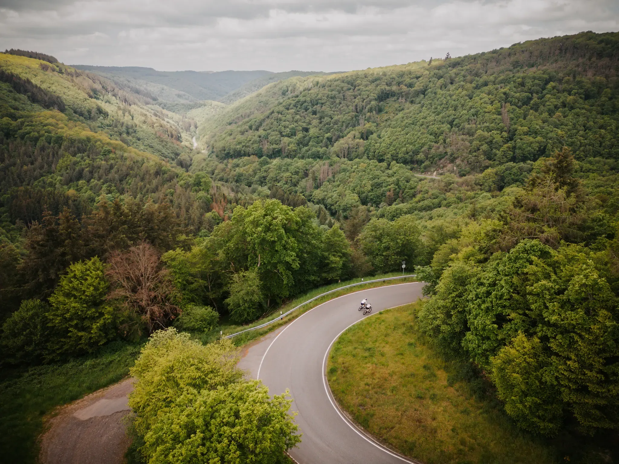
Make your road cycling dreams come true in the Hunsrück-Nahe region

Saar-Hunsrück Climb – Hike in Germany where culture and nature meet
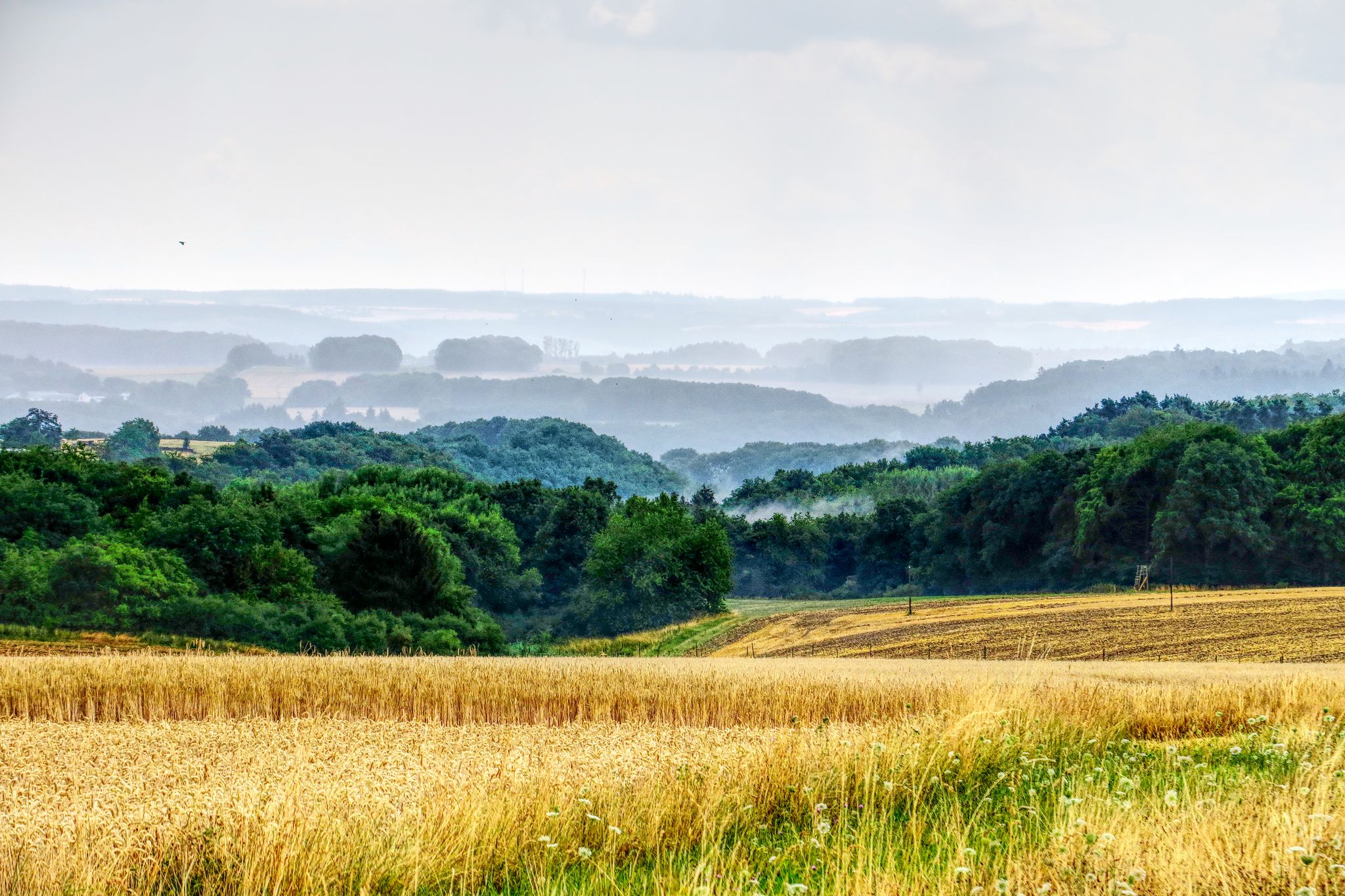
The National Natural Landscapes in Rheinland-Pfalz
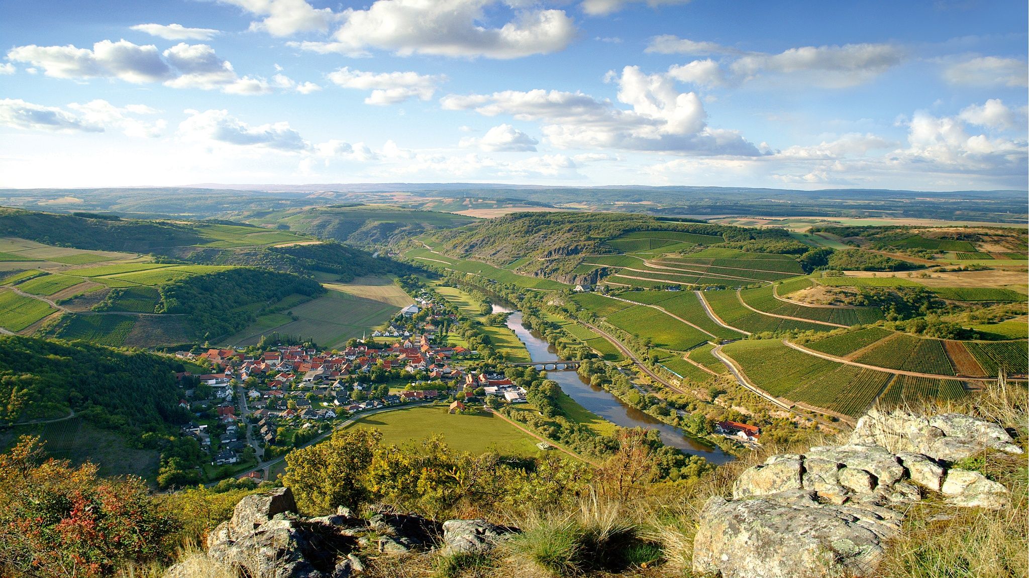
Top 10 hiking loops on the Nahe – Dream Loops and Vitaltours
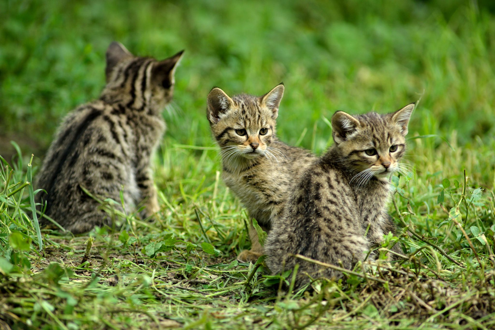
Hike with BUND on the trail of the European wildcat

Satisfy your Wanderlust – premium hiking trails in Saarland

Lowest to Highest (L2H) in Germany

Countless trails, nature & history – hiking in Saarland
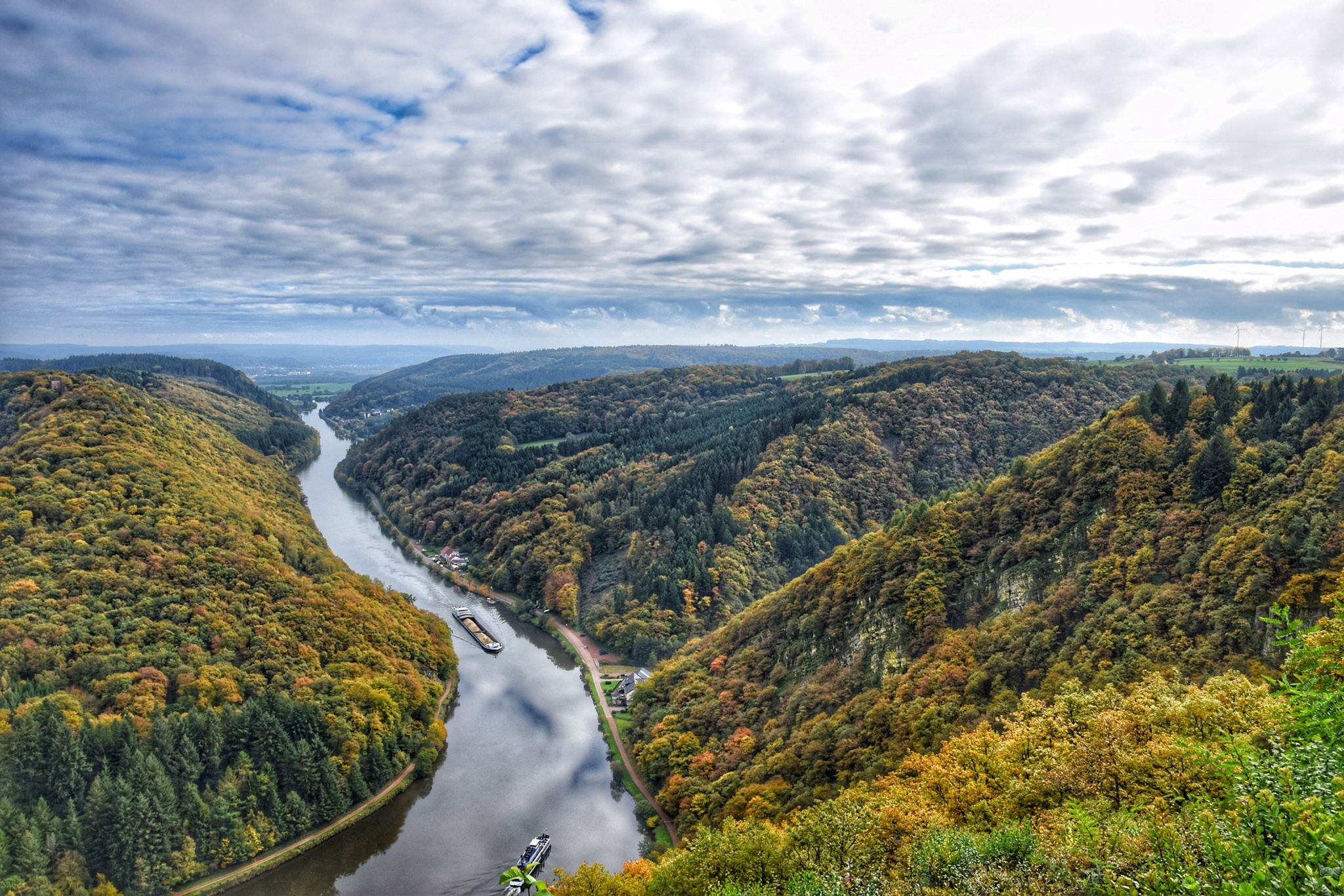
10 enchanting hikes through wild nature in Saarland
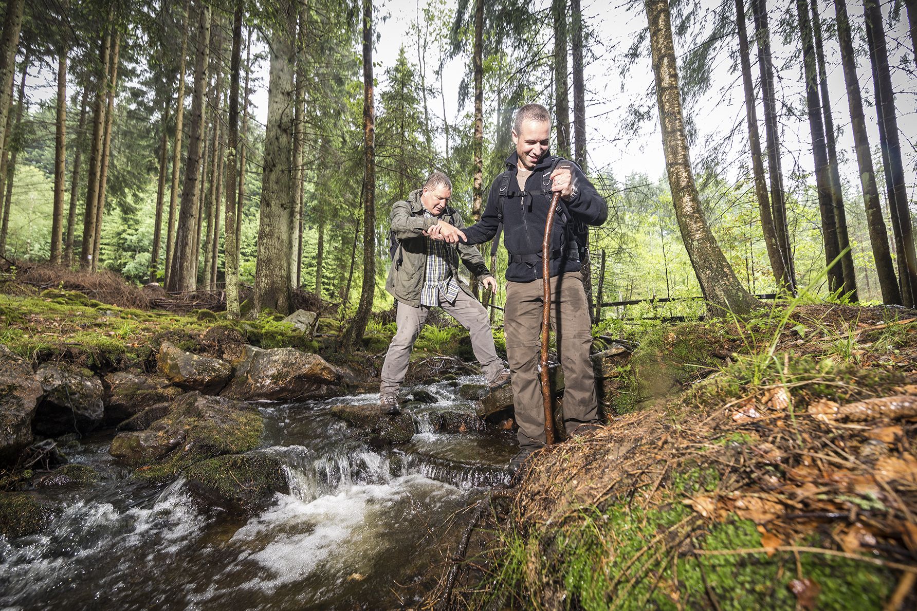
Off to the wild – hiking in the Birkenfelder Land
Other adventures in Nationalpark Hunsrück-Hochwald


Tips from the Community

as on many vineyards, this slope is also adorned with a sundial
0
0

Great straight path, I prefer nature more, but it's totally OK
0
0
Beautiful straight path along the Nahe
0
0
Nice straight path, I prefer something a bit more natural but still nice :-)
0
0
Good starting point for tours if you live on the Neuweg
0
0

Very nice section of the route, nice to ride
0
0
Very nice cycle path, easy to cycle uphill...
0
0
Very well done, great panoramic view from up here.
0
0
Frequently Asked Questions
What is the general difficulty level of road cycling routes in Nationalpark Hunsrück-Hochwald?
Nationalpark Hunsrück-Hochwald offers a diverse range of road cycling routes. While the terrain is characterized by rolling hills, you'll find options for various skill levels. There are approximately 27 easy routes, 189 moderate routes, and 94 difficult routes, ensuring both leisurely rides and challenging climbs are available.
Are there challenging road cycling routes for experienced riders in Nationalpark Hunsrück-Hochwald?
Yes, experienced road cyclists will find plenty of challenging routes. For instance, the Erbeskopf Cycle Path – View of Mehring loop from Riedbruch is a difficult 46.8-mile (75.3 km) path with significant elevation gain, offering panoramic views. Another demanding option is the Neumagener Sonnenuhr Vineyard – Walnut Avenue, Brauneberg loop from Riedbruch, which covers 63.4 miles (102.1 km) through vineyard regions.
Are there suitable road cycling routes for beginners in Nationalpark Hunsrück-Hochwald?
While many routes feature rolling hills, beginners can find suitable options. There are around 27 easy routes available. For a moderate but manageable ride, consider the Bridge Over the Traunbach – Old Military Road (Car-Free) loop from Thranenbruch, which is 32.2 miles (51.8 km) long with moderate elevation, offering a good introduction to the region's cycling.
What is the typical length and duration of road cycling routes in Nationalpark Hunsrück-Hochwald?
Routes vary significantly in length and duration. You can find shorter rides, like the moderate Bridge Over the Traunbach – Old Military Road (Car-Free) loop from Thranenbruch at 32.2 miles (51.8 km) taking about 1 hour 37 minutes. Longer, more challenging routes, such as the Neumagener Sonnenuhr Vineyard – Walnut Avenue, Brauneberg loop from Riedbruch, can extend over 63 miles (102 km) and take nearly 6 hours to complete.
When is the best time of year for road cycling in Nationalpark Hunsrück-Hochwald?
The best time for road cycling in Nationalpark Hunsrück-Hochwald is generally from spring through autumn (April to October). During these months, the weather is typically mild, and the natural scenery is at its most vibrant. Summer offers longer daylight hours, while spring and autumn provide cooler temperatures and beautiful foliage.
What can I see along the road cycling routes in Nationalpark Hunsrück-Hochwald?
Road cycling routes often pass through diverse landscapes, offering glimpses of historical and natural attractions. You might encounter sites like the Stone Steps on the Celtic Ring Wall (Hunnenring), the highest point in Saarland, Dollberg, or natural monuments such as the Kirschweiler Fortress and Mannfels Rock Formation. The region's dense forests and river valleys provide constant natural beauty.
Are there any waterfalls near the road cycling routes in Nationalpark Hunsrück-Hochwald?
Yes, the region features several beautiful waterfalls that can be explored. Notable ones include the Katzenloch Waterfall and the Kleiner Röderbach Waterfall. Some routes may pass close to these natural highlights, offering a chance to dismount and enjoy the scenery.
What do other road cyclists enjoy the most about road cycling in Nationalpark Hunsrück-Hochwald?
The area is highly rated by the komoot community, with an average score of 4.5 stars from over 360 reviews. Reviewers often praise the varied terrain, from quiet rural roads to challenging climbs with rewarding panoramic views. The natural park environment, with its dense forests and river valleys, is frequently highlighted as a key attraction.
Are there loop road cycling routes available in Nationalpark Hunsrück-Hochwald?
Yes, the majority of road cycling routes in Nationalpark Hunsrück-Hochwald are designed as loops, allowing you to start and finish at the same point. An example is the popular Nahe Bridge – Community Center Hahnenbach loop from Kirschweiler, a 39.6-mile (63.8 km) moderate route that takes you through the countryside.
How many road cycling routes are available in Nationalpark Hunsrück-Hochwald?
There are over 300 road cycling routes available in Nationalpark Hunsrück-Hochwald, offering a wide selection for all skill levels and preferences. This extensive network ensures diverse riding experiences across the region's unique landscape.
Can I find routes that offer views of the Moselle River?
Yes, some routes extend towards the scenic Moselle River valley, offering stunning views. For example, the difficult Moselle Bend near Pölich – Detzem Lock loop from Riedbruch is a 92.2-mile (148.3 km) route that provides vistas of the river and its surroundings.
Are there any historical sites accessible from the road cycling routes?
The region is rich in history, and some routes may bring you close to historical sites. Besides the Celtic Ring Wall, you might find the Züscher Hammer, an old ironworks, or other remnants of the area's past, adding a cultural dimension to your ride.
Most popular routes in Nationalpark Hunsrück-Hochwald
Most popular attractions in Nationalpark Hunsrück-Hochwald

Get inspired with the komoot mobile app


Explore more
Browse the best Road cycling routes in other regions.
