The best traffic-free bike rides in Rhönwald-Grabenberg
4.9
(15)
50
riders
6
rides
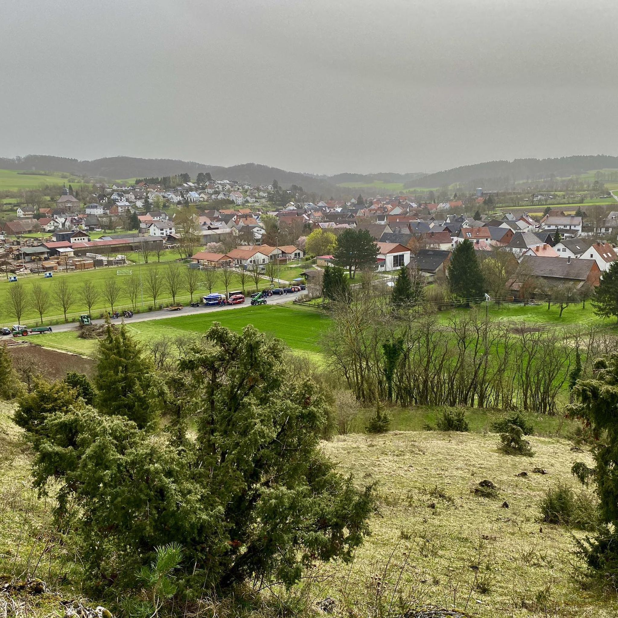
No Traffic gravel bike trails in Rhönwald-Grabenberg traverse the Rhön Mountains, a low mountain range characterized by ancient volcanic activity. The region features a varied topography of rolling hills, plateaus, and valleys, providing diverse terrain for gravel riding. Landscapes include extensive forests, moorland areas like the Black Moor, and open stretches offering expansive views. This environment supports a network of paths suitable for gravel biking, often away from vehicular traffic.
Best no traffic gravel bike trails in Rhönwald-Grabenberg
- The most…
Last updated: July 9, 2026
5.0
(4)
13
riders
30.8km
01:47
320m
320m
Moderate gravel ride. Good fitness required. Mostly paved surfaces. Suitable for all skill levels.
2
riders
24.9km
01:47
550m
550m
Hard gravel ride. Very good fitness required. Mostly paved surfaces. Suitable for all skill levels.

Sign up for free
2
riders
42.8km
02:55
700m
700m
Hard gravel ride. Very good fitness required. Mostly paved surfaces. Suitable for all skill levels.
4.7
(3)
15
riders
37.2km
02:54
610m
610m
Hard gravel ride. Very good fitness required. Mostly paved surfaces. Suitable for all skill levels.
5.0
(6)
8
riders
27.4km
01:41
440m
440m
Moderate gravel ride. Good fitness required. Mostly paved surfaces. Suitable for all skill levels.
Our route recommendations are based on thousands of hikes, rides, and runs completed by other people on komoot.
Start today with a free account
Your next adventure awaits.
Login or Signup



Other adventures in Rhönwald-Grabenberg


Tips from the Community

Very nice, a part of the Rhön.
0
0

The Milseburg is the most beautiful mountain in the Rhön.
0
0

Always beautiful and full of memories...
0
0

Both top cycle paths and recommended
1
0
Top-preserved "Old Hilders Train Station"
0
0
Very nice cycle path - you should definitely try this route
0
0

I've now completed the entire Ulster Valley Cycle Route, and the Milseburg Cycle Route is next. The Ulster Valley Cycle Route is highly recommended.
1
0

Frequently Asked Questions
How many no-traffic gravel bike trails are available in Rhönwald-Grabenberg?
Rhönwald-Grabenberg offers a selection of 6 dedicated no-traffic gravel bike trails. These routes vary in difficulty, providing options for different skill levels to explore the scenic Rhön Mountains away from vehicular traffic.
What kind of terrain and difficulty can I expect on these gravel bike trails?
The no-traffic gravel bike trails in Rhönwald-Grabenberg feature varied terrain, from rolling hills and plateaus to forested paths, reflecting the region's volcanic origins. While there are 2 moderate routes, most of the trails are rated difficult, with significant elevation changes. For example, the Black Moor – Buchschirmkreuz loop from Hilders involves over 550 meters of ascent.
Are there any family-friendly no-traffic gravel bike trails in Rhönwald-Grabenberg?
While many trails in Rhönwald-Grabenberg are rated difficult, the Streutalbahn Railway Path – Fladungen Museum Railway loop from Fladungen is a moderate option that might be suitable for families with older children or those seeking a less strenuous ride. It follows a former railway line, often providing a gentler gradient.
Can I bring my dog on the no-traffic gravel bike trails?
Many natural areas in the Rhön Mountains, including parts of the Rhön Biosphere Reserve, welcome dogs on trails, usually on a leash. It's always best to check local signage for specific regulations, especially around sensitive habitats like the Black Moor. Ensure your dog is comfortable with longer distances and varied terrain.
What are the typical lengths of the no-traffic gravel bike trails?
The no-traffic gravel bike trails in Rhönwald-Grabenberg generally range from approximately 25 km to over 42 km. For instance, the Black Moor – Buchschirmkreuz loop from Hilders is about 25 km, while the View of the Rhön Mountains – Milseburgradweg Cycle Path loop from Hilders extends to over 42 km.
What is the best season for gravel biking in Rhönwald-Grabenberg?
The Rhönwald-Grabenberg region is beautiful throughout the year, but spring, summer, and early autumn generally offer the most pleasant conditions for gravel biking. Spring brings blooming landscapes, summer provides warmth, and autumn showcases vibrant foliage. Always check weather forecasts, as conditions can change rapidly in the mountains.
Are there any circular no-traffic gravel bike routes available?
Yes, all the listed no-traffic gravel bike trails in Rhönwald-Grabenberg are designed as circular routes, allowing you to start and end at the same point. Examples include the Ulstertal Cycle Path – View of the Ulster Valley loop from Hilders and the Schwarzes Moor loop from Flagunden - Bavarian Rhön Nature Park.
What interesting landmarks or viewpoints can I see along these routes?
The trails offer access to several notable landmarks and viewpoints. You can visit the historic Grabenberg Border Tower, a former inner-German border watchtower, or experience the unique Three-State Point Hesse–Bavaria–Thuringia. Many routes also provide expansive views, such as the View along the Birxgraben valley to the Ulster valley.
Are there options for beginner gravel bikers looking for traffic-free routes?
For beginners, the Streutalbahn Railway Path – Fladungen Museum Railway loop from Fladungen is the most accessible option, rated as moderate. It covers 30.6 km with a manageable elevation gain of around 315 meters, making it a good starting point for those new to gravel biking in the region.
What do other gravel bikers enjoy most about the Rhönwald-Grabenberg trails?
The komoot community highly rates the Rhönwald-Grabenberg trails, with an average score of 4.875 stars. Riders frequently praise the peaceful, traffic-free environment, the diverse landscapes of the Rhön Mountains, and the opportunity to immerse themselves in nature, particularly around areas like the Black Moor.
Is it possible to go gravel biking in Rhönwald-Grabenberg during winter?
Winter gravel biking is possible, but conditions can be challenging. The higher elevations of the Rhön Mountains, including the Hochrhön Plateau, may experience snow and ice. It's crucial to check local weather and trail conditions, use appropriate tires, and be prepared for colder temperatures and potentially shorter daylight hours. Some paths might be less maintained in winter.
Where can I find parking for these no-traffic gravel bike trails?
Many of the circular routes start and end in towns like Fladungen or Hilders, where public parking facilities are typically available. For example, routes like the Black Moor – Buchschirmkreuz loop and the View of the Rhön Mountains – Milseburgradweg Cycle Path loop originate from Hilders, offering convenient access points.
Most popular routes in Rhönwald-Grabenberg
Most popular attractions in Rhönwald-Grabenberg

Get inspired with the komoot mobile app


Explore more
Browse the best Gravel rides in other regions.
