The best traffic-free bike rides in Unterlauf Der Krainke
4.9
(44)
366
riders
8
rides
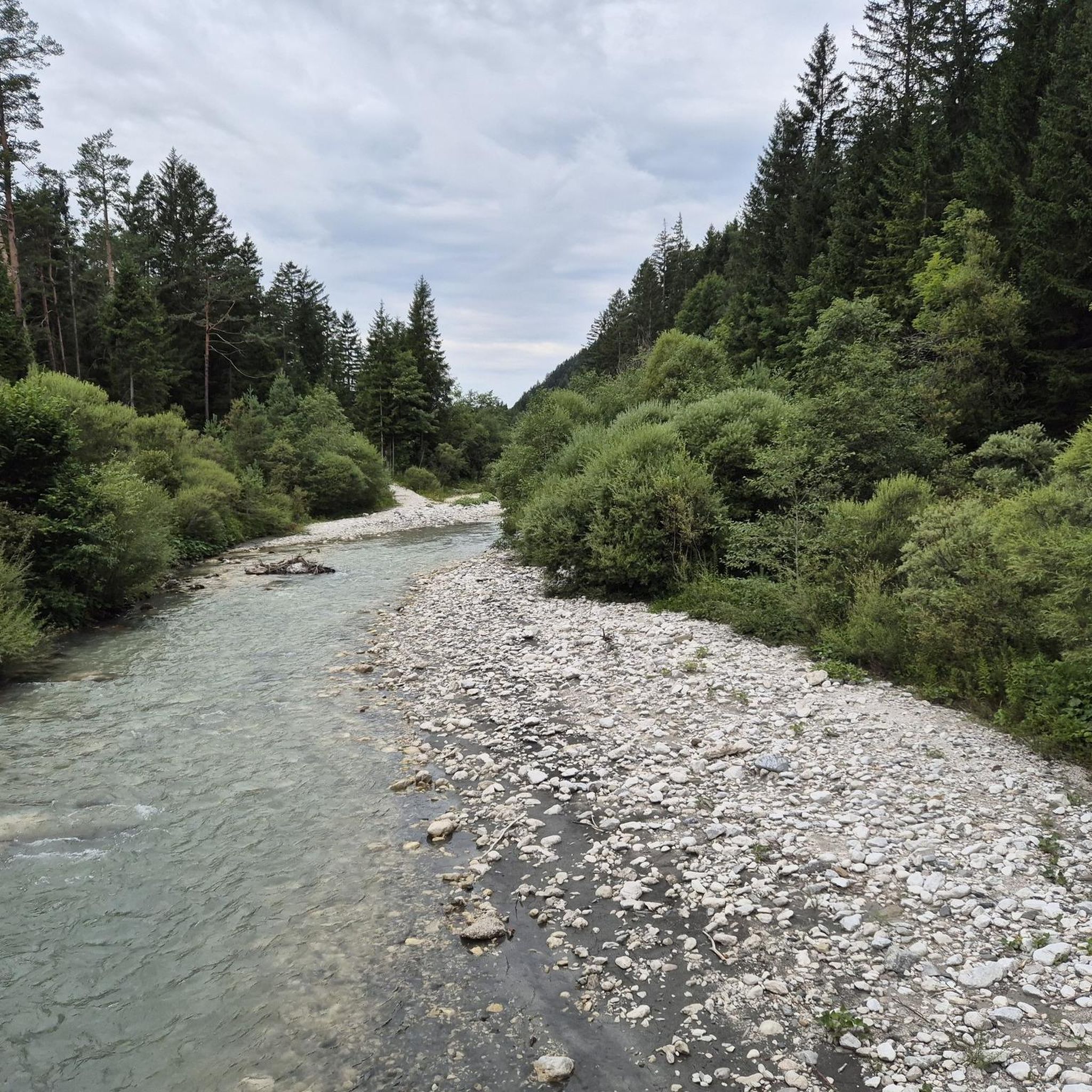
No traffic road cycling routes in Unterlauf Der Krainke are characterized by the flat, expansive floodplain landscapes of the Krainke river, a tributary within Germany's Biosphere Reserve Niedersächsische Elbtalaue. The region features historical dikes that often serve as well-maintained cycling paths, offering panoramic views of the surrounding natural environment. This area provides predominantly flat terrain, making it accessible for road cyclists seeking tranquil routes through diverse scenery. The Krainke's meandering course and its location within a protected biosphere ensure a…
Last updated: September 1, 2026
7
riders
Moderate road ride. Good fitness required. Some segments of this route may be unpaved and difficult to ride.
2
riders
32.6km
01:41
50m
50m
Moderate road ride. Great for any fitness level. Some segments of this route may be unpaved and difficult to ride.

Sign up for free
2
riders
21.8km
01:03
30m
30m
Moderate road ride. Great for any fitness level. Some segments of this route may be unpaved and difficult to ride.
6
riders
19.7km
00:54
90m
90m
Easy road ride. Great for any fitness level. Mostly well-paved surfaces and easy to ride.
5
riders
42.4km
01:51
110m
110m
Easy road ride. Great for any fitness level. Mostly well-paved surfaces and easy to ride.
Get access to more routes and recommendations from other explorers.
Sign up for free
Already have an account?
Our route recommendations are based on thousands of hikes, rides, and runs completed by other people on komoot.
Start today with a free account
Your next adventure awaits.
Login or Signup
Popular around Unterlauf Der Krainke
Tips from the Community

as in so many places here: magnificent view over the river and landscape.
0
0
You are always quite close to the water here and have a good view over the Elbe. Very nice section!
0
0

As I said: Unfortunately boarded up and therefore unusable!
0
0
A short stop for reading. Then it continues.
0
0

Unfortunately it was closed and blocked off.
0
0

The former border watchtower south of Boizenburg was once part of the GDR border security regime and stood at a checkpoint/crossing on the Elbberg. It was part of the five-kilometer exclusion zone, through which residents were only allowed to enter with a pass; the tower served to observe and control passenger and freight traffic. Today, it is preserved and incorporated into the Elbberg Museum in Boizenburg as a memorial to the inner-German border.
0
0

A worthwhile and quiet stretch. Very little traffic, good asphalt, and expansive views of the fields. A great ride!
0
0

Beautiful reuse of the old Preten train station - unfortunately only open on weekends
0
0
Frequently Asked Questions
How many no-traffic road cycling routes are available in Unterlauf Der Krainke?
There are 9 dedicated no-traffic road cycling routes in the Unterlauf Der Krainke region, offering a variety of experiences for cyclists. These routes are predominantly flat, making them accessible for various fitness levels.
Are there easy no-traffic road cycling routes suitable for beginners or families?
Yes, the flat terrain of the Unterlauf Der Krainke, especially along historical dikes, makes it ideal for easy rides. There are 2 easy routes, perfect for beginners or families. A great option is the Tank-Treff Vellahn loop from Brahlstorf, which covers nearly 20 km with minimal elevation gain.
What kind of landscapes can I expect on these no-traffic road cycling routes?
The routes in Unterlauf Der Krainke traverse the beautiful floodplain landscapes of the Biosphere Reserve Niedersächsische Elbtalaue. You'll cycle along the meandering Krainke river, historical dikes offering panoramic views, and through areas rich in biodiversity, including wet meadows and woodlands. Keep an eye out for various bird species and other wildlife.
Are there any circular no-traffic road cycling routes?
Yes, many of the no-traffic routes in Unterlauf Der Krainke are designed as loops, allowing you to start and end at the same point. For example, the Boizenburg Harbor – Boizenburg Town Hall loop from Alte Elbe bei Stiepelse is a moderate 58 km circular route that offers diverse scenery.
What can I see or visit along the no-traffic road cycling routes in Unterlauf Der Krainke?
While cycling, you can explore several interesting points. Consider visiting the Niendorf Sluice and Weir, or enjoy the scenic Dike Path Niendorf–Preten. For nature observation, the Heinz Sielmann Kiekut Observation Platform offers excellent views of the local wildlife.
What is the best time of year for no-traffic road cycling in Unterlauf Der Krainke?
The region is enjoyable for cycling throughout much of the year. Spring and autumn offer pleasant temperatures and vibrant natural colors, while summer provides longer daylight hours. The flat terrain means routes are generally accessible, though conditions can vary with weather. The Biosphere Reserve's diverse flora and fauna are particularly active during warmer months.
Are there any longer, more challenging no-traffic road cycling routes?
While the terrain is generally flat, some routes offer longer distances for those seeking a more extensive ride. The region features 7 moderate routes. The View of the River Elbe – Bleckede Elbe Ferry loop from Elbwerder vor Neu Garge is a moderate 42 km route that provides a good distance and scenic views of the Elbe.
What do other road cyclists enjoy most about cycling in Unterlauf Der Krainke?
The area is highly rated by the komoot community, with an average score of 4.97 out of 5 stars from 40 ratings. Reviewers often praise the tranquility of the routes, the beautiful natural landscapes of the Elbe Valley Biosphere Reserve, and the well-maintained, traffic-free paths along the dikes and river.
Can I find places to rest or have a picnic along the routes?
Yes, you can find facilities to take a break. For instance, the Grill and Picnic Area at the Krainke is a designated spot where you can relax and enjoy the surroundings during your ride.
How does the Unterlauf Der Krainke connect to other major cycling networks?
The Amt Neuhaus region, where Unterlauf Der Krainke is located, is directly connected to the renowned Elbe Cycle Path (Elberadweg). This allows cyclists to easily extend their no-traffic rides along one of Germany's most popular long-distance cycling routes, known for its well-signposted and often paved paths.
Are there any routes that offer a glimpse into the region's history?
Yes, cycling in the Amt Neuhaus area can offer insights into the region's past. Some routes, particularly those connected to the broader Elbe Valley, touch upon historical elements, including the former inner-German border. The historical dikes themselves are a testament to the region's long-standing relationship with its rivers.
Most popular routes in Unterlauf Der Krainke
Most popular attractions in Unterlauf Der Krainke

Get inspired with the komoot mobile app


Explore more
Browse the best Road cycling routes in other regions.
