The best running trails in Unterlauf Der Krainke
4.8
(6)
45
runners
11
runs
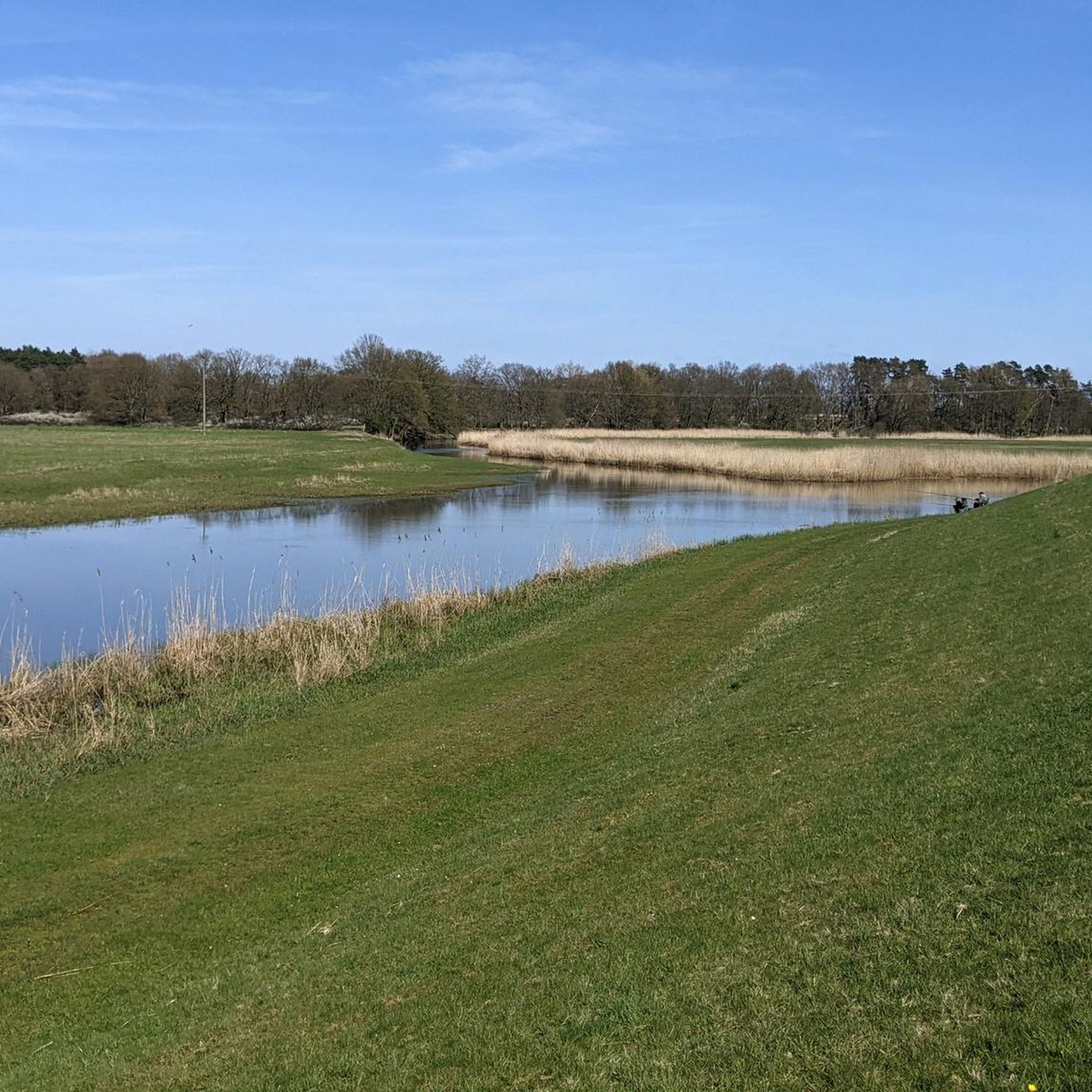
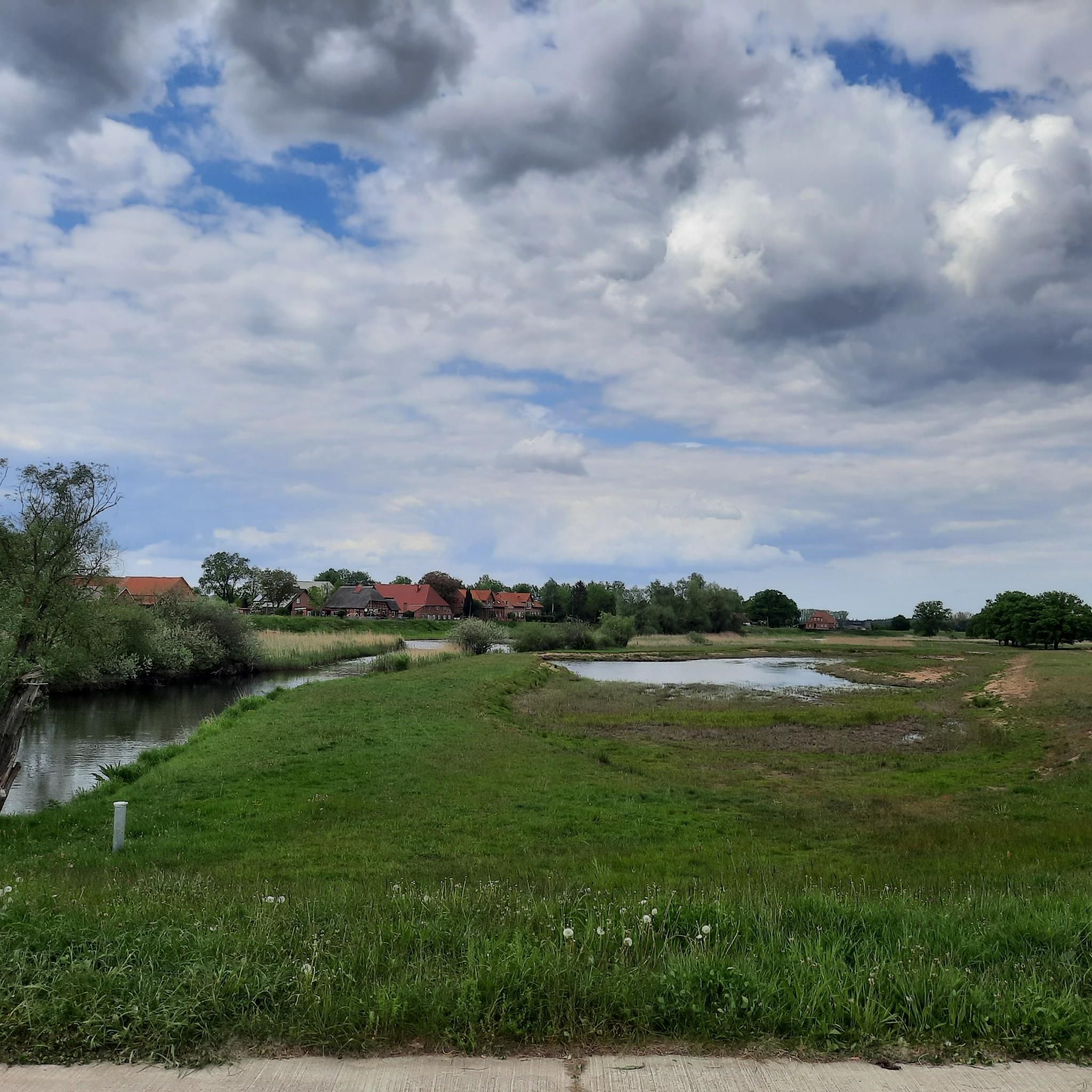
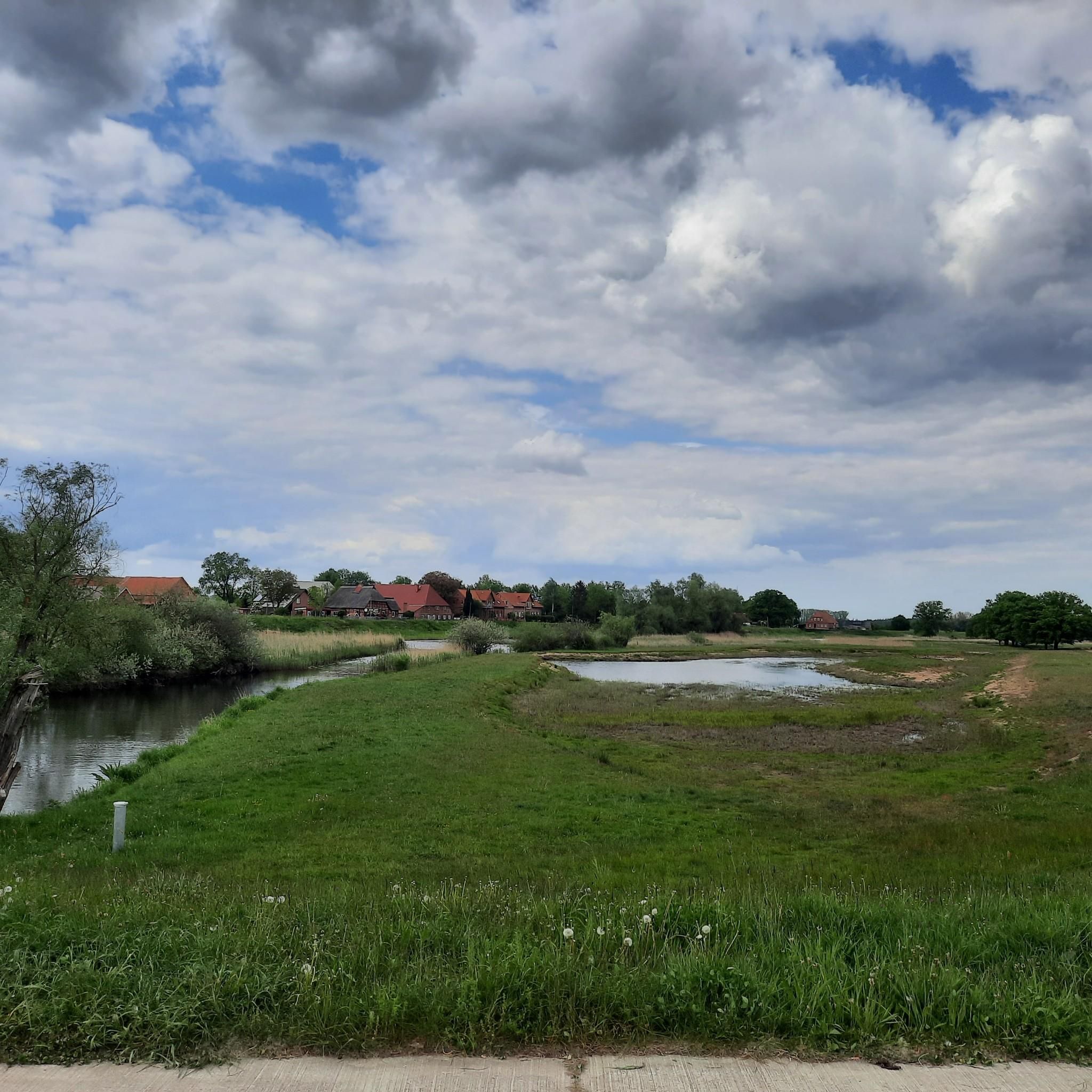
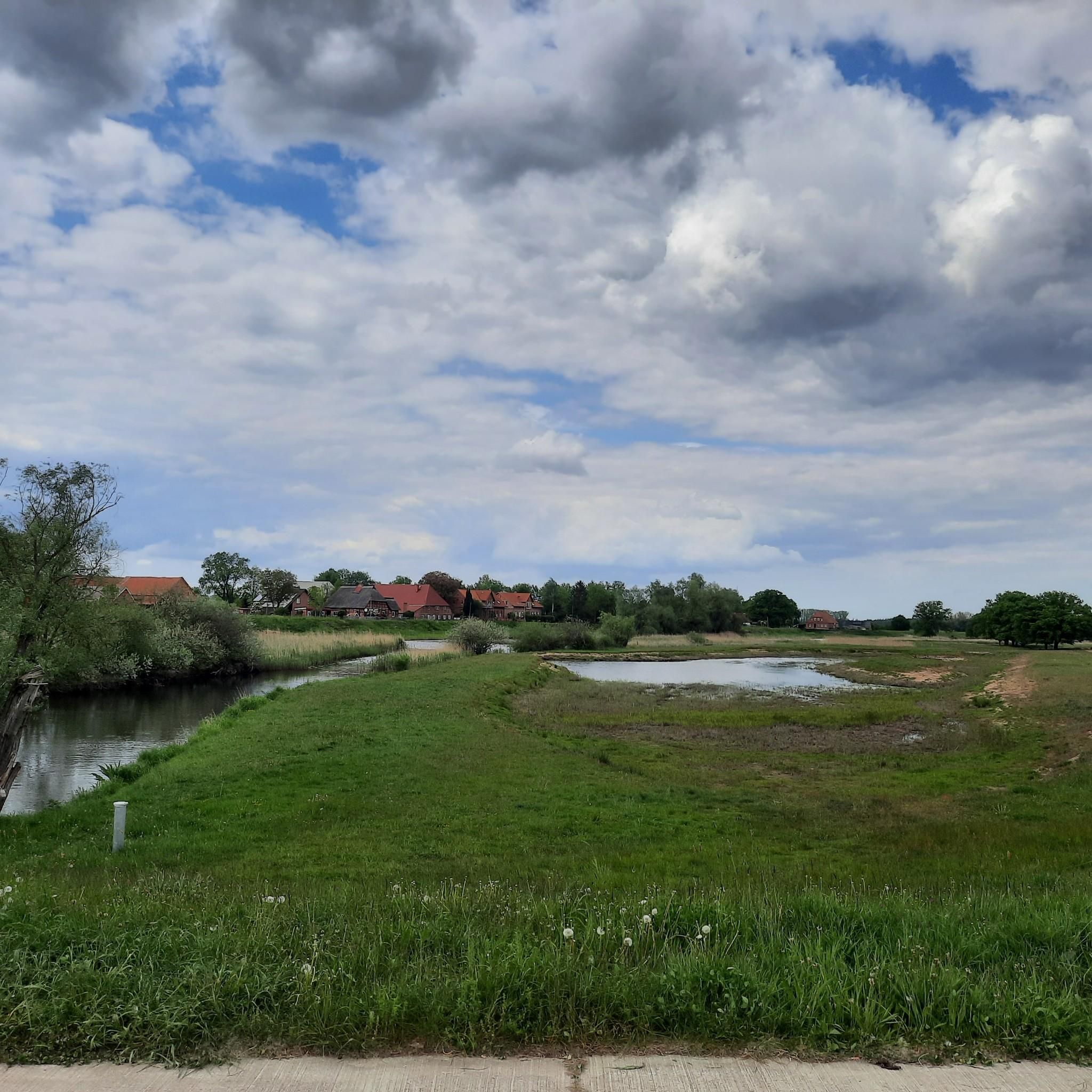
Jogging in Unterlauf Der Krainke offers routes through a diverse river landscape, characterized by broad floodplains, gentle river meanders, and a mix of wetlands. The Krainke, a branch of the Rögnitz and a tributary of the Sude, flows through this region, which is part of the UNESCO Biosphere Reserve Flusslandschaft Elbe. Runners can expect well-maintained paths, including a fine concrete cycle path along the Krainke dike, providing smooth surfaces for running. The area's structural richness, including historic dikes and remnants…
Last updated: June 28, 2026
2
runners
9.95km
01:06
20m
20m
Moderate run. Good fitness required. Mostly paved surfaces. Suitable for all skill levels.
2
runners
11.5km
01:20
90m
90m
Moderate run. Good fitness required. Mostly paved surfaces. Suitable for all skill levels.

Sign up for free
5.0
(2)
5
runners
8.47km
01:00
90m
90m
Moderate run. Good fitness required. Mostly paved surfaces. Suitable for all skill levels.
5
runners
13.9km
01:28
30m
30m
Moderate run. Good fitness required. Mostly paved surfaces. Suitable for all skill levels.
2
runners
9.09km
01:02
60m
60m
Moderate run. Good fitness required. Mostly paved surfaces. Suitable for all skill levels.
Get access to more routes and recommendations from other explorers.
Sign up for free
Already have an account?
Our route recommendations are based on thousands of hikes, rides, and runs completed by other people on komoot.
Start today with a free account
Your next adventure awaits.
Login or Signup
Popular around Unterlauf Der Krainke
Tips from the Community

The tower of the church is one of the oldest in the Lüneburg district. An architectural monument of Lower Saxony importance: the tower of the St. Vitus Church in Barskamp. In some places the walls are more than two meters thick. Built stone by stone in the 10th century. The west side was repaired with red brick over the centuries because of falling boulders.
0
0


Beautiful view of the Elbe valley with a bench for a snack break👍
0
0

The iron is a few hundred years old and is guarded by a dog who barks constantly except when the carriage passes by and then he bolts.
0
1

Very nice church in the middle of town
1
0

Well-kept harbor area with beautiful benches
0
0

St. Vitus Church Barskamp The oldest part of this church is the tower, which was probably built as a defensive tower around 950. The tower is believed to have been built towards the end of the 14th century, although it is quite possible that another church stood here before that, perhaps built from wood or fieldstone. The current appearance of the nave dates back to a reconstruction during the years 1764-1770. During this time the church and the defensive tower were united. The altar and the Last Supper picture on it were created by the Lüneburg painter Heinrich Melchior Westphal. The altar and picture date from 1770. The medieval baptismal font is supported by the baptismal stand made of reddish elm wood, created by the sculptor Otto Flath. The Meyer organ from 1856 and the bell from 1325 are worth listening to. https://www.kirchenkreis-lueneburg.de/ihre_gemeinden/kirchengemeinden_land/bleckede/kirche_barskamp
3
1
Frequently Asked Questions
How many running routes are available in Unterlauf Der Krainke?
There are 11 dedicated running routes in Unterlauf Der Krainke, offering a variety of experiences through the diverse river landscape. Most of these routes are rated as moderate, with one more challenging option available.
What kind of terrain can I expect on the running trails in this region?
The running trails in Unterlauf Der Krainke are primarily characterized by a diverse river landscape, including broad floodplains, gentle river meanders, and a mix of wetlands. You'll find well-maintained paths, including a fine concrete cycle path along the Krainke dike, offering smooth surfaces. The area also features historic dikes and remnants of natural floodplain forests, providing varied scenery.
Are there any easy running routes suitable for beginners?
While most of the routes are rated as moderate, the relatively flat terrain along the dikes makes many sections accessible for beginners. For example, the Small Elbe Beach – Walmisburg Pillory loop from Walmsburg is a popular moderate route that offers a good introduction to the area's running experience.
What do other runners enjoy most about the trails in Unterlauf Der Krainke?
The running routes in Unterlauf Der Krainke are highly rated by the komoot community, with an average score of 4.75 stars from 6 reviews. Runners often praise the tranquil river landscape, the well-maintained paths, and the opportunity to experience the UNESCO Biosphere Reserve Flusslandschaft Elbe.
Are there any circular running routes in the area?
Yes, many of the running routes in Unterlauf Der Krainke are designed as loops. For instance, the Walmisburg Pillory loop from Walmsburg and the Running loop from Elbwerder vor Neu Garge are popular circular options that allow you to start and finish at the same point.
What natural features or landmarks can I see while running?
As you run, you can enjoy the scenic Krainke river and its floodplains. Notable points of interest include the Niendorf Sluice and Weir, which offers beautiful views, and the Heinz Sielmann Kiekut Observation Platform, providing panoramic views of the meadows along the Krainke. The Dike Path Niendorf–Preten itself is a highlight, offering a smooth running surface with picturesque surroundings.
Are there any facilities like picnic areas along the running routes?
Yes, there is a Grill and Picnic Area at the Krainke, located directly on the riverbank. This provides a convenient spot for a break with seating and grilling facilities, perfect for a post-run relaxation or a family outing.
Is the region suitable for long-distance running?
The extensive network of paths, particularly the well-maintained dike paths, makes Unterlauf Der Krainke suitable for longer runs. Routes like the Bleckede Harbor loop from Elbwerder vor Neu Garge, which is nearly 14 km, offer good options for those looking to cover more distance.
Can I bring my dog on the running trails in Unterlauf Der Krainke?
The natural environment of Unterlauf Der Krainke is generally welcoming for dogs. However, as the area is part of the UNESCO Biosphere Reserve Flusslandschaft Elbe and a designated nature reserve, it's important to keep dogs on a leash to protect local wildlife, especially ground-nesting birds and other sensitive species. Always follow local signage and regulations.
What is the best time of year to go running in Unterlauf Der Krainke?
Unterlauf Der Krainke offers a pleasant running experience throughout much of the year. Spring and autumn provide mild temperatures and beautiful scenery with changing foliage or blooming wildflowers. Summer can be warm, but the river proximity often offers a refreshing breeze. Winter running is also possible, though paths might be damp or icy, so appropriate footwear is recommended.
Are the running trails family-friendly?
Yes, many of the running trails, especially those along the flat dike paths, are suitable for families. The well-maintained surfaces and scenic views make for an enjoyable outing. The presence of the Grill and Picnic Area at the Krainke also adds to the family-friendly appeal, providing a place to rest and refuel.
Is there public transport access to the running trails?
While the region is primarily accessed by car, some local bus services might connect to nearby villages. For specific route access, it's advisable to check local public transport schedules for connections to towns like Niendorf or Preten, which are close to popular starting points for the running trails.
Most popular routes in Unterlauf Der Krainke
Most popular attractions in Unterlauf Der Krainke

Get inspired with the komoot mobile app


Explore more
Browse the best Running Trails & Routes in other regions.
