The best traffic-free bike rides in Newry And Mourne
4.6
(64)
2,319
riders
18
rides
Road cycling in Newry And Mourne features diverse and scenic landscapes, including granite mountain ranges, tranquil loughs, and historic canal paths. The region encompasses three Areas of Outstanding Natural Beauty: the Mourne Mountains, the Ring of Gullion, and Strangford Lough & Lecale. These areas offer a variety of no traffic road cycling routes, from flat, level paths along waterways to more challenging rides through rolling hills. The terrain provides options for cyclists seeking both gentle rides and routes with moderate elevation changes.
Best no traffic road cycling routes in Newry And Mourne
- The most popular no traffic road cycling route is Newry Canal Path – Newry Canal Towpath loop from Bessbrook, a 36.3 miles (58.4 km) trail that takes about 2 hours 19 minutes to complete. This moderate route follows the historic Newry Canal, offering a flat and level path.
- Another top favourite among local road cyclists is Fairy Glen – Climb by Rostrevor Forest loop from Rostrevor, a moderate 22.4 miles (36.0 km) path. This route features views from the foot of the Mourne Mountains and takes approximately 1 hour 48 minutes.
- Local road cyclists also love the Climb by Rostrevor Forest – Warrenpoint Shore Road loop from Rostrevor, a 33.4 miles (53.8 km) trail leading through areas near Carlingford Lough and the Mourne Mountains, often completed in about 2 hours 24 minutes.
- Road cycling in Newry And Mourne is defined by historic canal paths, views of granite mountain ranges, and the shoreline of Carlingford Lough. The network offers options for different ability levels, from easy, flat routes to moderate paths with varied elevation.
- The routes in Newry And Mourne are highly rated by the komoot community with an average score of 4.6 stars from over 70 reviews. More than 2,700 road cyclists have used komoot to explore Newry And Mourne's varied terrain.
Last updated: October 11, 2026
4.5
(4)
96
riders
37.6km
01:32
160m
160m
Easy road ride. Great for any fitness level. Mostly well-paved surfaces and easy to ride.
5.0
(5)
42
riders
36.3km
01:50
430m
430m
Moderate road ride. Good fitness required. Some segments of this route may be unpaved and difficult to ride.

17
riders
53.8km
02:23
500m
500m
Moderate road ride. Good fitness required. Mostly well-paved surfaces and easy to ride.
15
riders
30.1km
01:26
400m
400m
Moderate road ride. Good fitness required. Mostly well-paved surfaces and easy to ride.
12
riders
14.1km
00:39
160m
160m
Easy road ride. Great for any fitness level. Mostly well-paved surfaces and easy to ride.
Get access to more routes and recommendations from other explorers.
Already have an account?
Our route recommendations are based on thousands of hikes, rides, and runs completed by other people on komoot.
Start today with a free account
Your next adventure awaits.
Popular around Newry And Mourne
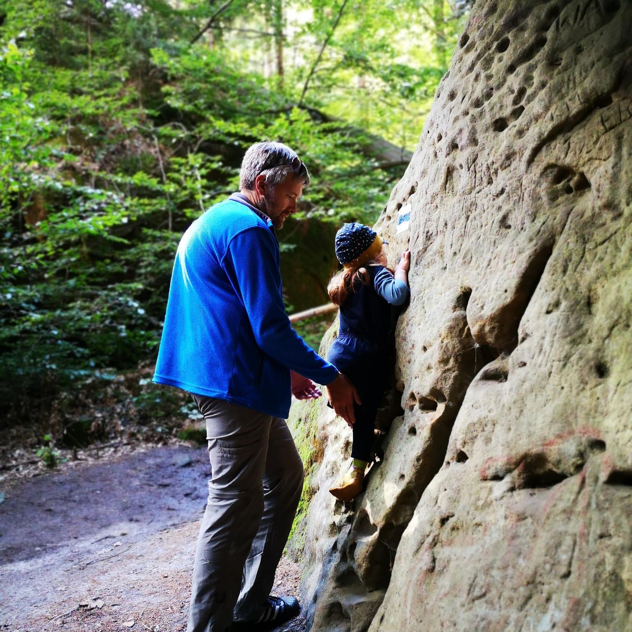
Traffic-free bike rides in Ring Of Gullion Aonb
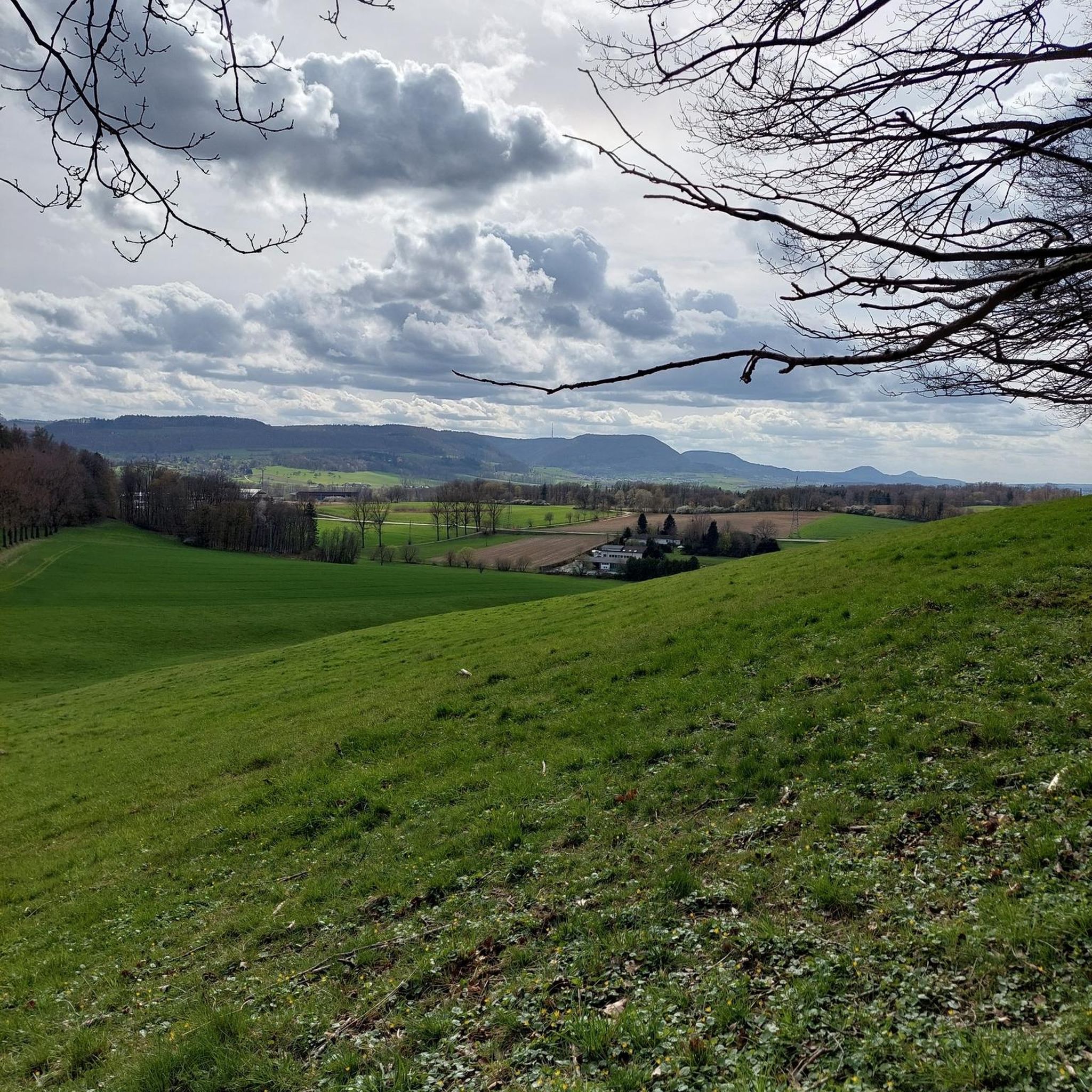
Traffic-free bike rides around Rostrevor Forest
Traffic-free bike rides around Annalong Wood
Traffic-free bike rides around Ben Crom Reservoir

Traffic-free bike rides around Silent Valley Reservoir
Traffic-free bike rides around Rosstrevor
Bikepacking to the World Champs across Ireland and Scotland
Trust10 – Trail Runs. In nature, for nature.
Cliffs, moors & gentle waves – walking in Northern Ireland

Traffic-free bike rides in Newry And Mourne
Other adventures in Newry And Mourne


Tips from the Community


The Crack Bridge, also known as Fearon’s Bridge, is one of the most characteristic stone arch bridges over the Newry Canal. This historic structure is located on a beautiful, secluded section of the towpath between Poyntzpass and Jerrettspass. This robust, semi-circular arch bridge from the 18th century is built from locally quarried stone and forms an iconic image along the Newry Canal Towpath. The bridge was originally built to give local farmers and their livestock access to the farmlands on both sides of the canal without hindering navigation.
7
0
Between the rustling trees along the Newry Canal Towpath, you'll encounter the tranquil ruin of a lock keeper's cottage. Once, this was the proud and bustling heart of the waterway, where the lock keeper stood ready day and night to operate the heavy wooden canal gates for passing barges. Today, only the robust stone walls remain, slowly being reclaimed by nature.
6
0
This largely flat and completely traffic-free path winds through the heart of counties Armagh and Down, along the tranquil waterway that once formed the lifeline for transporting coal to the Irish Sea. As you pedal over the well-maintained asphalt or fine gravel, you'll be surrounded by lush green embankments, historic stone bridges, and the monumental remains of eighteen locks that bridge the elevation difference in the landscape. A mix of smooth asphalt and easily rideable fine gravel, suitable for almost all types of bicycles.
7
0
Quiet canal section south of Poyntzpass, where the towpath runs tightly along the narrow water. The bank is lightly overgrown with low trees and hedges, giving the stretch an intimate, green impression. The water is mostly still, forming a straight line through the open agricultural landscape. An even, traffic-free segment ideal for quiet miles on the towpath.
5
0
The Newry Canal Towpath is a 32-kilometer-long, almost entirely traffic-free green corridor connecting the towns of Portadown and Newry. It follows the towpath of the oldest canal in the British Isles, opened in 1742 to transport coal from County Tyrone to the sea. The Newry Canal Towpath offers an unparalleled cycling experience through the tranquil heart of County Armagh and County Down. This historic route, part of the National Cycle Network Route 9, takes you along a flat and largely asphalted path past fourteen monumental locks and characteristic lock-keeper's cottages. As you follow the waterway, you'll traverse a varied landscape of dense forests and open meadows, passing through welcoming villages like Scarva and Poyntzpass along the way. The path is a haven for wildlife; keep an eye out for kingfishers, swans, and otters that inhabit the reed beds. Whether you cycle the full 32 kilometers or explore just a section, the combination of industrial history and natural beauty makes this one of the absolute gems of Irish cycling routes.
5
0
Frequently Asked Questions
How many no-traffic road cycling routes are available in Newry And Mourne?
Newry And Mourne offers a great selection of traffic-free road cycling experiences, with over 19 routes available. These routes cater to various skill levels, ensuring there's something for everyone.
Are there easy, beginner-friendly no-traffic road cycling routes in Newry And Mourne?
Yes, there are several easy, traffic-free road cycling routes perfect for beginners or those looking for a relaxed ride. For instance, the Ross Monument – View of Carlingford Lough loop from Warrenpoint is an easy option, offering pleasant views without significant climbs. The Newry Canal Way Loop is also known for its flat, level path, ideal for a quiet trip.
What are some scenic no-traffic road cycling routes with great views?
Many routes offer spectacular scenery. The Fairy Glen – Climb by Rostrevor Forest loop from Rostrevor provides beautiful views, as does the Climb by Rostrevor Forest – Warrenpoint Shore Road loop from Rostrevor. The Carlingford Lough Greenway, while not listed as a specific komoot route here, is a well-known traffic-free trail offering stunning views of the Mourne Mountains and Cooley Peninsula.
Are there any circular no-traffic road cycling routes available?
Yes, many of the no-traffic road cycling routes in Newry And Mourne are designed as loops, allowing you to start and finish in the same location. Examples include the Newry Canal Path – Newry Canal Towpath loop from Bessbrook and the Climb by Rostrevor Forest – Fairy Glen loop from Rostrevor.
What kind of attractions or landmarks can I see along these routes?
The region is rich in natural beauty and historical sites. Along your rides, you might encounter majestic granite peaks like the Summit of Slieve Donard, the unique geological formations of the Ring of Gullion, or the tranquil Hare's Gap in the Mourne Mountains. The Cloughmore Stone in Kilbroney Park is another notable natural monument.
Is it possible to access these no-traffic routes using public transport?
While specific public transport connections to every route start point can vary, Newry City serves as a central hub with bus and train links. From Newry, you can directly access routes like the Ring of Gullion via National Cycle Network Route 9, and the Carlingford Lough Greenway also starts from Newry City. It's advisable to check local transport schedules for the most up-to-date information on reaching specific trailheads.
What is the best time of year to enjoy quiet road cycling in Newry And Mourne?
Spring and autumn generally offer pleasant conditions for quiet road cycling in Newry And Mourne. The weather is often milder, and the landscapes are particularly beautiful with spring blooms or autumn colours. These seasons also tend to be less crowded than the peak summer months, allowing for a more tranquil experience on the traffic-free routes.
Are there any no-traffic road cycling routes suitable for families?
Absolutely. The Newry Canal Way Loop is particularly well-suited for families due to its flat, level path and scenic views, making it a safe and enjoyable option for all ages. The Carlingford Lough Greenway is another excellent traffic-free choice, offering a safe environment for family rides with stunning coastal views.
What do other cyclists say about the no-traffic road cycling experience in Newry And Mourne?
The komoot community highly rates the cycling experience in Newry And Mourne, with an average score of 4.6 out of 5 stars. Reviewers often praise the stunning natural beauty, the variety of routes catering to different abilities, and the peaceful, traffic-free sections that allow for an immersive outdoor experience.
Are there any longer no-traffic road cycling routes for more advanced cyclists?
For those seeking a longer challenge, the Newry Canal Path – Newry Canal Towpath loop from Bessbrook covers approximately 58 km (36 miles) with moderate elevation, offering a substantial ride. The Ring of Gullion Loop from Newry, while not entirely traffic-free, includes country roads that provide a rewarding 70 km (43.6 miles) experience through a unique geological landscape.
Can I find cafes or places to stop for refreshments along these routes?
Yes, many of the routes pass through or near charming villages and towns where you can find cafes, pubs, and other refreshment stops. The Newry Canal Way Loop, for example, passes through villages, and the Carlingford Lough Greenway connects Newry City with Carlingford, both offering ample opportunities for breaks and refreshments.
Most popular routes in Newry And Mourne
Most popular attractions in Newry And Mourne

Get inspired with the komoot mobile app


Didn’t find what you were looking for?
Check out more Road cycling routes throughout Newry And Mourne below and find the perfect route in your destination.
Explore more
Browse the best Road cycling routes in other regions.
