The best hikes from bus stations in Newry And Mourne
4.5
(849)
6,504
hikers
51
hikes
Bus station hiking trails in Newry And Mourne traverse a diverse landscape, featuring the granite peaks of the Mourne Mountains, the ancient volcanic terrain of the Ring of Gullion, and dramatic coastal scenery along the Irish Sea. The region includes several forest parks and tranquil loughs, offering varied environments for outdoor exploration. Elevations range from sea level to Slieve Donard, Northern Ireland's highest peak at 850 meters.
Best bus station hiking trails in Newry And Mourne
- The most popular bus…
Last updated: July 8, 2026
4.4
(9)
76
hikers
8.84km
03:01
450m
450m
Moderate hike. Good fitness required. Easily-accessible paths. Suitable for all skill levels.
4.9
(8)
86
hikers
10.5km
02:57
220m
220m
Moderate hike. Good fitness required. Easily-accessible paths. Suitable for all skill levels.

Sign up for free
4.3
(12)
87
hikers
Moderate hike. Good fitness required. Easily-accessible paths. Suitable for all skill levels.
4.9
(16)
82
hikers
7.29km
01:56
70m
70m
Easy hike. Great for any fitness level. Easily-accessible paths. Suitable for all skill levels.
4.3
(3)
42
hikers
7.98km
02:51
490m
490m
Moderate hike. Good fitness required. Easily-accessible paths. Suitable for all skill levels.
Get access to more routes and recommendations from other explorers.
Sign up for free
Already have an account?
Our route recommendations are based on thousands of hikes, rides, and runs completed by other people on komoot.
Start today with a free account
Your next adventure awaits.
Login or Signup
Popular around Newry And Mourne
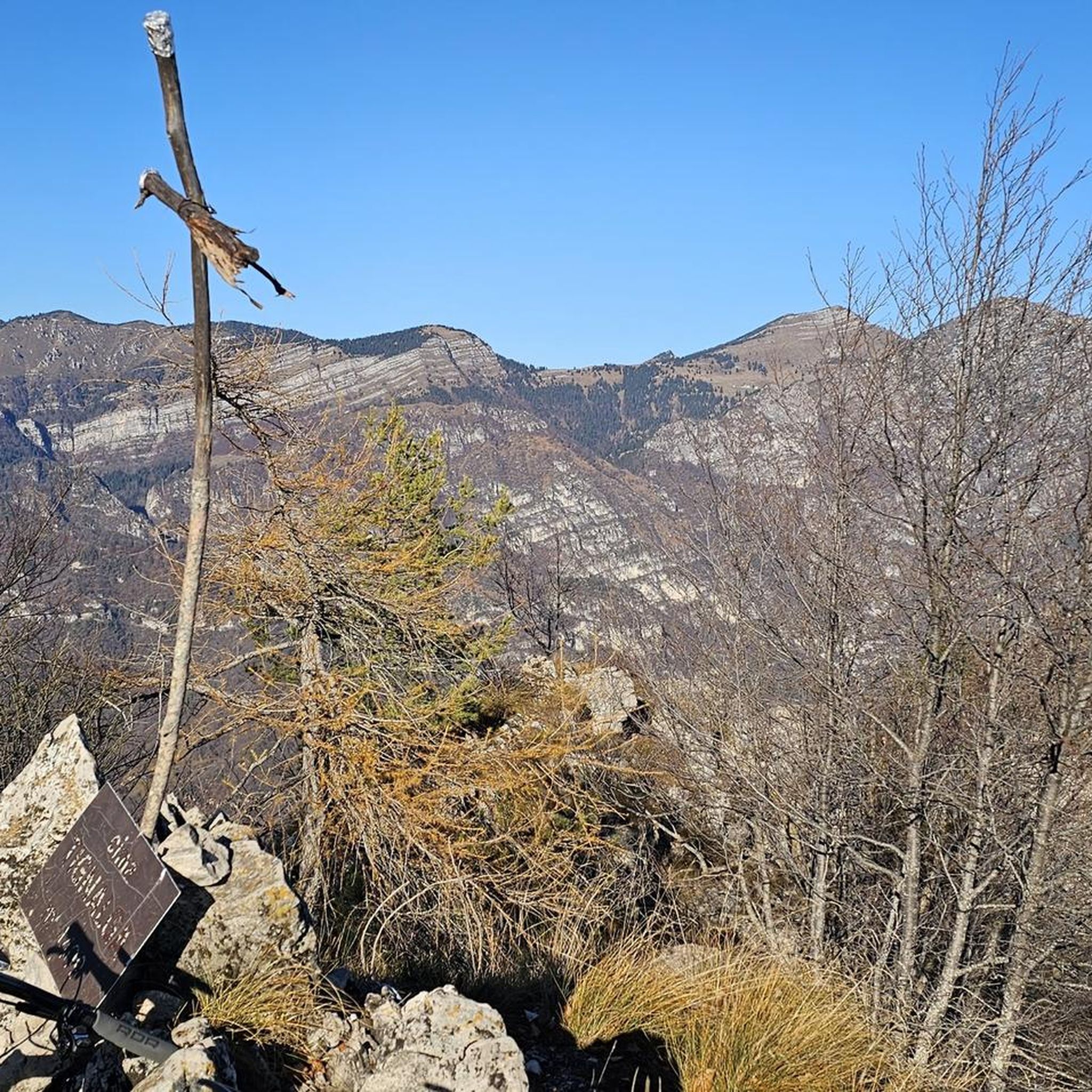
Hikes from bus stations around Silent Valley Reservoir
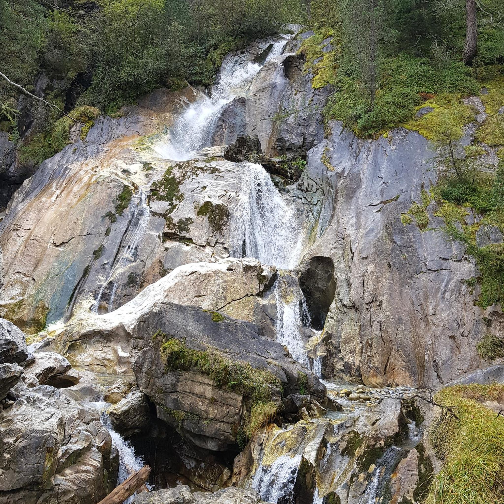
Hikes from bus stations around Ben Crom Reservoir
Hikes from bus stations around Rosstrevor

Hikes from bus stations around Rostrevor Forest
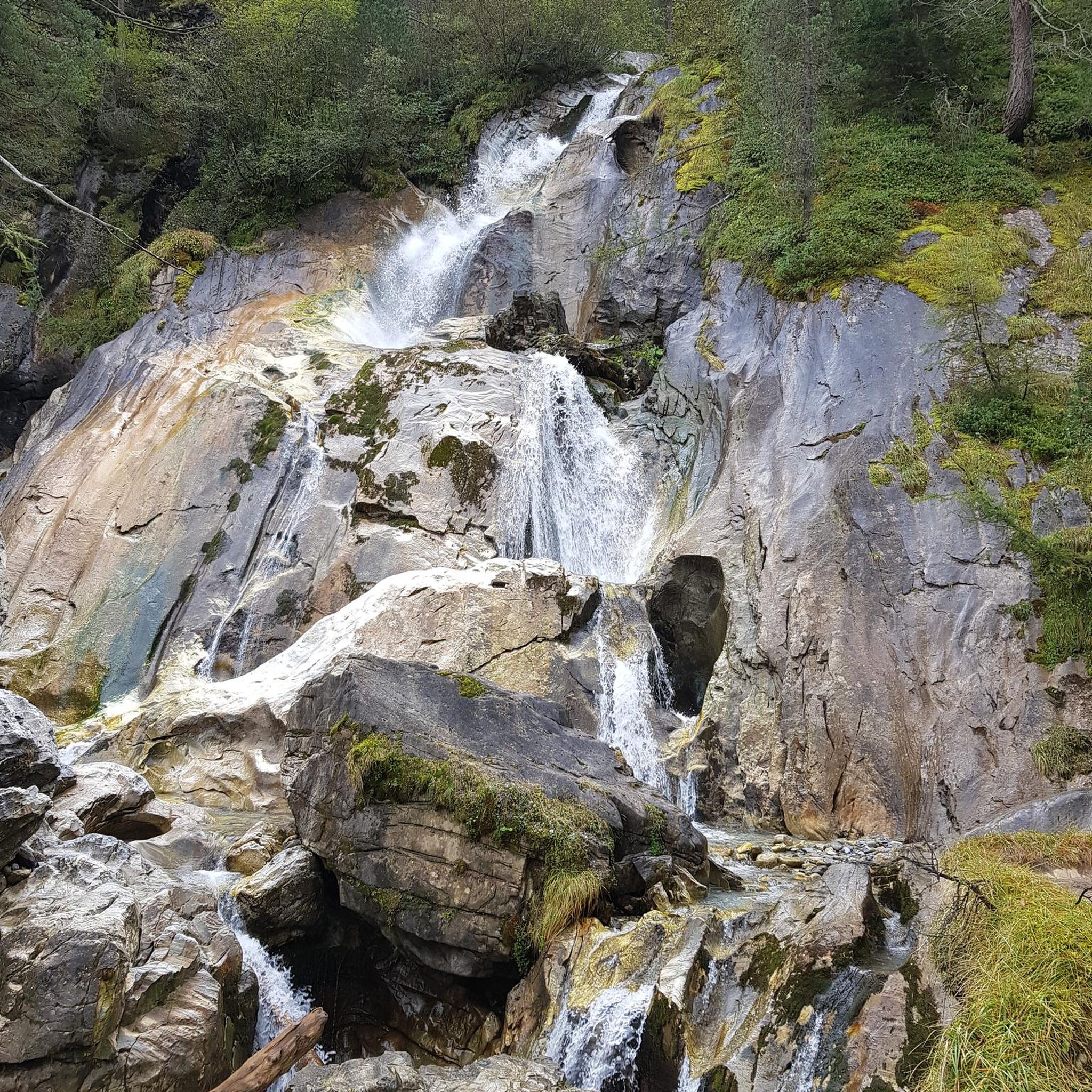
Hikes from bus stations around Annalong Wood

Hikes from bus stations in Ring Of Gullion Aonb

Hikes from bus stations around Clogharevan

Hikes from bus stations around Carneyhough
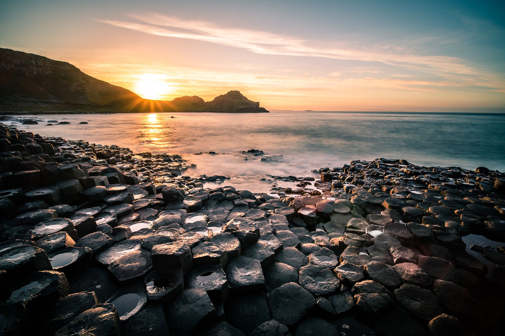
Cliffs, moors & gentle waves – walking in Northern Ireland
Bikepacking to the World Champs across Ireland and Scotland
Other adventures in Newry And Mourne


Tips from the Community

loads of stone walls The Mourne Wall is 22 miles long and consists of natural granite stone, It was built from 1904 to 1922
0
0

A wooden stile/ladder crossing the wall
3
0

In the middle of the forest, you suddenly find yourself standing in front of a bizarre stone creature - the "witch". She looks as if she has just risen from the mossy ground, with a mischievous smile and deep, expressive wrinkles on her face. This artfully designed stone is one of those unexpected encounters that transform the forest into a small adventure land. When you explore this magical place surrounded by old trees and whispering leaves, it almost seems as if the witch is greeting you with a wink. Here you can linger for a moment, enjoy the silence and let your imagination run wild - who knows what stories this forest still has to tell?
1
0
The hike to the Cloghmór Stone feels like a journey through time. Over 10,000 years ago, the ice brought this massive granite block from Scotland here, and now, weighing an estimated 50 tons, it towers majestically over the landscape. But it's not just the geology that's fascinating - according to legend, it was the giant Finn McCool who threw this enormous stone over Carlingford Lough. To be honest, the legend is a much more exciting explanation, isn't it? Once you've reached the top, you'll not only be greeted by the imposing boulder, but also by a fantastic view of Carlingford Lough and the surrounding hills. It's the perfect place to pause for a moment, take in the vastness and enjoy the peace that this place exudes.
0
0
The Viewpoint Trail takes you from Fiddlers Green through an enchanted landscape that takes you to the impressive Cloghmór Stone. The path is narrow and interspersed with moss-covered trees that create a mystical atmosphere, especially when the sun breaks through the dense branches. It is one of those trails that is best explored in dry conditions, as the ground can otherwise become quite slippery. Once at the top, you will be treated to stunning views over the water and the surrounding hills. The clear air and wide views invite you to pause for a moment and simply enjoy the moment. On the way back, you have the opportunity to wander through Fiddlers Green and soak up the peaceful atmosphere of this place. All along the path you will find rubbish bins to keep nature clean - a nice detail that shows respect for this place. When you look out over the valley, you will understand why this trail is a popular destination for hikers who want to leave the hustle and bustle behind and be inspired by nature.
0
0

A beautiful round stone, there is a legend about it but unfortunately we could not find out
0
0
A beautiful forest with good views of the sea
0
0
Frequently Asked Questions
How many bus station hiking trails are available in Newry And Mourne?
There are over 30 hiking trails in Newry And Mourne that are accessible from bus stations, with 20 of these being easy routes suitable for a wide range of hikers. The region offers a diverse landscape, from coastal paths to mountain ascents, all reachable via public transport.
Are there family-friendly hiking options accessible by bus in Newry And Mourne?
Yes, several routes are great for families. For an easy and engaging walk, consider the Cloughmore Stone loop from Rostrevor, which is relatively short and features the impressive Cloughmore Stone. Forest parks like Kilbroney and Slieve Gullion also offer varied trails and often include family-friendly attractions like the Narnia Trail or adventure playparks, though specific bus-accessible routes within these parks would need local timetable checks.
What are some easy hiking trails near bus stops in Newry And Mourne?
For an easy and scenic walk, the Cows in Mourne AONB – Stone Bridge in Mourne AONB loop from Kilkeel is a great option. It offers gentle terrain within the beautiful Mourne Area of Outstanding Natural Beauty. Another accessible easy route is the Cloughmore Stone loop from Rostrevor, providing lovely views without significant elevation gain.
Are there any circular hiking routes accessible from bus stations?
Yes, many of the bus-accessible routes in Newry And Mourne are circular, allowing you to start and end at the same point. For example, the Slieve Gullion Summit – Calliagh Beara Lough loop from Ring of Gullion AONB offers a challenging circular experience with panoramic views. Another option is the Start of Mourne Way Trail – Sandy beach at Lough Shanna loop from Attical, providing a moderate circular hike.
Can I bring my dog on these bus-accessible hiking trails?
Many trails in Newry And Mourne are dog-friendly, especially those in open countryside or forest parks. However, it's crucial to keep dogs on a lead, particularly in areas with livestock or ground-nesting birds, and to check local signage for any restrictions. Always ensure your dog is well-behaved and that you clean up after them. Specific bus services may have their own rules regarding pets, so it's advisable to check with the bus operator beforehand.
What kind of natural attractions can I see along these routes?
The region is rich in natural beauty. You can encounter dramatic peaks like the Slieve Gullion Summit or the iconic Summit of Slieve Donard. Tranquil water features include the Silent Valley Reservoir and Camlough Lake. Don't miss unique geological features like the Cloughmore Stone, a glacial erratic with local legends.
Are there any viewpoints or scenic spots on the bus-accessible trails?
Absolutely. The Mourne Mountains and Ring of Gullion offer breathtaking vistas. The View of Carlingford Lough – Slievemeen Summit loop from Rostrevor provides stunning views over Carlingford Lough. From the Slieve Gullion Summit, you can enjoy panoramic views across the Ring of Gullion and beyond. The Slieve Bearnagh area also offers incredible perspectives of the Mournes.
What is the best season for hiking in Newry And Mourne from bus stations?
Spring and autumn generally offer the most pleasant hiking conditions, with milder temperatures and beautiful scenery as flora blooms or foliage changes colour. Summer is also popular, but trails can be busier. Winter hiking is possible, especially on lower-level routes, but requires appropriate gear for potentially wet, windy, or icy conditions, particularly in the higher Mournes.
What do other hikers enjoy most about hiking in Newry And Mourne?
The area is highly rated by the komoot community, with an average score of 4.5 stars from over 800 ratings. Reviewers often praise the dramatic and diverse landscapes, from the rugged Mourne Mountains to the unique Ring of Gullion. The well-maintained paths, stunning coastal views, and the sense of wildness combined with accessibility are frequently highlighted.
Are there any historical or cultural points of interest along these bus-accessible routes?
Yes, the region is rich in history. The Mourne Mountains are crisscrossed by the historic Mourne Wall, a 31km dry-stone structure that offers a unique hiking experience. The Ring of Gullion features ancient sites, including the highest Passage Tomb in the British Isles on the Slieve Gullion Summit. The Brandy Pad, an old smuggler's trail, also winds through the Mournes, blending natural beauty with historical intrigue.
Where can I find more information about public transport schedules to these trailheads?
For the most up-to-date public transport schedules and route planning, it is best to consult Translink's official website, which operates bus services throughout Northern Ireland. Local tourist information centres in Newry or towns like Rostrevor and Kilkeel can also provide assistance with bus timetables relevant to specific trailheads.
Most popular routes in Newry And Mourne
Most popular attractions in Newry And Mourne

Get inspired with the komoot mobile app


Didn’t find what you were looking for?
Check out more Hikes throughout Newry And Mourne below and find the perfect route in your destination.
Explore more
Browse the best Hikes in other regions.
