Kilburn High And Low
Kilburn High And Low
The best hikes from bus stations around Kilburn High And Low
4.5
(1104)
7,819
hikers
60
hikes
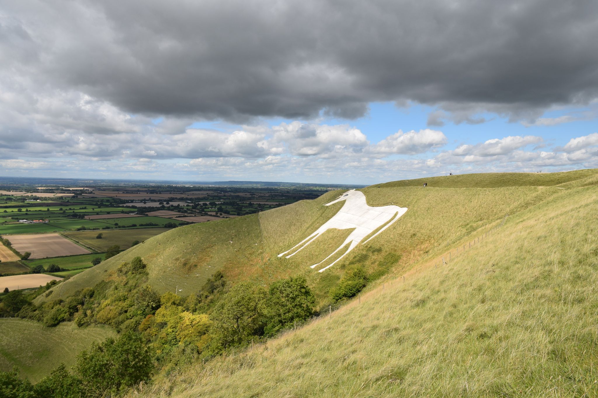
Bus station hiking trails around Kilburn High And Low offer varied landscapes, from open countryside to forested sections, with slight climbs and dips providing dynamic hiking experiences. The region is characterized by its scenic views over the lower surrounding countryside and features landmarks such as the iconic Kilburn White Horse. Hikers can explore areas close to Dalby Forest, known for its extensive walking trails, and enjoy pleasant walks over moors and quiet farm roads. This area provides diverse terrain for…
Last updated: July 7, 2026
5.0
(2)
29
hikers
13.2km
03:47
330m
330m
Moderate hike. Good fitness required. Easily-accessible paths. Suitable for all skill levels.
5.0
(1)
14
hikers
7.43km
02:12
220m
220m
Moderate hike. Good fitness required. Easily-accessible paths. Suitable for all skill levels.

Sign up for free
3.0
(1)
7
hikers
9.48km
02:47
250m
250m
Moderate hike. Good fitness required. Easily-accessible paths. Suitable for all skill levels.
7
hikers
11.7km
03:19
250m
250m
Moderate hike. Good fitness required. Easily-accessible paths. Suitable for all skill levels.
4.0
(1)
2
hikers
17.2km
04:44
290m
290m
Moderate hike. Good fitness required. Easily-accessible paths. Suitable for all skill levels.
Get access to more routes and recommendations from other explorers.
Sign up for free
Already have an account?
Our route recommendations are based on thousands of hikes, rides, and runs completed by other people on komoot.
Start today with a free account
Your next adventure awaits.
Login or Signup
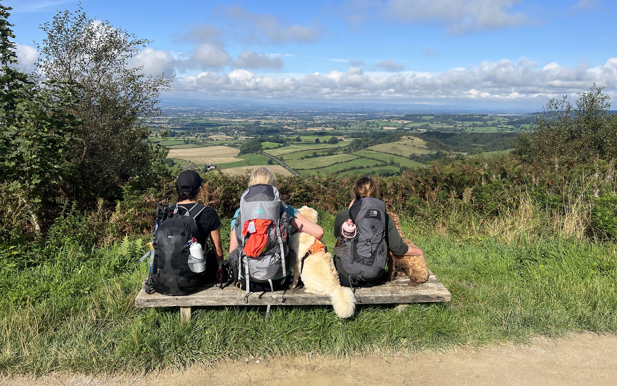
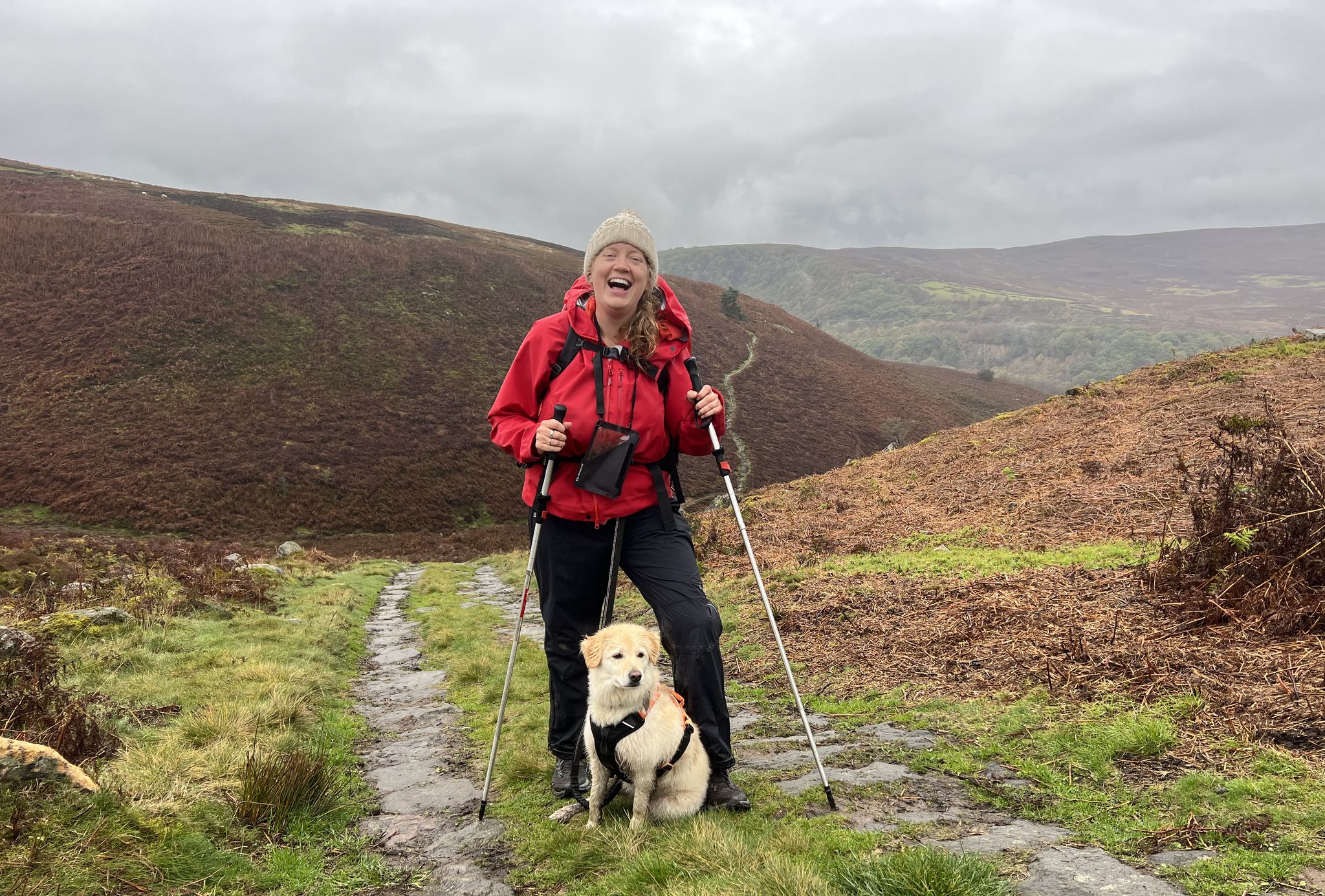
Other adventures around Kilburn High And Low


Tips from the Community

Byland Abbey is a ruined 12th-century monastery located in the North York Moors National Park in North Yorkshire, England, managed today by English Heritage. Once a powerhouse of the Cistercian order, it stands as one of the finest examples of early Gothic architecture in the country and famously inspired the design of the iconic Rose Window at York Minster.
0
0
The Abbey Inn at Byland is a historic, Grade-II listed 19th-century country pub with rooms located in York, North Yorkshire. Situated directly opposite the beautiful ruins of Byland Abbey.
0
0

Walk to Sutton Bank not just for the stunning scenery, but to watch gliders take off, towed by small planes, and glide back down. Sometimes they feel just an arm’s length away! A unique and thrilling sight.
0
0


Byland Abbey is a stunning ruin dating back to the 1100s. It was once one of the grandest medieval monasteries but was dissolved by Henry VIII in the 1530s. Today it offers a scenic picnic spot and a glimpse into history. It's free to visit and features a tearoom open from March to November, serving cakes and coffee
1
0
Attractive 17th century church in sandstone with Welsh slate roof
0
0

Large car park under the White Horse, £2.50 all day as at July 2024. Free parking in a smaller off-road car park on Osgodby Bank at the southern end of Hood Hill Plantation. Very steep steps up to the top, but there is a metal handrail that alternates from the left to right side of the steps. Fabulous views from the top, although as others mention, you can only really see and appreciate the horse from the bottom of the bank.
2
0
Frequently Asked Questions
How many bus station hiking trails are available in Kilburn High And Low?
There are over 60 bus-accessible hiking trails in the Kilburn High And Low area, offering a wide range of options for exploring the region without a car.
Are there easy bus-accessible hikes for beginners in Kilburn High And Low?
Yes, the region offers 21 easy bus-accessible routes perfect for beginners or those looking for a relaxed stroll. These trails typically feature gentle terrain and shorter distances, making them ideal for a leisurely day out.
Can I find more challenging bus-accessible hikes in the area?
For those seeking a greater challenge, there are 5 difficult bus-accessible hikes available. These routes often involve significant elevation changes and longer distances, providing a more strenuous and rewarding experience.
Are the bus station hiking trails in Kilburn High And Low suitable for families?
Many of the easy and moderate routes are suitable for families, offering varied landscapes that include open sections and forested paths. The area's dynamic terrain ensures an engaging experience for all ages. Always check individual route details for specific suitability.
Are dogs allowed on the bus-accessible hiking trails?
Generally, dogs are welcome on many trails in the Kilburn High And Low area, especially in the North Yorkshire region. However, it's always best to keep them on a lead, particularly near livestock or in nature conservation areas. Some bus services may have restrictions on pets, so check with the operator before travelling.
Are there circular bus-accessible routes available?
Yes, many of the bus-accessible routes in Kilburn High And Low are circular, allowing you to start and end your hike at the same bus stop. An example is the Kilburn White Horse – Yorkshire Gliding Club loop from Kilburn, which offers a moderate circular experience.
What kind of scenery can I expect on these bus station hikes?
The bus station hikes in Kilburn High And Low offer diverse scenery, from slight climbs and dips to open fields and forested sections. You can expect spectacular views over the lower surrounding countryside, including glimpses of the iconic Kilburn White Horse. Some routes also pass through charming villages and offer views of historic sites.
Are there any notable landmarks or attractions accessible from these bus routes?
Absolutely. A prominent landmark is the Kilburn White Horse, which can be seen or visited on routes like the Yorkshire Gliding Club – Kilburn White Horse loop from Kilburn. You might also encounter viewpoints such as View of the Northern Side of Hawnby Hill or Rievaulx Moor Trig Point, offering expansive vistas of the landscape.
What do other hikers say about the bus station trails in Kilburn High And Low?
The bus station trails in Kilburn High And Low are highly rated by the komoot community, with an average score of 4.49 stars. Reviewers often praise the convenience of car-free access, the varied and scenic landscapes, and the well-maintained paths that make for an enjoyable hiking experience.
What is the typical length and duration of these bus-accessible hikes?
The lengths and durations vary significantly. Easy routes might be a few kilometers long, taking an hour or two. Moderate trails, such as the Abbey Bank Wood — Path to Wass – Byland Abbey Ruins loop from Kilburn, can be around 13 km and take over 3.5 hours. Longer, more challenging routes can extend up to 17 km or more, requiring a full day of hiking.
Are there places to eat or drink near the bus-accessible trailheads?
Yes, some routes pass through or near villages where you might find local pubs or cafes. For instance, the historic Rievaulx Abbey, accessible via a walk from Helmsley (a short bus ride from Kilburn), has a good cafe. Always check opening times, especially in smaller villages.
What should I consider when planning a winter hike from a bus station?
When planning a winter hike, be prepared for colder temperatures, potentially icy or muddy paths, and shorter daylight hours. Dress in layers, wear waterproof footwear, and carry essential safety gear. Check bus schedules in advance, as services might be reduced in winter or affected by adverse weather conditions. Always prioritize safety and check local weather forecasts.
How can I find out which bus routes serve these trailheads?
To find specific bus routes, it's best to consult local public transport websites or use journey planners for North Yorkshire. These resources will provide up-to-date information on bus numbers, schedules, and stops that align with the starting points of these bus-accessible hiking trails.
Most popular routes around Kilburn High And Low
Most popular attractions around Kilburn High And Low

Get inspired with the komoot mobile app


Explore more
Browse the best Hikes in other regions.
