The best MTB trails around Kilburn High And Low
4.5
(226)
1,882
riders
49
rides
Mountain biking around Kilburn High And Low offers a diverse landscape for riders. The region is situated near the North York Moors National Park, characterized by a mix of escarpments, dense woodlands, and open moorland. Dedicated mountain bike trails are found at Sutton Bank, providing purpose-built routes alongside natural paths. This area presents varied terrain suitable for different skill levels.
Best mountain bike trails around Kilburn High And Low
- The most popular mountain bike trail is Paradise Trail (red) — Sutton Bank MTB trails, an 18.1 miles (29.2 km) trail that takes 2 hours 35 minutes to complete. This route is known for its varied terrain and technical sections within the Sutton Bank trail network.
- Another top favourite among local mountain bikers is Drovers Trail (blue) — Sutton Bank MTB trails, an easy 11.6 miles (18.7 km) path. This trail offers a more accessible ride through the woodlands and open areas of Sutton Bank.
- Local mountain bikers also love the Fort long loop (blue) — Sutton Bank MTB trails, a 9.7 miles (15.6 km) trail leading through the forested areas and offering views from the escarpment, often completed in about 1 hour 20 minutes.
- Mountain biking around Kilburn High And Low is defined by escarpment views, dense forests, and open moorland. The network offers options for easy, moderate, and difficult trails, catering to various ability levels.
- The routes in Kilburn High And Low are highly rated by the komoot community with an average score of 4.6 stars from over 200 reviews. More than 1,800 mountain bikers have used komoot to explore Kilburn High And Low's varied terrain.
Last updated: July 8, 2026
4.6
(72)
569
riders
29.2km
02:35
480m
480m
Moderate mountain bike ride. Good fitness required. Advanced riding skills necessary.
4.6
(31)
133
riders
18.7km
01:29
180m
180m
Easy mountain bike ride. Great for any fitness level. Suitable for all skill levels.

Sign up for free
4.6
(14)
119
riders
15.6km
01:21
230m
230m
Moderate mountain bike ride. Great for any fitness level. Advanced riding skills necessary.
4.8
(5)
90
riders
9.92km
00:46
90m
90m
Easy mountain bike ride. Great for any fitness level. Suitable for all skill levels.
5.0
(3)
32
riders
39.3km
03:47
880m
880m
Get ready for a moderate mountain biking adventure on the Bleaky Hill and Gormire Hill loop, covering 24.4 miles (39.3 km) with a significant 2880 feet (878 metres) of elevation gain. This route, which typically takes 3 hours and 47 minutes, offers spectacular views, especially from Whitestone Cliff, where you can see Gormire Lake and the distant Vale of York. You'll navigate varied terrain, including 19.1 kilometers of natural singletrack and challenging rutted sections across open moorland. Imagine riding through purple heather in August, adding vibrant color to the landscape. The trail demands good fitness and advanced riding skills, promising a rewarding challenge.
This loop is rated as moderate, requiring you to have good physical fitness and advanced riding skills due to its varied and sometimes rough surfaces. The trail features a mix of natural, unpaved, and gravel sections, alongside some paths, cycleways, and shorter stretches of paved roads. While the research does not specify trailhead access or parking details, planning your visit during August will allow you to experience the open moorland at its most vibrant, when the purple heather is in full bloom.
One of the most notable features of this route is a brilliant descent across open moorland, described as rutted, rough, and wonderfully enjoyable, especially when the heather is blooming. Gormire Lake, a natural lowland lake nestled at the foot of Whitestone Cliff and surrounded by the Hambleton Hills, is another highlight you will encounter. This diverse mix of natural singletrack and breathtaking views makes the Bleaky Hill and Gormire Hill loop a memorable ride for experienced mountain bikers seeking a rewarding challenge in the North York Moors.
Get access to more routes and recommendations from other explorers.
Sign up for free
Already have an account?
Our route recommendations are based on thousands of hikes, rides, and runs completed by other people on komoot.
Start today with a free account
Your next adventure awaits.
Login or Signup
Popular around Kilburn High And Low
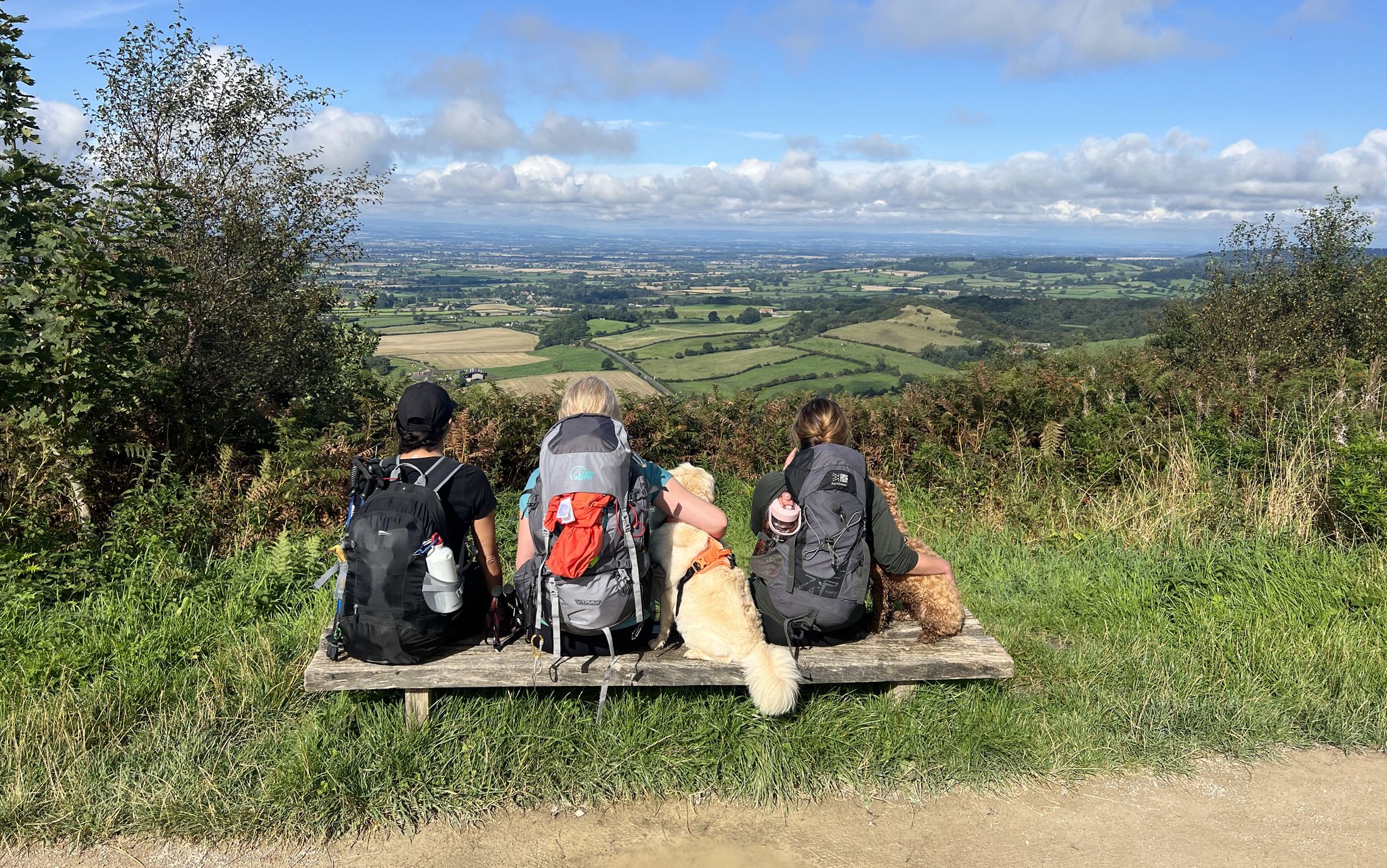
North York Moors National Park – A Walk in the Parks
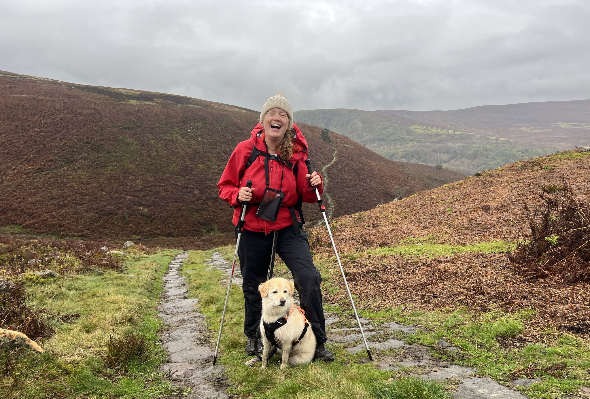
A Walk in the Parks – hikes across all of England’s national parks
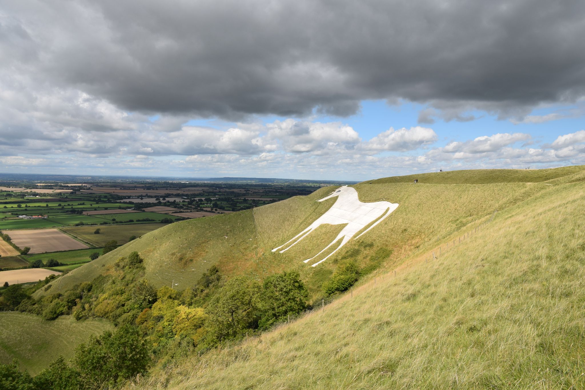
Exploring England's enigmatic hill carvings — chalk hill figures
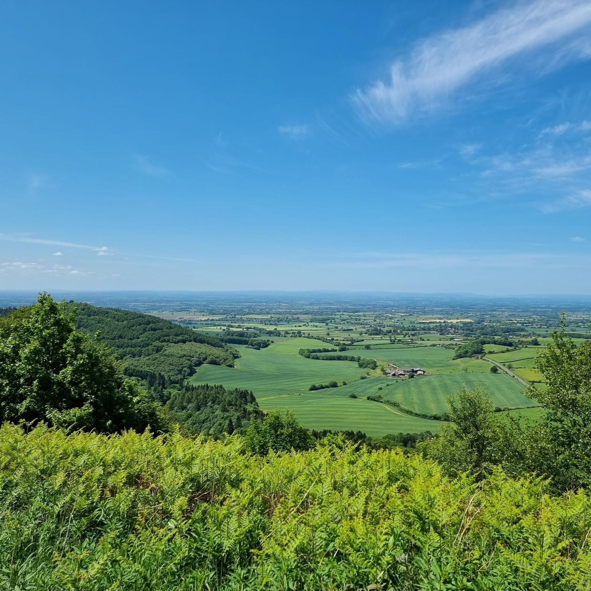
Hiking around Kilburn High And Low
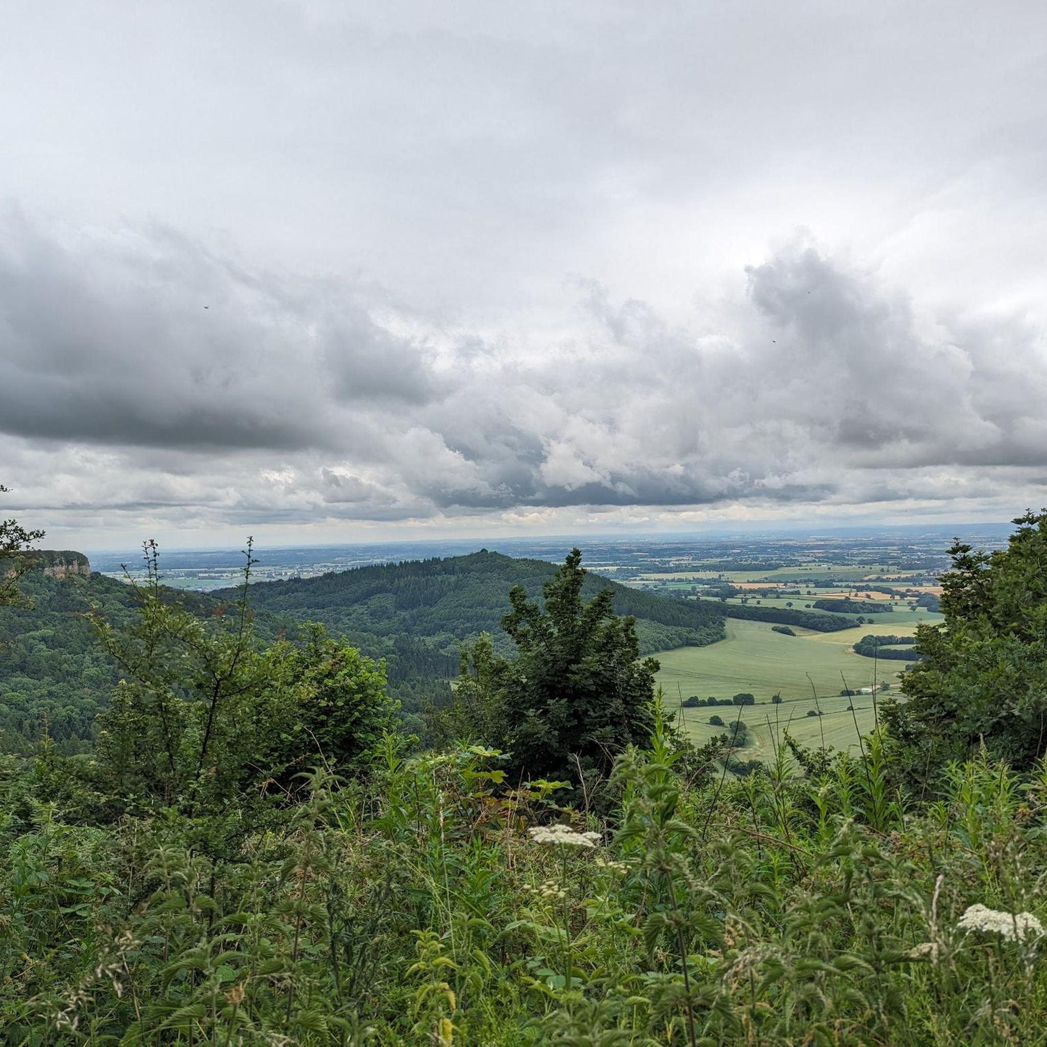
Running Trails around Kilburn High And Low

Gravel biking around Kilburn High And Low
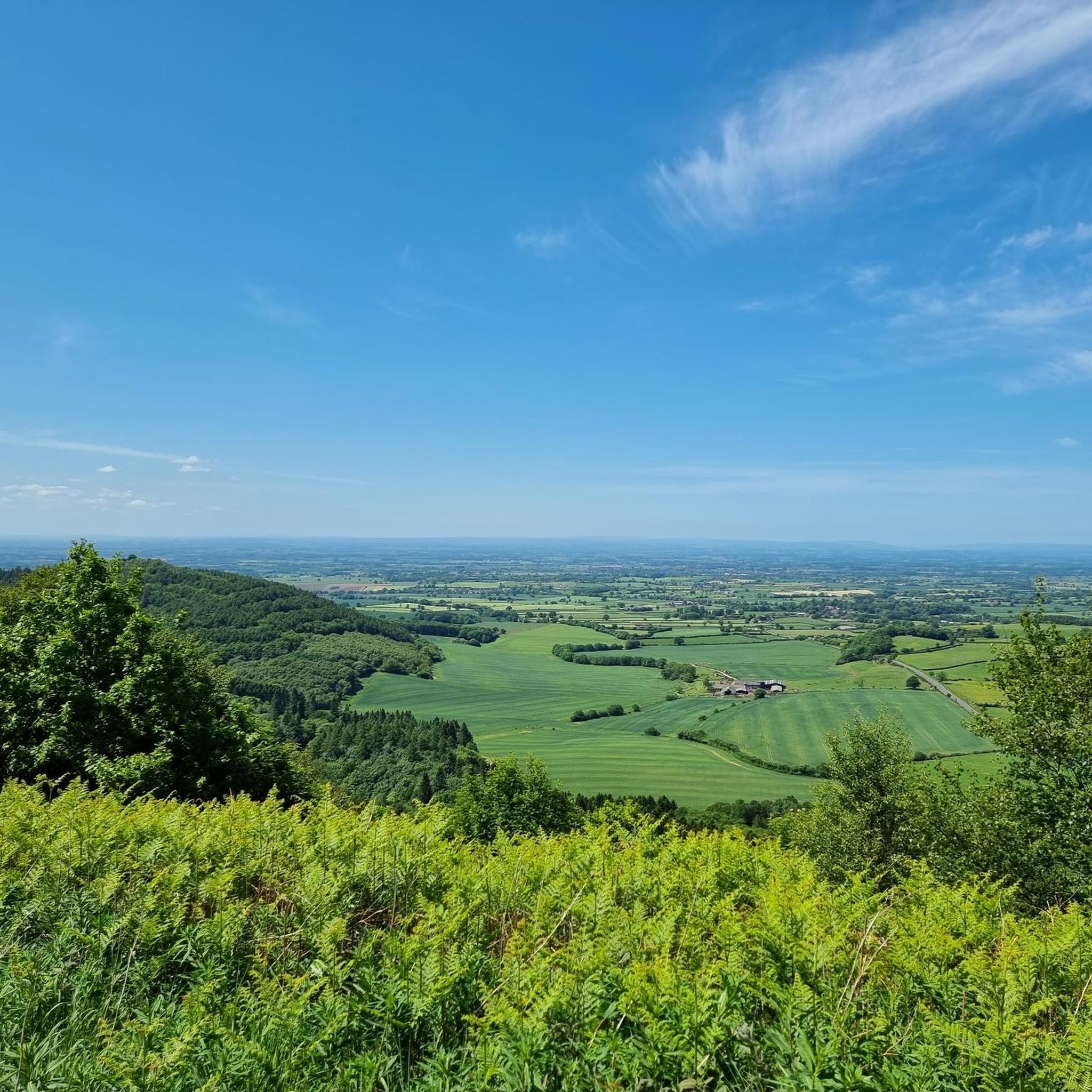
Cycling around Kilburn High And Low
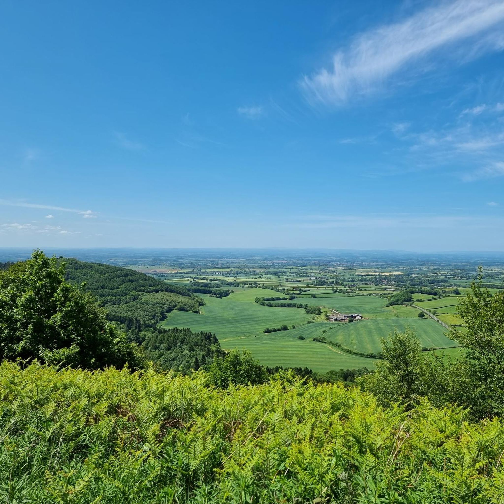
Road Cycling Routes around Kilburn High And Low
Other adventures around Kilburn High And Low


Tips from the Community

Finest View in England
1
0

Great route despite the heavy rain in previous days. Will plot a route staying more on the high moor tracks.
0
0
Sutton Bank National Park Centre - all the facilities to start and finish your ride.
0
0

Nice stop on an arduous Boltby loop, Ted the dog is the best host!
0
0

Great Cycling hub with all the facilities.
0
0

This charming café and farm offers lovely local cuisine and a variety of seasonal produce for sale. The vegetables featured on the menu are cultivated in the on-site poly tunnel, and everything else is sourced as sustainably as possible. Accessible only by foot, bike, or horse, the whole farm exudes a lovely sense of seclusion. It's the perfect place to stop and fuel up on a long walk.
1
0

A lovely place to sit and eat food. Lunch, scones, teas and coffees served, and there are lovely benches provided outside the cafe. Good, green grounds.
2
1

The Cleveland Way is a long distance hiking trail stretching from Helmsley and ending in Filey, circling the North York Moors National Park (https://www.komoot.com/collection/888432/hike-empty-hills-majestic-moors-and-golden-coast-cleveland-way). In some sections you can ride along the way too, like here where it's on a bridleway. While this section is fairly wide, take care on busier summer days when there are plenty of walkers, horse riders and other cyclists on the Cleveland Way.
1
0
Frequently Asked Questions
How many mountain bike trails are available around Kilburn High And Low?
There are over 50 mountain bike trails around Kilburn High And Low, offering a wide range of options for different skill levels. The area is particularly known for the dedicated trails at Sutton Bank.
Are there easy mountain bike trails suitable for beginners in Kilburn High And Low?
Yes, Kilburn High And Low offers several easy mountain bike trails. A great option for beginners is the Drovers Trail (blue) — Sutton Bank MTB trails, an 11.6-mile path that provides an accessible ride through woodlands and open areas. Another good choice is the Fort short loop (blue) — Sutton Bank MTB trails, which is just under 10 miles long.
What are some challenging mountain bike trails for advanced riders?
For more experienced riders seeking a challenge, the Paradise Trail (red) — Sutton Bank MTB trails is a popular choice. This 18.1-mile route features varied terrain and technical sections within the Sutton Bank network. While there are 6 difficult trails in the area, the Paradise Trail is a standout for its demanding nature.
Are there family-friendly mountain bike routes in the area?
Yes, the trails at Sutton Bank include options suitable for families. The blue-graded trails, such as the Drovers Trail or the Fort short loop, are generally considered family-friendly due to their easier difficulty and well-maintained surfaces. The Sutton Bank National Park Centre also offers amenities that make it a good starting point for family outings.
Where can I find parking for mountain biking trails in Kilburn High And Low?
The primary hub for mountain biking in the area is Sutton Bank. You'll find ample parking available at the Sutton Bank National Park Centre, which serves as a convenient starting point for many of the trails.
What is the best season for mountain biking around Kilburn High And Low?
The best season for mountain biking around Kilburn High And Low is generally spring through autumn (April to October). During these months, the weather is typically milder, and the trails are drier, offering better riding conditions. While winter riding is possible, some trails may be muddy or icy, especially in forested areas or on higher ground.
Are there any scenic mountain bike trails with good views?
Absolutely. The region is known for its escarpment views. Trails like the Fort long loop (blue) at Sutton Bank lead through forested areas and offer stunning vistas from the escarpment. Many routes within the North York Moors National Park also provide expansive views of the surrounding moorland and countryside.
What do other mountain bikers enjoy most about the trails in Kilburn High And Low?
The mountain bike trails around Kilburn High And Low are highly rated by the komoot community, with an average score of 4.6 stars. Riders often praise the diverse landscape, which includes a mix of escarpments, dense woodlands, and open moorland, catering to various skill levels. The well-maintained, purpose-built trails at Sutton Bank are also a frequent highlight.
Are there any circular mountain bike routes in the area?
Yes, many of the mountain bike trails in Kilburn High And Low are designed as circular routes, allowing you to start and finish at the same point. For example, the Bleaky Hill and Gormire Hill loop offers a longer circular experience through the North York Moors National Park.
What interesting landmarks or attractions can I see along the mountain bike trails?
The area offers several points of interest. Near the trails, you can find the Sutton Bank National Park Centre, which is a hub for activities. For scenic views, consider visiting viewpoints like the View of the Northern Side of Hawnby Hill or the Rievaulx Moor Trig Point, which are accessible from some routes.
Are there facilities like bike shops or cafes near the trails?
Yes, at the main trail hub, you'll find the Sutton Bank National Park Centre, which includes a cafe. Additionally, the Sutton Bank Bikes Shop & Bike Wash is conveniently located for any equipment needs or post-ride cleaning.
What are the typical weather conditions for mountain biking in Kilburn High And Low?
Kilburn High And Low, being close to the North York Moors, experiences varied weather. Expect cooler temperatures and potential for rain, especially outside of summer. The open moorland sections can be exposed to wind, while forested trails offer more shelter. Always check the local forecast before heading out, as conditions can change rapidly.
Most popular routes around Kilburn High And Low
Most popular attractions around Kilburn High And Low

Get inspired with the komoot mobile app


Explore more
Browse the best MTB trails in other regions.
