The best hikes from bus stations around South Harris
4.5
(61)
488
hikers
9
hikes
Hiking around South Harris offers diverse landscapes, from the white sand beaches and turquoise waters of the western coast to the rugged, rocky inlets of the eastern "Bays." Inland areas feature moorland, freshwater lochs, and rolling hills. The region's terrain includes coastal paths, machair plains, and ascents to hills like Ceapabhal, providing varied experiences for hikers.
Best bus station hiking trails around South Harris
- The most popular bus station hiking route is Head of Ob Lickisto – Seilebost Beach loop…
Last updated: July 7, 2026
3.0
(2)
13
hikers
3.01km
00:47
30m
20m
Easy hike. Great for any fitness level. Easily-accessible paths. Suitable for all skill levels.
5.0
(1)
9
hikers
18.8km
05:04
250m
250m
Hard hike. Very good fitness required. Easily-accessible paths. Suitable for all skill levels.

Sign up for free
1
hikers
11.4km
03:14
250m
250m
Moderate hike. Good fitness required. Easily-accessible paths. Suitable for all skill levels.
5.0
(3)
10
hikers
10.1km
02:51
220m
220m
Moderate hike. Good fitness required. Easily-accessible paths. Suitable for all skill levels.
2
hikers
2.39km
00:37
10m
10m
Easy hike. Great for any fitness level. Easily-accessible paths. Suitable for all skill levels.
Get access to more routes and recommendations from other explorers.
Sign up for free
Already have an account?
Our route recommendations are based on thousands of hikes, rides, and runs completed by other people on komoot.
Start today with a free account
Your next adventure awaits.
Login or Signup
Popular around South Harris
Other adventures around South Harris

Tips from the Community


During the 19th century, many of Harris’ inhabitants were forcibly moved from their homes on the west coast to make way for sheep farming. This historic coffin road was used by the locals in the east to take their dead to burial sites in the west. The route is used by the Hebridean Way long-distance trail.
0
0

St. Clement's Church is hailed as "the grandest medieval building in the Western Isles." The church was founded by Alasdair 'Crotach' MacLeod of Dunvegan and Harris, the 8th chief of Clan MacLeod. He died in 1547, and his remarkable tomb can be seen inside the church.
1
1

The Isle of Harris was beautiful from top to bottom!
0
0

There are endless opportunities for beautiful cycling on the Isle of Harris, where you're treated to breathtaking views at every turn. You can enjoy rugged mountain landscapes, stunning beaches with turquoise waters, and dramatic mountainous terrain.
1
0
Enjoy the peace of the Isle of Harris' rolling hills and hidden lochs as you make your way through this serene landscape.
1
0

need to turn here at sign post or carry one to main road. I would say clockwise is a bit easier.
0
1
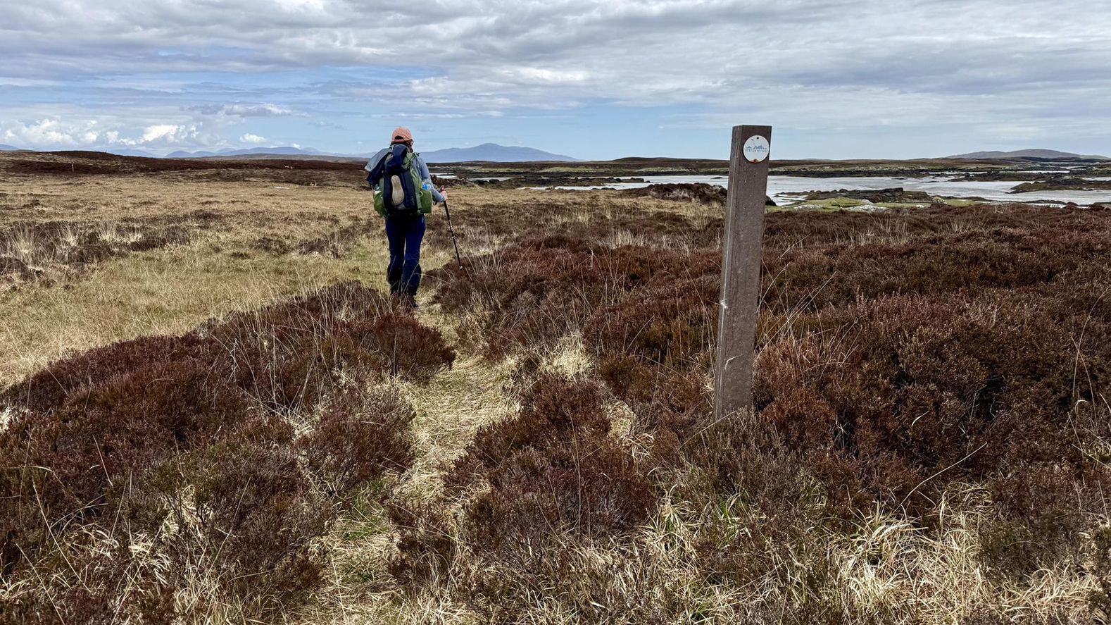
you can go over the main bridge or there is a track as you see on sign post in photo, you join up to the main road in about 3/4 of a mile.
0
1
Frequently Asked Questions
How many bus-accessible hiking trails are available in South Harris?
There are 9 bus-accessible hiking trails detailed in this guide for South Harris, offering a range of experiences from easy strolls to more challenging day hikes. You'll find 2 easy routes, 5 moderate, and 2 difficult options.
What kind of terrain can I expect on bus-accessible hikes in South Harris?
South Harris offers incredibly diverse terrain. You can expect coastal paths along stunning white sand beaches like Luskentyre and Scarista, rugged moorland, and ascents to hills offering panoramic views. The eastern coast, known as 'The Bays,' features a deeply indented, rocky landscape, while inland routes may traverse areas with freshwater lochs and machair, which are fertile grassy plains vibrant with wildflowers in early summer.
Are there any easy, family-friendly walks accessible by bus in South Harris?
Yes, there are a couple of easy routes perfect for families. The Loch Thorsagearraidh – St Clement's Church, Rodel loop from Rodel is a gentle 3 km walk, and the Hiking loop from Northton is another easy option at just under 2.5 km. These routes are generally flat with minimal elevation gain, making them suitable for most abilities.
What historical or natural landmarks can I see along these bus-accessible routes?
Many routes offer access to significant landmarks. For instance, the Loch Thorsagearraidh loop from Rodel passes by the historic St. Clement's Church. You can also explore stunning beaches like Luskentyre Beach, Horgabost Campsite and Beach, and Scarasta Beach, which are often near bus stops. The Golden Road on the east coast is also a notable feature.
Are there any longer, more challenging bus-accessible hikes?
Absolutely. For a more challenging experience, consider the Head of Ob Lickisto – Seilebost Beach loop from Likisto, which is a difficult 18.6 km route with significant elevation changes. This trail offers a great way to experience the rugged beauty of South Harris.
What do other hikers say about the trails in South Harris?
The trails in South Harris are highly regarded by the komoot community, with an average rating of 4.5 stars. Hikers frequently praise the dramatic and contrasting landscapes, the pristine white sand beaches, and the sense of remote wilderness. The ever-changing sea views and the unique cultural heritage, such as Harris Tweed, also contribute to a memorable experience.
Can I find circular routes that start and end at a bus stop?
Yes, several routes in this guide are circular, allowing you to start and finish your hike conveniently at the same bus stop. Examples include the Loch Thorsagearraidh – St Clement's Church, Rodel loop from Rodel and the Head of Ob Lickisto – The Coffin Road loop from Gròsa Cleit.
What is the best time of year to hike in South Harris, considering bus accessibility?
The best time to hike in South Harris is generally from late spring to early autumn (May to September). During these months, the weather is milder, daylight hours are longer, and bus services are typically more frequent, especially to popular trailheads. Early summer also brings vibrant wildflowers to the machair. Always check local bus schedules as they can vary seasonally.
Are there any moderate hikes accessible by bus that offer great views?
Yes, the View of the Isle of Harris – Loch Airigh Iain Oig loop from Gròsa Cleit is a moderate 11.4 km route that provides excellent views of the surrounding landscapes, including the Isle of Harris. This trail combines inland exploration with scenic vistas.
Are dogs allowed on the bus-accessible hiking trails in South Harris?
Generally, dogs are welcome on most hiking trails in South Harris, but it's crucial to keep them under control, especially in areas with livestock or ground-nesting birds. Always follow the Scottish Outdoor Access Code. While dogs are permitted on buses in the Outer Hebrides, specific rules (e.g., must be on a lead, may require a muzzle, or at the driver's discretion) can apply, so it's advisable to check with the bus operator beforehand.
Where can I find information about bus routes and schedules for these trails?
For detailed and up-to-date information on bus routes and schedules in South Harris, it's best to consult the local bus operator's website or the Comhairle nan Eilean Siar (Western Isles Council) public transport pages. Bus stops are typically located in villages and near key points, making many of these trails easily reachable.
Most popular attractions around South Harris

Get inspired with the komoot mobile app


Explore more
Browse the best Hikes in other regions.
