The best traffic-free bike rides in Rannaleiten
4.5
(65)
1,745
riders
21
rides
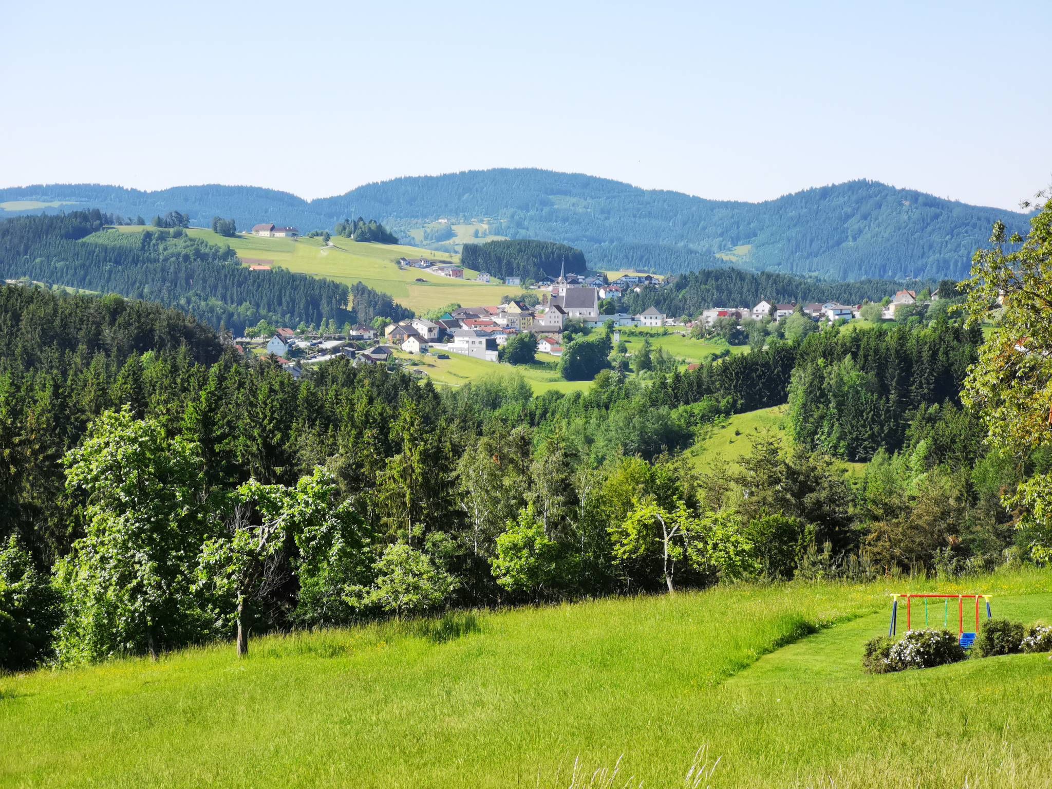
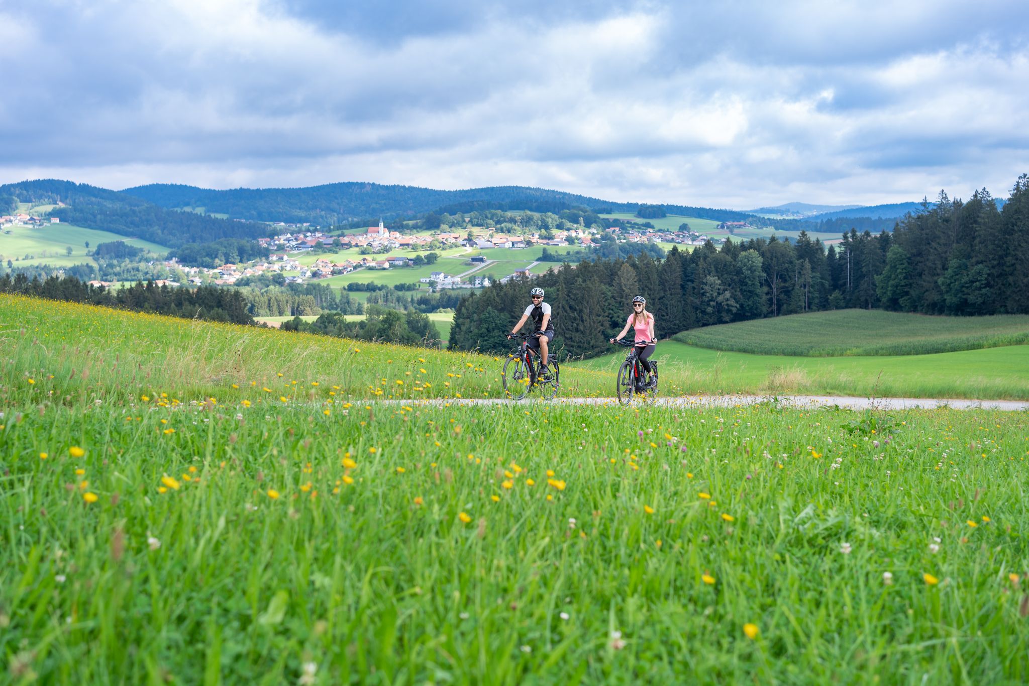
No traffic road cycling routes in Rannaleiten traverse a landscape characterized by rolling hills and river valleys, offering varied terrain for road cyclists. The region features a mix of moderate climbs and scenic stretches, often following quiet country lanes. Elevation changes are common, with routes ascending hills that provide expansive views of the surrounding area. This environment is well-suited for road cycling, providing both challenging sections and more relaxed paths away from busy roads.
Best no traffic road cycling routes…
Last updated: July 6, 2026
14
riders
52.7km
02:48
960m
960m
Hard road ride. Very good fitness required. Mostly well-paved surfaces and easy to ride.
4.8
(19)
222
riders
60.3km
02:41
490m
490m
Moderate road ride. Good fitness required. Some segments of this route may be unpaved and difficult to ride.

Sign up for free
5.0
(3)
25
riders
51.1km
02:47
880m
880m
Moderate road ride. Good fitness required. Some segments of this route may be unpaved and difficult to ride.
5.0
(1)
5
riders
Moderate road ride. Good fitness required. Mostly well-paved surfaces and easy to ride.
6
riders
35.7km
02:10
830m
830m
Moderate road ride. Good fitness required. Mostly well-paved surfaces and easy to ride.
Get access to more routes and recommendations from other explorers.
Sign up for free
Already have an account?
Our route recommendations are based on thousands of hikes, rides, and runs completed by other people on komoot.
Start today with a free account
Your next adventure awaits.
Login or Signup
Popular around Rannaleiten


Other adventures in Rannaleiten


Tips from the Community


Niederkappel is a municipality in Upper Austria, in the Rohrbach district of the upper Mühlviertel region, with 996 inhabitants. The municipality lies within the Rohrbach judicial district.
0
0
The parish church of Rannariedl is located in the village of Pühret, in the municipality of Neustift im Mühlkreis, in the upper Mühlviertel region of Upper Austria. The Roman Catholic parish church of the Assumption of Mary belongs to the deanery of Sarleinsbach in the Diocese of Linz. The church is a listed building.
0
0


The trip costs 3 euros per person (including bicycle)
4
0
Caution cyclists! There are 90 steps to climb. Not feasible for everyone with the heavy e-bikes.
5
0


Frequently Asked Questions
How many no-traffic road cycling routes are available in Rannaleiten?
There are over 20 no-traffic road cycling routes in Rannaleiten, offering a variety of options for peaceful rides away from busy roads. These routes are specifically curated for a serene cycling experience.
What kind of terrain can I expect on Rannaleiten's no-traffic road cycling routes?
The no-traffic road cycling routes in Rannaleiten offer a mix of terrain. While some routes like the Limitless – Parish Church of Pühret loop from Stiftskirche Engelszell feature significant elevation gains, others are more moderate, providing varied challenges for cyclists.
Are there any easy no-traffic road cycling routes for beginners in Rannaleiten?
Yes, Rannaleiten offers at least one easy no-traffic road cycling route, perfect for beginners or those looking for a relaxed ride. Most routes are moderate, but there are options to suit different fitness levels.
What do other cyclists say about the no-traffic road cycling routes in Rannaleiten?
The no-traffic road cycling routes in Rannaleiten are highly rated by the komoot community, with an average score of 4.48 out of 5 stars. Cyclists often praise the quiet roads and the opportunity for undisturbed rides.
Can I find circular no-traffic road cycling routes in Rannaleiten?
Yes, many of the no-traffic road cycling routes in Rannaleiten are circular, allowing you to start and end at the same point. Examples include the Marsbach Castle – Schlögen Loop loop from Hofkirchen im Mühlkreis and the Ameisberg Ascent – Ameisberg Tower loop from Oberkappel.
Are there any notable landmarks or attractions along the no-traffic road cycling routes in Rannaleiten?
While cycling, you might encounter various points of interest. Nearby attractions include the Ranna Reservoir Dam and the historic Falkenstein Castle Ruins. There are also unique natural features like the Water Pipeline Trail and the Fords Trail in the Ranna Valley.
What is the average length and elevation gain for no-traffic road cycling routes in Rannaleiten?
The routes vary significantly. For instance, the Panorama Café Bauer – "Garden without end" loop from Pfarrkirchen im Mühlkreis is around 24 km with over 450 meters of elevation gain, while the Untermühl – Obermühl loop from Hofkirchen im Mühlkreis covers about 51 km with nearly 880 meters of ascent.
Are there any challenging no-traffic road cycling routes for experienced cyclists?
Yes, Rannaleiten offers several challenging no-traffic road cycling routes. For example, the Limitless – Parish Church of Pühret loop from Stiftskirche Engelszell is classified as difficult, featuring significant elevation changes over its 52 km distance.
Are there any specific viewpoints or scenic spots along the no-traffic road cycling routes?
While specific viewpoints are not detailed for every route, the region's natural setting suggests scenic opportunities. Routes like the Ameisberg Ascent – Ameisberg Tower loop from Oberkappel often lead to towers or elevated points, likely offering panoramic views.
What should I bring for a no-traffic road cycling trip in Rannaleiten?
Given the varied lengths and elevations of the routes, it's advisable to bring appropriate gear for road cycling, including water, snacks, a repair kit, and weather-appropriate clothing. For longer or more challenging routes, consider bringing extra hydration and energy supplies.
Are there any routes that pass by traditional boats or river views?
Yes, you can find unique cultural sights. For instance, the Traditional Zille Boats on the Danube at Niederranna are a nearby attraction, suggesting routes in that vicinity might offer views of the Danube river and these historic vessels.
Most popular routes in Rannaleiten
Most popular attractions in Rannaleiten

Get inspired with the komoot mobile app


Explore more
Browse the best Road cycling routes in other regions.
