The best MTB trails in Rannaleiten
4.5
(753)
3,191
riders
160
rides
Mountain bike trails in Rannaleiten traverse a landscape characterized by dense forests and river valleys, including the Ranna River and the Danube. The region features varied terrain with rolling hills and some notable ascents, offering diverse riding experiences. Mountain bikers can expect routes that combine natural scenery with historical points of interest like castles. The area provides a mix of challenging climbs and more gentle riverside paths.
Best mountain bike trails in Rannaleiten
- The most popular mountain bike trail is…
Last updated: July 11, 2026
4.8
(13)
29
riders
36.5km
02:28
460m
460m
Hard mountain bike ride. Good fitness required. Advanced riding skills necessary. Some portions of the route may require you to push your bike.
5.0
(3)
32
riders
Easy mountain bike ride. Great for any fitness level. Suitable for all skill levels.

Sign up for free
4.8
(8)
12
riders
49.4km
03:23
810m
810m
Moderate mountain bike ride. Good fitness required. Advanced riding skills necessary.
3.5
(2)
18
riders
30.8km
02:46
760m
760m
Moderate mountain bike ride. Good fitness required. Advanced riding skills necessary.
5.0
(3)
12
riders
24.2km
02:18
680m
680m
Moderate mountain bike ride. Good fitness required. Advanced riding skills necessary.
Get access to more routes and recommendations from other explorers.
Sign up for free
Already have an account?
Our route recommendations are based on thousands of hikes, rides, and runs completed by other people on komoot.
Start today with a free account
Your next adventure awaits.
Login or Signup
Popular around Rannaleiten
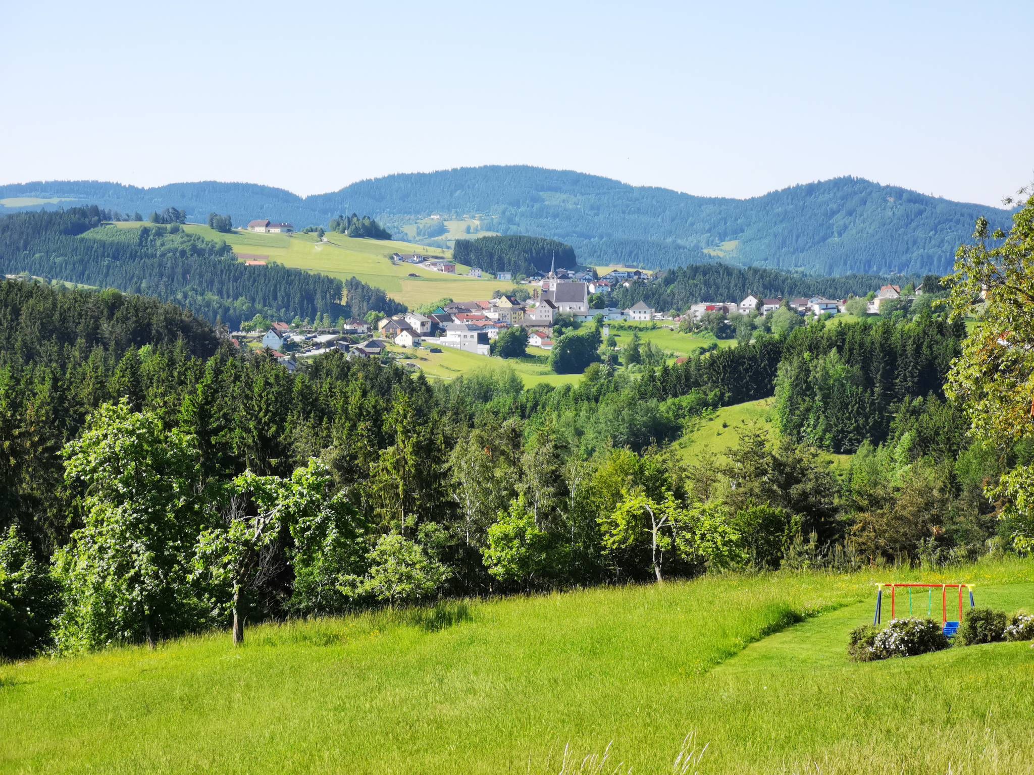
Austria's Mühlviertel Cycle Path — A hilly idyll

E-bike Tours in the Danube region in Upper Austria
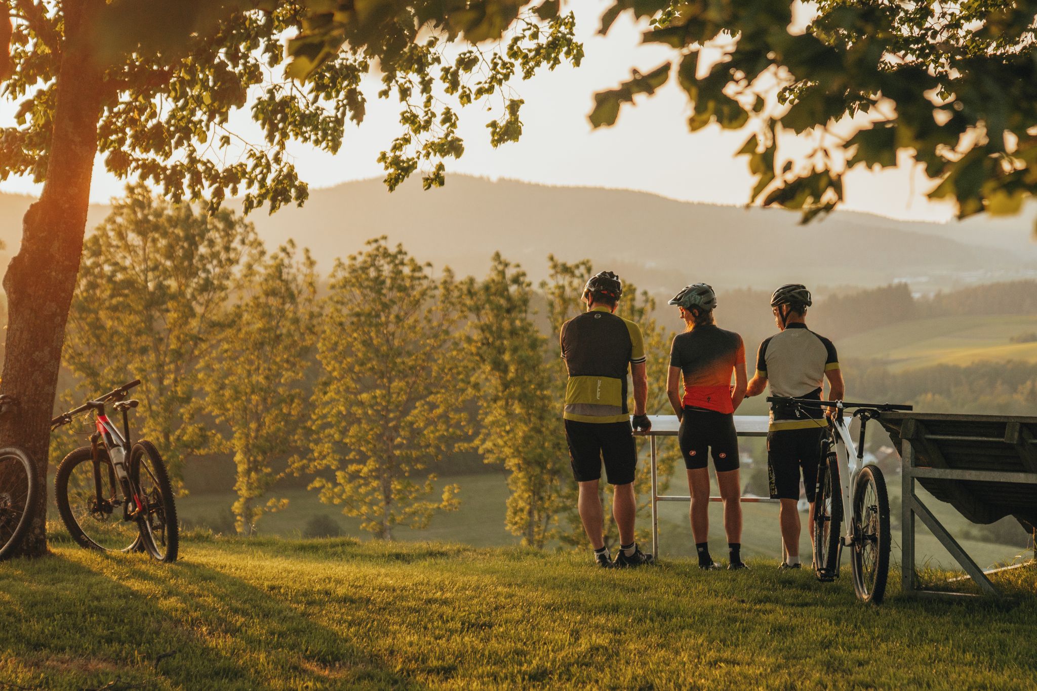
Biken auf der Grande Granit-Runde
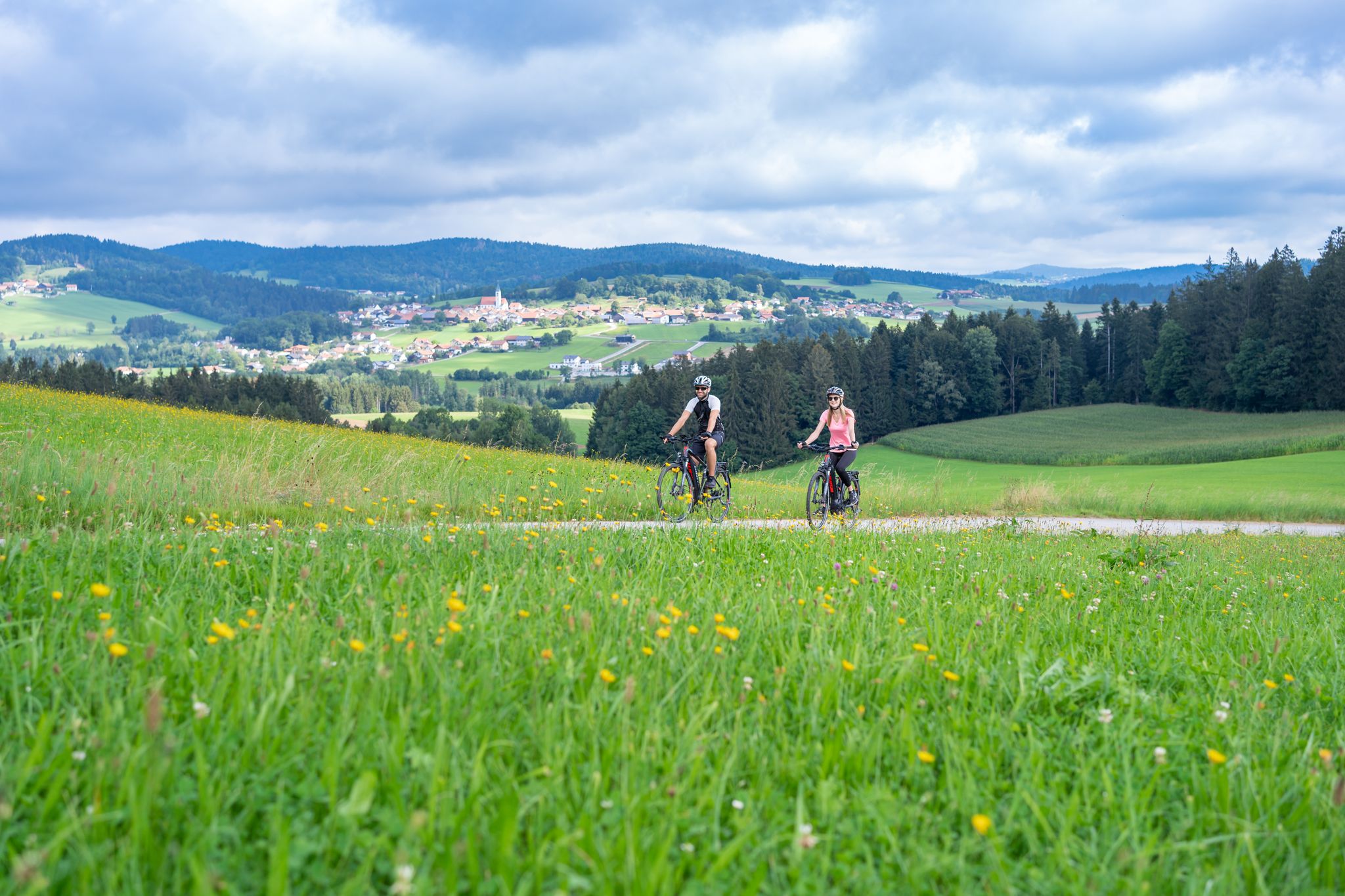
Radtouren zwischen Donau und Moldau - unterwegs im Bayerischen Wald
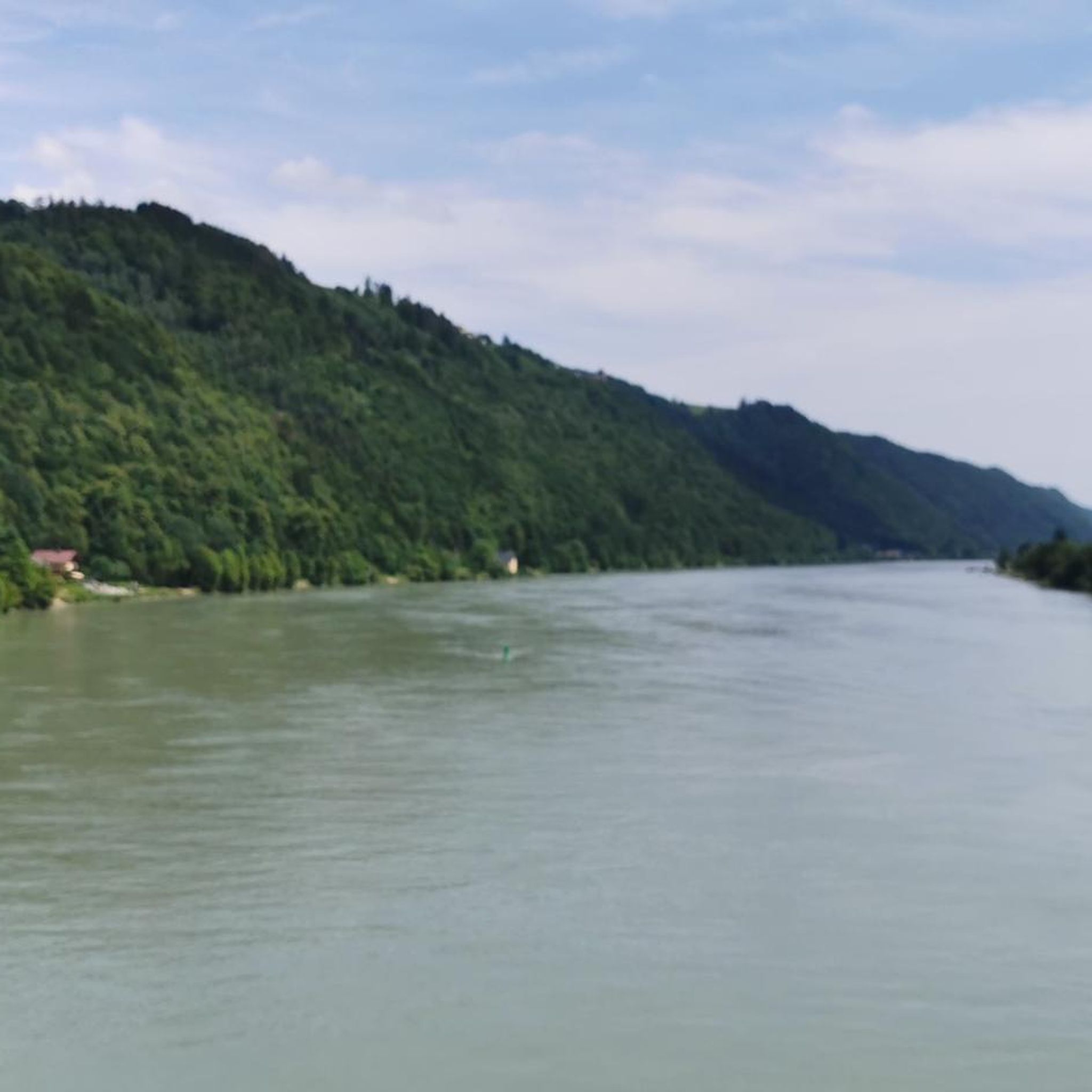
Cycling in Rannaleiten
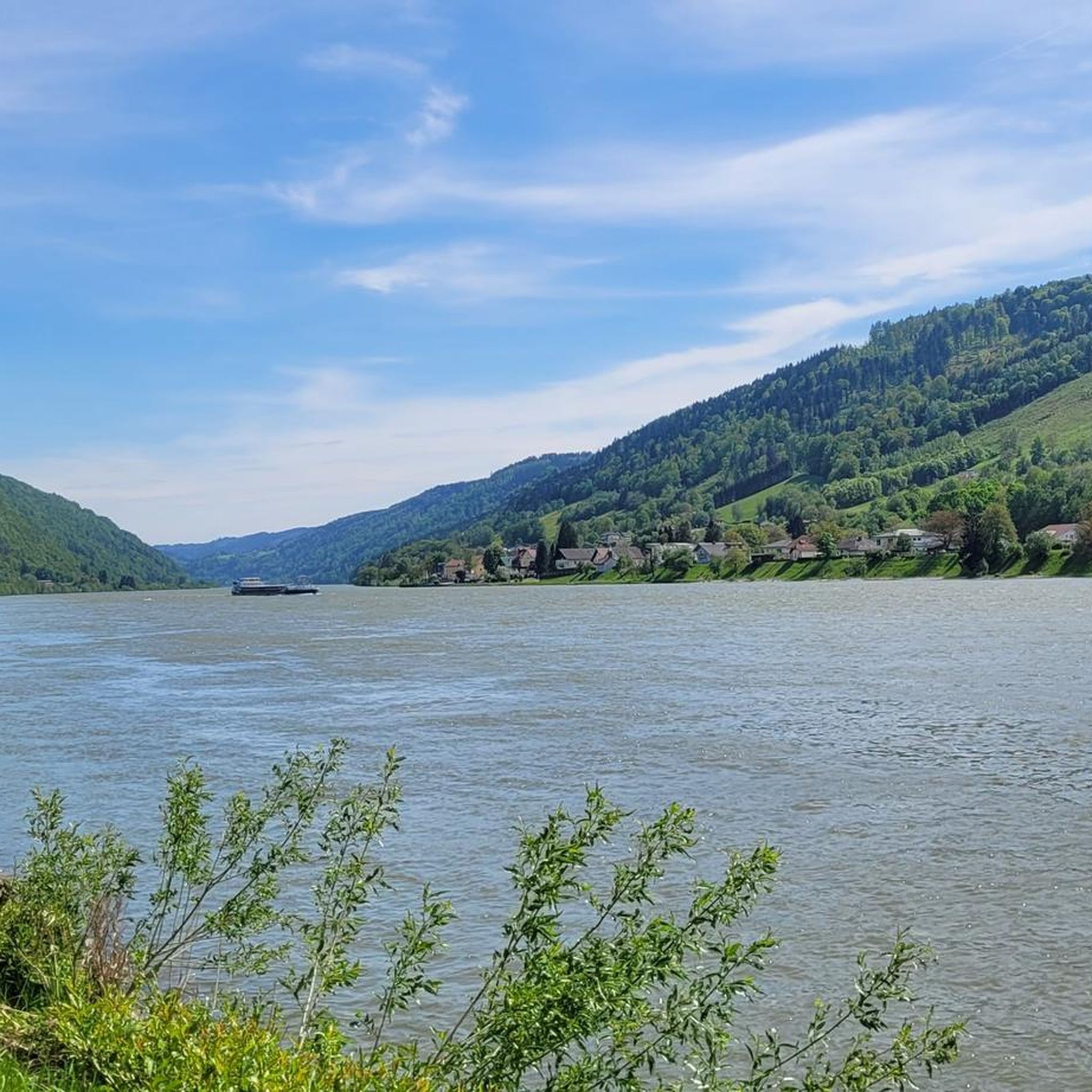
Hiking in Rannaleiten
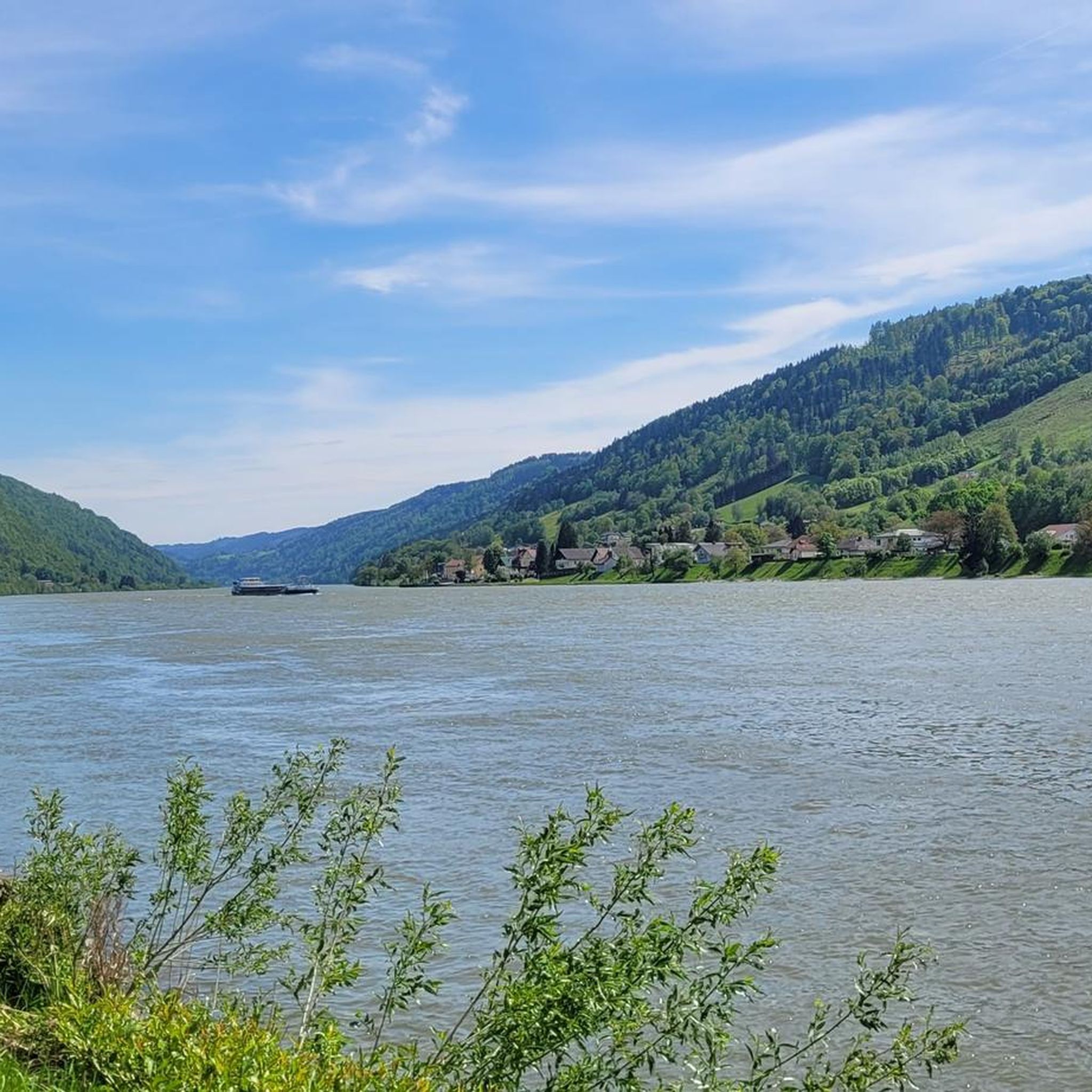
Road Cycling Routes in Rannaleiten
Running Trails in Rannaleiten
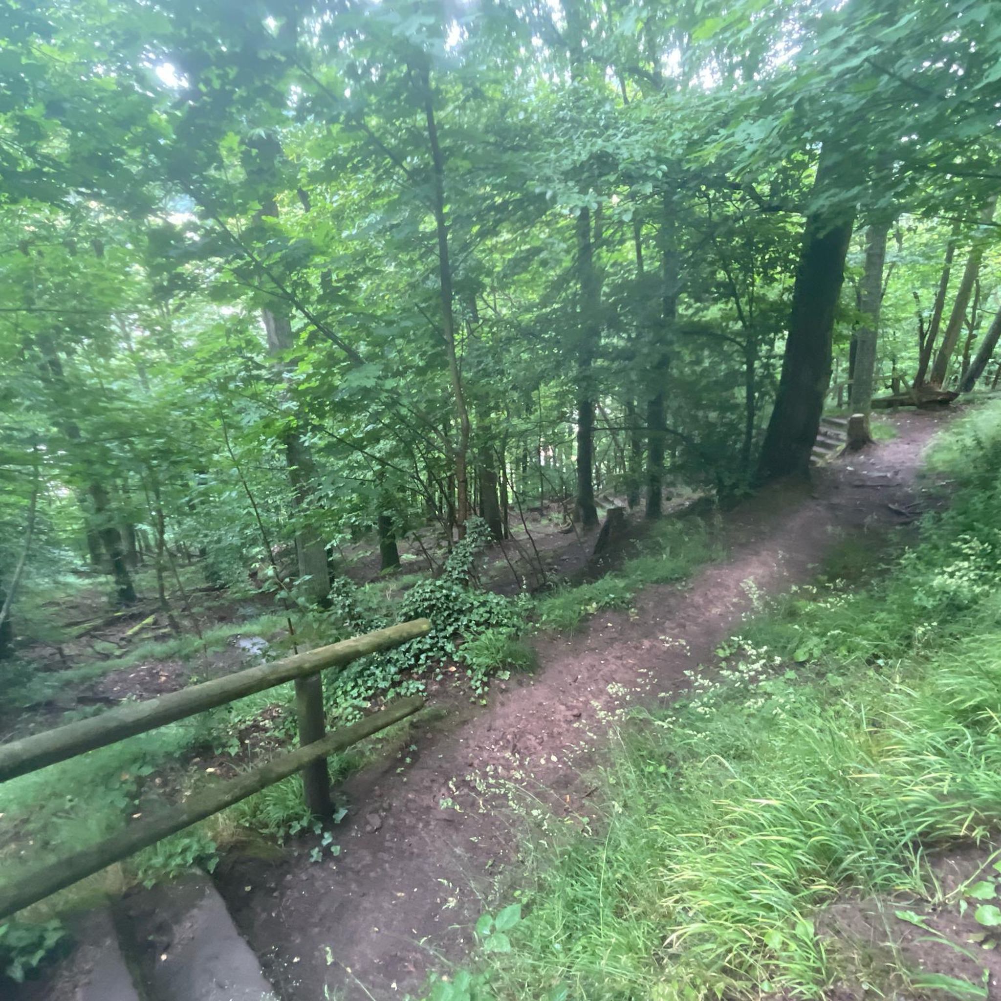
Mountain Hikes in Rannaleiten
Gravel biking in Rannaleiten
Other adventures in Rannaleiten


Tips from the Community

An ideal route along the Danube, also for runners.
0
0

Panoramic viewpoint in Pfarrkirchen im Mühlkreis.
0
0
The ferry ride costs 3 euros.
5
0
The trip costs 3 euros per person (including bicycle)
4
0
Just ring the bell and the ferry will set off.
4
0

From the path you have a very beautiful panorama
0
0
Frequently Asked Questions
How many mountain bike trails are there in Rannaleiten?
Rannaleiten offers a wide selection of mountain bike trails, with over 180 routes available for exploration. These trails cater to various skill levels, from easy riverside paths to more challenging ascents.
What is the general difficulty level of mountain bike trails in Rannaleiten?
The mountain bike trails in Rannaleiten offer a diverse range of difficulties. You'll find approximately 10 easy routes, 126 moderate routes, and 45 difficult routes, ensuring options for all experience levels. The terrain includes rolling hills, dense forests, and river valleys.
Are there any easy mountain bike trails suitable for beginners or families in Rannaleiten?
Yes, Rannaleiten has several easy mountain bike trails perfect for beginners or families. A good option is the View of the Danube – Engelhartszell Bicycle Ferry loop from Niederranna, which is 12.3 miles (19.8 km) long and leads through the Danube river valley with minimal elevation gain.
What kind of views and landmarks can I expect along the mountain bike trails in Rannaleiten?
Mountain bike trails in Rannaleiten often feature scenic views of the Ranna River and the Danube. You can also encounter historical points of interest. Notable landmarks and attractions include the Ranna Reservoir Dam, Falkenstein Castle Ruins, and the Water Pipeline Trail.
Are there any circular mountain bike routes in Rannaleiten?
Yes, many mountain bike routes in Rannaleiten are designed as loops, allowing you to start and end at the same point. For example, the popular View of the Ranna River – Eidenberger Lusen Summit loop from Hochhaus is a 23.5-mile (37.8 km) circular trail offering river views and a summit climb.
What do other mountain bikers enjoy most about Rannaleiten?
The mountain bike routes in Rannaleiten are highly rated by the komoot community, with an average score of 4.5 stars from over 700 reviews. Riders often praise the diverse terrain, combining dense forests, river valleys, and rolling hills, as well as the mix of challenging climbs and gentle riverside paths.
Are there any challenging mountain bike routes for experienced riders in Rannaleiten?
Experienced riders will find several challenging routes in Rannaleiten. A difficult option is the View of the Danube – Bachhäuslbrückl Bridge loop from Schloss Rannariedl, a 22.7-mile (36.5 km) path featuring significant elevation changes and views of the Danube.
Can I bring my dog on the mountain bike trails in Rannaleiten?
While many trails in Rannaleiten are suitable for mountain biking, it's always recommended to check local regulations and trail signage regarding dogs. Generally, dogs are welcome on many natural trails, but they should be kept on a leash, especially in protected areas or near wildlife.
What is the best time of year to go mountain biking in Rannaleiten?
The best time for mountain biking in Rannaleiten is typically from spring through autumn, when the weather is milder and trails are dry. Summer offers longer daylight hours, but spring and autumn provide pleasant temperatures and beautiful scenery, especially with changing foliage.
Are there any mountain bike routes that pass by castles or historical sites?
Yes, some routes in Rannaleiten incorporate historical sites. For instance, the View of the Danube – Bachhäuslbrückl Bridge loop from Schloss Rannariedl passes by Schloss Rannariedl. You can also find the Falkenstein Castle Ruins as a point of interest near some trails.
Are there any routes that involve a ferry crossing?
Yes, some unique mountain bike experiences in Rannaleiten include ferry crossings. The Marsbach Castle – Au–Schlögen Bike Ferry loop from Niederranna is a 30.7-mile (49.4 km) route that incorporates a bike ferry, offering a different perspective of the landscape.
What is the longest mountain bike trail available in Rannaleiten?
One of the longer mountain bike trails in Rannaleiten is the Marsbach Castle – Au–Schlögen Bike Ferry loop from Niederranna, which spans 30.7 miles (49.4 km) and includes a significant elevation gain, making it a substantial ride for those seeking distance.
Most popular routes in Rannaleiten
Most popular attractions in Rannaleiten

Get inspired with the komoot mobile app


Explore more
Browse the best MTB trails in other regions.
