The 6 Most Amazing Peaks around Kommunanz Reckingen-Gluringen/Grafschaft
Best mountain peaks around Kommunanz Reckingen-Gluringen/Grafschaft are found in the Goms region of Valais, Switzerland, an area known for its alpine environment. This location offers a range of mountain experiences, from prominent summits to extensive hiking routes. The landscape features traditional Valais architecture and diverse natural backdrops, providing a starting point for mountain explorations. The region is characterized by its mountainous terrain and an extensive network of trails.
Best mountain peaks around Kommunanz Reckingen-Gluringen/Grafschaft
- The most popular mountain peaks is…
Last updated: July 1, 2026
Brudelhorn Summit
Highlight • Summit
Translated by Google •
Tip by

Fieschertal Village Square
Highlight • Settlement
Translated by Google •
Tip by

Sign up now to discover places like this
Get recommendations on the best single tracks, peaks, & plenty of other exciting outdoor places.
Sign up for free
Bellwald - Goms High Trail
Highlight • Trail
Translated by Google •
Tip by

Cross connection at Galmihorn
Highlight • Trail
Showing Translation
Tip by

Risihorn Summit
Highlight • Summit
Translated by Google •
Tip by
Sign up for free to discover even more peaks around Kommunanz Reckingen-Gluringen/Grafschaft.
Sign up for free
Already have an account?
Start today with a free account
Your next adventure awaits.
Login or Signup
Popular around Kommunanz Reckingen-Gluringen/Grafschaft
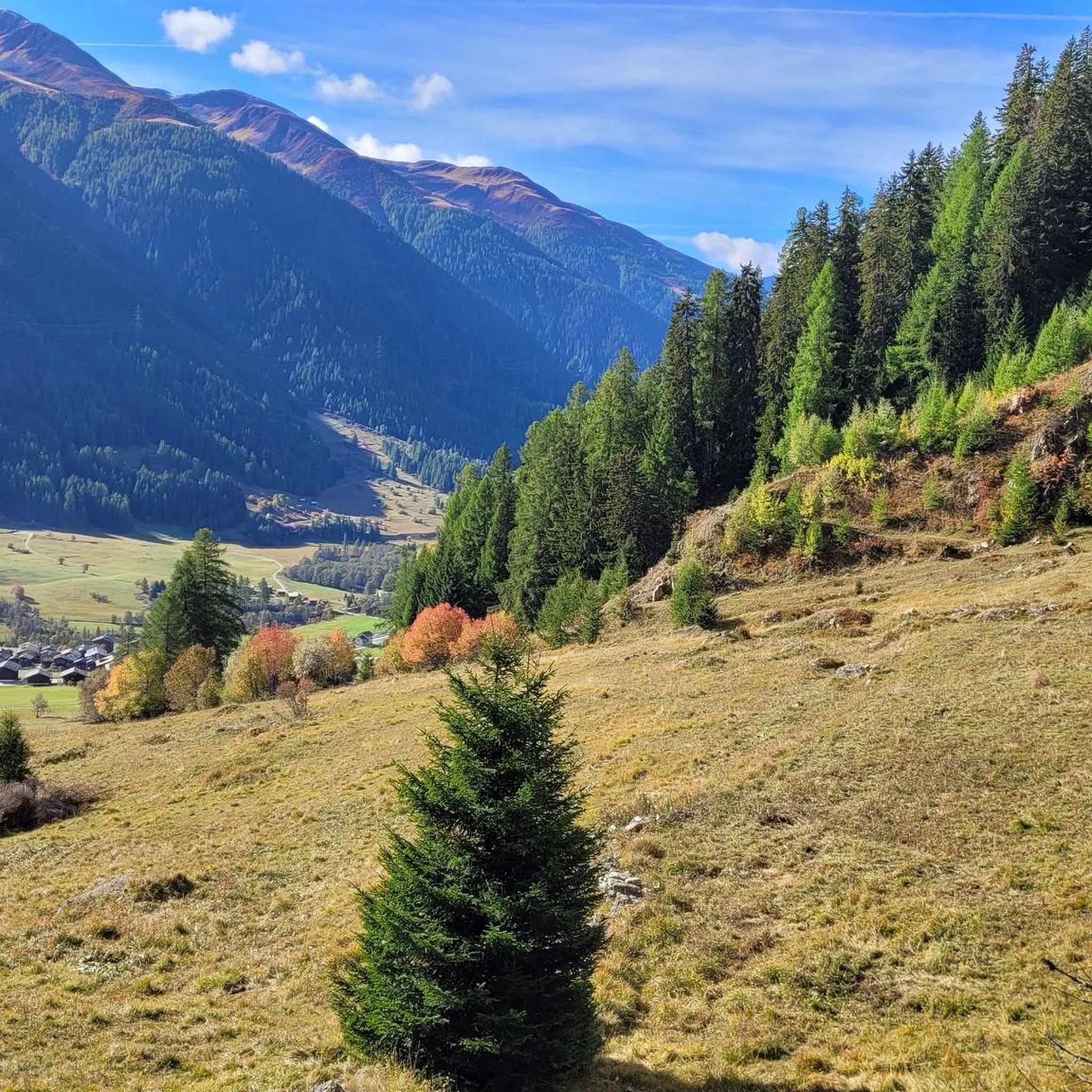
MTB Trails around Kommunanz Reckingen-Gluringen/Grafschaft
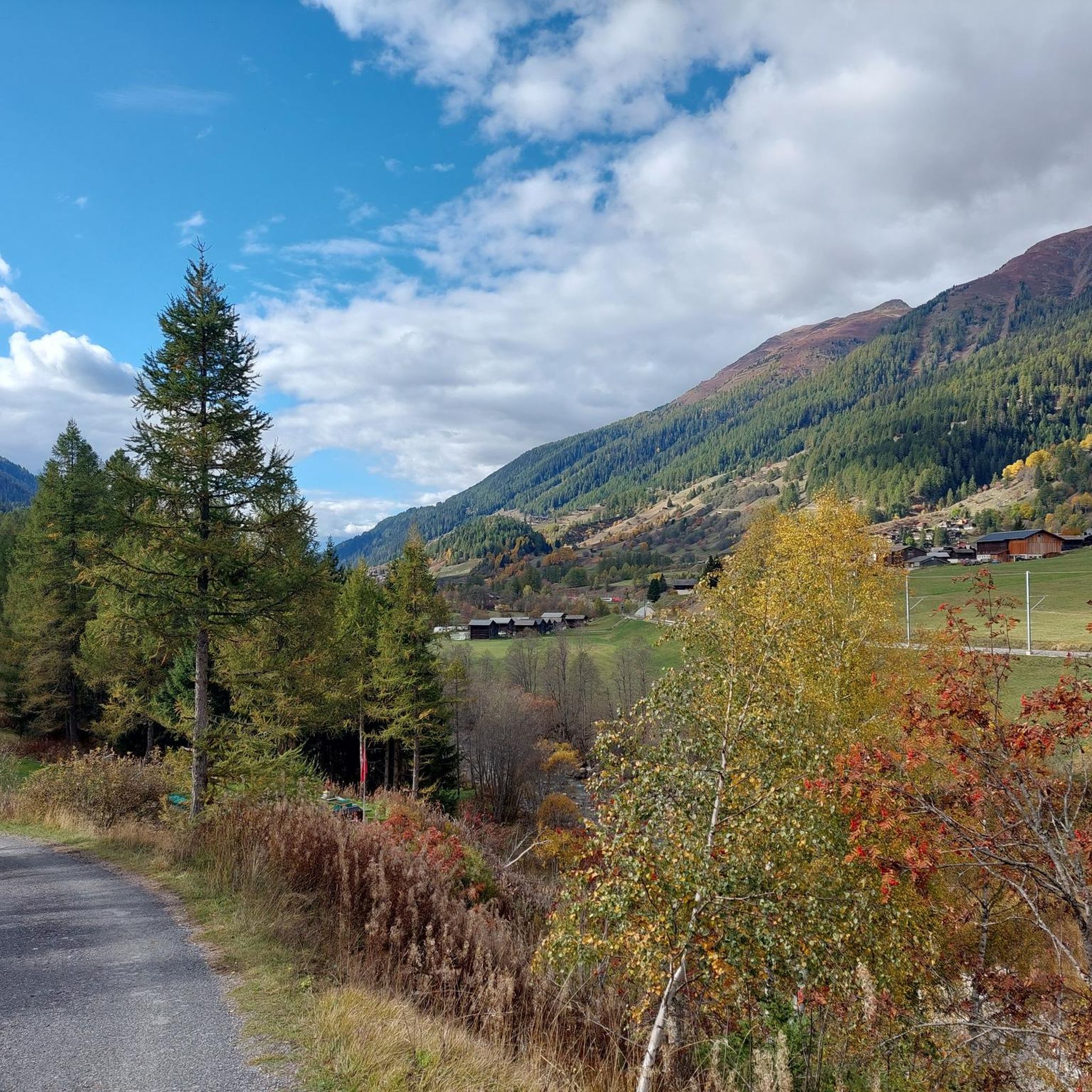
Road Cycling Routes around Kommunanz Reckingen-Gluringen/Grafschaft
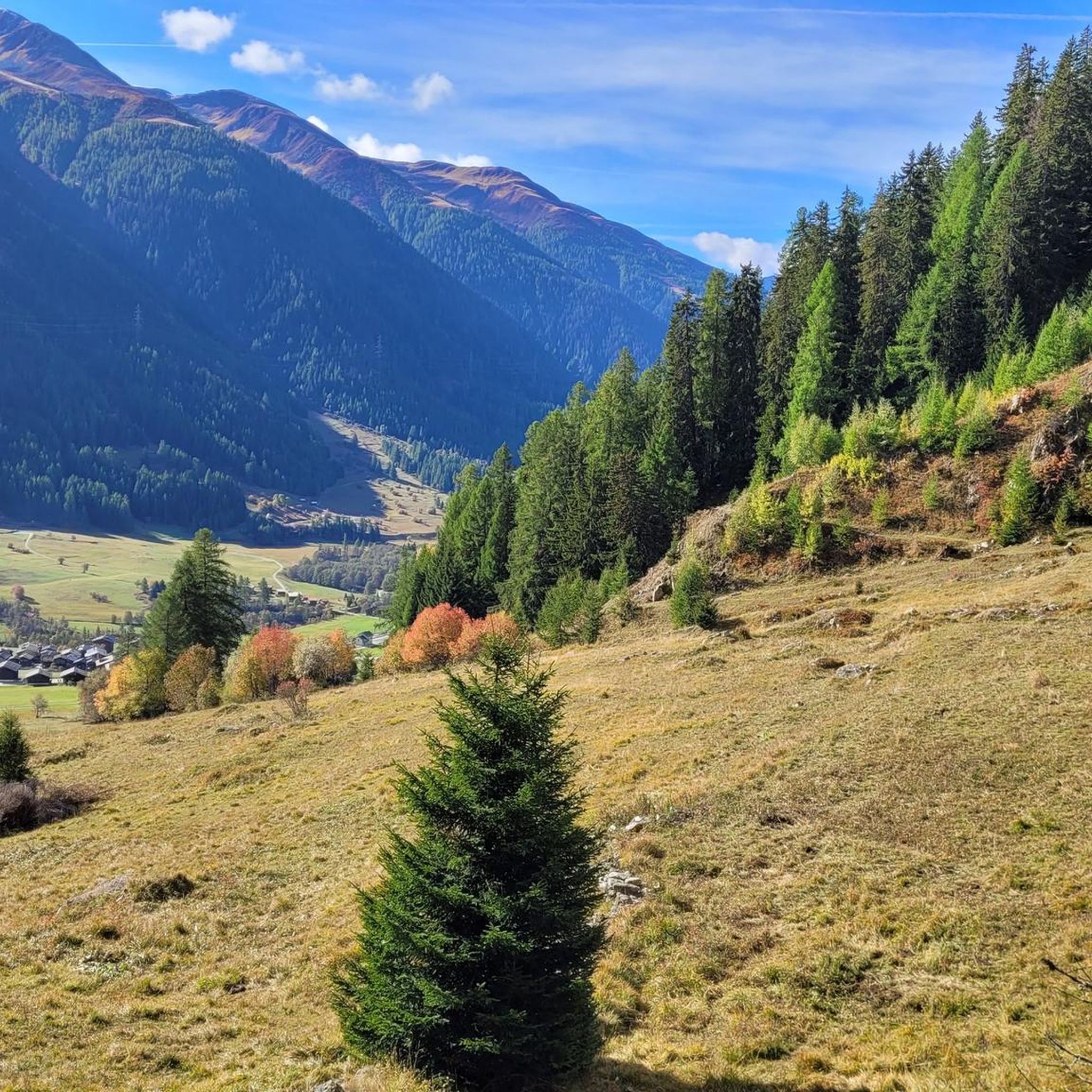
Cycling around Kommunanz Reckingen-Gluringen/Grafschaft
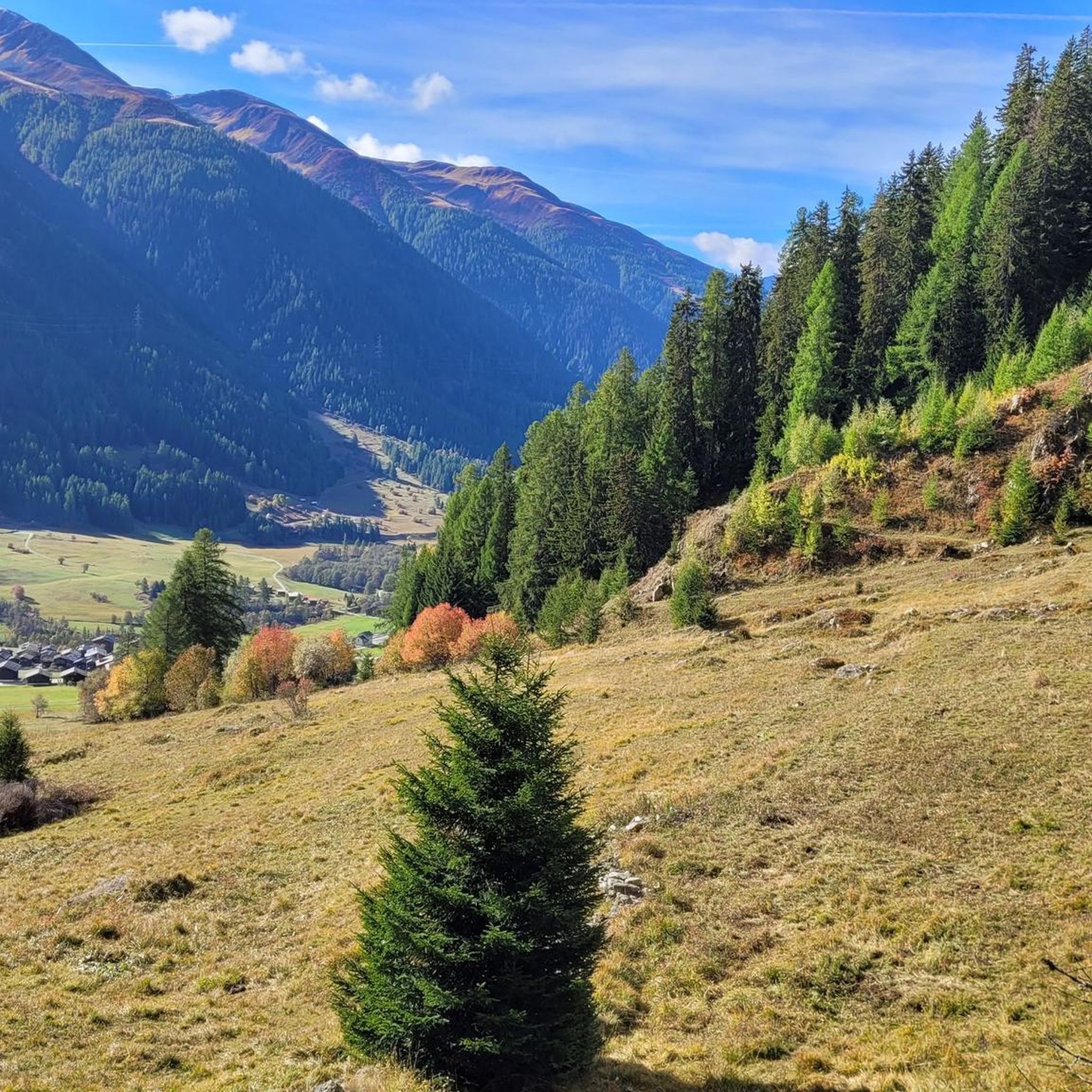
Hiking around Kommunanz Reckingen-Gluringen/Grafschaft
Running Trails around Kommunanz Reckingen-Gluringen/Grafschaft

Gravel biking around Kommunanz Reckingen-Gluringen/Grafschaft
Mountain Hikes around Kommunanz Reckingen-Gluringen/Grafschaft
Tips from the Community

After the steep ascent on the serpentine path at Bächital, the trail branches off here and crosses towards the Galmihornhütte. After the gravel path, the ground changes to a narrow natural trail, marked white-red-white. On the mountain hiking trail, you ride through a stony, alpine scenery and can admire the view into the Obergoms on easier sections.
1
0

From here there are beautiful mountain hiking trails up to the Märjelensee, the Burghütte or the Aspi-Titter Bridge.
2
0

The post bus line to Fiesch starts at the village square, which will be redesigned in 2023
2
0
A worthwhile destination given the view.
2
0
Once you've made it here, you'll have a fantastic view over the Fiescher Glacier to the imposing Finsteraarhorn.
2
0
Unfortunately no summit book at the cross.
2
0

Frequently Asked Questions
What are some of the most popular mountain peaks to visit in Kommunanz Reckingen-Gluringen/Grafschaft?
Visitors frequently enjoy the Risihorn Summit for its views of the Finsteraarhorn and Fiescher glacier. Another popular choice is the Brudelhorn Summit, which offers extensive perspectives of the Goms valley.
Which mountain peaks offer the most challenging climbs and panoramic views?
For a challenging ascent with breathtaking views, consider the Blinnenhorn / Corno Cieco Summit. From its peak, you can see some of the highest Swiss Alps, including Monte Bianco, Schreckhorn, and Finsteraarhorn. The Vorderes Galmihorn (3,507 m) also provides an extensive 360-degree panorama, showcasing iconic peaks like the Finsteraarhorn and even distant Mont Blanc, though its summer routes can be challenging.
Are there any mountain huts or bases for longer tours in the area?
Yes, the Galmihorn Hut, located at 2,113 meters, serves as an excellent base for day hikes and an overnight stop for longer tours. From the hut, you can enjoy expansive views over the entire Goms valley and the surrounding mountain landscape.
What kind of hiking routes lead to the Galmihorn Hut from Reckingen?
Several well-marked hiking routes lead from Reckingen to the Galmihorn Hut. Options include the 'Judestafel' Route, a pleasant ascent through alpine pastures and larch forests, or the 'Altstafel' Route, which offers excellent views. For a longer and wilder option, the 'Bächital' Route leads through the scenic Bächi Valley.
What is the best time of year to hike the mountain peaks in this region?
The summer months are generally ideal for hiking the mountain peaks, offering diverse mountain summer activities and an extensive network of hiking trails. Some peaks, like Vorderes Galmihorn, are more commonly undertaken as ski tours in winter, with summer routes involving challenging sections.
Are there any family-friendly activities or trails near the mountain peaks?
While many summits are challenging, the broader area around Reckingen-Gluringen offers experiences like the Adventure Trail Reckingen-Gluringen. This circular interpretive trail allows visitors to discover local natural and cultural heritage with interactive posts, making it suitable for families.
What kind of natural features can I expect to see while exploring the mountain peaks?
You can expect to see stunning alpine landscapes, including glaciers like the Fiescher Glacier from Risihorn Summit, vast alpine meadows, and sparse larch forests. The region is characterized by its mountainous terrain and diverse natural backdrops.
What outdoor activities can I do near the mountain peaks in Kommunanz Reckingen-Gluringen/Grafschaft?
Beyond summiting peaks, you can explore various hiking and running trails. For hiking, consider routes like the 'Gommer forest trail Reckingen to Niederwald' or the challenging 'View of Wiler Above Reckingen – Galmihorn Hut loop from Reckingen'. For running, there are options like 'Start of Swiss Alps 100 loop from Reckingen'. You can find more details on these activities in the hiking guide, mountain hikes guide, and running trails guide.
Are there any circular mountain walks available in the Grafschaft area?
Yes, there are several circular routes. A notable challenging option is the 'View of Wiler Above Reckingen – Galmihorn Hut loop from Reckingen', covering 16.0 km with significant elevation gain. The Adventure Trail Reckingen-Gluringen is also a circular interpretive trail.
What facilities are available near the mountain trails, such as cafes or places to rest?
The Galmihorn Hut offers a place to rest and serves as a base for tours. Additionally, the Fieschertal Village Square provides modern facilities, including restaurants, cafes, and a bus stop, making it a convenient spot before or after your mountain adventures.
How accessible are the mountain trails by public transport?
The Goms region is well-served by the Matterhorn Gotthard Bahn, which stops at various towns, making many trails accessible within 20-30 minutes from the villages. This allows for varied tours and convenient access to the trailheads.
What do visitors particularly enjoy about the mountain peaks and trails in Kommunanz Reckingen-Gluringen/Grafschaft?
Visitors consistently praise the tremendous and fantastic views from the summits, with many highlighting the panoramic vistas of the Swiss Alps, including the Finsteraarhorn and Fiescher glacier. The well-developed trails and the diverse landscape with meadows and forests also receive positive feedback.
Most popular routes around Kommunanz Reckingen-Gluringen/Grafschaft
Most popular attractions around Kommunanz Reckingen-Gluringen/Grafschaft

Get inspired with the komoot mobile app


Explore more
See even more amazing summits around Kommunanz Reckingen-Gluringen/Grafschaft with these guides:
