The best mountain hikes around Kommunanz Reckingen-Gluringen/Grafschaft
4.8
(4)
31
hikers
3
hikes
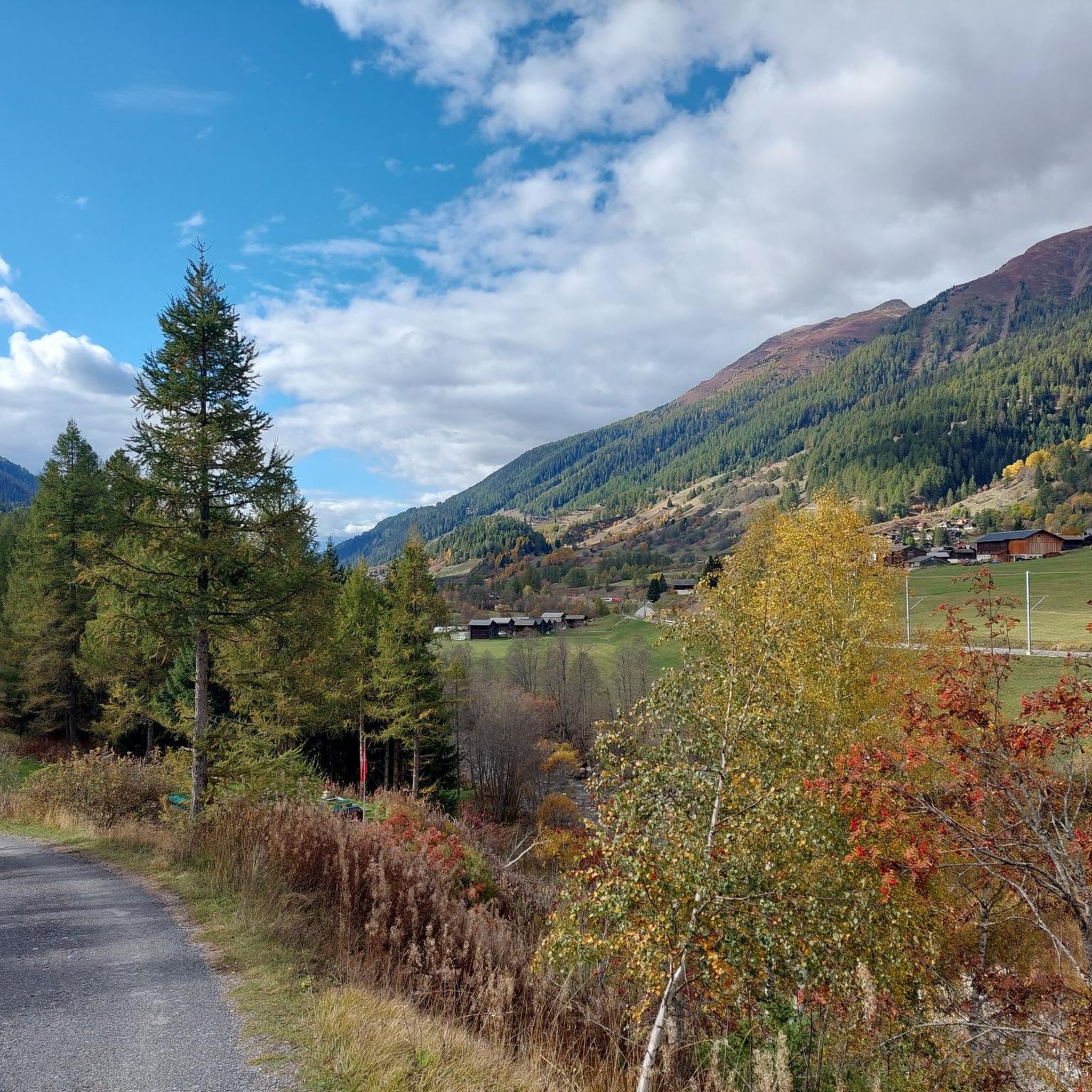
Mountaineering around Kommunanz Reckingen-Gluringen/Grafschaft is characterized by its high alpine glaciers, majestic four-thousand-meter peaks, and serene alpine meadows within the Goms Valley. The region features significant natural landmarks such as the Rhône Glacier and offers panoramic views of the Aletsch Glacier from various summits. Its diverse terrain includes ancient larch forests and lush valley floors, providing a varied landscape for alpine pursuits.
Best mountaineering routes around Kommunanz Reckingen-Gluringen/Grafschaft
- The most popular mountaineering route is Eggishorn Summit Cross – Märjelensee loop…
Last updated: June 27, 2026
5
hikers
13.0km
06:14
830m
830m
Hard mountaineering route. Very good fitness required. Sure-footedness, sturdy shoes and alpine experience required.
4.8
(4)
11
hikers
Hard mountaineering route. Good fitness required. Sure-footedness, sturdy shoes and alpine experience required.

Sign up for free
9
hikers
8.60km
03:51
630m
630m
Hard mountaineering route. Good fitness required. Sure-footedness, sturdy shoes and alpine experience required.
6
hikers
8.45km
03:42
590m
590m
Hard mountaineering route. Good fitness required. Sure-footedness, sturdy shoes and alpine experience required.
Our route recommendations are based on thousands of hikes, rides, and runs completed by other people on komoot.
Start today with a free account
Your next adventure awaits.
Login or Signup
Popular around Kommunanz Reckingen-Gluringen/Grafschaft
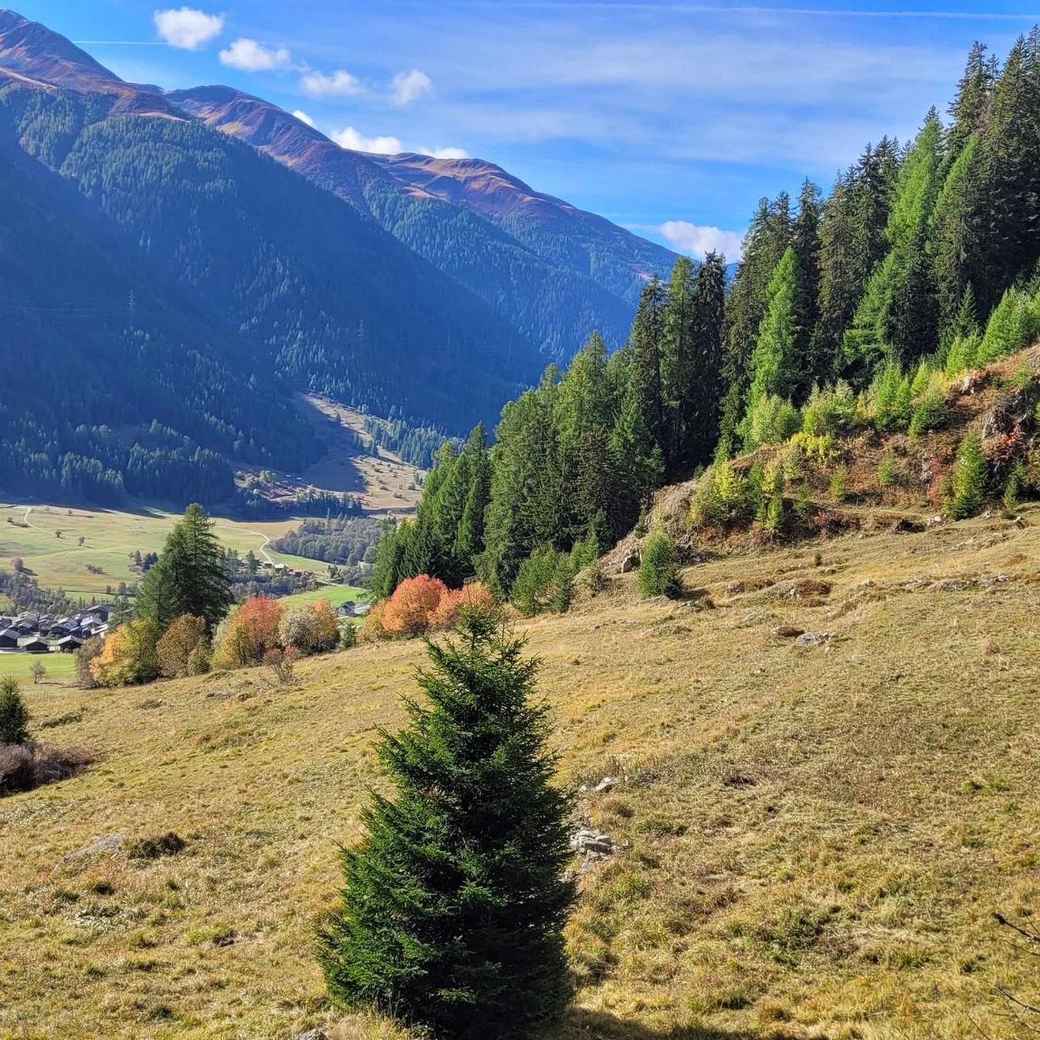
MTB Trails around Kommunanz Reckingen-Gluringen/Grafschaft
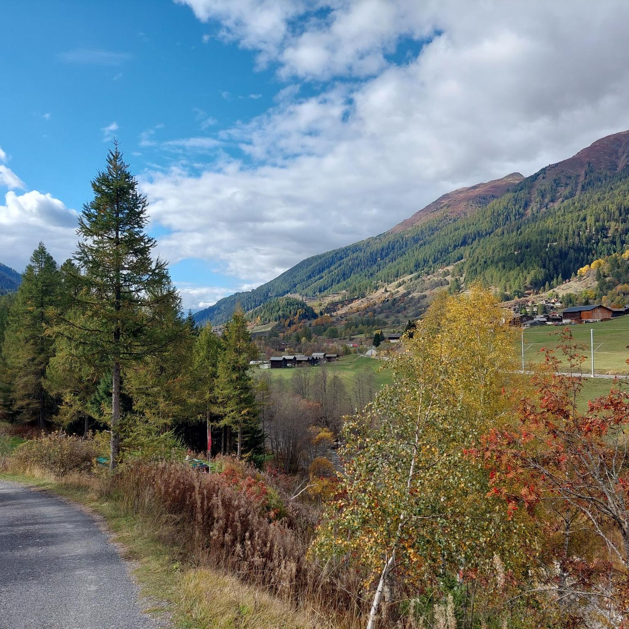
Road Cycling Routes around Kommunanz Reckingen-Gluringen/Grafschaft
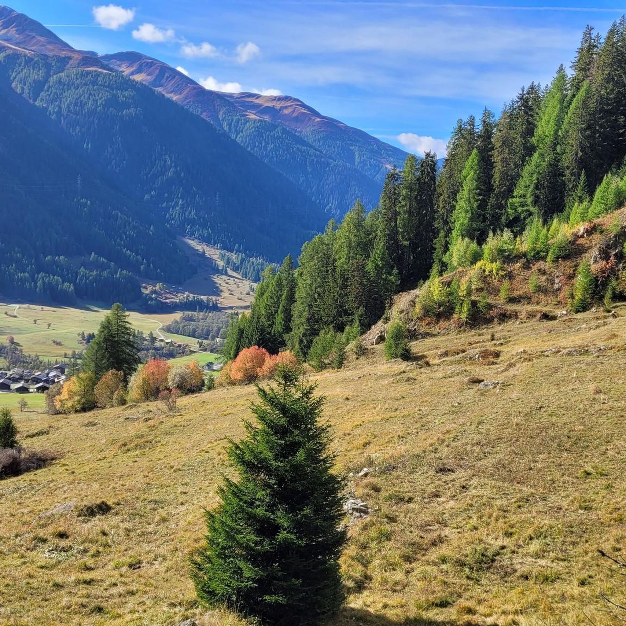
Cycling around Kommunanz Reckingen-Gluringen/Grafschaft
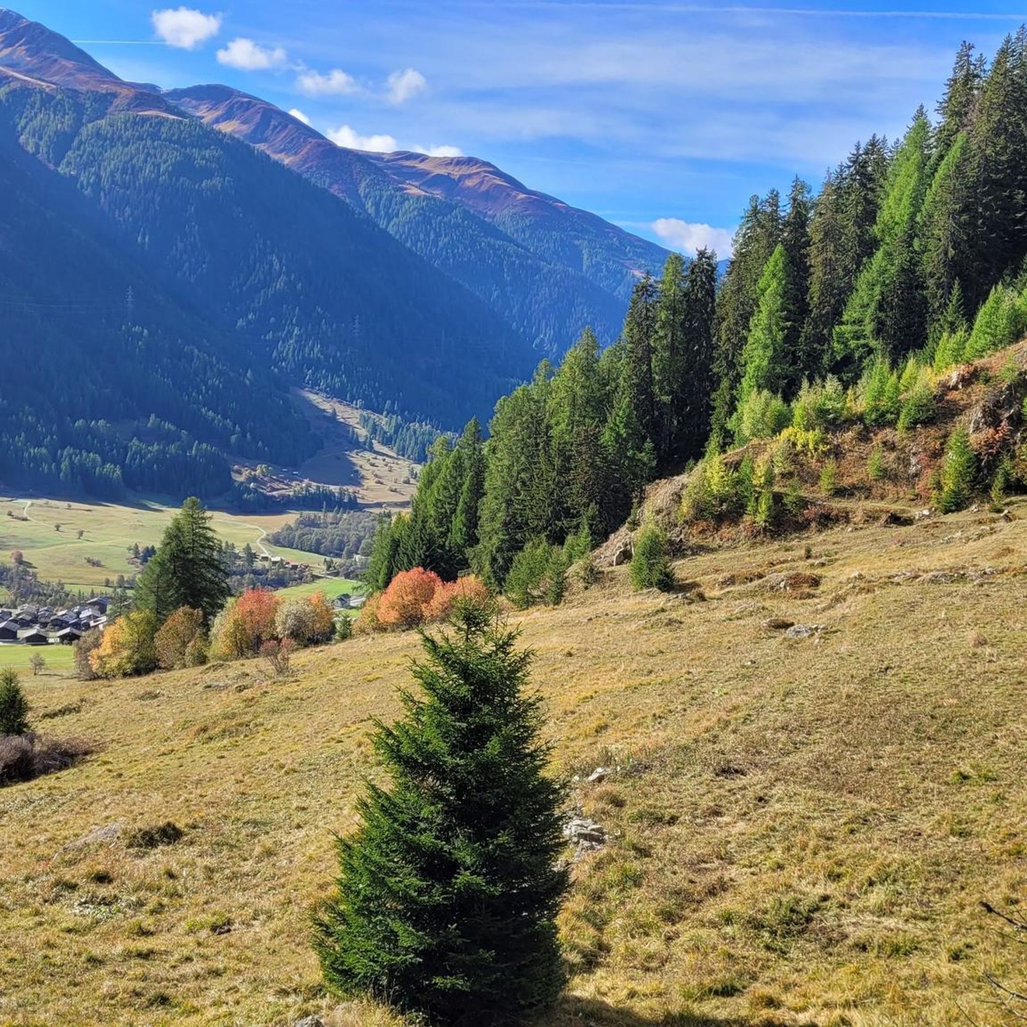
Hiking around Kommunanz Reckingen-Gluringen/Grafschaft
Running Trails around Kommunanz Reckingen-Gluringen/Grafschaft

Gravel biking around Kommunanz Reckingen-Gluringen/Grafschaft
Tips from the Community


The road north around Fiescherhörli is currently closed, so you have to take the more difficult route over Hörli. Surefootedness and a head for heights are essential.
0
1
The road around Fiescherhörli is currently closed, so you have to take the more difficult route via Hörli. Surefootedness and a head for heights are essential.
1
0

Great summit, alpine hike not to be underestimated!
1
0

Great location for rest and overnight stays
0
0

Accessible from the Gletscherstube, from Bellwald via the Aspi-Titer Bridge, or from Fieschertal. The nearby castle hut is ideal for a rest or overnight stay.
1
0
Wonderfully exposed ridge path with fantastic views
1
0

very pretty here, very pretty
1
1
Frequently Asked Questions
How many mountaineering routes are available around Kommunanz Reckingen-Gluringen/Grafschaft?
Komoot features several mountaineering routes in the Kommunanz Reckingen-Gluringen/Grafschaft area, offering a range of experiences from moderate ascents to challenging alpine tours. The Goms district, where Reckingen-Gluringen is located, boasts an extensive network of over 700 kilometers of hiking trails, many of which can be adapted for mountaineering.
What kind of terrain can I expect on mountaineering routes in this region?
The terrain around Kommunanz Reckingen-Gluringen/Grafschaft is incredibly diverse, characterized by high alpine glaciers, majestic four-thousand-meter peaks, serene alpine meadows, ancient larch forests, and lush valley floors within the Goms Valley. You'll encounter significant elevation changes and varied surfaces, from rocky paths to grassy slopes.
Are there any easy mountaineering routes suitable for beginners?
While many routes in the region are challenging, there are options that can serve as an introduction to mountaineering. For instance, the Titter Picnic Area – Aspi-Titter Suspension Bridge loop from Fieschertal is rated as moderate and offers a good balance of challenge and accessibility, including a suspension bridge crossing and views of the alpine landscape.
What are some of the most challenging mountaineering routes in the area?
For experienced mountaineers seeking a significant challenge, routes like the Stahlen Chapel loop from Reckingen offer substantial elevation gain and are rated as difficult, typically taking over 7 hours to complete. The broader Valais canton is renowned for demanding alpine tours, some requiring ice axes and crampons, such as the Heiligkreuz - Ritterpass - Alpe Veglia route mentioned in regional research.
What natural landmarks or scenic viewpoints can I expect to see on these routes?
The region offers breathtaking views of iconic natural landmarks. Many routes provide panoramic vistas of the Aletsch Glacier, a UNESCO World Heritage site. You can also expect to see the Rhône Glacier, the source of the Rhône River, and from various summits, the impressive Bernese and Valais four-thousanders, including peaks like Dom, Matterhorn, and Weißhorn. The Märjelensee is another stunning natural feature you might encounter.
Are there any circular mountaineering routes available?
Yes, several routes are designed as loops, allowing you to start and end at the same point. An example is the Eggishorn Summit Cross – Märjelensee loop from Eggishorn, which is a difficult 13 km route offering views of the Aletsch Glacier.
What is the best time of year for mountaineering in Kommunanz Reckingen-Gluringen/Grafschaft?
The best time for mountaineering typically spans from late spring to early autumn (June to September) when trails are generally clear of snow and weather conditions are more stable. However, the high alpine environment means conditions can change rapidly, so always check local forecasts. Winter offers opportunities for snowshoeing and ski touring, but requires specialized equipment and expertise.
Are there mountain huts or places to rest along the mountaineering routes?
Yes, the region has several mountain huts that provide refreshments and overnight stays. Notable options include Gletscherstube Märjelen, Galmihorn Hut, and Burghütte. These can be excellent points for a break or to extend your tour.
What do other mountaineers say about the routes in Kommunanz Reckingen-Gluringen/Grafschaft?
The mountaineering routes in Kommunanz Reckingen-Gluringen/Grafschaft are highly rated by the komoot community, with an average score of 4.75 stars from over 4 reviews. Visitors often praise the stunning high alpine scenery, the challenging yet rewarding ascents, and the diverse landscapes that include glaciers, peaks, and alpine meadows.
Is public transport available to access mountaineering trailheads in the Goms Valley?
The Goms Valley, where Kommunanz Reckingen-Gluringen/Grafschaft is situated, is well-served by public transport, including the Matterhorn Gotthard Bahn. This makes it possible to reach many trailheads without a car. It's advisable to check local timetables for specific routes and starting points.
Are there any specific permits required for mountaineering in the Valais canton?
Generally, permits are not required for standard hiking and mountaineering routes in the Valais canton. However, for certain protected areas, specific high-alpine tours, or if you plan to access private land, it's always best to check with local tourist information or the relevant authorities for any specific regulations or permits that might apply to your chosen route.
Can I bring my dog on mountaineering trails in this region?
Many trails in the Goms Valley are dog-friendly, but regulations can vary, especially in protected areas or on routes that pass through pastures with livestock. It's always recommended to keep dogs on a leash, especially in alpine environments, and to ensure they are well-behaved and physically capable of handling the terrain and duration of the mountaineering route. Always carry enough water for your dog.
Most popular routes around Kommunanz Reckingen-Gluringen/Grafschaft
Most popular attractions around Kommunanz Reckingen-Gluringen/Grafschaft

Get inspired with the komoot mobile app


Explore more
Browse the best Mountain Hikes & Routes in other regions.
