4.8
(366)
6,878
hikers
163
hikes
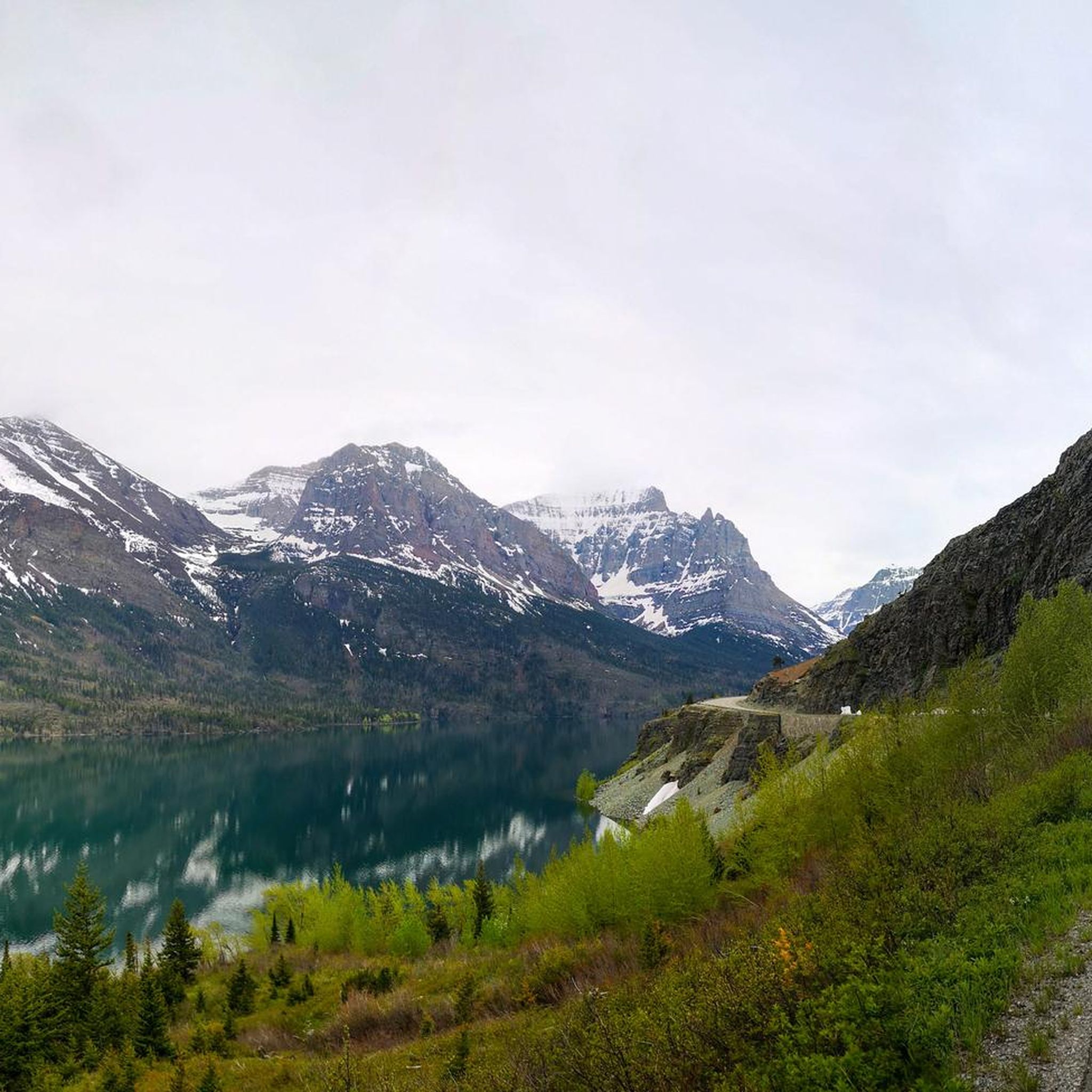
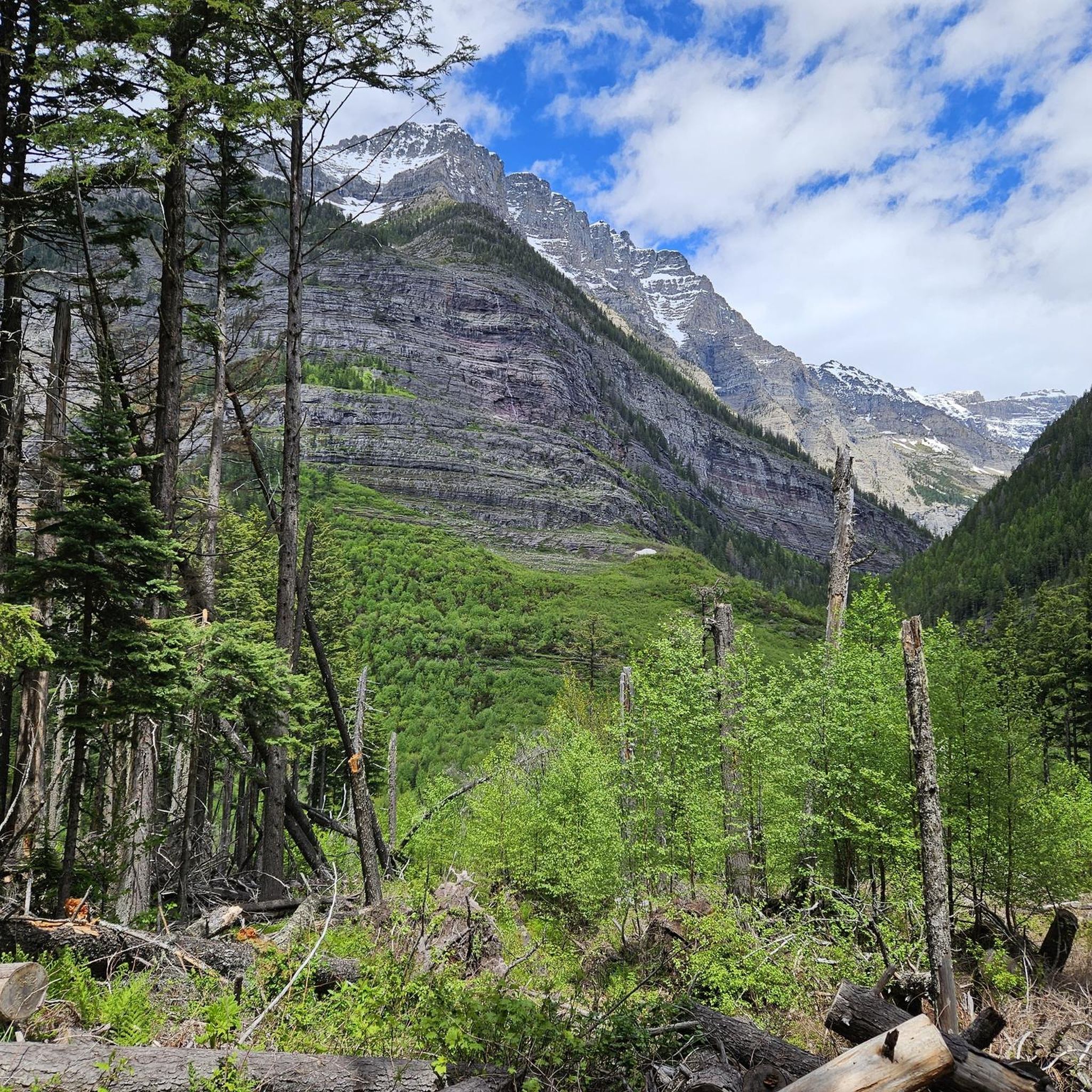
Hiking in the Lewis Range traverses a landscape of dramatic peaks and alpine meadows within the Rocky Mountains. The region is defined by its glacial features, including cirques, arêtes, and numerous clear lakes. Extensive glaciation has sculpted the topography, creating distinctive mountain structures and waterfalls dropping from hanging valleys. Dense forests of lodgepole pines, spruces, and cedars cover the steep western slopes, while alpine meadows feature flowering heathers and glacier lilies.
Last updated: June 28, 2026
4.8
(28)
748
hikers
4.52km
01:22
160m
160m
Embark on the easy Hidden Lake Overlook Trail, a 2.8 miles (4.5 km) hike that takes about 1 hour and 22 minutes to complete. You will gain 509 feet (155 metres) in elevation as you traverse subalpine meadows, often called "Hanging Gardens," which burst with seasonal wildflowers. The route offers continuous, sweeping views of majestic peaks like Clements Mountain and Reynolds Mountain before you reach the spectacular Hidden Lake Lookout, where the shimmering Hidden Lake lies nestled below Bearhat Mountain.
Planning your visit requires some foresight, as parking at Logan Pass can be challenging, especially during peak season. Be ready for varied weather conditions, including sun, wind, and rain, since the trail is entirely exposed. Snow can persist well into summer, making parts of the path slippery, so always check current conditions before you head out.
This popular trail in Glacier National Park is renowned for its accessible beauty and the unique ecosystem of its subalpine meadows. The journey to the Hidden Lake Lookout provides a memorable experience, showcasing the dramatic landscape and diverse flora of the region. It's a fantastic way to immerse yourself in the park's natural splendor and enjoy panoramic vistas.
4.9
(42)
769
hikers
9.36km
02:36
170m
170m
Embark on the Avalanche Lake Trail for a moderate hike that takes you through diverse landscapes in Glacier National Park. This route covers 5.8 miles (9.4 km) with an elevation gain of 567 feet (173 metres), typically completed in about 2 hours and 35 minutes. You will begin by winding through the ancient cedars and hemlocks of the Trail of the Cedars, experiencing a rainforest-like atmosphere before following the vibrant, turquoise waters of Avalanche Creek as it carves through a narrow gorge.
Planning your visit requires some foresight, especially during peak season when the trail is very popular. Parking can be challenging, so arriving early in the day is highly recommended to secure a spot. Alternatively, you can consider utilizing the park's shuttle service, which offers a convenient way to access the trailhead without the stress of finding parking. This preparation will help ensure a smoother and more enjoyable hiking experience.
The highlight of this journey is Avalanche Lake itself, a truly picturesque alpine lake nestled among towering cliffs and mountains, including the prominent Bearhat Mountain. You might even spot cascading waterfalls fed by snowmelt, adding to the dramatic scenery. The unique ecosystem, transitioning from dense, old-growth forest to an alpine lake environment, makes this trail a notable experience within the region.

Sign up for free
3.0
(2)
63
hikers
13.6km
04:04
440m
380m
Embark on the Highline Trail for a moderate hiking adventure through Glacier National Park's iconic landscapes. This route spans 8.4 miles (13.6 km) and involves a steady ascent of 1436 feet (438 metres), typically taking around 4 hours and 4 minutes to complete. You will traverse the famous Garden Wall, offering continuous dramatic mountain vistas often above 6,000 feet, with towering peaks like Mount Reynolds and Heaven's Peak dominating the skyline. Keep an eye out for vibrant wildflower-filled alpine meadows during the summer months, adding to the scenic beauty of your journey.
To make the most of your visit, plan to start your hike early in the morning, especially if you aim to secure parking at the popular Logan Pass trailhead. Much of the Highline Trail is situated above the treeline, meaning you will be exposed to both sun and wind, so prepare accordingly with appropriate gear. It is crucial to carry at least two liters of water per person, as opportunities to filter water along the route are limited, particularly later in the hiking season. Being prepared will ensure a more comfortable and enjoyable experience on this well-loved path.
The Highline Trail is celebrated as a classic Glacier National Park hiking experience, forming part of the larger Waterton-Glacier International Peace Park. One of its unique features early on is a narrow, exposed cliffside section, where a steel cable handrail provides assistance and adds to the adventure. This section leads to the Highline Trail Overlook, which offers expansive views that truly capture the grandeur of the surrounding wilderness. The trail's popularity stems from its accessibility and the consistently rewarding views it provides.
5.0
(7)
60
hikers
11.6km
03:05
130m
120m
Embark on a moderate hike along the Bullhead Lake via Swiftcurrent Pass Trail, a 7.2-mile (11.6 km) route that guides you through the scenic Swiftcurrent Valley. You will experience a gentle ascent, gaining 418 feet (127 metres) in elevation, which typically takes around 3 hours and 4 minutes to complete. The path winds past a series of picturesque lakes, offering tranquil waters and mountain backdrops. Keep an eye out for wildlife as you approach Fishercap Lake, and later, admire the cascades of Redrock Falls before reaching the serene Bullhead Lake, framed by peaks like Mount Wilbur. This trail provides a classic Glacier National Park experience without overly strenuous climbing.
To begin your hike, find the trailhead at the west end of the Swiftcurrent Motor Inn parking lot, situated within the Many Glacier area. Parking is available there, making access straightforward. It is highly recommended to carry bear spray, as bears are active in this region. Consider planning your visit for the autumn months, when the aspen trees transform into a vibrant golden display, adding another layer of beauty to the landscape. Always check park conditions before you go.
This trail is notable for its journey through the Swiftcurrent Valley, showcasing a chain of distinct lakes. You will pass Fishercap Lake, then Redrock Lake with Grinnell Mountain as its backdrop, and finally arrive at Bullhead Lake, which offers views of Mount Wilbur. The route provides an excellent opportunity to observe the diverse ecosystem of Glacier National Park, from its varied flora to the potential for wildlife sightings, making it a well-rounded outdoor adventure.
5.0
(1)
57
hikers
11.2km
03:26
550m
50m
Embark on the Grinnell Glacier Trail, a moderate hike spanning 6.9 miles (11.2 km) with an elevation gain of 1801 feet (549 metres), typically completed in about 3 hours and 25 minutes. As you ascend, you will witness the stunning transformation of the landscape, from lush alpine meadows bursting with wildflowers to rugged, towering peaks like Mount Grinnell. The route offers spectacular views of pristine glacial lakes, including the distinctive milky turquoise waters of Grinnell Lake. Keep an eye out for local wildlife, such as mountain goats, as you make your way towards the active glacier. This trail provides a true immersion into the heart of Glacier National Park's dramatic scenery.
Plan your visit between late June and September for the best conditions, as the trail is usually clear of snow during these months. Starting your hike early in the day is always a good idea to avoid crowds and secure parking. You can also opt to use boat shuttles across Swiftcurrent Lake and Lake Josephine; these can significantly shorten the overall hiking distance, making the journey to the glacier more accessible. Always check the park's official website for current trail conditions and any necessary permits before you go.
This trail is renowned for leading directly to an active glacier, a rare and impressive sight. The unique geological features along the path, including cascading waterfalls and vibrant alpine flora, highlight the dynamic natural processes at work in this region. The presence of towering peaks such as Mount Gould further emphasizes the dramatic glacial landscape. It is a prime example of the natural beauty and ecological significance found within Glacier National Park.
5.0
(5)
41
hikers
8.47km
02:29
380m
20m
Embark on the Iceberg Lake Trail, a moderate hike spanning 5.3 miles (8.5 km) with an elevation gain of 1234 feet (376 metres). You can expect to complete this route in about 2 hours and 29 minutes. As you hike, you will journey through varied landscapes, from peaceful old-growth forests to vibrant meadows bursting with wildflowers. The path offers expansive views of towering peaks like Mt. Grinnell and Mt. Wilbur. The ultimate reward is Iceberg Lake, a stunning turquoise alpine lake where icebergs often float even in summer, nestled beneath steep cliffs.
This trail is very popular, especially during the summer months, so plan to start early to secure parking and avoid crowds. Because you will be hiking in prime grizzly bear habitat, always carry bear spray and make noise as you go. Before your visit, remember to check for any seasonal considerations or permit requirements that might affect your trip. Always be prepared for changing weather conditions in the mountains.
Iceberg Lake Trail is a highlight within Glacier National Park, known for its unique geological features and abundant wildlife. The presence of floating icebergs well into the summer makes this destination particularly special. This area is also home to diverse ecosystems, from subalpine forests to alpine tundra, supporting a variety of plant and animal life. Keep an eye out for local fauna, but always maintain a safe distance.
5.0
(2)
34
hikers
51.6km
16:27
2,070m
1,920m
The Pitamakan - Dawson Loop is a difficult hike that covers 32.0 miles (51.6 km) and climbs 6783 feet (2067 metres) in elevation, typically requiring about 16 hours and 26 minutes to complete. You will traverse constantly changing landscapes, moving from lush forests to open meadows and rugged mountain terrain. The route takes you over Pitamakan Pass and Dawson Pass, providing expansive views of valleys, lakes, and distant glacial peaks. A memorable section is the three-mile ridgeline connecting the two passes, where you can look down on Oldman Lake and Pitamakan Lake.
Plan your trip for the Pitamakan - Dawson Loop between July and early September, as snowpack can make the passes impassable earlier in the season. Be ready for exposed and windy conditions, especially when you are high up on the passes. If you want to shorten the route, you can use a boat ferry across Two Medicine Lake, particularly if you hike counter-clockwise and take the ferry at the end of your journey.
This challenging loop is known as one of Glacier National Park's most spectacular day hikes, offering a diverse experience. As you hike, keep an eye out for wildlife such as bighorn sheep and mountain goats, which are often seen around the passes. The continuous vistas along the ridgeline make this trail a standout for its scenic beauty and demanding nature.
3.0
(2)
34
hikers
6.91km
02:37
750m
40m
Embark on the Granite Park Trail, a moderate 4.3-mile (6.9 km) hike that challenges you with a significant 2445 feet (745 metres) of elevation gain, typically taking around 2 hours and 37 minutes to complete. As you ascend, you will traverse areas recovering from the 2003 Trapper Creek Fire, where new growth mixes with the stark beauty of standing dead trees. The path steadily climbs, eventually opening up to grand vistas of the surrounding peaks, including the prominent 8,987-foot Heavens Peak. Your journey culminates at the historic Granite Park Chalet, a stone lodge nestled high in the mountains.
This route is considered moderate, but its substantial uphill nature and exposed sections mean you should prepare accordingly. Always carry ample water, especially if you plan to hike during warmer months, and consider an early start to beat the heat and crowds. The Granite Park Chalet serves as a natural turnaround point for day hikers, but if you wish to stay overnight, be aware that reservations are essential and often book up well in advance. Before heading out, always check current trail conditions and any specific park regulations.
The Granite Park Chalet, your destination, is more than just a stopping point; it is a National Historic Landmark that has stood for over a century. This historic lodge offers a unique glimpse into the park's past and provides a memorable reward for your efforts. The trail itself offers a diverse range of scenery, from regenerating forests to wide-open mountain views, making it a notable experience within Glacier National Park.
22
hikers
4.21km
01:07
40m
40m
Immerse yourself in a lush, almost rainforest-like environment on the Trail of the Cedars, surrounded by towering western red cedars and western hemlocks. The ground is often covered with bright green ferns and mosses, creating a vibrant forest floor. This easy 2.6-mile (4.2 km) loop, with only 129 feet (39 metres) of elevation gain, takes about 1 hour and 6 minutes to complete. A notable landmark is the footbridge over Avalanche Creek, where you can look down into the dramatic Avalanche Gorge with its powerful, glacial water and striking turquoise pools.
The Trail of the Cedars is exceptionally accessible, featuring wide wooden boardwalks and packed dirt paths, making it suitable for wheelchair users and strollers. Due to its popularity, especially during peak seasons, finding parking at the trailhead can be challenging. Arriving early or late in the day is recommended to avoid crowds and secure a spot.
This trail stands out as one of Glacier National Park's most popular routes, providing a gentle introduction to its unique natural beauty. You will experience a distinct, almost rainforest-like environment, characterized by towering western red cedars and western hemlocks. The vibrant forest floor, rich with ferns and mosses, highlights the trail's role as an accessible gateway to the park's ancient forests.
17
hikers
4.01km
01:07
20m
170m
Embark on an easy hike along the Avalanche Lake Trail, a 2.5-mile (4.0 km) route that takes approximately 1 hour and 6 minutes to complete. You will gain a gentle 66 feet (20 metres) in elevation as you explore. The trail begins by guiding you through the ancient cedars of the Trail of the Cedars boardwalk, offering a unique forest experience. As you continue, you will follow Avalanche Creek, admiring its turquoise waters as they carve through a deep gorge. The journey culminates at the stunning Avalanche Lake, a robin's egg blue alpine lake framed by towering cliffs and dramatic waterfalls, with distant peaks like Little Matterhorn adding to the majestic scenery.
Given the popularity of Avalanche Lake Trail, especially during peak season, it is wise to plan your visit carefully. To avoid the busiest times and ensure a more peaceful experience, consider starting your hike early in the morning. Parking at the trailhead can fill up quickly, so be prepared for potential delays or limited availability upon arrival. This foresight will help you secure a spot and begin your adventure without unnecessary stress.
This trail stands out as an excellent option for families and individuals seeking an accessible hiking experience within Glacier National Park. Its gentle gradient and well-maintained path make it suitable for a wide range of abilities. The route offers a chance to immerse yourself in the park's natural beauty, from ancient forests to vibrant alpine waters, making it a memorable part of any visit to the region.
Get access to more routes and recommendations from other explorers.
Sign up for free
Already have an account?
Our route recommendations are based on thousands of hikes, rides, and runs completed by other people on komoot.
Start today with a free account
Your next adventure awaits.
Login or Signup
Popular around Lewis Range

Pacific Northwest National Scenic Trail — From Alpine to Alava through the untamed Northwest
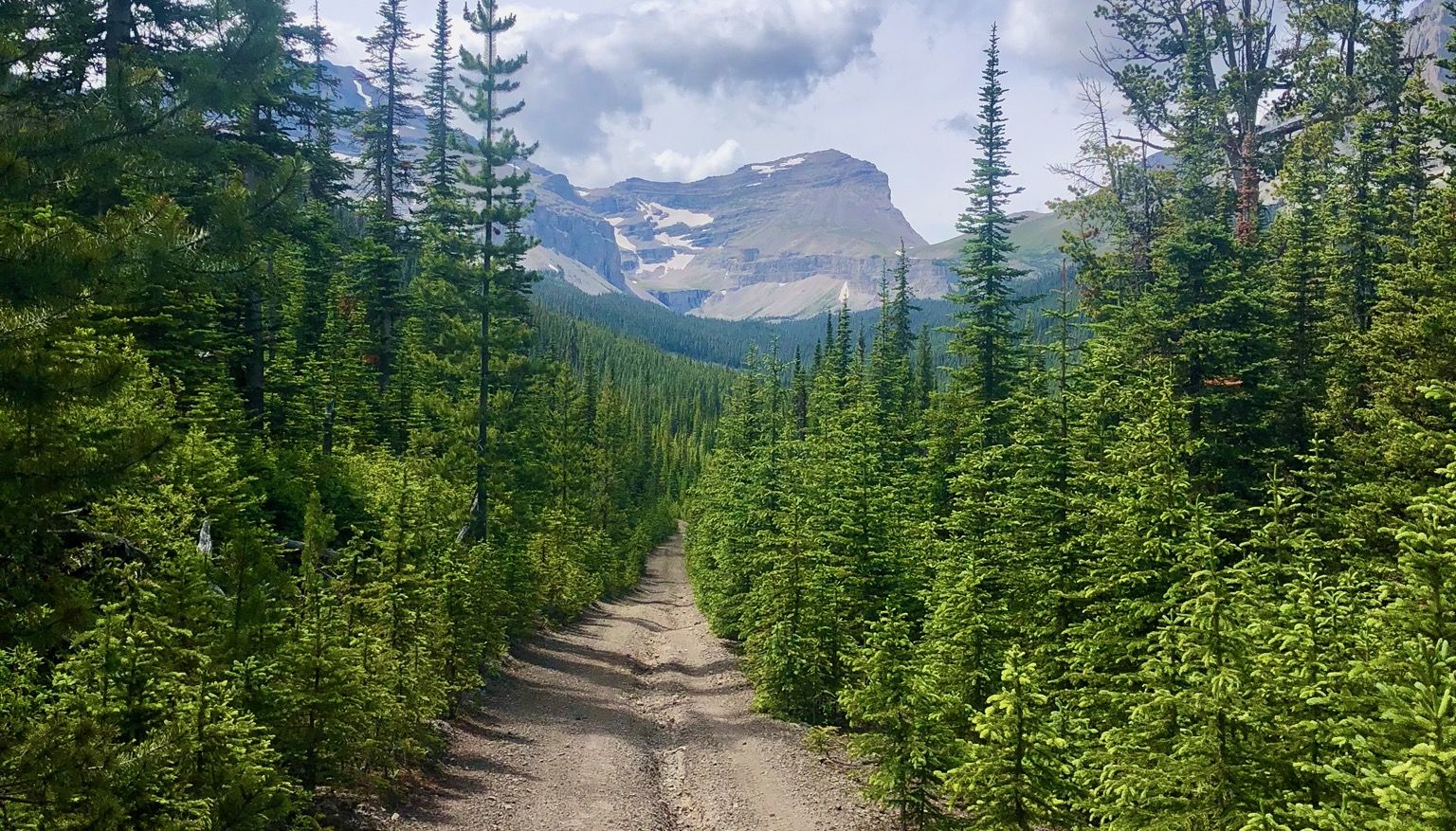
Run the Rockies – mountain range fastpack #5
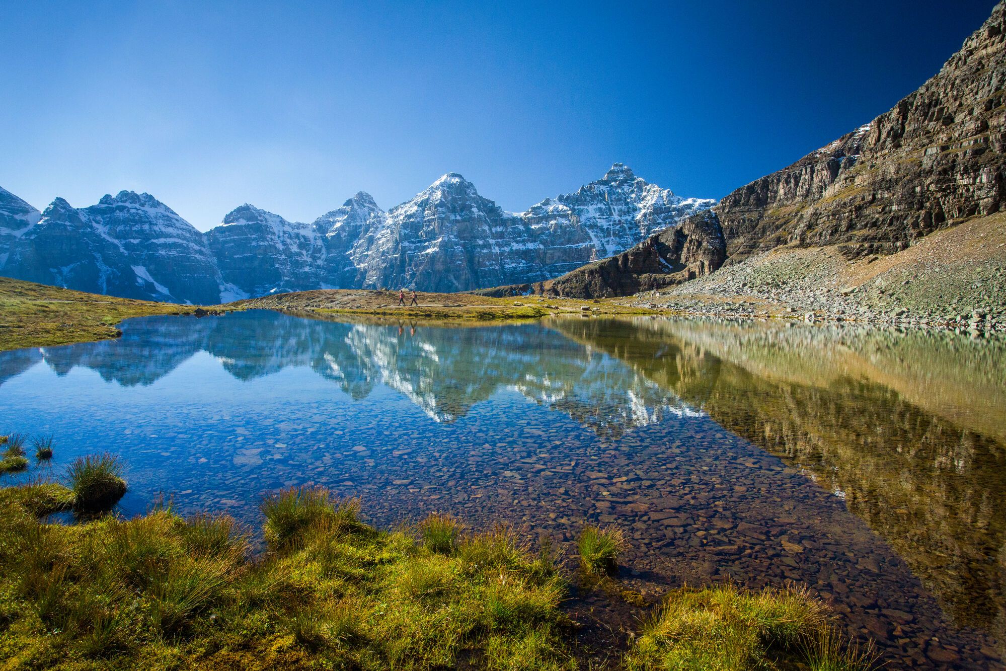
Spectacular road trip hikes – discover Calgary and Southern Alberta
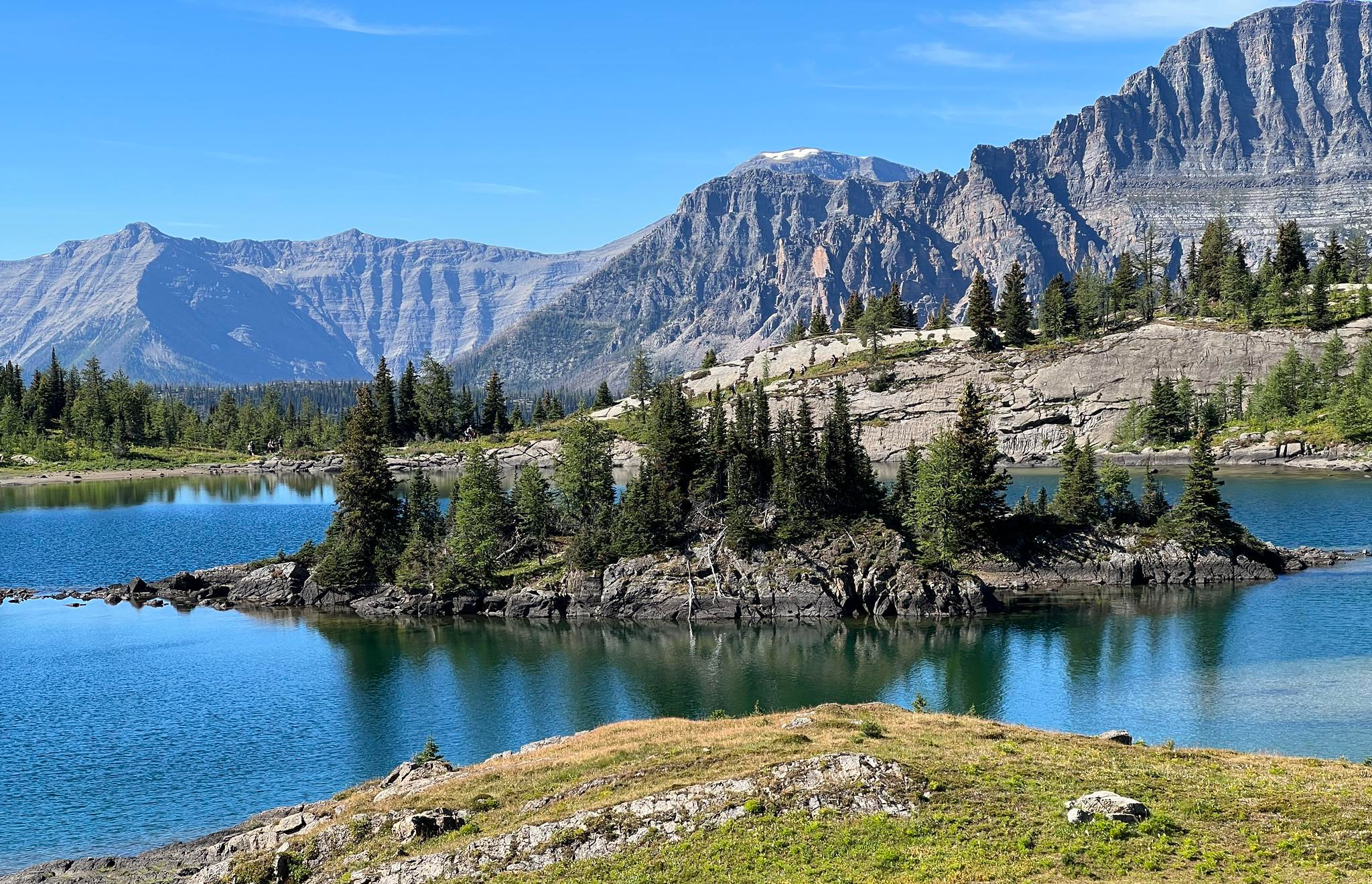
Great Divide Trail – Section A to E: Waterton to Maligne Lake

The pristine beauty of the US National Parks
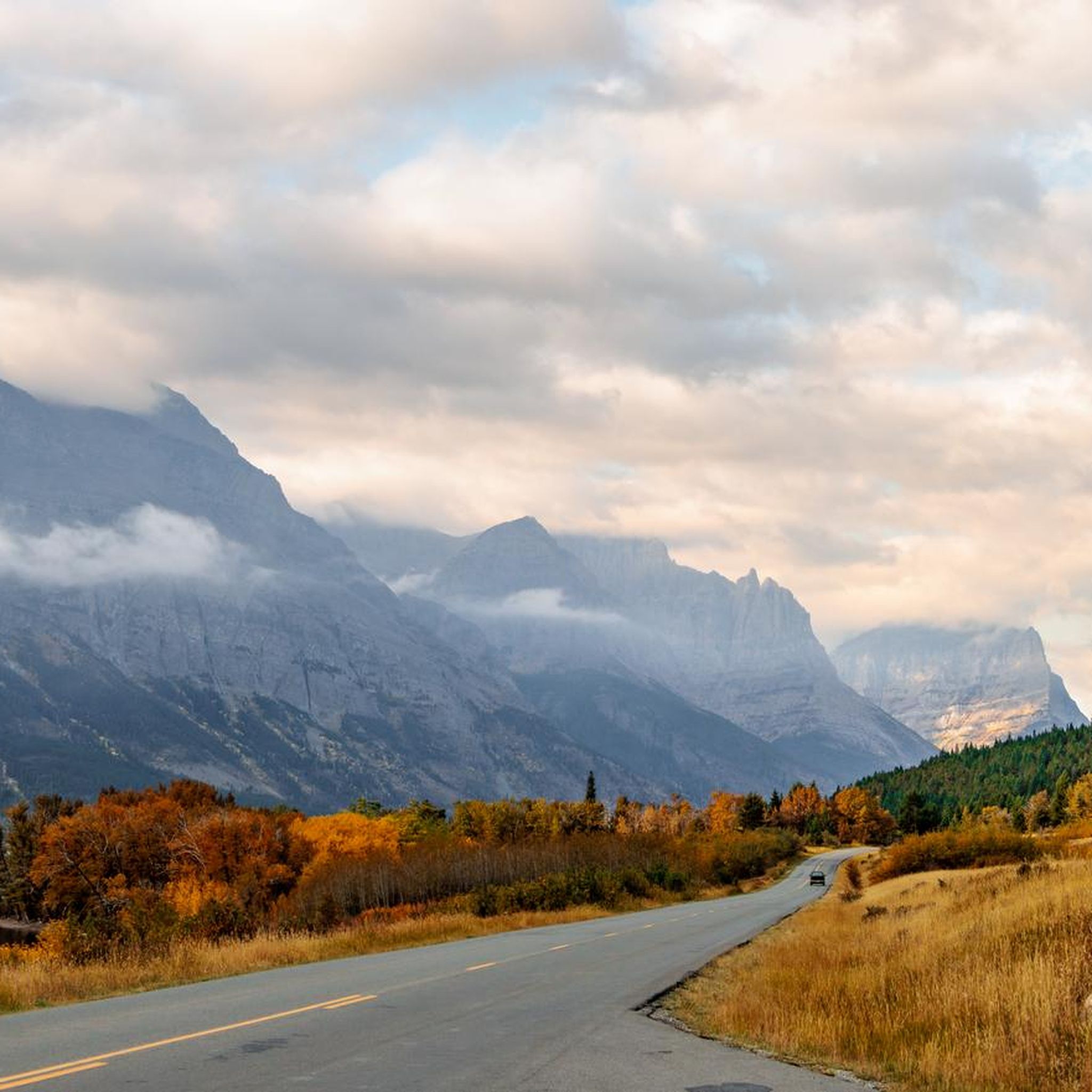
Cycling in the Lewis Range
Road Cycling Routes in the Lewis Range
Running Trails in the Lewis Range
At about 2100 m you have a wonderful view of both sides of the pass. It is often still snow-covered and you feel like you are in a ski lodge
2
0
Yes, also Cedars, and old ones at that, are in the park
2
0
This area is really so incredibly beautiful.
4
0
This area is really so incredibly beautiful.
3
0
Unbelievable View to the other site of Highline Trail
0
0
July to August is the perfect time to visit iceberg lake!
0
0
Reaching the summit of Logan Pass by bike is a true high point—literally and figuratively—of any ride in Glacier National Park. At 6,646 feet, the pass straddles the Continental Divide and offers sweeping views of alpine meadows, rugged peaks, and likely some mountain goats. The visitor center at the top has restrooms, water, interpretive displays, and rangers on hand to answer questions. It’s also a jumping-off point for iconic hikes like the Hidden Lake Overlook and Highline Trail.
0
0
Easy to walk paths, quickly muddy when it rains. Mostly flat
0
0
The primary hiking season in the Lewis Range is from July through September. During these months, the trails are generally free of snow, and the weather is most favorable. Wildflowers, like bear grass and glacier lilies, are often in full bloom in mid-summer. Always check current conditions before you go, as high-elevation passes can hold snow well into July.
Yes, the Lewis Range has several options for families. A great choice is the hike to Redrock Falls via Swiftcurrent Pass Trail. It's a relatively flat and short walk that leads to a beautiful cascading waterfall, making it engaging for hikers of all ages.
The region is home to grizzly and black bears, mountain goats, bighorn sheep, and moose. It is crucial to be bear-aware. Hike in groups, make noise on the trail, and carry bear spray and know how to use it. Never feed or approach wildlife, and always store your food securely, especially on overnight trips.
Definitely. The landscape is known for its waterfalls, especially those fed by melting snow and glaciers. The St. Mary and Virginia Falls trail is a popular option that takes you to two impressive waterfalls with minimal difficulty.
In the U.S. portion of the range, which is primarily Glacier National Park, pets are generally not permitted on hiking trails, in the backcountry, or along lakeshores. They are allowed in developed areas like drive-in campgrounds and along paved roads. Always check the specific regulations for the area you plan to visit.
Yes, there are several loop hikes. For a moderately challenging day out, the Upper Two Medicine Lake Loop offers stunning lake and mountain views along a varied path. It's a great way to experience the landscape without backtracking.
For day hiking, you generally do not need a specific hiking permit, but you will need a park entrance pass. Some areas, like the Going-to-the-Sun Road corridor, may also require a separate vehicle reservation during peak season.
For all overnight backpacking trips, a wilderness permit is mandatory. It's best to check the official National Park Service website for the most current regulations and reservation requirements before your trip: NPS.gov Hiking Information.
The Lewis Range is a premier backpacking destination. A classic and challenging multi-day trek is the Highline Trail, which follows the Continental Divide and offers incredible panoramic views. Planning and a wilderness permit are essential for any overnight trip in the backcountry.
There are over 120 designated hiking routes in the Lewis Range available on komoot, covering more than 700 miles of trails within Glacier National Park alone. The options range from easy, accessible nature walks to strenuous, multi-day alpine treks.
For breathtaking views from a high mountain pass, consider the Siyeh Pass (Shuttle Loop). This difficult hike rewards you with expansive alpine meadows and dramatic vistas of the surrounding peaks. It's a strenuous but classic Lewis Range experience.
Yes, a fantastic option starting from Logan Pass is the trail to the Hidden Lake Overlook. This moderate hike is famous for its iconic views of Hidden Lake and Bearhat Mountain, and it's a great place to spot mountain goats and bighorn sheep.
The trails in the Lewis Range are very highly rated by the komoot community, with an average score of 4.9 out of 5 stars. Hikers frequently praise the dramatic, glacier-carved scenery, the pristine alpine lakes, and the abundant opportunities for wildlife viewing.


Browse the best Hikes in other regions.




