The best gravel rides around Baños De Molgas
9
riders
1
ride
Gravel biking around Baños De Molgas offers diverse terrain, including dirt roads, ancient paths, and mixed-surface routes. The region is characterized by riverine paths along the Arnoia River, winding through oak and alder woods, and challenging routes that ascend mountainous areas. This combination provides varied landscapes for gravel cyclists seeking traffic-free trails. The area is situated at the foot of the Sierra de San Mamede and Monte Medo, contributing to its varied elevation.
Best gravel bike trails around Baños De Molgas
- The most popular gravel bike trail is Cachamuíña Reservoir – Cachamuíña Reservoir loop from I.T.V. de Ourense, a 44.1 miles (71.1 km) trail that takes 5 hours 7 minutes to complete. This difficult route navigates around the Cachamuíña Reservoir, offering varied terrain.
- Another top favourite among local gravel bikers is Hórreos of A Merca – Allariz Roman Bridge loop from I.T.V. de Ourense, a difficult 31.9 miles (51.4 km) path. This route leads through historical sites and rural landscapes.
- Local gravel bikers also love the Monte das Chairas Reservoir – Lonia River Mills loop from Río Loña, a 19.4 miles (31.3 km) trail leading through reservoir areas and river mills, often completed in about 2 hours 17 minutes.
- Gravel biking around Baños De Molgas is defined by riverine paths, oak and alder woods, and mountainous terrain. The network offers options for different ability levels, primarily focusing on challenging routes.
- The guide includes highly-rated routes that showcase the best of the region's landscape. More than 9 gravel bikers have used komoot to explore Baños De Molgas's varied terrain.
Last updated: October 18, 2026
2
riders
33.8km
02:44
640m
640m
Hard gravel ride. Very good fitness required. Mostly paved surfaces. Suitable for all skill levels.
1
riders
37.2km
02:53
700m
700m
Hard gravel ride. Very good fitness required. Mostly paved surfaces. Suitable for all skill levels.

2
riders
31.3km
02:18
600m
600m
Hard gravel ride. Very good fitness required. Mostly paved surfaces. Suitable for all skill levels.
2
riders
51.4km
03:22
750m
750m
Hard gravel ride. Very good fitness required. Mostly paved surfaces. Suitable for all skill levels.
2
riders
71.0km
05:08
1,460m
1,460m
Hard gravel ride. Very good fitness required. Mostly paved surfaces. Suitable for all skill levels.
Our route recommendations are based on thousands of hikes, rides, and runs completed by other people on komoot.
Start today with a free account
Your next adventure awaits.
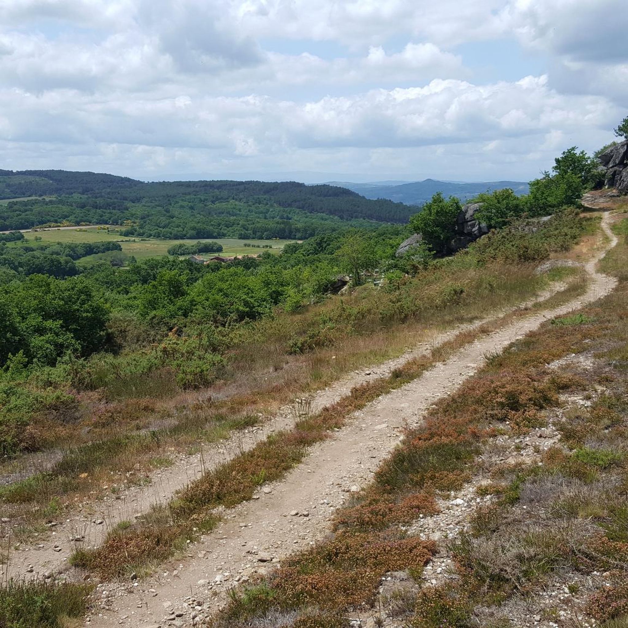

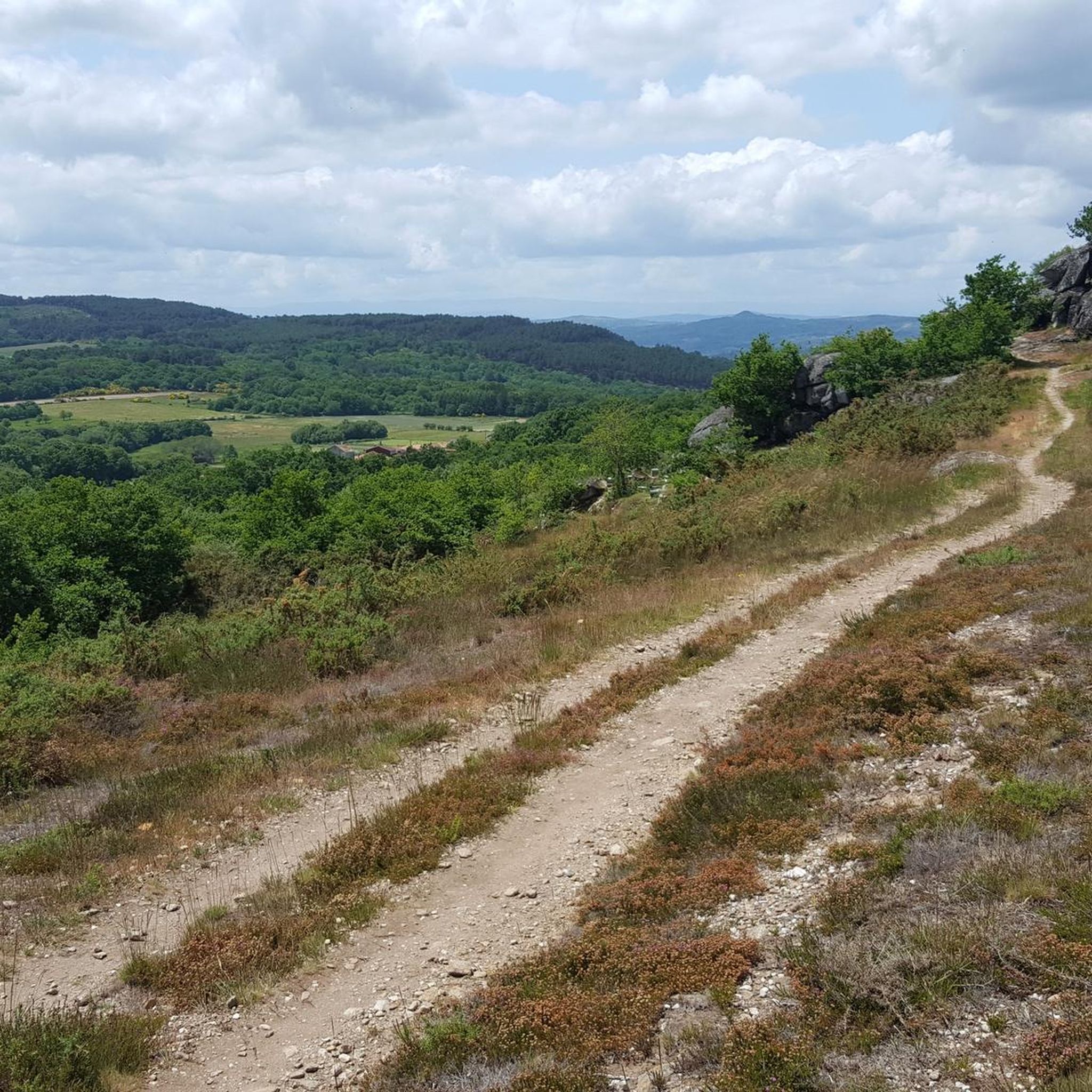
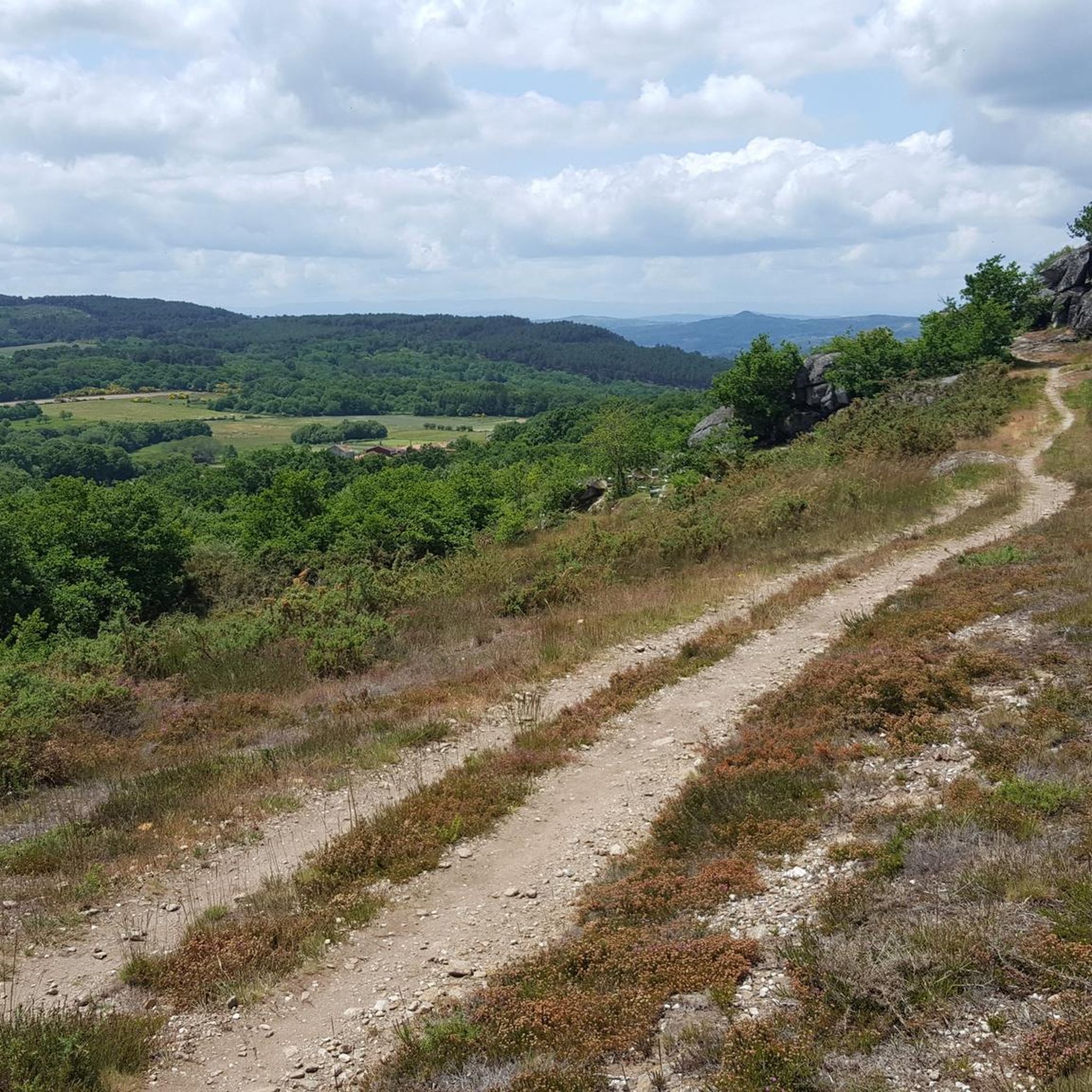

Tips from the Community

Location: in the municipality of Pereiro de Aguiar (Ourense), on the Loña River, a tributary of the Miño. Uses: water supply, irrigation, hydroelectric power generation, fishing; it is not navigable or suitable for swimming. Circular walk: approximately 4 km (3.7 km to be exact), easy difficulty, ideal for families and dogs—although they must be kept on a leash—offering shade, rest areas, and beautiful views.
1
0


Beautiful granaries and photo opportunity 🤙
0
0

Circular route around the reservoir, highly recommended
0
0
a set of granaries worth seeing
0
0

The mills of the Lonia River are old water mills located along the course of the Lonia River, in the province of Ourense. They were historically used to grind cereals using the power of the water. These mills, now in disuse or restored for tourist purposes, are part of the ethnographic heritage of the region. They are located at different points along the river, from its source to its confluence with the Miño River, and are part of hiking routes that allow you to enjoy the landscape and local history.
0
0
The medium-sized lake is an ideal spot for outdoor activities such as hiking, cycling and wildlife watching. The surroundings are characterised by the tranquillity of its wooded landscapes, with panoramic views and a peaceful atmosphere, making it a popular destination for those looking to unwind and enjoy the outdoors.
0
0
Frequently Asked Questions
What kind of terrain can I expect on gravel bike trails around Baños De Molgas?
Gravel biking around Baños de Molgas offers a varied landscape. You'll encounter dirt roads, ancient paths, and mixed-surface routes. Expect riverine paths along the Arnoia River, winding through oak and alder woods, and challenging routes that ascend mountainous areas towards the Sierra de San Mamede and Monte Medo.
Are there any challenging gravel bike routes in the Baños De Molgas area?
Yes, the area features several challenging routes. For instance, the Cachamuíña Reservoir – Cachamuíña Reservoir loop is a difficult 71 km ride with significant elevation gain. Another demanding option is the Hórreos of A Merca – Allariz Roman Bridge loop, covering over 51 km.
What natural features or landmarks can I see along the gravel bike routes?
Many routes pass by significant natural and historical landmarks. You can explore areas around the Arnoia River, Monte das Chairas Reservoir, and Cachamuíña Reservoir. Historical sites include the Allariz Roman Bridge, and the Lonia River Mills. The region is also known for its thermal waters, such as the Thermal Waters of Baños de Molgas.
Are there any loop routes for gravel biking in Baños De Molgas?
Yes, several routes are designed as loops, allowing you to start and finish in the same location. Examples include the Cachamuíña Reservoir – Cachamuíña Reservoir loop and the Monte das Chairas Reservoir – Lonia River Mills loop.
What is the best time of year for gravel biking in Baños De Molgas?
The region's climate generally allows for good gravel biking conditions throughout much of the year. Spring and autumn offer pleasant temperatures and vibrant scenery, while summer can be warm but still enjoyable, especially along riverine paths. Winter rides are possible, but check local weather conditions.
Are there any historical sites to visit near the gravel trails?
Absolutely. The area is rich in history. You can find the ancient Allariz Roman Bridge, the Sanctuary of Our Lady of Miracles, and the Monastery of San Pedro de Rocas. The Preromanesque Church of Santa Eufemia de Ambía is also a notable historical gem.
What is the typical length of gravel bike trails in this region?
The gravel bike trails in Baños de Molgas vary in length. You can find routes ranging from around 31 km, like the Monte das Chairas Reservoir – Lonia River Mills loop, to longer excursions such as the 71 km Cachamuíña Reservoir loop.
Are there any viewpoints along the gravel bike routes in Baños De Molgas?
Many routes offer scenic vistas, particularly those that ascend into the mountainous areas at the foot of the Sierra de San Mamede and Monte Medo. The Castro da Acea, an Iron Age hillfort, also provides commanding views over the Arnoia River valley.
Can I find places to eat or drink along the gravel bike trails?
While specific cafes directly on every trail are not guaranteed, the towns and villages you pass through, such as Baños de Molgas itself and Allariz, offer various options for refreshments and meals. It's always a good idea to carry snacks and water, especially on longer routes.
What are the options for parking when gravel biking in Baños De Molgas?
Parking is generally available in the main towns and villages that serve as starting points for many routes, such as Baños de Molgas or Allariz. Look for public parking areas, especially near popular attractions or trailheads.
Are there any family-friendly gravel bike trails in Baños De Molgas?
While many routes are rated as difficult, the region's network of paths along the Arnoia River and through oak and alder woods can offer sections suitable for families looking for less strenuous rides. It's best to check individual route profiles for elevation and terrain details to find the most appropriate options.
Most popular routes around Baños De Molgas
Most popular attractions around Baños De Molgas

Get inspired with the komoot mobile app


Explore more
Browse the best Gravel rides in other regions.
