Top 5 Mountain Passes around Gammelshausen
Mountain passes around Gammelshausen offer opportunities for outdoor activities such as hiking, cycling, and mountain excursions. The region provides varied terrain suitable for exploring nature on foot or by bike. While specific named mountain passes within Gammelshausen itself are limited, the broader area is known for its cycling, hiking, and trail experiences. Visitors interested in mountain pass experiences can find suitable routes in the surrounding region.
Best mountain passes around Gammelshausen
- The most popular mountain pass is Hepsisau Climb (Randecker…
Last updated: July 8, 2026
Hepsisau Climb (Randecker Maar Ascent)
Highlight (Segment) • Mountain Pass
Translated by Google •
Tip by

Gairenbuckel Pass
Highlight • Mountain Pass
Translated by Google •
Tip by

Sign up now to discover places like this
Get recommendations on the best single tracks, peaks, & plenty of other exciting outdoor places.
Sign up for free
Ascent to Fuchsecksattel
Highlight (Segment) • Mountain Pass
Translated by Google •
Tip by

Drackensteiner Steige
Highlight (Segment) • Mountain Pass
Translated by Google •
Tip by

Kornbergsattel Pass
Highlight • Mountain Pass
Translated by Google •
Tip by

Sign up for free to discover even more mountain passes around Gammelshausen.
Sign up for free
Already have an account?
Start today with a free account
Your next adventure awaits.
Login or Signup
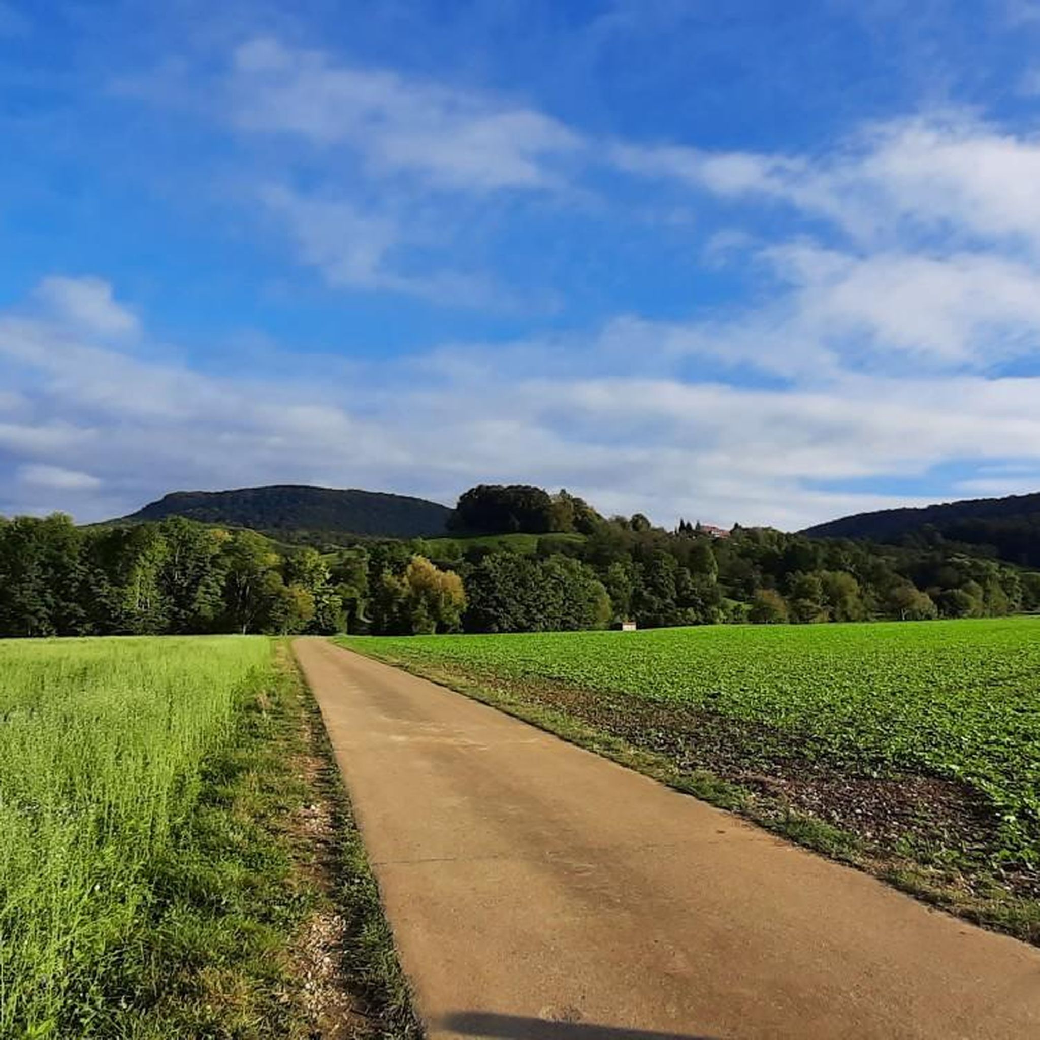
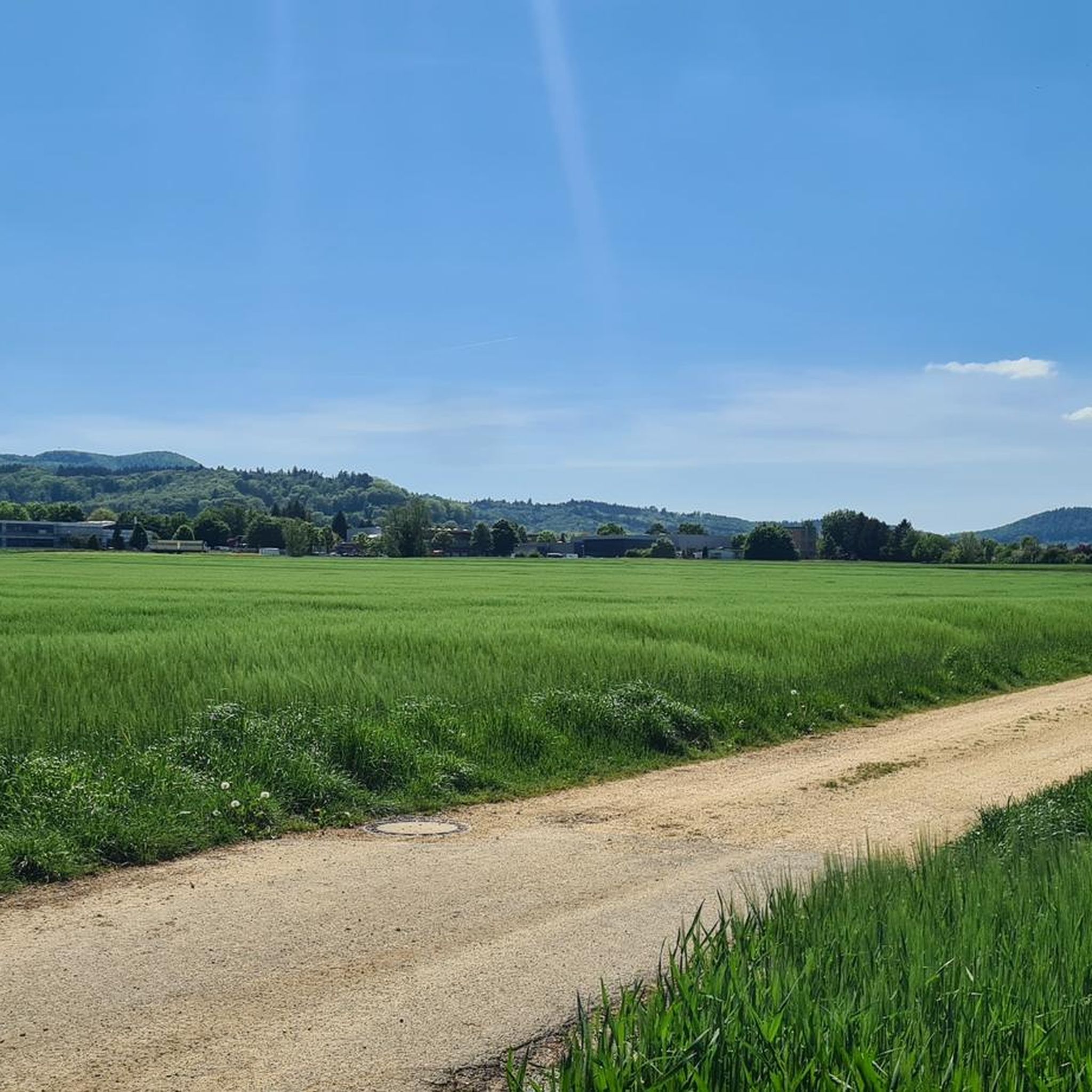
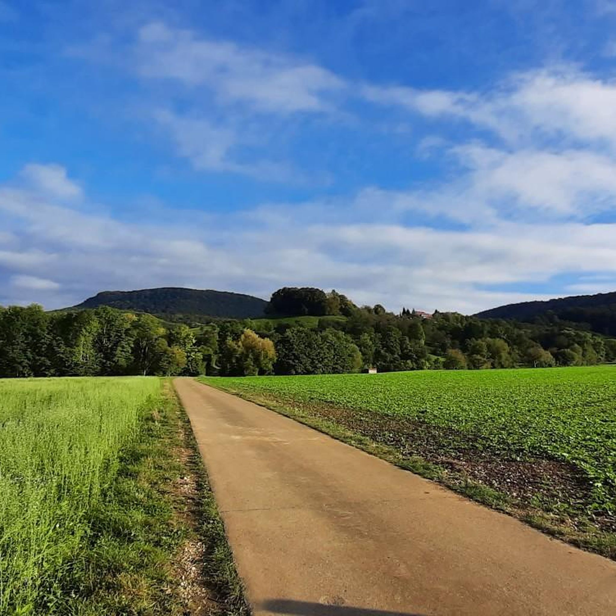
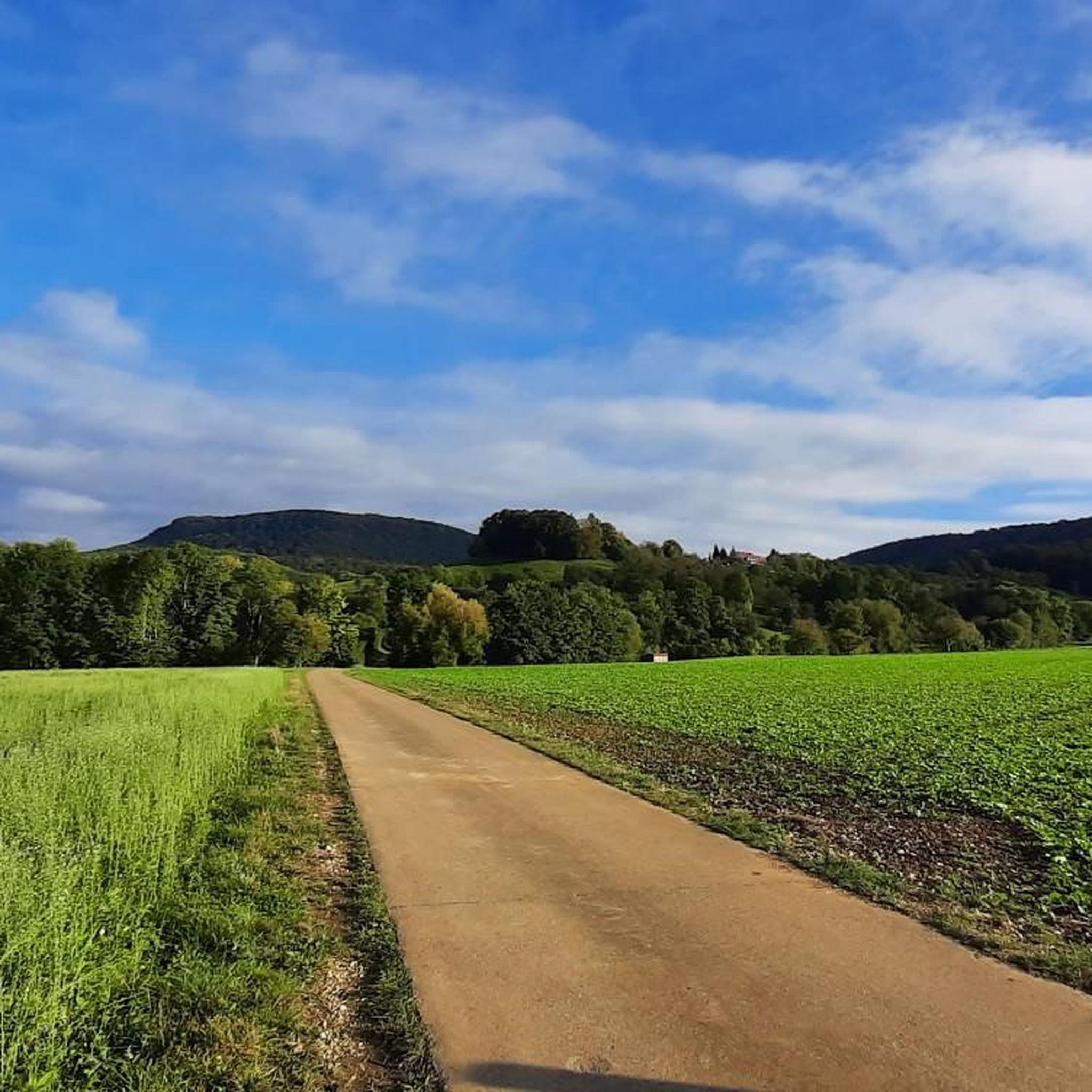
Tips from the Community

There is an ice cream machine here and it is worth stopping.
0
0

relatively little traffic and nice climb, a bit steep
0
0

Wonderful, low-traffic descent to Bad Ditzenbach. With mountains all around, you roll along a stream into the valley on good asphalt - perfect for enjoying. Almost gives you an Allgäu feeling.
0
0
Wonderful, quiet descent towards Bad Ditzenbach. Mountains all around, along a small stream, it almost gives you an Allgäu feeling.
0
0

The “Gairenbuckel” road crossing is located at 595 m above sea level. Only the last 150 m of the driveway from Reichenbach is very steep.
1
1


Coming from Schlat, it is advisable to take the path parallel to the road, as there is quite a lot of traffic here. The path rejoins the road shortly before the crest.
3
1
The road surface is not so good between Auendorf and Gosbach. There are some potholes that need to be avoided. The surface gets better towards the saddle.
1
1
Frequently Asked Questions
What kind of mountain pass experiences can I expect around Gammelshausen?
The mountain passes around Gammelshausen offer varied terrain suitable for exploring nature on foot or by bike. While specific named passes within Gammelshausen itself are limited, the broader region provides opportunities for cycling, hiking, and mountain excursions with climbs, viewpoints, and trails.
Which mountain passes around Gammelshausen are known for scenic views?
Several passes offer great views. The Hepsisau Climb (Randecker Maar Ascent) is known for its beautiful views. The Gairenbuckel Pass provides a fantastic view of Göppingen and towards the Kaiserberge. Additionally, the Kornbergsattel Pass features a nice vantage point with a bench, perfect for a break.
Are there any challenging mountain passes for experienced cyclists or hikers?
Yes, for those seeking a challenge, the Gairenbuckel Pass features an extremely steep climb from Schlat with an 18% gradient. The Drackensteiner Steige also offers beautiful climbing with a maximum 9% slope.
What outdoor activities can I do near these mountain passes?
The region around Gammelshausen is excellent for various outdoor activities. You can find numerous routes for hiking, including easy hikes and more challenging mountain hikes. For cyclists, there are options for road cycling, mountain biking, and gravel biking. Explore specific routes in guides like Mountain Hikes around Gammelshausen, Easy hikes around Gammelshausen, and Gravel biking around Gammelshausen.
Are there any family-friendly options for exploring the mountain passes?
While the passes themselves might involve climbs, the broader area around Gammelshausen offers many easy hiking trails suitable for families. For example, the guide for Easy hikes around Gammelshausen features routes like the 'View of Gammelshausen loop' which are rated as easy.
What do visitors enjoy most about the mountain passes in this region?
Visitors frequently appreciate the scenic beauty, the enjoyable driving or cycling experiences, and the opportunities for breaks at vantage points. Highlights like the Hepsisau Climb are praised for being one of the most beautiful Albaufstiege with little traffic and great views. The Kornbergsattel Pass is enjoyed in both directions and offers a nice bench for taking a rest.
Can I find circular walks in the Gammelshausen mountain region?
Yes, the Gammelshausen region offers several circular walks. For instance, the 'Source of the Fils – View of Neidlingen Valley loop' is a moderate mountain hike, and 'The Bettelkuch – Site of Zillenhart Castle loop' is an easy hike, both designed as circular routes. You can find more options in the Mountain Hikes and Easy Hikes guides for the area.
Are there any mountain passes with gentle ascents suitable for beginners?
The Ascent to Fuchsecksattel from Bad Ditzenbach offers a gentle ascent, conquering 140 meters over 5 kilometers. The asphalt is well-maintained, making it a pleasant experience, especially for the descent.
What is the best time of year to visit the mountain passes around Gammelshausen?
The region is generally suitable for outdoor activities throughout the warmer months, from spring to autumn, when conditions are ideal for hiking and cycling. While winter hiking is possible, specific mountain pass conditions can vary, so checking local weather forecasts is always recommended.
Are there any specific tips for cycling the mountain passes?
For cyclists, the Hepsisau Climb (Randecker Maar Ascent) is noted for having little traffic, making for a pleasant ride. The Drackensteiner Steige offers a smooth downhill ride from Drackenstein to Goßbach with great road conditions. The Ascent to Fuchsecksattel also provides a very nice driving experience up and down.
Where can I find information about parking near mountain pass trailheads?
While specific parking details for individual trailheads are not always listed, many popular starting points for hikes and cycling routes in the Gammelshausen region typically have designated parking areas. It's advisable to check the specific tour details on komoot for parking information related to your chosen route.
Most popular routes around Gammelshausen
Most popular attractions around Gammelshausen

Get inspired with the komoot mobile app


Explore more
See even more epic mountain passes by checking out these guides around Gammelshausen:
