The best running trails around Gammelshausen
4.4
(558)
6,759
runners
18
runs
Jogging routes around Gammelshausen are set within a picturesque natural environment, characterized by its location at the foot of the Swabian Alb and within the Swabian Forest. The region features a diverse landscape of green meadows, dense woods, and varied elevations. Runners can expect trails that traverse scenic ridges and offer expansive views of the fore-Alb area, providing both challenging ascents and tranquil stretches.
Best jogging routes around Gammelshausen
- The most popular jogging route is Galgenbuckel Hiking Parking Lot –…
Last updated: July 1, 2026
6
runners
Moderate run. Good fitness required. Mostly paved surfaces. Suitable for all skill levels.
6
runners
13.5km
01:28
200m
200m
Hard run. Good fitness required. Sure-footedness, sturdy shoes and alpine experience required.

Sign up for free
6
runners
15.8km
02:04
510m
510m
Hard run. Very good fitness required. Sure-footedness, sturdy shoes and alpine experience required.
8
runners
7.91km
00:50
70m
70m
Moderate run. Good fitness required. Mostly paved surfaces. Suitable for all skill levels.
5.0
(1)
4
runners
3.71km
00:24
50m
50m
Easy run. Great for any fitness level. Mostly paved surfaces. Suitable for all skill levels.
Get access to more routes and recommendations from other explorers.
Sign up for free
Already have an account?
Our route recommendations are based on thousands of hikes, rides, and runs completed by other people on komoot.
Start today with a free account
Your next adventure awaits.
Login or Signup
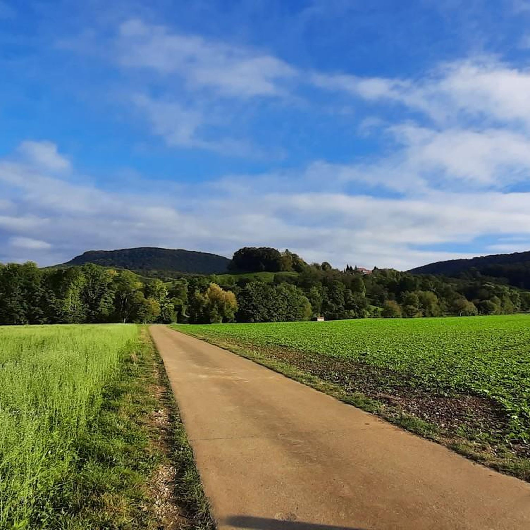
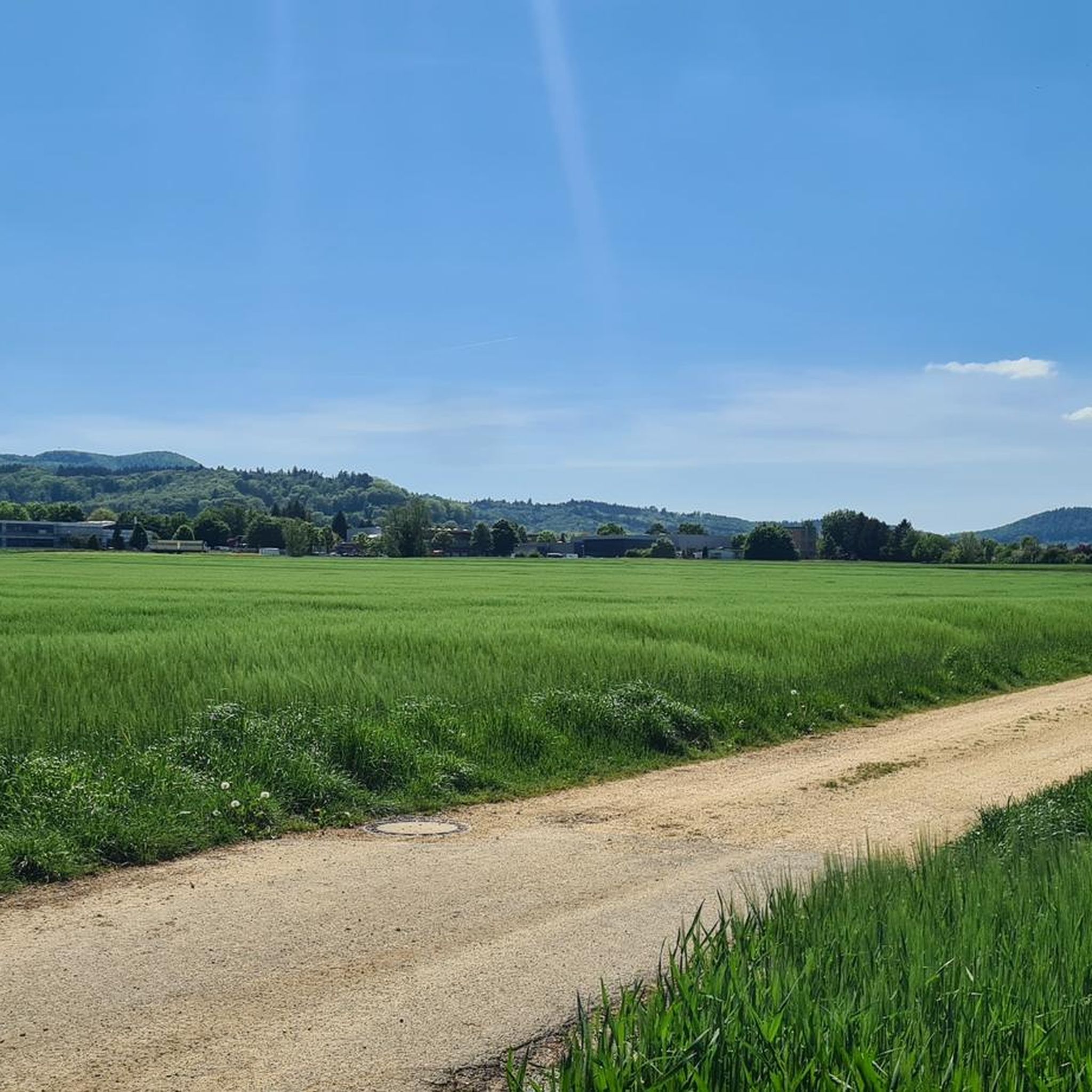
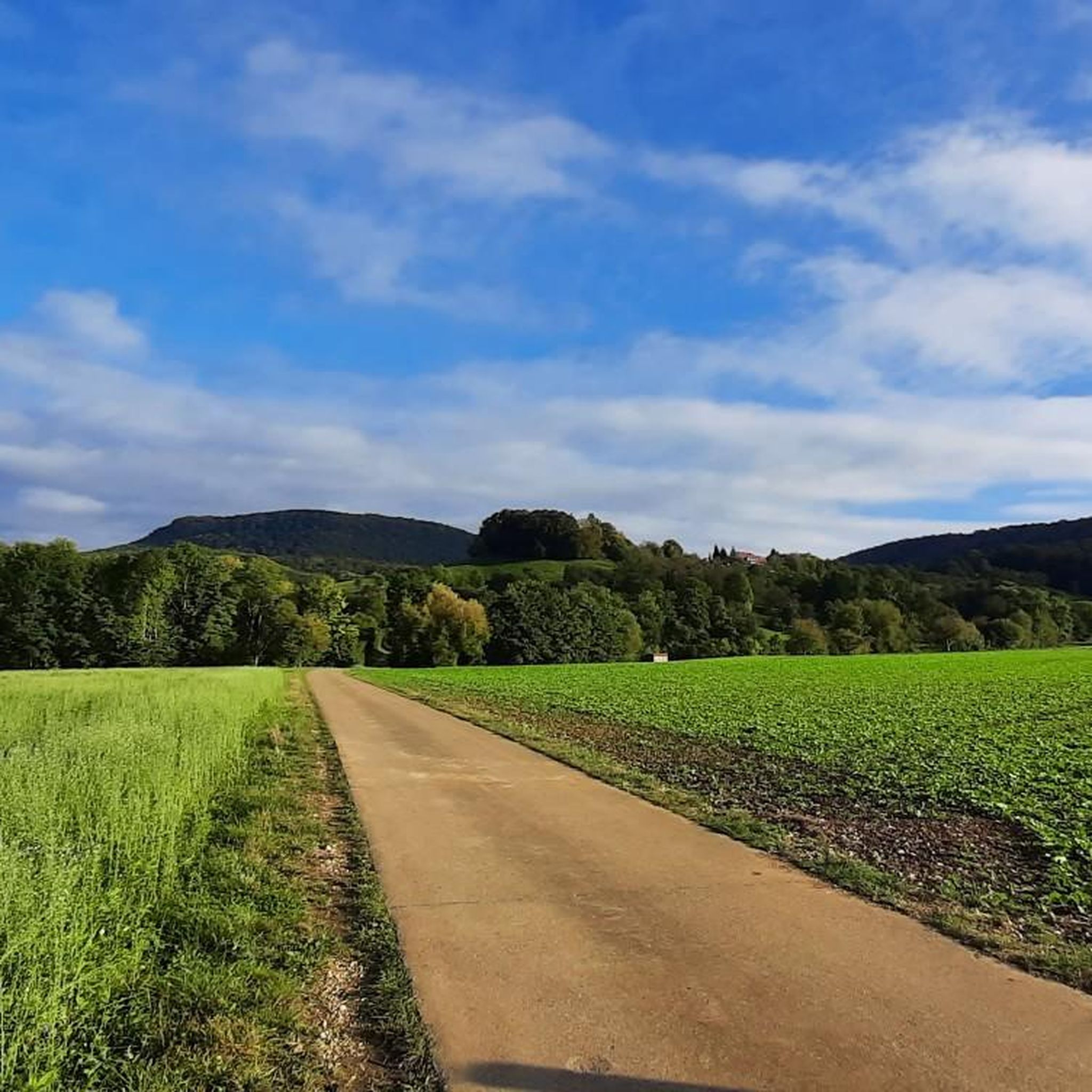
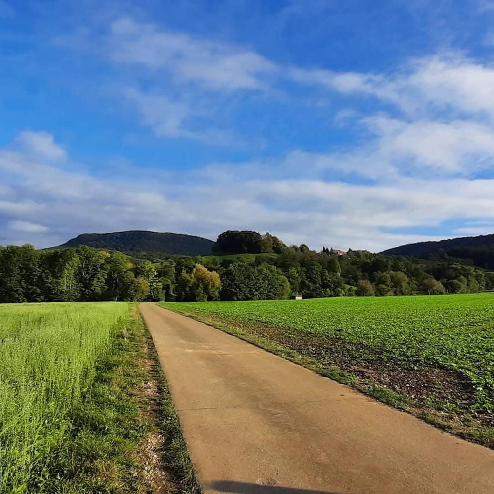
Tips from the Community

Short, small but fine hiking trail not far from the clinic. The unpaved nature trail in the middle of the forest, uphill and downhill, with bridges, roots, rapids and streams.
0
0

The "Sinneswandel" nature trail invites you to leave everyday life behind and experience nature with all your senses. The unpaved path leads uphill and downhill, over streams, roots, and ravines, and shows the diversity of the forest. Surefootedness and sturdy footwear are required (hiking boots are best). Due to slippery, damp sections, the path is not suitable for strollers or walkers. The Sinneswandel can be walked at any time and is suitable for walkers, nature lovers, and families who plan about an hour for a relaxing forest experience.
0
0

Caution, it drops off sharply at the side of the path.
1
0

One of numerous wooden bridges on the Berta-Hörnle tour. This one leads over the Riesbach stream.
0
0
To the north, there is a wonderful view towards Göppingen.
0
0
A beautiful wooden bridge spans the Badbächle stream. The path continues underneath it. In wet weather, it is also possible to avoid this section under the bridge (signposted).
0
0

Beautiful wooden bridge overlooking the small forest stream, the bridge can also be crossed via a path with wooden walkways underneath.
7
0
Magnificent panoramic views from a viewpoint with several benches near the former Bertaburg castle. In good weather, the view extends to the Neckar Valley on one side and to the Kaiserberge mountains on the other.
8
0
Frequently Asked Questions
How many running routes are available in Gammelshausen?
Gammelshausen offers a diverse network of nearly 20 running routes. These include options for various ability levels, from leisurely jogs to more demanding trails with significant elevation changes.
What kind of terrain can I expect on the running trails around Gammelshausen?
The running trails in Gammelshausen feature a varied landscape, including green meadows, dense woods, and scenic ridges at the foot of the Swabian Alb. You'll encounter both paved and natural surfaces, with some routes offering challenging ascents and rewarding vistas.
Are there routes suitable for beginners or those looking for an easier run?
Yes, Gammelshausen has several easier running options. For instance, the 5.8 km Swabian Saying Path offers minimal elevation change and a leisurely experience. Among the komoot routes, there are 3 easy routes available, perfect for a relaxed jog.
What do other runners say about the trails in Gammelshausen?
The running routes in Gammelshausen are highly rated by the komoot community, with an average score of 4.5 stars from over 500 reviews. More than 6,000 runners have used komoot to explore the varied terrain, often praising the picturesque natural setting and well-maintained trails.
Are there any circular running routes in the area?
Yes, many of the routes around Gammelshausen are circular, allowing you to start and finish at the same point. An example is the Galgenbuckel Hiking Parking Lot – Bad Boll Orchard Educational Trail loop from Gammelshausen, which is a popular 8.2 km option.
Can I bring my dog on the running trails?
Many trails in the Gammelshausen area are suitable for running with dogs, especially those through the woods and meadows. It's always recommended to keep your dog on a leash, particularly in nature reserves or areas with wildlife, and to respect local regulations.
Are there family-friendly running options in Gammelshausen?
For families, routes with less elevation and varied points of interest are ideal. The Swabian Saying Path, with its regional idioms, offers an engaging and easier experience. The Alpaca Farm Hofwiese – Beautiful farms loop from Gammelshausen is another moderate option that might appeal to families.
Where can I find scenic viewpoints or interesting landmarks along the routes?
Gammelshausen's location offers numerous scenic spots. The Galgenbuckel features a panoramic platform known as the 'Green TRAU(F)-Zimmer'. You can also find impressive views from the Limburg Viewpoint or the Bossler Memorial Cross and Viewpoint. Some routes also pass by historic sites like Reußenstein Castle.
Are there any routes that pass by unique natural features like orchards?
Yes, the region is known for its agricultural landscape. The Wild Boar Trail, for example, leads through an orchard educational path (Obstlehrpfad), offering a unique natural element to your run. The popular Galgenbuckel Hiking Parking Lot – Bad Boll Orchard Educational Trail loop also incorporates this feature.
What are the parking options for accessing the running trails?
Many trailheads in and around Gammelshausen offer convenient parking. For instance, the Galgenbuckel Hiking Parking Lot is a common starting point for several routes, including the Bad Boll Orchard Educational Trail loop.
Is public transport available to reach the trailheads?
While Gammelshausen is best accessed by car, some local bus services connect to nearby towns like Bad Boll, from where certain trailheads might be reachable. It's advisable to check local bus schedules for specific routes and connections to your desired starting point.
Are there places to rest or grab refreshments along the routes?
Yes, some routes offer opportunities for breaks. The Galgenbuckel area features a barbecue spot, and the 'Wave bank at the Galgenbuckel' provides a place for rest with views. On the Dream Route over the Kornberg, there's a refreshment stop available at the Kornberg hut on weekends.
What is the best time of year to go running in Gammelshausen?
Gammelshausen is beautiful for running year-round. Spring and autumn offer pleasant temperatures and vibrant scenery with blooming orchards or colorful foliage. Summer provides long daylight hours, while winter can be magical with snow, though some trails might be more challenging due to conditions.
Are there any longer routes for experienced runners seeking a challenge?
Absolutely. For experienced runners, the Albtraufweg at Kornberg – View from Bertaburg loop is a challenging 15.8 km trail with significant elevation changes. Additionally, sections of the Albtraufgänger trail (like Stage 2, which is 23.2 km with substantial ascent) can provide a demanding run with rewarding views.
Most popular routes around Gammelshausen
Most popular attractions around Gammelshausen

Get inspired with the komoot mobile app


Explore more
Browse the best Running Trails & Routes in other regions.
