Top 20 Natural Monuments around Lutzerath
Natural monuments around Lutzerath are defined by the Vulkaneifel region's volcanic landscape and its proximity to the Moselle valley. This area features geological formations such as maars, which are crater lakes formed by volcanic activity. The landscape also includes deep river valleys and elevated viewpoints offering expansive vistas. These natural features contribute to the region's appeal for outdoor exploration.
Best natural monuments around Lutzerath
- The most popular natural monuments is Calmont via ferrata, a climb that features narrow paths…
Last updated: October 11, 2026
Calmont via ferrata
Highlight (Segment) • Climb
Translated by Google •
Tip by

Panoramic view of the Moselle bend below the Calmont summit
Highlight • Viewpoint
Translated by Google •
Tip by

Sign up now to discover places like this
Get recommendations on the best single tracks, peaks, & plenty of other exciting outdoor places.
Calmont Ridge Trail
Highlight • Trail
Translated by Google •
Tip by

Rope-Assisted Section on the Calmont Via Ferrata
Highlight • Climb
Translated by Google •
Tip by

Calmont via ferrata
Highlight • Climb
Translated by Google •
Tip by

Sign up for free to discover even more natural monuments around Lutzerath.
Already have an account?
Start today with a free account
Your next adventure awaits.
Popular around Lutzerath

Excellent paths in the Vulkaneifel – Explore the HeimatSpuren
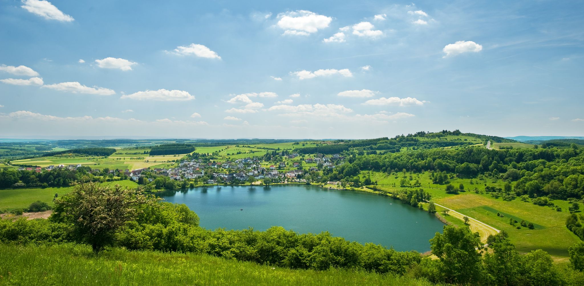
Lava pits & fairytale lakes – hiking through Vulkaneifel in Germany
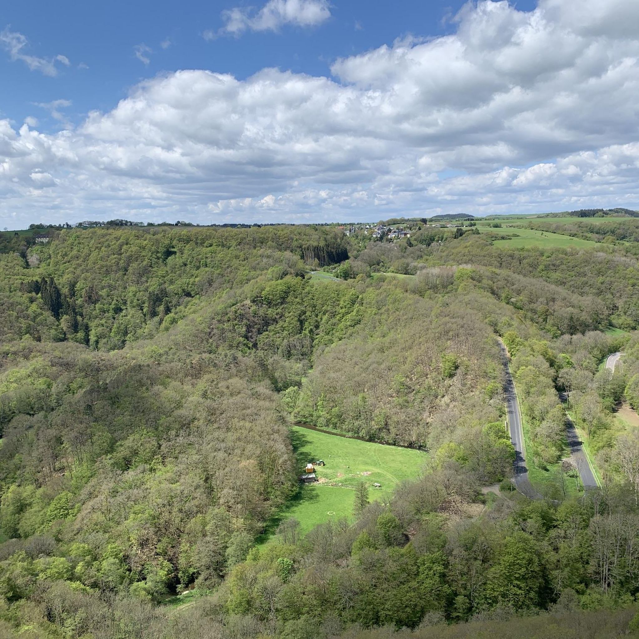
Hiking around Lutzerath
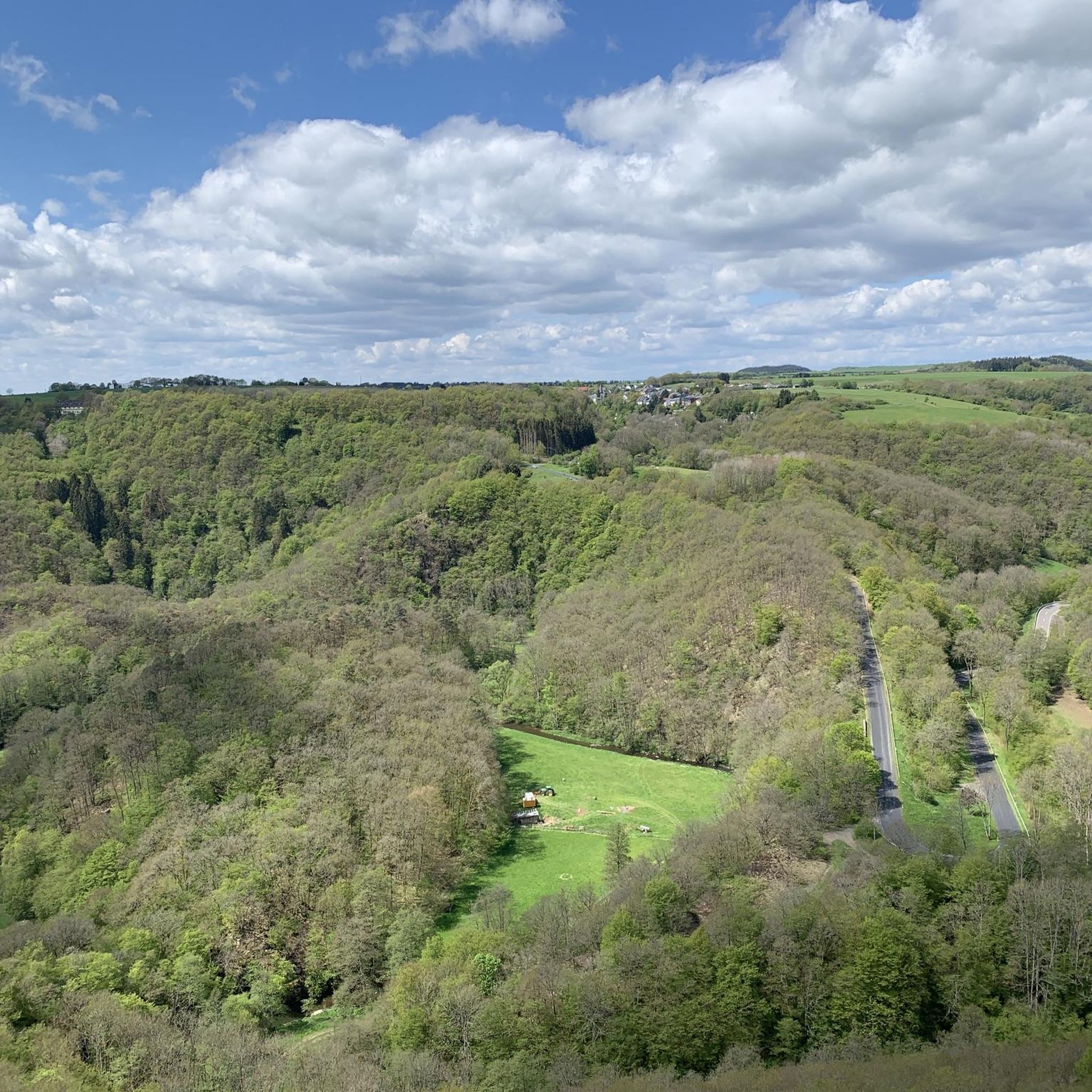
Cycling around Lutzerath
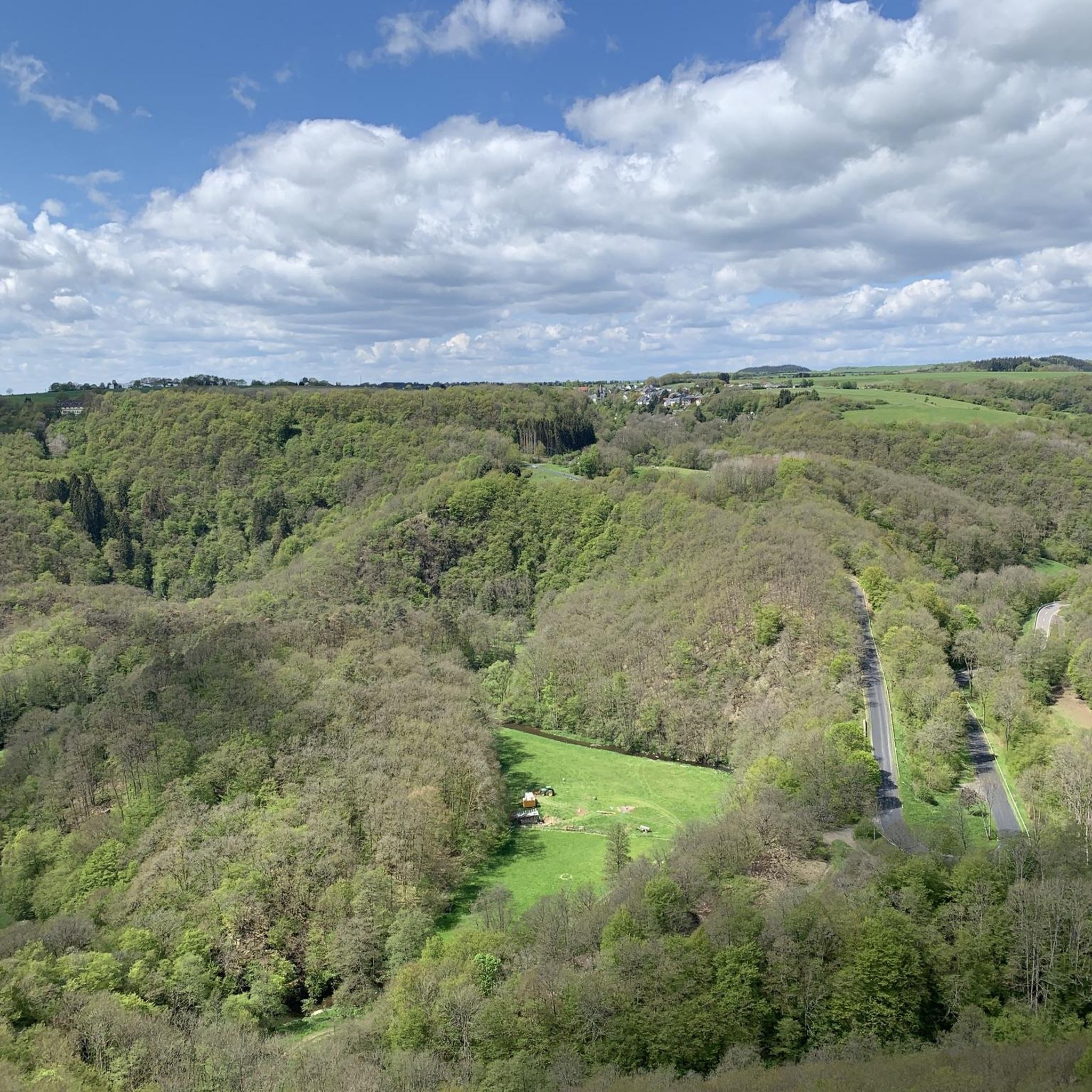
MTB Trails around Lutzerath
Running Trails around Lutzerath
Road Cycling Routes around Lutzerath
Gravel biking around Lutzerath
Mountain Hikes around Lutzerath

Tips from the Community

🥾🥾⛰️The Calmont is a steep vineyard with a 65 degree incline↗️ & a height of 378 meters↕️. The Calmont via ferrata🥾🥾🪜 leads through the vineyard, impassable rocky sections are overcome with climbing aids. The hike on the Calmont high trail with the Calmont summit cross and “Vierseenblick” offers fantastic views🎨🖌. Difficult passages are equipped with rock steps, rope safety devices, steel ladders, iron brackets and footholds. 🧭The Calmont region is located on the Terraced Moselle, just under 20 kilometers from Cochem. Thanks to the German Alpine Association and many volunteers from the surrounding communities of Bremm, Ediger-Eller and Neef. Because they all made sure that the mountain was accessible in the first place🥾🥾🎒.
8
0

The route is great, a clear recommendation if you think you can do it.
4
0

The Calmont is an almost 400 meter high steep vineyard with a 65 degree slope. The Calmont via ferrata leads up and down through the vineyard over narrow, partly rooty and numerous rocky passages. Difficult passages are equipped with rock steps, rope safety devices, 6 steel ladders, 22 iron brackets and 16 stepping pins.
10
3

From this vantage point you have one of the best valley views of the Moselle loop.
76
0
The Calmont via ferrata is more of a mountain trail than a via ferrata. Passages of the "via ferrata" are made safer with handrails, ladders, step bars and stepping pins. However, hikers who are not sure-footed also have the option of bypassing the short section of the "via ferrata".
73
10

It is particularly beautiful in October when the leaves change color. Shortly after 10 a.m. we walked from Eidiger-Eller, first over the Todesangst and the Höhenweg, so we were above the Moselle loop at the right time. There is a rest area with a bench, from where we could watch how the fog revealed the colorful landscape.
13
0

Beautiful hiking tour with a view of the Moselle loop. 😍
13
0

You can also enjoy the view without hiking up. Drive up with the car. Drive quite far, then comes a gravel road, this approx. 2km comes a parking lot for hikers. From there it is not far to the summit cross and Vierseenblick. Together about 2km. Above are great wide hiking trails. Well suited for beginners. Then down to Bremm where the second vantage point is easily accessible on foot. So everyone has something.
14
0
Frequently Asked Questions
What unique geological features can I explore around Lutzerath?
The Lutzerath area, nestled in the Vulkaneifel region, is characterized by its volcanic landscape. You can discover fascinating geological formations such as maars, which are distinctive circular lakes formed in volcanic craters, often referred to as the 'eyes of the Eifel'. The region also features deep river valleys, most notably the Moselle valley, with its dramatic bends and steep slopes, as seen from viewpoints like the Panoramic view of the Moselle bend below the Calmont summit.
Are there specific viewpoints to enjoy the natural scenery near Lutzerath?
Absolutely. The region offers several stunning vantage points. The Panoramic view of the Moselle bend below the Calmont summit provides expansive panoramas of the winding Moselle, vineyards, and distant Hunsrück. Another excellent spot is the View of the Moselle Bend at Bremm, offering a classic vista of the river's most famous loop. Additionally, the Eifelblick Achterhöhe, mentioned in local research, provides sweeping views across the Siebenbachtal.
What kind of flora and fauna can I expect to see on trails around Lutzerath?
The natural areas around Lutzerath, particularly along trails like the Erlebnisweg Achterhöhe, are rich in biodiversity. You might encounter heath areas with heather and rare forest hyacinths. Keep an eye out for wildlife such as badger burrows, impressive mounds built by red forest ants, and in wetland biotopes, grass snakes and adders. Birdwatchers may also spot protected species like red kites and tree hawks.
What hiking trails are available near the natural monuments around Lutzerath?
There are numerous hiking opportunities. For easy walks, you can explore routes like the HeimatSpur Wald-Wohlfühl-Weg or the Wild Kiste Farm Shop – Achterhöhe Chapel loop. For more options, check out the Easy hikes around Lutzerath guide. If you're seeking a challenge, the Calmont via ferrata offers a thrilling experience with narrow paths and climbing sections.
Can I find challenging trails or climbs among the natural monuments?
Yes, for those seeking a challenge, the Calmont via ferrata is a prominent option. It features narrow paths and sections that require surefootedness and a head for heights. The Rope-Assisted Section on the Calmont Via Ferrata specifically includes safety features like handrails and ladders, providing an engaging climbing experience within the natural monument.
Are there family-friendly natural monuments or trails suitable for children?
The Erlebnisweg Achterhöhe, integrated with the Eifelblick Achterhöhe viewpoint, is an excellent option for families. This 5.4-kilometer circular route is praised for its varied and engaging hike, showcasing diverse habitats and offering eight experience points that can awaken the senses of both young and old. It provides a great opportunity to explore nature and learn about local flora and fauna.
What is the best time of year to visit the natural monuments around Lutzerath?
The region offers beauty throughout the year. Spring and summer are ideal for enjoying the lush greenery and vibrant flora, especially along trails like the Erlebnisweg Achterhöhe. Autumn is particularly stunning when the vineyards on the Moselle slopes glow in bright colors, making it a popular time for scenic views from spots like the Panoramic view of the Moselle bend below the Calmont summit. Cooler days are recommended for the Calmont via ferrata, as it can heat up significantly in the summer sun.
Are there options for cycling near the natural monuments?
Yes, the Lutzerath area provides diverse cycling routes. You can find challenging rides like the Calmont Vineyard loop, which takes you through Europe's steepest vineyard, or routes around the maars such as the Pulvermaar loop. For more cycling adventures, consult the Cycling around Lutzerath guide.
What do visitors enjoy most about the natural monuments around Lutzerath?
Visitors frequently praise the breathtaking views, especially from the Moselle viewpoints, which offer expansive panoramas of the river, vineyards, and distant landscapes. The unique geological formations, such as the maars and the volcanic features of the Eifel, are also highly appreciated. Many enjoy the engaging and challenging experiences provided by trails like the Calmont via ferrata, noting the fun of the small climbing tours and the sense of accomplishment. The opportunity to relax and soak in the serene surroundings, like at the 'forest sofa' on Eifelblick Achterhöhe, is also a highlight.
Is the Pinnerkreuz Viewpoint considered a natural monument, and what does it offer?
The Pinnerkreuz Viewpoint is a significant natural monument offering a magnificent view over Cochem and the Reichsburg Castle, as well as the entire Moselle loop. While the cross itself is a man-made monument, the vantage point it provides over the natural landscape is what makes it a cherished natural monument. It's accessible either by chairlift or on foot, promising a memorable experience.
Are there any historical elements integrated with the natural monuments?
Yes, the region blends natural beauty with historical significance. For instance, the Erlebnisweg Achterhöhe includes ancient Roman burial mounds, adding a historical dimension to the natural exploration. Additionally, the panoramic views from the Moselle often encompass historical sites like the Stuben monastery ruins and the Petersberg, illustrating the long-standing interrelation of nature, culture, and landscape in the Moselle valley, with viticulture dating back to Roman times.
Most popular routes around Lutzerath
Most popular attractions around Lutzerath

Get inspired with the komoot mobile app


Explore more
Extend your search for the best caves by checking out these guides of the top ones around Lutzerath:
