Top 8 Mountain Passes around Bad Sankt Leonhard im Lavanttal
Best mountain passes around Bad Sankt Leonhard im Lavanttal are situated within the Lavanttal valley in Carinthia, Austria. This region is part of the larger network of the Austrian Alps, characterized by mountainous terrain and scenic routes. The area offers access to various mountain passes that serve as transportation arteries and provide views of the surrounding landscape. These passes connect different districts and offer diverse outdoor experiences.
Best mountain passes around Bad Sankt Leonhard im Lavanttal
- The most popular mountain passes is Packsattel Pass (1200 m), a mountain pass that is a popular route for cyclists and motorcyclists. It sits at 1200 m above sea level and offers alternative routes to the main road.
- Another must-see spot is Styria–Carinthia Border, a mountain pass marking the border between Styria and Carinthia. This location provides access to routes towards Barbarahaus or Knödelhütte.
- Visitors also love Weinebene western ramp, a mountain pass known for its scenic ascent. Hiking opportunities are available at the top of the pass.
- Bad Sankt Leonhard im Lavanttal is known for mountain passes that offer cycling routes, viewpoints, and trails. The region provides a variety of mountain passes to explore, catering to different outdoor activities.
- The mountain passes around Bad Sankt Leonhard im Lavanttal are appreciated by the komoot community, with 24 upvotes and 4 photos shared.
Last updated: July 7, 2026
Peterer Saddle (1,745 m)
Highlight • Mountain Pass
Translated by Google •
Tip by

Packsattel Pass (1200 m)
Highlight • Mountain Pass
Translated by Google •
Tip by

Sign up now to discover places like this
Get recommendations on the best single tracks, peaks, & plenty of other exciting outdoor places.
Sign up for free
Klippitztörl Pass at 1,842 m
Highlight • Mountain Pass
Translated by Google •
Tip by

Styria–Carinthia Border
Highlight • Mountain Pass
Translated by Google •
Tip by

Hirschegger Straße
Highlight (Segment) • Mountain Pass
Translated by Google •
Tip by

Sign up for free to discover even more mountain passes around Bad Sankt Leonhard im Lavanttal.
Sign up for free
Already have an account?
Start today with a free account
Your next adventure awaits.
Login or Signup
Popular around Bad Sankt Leonhard im Lavanttal

Eisenwurzen Trail – Hiking through Austria from north to south

Magnificent mountain biking on Austria's alpine pastures
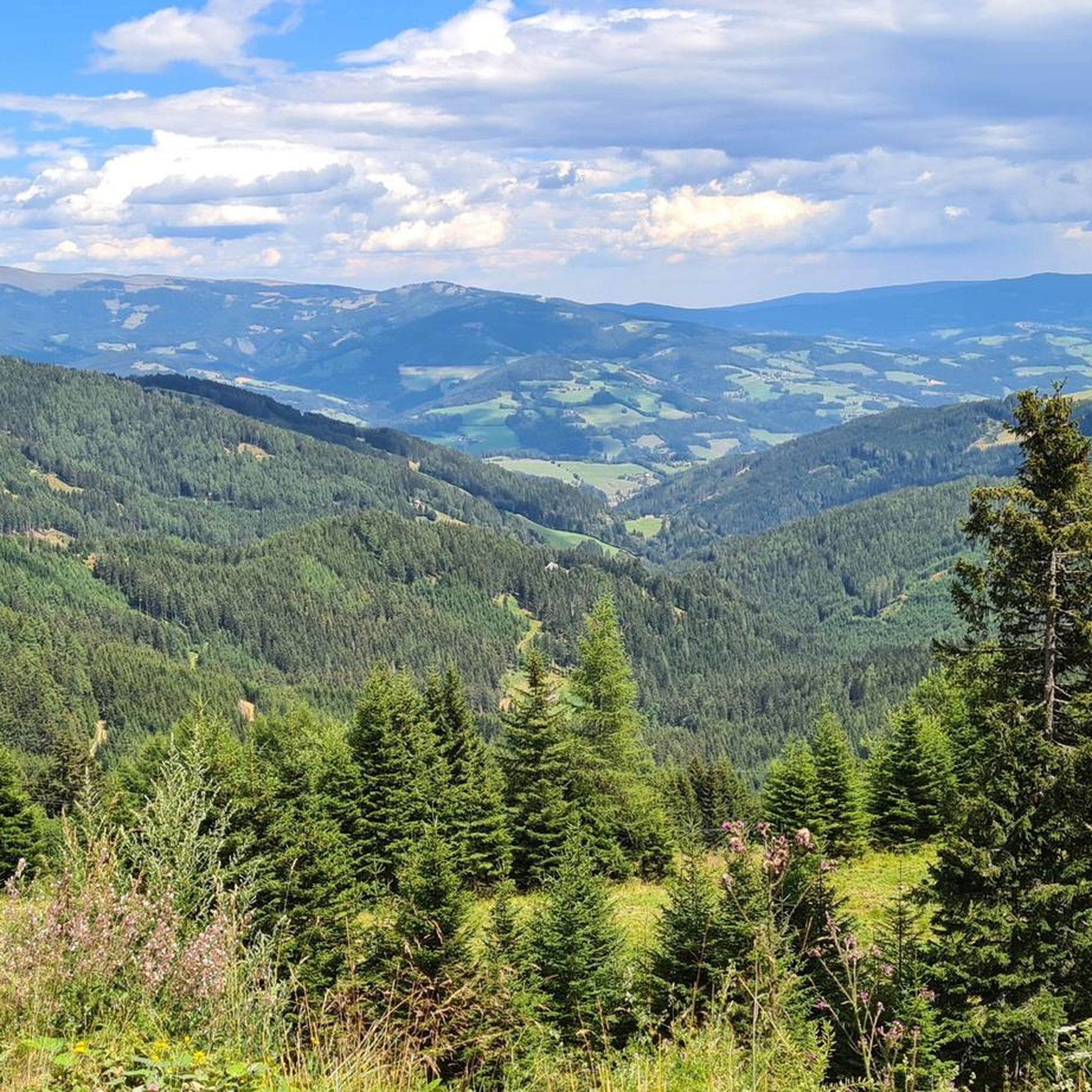
Hiking around Bad Sankt Leonhard im Lavanttal
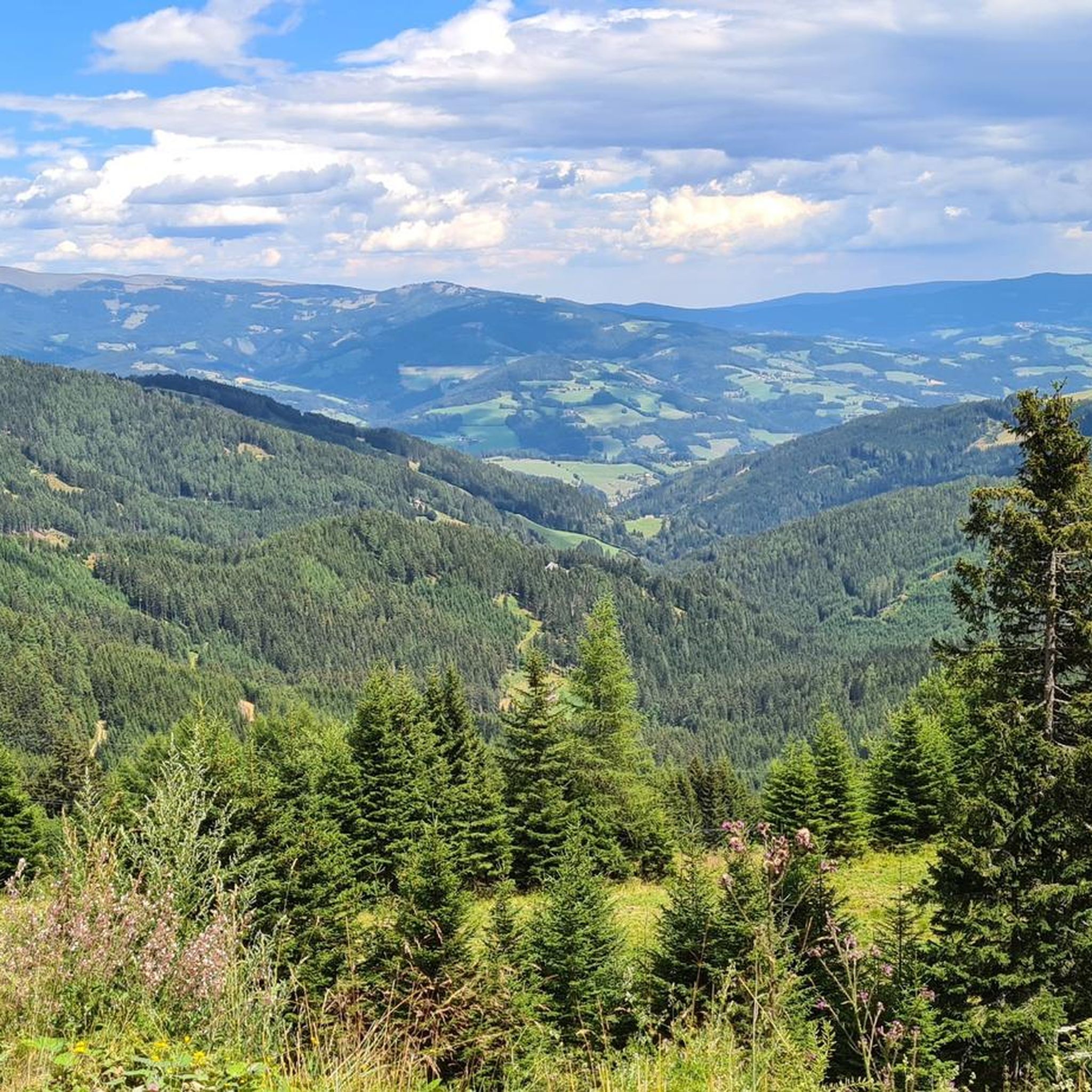
Cycling around Bad Sankt Leonhard im Lavanttal
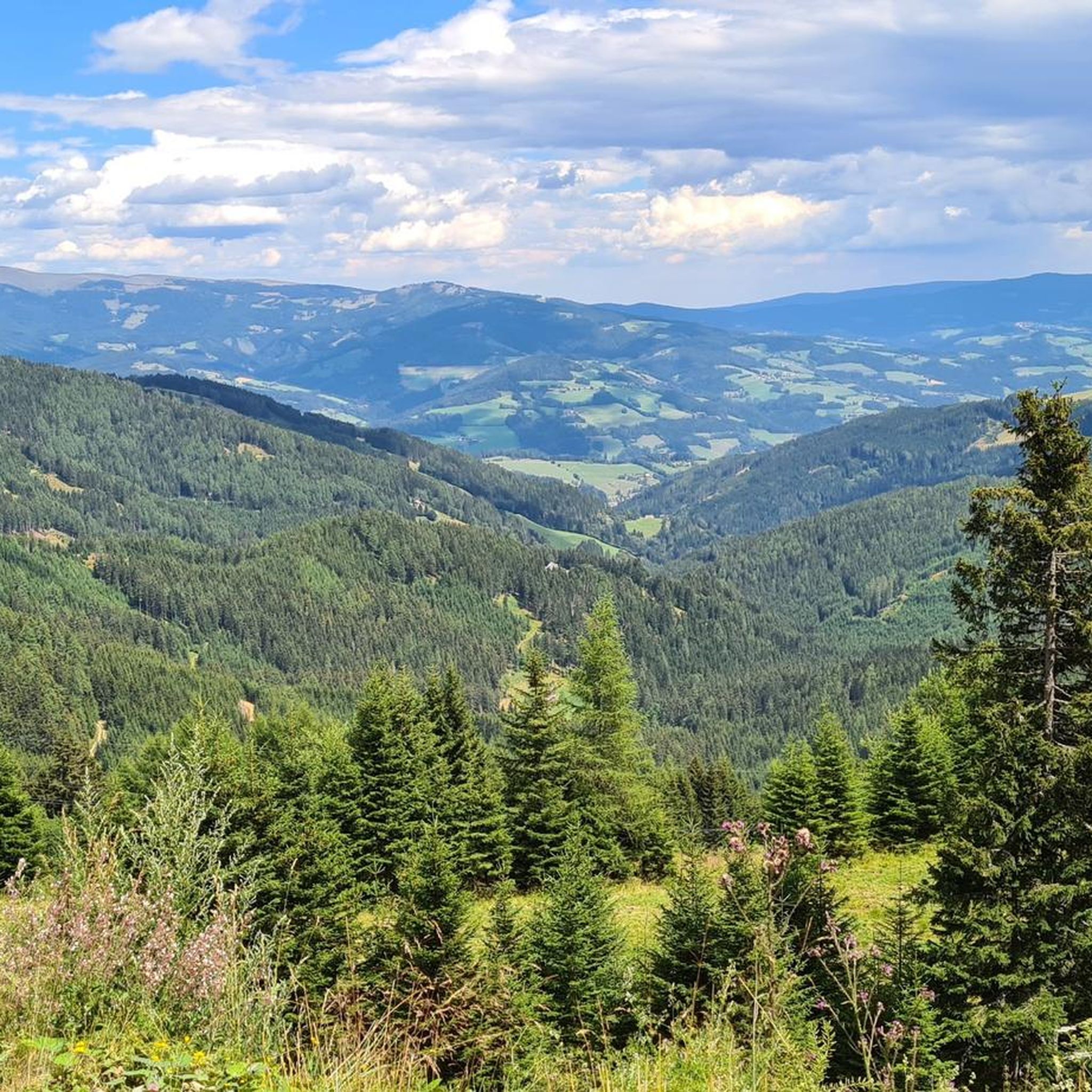
MTB Trails around Bad Sankt Leonhard im Lavanttal
Road Cycling Routes around Bad Sankt Leonhard im Lavanttal
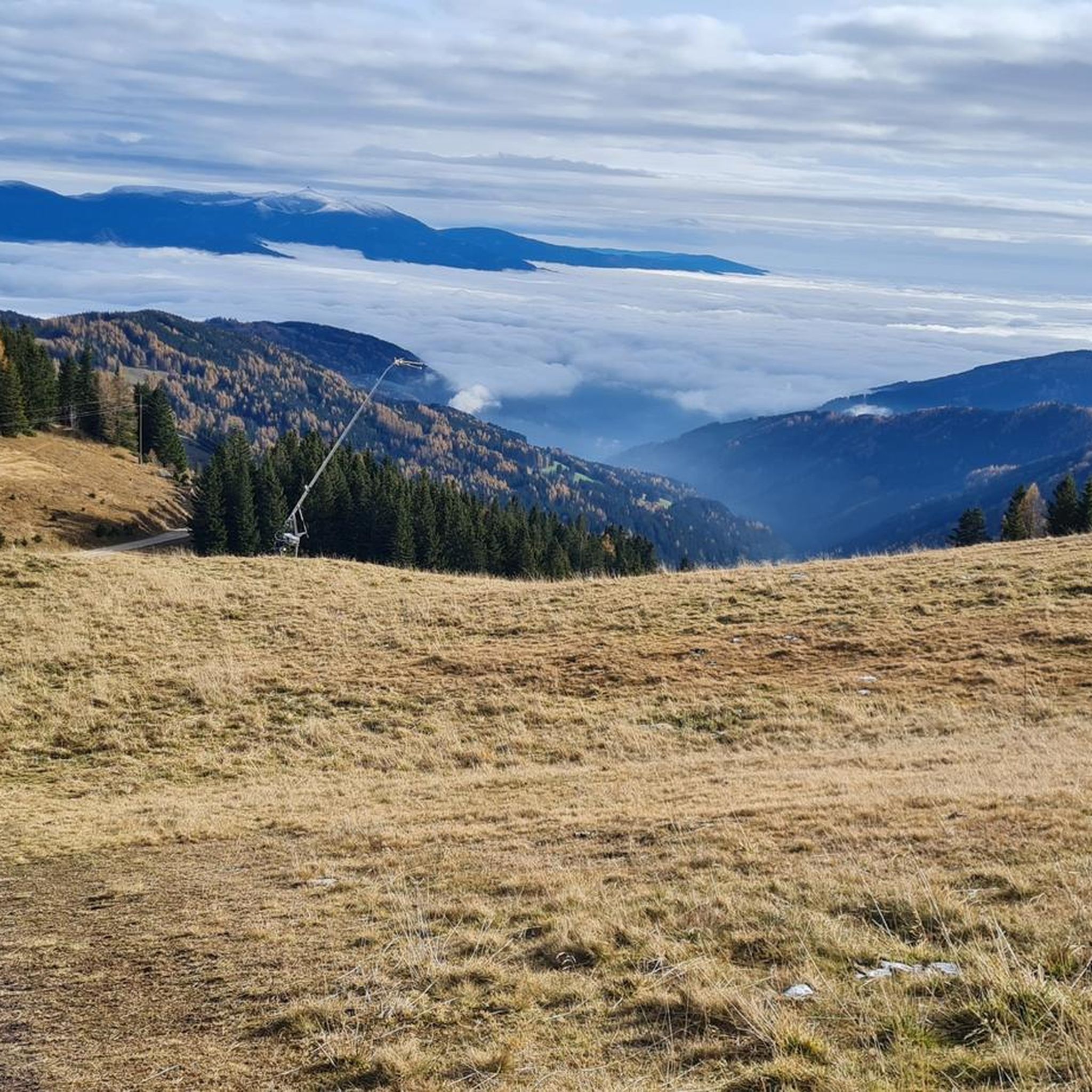
Running Trails around Bad Sankt Leonhard im Lavanttal
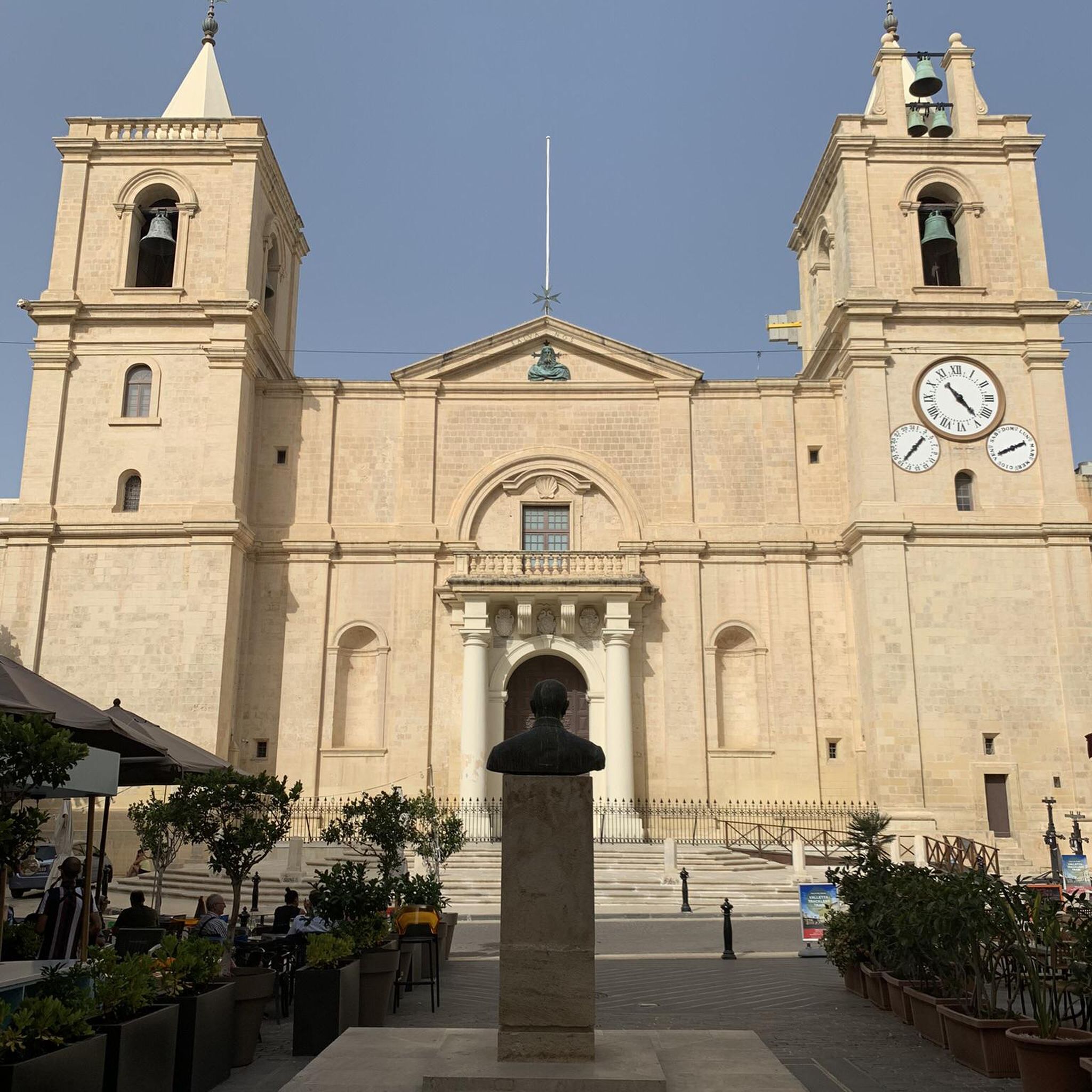
Mountain Hikes around Bad Sankt Leonhard im Lavanttal
Other adventures around Bad Sankt Leonhard im Lavanttal


Tips from the Community

Starting point for the Geierkogel. However, the Klippitztörl is not 1,842 m but only 1,642 m high.
0
0

At the fountain at the top of the pass, you can rinse the sweat from your face and fill your bottles.
0
0


The road to the Salzstiegelhaus is mostly asphalted, with about 3.5 kilometers of dirt road. The way up is also easy to ride on a racing bike, but the way down is probably a bit more difficult. Completely unproblematic with the CX. I encountered a few cars here, but the traffic was limited. The scenery is very beautiful, the gradient is very even.
0
0

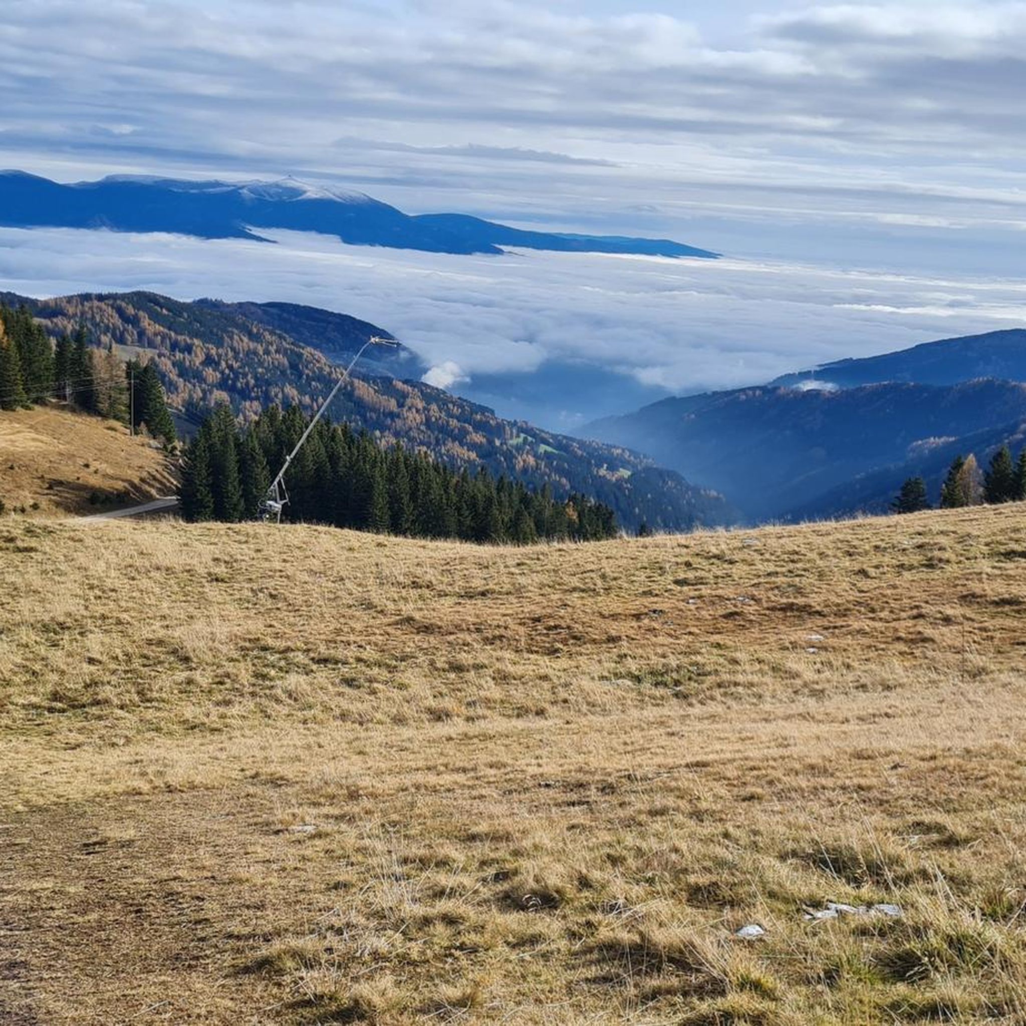
Fantastic view with a waterhole at the summit
0
0

With the racing bike in the direction of Preitenegg or on the Hebalm.
0
0
You could also turn right with the MB in the direction of Barbarahaus or Knödelhütte for a snack. The upper route is gravel.
0
0

The Pack... notorious as a motorcycle route, but also a very nice pass for cyclists. There are quite a few alternatives to the main road...
1
0
Frequently Asked Questions
What are the most notable mountain passes near Bad Sankt Leonhard im Lavanttal?
The region around Bad Sankt Leonhard im Lavanttal offers several significant mountain passes. Among them, the Packsattel Pass (1200 m) is a popular route for cyclists and motorcyclists. Another prominent pass is the Klippitztörl Pass at 1,842 m, known for its fantastic views. The Weinebene western ramp is also appreciated for its scenic ascent and hiking opportunities.
Are there specific mountain passes suitable for cycling or motorcycling?
Yes, the Packsattel Pass (1200 m) is particularly notorious and popular among motorcyclists and cyclists, offering alternative routes to the main road. The Klippitztörl Pass at 1,842 m also features cycle ways and is a great option for scenic rides.
What kind of views can I expect from the mountain passes in this region?
The mountain passes around Bad Sankt Leonhard im Lavanttal offer picturesque views of the surrounding Lavanttal region and the broader Austrian Alps. For instance, the Klippitztörl Pass at 1,842 m provides fantastic panoramic views. Many passes, including the Styria–Carinthia Border, serve as excellent viewpoints.
Are there hiking opportunities at the mountain passes?
Absolutely. The Weinebene western ramp is known for hiking opportunities available at the top of the pass. Additionally, the Hirschegger Straße, while primarily a road, also offers access to trails and beautiful scenery for walkers.
Can I find easy or family-friendly mountain passes around Bad Sankt Leonhard im Lavanttal?
While specific passes aren't categorized as 'family-friendly' in the data, the region offers a variety of hiking routes that include easy options. For example, the guide for Easy hikes around Bad Sankt Leonhard im Lavanttal features several routes, including the 'Hohenwart Hut – Lake Klippitz loop from Klippitztörl P3' which is rated easy.
What is the 'Pack' and how is it relevant to the region?
The 'Pack' refers to the Pack Saddle (Packabsattelung), a significant mountain road that connects the Lavanttal with the Styrian Voitsberg district. While not a traditional high mountain pass, it's a crucial and scenic route through the mountainous terrain, offering picturesque views and serving as an important transportation artery near Bad Sankt Leonhard im Lavanttal.
When is the best time to visit the mountain passes around Bad Sankt Leonhard im Lavanttal?
The best time to visit generally depends on your preferred activities. For cycling, motorcycling, and hiking, late spring through early autumn (May to October) typically offers the most favorable weather conditions. In winter, the Pack and other routes can experience significant snowfall, transforming the landscape into a winter wonderland, though this also presents challenging driving conditions.
Are there any specific routes or trails recommended near these passes?
Yes, the region offers various routes. For hiking, you can explore options in the Hiking around Bad Sankt Leonhard im Lavanttal guide, which includes routes like the 'Lake Klippitz – View of the Lavanttal Alps loop from Klippitztörl'. For gravel biking, the Gravel biking around Bad Sankt Leonhard im Lavanttal guide offers challenging routes such as the 'Kogelhütte – Koglerhütte loop from Klippitztörl'.
What are some popular activities near the Klippitztörl Pass?
Near the Klippitztörl Pass at 1,842 m, visitors can enjoy fantastic views and find a waterhole at the summit. It's a popular spot for cycling and serves as a starting point for various hiking routes, including moderate trails like the 'Lake Klippitz – View of the Lavanttal Alps loop'.
Where can I find a good viewpoint marking the border between Styria and Carinthia?
The Styria–Carinthia Border highlight, located at the Packsattel, is precisely this spot. It offers a viewpoint and provides access to routes towards Barbarahaus or Knödelhütte, with some upper routes being gravel.
What should I know about visiting the Weinebene western ramp?
The Weinebene western ramp is known for its scenic, beautiful, but quite demanding climb. It offers panoramic views from Carinthia and provides excellent hiking opportunities at the top of the pass, making it a great destination for those looking for an active experience.
Are there any tips for driving or cycling the Hirschegger Straße?
The Hirschegger Straße to the Salzstiegelhaus is mostly asphalted, with about 3.5 kilometers of dirt road. It's considered easy to ride on a racing bike for the ascent, though the descent might be more challenging. It's completely unproblematic with a CX bike. Traffic is generally limited, and the scenery is very beautiful with a very even gradient.
What are the challenges of visiting these passes in winter?
In winter, mountain passes like the Pack can experience significant snowfall. While this creates a beautiful winter wonderland, it also leads to challenging driving conditions. Visitors should be prepared for snow and ice, and check road conditions before traveling during the colder months.
Most popular routes around Bad Sankt Leonhard im Lavanttal
Most popular attractions around Bad Sankt Leonhard im Lavanttal

Get inspired with the komoot mobile app


Explore more
See even more epic mountain passes by checking out these guides around Bad Sankt Leonhard im Lavanttal:
