The best mountain hikes around Bad Sankt Leonhard im Lavanttal
4.8
(5)
90
hikers
8
hikes
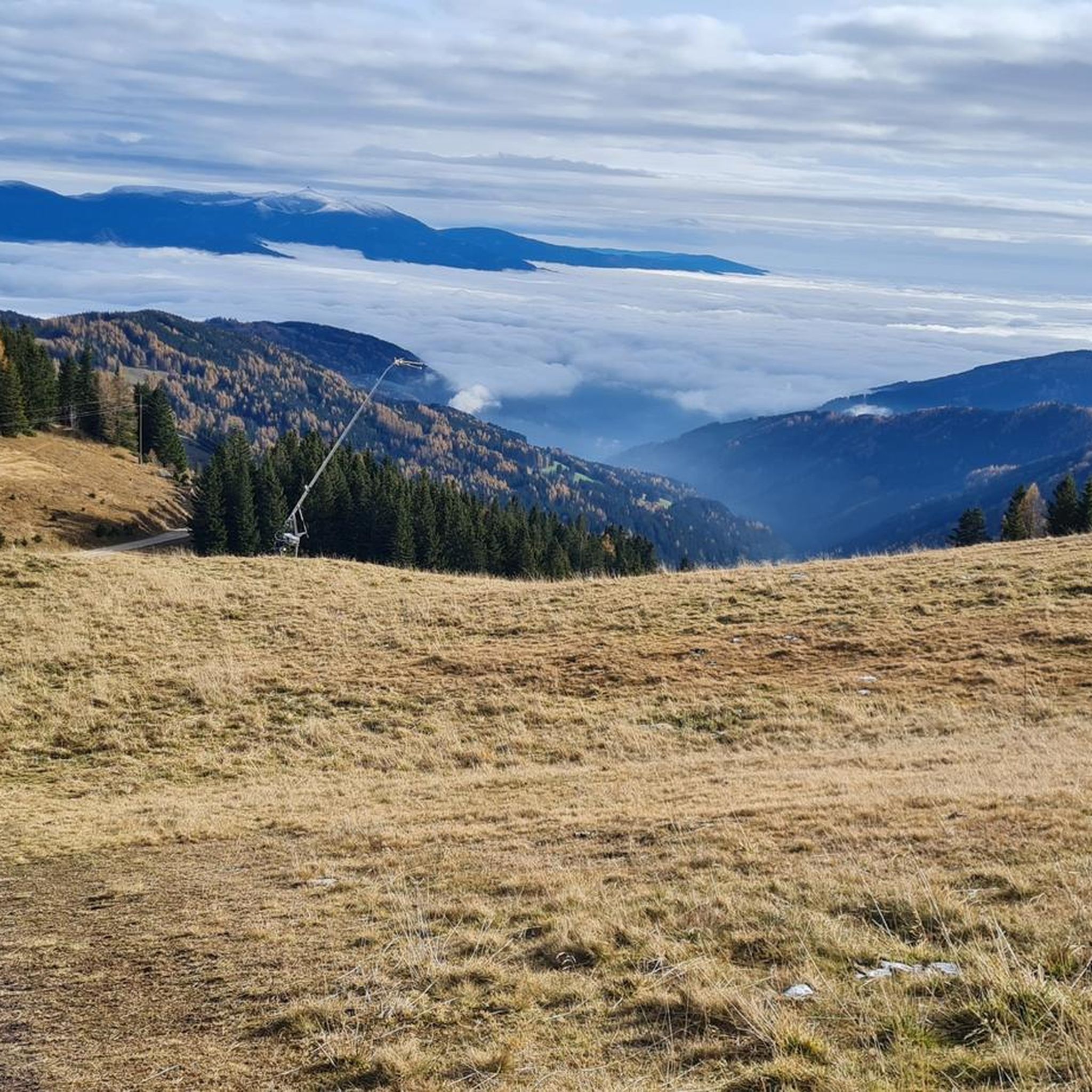
Mountaineering around Bad Sankt Leonhard im Lavanttal offers routes through the Lavanttal Alps, characterized by forested slopes, alpine meadows, and prominent peaks. The region provides a mix of challenging ascents and more moderate paths, often leading to panoramic viewpoints. These trails traverse varied terrain, from well-maintained paths to more rugged mountain tracks. The landscape is shaped by its mountainous topography, providing diverse conditions for mountaineering activities.
Best mountaineering routes around Bad Sankt Leonhard im Lavanttal
- The most popular mountaineering route…
Last updated: July 6, 2026
4.3
(3)
12
hikers
9.16km
03:17
410m
410m
Moderate mountaineering route. Good fitness required. Mostly accessible paths. Sure-footedness required.
5.0
(1)
15
hikers
6.93km
02:45
270m
270m
Moderate mountaineering route. Good fitness required. Mostly accessible paths. Sure-footedness required.

Sign up for free
12
hikers
Hard mountaineering route. Very good fitness required. Mostly accessible paths. Sure-footedness required.
11
hikers
8.41km
03:13
380m
380m
Moderate mountaineering route. Good fitness required. Mostly accessible paths. Sure-footedness required.
5.0
(1)
10
hikers
10.0km
04:15
640m
640m
Moderate mountaineering route. Good fitness required. Mostly accessible paths. Sure-footedness required.
Get access to more routes and recommendations from other explorers.
Sign up for free
Already have an account?
Our route recommendations are based on thousands of hikes, rides, and runs completed by other people on komoot.
Start today with a free account
Your next adventure awaits.
Login or Signup
Popular around Bad Sankt Leonhard im Lavanttal

Eisenwurzen Trail – Hiking through Austria from north to south

Magnificent mountain biking on Austria's alpine pastures
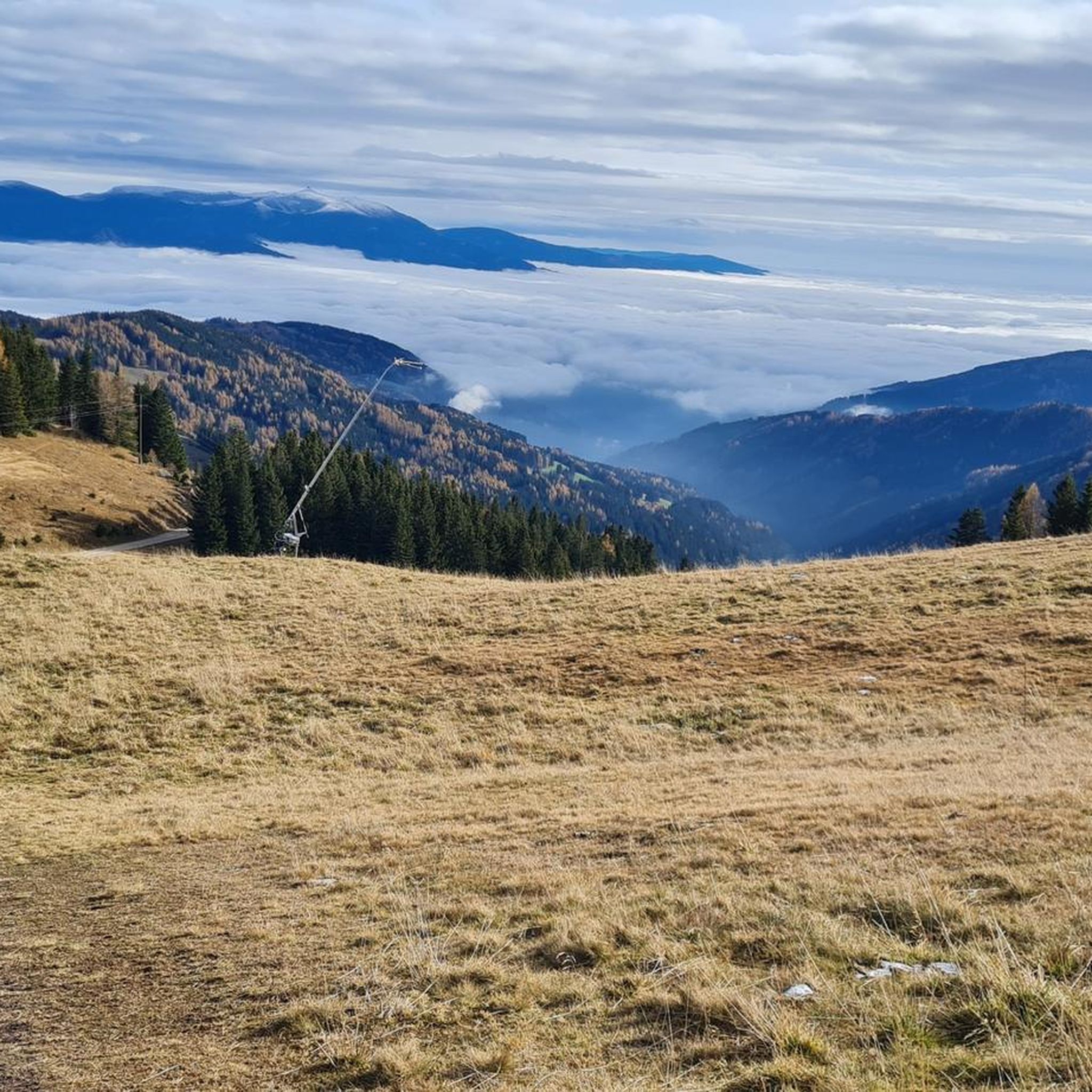
Hiking around Bad Sankt Leonhard im Lavanttal
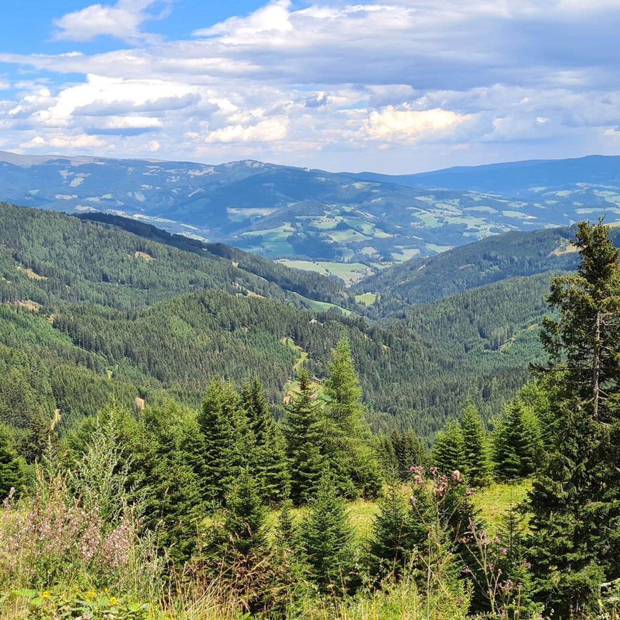
Cycling around Bad Sankt Leonhard im Lavanttal
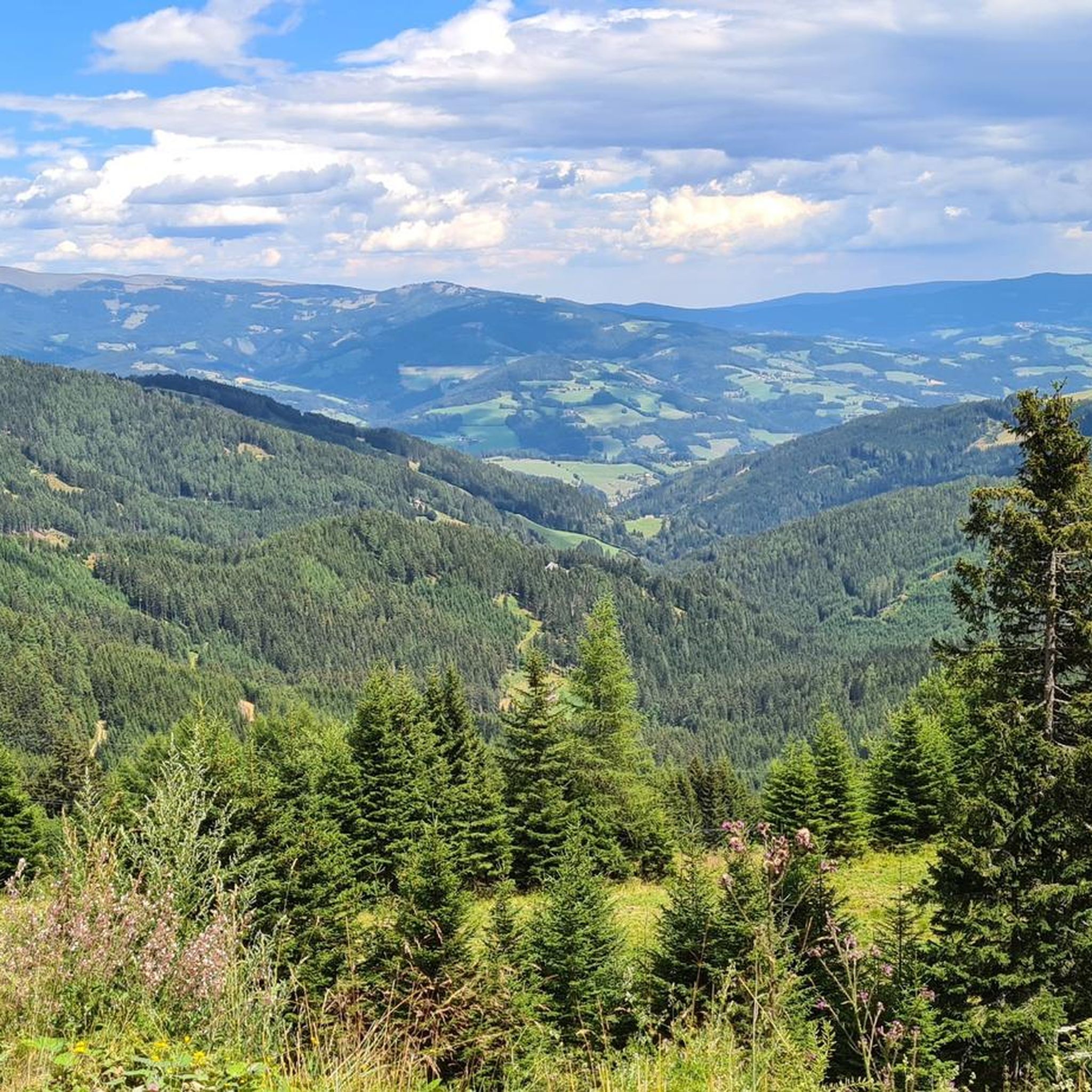
MTB Trails around Bad Sankt Leonhard im Lavanttal
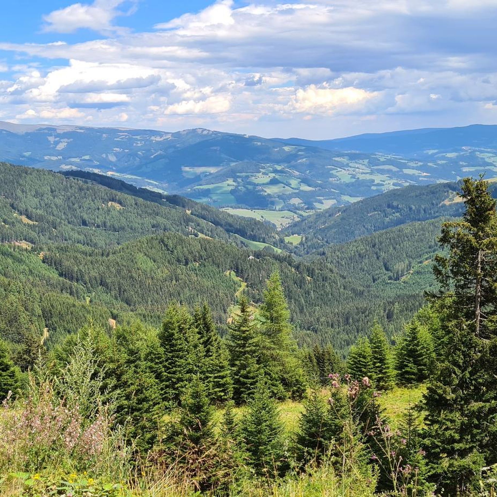
Road Cycling Routes around Bad Sankt Leonhard im Lavanttal
Running Trails around Bad Sankt Leonhard im Lavanttal
Other adventures around Bad Sankt Leonhard im Lavanttal


Tips from the Community

I enjoyed some good mushroom goulash here.
0
0
Even though the Salzstiegelhaus and Altes Almhaus are not far away, you should bring some fruit for your summit picnic.
0
0

The Klippitztörl is a pass that connects the Carinthian Lavanttal with the region around Althofen and is an ideal starting point for a tour to the Geierkogel 🏞️
13
0
The Geierkogel is a fantastic panoramic mountain on the Saualpe 😊 Once you reach the top, you will be treated to a wonderful view of the entire Lavanttal and the Görtschitztal 🌄 From the summit cross on the Geierkogel you can see the Zirbitzkogel to the north, the Gurktal Alps to the west, the Karawanks to the south and the Koralpe to the east ⛰️
16
0
From the car park directly at the top of the Klippitztörl pass, it is only about 300 metres in altitude and 2.5 kilometres to the Geierkogel, but the tour is highly recommended for every leisurely mountain hiker 🌄 The area on the Saualpe is a real hiking paradise, especially in summer or autumn 🦌🌲
16
0
The Klippitztörl is a pass that connects the Carinthian Lavanttal with the region around Althofen.
11
0
The Klippitztörl is a pass that connects the Carinthian Lavanttal with the region around Althofen 🏞️ The starting point for our tour was directly at the pass 🛣️ On September 7th, 2024 at 3:30 p.m. we started the mountain hike for the first time 😊
16
0
Although the mountain is not one of the most famous peaks, the fifth summit book is already half full 👍🏼
15
0
Frequently Asked Questions
What kind of terrain can I expect on mountaineering routes around Bad Sankt Leonhard im Lavanttal?
The routes in this region traverse varied terrain, from well-maintained paths to more rugged mountain tracks. You'll encounter forested slopes, alpine meadows, and prominent peaks, offering a diverse experience for mountaineers.
Are there any easy mountaineering routes suitable for beginners in Bad Sankt Leonhard im Lavanttal?
While all listed mountaineering routes are rated as moderate, many offer accessible distances and elevation gains that can be suitable for those with some hiking experience looking to step into mountaineering. For example, The Stone Guardian loop from Hirschegger Sattel is a shorter option at 4.6 km with 345 meters of ascent.
What is the typical distance and elevation gain for mountaineering routes in this area?
Mountaineering routes around Bad Sankt Leonhard im Lavanttal vary. You can find shorter loops like Geierkogel Summit Cross – View from Geierkogel loop from Klippitztörl, which is about 6.9 km with 266 meters of ascent, or longer, more demanding tours such as Speikkogel – Ameringkogel loop from Hirschegger Sattel, covering 14.2 km with 757 meters of elevation gain.
Are there any circular mountaineering routes available?
Yes, many of the mountaineering routes in Bad Sankt Leonhard im Lavanttal are designed as circular loops. A popular option is Gerti Gate – The Stone Guardian loop from Altes Almhaus, which offers a 9.2 km round trip with notable rock formations and alpine views.
What are some interesting landmarks or points of interest I might see along the mountaineering routes?
Along the routes, you can discover various points of interest. Many trails lead to prominent summit crosses, such as the Geierkogel Summit Cross, offering expansive views. You might also encounter unique rock formations like the Stone Guardian or Gerti Gate.
Are there mountain huts along the mountaineering trails in Bad Sankt Leonhard im Lavanttal?
Yes, the region features several mountain huts that can serve as rest stops or destinations. Notable huts include the Klippitztörlhaus, the Knödel Hut, and the Alpine inn "Old Alm House", providing opportunities for refreshments or overnight stays.
What do other mountaineers say about the routes in Bad Sankt Leonhard im Lavanttal?
The mountaineering routes in Bad Sankt Leonhard im Lavanttal are highly regarded by the komoot community, with an average rating of 4.8 stars. Users frequently praise the diverse landscapes, panoramic viewpoints, and the well-maintained nature of many paths.
How many mountaineering routes are available in Bad Sankt Leonhard im Lavanttal?
There are 8 mountaineering routes documented around Bad Sankt Leonhard im Lavanttal, all categorized as moderate difficulty, offering a good range of options for exploration.
Can I find routes that lead to mountain peaks in the area?
Absolutely. The region is known for its prominent peaks. Many routes offer ascents to summits like Rappoldkogel Summit or Gertrusk Summit, providing rewarding panoramic views.
Are there any less crowded mountaineering routes for a more secluded experience?
While specific crowd levels vary, exploring routes slightly off the most popular paths or visiting during off-peak times can offer a more tranquil experience. Consider routes that might not be highlighted in general guides, or explore the full range of options on komoot to find less frequented trails.
What is the best time of year for mountaineering in Bad Sankt Leonhard im Lavanttal?
The best time for mountaineering in this region is typically from late spring to early autumn (May to October), when the weather is generally stable, and trails are free of snow. Always check local weather conditions before heading out, as alpine weather can change rapidly.
Most popular routes around Bad Sankt Leonhard im Lavanttal
Most popular attractions around Bad Sankt Leonhard im Lavanttal

Get inspired with the komoot mobile app


Explore more
Browse the best Mountain Hikes & Routes in other regions.
