Top 20 Bike Parks around Mittelberg
Best bike parks around Mittelberg are found within the Kleinwalsertal region, which offers a variety of biking facilities and an extensive network of mountain bike trails. The area features a dedicated bike park, a pump track, and numerous scenic routes. These offerings cater to various skill levels, from beginners to experienced riders. Mittelberg serves as a base for exploring these diverse mountain biking opportunities.
Best bike parks around Mittelberg
- The most popular bike parks is Mittelberg High Trail, a…
Last updated: September 27, 2026
Hörnerbahn Summit Station
Highlight • Rest Area
Translated by Google •
Tip by

Heuberglift mountain station
Highlight • Rest Area
Translated by Google •
Tip by

Sign up now to discover places like this
Get recommendations on the best single tracks, peaks, & plenty of other exciting outdoor places.
Singletrack Lochbachtal–Rohrmoos (Nagelfluhkette Nature Park)
Highlight (Segment) • Trail
Translated by Google •
Tip by

Lech–Warth Mountain Bike Trail (S2/S3)
Highlight (Segment) • MTB Park
Translated by Google •
Tip by

Steep Descent to Osterbach Trail
Highlight (Segment) • Trail
Translated by Google •
Tip by

Sign up for free to discover even more bike parks around Mittelberg.
Already have an account?
Start today with a free account
Your next adventure awaits.
Popular around Mittelberg
Allgäu Panorama Marathon – Ultra: Two Days Trailrunning-Adventure
Walser Ultra Trail – 2 days trail running in Austria's Kleinwalsertal

Ibex Tour extended – Crossing the Allgäu Alps

The Best of Allgäu – Tour around Oberallgäu

Min Weag long-distance hiking trail – From Lake Constance to the Alps
The mirrors of the mountains – hiking the alpine lakes of Warth-Schröcken
On foot into a sea of colour – autumn in Kleinwalsertal
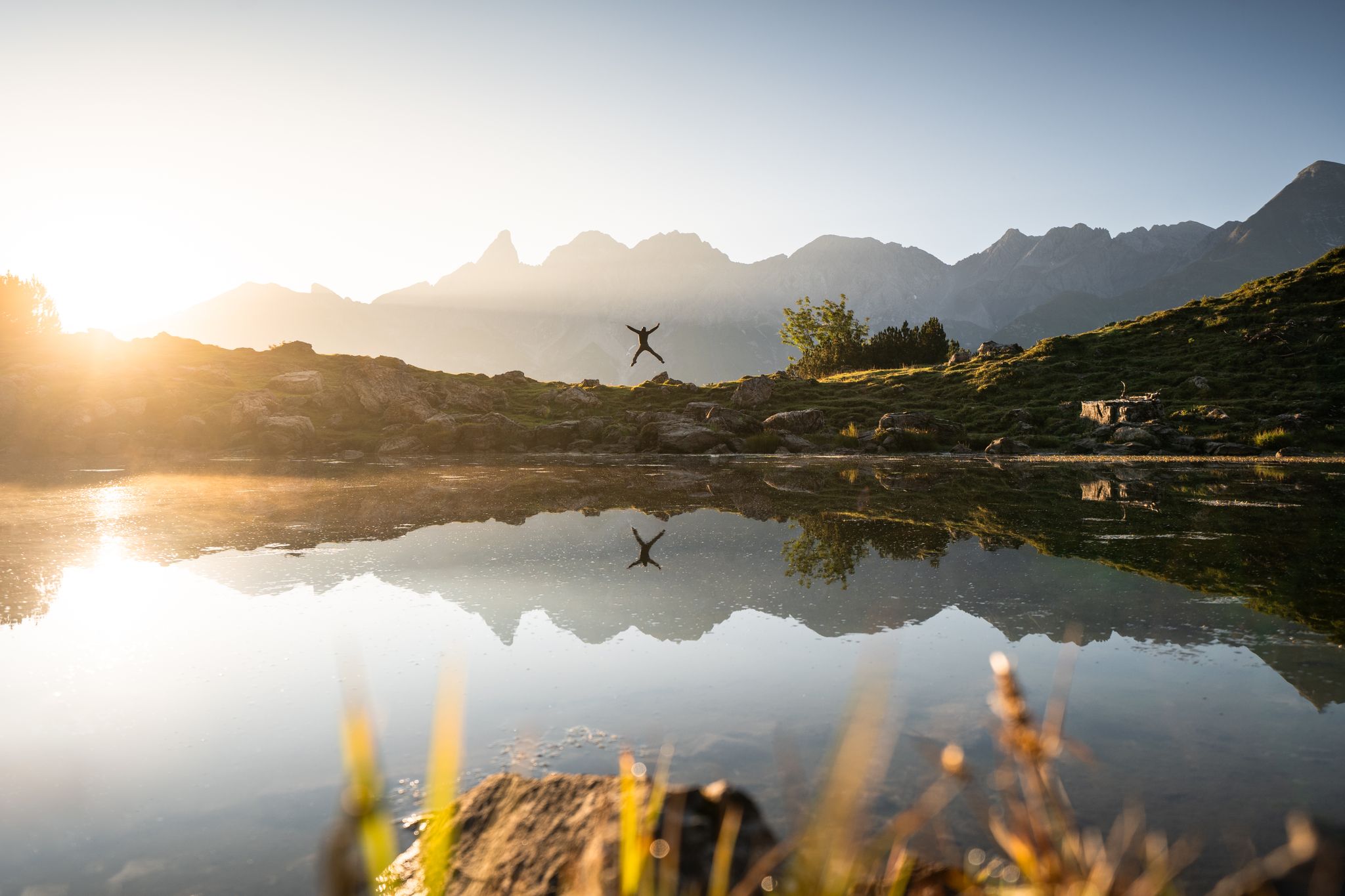
Hiking in Oberstdorf – experience the Allgäu Alps at your own pace
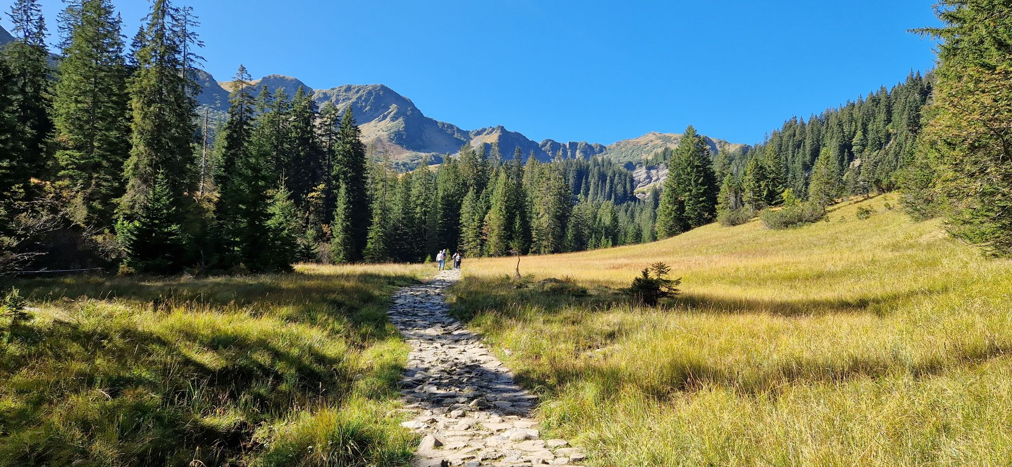
Natural beauties compact - Kleinwalsertal & Bregenzerwald
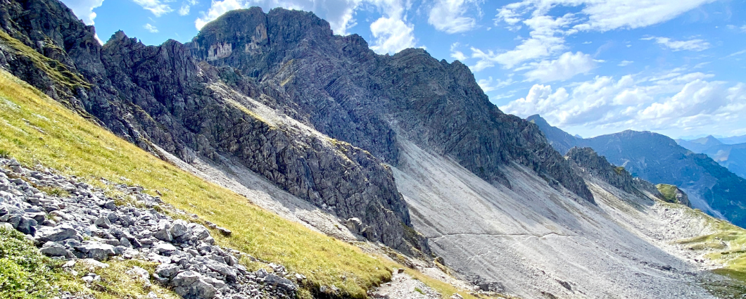
Three peaks, two countries, two days – border hike in the Kleinwalsertal
Other adventures around Mittelberg


Tips from the Community

From the mountain station, you can take a variety of tours. This is also the starting point for the mountain cars.
3
0

When I reached the bottom, I took a deep breath and after about a minute, I felt my hands again. The surprisingly hidden large stones are sharp and can easily dislodge the front wheel.
1
0

Take a leisurely ride up the mountain with the Heubergbahn and then you can continue hiking on the panoramic trail.
9
1

From up here it is only a piece of cake to the Bolsterlanger summit cross
2
0

One way ahead - you will have to push/carry here - probably nobody can drive through everything here - but it's not that far - as an experienced biker you shouldn't be put off - but with panniers, etc., it's better to stay on the road
4
0

@Olaf: this stretch is marked as S2/S3 with some sliding sections. That means: S2 downhill (red) and S3 (black) uphill. And yes, very good MTB trail technicians do it consistently, I know a few. Good MTB riders ride this 95% and only push 5%. I also described that above. and documented with numerous photos. So nothing for pure forest road riders or trekking bikes. I myself only drive safely S1, and sometimes also simple S2. I often push. I have often come across difficulties that were not so obvious before, and after tedious pushing and carrying work, I have documented them and pointed out the difficulties that others might face. Same here. The route was previously entered in the OSM map as S2 and when planning with komoot the message appears: "Advanced driving technique required". Since I was surprised that that alone wasn't enough, I created this highlight in 2019 with the clear indication that it had to be pushed and sometimes even carried. Nevertheless, I found this route nice and worthwhile because you avoid the very busy pass road. It was okay that I had to get out of my comfort zone with my almost 60 years and being overweight. It should be clear to everyone that after rain with very soft ground, a path may be much more difficult to drive/push/carry. Mountain bikers often ride paths that are not consistently rideable and are willing to push a bit if their ability or their willingness to take risks is overwhelmed. Anyone who dares to tackle real MTB terrain should know the single trail scale and be able to assess themselves accordingly, read the komoot classification of the trail and study the highlights - if available - in advance. Here the key points are even illustrated by me in large numbers. So you know what you're getting yourself into. You obviously usually ride gravel bikes, you probably rented e-MTBs here. Have you looked at the pictures of this highlight beforehand? If you overdo it on an S2/S3 path, you may be putting yourself in danger, will curse, and won't do it again. Happened to me when I was young when I was mountaineering and had to pay for an expensive helicopter rescue. Maybe you have to admit the mistake of not having informed yourself sufficiently beforehand. The hazard warnings were there. https://www.singletrail-skala.de/
4
2

You have the opportunity to cope with the difference in altitude by train. There is also the option of walking just part of the way. The view from here is magnificent. You can tackle the descent with a Kettcar. Behind the mountain station is the ascent to the Bolsterlanger Horn (walking time a good 5-10 minutes). This one is rooted and a bit demanding.
4
0

I drove up the path myself, and I have to say that it should only be driven down for experienced mountain bikers.
1
0
Frequently Asked Questions
What types of bike parks and trails can I find in the Kleinwalsertal region around Mittelberg?
The Kleinwalsertal region offers a diverse range of biking facilities. You'll find dedicated bike parks like the Hirschegg-Au Bike Park with its Northshore trail, a Pumptrack in Mittelberg for all ages and skill levels, and an extensive network of mountain bike trails. These trails range from easy, family-friendly routes to challenging singletracks for experienced riders.
Is there a pump track available in Mittelberg?
Yes, the Pumptrack Mittelberg is located directly at the Walmendingerhornbahn car park. It features waves, steep curves, and jumps, suitable for bikes, scooters, or inline skates. It's free to use with your own equipment and open daily from 9:00 AM to 8:00 PM during the snow and ice-free period.
Are there any beginner-friendly bike trails or parks in the area?
Absolutely. The Hirschegg-Au Bike Park is an excellent spot for beginners to develop skills on single trails. Additionally, the Mittelberg High Trail is a well-developed gravel path with no technical challenges, making it suitable for various riders, including beginners. The Breitachweg, at 6.7 km, is also suitable for beginners.
Which trails offer challenging terrain for advanced mountain bikers?
For advanced riders seeking a challenge, consider the Singletrack Lochbachtal–Rohrmoos (Nagelfluhkette Nature Park), which is known for being stony and washed out in parts. The Lech–Warth Mountain Bike Trail (S2/S3) is also very demanding, featuring rooted, stony sections, and requiring some pushing or carrying of the bike.
Can I transport my bike using the cable cars in Kleinwalsertal?
Yes, several summer cable cars in the Kleinwalsertal region offer bike transport. These include the Heuberg, Zaferna-Lift, and Söllereck cable cars, making it easier to reach higher elevations and enjoy longer descents. For example, the Heuberglift mountain station allows bike transport for a small fee.
What are the best times to visit Mittelberg for biking?
The best time to visit Mittelberg for biking is during the snow and ice-free period, typically from spring through autumn. The Pumptrack Mittelberg, for instance, operates daily during these months. This period ensures optimal trail conditions and access to all facilities.
Are there any scenic viewpoints accessible by bike or near bike trails?
Many trails in the region offer stunning views. The Mittelberg High Trail provides beautiful views of the valley landscape. From the Hörnerbahn Summit Station, accessible by lift, you get a magnificent view of the Oberstdorf valley and surrounding mountains.
What other outdoor activities can I do near the bike parks in Mittelberg?
Beyond bike parks, Mittelberg is a great base for various outdoor activities. You can explore numerous hiking trails, from easy walks like the Roaring water in the Breitachklamm to challenging routes like the Ridge hike on the Fellhorn. There are also extensive road cycling and touring bicycle routes available. For more details, check out the Hiking around Mittelberg, Road Cycling Routes around Mittelberg, and Cycling around Mittelberg guides.
Are there bike rental services or guided tours available in the Kleinwalsertal region?
Yes, the region provides excellent support infrastructure for cyclists. You can rent e-bikes and mountain bikes locally. Additionally, bike schools offer technique courses, and professional guides lead both full-day and half-day tours tailored to individual wishes and abilities.
What kind of support infrastructure is available for mountain bikers in Kleinwalsertal?
The Kleinwalsertal region offers a free bike map from the tourism office detailing nine tours. You'll also find numerous huts with bike service stations, bike schools offering technique courses, and guided tours. Bike rentals are also readily available.
What do visitors particularly enjoy about the bike parks and trails around Mittelberg?
Visitors appreciate the fascinating mountain panorama and the diverse trails that cater to all skill levels. Many enjoy the well-developed paths with great views, the option to use mountain carts for descents from summit stations, and the overall variety of experiences, from flowing singletracks to challenging routes.
Most popular routes around Mittelberg
Most popular attractions around Mittelberg

Get inspired with the komoot mobile app


Explore more
Still looking for your perfect bike park? Check out our guides in these places:
