The best walks and hikes around Mittelberg
4.6
(32952)
136,974
hikers
350
hikes
Hiking around Mittelberg offers diverse terrain, ranging from 1,100 to 2,500 meters in elevation. The region features imposing peaks, natural forests, serene valleys like Wildental and Gemsteltal, and expansive alpine meadows. A notable natural feature is the Breitach Gorge, one of Europe's deepest rocky gorges, where the Breitach river carves through high rock walls. Prominent mountains such as Fellhorn and Walmendingerhorn provide extensive views.
Best hiking trails around Mittelberg
- The most popular hiking route is Roaring water in the Breitachklamm…
Last updated: October 5, 2026
4.7
(1114)
4,031
hikers
10.3km
03:49
510m
510m
Embark on a moderate ridge hike on the Fellhorn, a 6.4-mile (10.3 km) round trip from the Kanzelwand in the Allgäu Alps. This route offers continuous panoramic views of the…
4.8
(1790)
7,674
hikers
5.98km
01:51
220m
220m
Easy hike. Great for any fitness level. Easily-accessible paths. Suitable for all skill levels.

4.8
(1631)
6,222
hikers
16.3km
06:27
870m
880m
Hard hike. Very good fitness required. Mostly accessible paths. Sure-footedness required.
4.7
(1131)
4,166
hikers
4.86km
01:28
170m
170m
Easy hike. Great for any fitness level. Easily-accessible paths. Suitable for all skill levels.
4.8
(995)
3,661
hikers
8.35km
03:08
220m
780m
Moderate hike. Good fitness required. Mostly accessible paths. Sure-footedness required.
Get access to more routes and recommendations from other explorers.
Already have an account?
Our route recommendations are based on thousands of hikes, rides, and runs completed by other people on komoot.
Start today with a free account
Your next adventure awaits.
Popular around Mittelberg

Ibex Tour extended – Crossing the Allgäu Alps

The Best of Allgäu – Tour around Oberallgäu

Min Weag long-distance hiking trail – From Lake Constance to the Alps
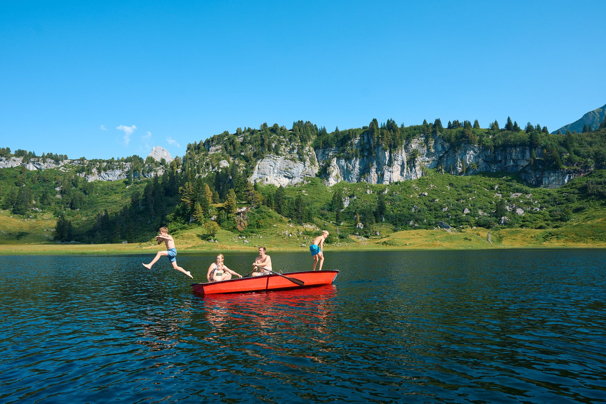
The mirrors of the mountains – hiking the alpine lakes of Warth-Schröcken
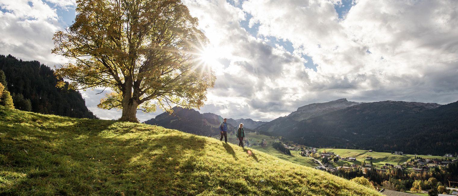
On foot into a sea of colour – autumn in Kleinwalsertal
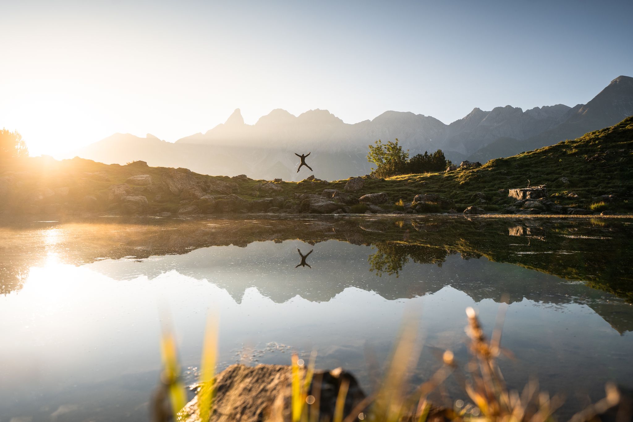
Hiking in Oberstdorf – experience the Allgäu Alps at your own pace
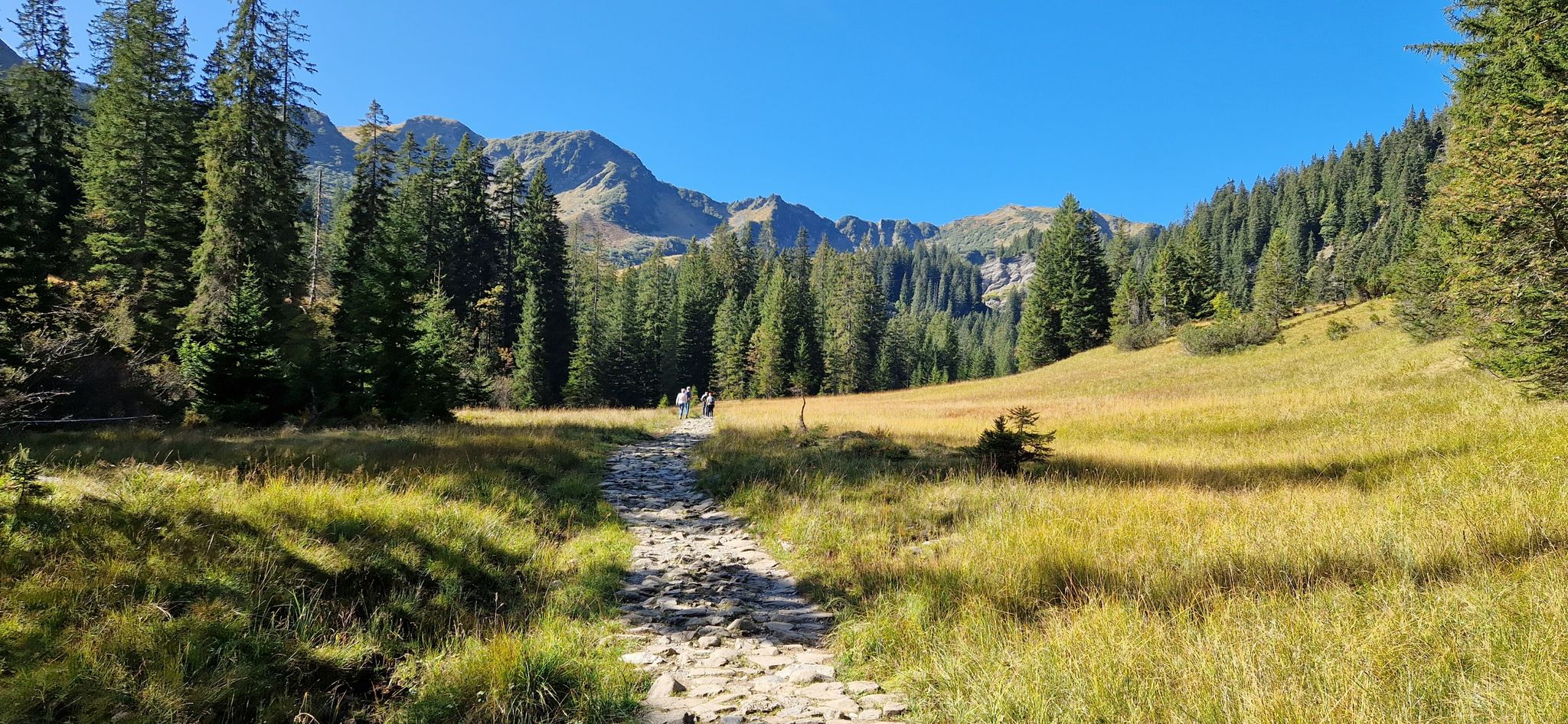
Natural beauties compact - Kleinwalsertal & Bregenzerwald
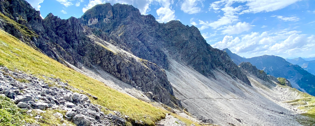
Three peaks, two countries, two days – border hike in the Kleinwalsertal
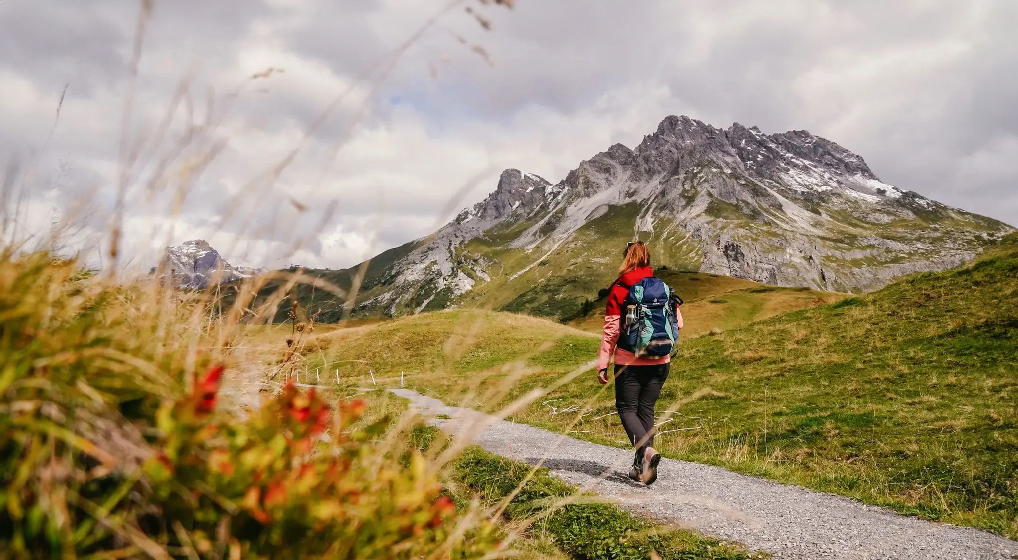
Vorarlberg in autumn – the 6 most beautiful hikes in the golden season
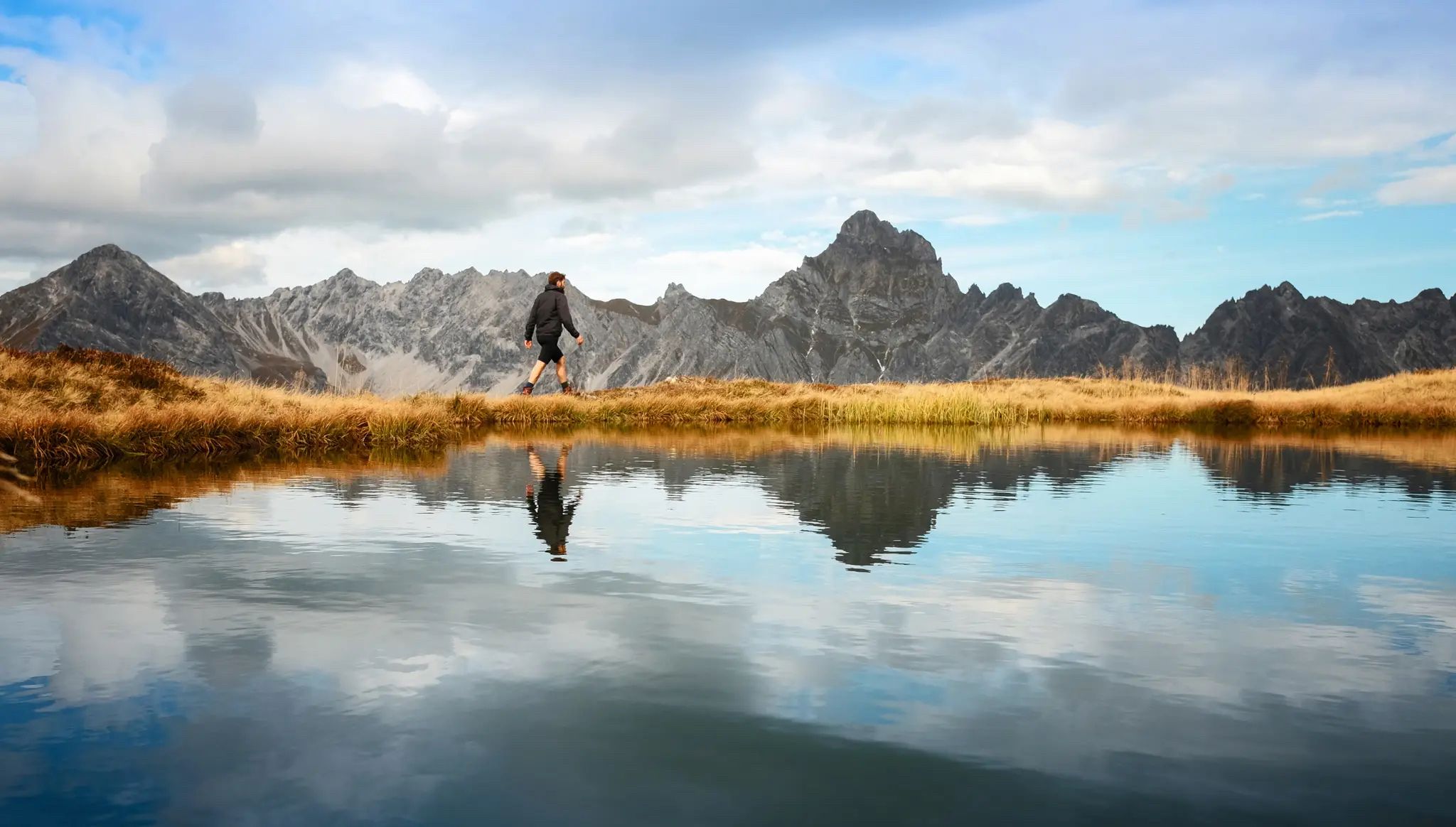
Golden season – autumn hikes in Vorarlberg
Other adventures around Mittelberg


Tips from the Community

Great view and panorama with Murmlers
1
0

The Breitachklamm near Oberstdorf in the Allgäu region, with a depth of around 150 meters, is the deepest rocky gorge in Central Europe and has been officially named the "Natural Wonder of the Year 2025". The impressive geological site extends across the Tiefenbach district of Oberstdorf into the Austrian Kleinwalsertal valley. A well-secured, approximately 2.5-kilometer-long hiking trail leads directly past the roaring masses of water.
13
0

One of the most beautiful ridge hikes ever. The most beautiful section is between Fellhorn and Söllereck.
14
0

Start early in very nice weather.
0
0

⚠️ For anyone planning to take this route by mountain bike: We went from Warth to Mittelberg over the pass, which worked out fine… However, be prepared for hours of carrying your bike, which isn't entirely safe.
0
0

Simply a fantastic hike! Since I'm not good with heights, I was skeptical, but I had no problems! Two sections after the Fellhorngipfel were secured with ropes, but not dangerous. In dry conditions and with good footwear, an absolute recommendation!
7
1

A very scenic tour in the Oberstdorf mountains.
4
0

A well-maintained ridge hiking trail with stunning views of the Kleinwalsertal and Illertal valleys. The trail is also suitable for children and large dogs. Sturdy footwear is recommended, especially in wet weather.
4
0
Frequently Asked Questions
How many hiking trails are available in Mittelberg?
Mittelberg offers an extensive network of over 350 well-signposted hiking trails. These routes cater to all abilities, from easy walks through serene valleys to challenging full-day excursions across alpine terrain.
What types of landscapes can I expect to see while hiking in Mittelberg?
Hikers in Mittelberg will experience a diverse range of landscapes, from elevations of 1,100 to 2,500 meters. You can explore imposing peaks, natural forests, tranquil valleys like Wildental and Gemsteltal, and expansive alpine meadows. The region is also home to the dramatic Breitach Gorge, one of Europe's deepest rocky gorges.
Are there any easy, family-friendly hikes in Mittelberg?
Yes, Mittelberg has over 140 easy routes perfect for families. A popular choice is Roaring water in the Breitachklamm, an easy 3.7-mile trail through the impressive Breitach Gorge, offering a unique natural experience suitable for most ages. Another option is the Bärgunttal Loop – Kleinwalsertal, a pleasant 3-mile hike.
What are some highlights or natural attractions to see on a hike?
Mittelberg is rich in natural attractions. You can visit the breathtaking Breitach Gorge, explore idyllic mountain lakes like Freibergsee or Lower Gaisalp Lake, and enjoy panoramic views from peaks such as Fellhorn Summit or Walmendinger Horn.
Are there any circular hiking routes in the area?
Yes, many routes in Mittelberg are circular, allowing you to start and end at the same point. For a moderate challenge with stunning views, consider the Ridge hike on the Fellhorn, round trip from the Kanzelwand, which is a 6.4-mile loop showcasing vibrant alpine flora.
What is the best time of year to go hiking in Mittelberg?
Mittelberg is excellent for hiking from spring through autumn, with summer offering lush alpine meadows and refreshing waterfalls. The region also provides 50 km of prepared winter hiking trails for snowshoeing and enjoying the snow-covered mountains, making it a year-round destination for outdoor enthusiasts.
Are there options for more challenging hikes with significant elevation gain?
Absolutely. Mittelberg features 65 difficult routes for experienced hikers. A notable challenging trail is Around the Widderstein — Kleinwalsertal for nature lovers, a 10.1-mile route leading through alpine landscapes and around the prominent Widderstein peak, often taking over six hours to complete.
Can I access higher elevations easily in Mittelberg?
Yes, Mittelberg is well-equipped with eight lifts and cable cars, such as the Walmendingerhorn cable car, which provide quick access to higher elevations. This makes many high-altitude trails more accessible and allows hikers to enjoy spectacular panoramic views with less initial ascent.
Are there mountain huts or places to stop for refreshments along the trails?
Yes, the area is well-equipped with numerous mountain huts that serve as excellent resting points and often offer local culinary experiences. The Schwarzwasser Hut is a popular example, and you can find it as a destination on routes like Auenhütte via the Melköde to the Schwarzwasserhütte.
What do other hikers say about the trails in Mittelberg?
The hiking trails in Mittelberg are highly rated by the komoot community, with an average score of 4.6 stars from over 28,000 reviews. Hikers frequently praise the diverse terrain, the stunning natural features like the Breitach Gorge, and the well-maintained trail network that caters to all skill levels.
Are there any trails that showcase alpine flowers?
Yes, Mittelberg is known for its vibrant alpine flora. The ridge path on Fellhorn Summit is particularly noted for its alpine blossoms. Additionally, an Alpine flower trail from the Walmendingerhorn mountain station offers a variety of colorful flowers and views, especially in spring.
Most popular routes around Mittelberg
Most popular attractions around Mittelberg

Get inspired with the komoot mobile app


Explore more
Browse the best Hikes in other regions.
