Top 5 Mountain Passes around Schriesheim
Best mountain passes around Schriesheim offer a variety of elevated routes and trails in the foothills of the Odenwald forest. These routes provide significant elevation changes and scenic experiences for outdoor activities. The area features challenging climbs and rewarding views across hills and mountains. Schriesheim serves as a starting point for exploring the natural beauty of the Odenwald and Bergstraße regions.
Best mountain passes around Schriesheim
- The most popular mountain pass is Shrine at the Kalter Herrgott, a man-made…
Last updated: August 17, 2026
Shrine at the Kalter Herrgott
Highlight • Monument
Translated by Google •
Tip by

Kreidacher Höhe (430m) - Odw. 🚴♂️
Highlight • Mountain Pass
Translated by Google •
Tip by

Sign up now to discover places like this
Get recommendations on the best single tracks, peaks, & plenty of other exciting outdoor places.
Sign up for free
Münchel Pass and Shelter
Highlight • Mountain Pass
Translated by Google •
Tip by

Descent from the Münchel Pass to Ziegelhausen
Highlight (Segment) • Trail
The route over the Münchelpass is the old connecting road from Ziegelhausen to Schönau
Translated by Google •
Tip by

Gentle Ascent to Münchelpass
Highlight (Segment) • Mountain Pass
Translated by Google •
Tip by
Start today with a free account
Your next adventure awaits.
Login or Signup
Popular around Schriesheim
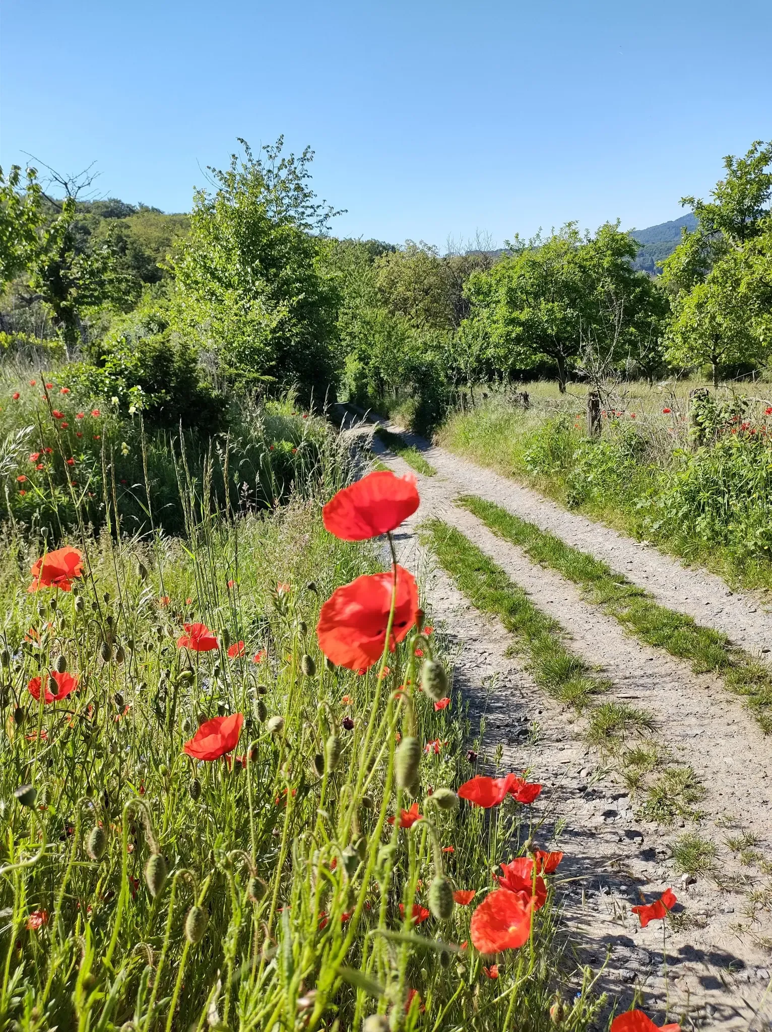
Bergsträßer Blütenweg – Between vines and flowers
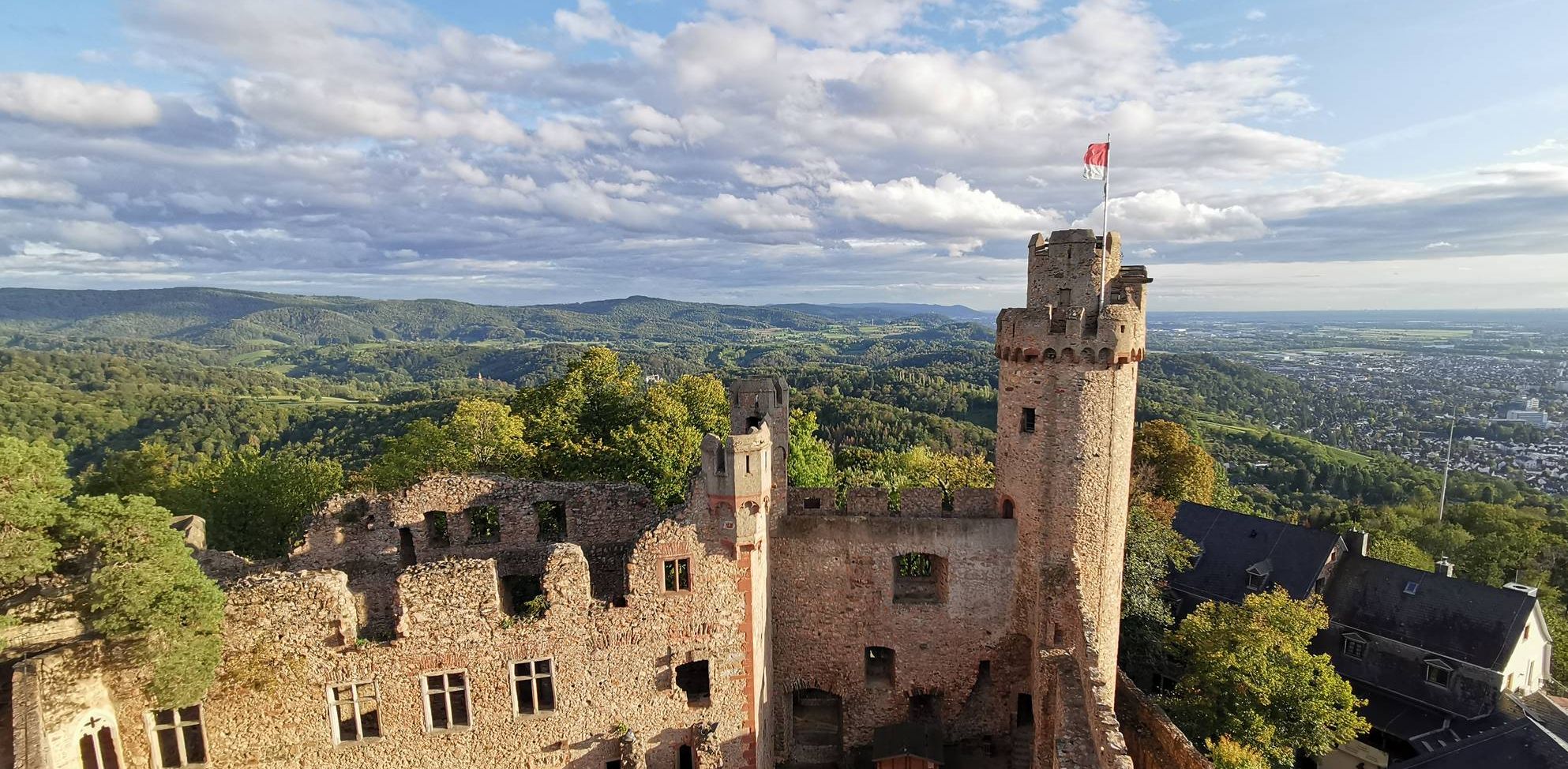
Burgensteig Bergstraße – In the footsteps of knights, hiking in 9 stages
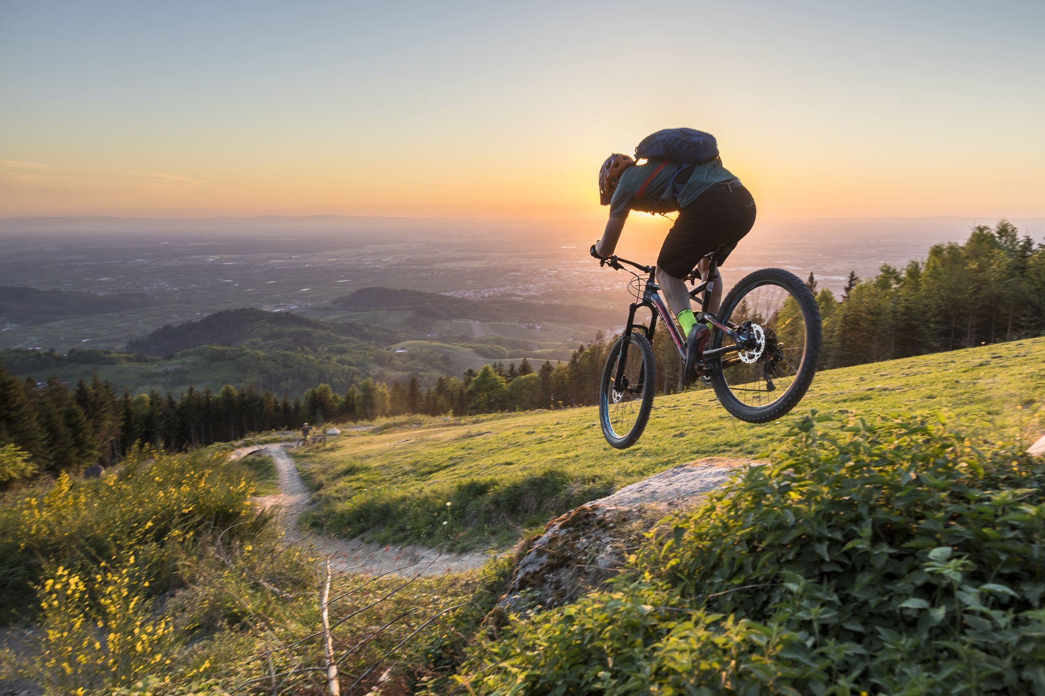
MTB flow in BW! Trails from the Schwarzwald to the Odenwald
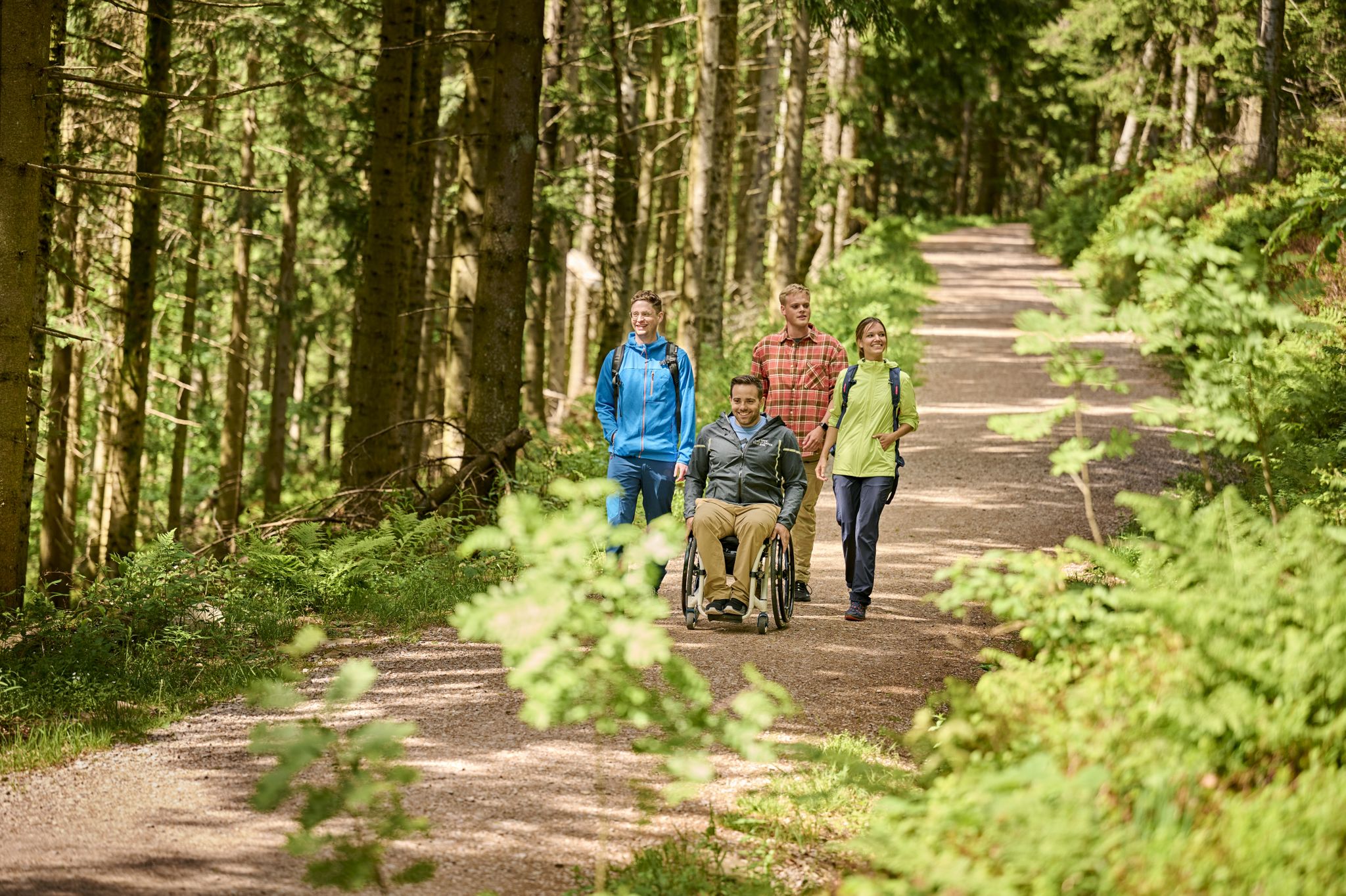
Accessible hiking routes in Baden-Württemberg
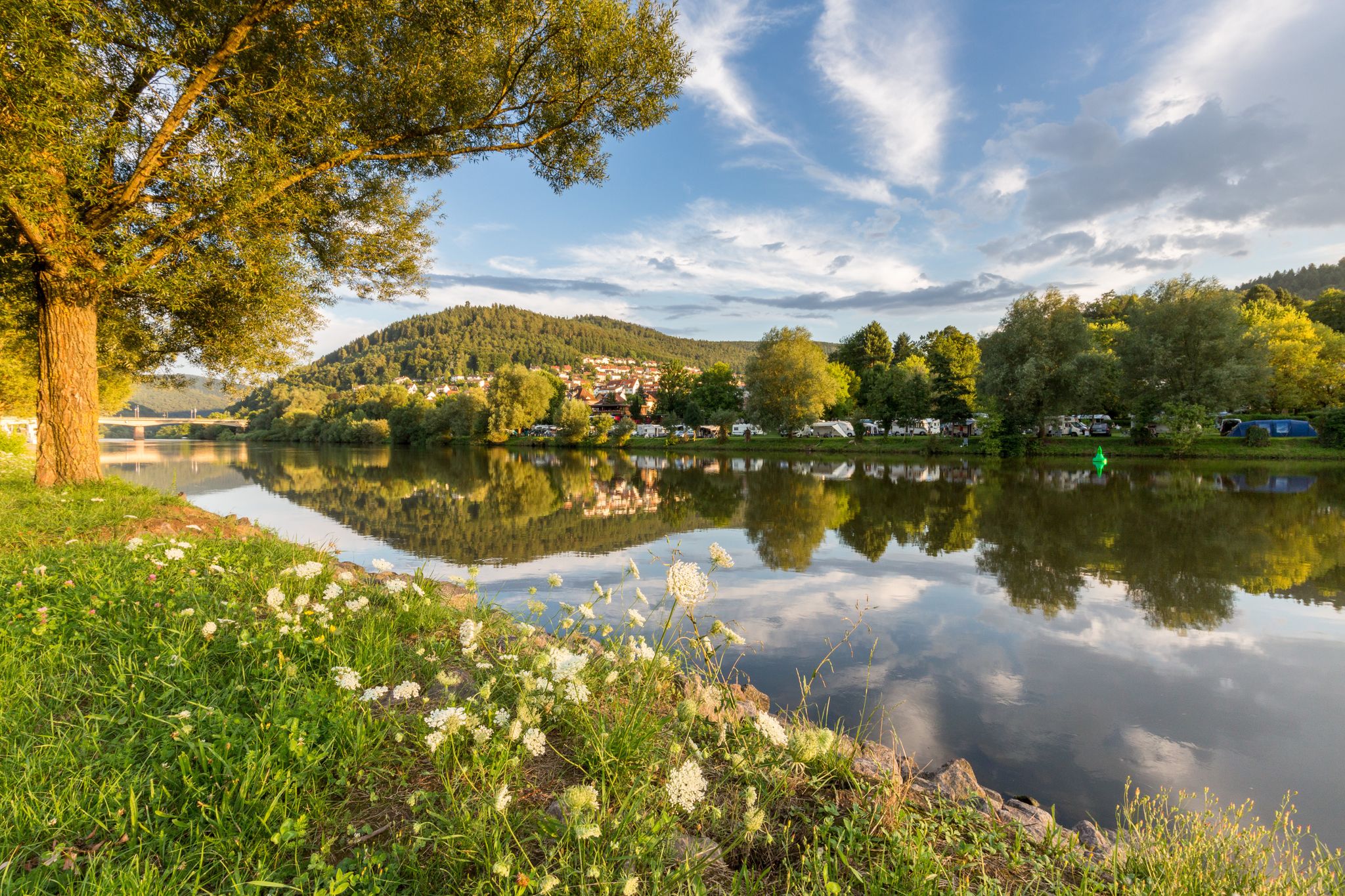
Experience nature – hiking in the Odenwald and Neckar Valley
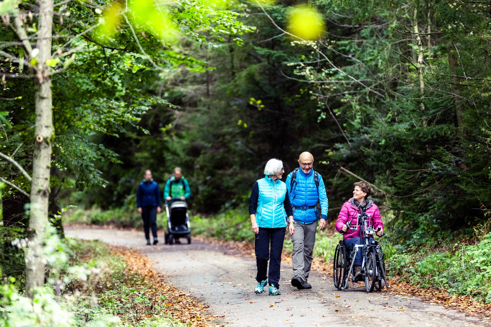
Komfort-Wanderwege im Naturpark Neckartal-Odenwald
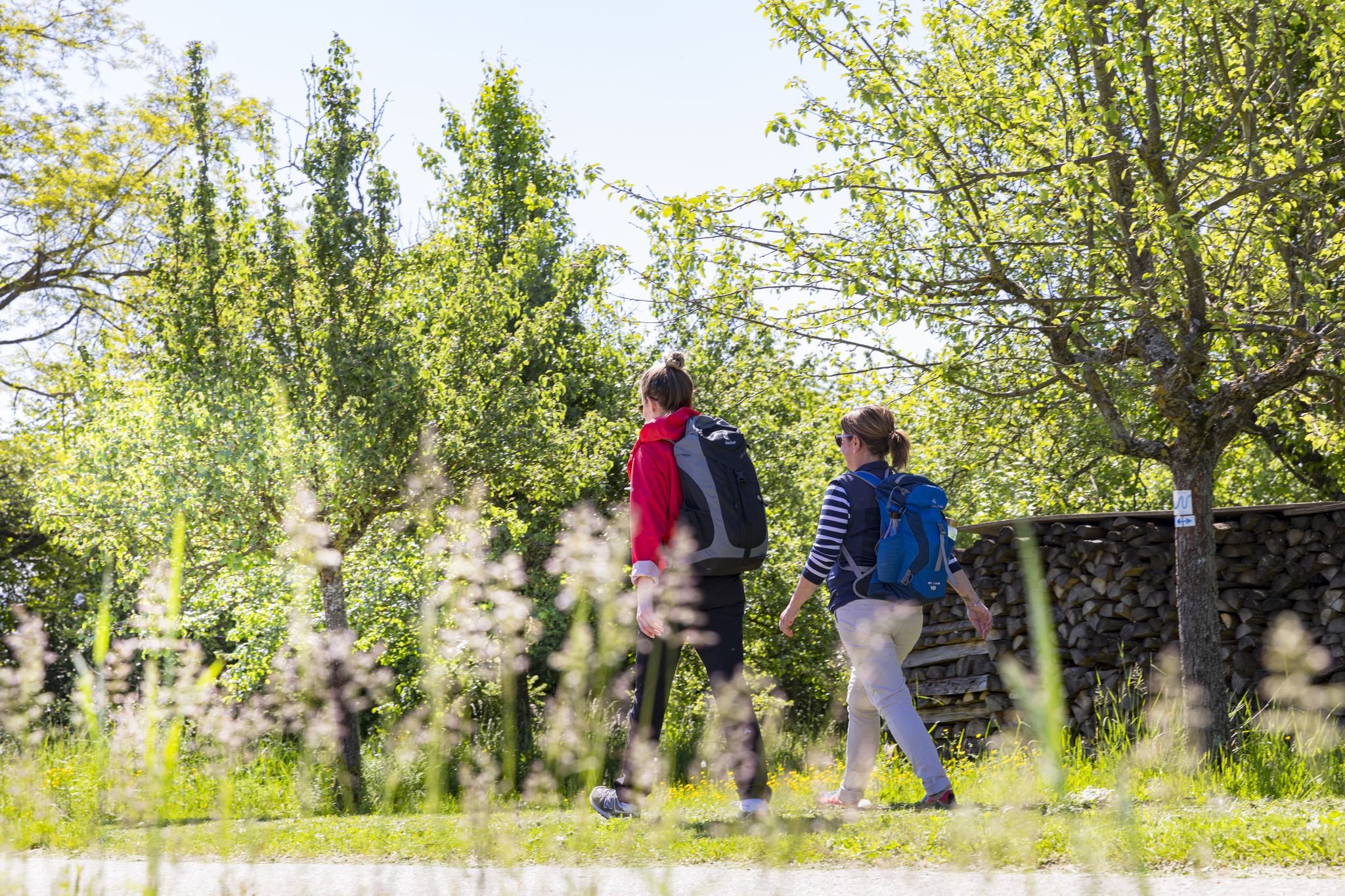
BahnWandern im Naturpark Neckartal-Odenwald
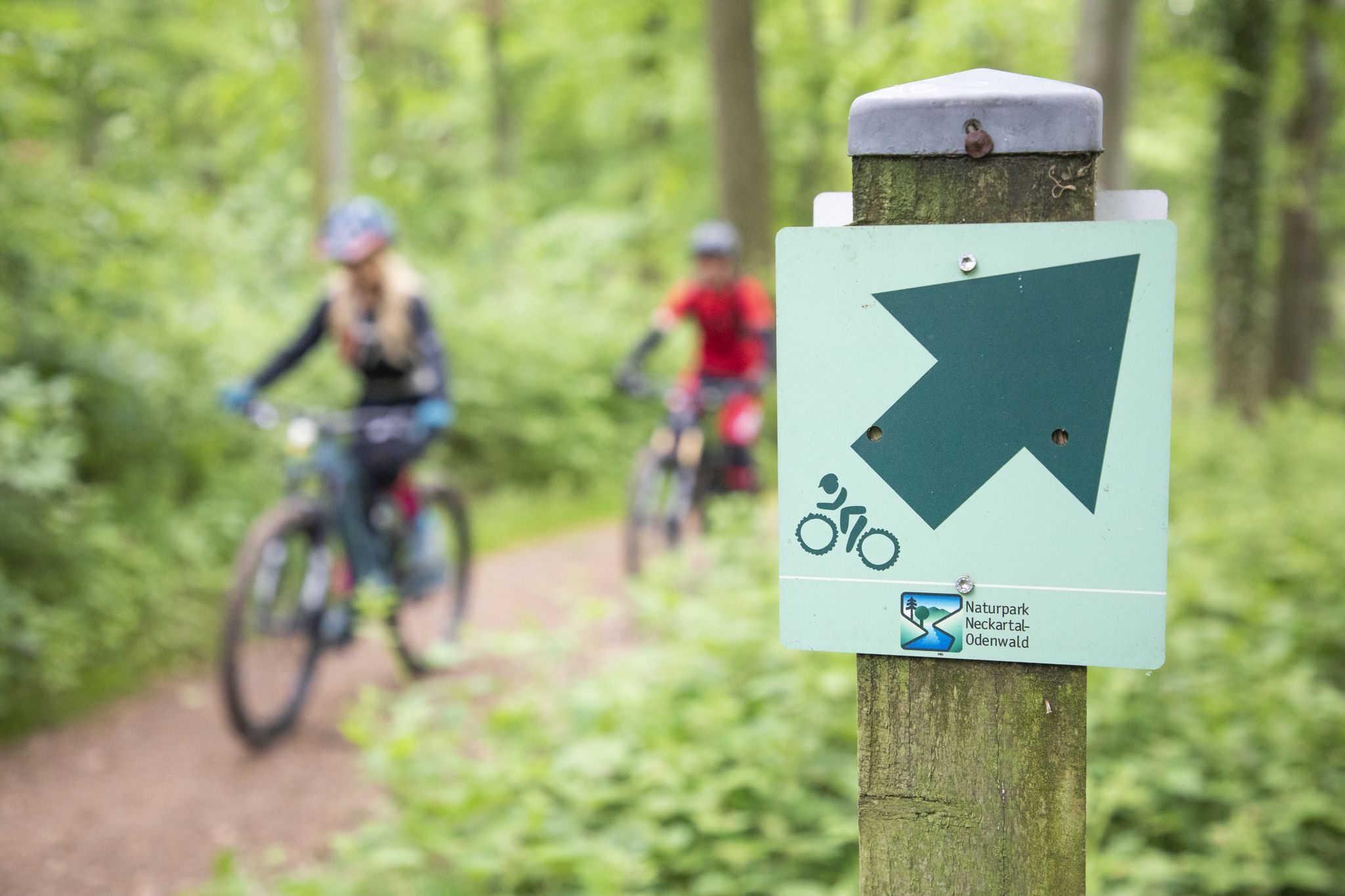
Mountainbike-Touren im Naturpark Neckartal-Odenwald
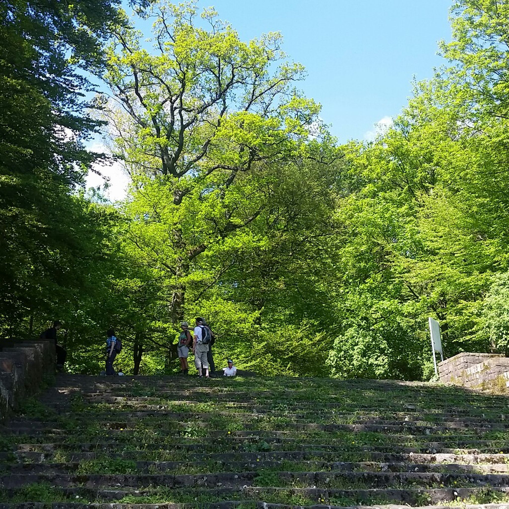
Hiking around Schriesheim
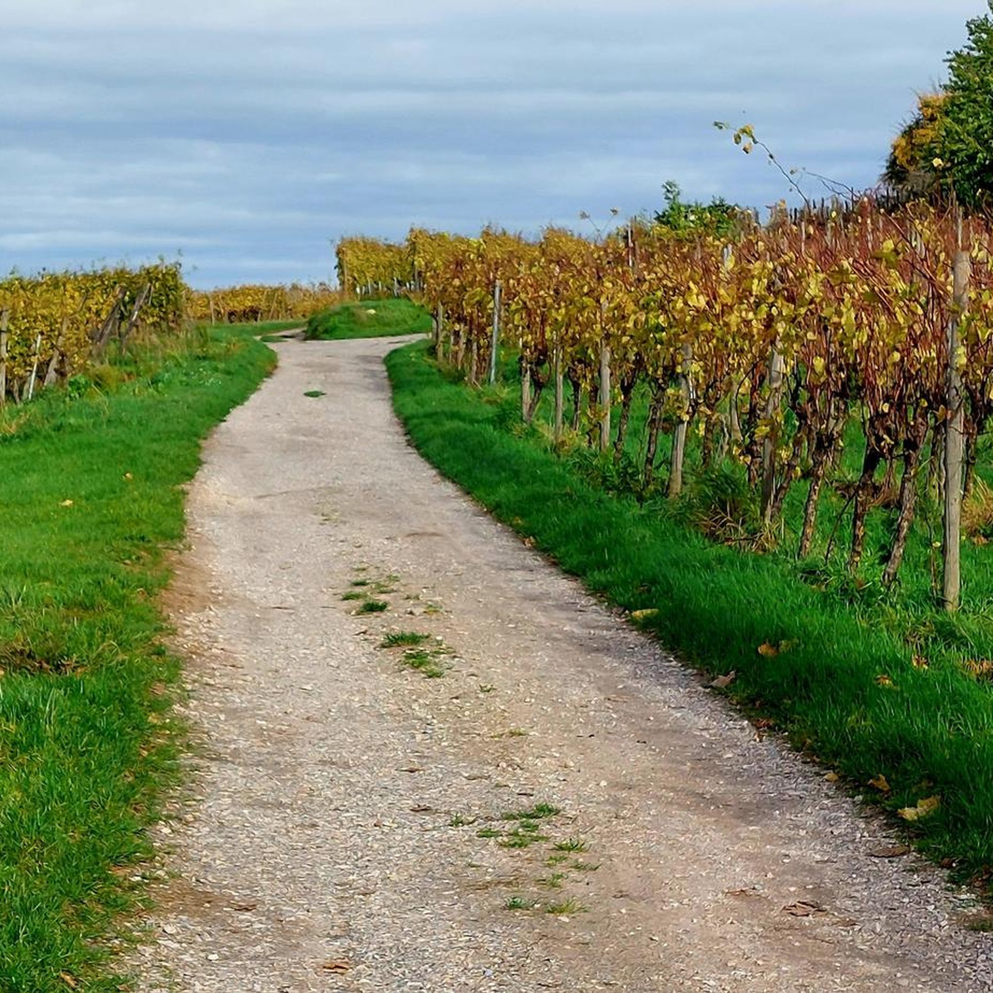
Running Trails around Schriesheim
Other adventures around Schriesheim


Tips from the Community

The mountain saddle between Ritschweier and Kunzenbach is called "cold Lord God". And today he lived up to his name, it was actually very sunny, but the icy wind was not without it. The age of the wayside shrine is not known. Today, behind a lattice, the wayside shrine houses an image of a farmer with a fully loaded harvest wagon. On August 12, 1922, the farmer Valentin Müller had a fatal accident here.
1
0

When it rains, she asks for protection, otherwise there are many junctions that lead to the rapid descent.
0
0
Yes, the descent is very fast, but it gets flatter at the bottom.
0
1

A beautiful hill with a great view.
0
0

An ice-cold wind often blows at the height in winter. Hence the wayside shrine got its name.
0
0

Cooking cheese schnitzel and mega delicious rump steaks
0
0

Wayside shrine at the old Lord
0
0

Great view when you come out of the as - but it can also be pretty windy up here ... I was lucky today 🍀 and the weather was great.
2
0
Frequently Asked Questions
What unique historical or cultural sites can I find among the mountain passes?
You can visit the Shrine at the Kalter Herrgott, a peculiar man-made monument with a detailed board explaining its history and offering a nice view. Additionally, the region research mentions historical landmarks like the Schauenburg Castle Ruins and Strahlenburg, which are often part of scenic routes.
Are there mountain passes suitable for road cycling?
Yes, the Kreidacher Höhe (430m) - Odw. 🚴♂️ is a significant mountain pass at an altitude of around 430 m, known as a linchpin for many road bike tours. It even features a rare passport sign in the Odenwald.
What kind of terrain can I expect on the mountain pass routes around Schriesheim?
The region offers diverse terrains, from paved surfaces to unpaved, challenging segments. Many routes involve significant uphill stretches on forest paths and downhill sections on relatively easy trails, suitable for various fitness levels.
Are there any gentle ascents or easier mountain pass routes?
For a less strenuous option, consider the Gentle Ascent to Münchelpass. This trail follows the Hasselbacher Hof and leads to the Münchelpass on a slight incline with an old asphalt surface, providing an alternative to steeper roads.
What outdoor activities can I do near these mountain passes?
Beyond exploring the passes themselves, Schriesheim is a great base for various outdoor activities. You can find numerous mountain hikes, running trails, and MTB trails in the area, catering to different difficulty levels.
Where can I find the best panoramic views in the Schriesheim mountain region?
The Teltschik Tower on the Schriesheimer Kopf offers a fantastic 360-degree view over the Odenwald and as far as Mannheim/Ludwigshafen. The Shrine at the Kalter Herrgott also provides a nice view on a small pass.
Are there specific trails for mountain biking near the passes?
Yes, the Weisser Stein area is particularly known for its 'Steinbrecher Trails,' which are popular for mountain biking and offer a thrilling experience. Many routes in the Rhein-Neckar-Kreis and Odenwald Nature Park are suitable for mountain biking.
What do visitors enjoy most about the mountain passes around Schriesheim?
Visitors appreciate the diverse terrains, from paved to challenging unpaved segments, and the rewarding views. Highlights like the Shrine at the Kalter Herrgott are noted for their unique charm and views, while the Kreidacher Höhe is a favorite for road cyclists.
Are there any shelters or facilities available on the mountain pass routes?
The Münchel Pass and Shelter offers a large hut built in wood and natural stones, which serves as a common stop before descents. The Kreidacher Höhe also has facilities nearby, including a summer toboggan run and a climbing forest.
What is the narrowest passage on a hiking trail in Schriesheim?
A unique and memorable hiking experience can be found on a specific section of the Blütenweg (Flower Path) in Schriesheim, which is described as being so narrow it's 'hardly the breadth of a rucksack,' adding an element of adventure.
What is the best time of year to visit the mountain passes around Schriesheim?
While specific recommendations vary, the region is generally enjoyable for outdoor activities throughout the warmer months. Spring and autumn offer pleasant temperatures and beautiful scenery, with the 'Blütenweg' suggesting spring for its floral displays. Some tips mention great views on clear days, implying good weather is key.
Can I access the mountain passes using public transport?
The region research mentions the Heidelberg mountain railway as an alternative for reaching the Königstuhl summit, which is often included in routes passing through Schriesheim. For other passes, public transport access might require a combination of train/bus and a walk, but specific routes would need local inquiry.
Most popular routes around Schriesheim
Most popular attractions around Schriesheim

Get inspired with the komoot mobile app


Explore more
See even more epic mountain passes by checking out these guides around Schriesheim:
