The best gravel rides around Schriesheim
4.5
(639)
3,026
riders
185
rides
Gravel biking around Schriesheim offers a diverse landscape characterized by rolling hills, dense forests, and historic ruins. The region features varied terrain, including both paved and unpaved paths suitable for gravel bikes. Riders can expect routes with significant elevation changes, providing both challenging climbs and scenic descents. The area's natural features and historical sites contribute to a varied riding experience.
Best gravel bike trails around Schriesheim
- The most popular gravel bike trail is View of Strahlenburg – Strahlenburg Ruins loop…
Last updated: October 19, 2026
4.3
(6)
39
riders
Hard gravel ride. Very good fitness required. Mostly paved surfaces. Suitable for all skill levels.
15
riders
51.1km
03:27
1,140m
1,140m
Hard gravel ride. Very good fitness required. Mostly paved surfaces. Suitable for all skill levels.

8
riders
Hard gravel ride. Very good fitness required. Mostly paved surfaces. Suitable for all skill levels.
5.0
(1)
10
riders
Hard gravel ride. Very good fitness required. Mostly paved surfaces. Suitable for all skill levels.
6
riders
Hard gravel ride. Very good fitness required. Mostly paved surfaces. Suitable for all skill levels.
Get access to more routes and recommendations from other explorers.
Already have an account?
Our route recommendations are based on thousands of hikes, rides, and runs completed by other people on komoot.
Start today with a free account
Your next adventure awaits.
Popular around Schriesheim
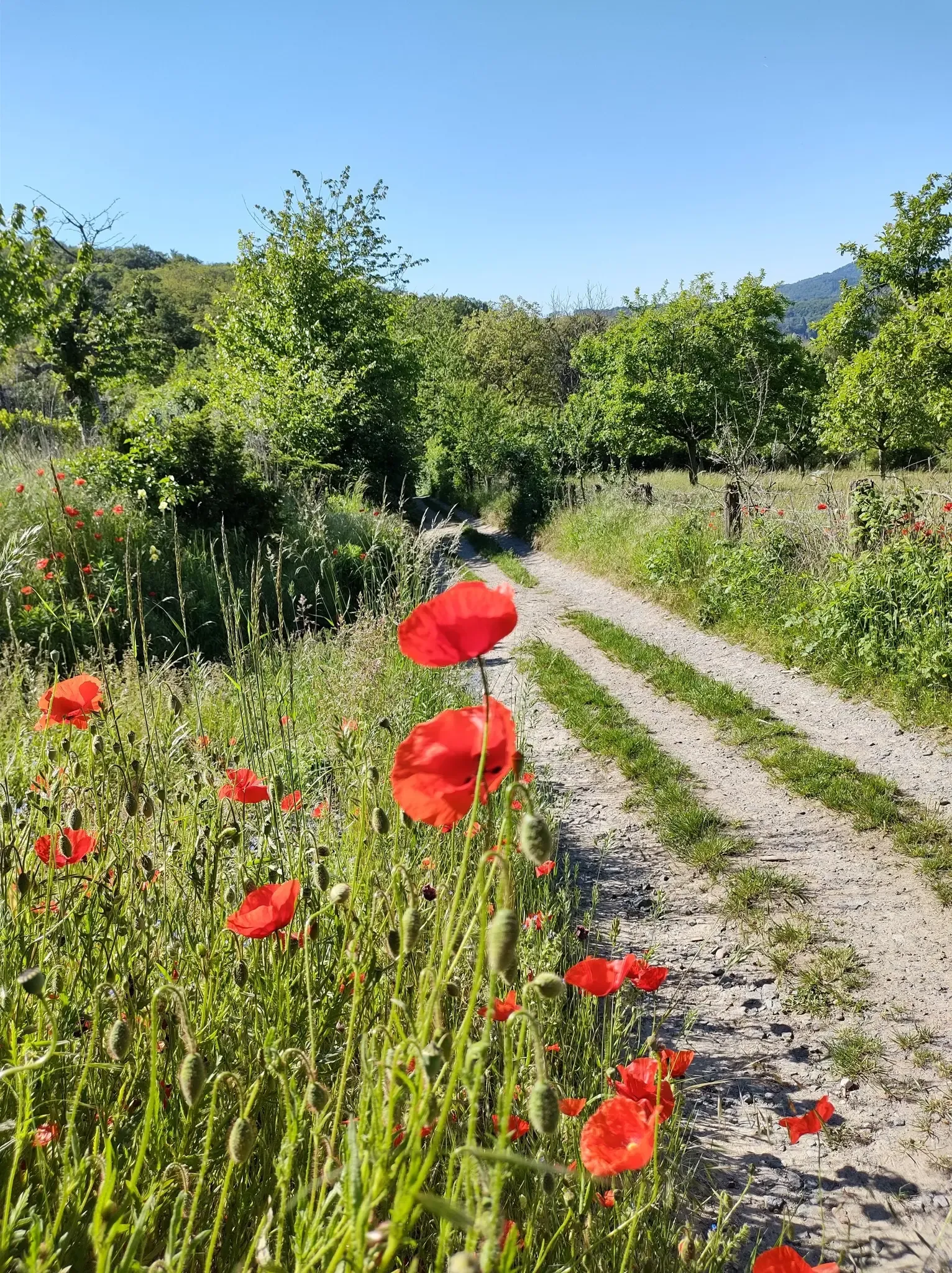
Bergsträßer Blütenweg – Between vines and flowers
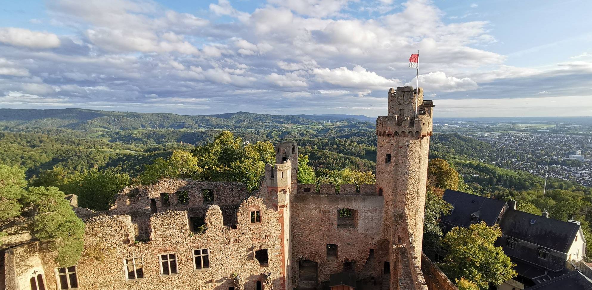
Burgensteig Bergstraße – In the footsteps of knights, hiking in 9 stages

MTB flow in BW! Trails from the Schwarzwald to the Odenwald
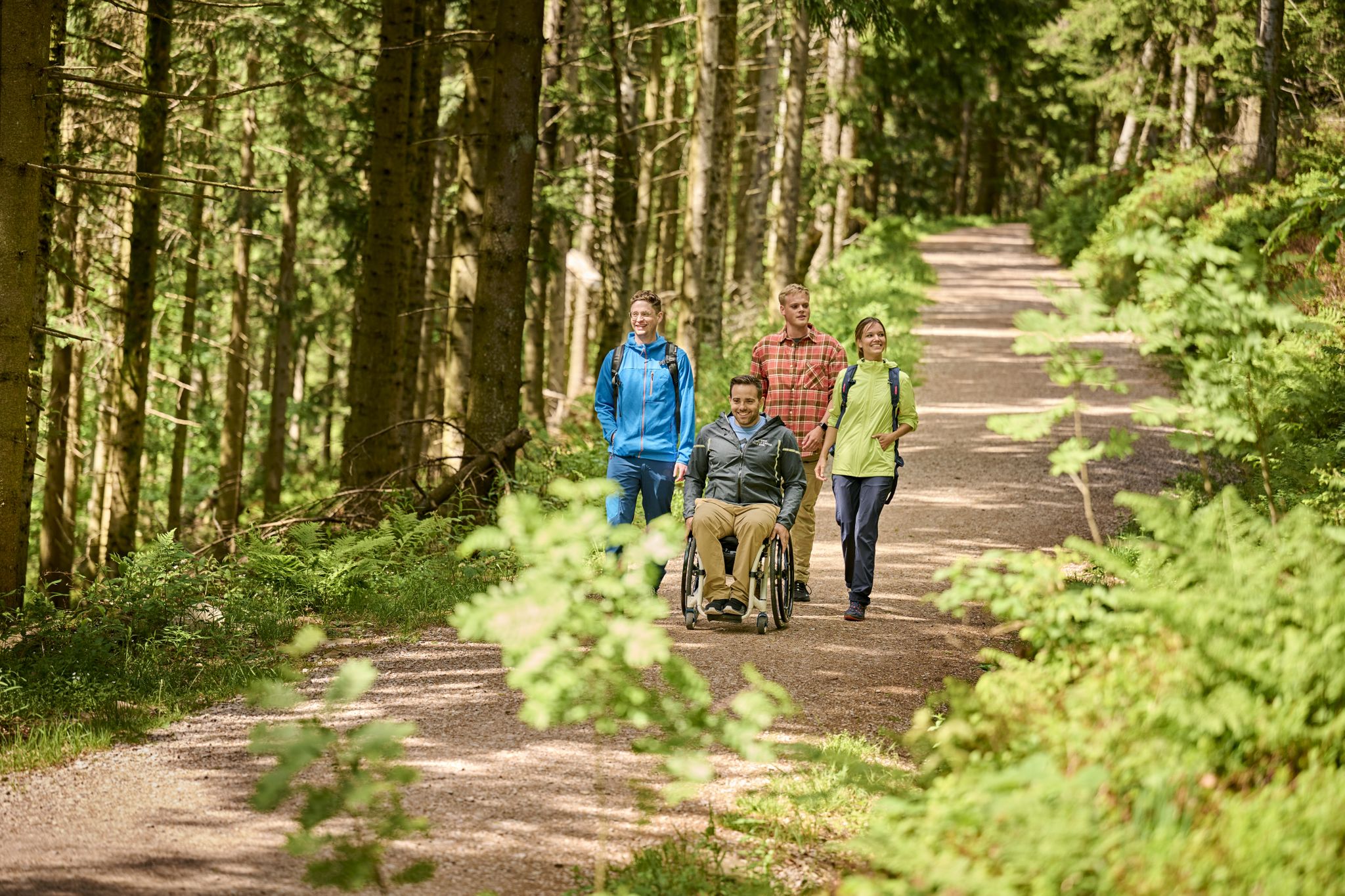
Accessible hiking routes in Baden-Württemberg
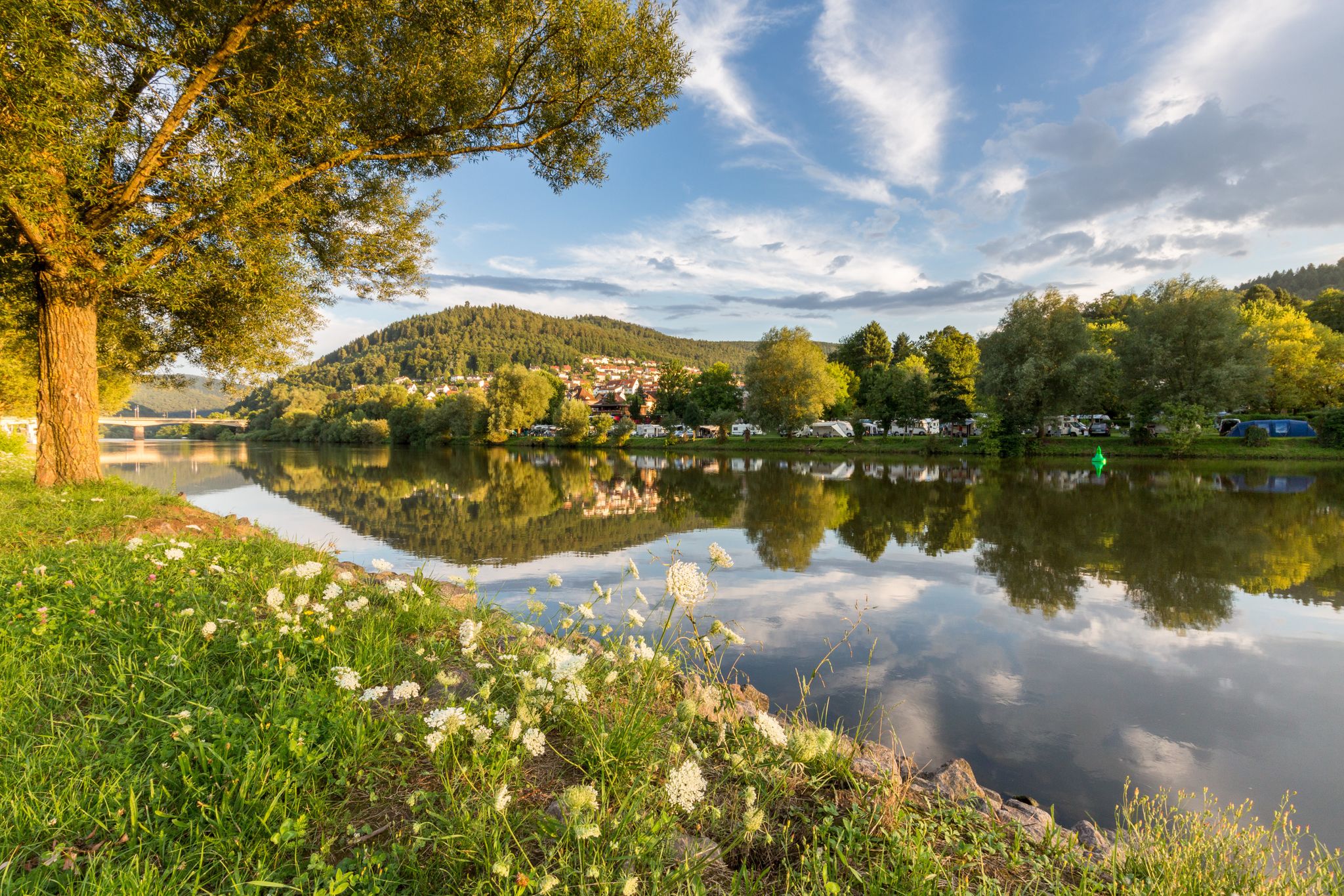
Experience nature – hiking in the Odenwald and Neckar Valley
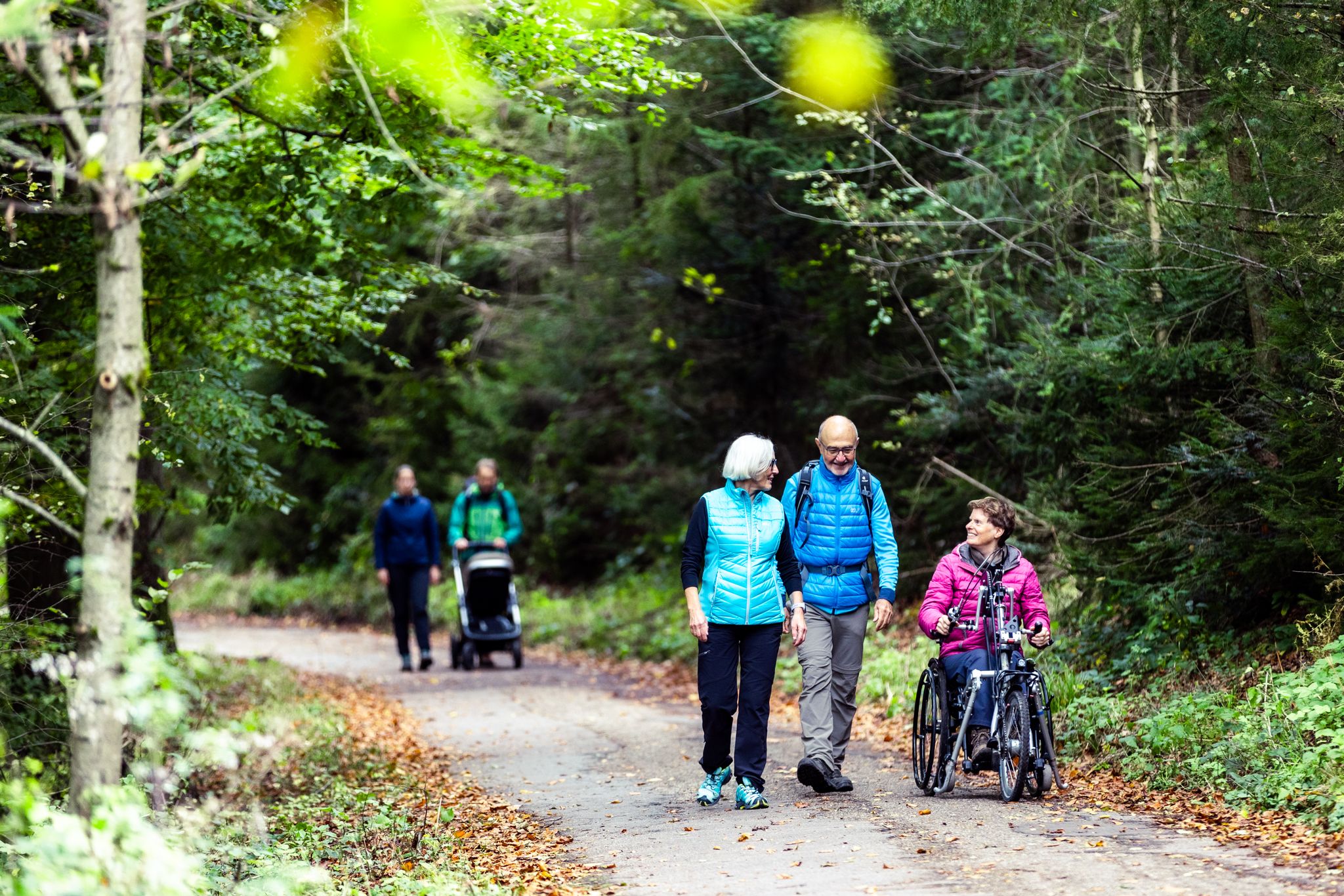
Komfort-Wanderwege im Naturpark Neckartal-Odenwald
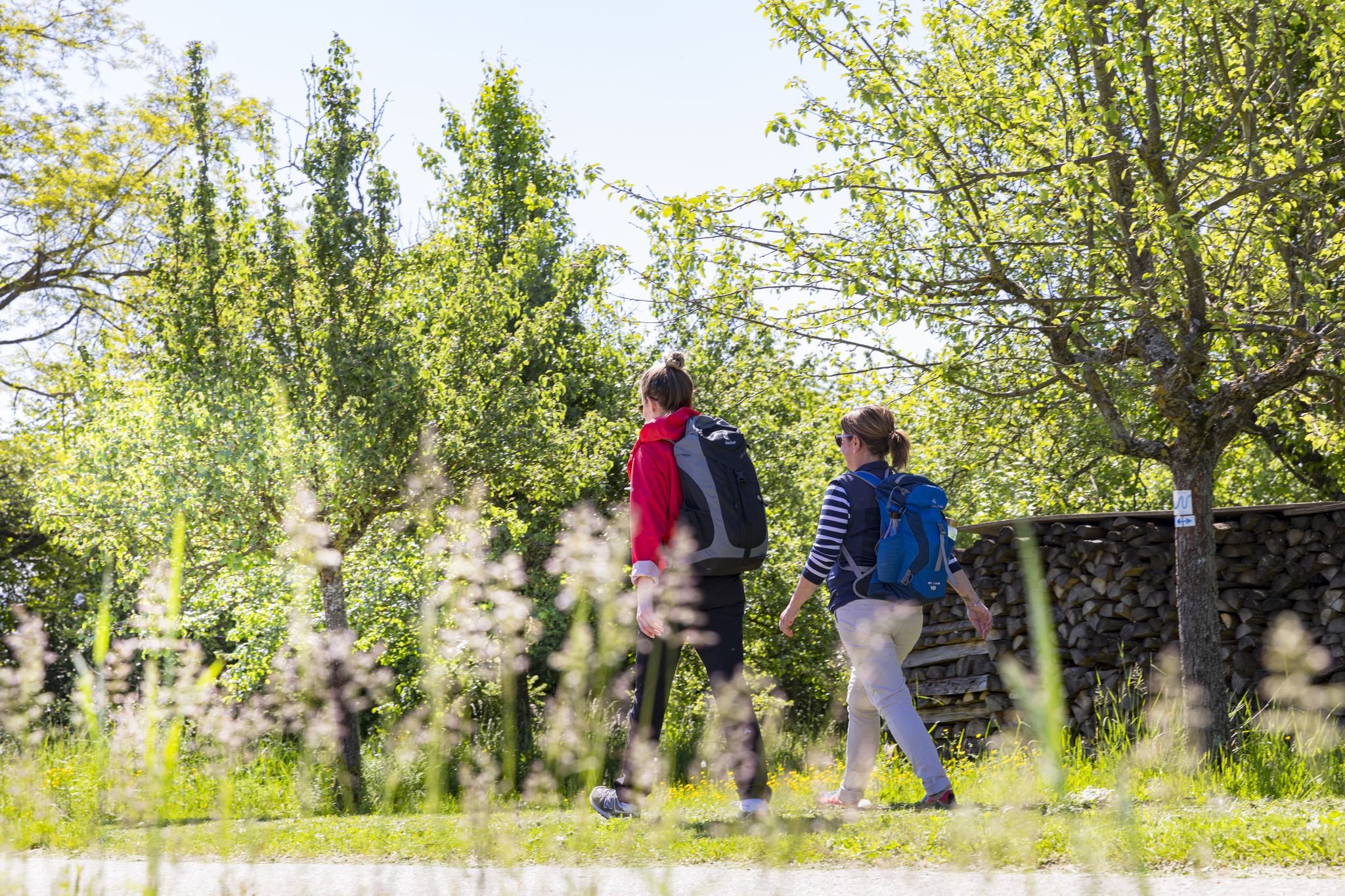
BahnWandern im Naturpark Neckartal-Odenwald
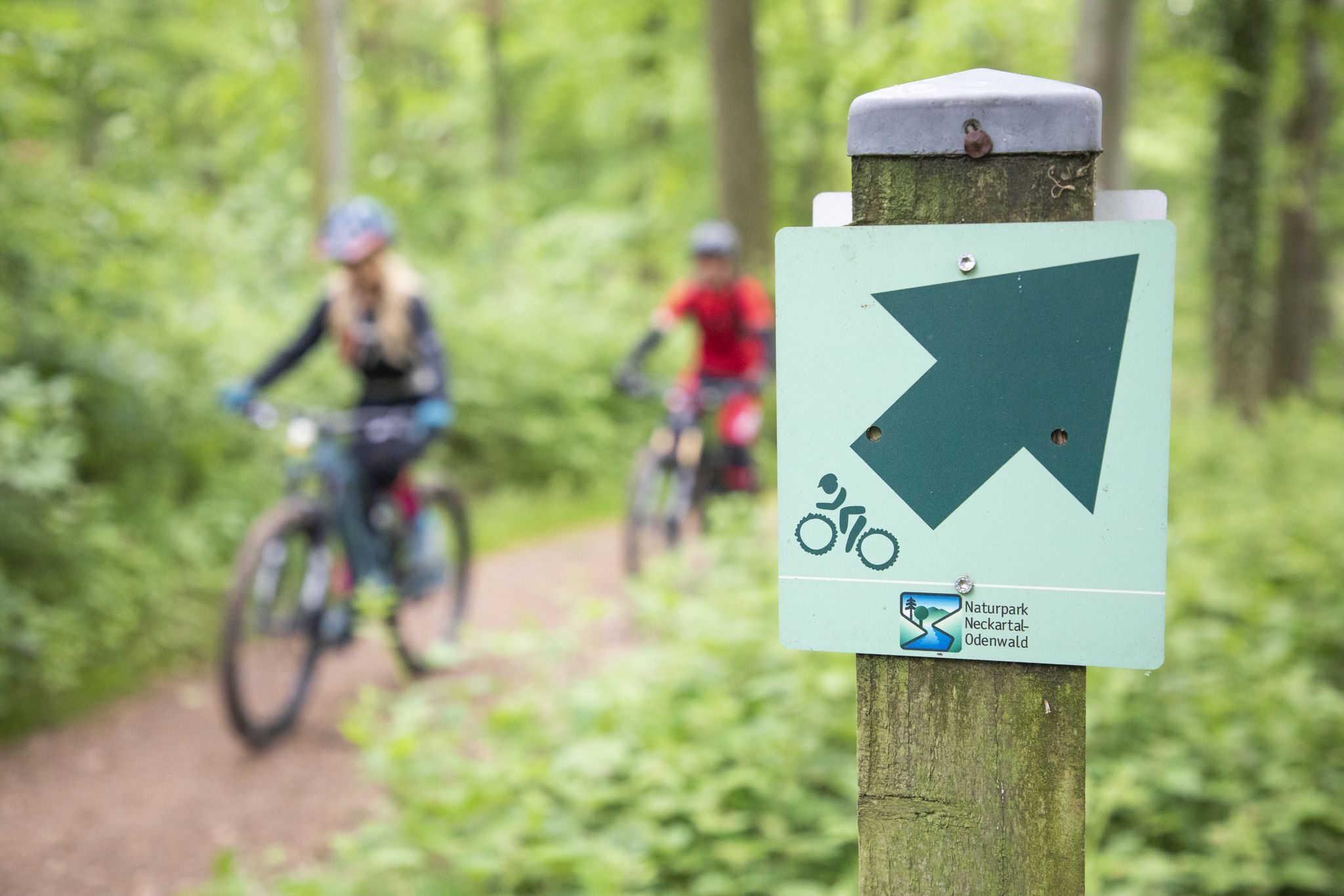
Mountainbike-Touren im Naturpark Neckartal-Odenwald
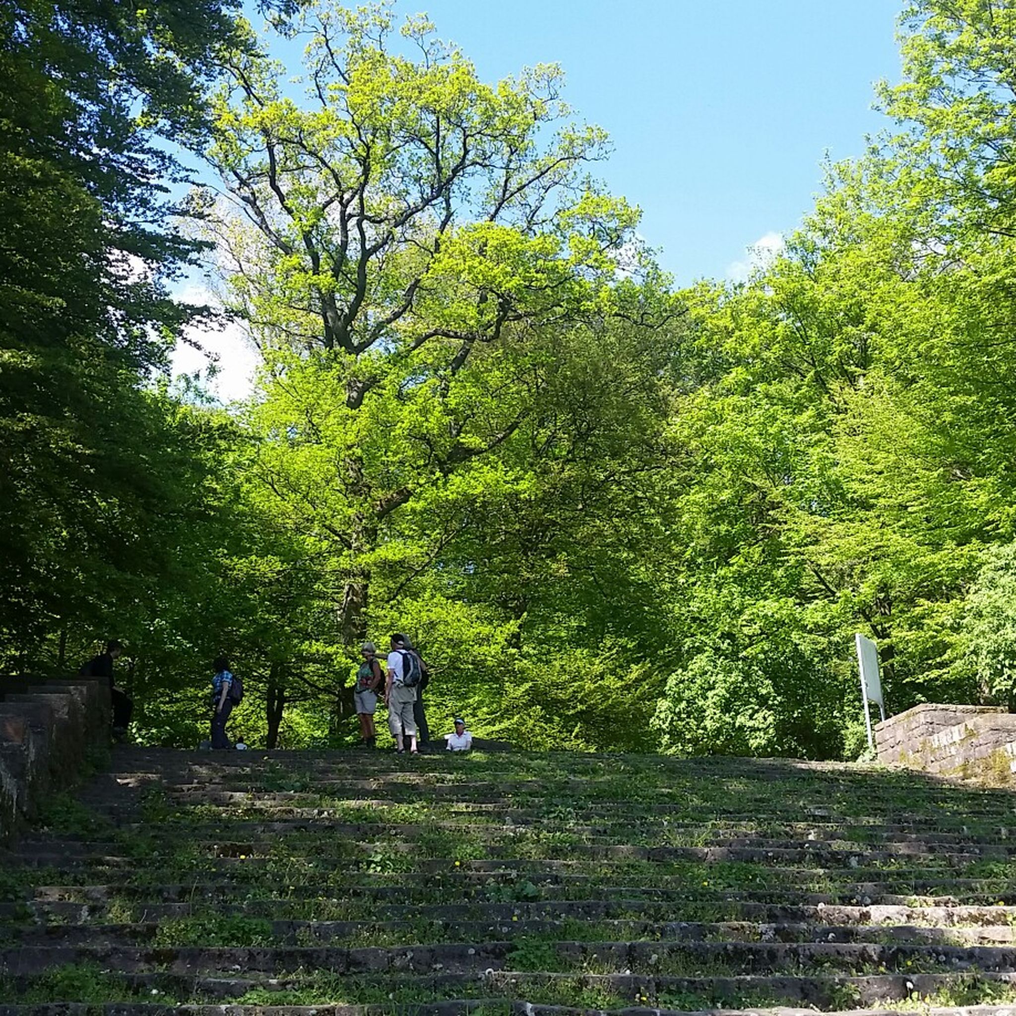
Hiking around Schriesheim
Running Trails around Schriesheim
Other adventures around Schriesheim


Tips from the Community

Very nice to cycle here and enjoy nature
4
0

Open viewpoint over the gentle Schönau valley with rolling hills and farmland. A calming, pastoral scene that rewards those who push into the Odenwald.
0
0

From 3.5, the Strahlenburg is initially reopened by the foundation on weekends 👍🔥🙏. There will probably be a new tenant from autumn this year 👍
0
0

A number of trails start from up here...
2
0

The observation tower at Am weissen Stein offers a striking stair climb... the view into the stairwell is fantastic.
9
0

The entrance to Heidelberg's Old Town
0
0

Stop for a moment and enjoy the view... and then continue on the descent.
1
0

It offers a number of sights. The views of nature are wonderful. The well-maintained and paved bike path from Villingen-Schwennigen to Neckarsulm is also a dream. From there to Mannheim, gravel roads are occasionally required.
0
1
Frequently Asked Questions
How challenging are the gravel bike trails in Schriesheim?
The gravel bike trails around Schriesheim offer a range of difficulties. While many routes feature significant elevation changes, providing challenging climbs and descents, there are also easier paths. Out of nearly 300 routes, you'll find 15 easy, 95 moderate, and 188 difficult options, ensuring something for every skill level.
What are the typical distances for gravel bike routes around Schriesheim?
Gravel bike routes in Schriesheim vary in length. For example, the View of Strahlenburg – Strahlenburg Ruins loop from Schriesheim Bahnhof is about 23 km, while the Ursenbacher Heights Viewpoint – View of Strahlenburg loop from Schriesheim Bahnhof extends to nearly 35 km. You can find routes ranging from shorter, quicker rides to longer, more enduring adventures.
Can I access gravel bike trails in Schriesheim using public transport?
Yes, many gravel bike trails in the Schriesheim area are accessible via public transport. Several popular routes, such as the View of Strahlenburg – Strahlenburg Ruins loop and the Die Löre Trail – Schauenburg Castle Ruins loop, conveniently start from Schriesheim Bahnhof, making them easy to reach without a car.
Are there family-friendly gravel bike trails in Schriesheim?
While many routes in Schriesheim involve significant climbs, there are easier paths suitable for families or beginners. It's best to look for routes categorized as 'easy' in the komoot app, which typically have less elevation gain and smoother surfaces, though gravel biking generally implies some unpaved sections.
What kind of views and landmarks can I expect on the gravel bike trails?
The trails offer diverse scenery, including dense forests, rolling hills, and historic sites. You can enjoy panoramic views, including distant sights of Heidelberg Castle on routes like the View of Heidelberg Castle loop. Many routes also pass by impressive ruins such as the Strahlenburg ruins and Schauenburg Castle ruins. Additionally, you might encounter highlights like the Shrine at the Kalter Herrgott or various mountain passes.
Are most gravel bike trails in Schriesheim loop routes?
Yes, a significant number of gravel bike trails around Schriesheim are designed as loops. This allows riders to start and finish at the same point, which is convenient for those using personal vehicles or public transport. Examples include the Rest area at the Steinach – Weißer Stein Climb loop and the Die Löre Trail – Schauenburg Castle Ruins loop.
What do other gravel bikers enjoy most about gravel biking in Schriesheim?
The area is highly rated by the komoot community, with an average score of 4.6 stars from over 680 reviews. Reviewers often praise the varied terrain, the combination of forested paths and open views, and the historical landmarks like castle ruins that add character to the rides. The diverse options for different skill levels are also frequently highlighted.
When is the best time of year for gravel biking in Schriesheim?
Gravel biking in Schriesheim is enjoyable throughout much of the year. Spring and autumn offer pleasant temperatures and beautiful scenery with blooming nature or vibrant fall foliage. Summer provides longer daylight hours, though some climbs can be more strenuous in warmer weather. Winter riding is possible, but be prepared for potentially muddy or icy conditions on unpaved sections, especially at higher elevations.
Are there any specific mountain biking parks or flow trails nearby?
Yes, for those looking for more technical riding, the region around Schriesheim also features dedicated bike park areas. You can find highlights such as the Flow trail in Naturpark Neckartal-Odenwald and the Buchklingen Trail, offering a different kind of two-wheeled adventure.
Where can I park when gravel biking in Schriesheim?
Many routes in the Schriesheim area start from easily accessible locations like Schriesheim Bahnhof or Dossenheim Bahnhof, which typically offer parking facilities. It's advisable to check local parking options near your chosen starting point before your ride.
Are there opportunities for refreshments or cafe stops along the routes?
While specific cafe stops are not always marked on every route, the gravel trails often pass through or near small towns and villages in the Odenwald region. These settlements frequently offer opportunities for refreshments, including bakeries, cafes, or traditional German Gasthäuser where you can refuel during your ride.
Most popular routes around Schriesheim
Most popular attractions around Schriesheim

Get inspired with the komoot mobile app


Explore more
Browse the best Gravel rides in other regions.
