Top 4 Natural Monuments around Llanfihangel Rhydithon
Best natural monuments around Llanfihangel Rhydithon are found within the Radnor Forest, an area characterized by isolated hills and moorlands. This region offers a landscape rich in natural features, including prominent summits and a notable waterfall. The terrain consists of sedimentary shales, mudstones, and Silurian limestone, providing varied hiking and exploration opportunities. Visitors can experience a range of natural landmarks, from high points offering panoramic views to secluded woodland gorges.
Best natural monuments around Llanfihangel Rhydithon
- The most popular natural…
Last updated: July 1, 2026
The Whimble
Highlight • Viewpoint
To the …
Tip by

Water-Break-Its-Neck Waterfall
Highlight • Waterfall
There's a high and low path so you can enjoy both viewpoints.
Tip by
Sign up now to discover places like this
Get recommendations on the best single tracks, peaks, & plenty of other exciting outdoor places.
Sign up for free
Black Mixen Summit
Highlight • Structure
Tip by

Bache Hill Summit
Highlight • Viewpoint
Tip by
Gwaunceste Hill (542 m) Trig Point
Highlight • Natural Monument
Tip by
Start today with a free account
Your next adventure awaits.
Login or Signup

Tips from the Community

Gwaunceste Hill 542m P165 (1778ft) TP3545 - Gwaun-Ceste Hill S5648 Welsh Dewey
0
0

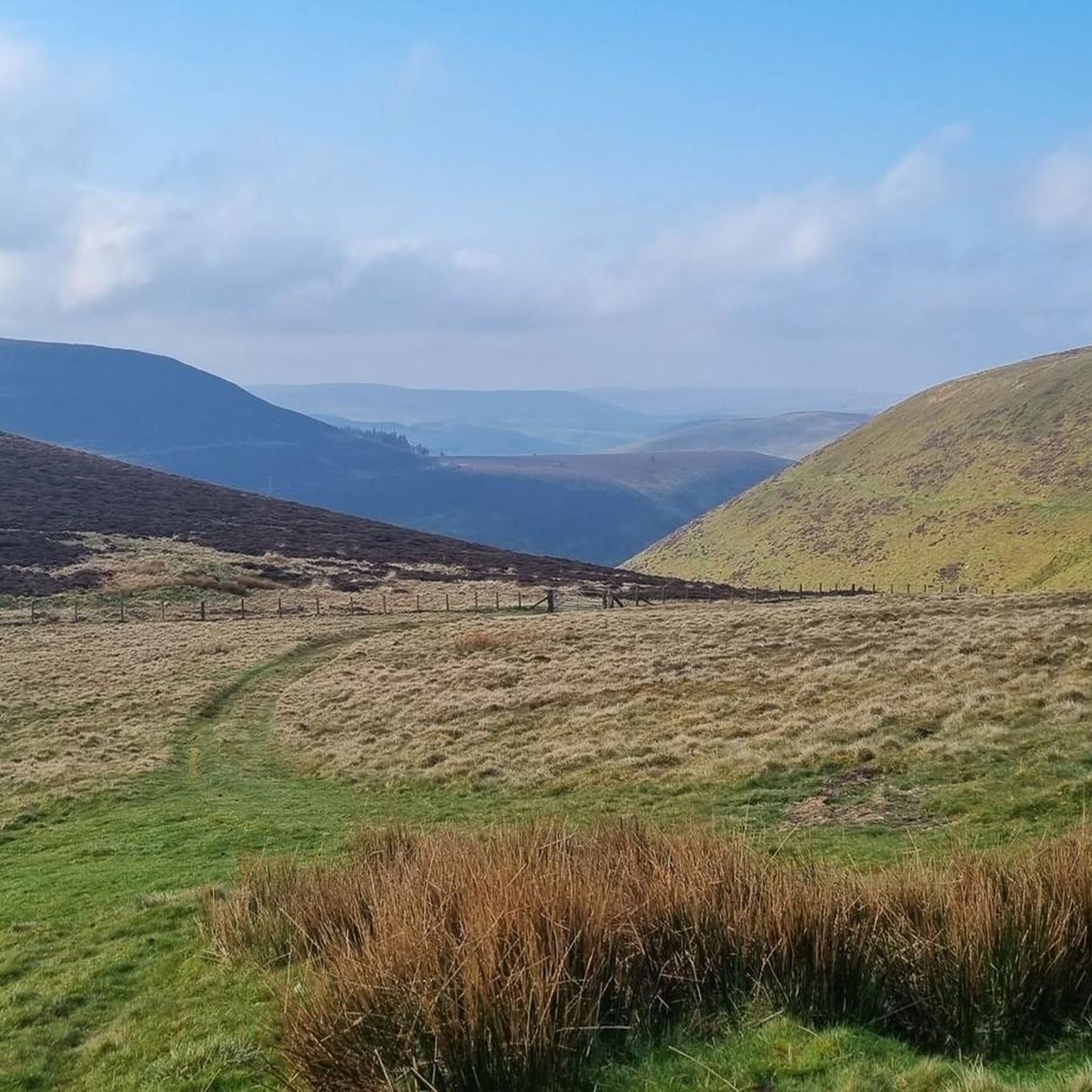
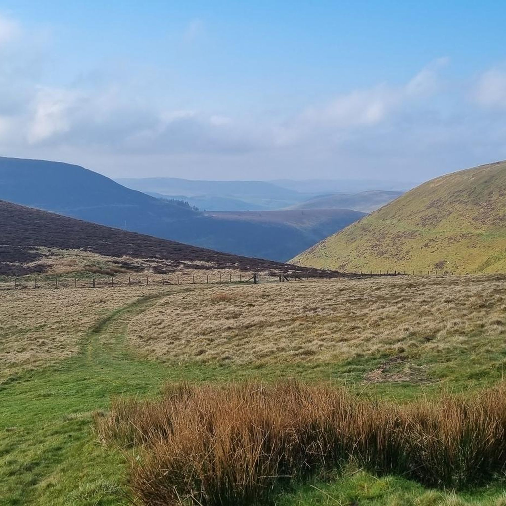
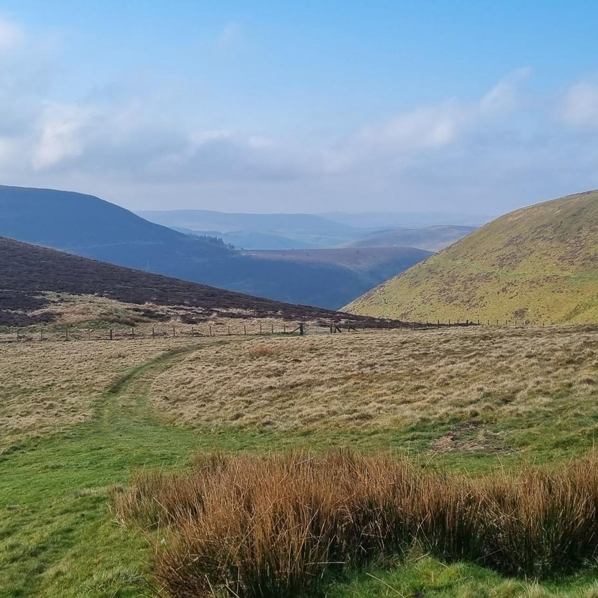
The Whimble has a striking conical shape. The summit is 599m and on a clear day offers great voews with the hill dropping away steeply on all sides. To the southeast, Hergest Ridge and the Black Mountains visible to the south. To the west and north the higher, flat-topped summits of the Radnor Range. To the northeast, Bache Hill.
3
0
The fine rainbow mist surrounding the unusually named Water-break-its-neck waterfall creates a humid micro-climate in this lush green gorge. There's a high and low path so you can enjoy both viewpoints.
3
0

Black Mixen is a subsidiary summit of Rhos Fawr or Great Rhos in the Radnor Forest. The summit is large peat bog plateau. The summit is marked with a cairn, and is next to a radio transmitter and its building. Black Mixen is the only UK registered Nuttall to have a communications mast on its summit.
3
0
Bache Hill is a subsidiary summit of Rhos Fawr or Great Rhos, in the Radnor Forest in Wales. It is located to the east of Black Mixen. The summit is marked by a trig point built on an ancient burial mound, probably of Bronze Age date, like most of the summit cairns and round barrows in Wales. It is a UK registered Nuttall.
3
0
Gwaunceste Hill (Welsh: Bryn Gwaun-cest) is a 542-metre-high hill in the county of Powys in east Wales. It falls within the communities of Gladestry and Glascwm around 4 km east of the village of Hundred House and about 2 km north of the hamlet of Glascwm. The headwaters of the River Arrow gather on the eastern slopes of the hill. Drainage of its western slopes is into the River Edw, a tributary of the River Wye. Two subsidiary tops to the southeast and southwest are both known as ‘Little Hill’. It is a UK listed Marilyn.
2
0
Frequently Asked Questions
What kind of natural features can I expect to see around Llanfihangel Rhydithon?
The area around Llanfihangel Rhydithon, particularly within the Radnor Forest, is rich in diverse natural features. You'll find prominent summits like Great Rhos, Black Mixen, and Bache Hill, offering expansive views and unique geological formations. There are also tranquil woodland gorges, such as the one housing the Water-Break-Its-Neck Waterfall, and broad, heathery plateaus formed from sedimentary shales, mudstones, and Silurian limestone.
Are there family-friendly natural monuments to visit near Llanfihangel Rhydithon?
Yes, the Water-Break-Its-Neck Waterfall is a popular family-friendly destination. It offers a short, easy walk through a tranquil woodland setting in Warren Wood, making it suitable for visitors of all ages. The waterfall itself is a spectacular sight, especially after rainfall, and the surrounding old trees add to the picturesque experience.
What is the best time of year to visit the natural monuments in this region?
The best time to visit depends on your preferred activity. For spectacular views of the Water-Break-Its-Neck Waterfall, visiting after heavy rainfall ensures a dramatic cascade, though it can be a trickle in dry spells. Generally, spring and autumn offer pleasant temperatures for hiking the summits like Great Rhos, Black Mixen, and Bache Hill, with vibrant foliage or blooming heather. Summer provides longer daylight hours, while winter can offer stark, beautiful landscapes, but trails may be more challenging due to weather conditions.
Are there any historical elements associated with the natural monuments?
Yes, several natural monuments in the area have historical significance. For instance, the summit of Bache Hill Summit is marked by a trig point built atop an ancient burial mound, likely dating back to the Bronze Age. Similarly, the cairn on Black Mixen Summit is also believed to be of Bronze Age origin, blending natural elevation with ancient human history.
What kind of views can I expect from the summits around Llanfihangel Rhydithon?
The summits offer extensive and panoramic views. From The Whimble, you can expect great views across Hergest Ridge, the Black Mountains to the south, and the higher, flat-topped summits of the Radnor Range to the west and north. Great Rhos, as the highest point, provides sweeping vistas across the Cambrian and Black Mountains. Black Mixen Summit offers wide, open views encompassing Bache Hill to the east and the Great Rhos plateau to the west.
What outdoor activities can I do near these natural monuments?
The Radnor Forest area provides excellent opportunities for various outdoor activities. You can explore numerous trails for mountain biking, gravel biking, and running. For example, there are challenging MTB routes like the 'Radnor Forest and Shepherd's Tump loop' and gravel biking options such as the 'Black Mixen Summit – View of the Valley loop'. Running enthusiasts can find trails like the 'Black Mixen Summit loop from Ednol Wood'. You can find more details on these activities in the MTB Trails around Llanfihangel Rhydithon, Gravel biking around Llanfihangel Rhydithon, and Running Trails around Llanfihangel Rhydithon guides.
Are there specific hiking trails to reach the summits?
Yes, the summits within the Radnor Forest, such as Great Rhos, Black Mixen Summit, and Bache Hill Summit, are popular destinations for hikers. While specific named trails might vary, the area is known for challenging hikes across its broad, heathery plateaus. Routes often connect these summits, allowing for extended walks and exploration of the distinctive landscape. The trig points and cairns on the summits serve as useful landmarks.
What makes the Water-Break-Its-Neck Waterfall unique?
The Water-Break-Its-Neck Waterfall is unique for several reasons. Its unusually evocative name, the fine rainbow mist it creates, and the humid micro-climate it fosters in its lush green gorge make it a distinctive natural attraction. It has been a popular tourist destination for over 200 years, particularly with Victorian visitors, and the surrounding Warren Wood features large, old trees, including monkey puzzle trees, many planted in Victorian times.
Is there parking available for visiting these natural monuments?
While specific parking details for each monument are not provided, the Radnor Forest area generally has designated parking spots or lay-bys near popular access points for trails leading to its natural features. It is advisable to check local signage or specific trail guides for the most convenient parking locations when planning your visit.
What is the terrain like for hiking in the Radnor Forest?
The terrain in the Radnor Forest is characterized by isolated hills and moorlands. You'll encounter broad, heathery plateaus, particularly on summits like Great Rhos and Black Mixen Summit, which features a large peat bog. The underlying geology consists of sedimentary shales, mudstones, and Silurian limestone. Routes can range from challenging hikes on exposed uplands to more tranquil walks through steep-sided gorges and woodlands, such as around the Water-Break-Its-Neck Waterfall.
Can I combine a visit to multiple natural monuments in one trip?
Yes, many visitors combine visits to several natural monuments, especially the summits within the Radnor Forest. For example, routes often connect Great Rhos, Black Mixen Summit, and Bache Hill Summit, allowing for a comprehensive hiking experience. The Water-Break-Its-Neck Waterfall, while a separate destination, can be a pleasant addition to a day exploring the wider area.
Most popular routes around Llanfihangel Rhydithon
Most popular attractions around Llanfihangel Rhydithon

Get inspired with the komoot mobile app


Explore more
Extend your search for the best caves by checking out these guides of the top ones around Llanfihangel Rhydithon:
