The best walks and hikes around Llanfihangel Rhydithon
4.2
(64)
471
hikers
21
hikes
Hikes near Llanfihangel Rhydithon explore the landscapes of Mid Wales, characterized by rolling hills and pastoral farmland. The area provides access to the open moorlands and steep, narrow valleys of the Radnor Forest. The terrain offers a mix of well-marked forest paths and more remote upland trails.
Best hiking trails around Llanfihangel Rhydithon
- The most popular hiking route is the Breakneck Waterfall – Water-Break-Its-Neck Waterfall loop from Llanfiangel Nant Melan, a 1.7 mile (2.7 km) trail that takes about…
Last updated: October 21, 2026
3.5
(4)
13
hikers
21.6km
06:22
620m
620m
Hard hike. Very good fitness required. Mostly accessible paths. Sure-footedness required.
3.8
(4)
28
hikers
6.67km
02:04
260m
260m
Moderate hike. Good fitness required. Easily-accessible paths. Suitable for all skill levels.

4.3
(3)
14
hikers
8.71km
02:50
380m
380m
Moderate hike. Good fitness required. Easily-accessible paths. Suitable for all skill levels.
4.0
(3)
14
hikers
17.9km
05:26
600m
600m
Hard hike. Very good fitness required. Easily-accessible paths. Suitable for all skill levels.
5.0
(2)
10
hikers
10.4km
03:05
300m
310m
Moderate hike. Good fitness required. Easily-accessible paths. Suitable for all skill levels.
Get access to more routes and recommendations from other explorers.
Already have an account?
Our route recommendations are based on thousands of hikes, rides, and runs completed by other people on komoot.
Start today with a free account
Your next adventure awaits.
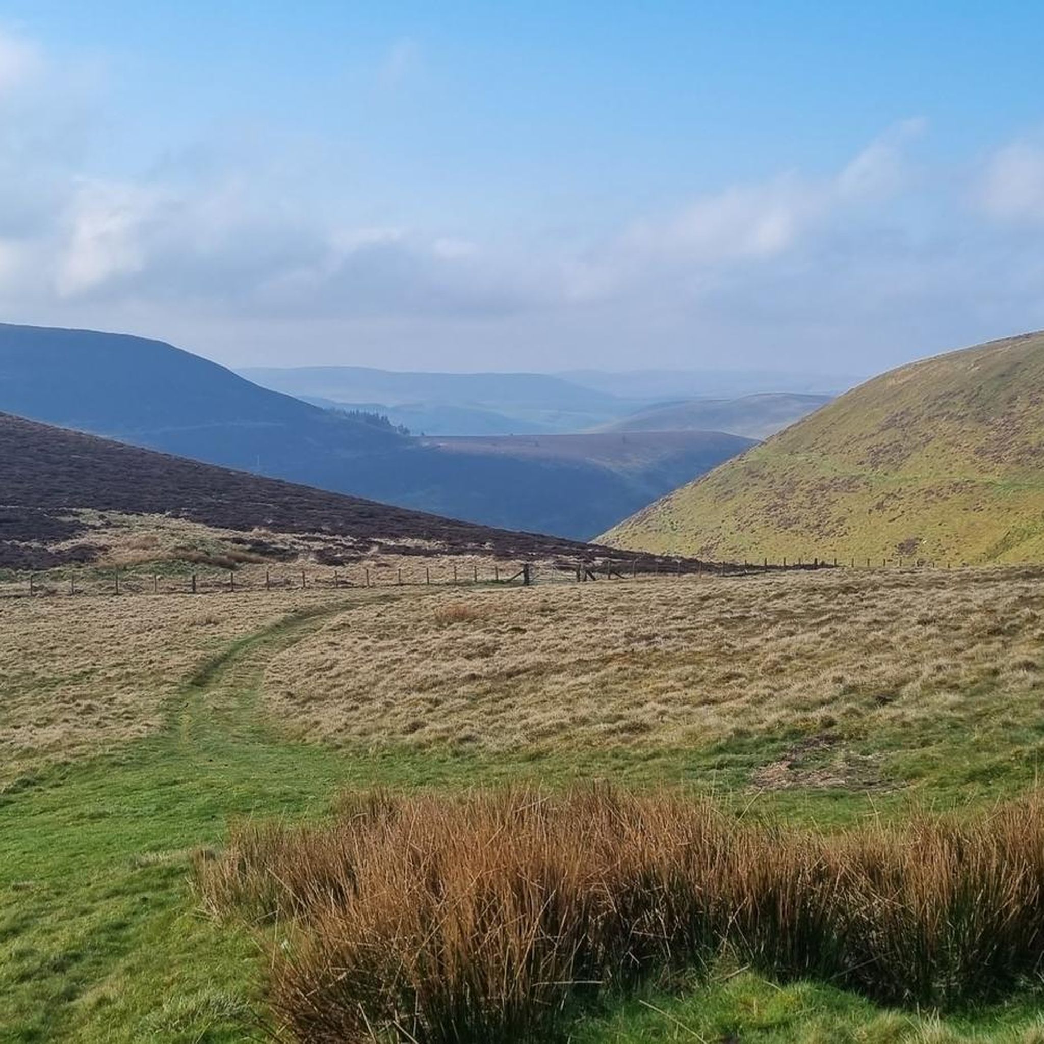
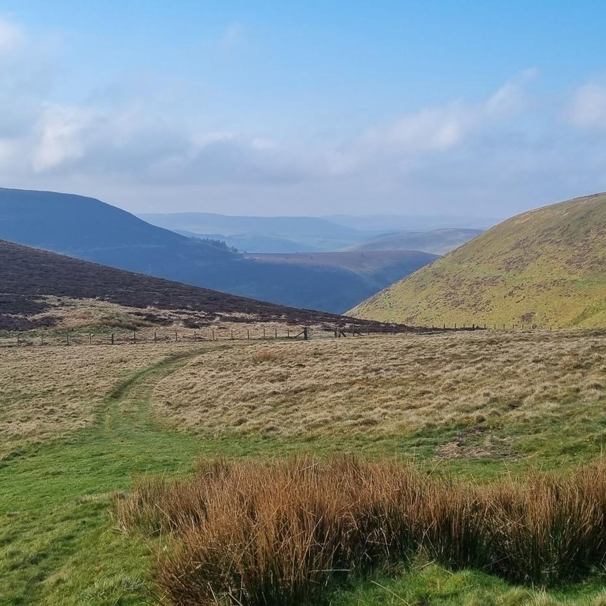

Tips from the Community

Delightful waterfall that is well worth the detour off the A44 near New Radnor. The track is a bit rough and bumpy to the small car park, and it is a short walk from there. Definitely worth visiting after prolonged rain, it can completely dry up in summer.
0
0

it's on the water breaks it neck byway
0
0

The Whimble has a striking conical shape. The summit is 599m and on a clear day offers great voews with the hill dropping away steeply on all sides. To the southeast, Hergest Ridge and the Black Mountains visible to the south. To the west and north the higher, flat-topped summits of the Radnor Range. To the northeast, Bache Hill.
3
0
The fine rainbow mist surrounding the unusually named Water-break-its-neck waterfall creates a humid micro-climate in this lush green gorge. There's a high and low path so you can enjoy both viewpoints.
3
0

Rhos Fawr or Great Rhos is a mountain summit in the Radnor Forest (Mid Wales), a rather isolated dome of hills to the north of the village of New Radnor. The local rocks are sedimentary shales and mudstones with some Silurian limestone. With a height of 660 metres (2,170 ft), it is the highest point in the Radnor Forest and the historic county top of Radnorshire. The summit is located on a broad heathery plateau, which is separated from Black Mixen: the eastern plateau summit, by the cwm of Harvey Dingle. To the west is Drygarn Fawr and Gorllwyn, to the northwest Plynlimon, to the north Beacon Hill and the Clun Forest (Shropshire), and to the south the Black Mountains. There is a prominent trig point at the summit, and a very useful landmark for walkers on the broad and featureless summit plateau.
3
0
Black Mixen is a subsidiary summit of Rhos Fawr or Great Rhos in the Radnor Forest. The summit is large peat bog plateau. The summit is marked with a cairn, and is next to a radio transmitter and its building. Black Mixen is the only UK registered Nuttall to have a communications mast on its summit.
3
0
Bache Hill is a subsidiary summit of Rhos Fawr or Great Rhos, in the Radnor Forest in Wales. It is located to the east of Black Mixen. The summit is marked by a trig point built on an ancient burial mound, probably of Bronze Age date, like most of the summit cairns and round barrows in Wales. It is a UK registered Nuttall.
3
0

The path here is quite tricky and along a steep slope.
0
0
Frequently Asked Questions
Are there any easy, family-friendly walks in the area?
Yes, the region offers several options suitable for families. The area around the Water-Break-its-Neck waterfall in Radnor Forest is particularly popular for a short, accessible walk. For a slightly longer but still manageable outing, the Warren Wood loop from Llanfiangel Nant Melan is a great choice, offering a moderate 4.1-mile (6.6 km) trail through scenic woodland.
Can I bring my dog on the trails around Llanfihangel Rhydithon?
Many trails in the area are dog-friendly, especially within Radnor Forest, which is a favorite spot for local dog walkers. However, you will be walking through areas with farmland and potential livestock, so it's essential to keep your dog under control and on a lead where required. Always check for local signage.
Are there any circular walks available?
Yes, circular routes are very common. They range from short loops to challenging all-day hikes. For experienced hikers looking for a substantial circular route with impressive views, the Radnor Range circular from Water-break-its-neck is a demanding 13.4-mile (21.6 km) trek across open moorland.
What are the options for long-distance hiking?
The area is crossed by sections of two major long-distance paths. You can join a part of the 135-mile Glyndŵr's Way National Trail, known for being one of the quietest National Trails in the UK. Alternatively, the Heart of Wales Line Trail offers a unique experience, linking railway stations and allowing you to hike sections of the trail and use the train for your return journey.
Where can I find a walk with a waterfall?
The most famous waterfall is Water-Break-its-Neck, located in Warren Wood within Radnor Forest. It's a spectacular cascade that has been a popular attraction for centuries. The Breakneck Waterfall – Water-Break-Its-Neck Waterfall loop is a very short and easy walk that takes you right to the base of the falls.
What is the terrain like for hiking around Llanfihangel Rhydithon?
The landscape is classic Mid Wales, featuring a mix of rolling pastoral farmland, dense woodlands, and open moorland. Trails in Radnor Forest can involve steep climbs through narrow valleys, while hikes on the higher plateaus like Great Rhos are more exposed and remote. Paths are a combination of well-marked forest tracks and less-defined upland trails.
What kind of wildlife might I see?
The region's quiet and diverse habitats make it excellent for wildlife spotting. Keep an eye on the sky for Red Kites, which are a common sight soaring overhead. The woodlands and moorlands also support a variety of other bird species, as well as mammals like foxes and badgers.
Are there any challenging hikes for experienced walkers?
Certainly. The area offers several demanding routes. The hike to the summit of Bache Hill, such as the View of the Valley – Bache Hill Summit loop from New Radnor, provides a good challenge with significant elevation gain and rewarding views. For an even tougher day out, the Breakneck Waterfall – Water-Break-Its-Neck Waterfall loop from New Radnor is a long, strenuous 11.4-mile (18.4 km) trek.
Where can I park to start a walk in Radnor Forest?
There are several small car parks providing access to Radnor Forest. The main one for visiting the waterfall is the Water-Break-its-Neck car park. Other smaller parking areas exist, but they can fill up quickly, especially on sunny weekends. It's always best to arrive early to secure a spot.
How do other hikers rate the trails in this area?
The trails around Llanfihangel Rhydithon are well-regarded by the komoot community, with an average rating of over 4 stars. Hikers often praise the tranquility of the routes, the beautiful woodland scenery, and the expansive views from the upland areas of Radnor Forest.
What are some notable viewpoints or peaks to aim for?
For panoramic views, the summits in Radnor Forest are the main objectives. The highest point in Radnorshire is Black Mixen, and the broad plateau of Rhos Fawr (Great Rhos) also offers expansive vistas across the Welsh borderlands. These are challenging hikes suitable for experienced walkers with good navigation skills.
Most popular routes around Llanfihangel Rhydithon
Most popular attractions around Llanfihangel Rhydithon

Get inspired with the komoot mobile app


Explore more
Browse the best Hikes in other regions.
