Top 20 Natural Monuments around Pockley
Best natural monuments around Pockley include diverse geological formations and historical sites. The area's landscape features elevated summits, distinctive rock outcrops, and remnants of historical mining operations. These natural features provide opportunities for exploring the terrain around Pockley and offer various viewpoints. Visitors can discover a range of Pockley outdoor activities centered around these natural landmarks.
Best natural monuments around Pockley
- The most popular natural monument is The Wainstones, a distinctive rock outcrop that is a popular spot for…
Last updated: July 1, 2026
The Wainstones
Highlight • Climb
The rocks are situated on a hill called 'Hasty Banks', and there are fantastic views across to Middlesbrough …
Tip by

Round Hill Summit (Highest Point of Urra Moor)
Highlight • Summit
Tip by

Sign up now to discover places like this
Get recommendations on the best single tracks, peaks, & plenty of other exciting outdoor places.
Sign up for free
Sheriff's Pit
Highlight • Structure
Tip by
Three Howes Barrows
Highlight • Natural Monument
Tip by

Roppa Edge trig point
Highlight (Segment) • Natural Monument
Tip by

Sign up for free to discover even more natural monuments around Pockley.
Sign up for free
Already have an account?
Start today with a free account
Your next adventure awaits.
Login or Signup
Tips from the Community

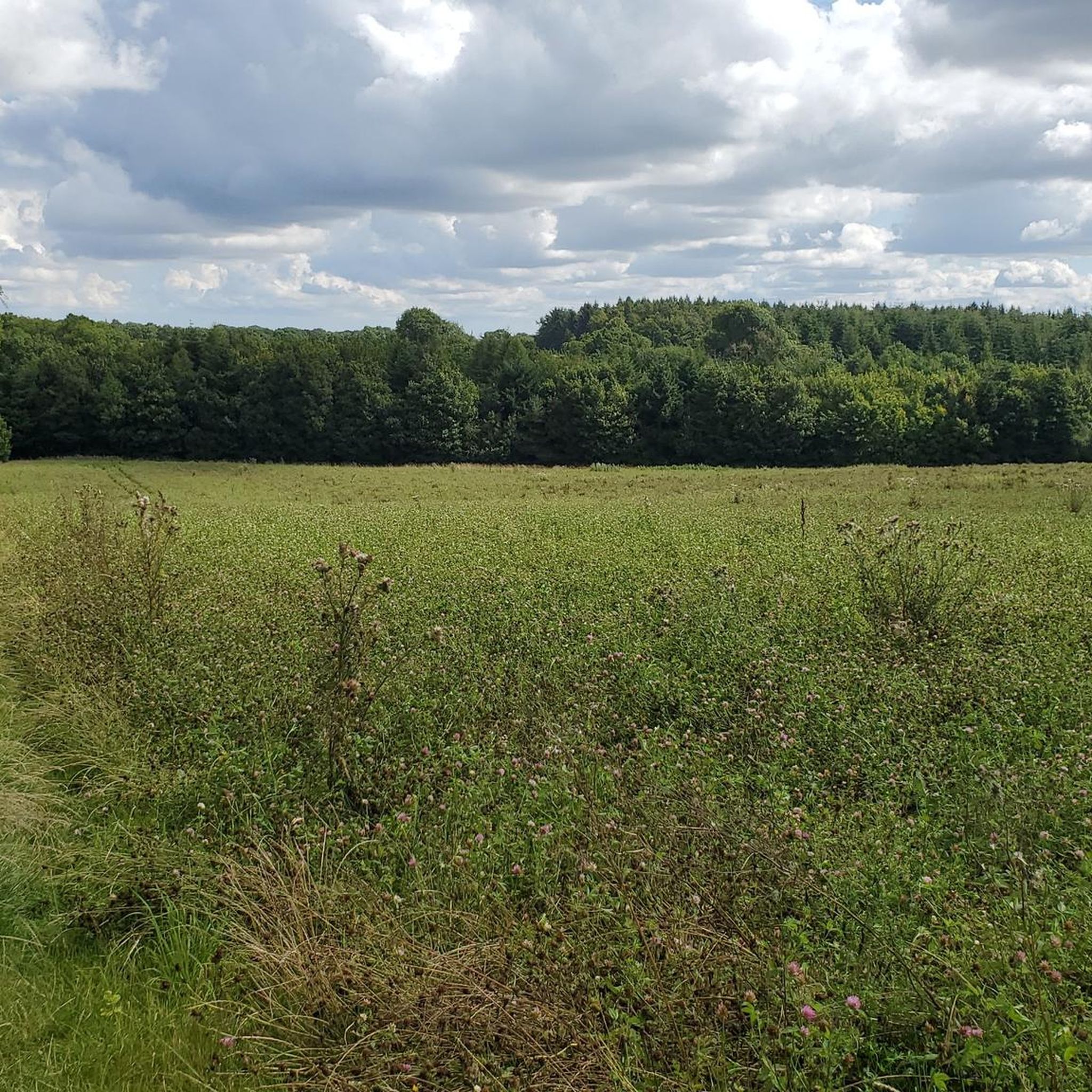
Lots of view points, people rock climbing and the up and downs test you as they are short, but a touch punchy for their short elevation!
0
0

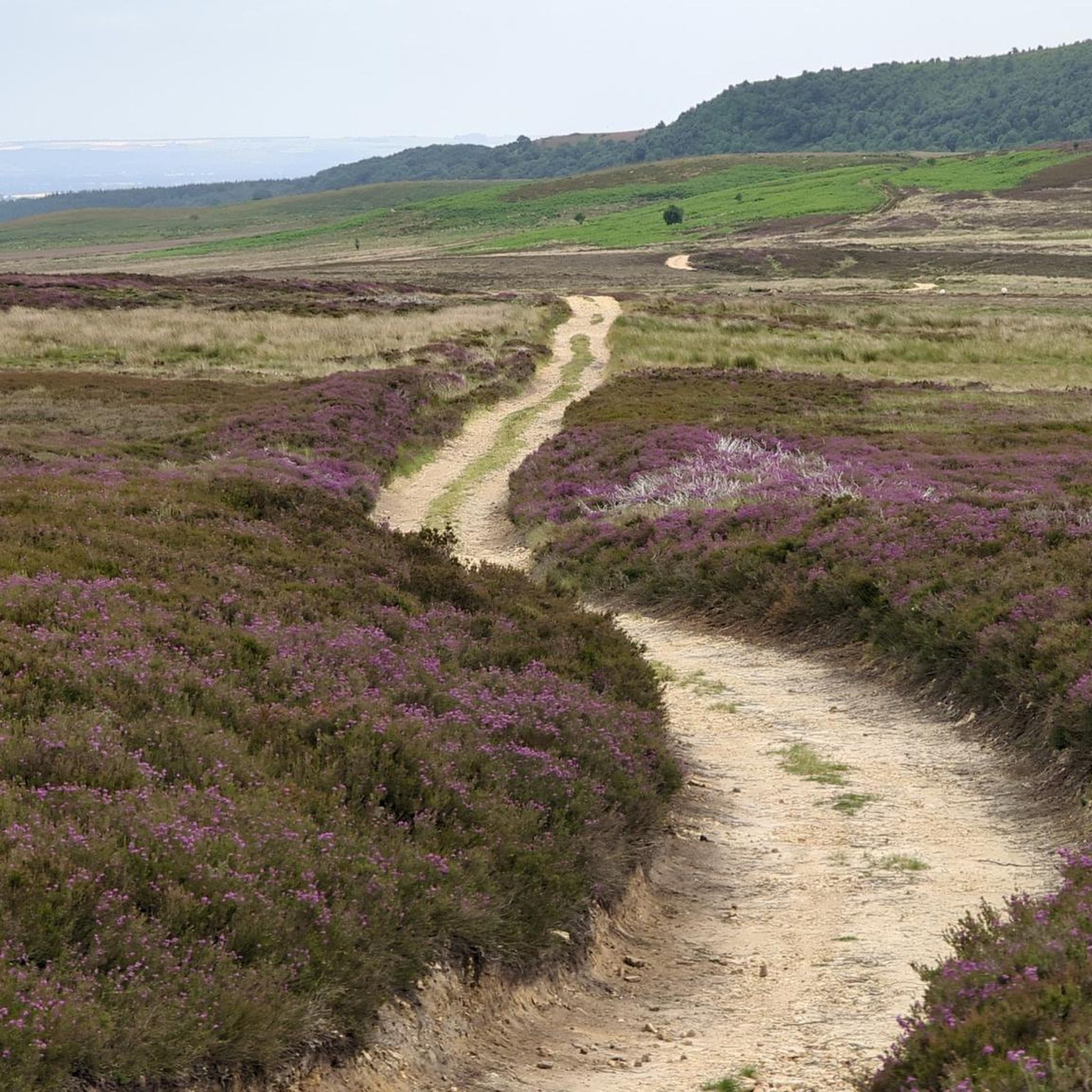
Just off the Cleveland Way and about halfway between Carr Ridge to the west and Bloworth Crossing to the east, spectacular views all around on a clear day.
1
0

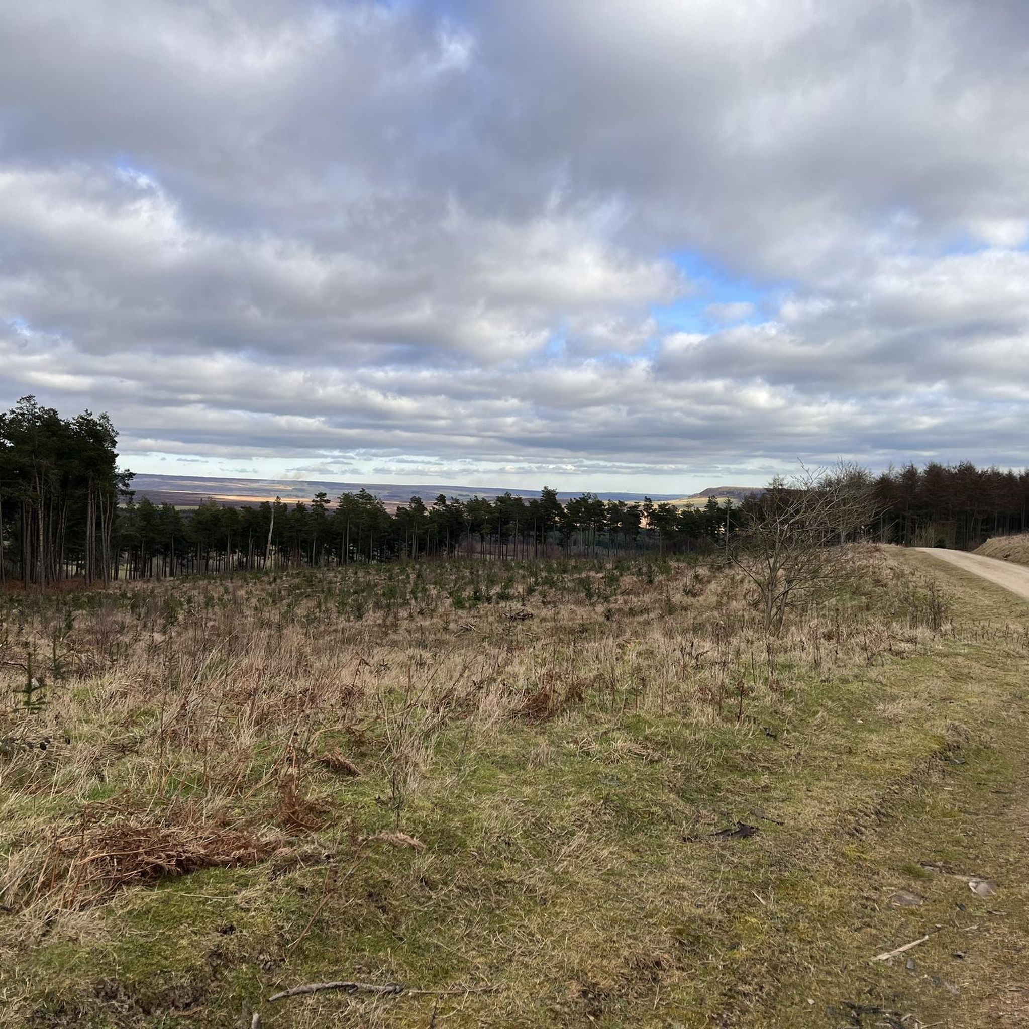
following on the trip there is a beautiful downhill forest path
0
0
A scheduled monument first listed in 1968, the barrow to the east of the track is quite prominent, the other two are on the west side of the track. Bowl barrows, the most numerous form of round barrow, are funerary monuments dating from the Late Neolithic period to the Late Bronze Age, with most examples belonging to the period 2400-1500 BC. They were constructed as earthen or rubble mounds, sometimes ditched, which covered single or multiple burials. The barrows each have an earth and stone mound which is round in shape. There are other similar barrows in this area of the Hambleton Hills. Many of these lie in closely associated groups, particularly along the watersheds. They provide evidence of territorial organisation marking divisions of land; divisions which still remain as some parish or township boundaries.
1
0
Judging from the number of recommendations, photos and tips, this is a hugely popular spot. If you can, get up there nice and early (I started 5.30am in May) to catch the rising sun and see the stones in a mix of sunlight and shadow, both from afar and close up. Spectacular rock formations and views all round.
3
0

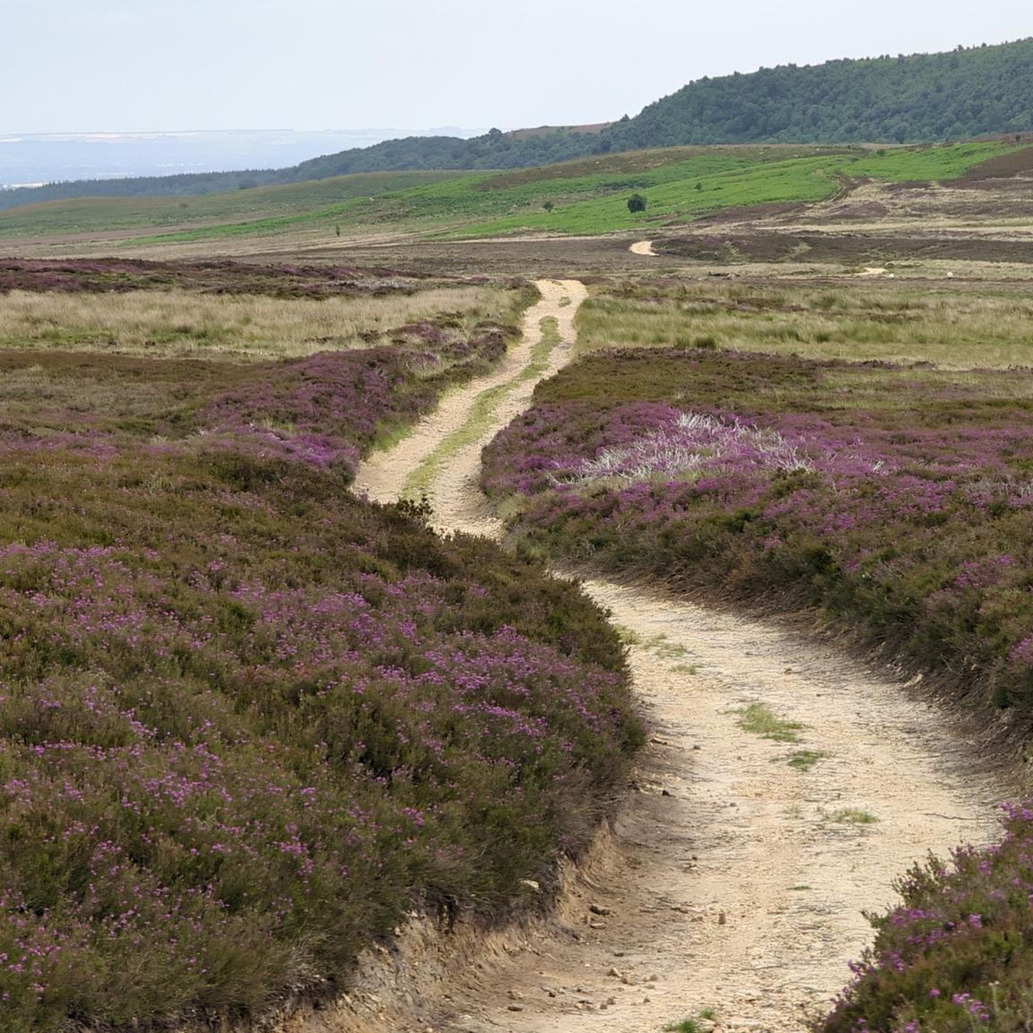
Sheriffs Pit is the location of an old iron mine. The views here are mint, you can see for miles through the valleys at the side of the double track
0
0

Take the open path to the South back to Carlton Bank. The views are good and it is a pleasant path. Avoid the dull and predictable forest track to the North recommended by most others
1
0
See the Landofiron.org.uk website for more engaging details on the Sheriff's Pit and other surviving elements of the Rosedale Mines and Railway.
0
0
Frequently Asked Questions
What types of natural monuments can I explore around Pockley?
Around Pockley, you can explore a diverse range of natural monuments including distinctive rock outcrops like The Wainstones, elevated summits such as Round Hill Summit (Highest Point of Urra Moor), and historical sites where nature has reclaimed the landscape, like Sheriff's Pit. The area also features ancient barrows and various viewpoints offering scenic vistas.
Are there any historical natural monuments in the Pockley area?
Yes, the Pockley area features several historical natural monuments. Sheriff's Pit is the remains of an old ironstone mine, now largely reclaimed by nature, offering extensive views. Additionally, Three Howes Barrows are scheduled monuments, which are ancient funerary mounds dating from the Late Neolithic to the Late Bronze Age, providing insight into early territorial organization.
Where can I find the best viewpoints among the natural monuments near Pockley?
For spectacular views, head to The Wainstones, which offers vistas across the Cleveland Hills and towards Middlesbrough. Round Hill Summit (Highest Point of Urra Moor) provides vast, peaceful views of the surrounding fells. You can also find commanding views north across Helmsley and East Moors from the Roppa Edge trig point.
What outdoor activities can I do near the natural monuments around Pockley?
The natural monuments around Pockley are excellent starting points for various outdoor activities. You can find numerous hiking trails, including routes like the 'Rievaulx Bank and Newgate Bank loop from Helmsley' or the 'Riccal Dale and Tabular Hills Loop'. For cycling enthusiasts, there are routes such as the 'Helmsley — Market Town – Helmsley Market Cross loop'. Gravel biking is also popular, with trails like the 'Hutton-le-Hole village – Blakey Bank Summit loop'. You can explore more options on the Hiking around Pockley, Cycling around Pockley, and Gravel biking around Pockley guide pages.
Are there hiking trails that incorporate these natural monuments?
Yes, many hiking trails in the area pass by or directly incorporate these natural monuments. For instance, Round Hill Summit is located on the popular Cleveland Way national trail. The Roppa Edge trig point is also situated on a great public footpath. You can find detailed routes and plan your hikes on the Hiking around Pockley guide.
What is unique about the rock formations near Pockley?
The most unique rock formations can be found at The Wainstones. This distinctive and fierce-looking rocky outcrop is a popular spot, known for its spectacular formations. There are also small collections of rocks with prehistoric carvings on the lower ground surrounding The Wainstones, though these can be difficult to see due to erosion.
Can I find wildlife at the natural monuments around Pockley?
While not explicitly a wildlife sanctuary, areas like Sheriff's Pit, an old ironstone mine site, have been reclaimed by nature and are associated with local wildlife. Ring ouzels, for example, have a long association with the mine, and rowan trees have been planted nearby to provide them with berries.
What should I bring for a walk to the natural monuments around Pockley?
Given the varied terrain, which includes elevated summits and exposed locations, it's advisable to bring appropriate hiking gear. This includes sturdy footwear, layers of clothing suitable for changing weather conditions, water, and snacks. If you plan to visit early in the morning, a headlamp might be useful, especially for catching sunrises at viewpoints like The Wainstones.
Are there any easy walks to natural monuments suitable for families around Pockley?
While specific 'easy' designations for family walks to natural monuments are not detailed, many of the trails around Pockley offer intermediate difficulty. For a general idea of family-friendly options, you can explore the Hiking around Pockley guide, which includes routes of varying difficulties, such as the 'Fairy Staircase – Duncombe Park Mansion loop from Helmsley' which is rated as easy.
What is the highest point I can visit among the natural monuments?
The highest point you can visit among the natural monuments around Pockley is Round Hill Summit (Highest Point of Urra Moor). Standing at 454 meters (1,490 feet), it marks the highest point in the North York Moors National Park, offering expansive views.
How long does it typically take to visit the natural monuments?
The time required to visit the natural monuments varies depending on which sites you choose and the length of your walk. For instance, a visit to a single viewpoint like The Wainstones might take a few hours as part of a longer hike. If you plan to explore multiple sites or undertake a circular walk, you should allocate a full day. Check the route details on the Hiking around Pockley guide for estimated durations.
Are the natural monuments around Pockley dog-friendly?
Generally, many outdoor areas and trails in the North York Moors National Park, where these natural monuments are located, are dog-friendly. However, it's always recommended to keep dogs on a lead, especially near livestock or ground-nesting birds, and to follow the Countryside Code. Specific restrictions might apply to certain historical sites or sensitive natural areas, so check local signage.
Most popular attractions around Pockley

Get inspired with the komoot mobile app


Explore more
Extend your search for the best caves by checking out these guides of the top ones around Pockley:
