The best gravel rides around Pockley
4.9
(7)
93
riders
9
rides
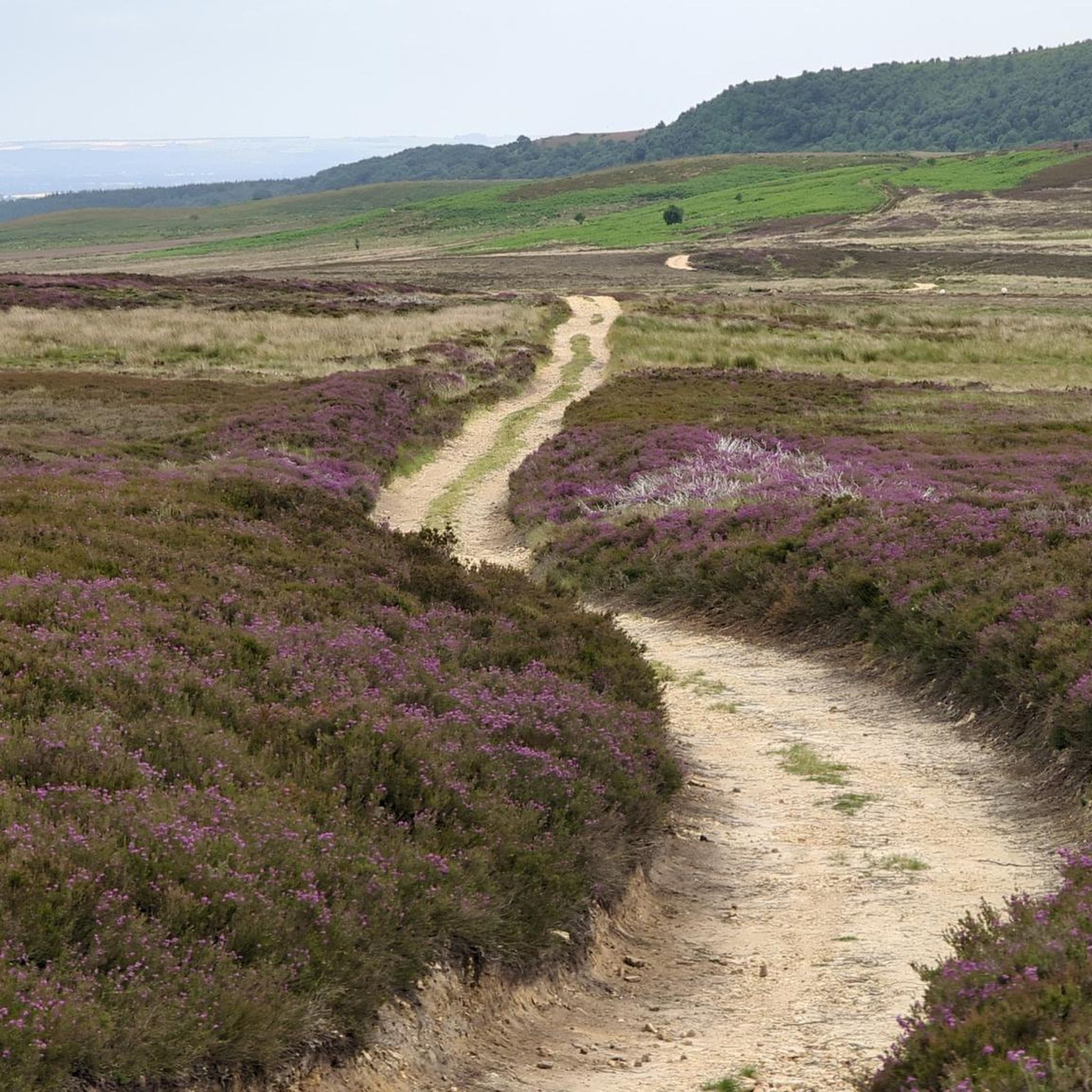
Gravel biking around Pockley offers a network of trails through varied terrain in North Yorkshire. The region features rolling hills, open moorland, and areas of woodland, with elevations reaching over 200 meters at points like Blakey Bank Summit. Routes often connect historical sites and villages, providing a mix of natural landscapes and cultural points of interest. The area's geology supports diverse gravel surfaces suitable for cycling.
Best gravel bike trails around Pockley
- The most popular gravel bike trail is Hutton-le-Hole…
Last updated: July 3, 2026
23
riders
37.9km
02:20
450m
450m
Hard gravel ride. Very good fitness required. Mostly paved surfaces. Suitable for all skill levels.
4.7
(3)
29
riders
37.4km
02:15
440m
440m
Moderate gravel ride. Good fitness required. Mostly paved surfaces. Suitable for all skill levels.

Sign up for free
14
riders
32.1km
01:56
400m
400m
Moderate gravel ride. Good fitness required. Mostly paved surfaces. Suitable for all skill levels.
5.0
(2)
14
riders
36.2km
02:11
520m
520m
Hard gravel ride. Very good fitness required. Mostly paved surfaces. Suitable for all skill levels.
5.0
(1)
9
riders
18.0km
01:12
270m
270m
Moderate gravel ride. Good fitness required. Mostly paved surfaces. Suitable for all skill levels.
Get access to more routes and recommendations from other explorers.
Sign up for free
Already have an account?
Our route recommendations are based on thousands of hikes, rides, and runs completed by other people on komoot.
Start today with a free account
Your next adventure awaits.
Login or Signup
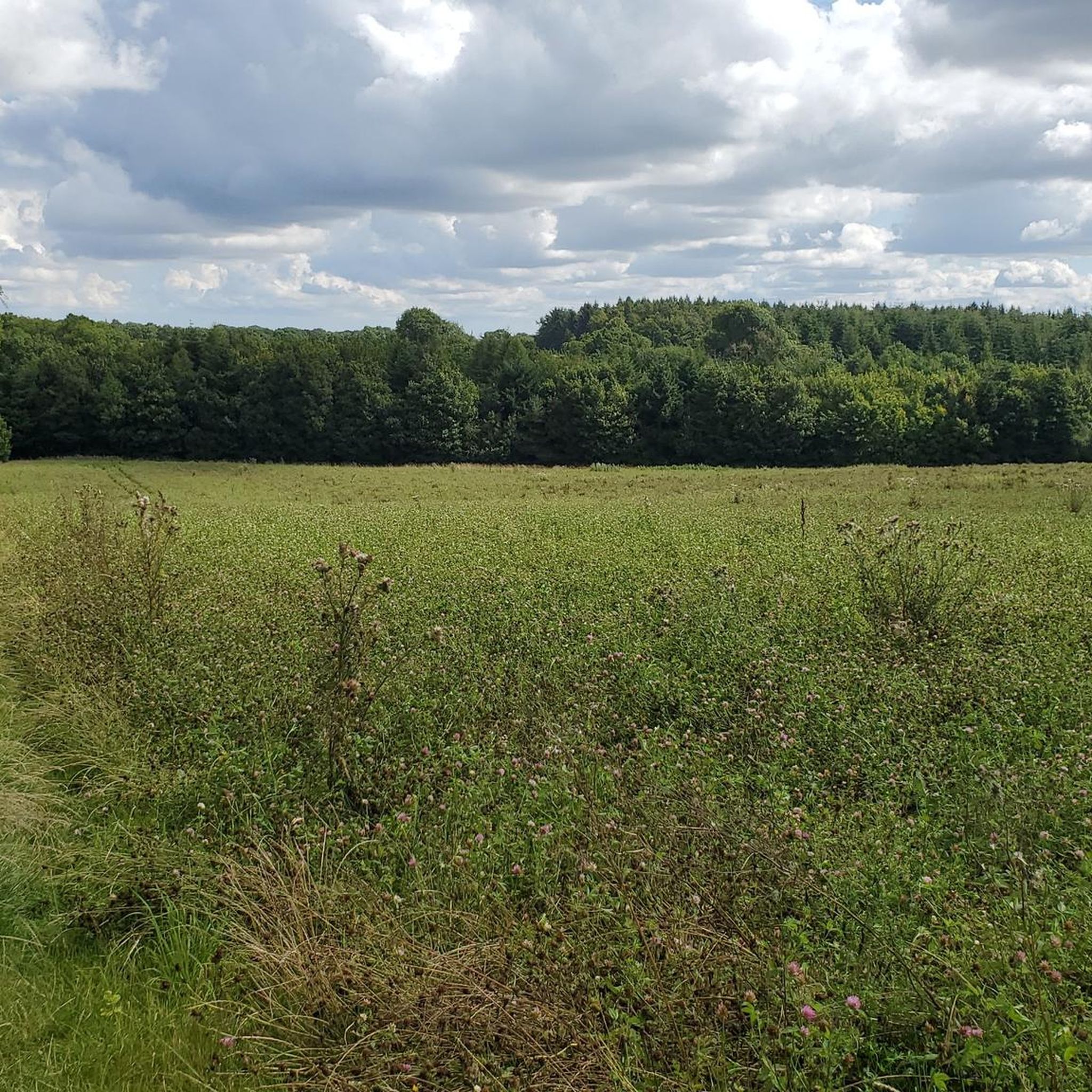
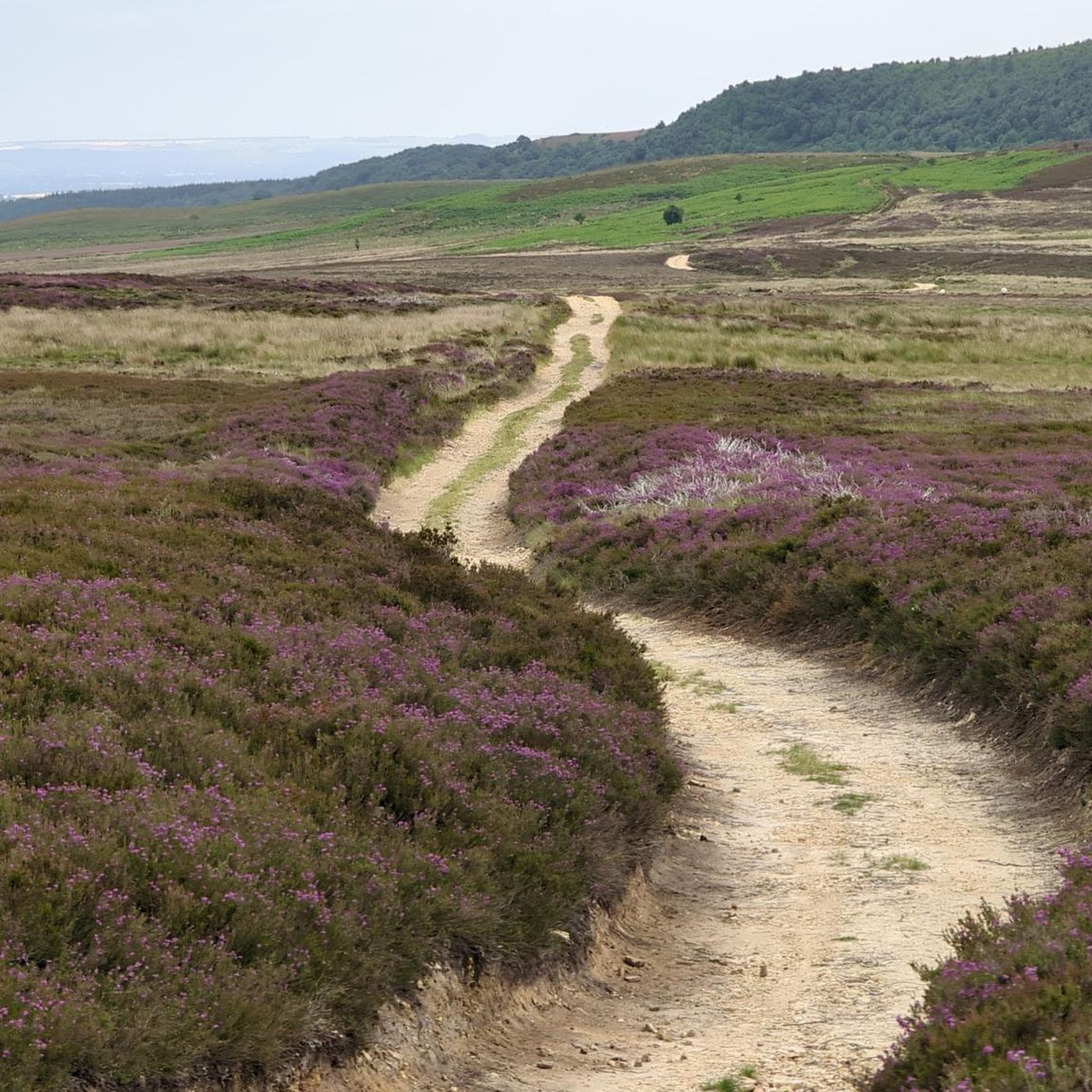
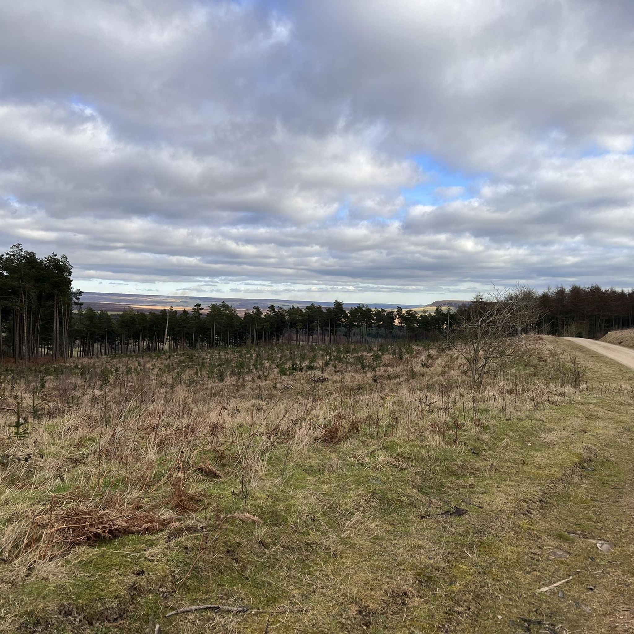
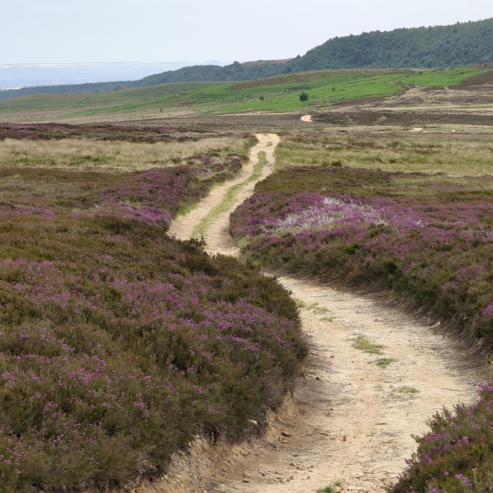
Tips from the Community

The A170 is a busy road so if cycling try to minimise the distance you have to ride along it
0
0

Tough ride up to here and could be dangerous to go down, but fantastic views!
0
0

Graze on the Green cafe, excellent food
0
0


Note that the Abbey itself is English Heritage and has both cafe and toilets available accessible without paying admission/requiring membership. The only downside is that to get there from Rievaulx Terrace it is down a steep hill.
0
0


Clay Bank Car Park sits just below the top B1257 road. It is a great place to start walks on the moors to the east or the Cleveland Hills to the west. There is also fantastic views from this place.
0
0
Frequently Asked Questions
How many gravel bike trails are available around Pockley?
There are 10 gravel bike trails around Pockley, offering a mix of moderate and difficult routes through varied terrain.
Are there gravel bike trails suitable for beginners or families in Pockley?
While Pockley's gravel trails are generally rated moderate to difficult, routes like the View from Clay Bank loop from Broughton Bank SSSI, at 18 km, offer a shorter, moderate option that might be more manageable for those newer to gravel biking or families with older children. The area features rolling hills and varied surfaces, so some experience is beneficial.
What are the best options for advanced gravel bikers looking for a challenge?
Advanced riders will find challenging routes with significant elevation gain, such as the difficult Hutton-le-Hole village – Blakey Bank Summit loop from Hutton-le-Hole, which covers 37.9 km and features over 450 meters of ascent. Another demanding option is the Rievaulx Abbey – Helmsley Castle loop from Wombleton, a 36.2 km difficult trail with over 520 meters of climbing.
Are there any circular gravel bike routes around Pockley?
Yes, many of the gravel bike trails around Pockley are circular. For example, the popular Sheriff's Pit – Blakey Bank Summit loop from Hutton-le-Hole is a moderate 37.4 km circular route that traverses open moorland. Another option is the Blakey Bank Summit – Sheriff's Pit loop from The Lion Inn, a 32.1 km moderate circular trail.
What kind of terrain and surfaces can I expect on the gravel bike trails?
The gravel bike trails around Pockley feature diverse terrain, including rolling hills, open moorland, and woodland sections. You can expect varied gravel surfaces, from compacted tracks to looser sections, suitable for gravel bikes. Elevations can reach over 200 meters at points like Blakey Bank Summit.
What interesting landmarks or attractions can I see along the gravel bike trails?
Many trails connect to historical sites and natural features. You might encounter highlights such as Rievaulx Abbey, the unique rock formations of The Wainstones, or the historic Bank Top Iron Kilns. The trails also pass through charming villages like Hutton-le-Hole, with its picturesque Village Green and Stream.
Are there any good viewpoints along the gravel bike routes in Pockley?
Yes, the open moorland sections and higher elevations offer excellent viewpoints. Routes that ascend to Urra Moor – Highest Point of the North York Moors or Round Hill Summit provide expansive views of the surrounding North Yorkshire countryside. The Sheriff's Pit – Blakey Bank Summit loop also offers scenic vistas across the moorland.
When is the best time of year to go gravel biking in Pockley?
The best time to go gravel biking in Pockley is typically during the spring, summer, and early autumn months when the weather is milder and the trails are generally drier. The open moorland can be exposed to strong winds and rain, so checking the forecast is always advisable.
What are the winter conditions like for gravel biking in Pockley?
During winter, conditions can be challenging. The open moorland areas are exposed and can experience cold temperatures, strong winds, and potentially snow or ice, making some trails impassable or very difficult. Shorter daylight hours also require careful planning. It's recommended to check local weather conditions and trail reports before heading out in winter.
What do other gravel bikers enjoy most about the trails in Pockley?
The gravel bike trails around Pockley are highly rated by the komoot community, with an average score of 4.875 stars. Riders often praise the varied terrain, the sense of remoteness on the open moorland, and the combination of natural beauty with historical points of interest.
Where can I find parking for the gravel bike trails near Pockley?
Parking is often available in or near the villages that serve as starting points for many routes. For example, routes starting from Hutton-le-Hole or near The Lion Inn typically have designated parking areas. It's always a good idea to check specific route details for parking information before your ride.
Are there cafes or places to refuel near the gravel bike trails?
Yes, many routes pass through or near villages where you can find cafes, pubs, or small shops to refuel. Hutton-le-Hole is a common starting point and offers amenities. The Lion Inn, mentioned as a starting point for one route, is also a good option for refreshments. Planning your route to include these stops is recommended.
Most popular attractions around Pockley

Get inspired with the komoot mobile app


Explore more
Browse the best Gravel rides in other regions.
